
|
 By Trail Contributor: Zach Robbins (Contact Zach) By Trail Contributor: Zach Robbins (Contact Zach)
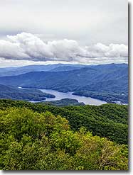
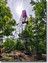
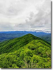
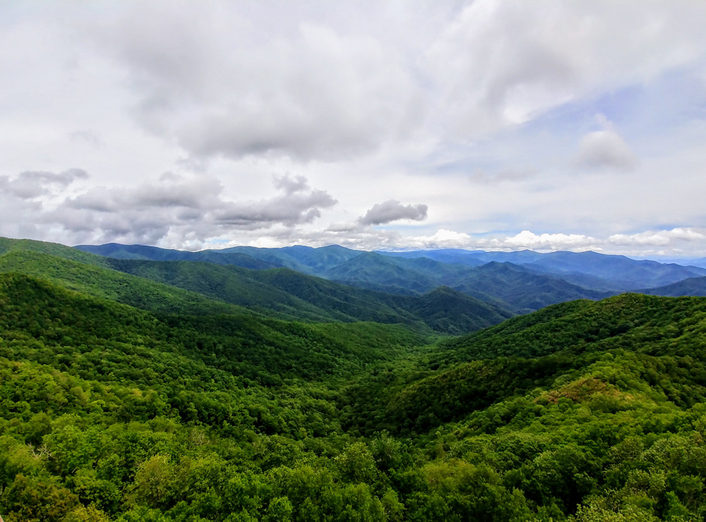
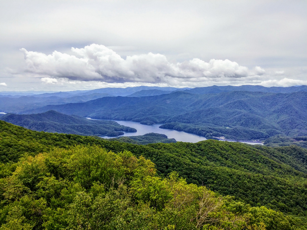
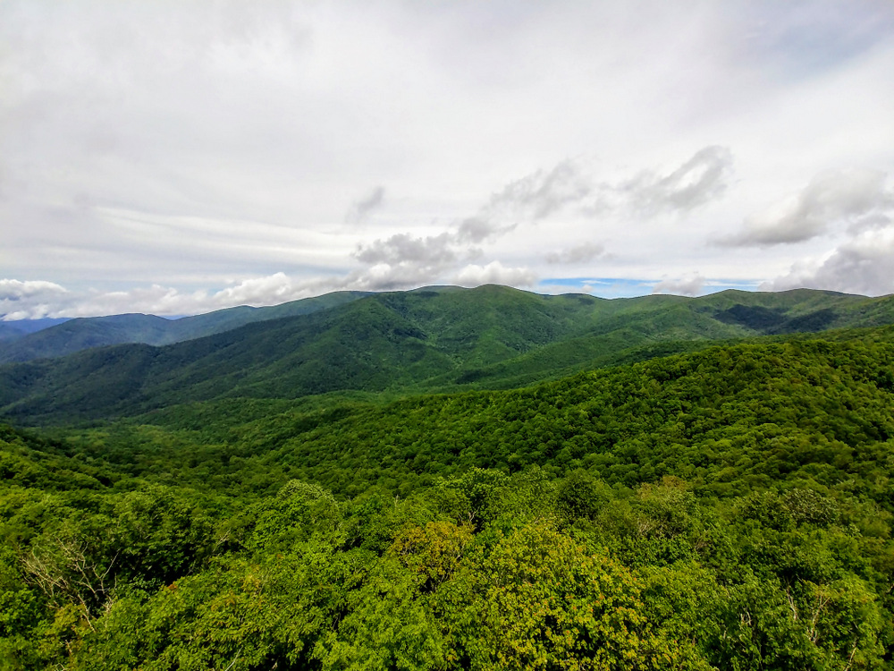
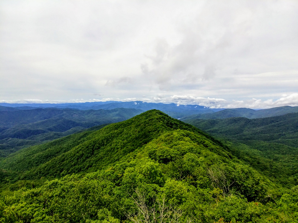
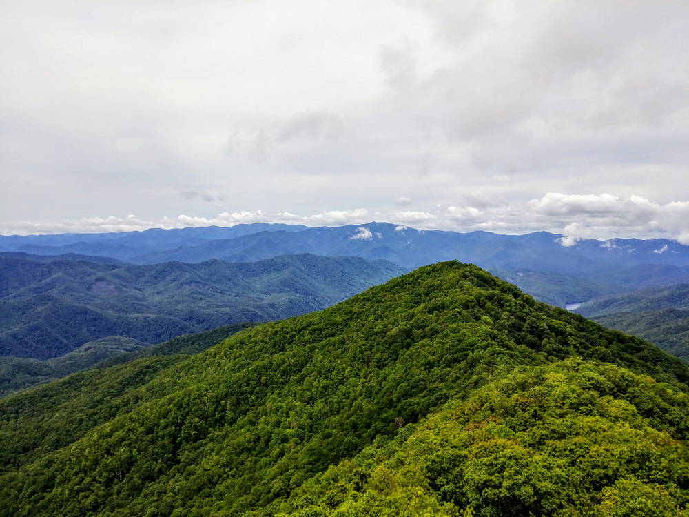
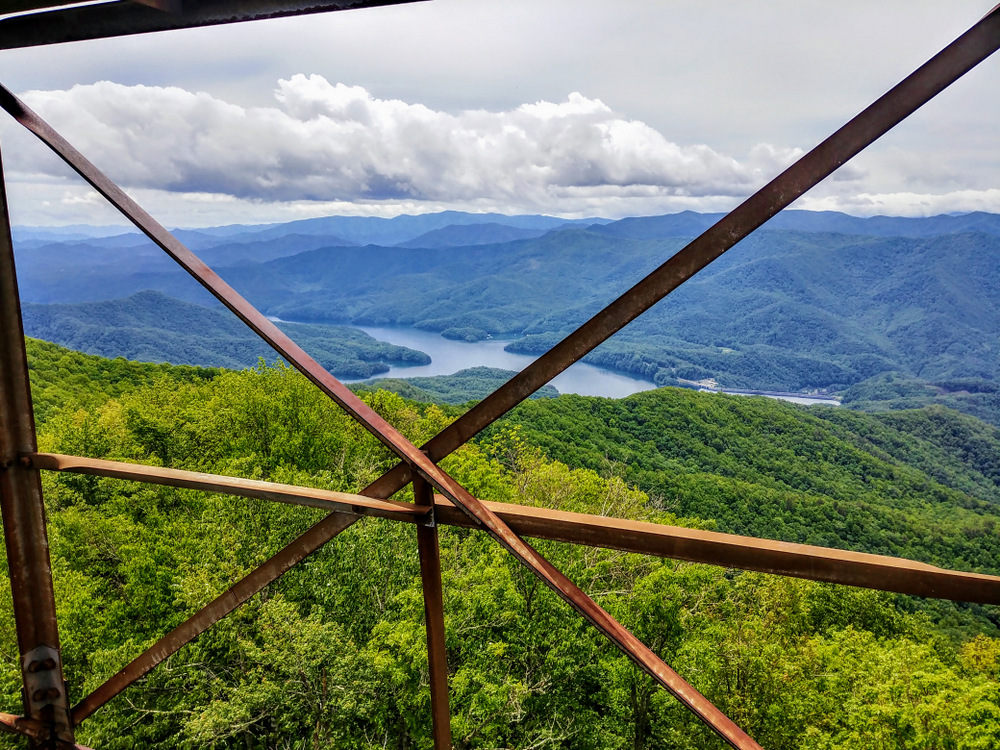
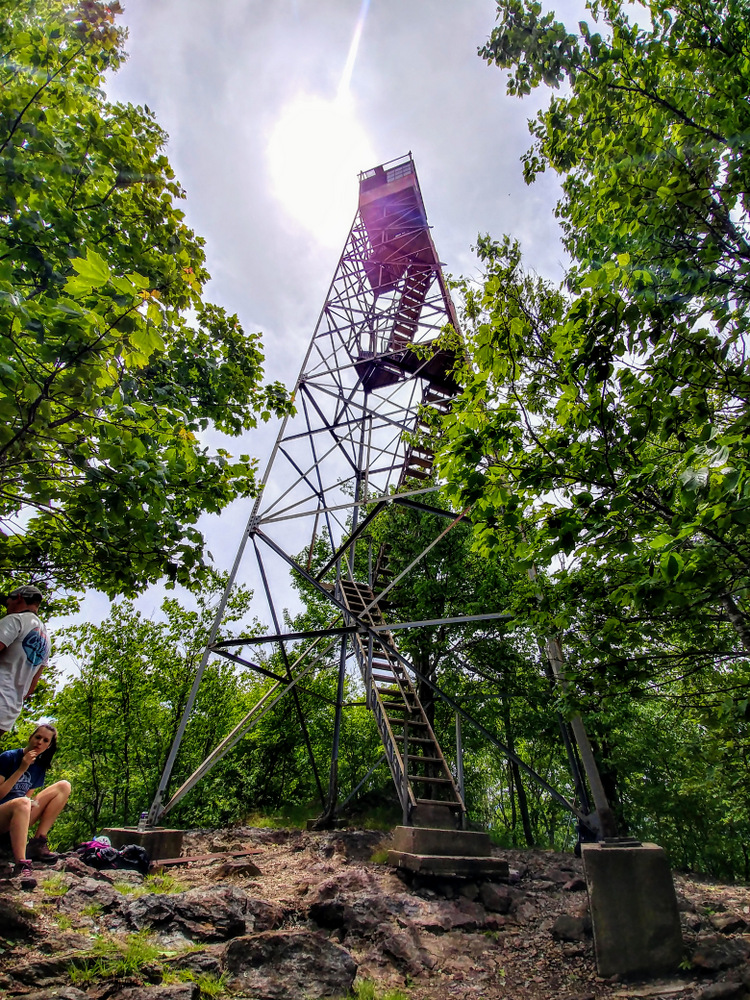
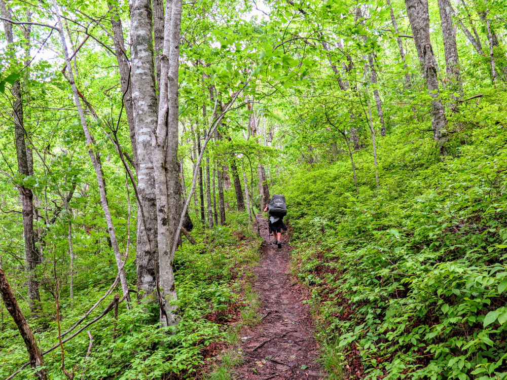
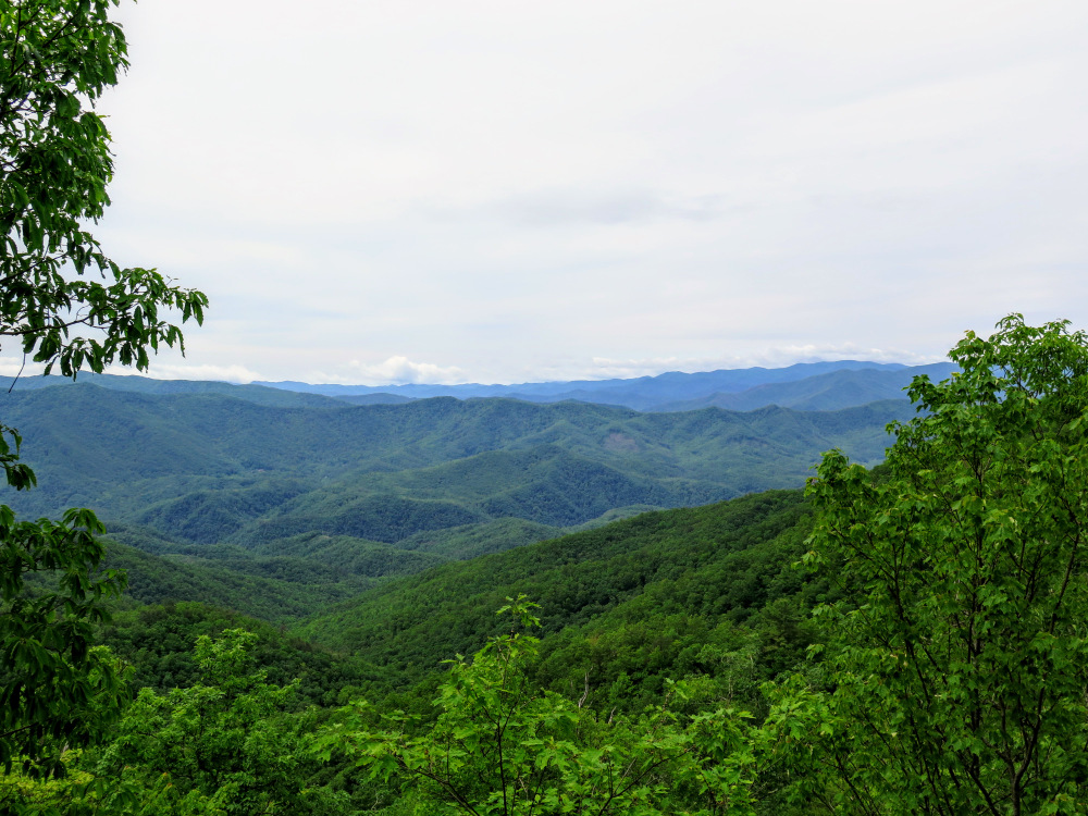
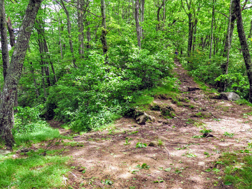
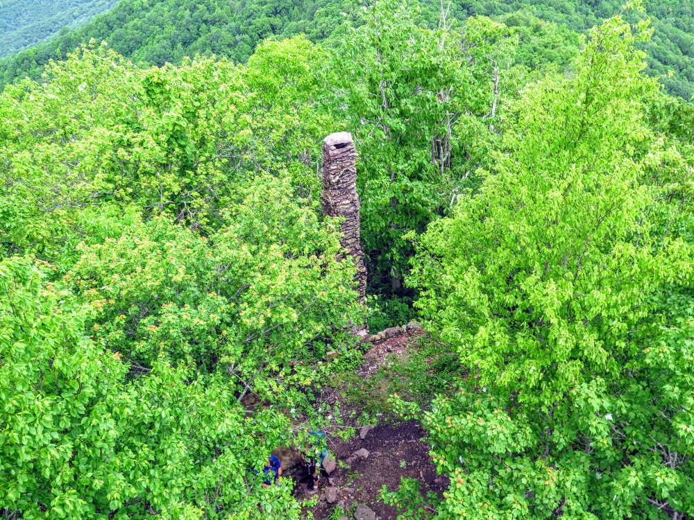
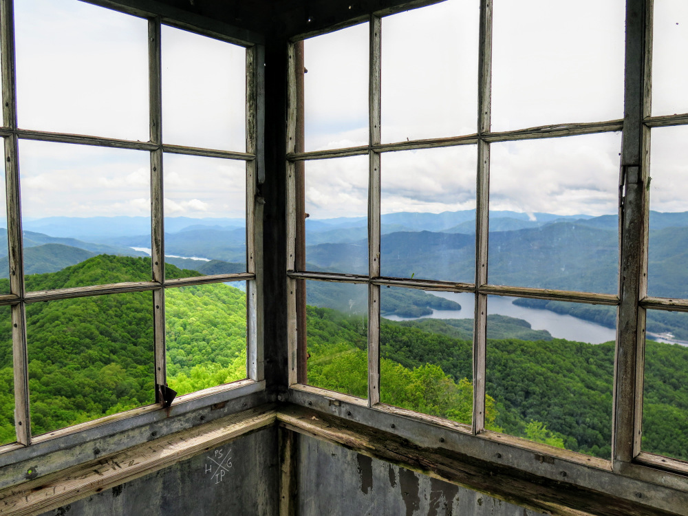
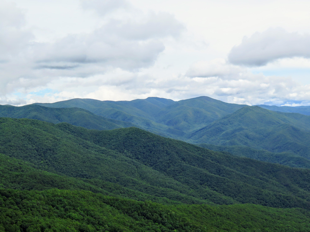
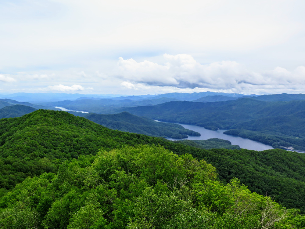
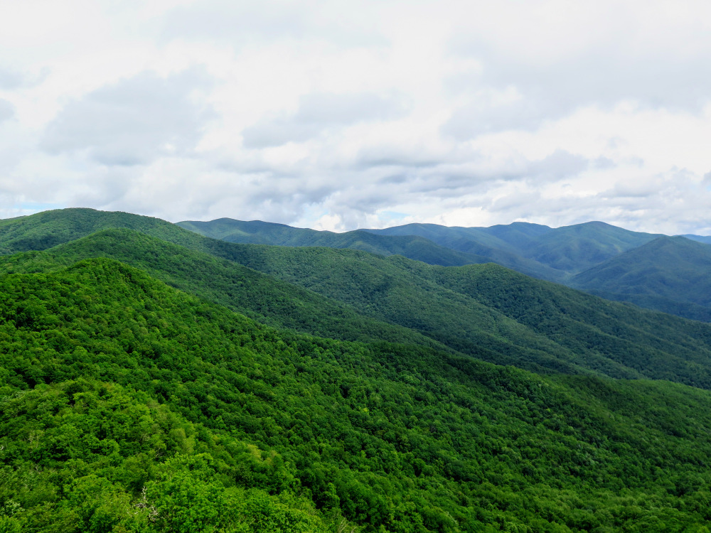
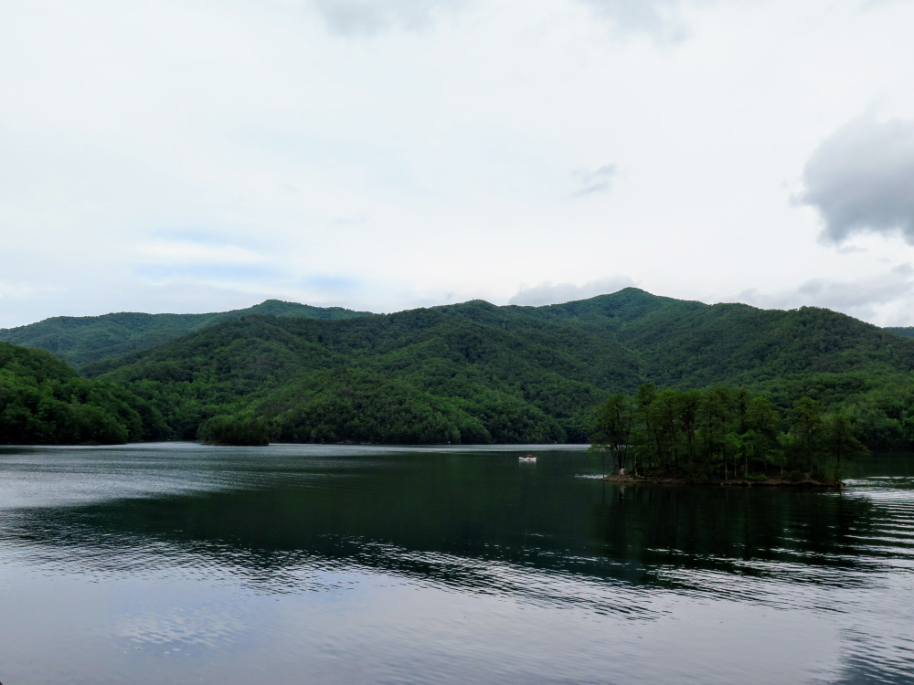
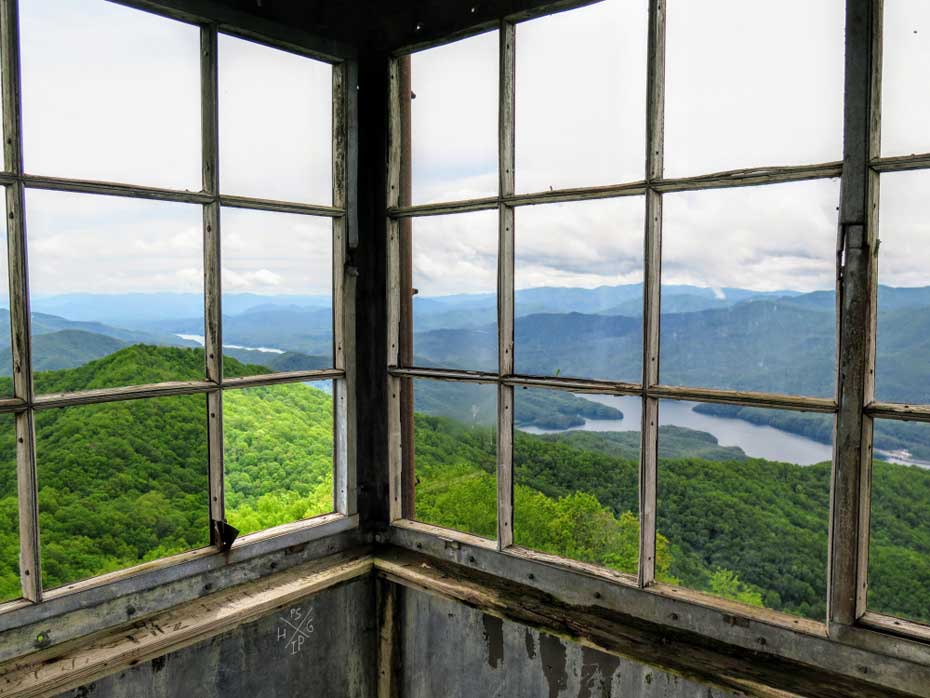
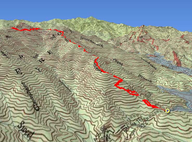
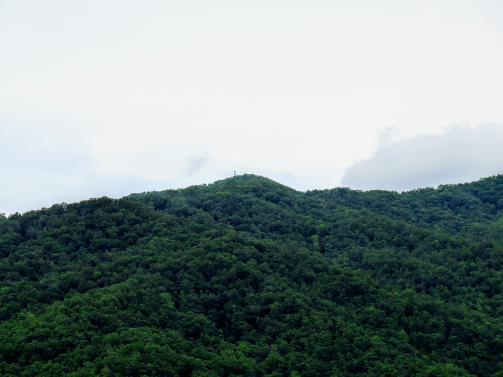
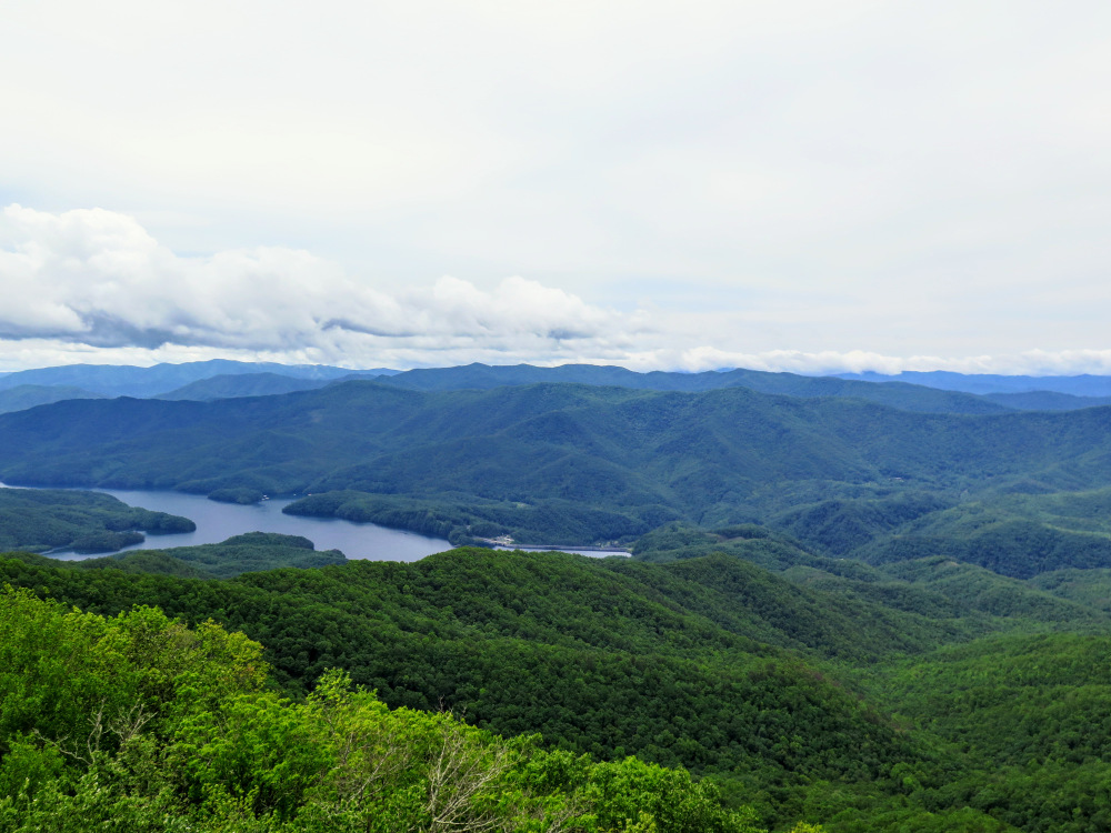
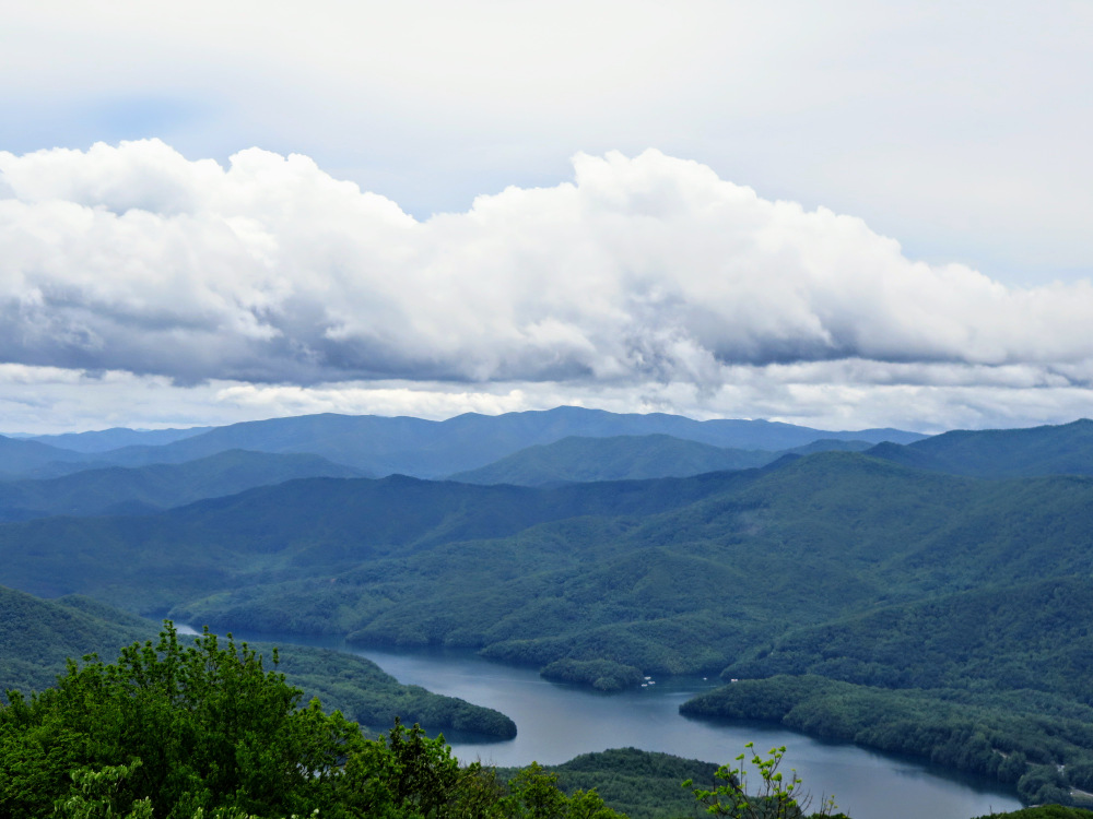
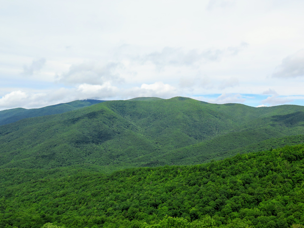
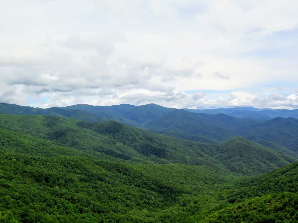
The Appalachian Trail first enters Great Smoky Mountains National Park by crossing Fontana Dam then vigorously climbs towards Shuckstack lookout tower. In 1944 the Little Tennessee River was dammed to form Fontana Lake, which drastically changed the regional landscape. Formerly, the Appalachian Trail passed through Deals Gap and climbed to Gregory Bald along the state line. In 1947 the trail was rerouted across Fontana Dam to ascend Shuckstack, the site of one of the tallest lookout towers in North Carolina. Officially, the Appalachian Trail does not cross the summit of Shuckstack, but a short 0.1-mile side trail brings you to the 60-foot lookout tower with outstanding 360° views of the region. This is a popular hike despite its difficulty and you will see many day hikers, backpackers, and thru hikers on this trek. From the stairs you can see most of Fontana Lake, the Cheoah Mountains, Snowbird Mountains, Unicoi Mountains, and the remote interior of the southwestern Great Smoky Mountains. Despite its relatively low elevation, the views from Shuckstack are considered among the best in the national park.
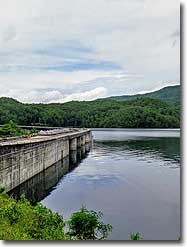
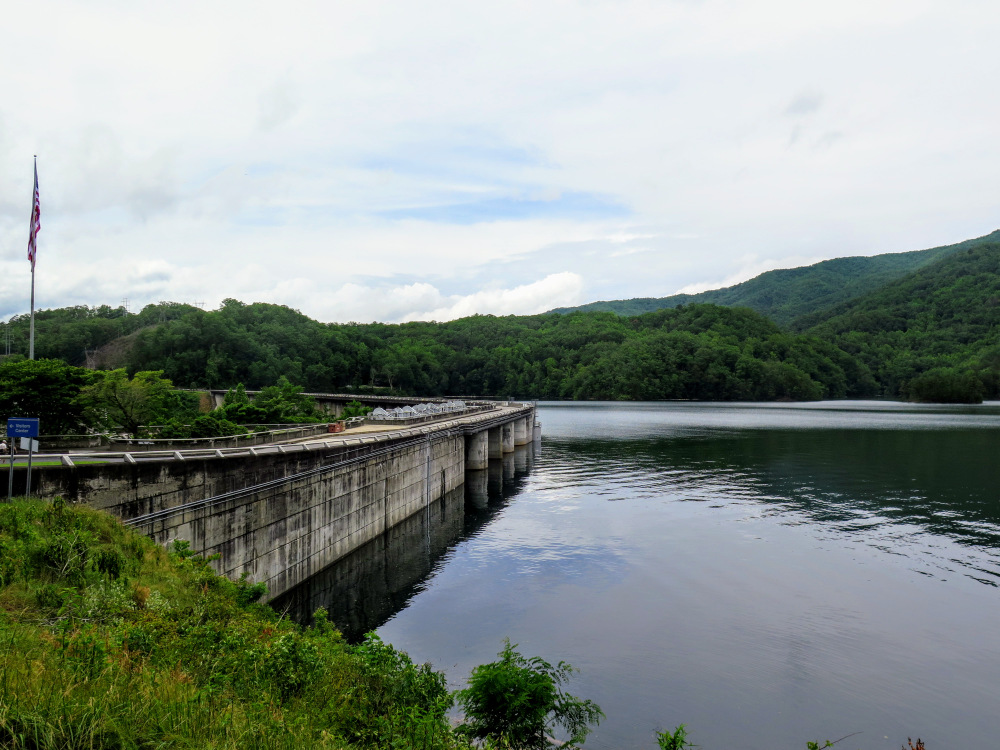
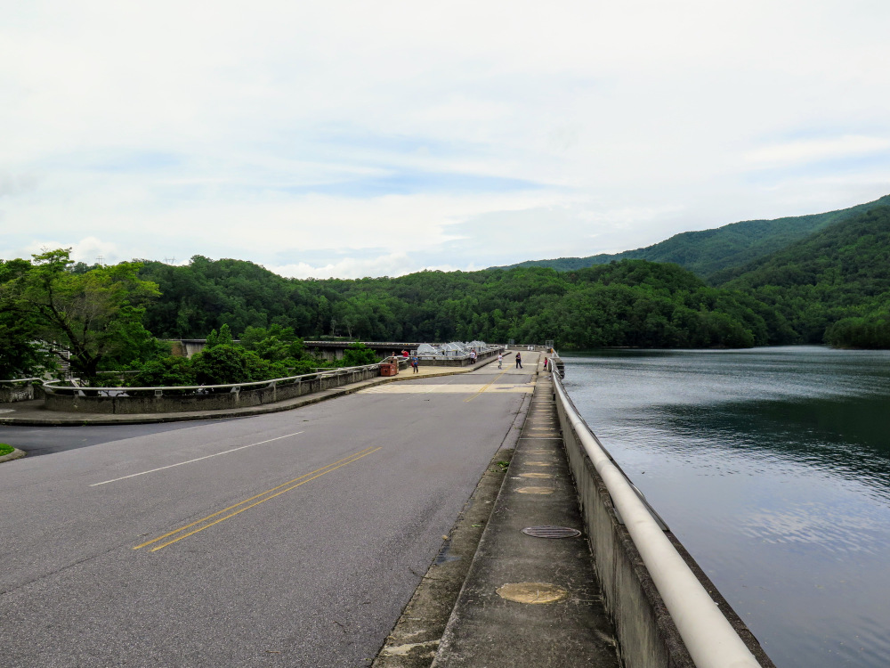
While you’re there – Save some time to stop at Fontana Dam, the tallest in the East at 480 feet. There are multiple locations to park around the dam, and you can walk across the entirety of the dam and check out the visitors center. From the dam you can see Shuckstack lookout tower high above the lake. The Appalachian Trail crosses the dam and follows Lakeshore Drive, but this is nearly 1 mile from the trailhead. If you choose to park here for the hike it would be an 8.6-mile round trip.
| Mile Summary and Highlights |
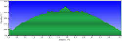
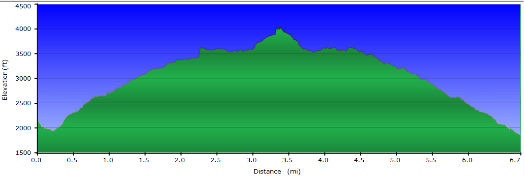
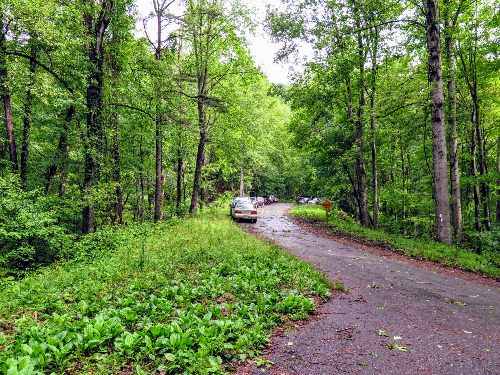
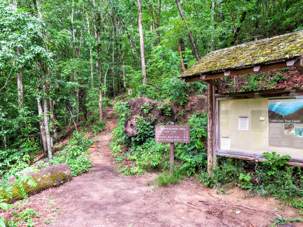
0.0 - Follow Appalachian Trail north from Lakeshore Drive gate
3.2 - Unmarked summit path leaves Appalachian Trail
3.3 - Shuckstack summit (4,024 feet) and 60-foot lookout tower |
|
