|
 By Trail Contributor: Jeff Monroe (Email Jeff)
The Slate Lick area, northwest of Harrisonburg in the George Washington National Forest, is tough to find. Once you are in the area however, it is a delightful place surrounded by mountains. You will pass many dispersed, stream-side car campsites as you approach the trailhead within the National Forest, so it is easy to make this into a relaxing weekend trip with a basecamp and a nearby loop day hike.
Notice: As of 3/14/2023, the road portion of this loop is closed due to work on electrical transmission lines in the area. You can see current location of road closures due to this activity by going to this website.
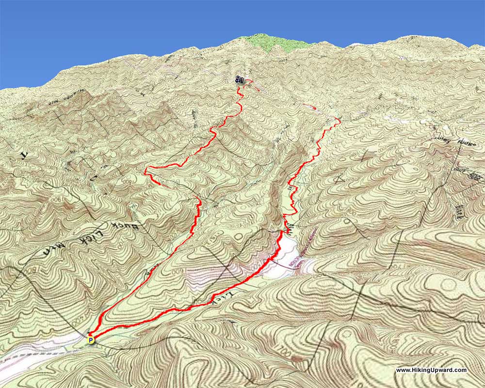
This loop features two very different trails. The Anthill Trail climbs over 2,500 feet (leaving you to wonder who came up with that name because it is no anthill!), while the Slate Lick Trail slowly loses elevation in a forested stream valley. They are connected by the Gauley Ridge Road (FS #240), which drops steeply between the two trails. A nicer hike is to follow the loop clockwise, hiking the Anthill Trail first, as it avoids a steeper climb that is open to the sun on the Gauley Ridge Road.
-
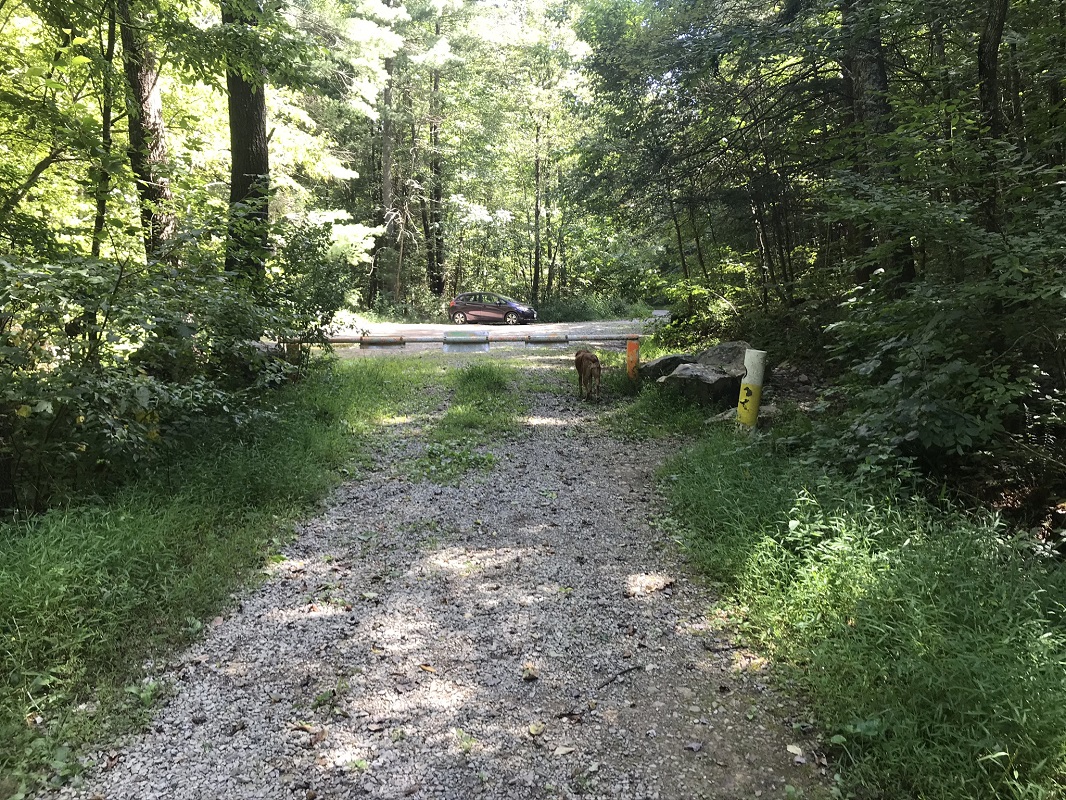
Mile 0.0 – Start the hike in a parking area at the end of the public access portion of FS #230. This parking is primarily used by fisherman accessing Slate Lick Lake, a forest service lake about a half-mile west of the parking area. At the end of the parking lot is a closed gate for a Forest Service road you will take back to your vehicle. Do not take this, but instead retrace your route briefly back the way you drove in.
-
Mile 0.1 – Take a right onto FS #1279.
-
Mile 0.3 – Pass a car campsite off of the road on your left.
-
Mile 1.1 – A rough road that quickly turns into a trail enters from the right. Continue on the main road. Shortly after this, the road fords Buck Lick Run.
-
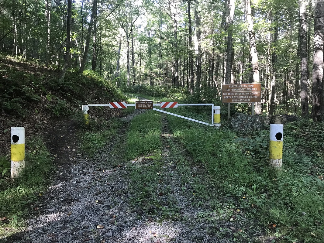
Mile 1.2 – Come to a closed gate. A sign here says that the road beyond is open by permit only for permanently disabled hunters. Continue on the road, heading uphill at a moderate clip.
-
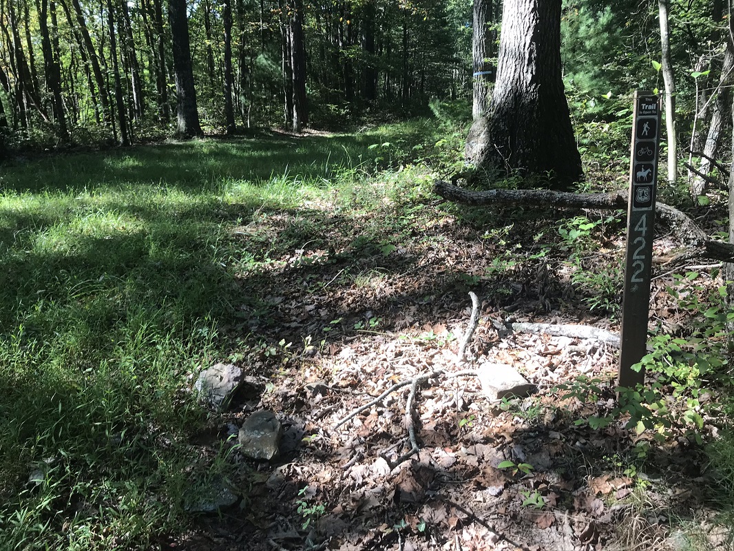
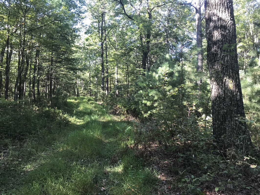
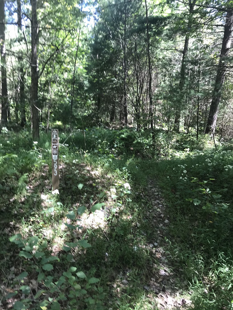
Mile 1.8 – The road levels off at a point where multiple forest roads that are more overgrown converge. A small sliver of private property connects on your left (east). Although the road here continues downhill to a small lake you cannot see from this location in summer, look to the right for a metal marker signifying Trail #422. Follow this, traversing on a grass covered old woods road.
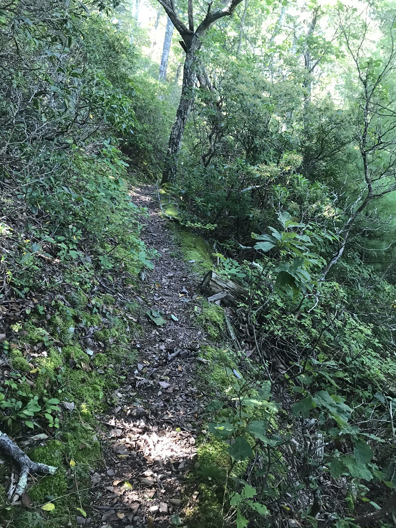
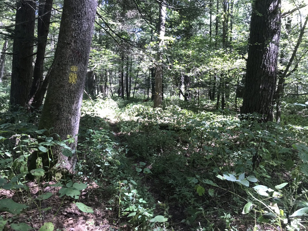
- Mile 2.6 – Reach a point where the old road ends at a turnaround. Years ago, the trail started here, and it is still possible for those with a permit to drive to this point. Beyond this, you will not be following a road but will be on a singletrack trail, occasionally marked by faded yellow blazes, that rides a ridge as it ascends heading west.
|
-
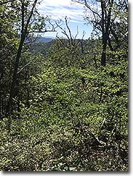
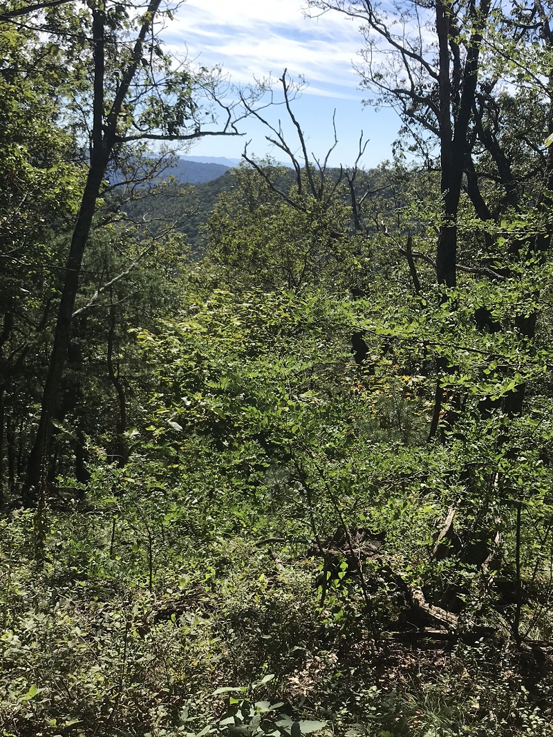
Mile 4.2 – On your left is an opening in the trees allowing for a partial vista southeast, where the southern end of Massanutten Mountain is clearly visible. After this, the trail drops off the ridgetop and climbs the north side of the ridge.
-
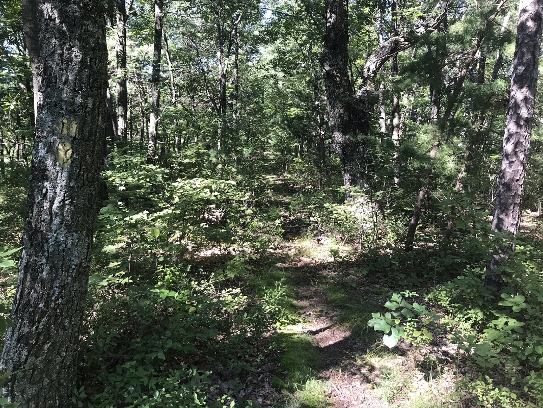
Mile 4.8 – The trail travels through a section of forest that appears to have experienced a fire at least 10 years ago. The taller trees here are dead, and the undergrowth is heavy in summer. The trail is still easy to follow, but you are sharing the trail with many plants. Unlike National Forest trails to the south and north of here, the trails on this loop are not maintained by the Potomac Appalachian Trail Club, of which several HikingUpward staff are members and volunteers. Without maintenance, the trails can get somewhat overgrown.
-
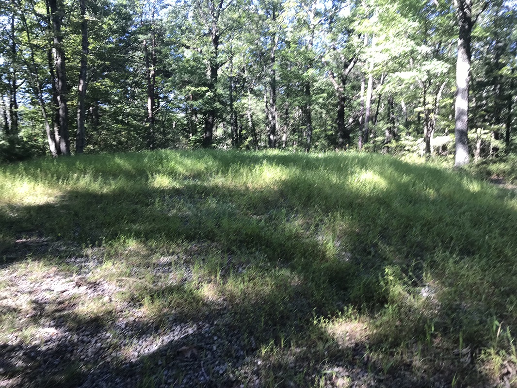
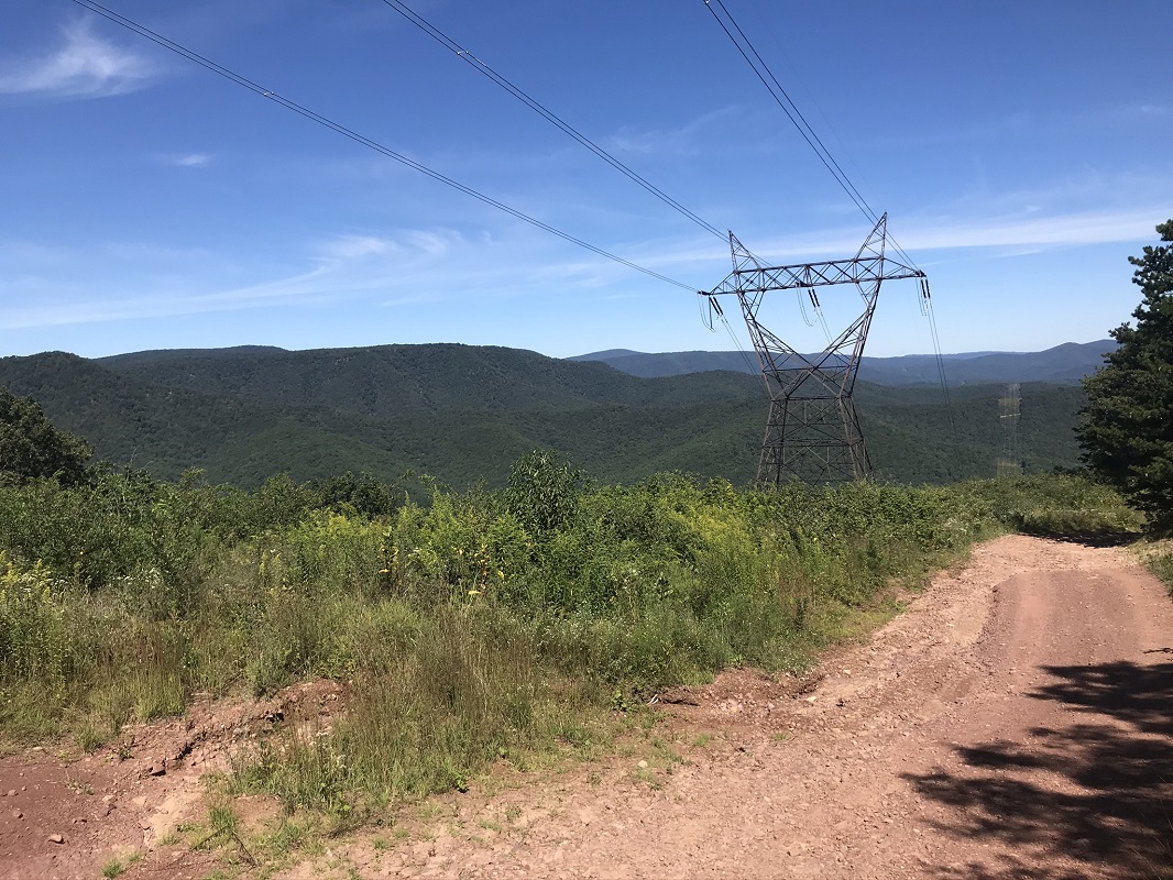
Mile 5.0 – The trail breaks out of the forest and greets the Gauley Ridge Road (formerly known as Vepco Road), FS 240, which is open to the public from April 1 to December 31 each year. There is a small wildlife pond on your left. You will descend this road to the Slate Lick Trail, but before you do you should ascend the road to the nearby power lines for the best view of the hike. This adds 0.3 mile to your distance, and passes by a very nice car campsite with a big view. Once you have gotten up to the cut created for the transmission lines, turn around and descend on the Gauley Ridge Road via several switchbacks after passing the spot where the Anthill Trail ended.
-
Mile 6.2 – The road passes under the power lines again, with a tower access road on your right. Stay on the main road.
-
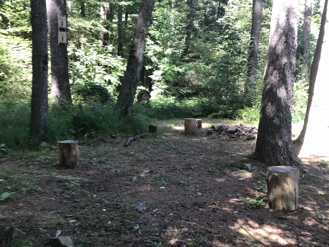
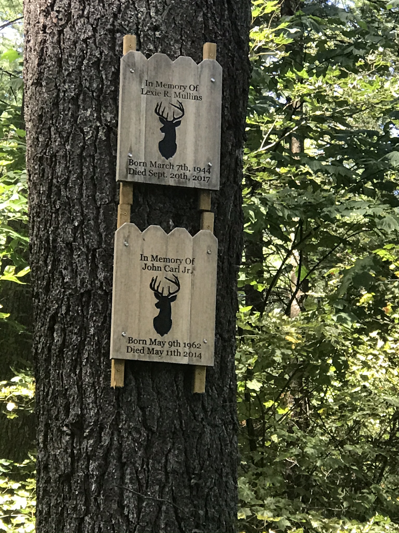
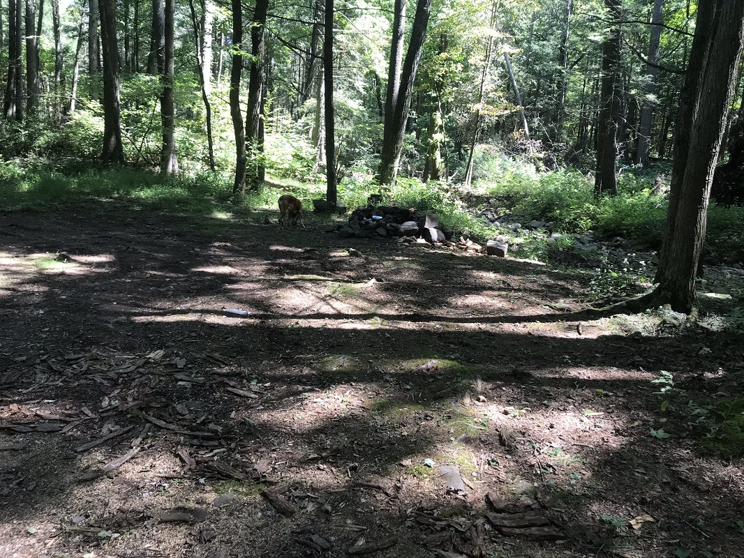
Mile 7.1 – Reach the bottom of the ascent. Maps may show a small pond on your right, but that does not exist. On your left is a large car campsite that a family has clearly adopted as their own, even placing memorial plaques on the site for deceased family members. Pass another campsite on your right shortly afterward.
-
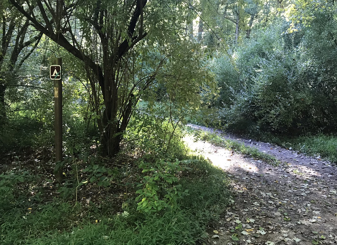
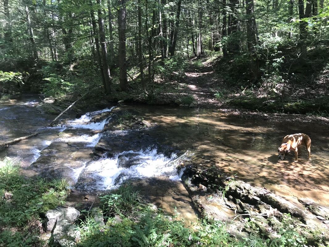
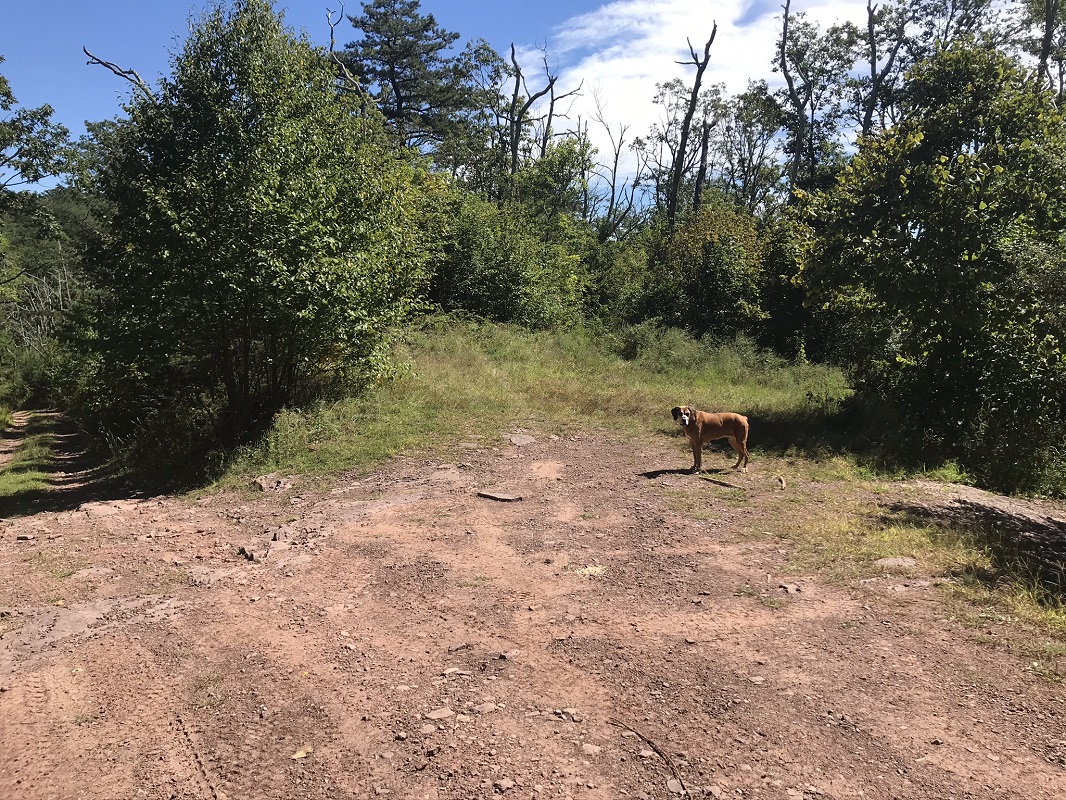
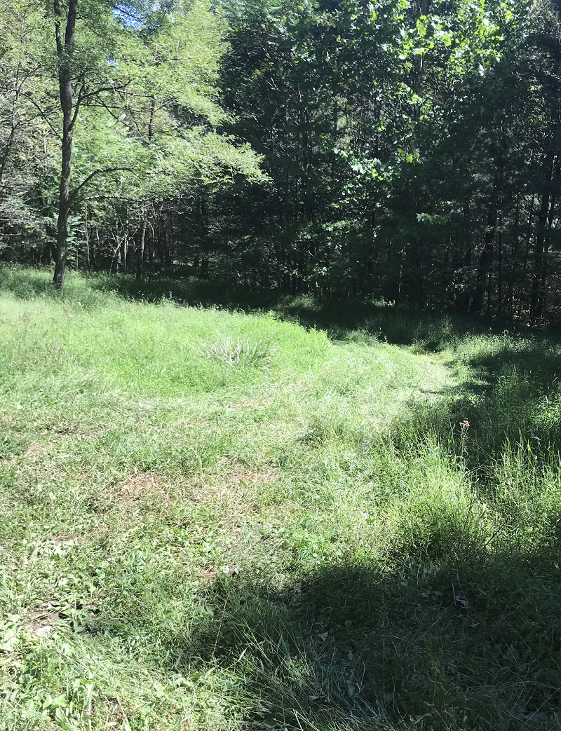
Mile 7.4 – Just after crossing Slate Lick Branch, look to the right for a small, open, grassy area. The Slate Lick Trail starts here, though there is no sign at the road. You have to walk past the grass to the edge of the woods to find the trail sign. Follow the Slate Lick Trail, blazed occasionally yellow, which slowly descends through stream bottomlands and crosses the stream several times.
-
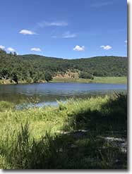
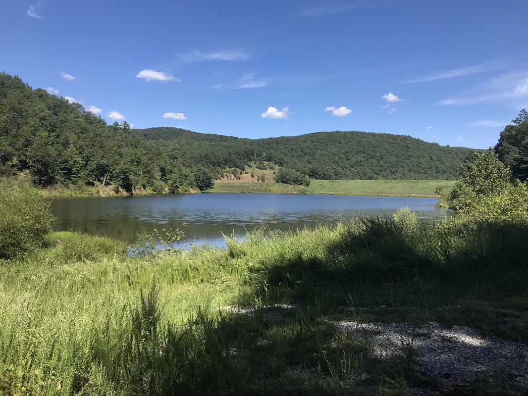
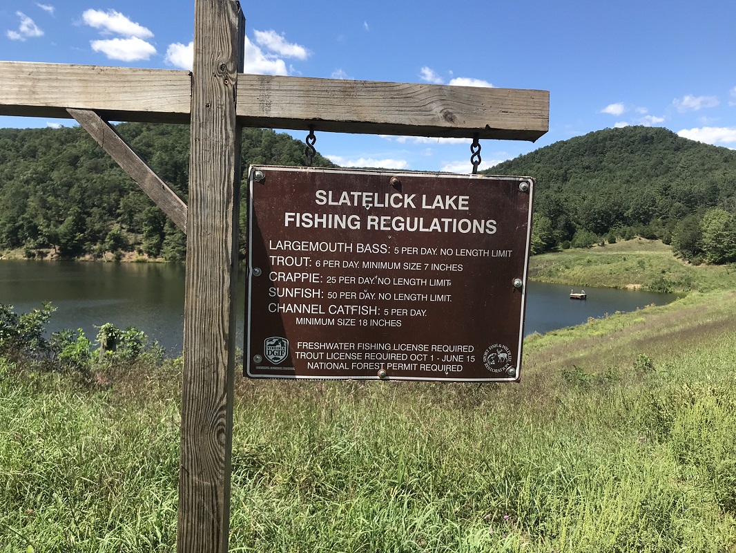
Mile 10.5 – The trail connects to an old gravel road that runs along Slate Lick Lake, a dammed lake that had no one fishing it on an August Saturday afternoon. Follow the road along the south end of the lake, passing over the dam and a sign with fishing regulations.
-
Mile 11.5 – Continue on the road until you return to the parking area, just after a closed gate.
|
|

