| By:
Va_Hiker |
Rating: |
 |
Date of Hike: Saturday, September 7, 2019 |
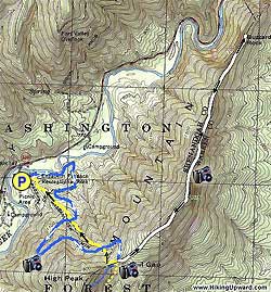
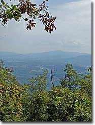
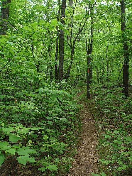
Confirmed that the trail to the left of the bathrooms is the correct path. Misleading signage at the other trailheads so glad I read these posts. We got to the first rock outcropping in 2 hrs. The climb up was narrow but void of other hikers and fairly easy hike. Moderate incline all the way up. The first overlook and rocks are unmarked and past a camping area and out to the west ridgeline about 50 yards. We turned around there and came back. 1.5hrs down and about 6 miles round trip. We almost always see sail planes in that area on the weekends. We saw 4 get carried up above us. Definitely want to come back in the fall and winter to check the views without the leaves.
|
|
| By:
Susan |
Rating: |
|
Date of Hike: Friday, October 19, 2018 |
I took three 8 year olds and we had a great time. Started the trail at 11 am and made the rocks at 1:45. Back at the car by 4. Currently, there is no water on sight, so make sure to bring plenty. Finding the trail was confusing, so follow the pig iron trail to get to the orange and blue blazes ( its behind the bathrooms). We didnt see anyone else on the trail- only butterflies at the top.
|
|
| By:
Don |
Rating: |
|
Date of Hike: Monday, September 4, 2017 |
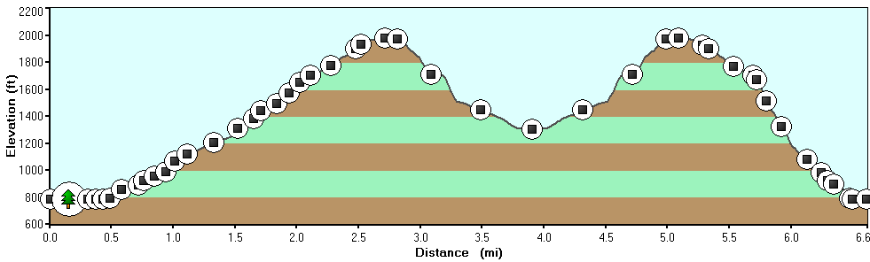
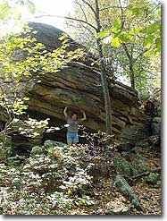
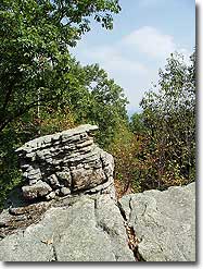
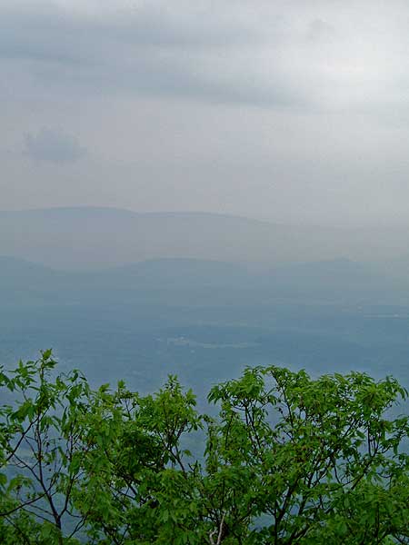
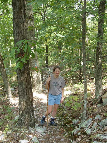
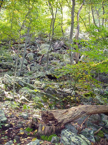
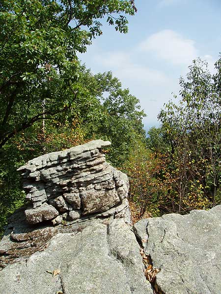
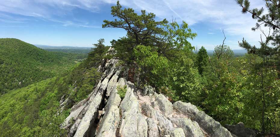
We had a great hike. It was hot and we took our time with lots of stops at the views. 6 hours and 40 minutes round-trip. It was definitely confusing at the bottom trying to find the trail head. The easiest thing to do is just pick up the orange-blue trail at the marked trailhead on the left immediately after the bridge leading into the parking lot. Also many hungry mosquitoes at the bottom today. The trail heading up the ridge is pretty easy. The ridge top trail is the tough part. Lots of up-and-down and rocky. The photos shown don't do justice the amazing views. Once you are along the ridge, there are fantastic views looking south down Fort Valley. The most interesting part of the hike is furthest along when you get close to the turnaround point at the overlook. That part has hundred-foot-high sheets of rock and give more great views. I'd like to come back in November.
|
|
| By:
HikingUpwardFan |
Rating: |
 |
Date of Hike: Saturday, March 18, 2017 |
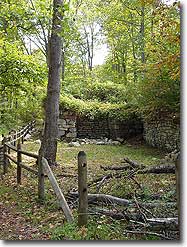
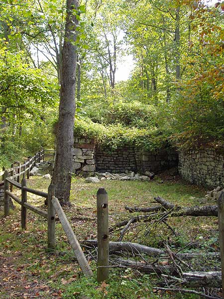
Good hike overall. Good views and decent difficulty. The furnace itself isn't much to look at as compared to Van Buren but there are a lot of educational plaques around that make up the difference if you are interested in the history and workings of the furnace.
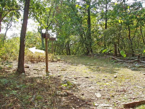
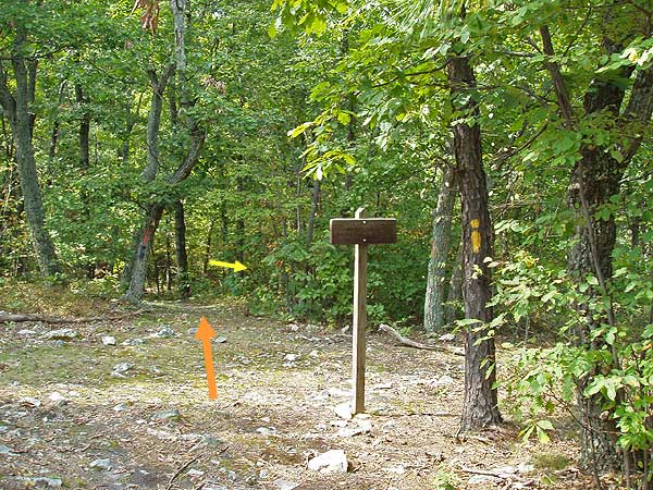
One note to hikers using the written directions that are on page two of the .pdf map provided on the website. The directions are pretty good with the exception of how to get to the trail-head from the parking lot. The directions even indicate that it's a little tricky and then proceed to confuse the situation even further with vague and frankly, wrong directions.
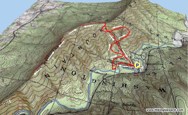
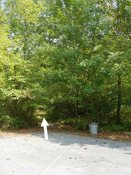
Here is how to get to the furnace from the parking lot: First of all, it is a two section parking lot divided by a concrete bridge that spans Passage creek. For better access to the start of this hike, drive across Passage creek on the bridge into the second (and larger) section of the parking lot and park near the restrooms. About 20 feet away from the restrooms (to the left if you are facing it) is a sign marked "furnace trails". There are three or four trails that go off in different directions. Take the left-most path that keeps you closest to Passage creek and follow it less than a quarter mile until you reach the furnace. From the furnace you can start following the page two write-up accompanying the map and it is accurate from then on.
Enjoy !!
|
|
| By:
Lauren |
Rating: |
 |
Date of Hike: Saturday, June 18, 2016 |
Good workout climbing uphill on the blue/orange trail. Went up 10:30am after staying in the camp over night. Hardly a person on the trail. It's a great overlook and a steep, quick descent. It's a good go-to and nearby to DC. I'm pretty slow paced and it took 2 hours up and 1 hour down with 30 min lunch.
|
|
| By:
Ryan |
Rating: |
|
Date of Hike: Sunday, May 24, 2015 |
Great experience for my first official "hike." Really enjoyed the lack of many people around and took advantage of the quietude! My hiking partner and I found it really challenging toward the top of Buzzard Rock, but that was a good challenge!
|
|
| By:
Greg |
Rating: |
|
Date of Hike: Friday, November 28, 2014 |
We really enjoyed this hike. There was about 6 inches of recent snow on the ground, which I loved--especially on the direct route down. This last part of the hike seems to no longer be a maintained trail, but it was still a blast to run down in the snow. Nice views and close to NoVa. I liked it better than most of the hikes along Fort Valley Road. We will definitely be back.
|
|
| By:
Mark Forrest |
Rating: |
|
Date of Hike: Sunday, April 13, 2014 |
This is an awesome hike. The view is fantastic from Buzzard's Rock, as you peer almost straight down 800-900 feet. The wind blows strong and the trees are bent. There are several camping places further up the trail for those who want to make this an overnight trip. No water on the top of the mountain though. I highly recommend. I will be back with friends. I liked it that much.
|
|
| By:
Melissa & Rob |
Rating: |
|
Date of Hike: Saturday, December 21, 2013 |
My husband, my sister and I really enjoyed this trail. There weren't a lot of people here, so our dogs could walk off leash, there was still lots of snow even though temperatures were in the 70 degree range, and there were some awesome views.
|
|
| By:
Athryn |
Rating: |
|
Date of Hike: Wednesday, January 2, 2013 |
For future hiker reference, the trail from the parking lot is on the Northeast side, and it follows the Pig Iron interpretative trail to Elizabeth Furnace itself.
Decent hike, although I was possibly of unsound mind to do it in the middle of the winter -- I saw campers along the way though!
|
|
 View all 20 archived reviews for the Buzzard Rock hike
|


