|
| Length |
Difficulty |
Streams |
Views |
Solitude |
Camping |
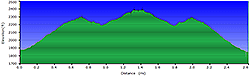
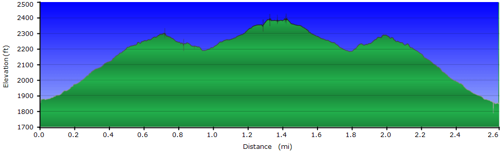
| 2.6 mls |
 |
N/A |
 |
 |
N/A |
Hiking
Time:
Elev. Gain:
Links:
Resources: |
2.0 hours including breaks
905 ft
 George
Washington National Forest George
Washington National Forest
Topo Hike Trails Map (PDF)
Edinburg, VA Weather Forecast
Garmin (GDB), Gaia/Trails App (GPX) (What's
this?)
3D
View of Route |
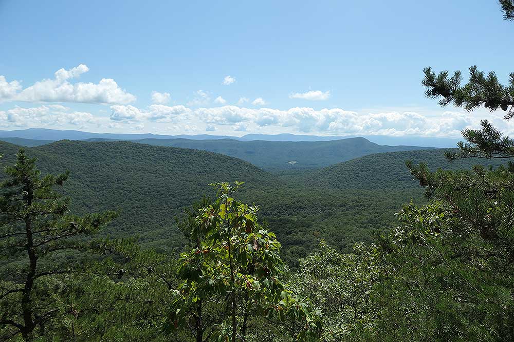
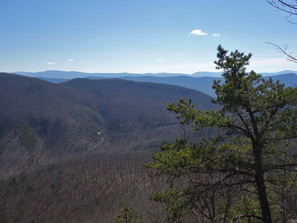
 Copernicus Ridge features four beautiful overlooks and is one of the lesser-known hikes in the Massanutten. An easy out-and-back hike, this 2.6 mile ridgeline trek offers sweeping views across both the Massanutten and Shenandoah ranges.
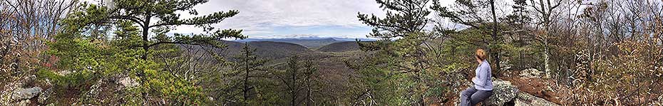
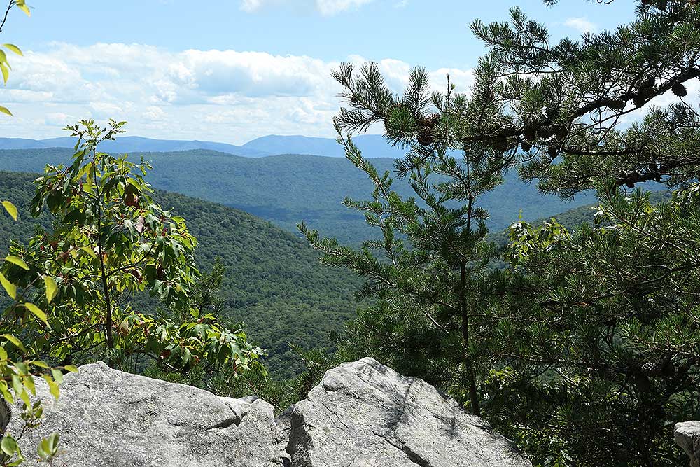
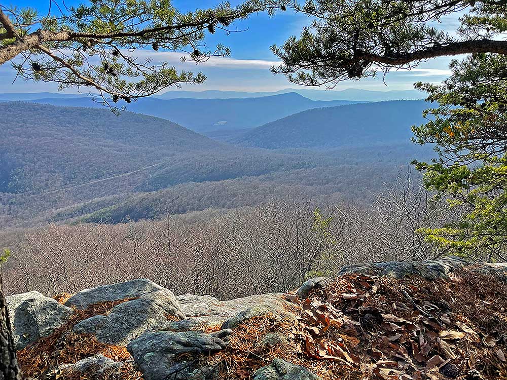
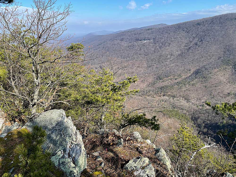
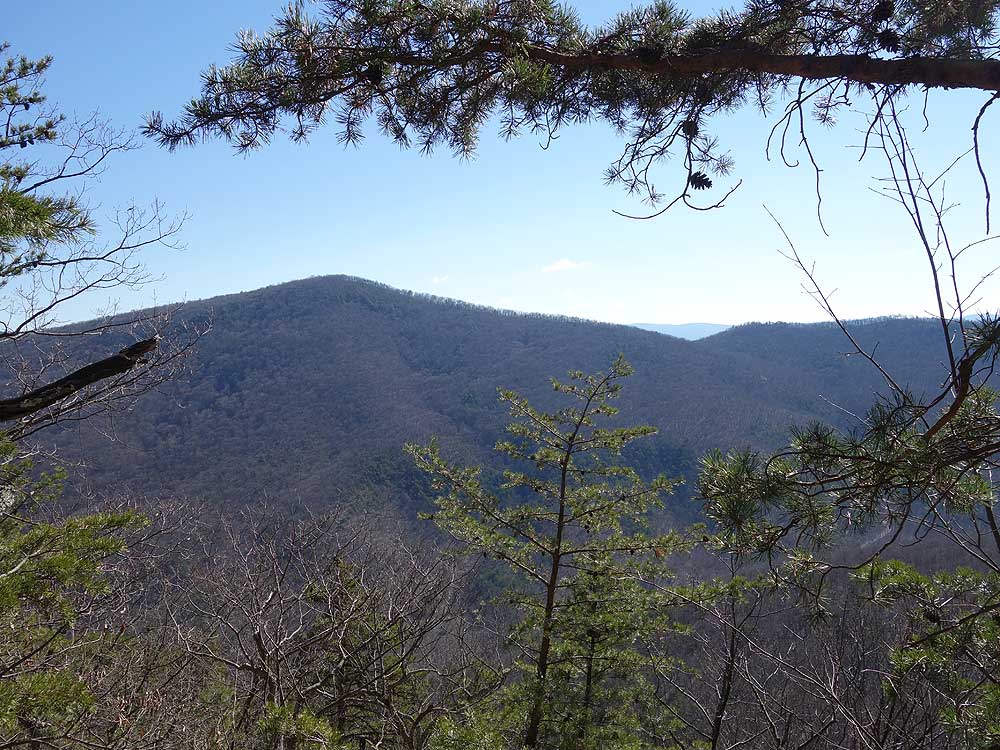
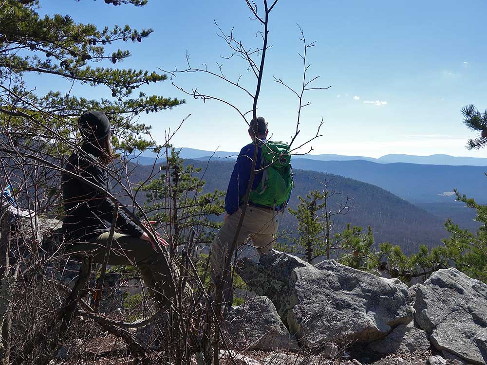
The views from Copernicus Ridge are expansive as you look down towards Edinburg Gap, Powell Mountain, and Kennedy Peak. The ridge also has multiple vista points to explore. Copernicus Ridge features four beautiful overlooks and is one of the lesser-known hikes in the Massanutten. An easy out-and-back hike, this 2.6 mile ridgeline trek offers sweeping views across both the Massanutten and Shenandoah ranges.
The views from Copernicus Ridge are expansive as you look down towards Edinburg Gap, Powell Mountain, and Kennedy Peak. The ridge also has multiple vista points to explore.
Although this is only a 2.6 mile hike a nice way to spend the day is to hike up to the overlook, then afterwards head into Woodstock to the family friendly Woodstock Brewery that offers excellent beer, homemade root beer, and tasty BBQ.
-
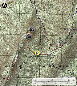
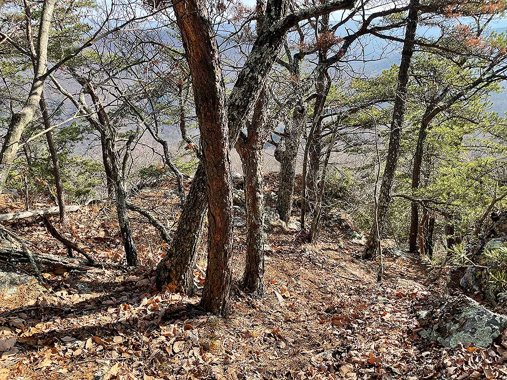
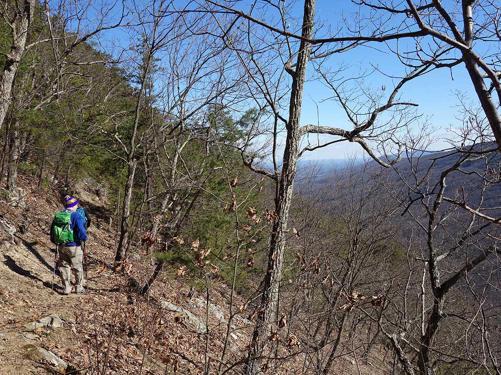
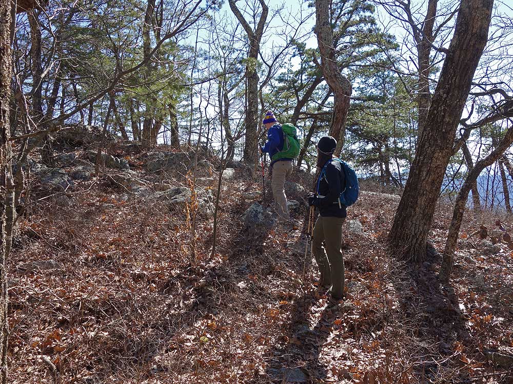
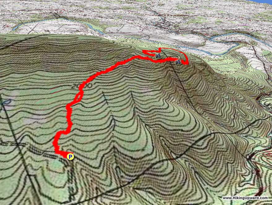
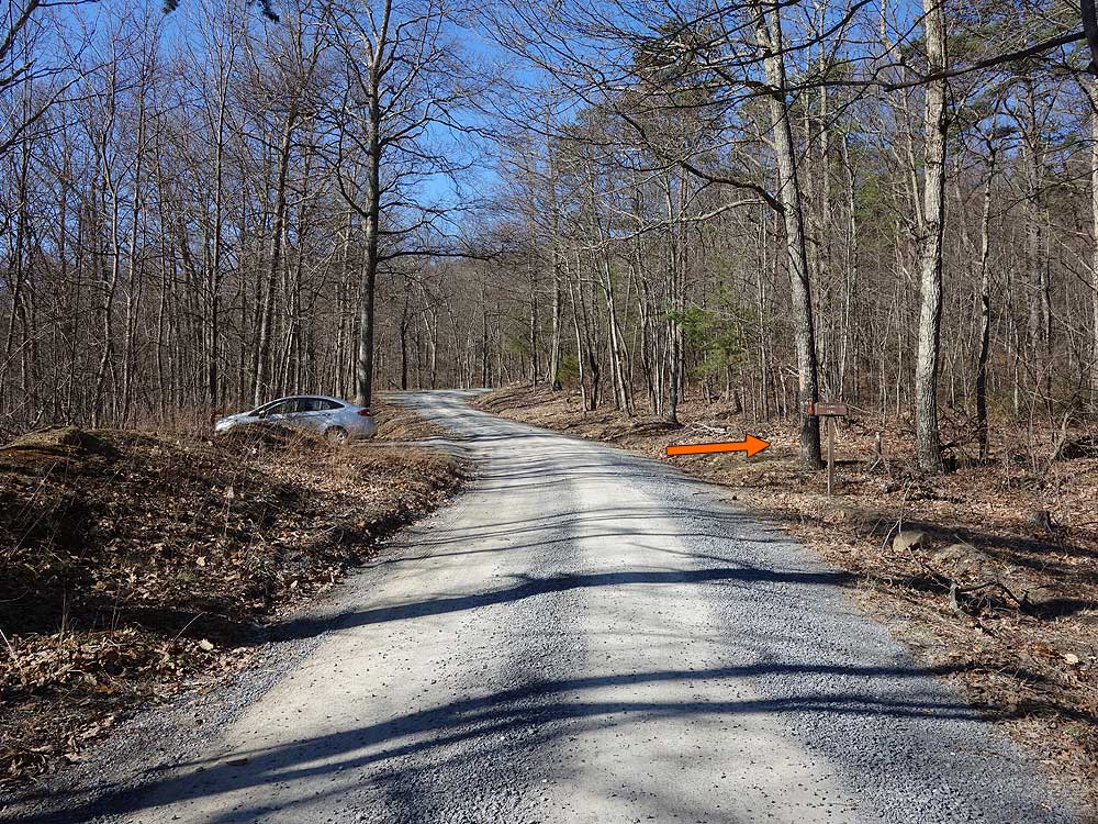
Mile 0.0 - From the parking area on FR374 start up the orange blazed Massanutten Trail into the woods. The trail gradually becomes more steep as it winds around the eastern side of the ridge.
-
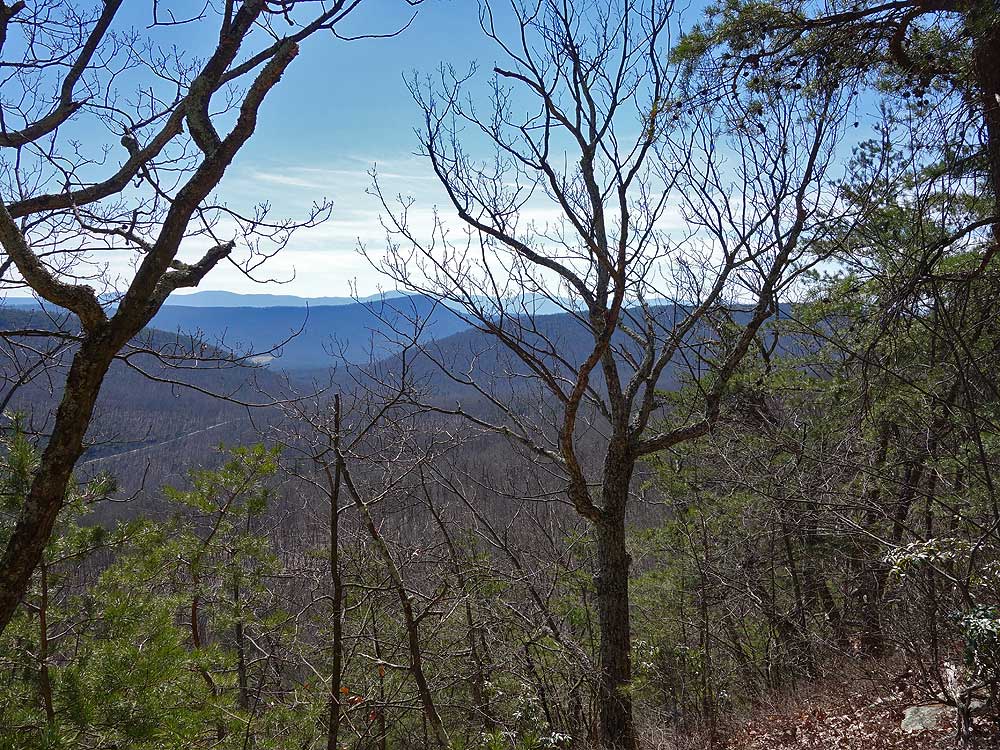
Mile 0.8 - Pass several nice views through Edinburg Gap to the east of Powell Mountain and Kennedy Peak. If you're hiking when the leaves are off the trees you'll also get views to the north towards Woodstock. As the Massanutten Trail winds around ridge pass a rock outcrop and turn to the south through a saddle. Continue up towards the eastern ridge.
-
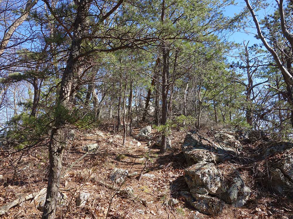
Mile 1.2 - Just before cresting the ridge look for a faint unmarked trail on the left and rock cairn. Turn left towards Copernicus Ridge here.
-
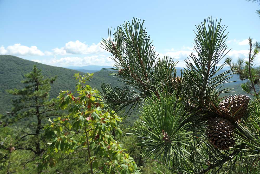
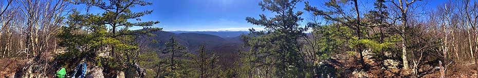
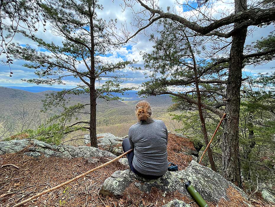
Mile 1.3 - There are 4 separate overlook areas on the ridge.
First Overlook -
25 yards up the unblazed trail is a partially obscured view to the east.
Second Overlook - At the ridge high point there is a view east through Edinburg Gap and of Kennedy Peak.
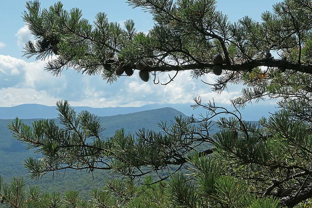
Third Overlook (best) -
20 yards past the second overlook there is a faint trail that leads 30 yards down to a view through two pine trees. If you venture out on the rock just below the vista enjoy a more expansive view of the Massanutten Range and Shenandoah National Park.
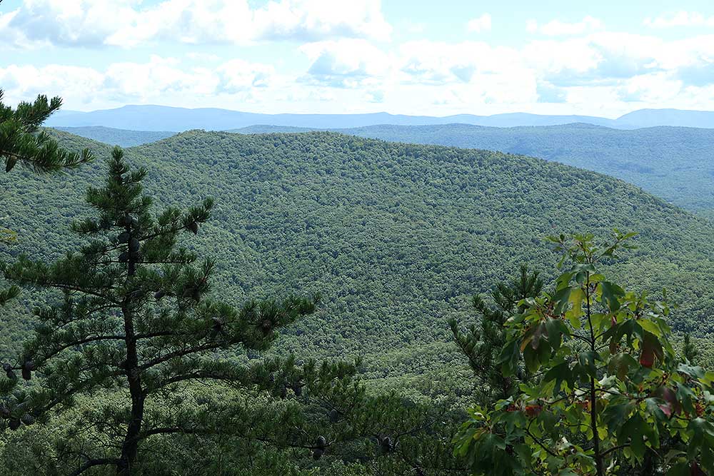
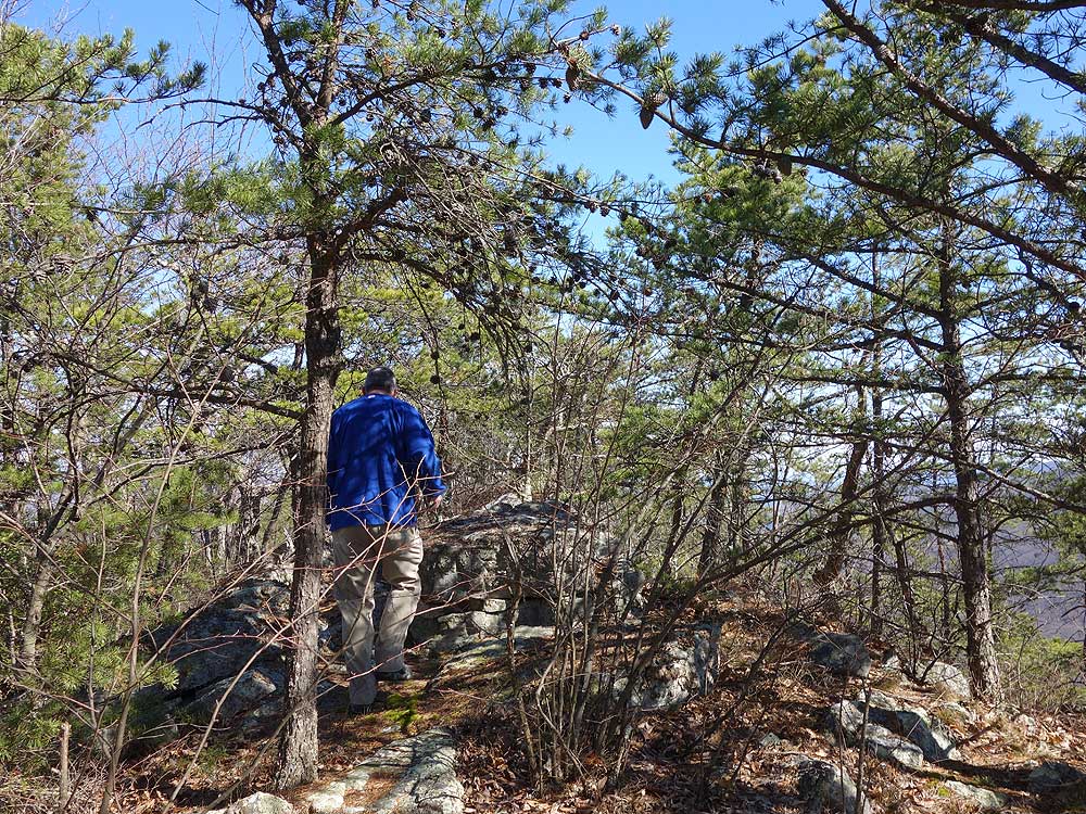
Fourth Overlook - Continue along the ridge for another 40 yards where the ridge begins to descend. This spot provides a nice view north of Powell Mountain.
-
Mile 2.6 - Retrace your route and arrive back at the parking area.
|


