|
| Length |
Difficulty |
Streams |
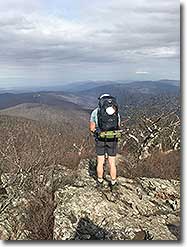
Views |
Solitude |
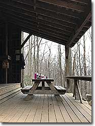
Camping |
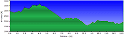
| 15.3 mls |
 |
|
 |
|
 |
Hiking
Time:
Elev. Gain:
Links:
Resources: |
2 Day Point-to-Point Shuttle Hike
2,560 ft
 George
Washington National Forest George
Washington National Forest
Topo Hike Trails Map (PDF)
Waynesboro, VA Weather Forecast
Garmin (GDB), Gaia/Trails App (GPX) (What's
this?)
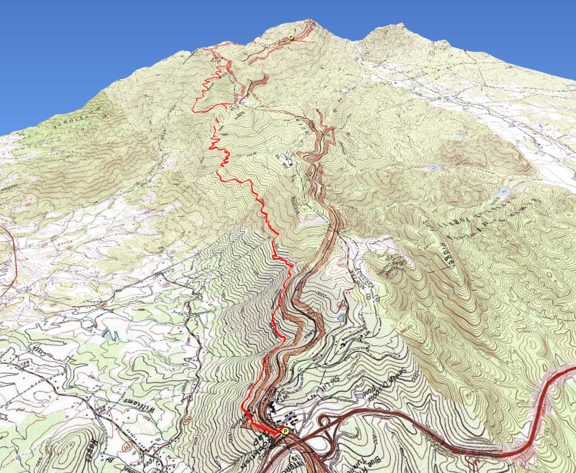
3D
View of Route |
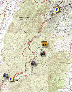
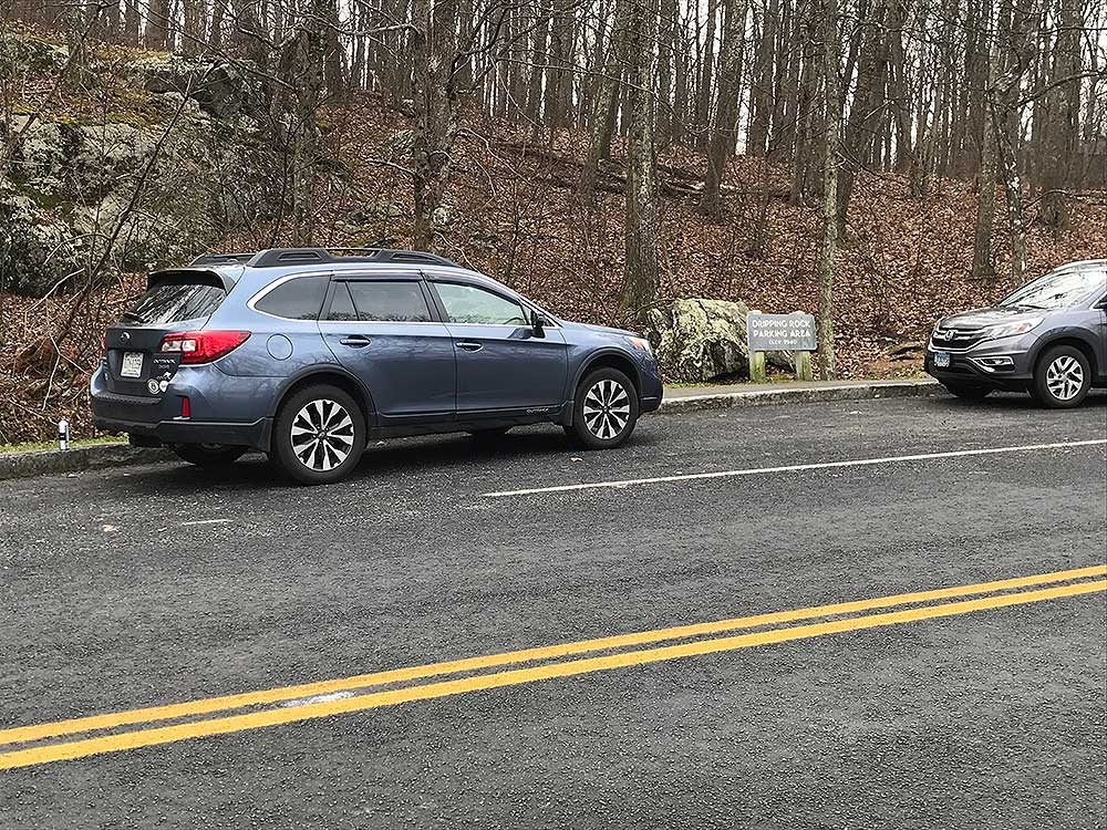
 This portion of the Appalachian Trail in the northern most section of the Blue Ridge Parkway is one of our favorite shuttle hikes. There are multiple great view points, some climbs, lots of elevation loss, gentle flat stretches, an old homestead, a cemetery and plentiful campsites near the spacious Paul Wolfe Shelter. Park one car at Afton Mountain (Rockfish Gap) and then drive south on the Blue Ridge Parkway to the small Dripping Rock Pullover at Milepost 9.6. This portion of the Appalachian Trail in the northern most section of the Blue Ridge Parkway is one of our favorite shuttle hikes. There are multiple great view points, some climbs, lots of elevation loss, gentle flat stretches, an old homestead, a cemetery and plentiful campsites near the spacious Paul Wolfe Shelter. Park one car at Afton Mountain (Rockfish Gap) and then drive south on the Blue Ridge Parkway to the small Dripping Rock Pullover at Milepost 9.6.
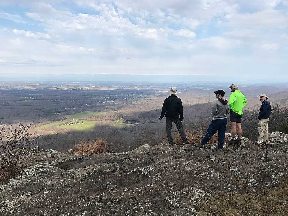
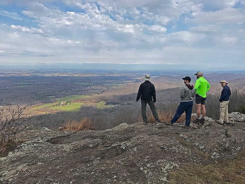
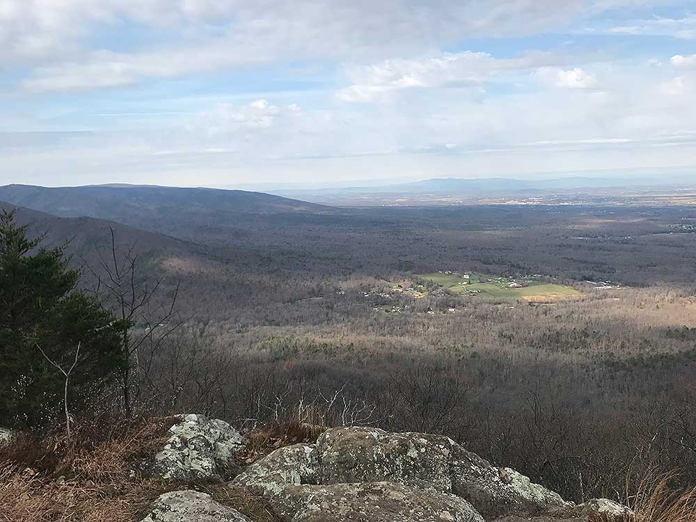
The hike begins at the Dripping Rock Pullover but instead of heading North on the AT towards Rockfish Gap, leave your packs in the car, cross the Blue Ridge Parkway and head south on the AT for 1/2 mile to Cedar Cliffs for one of the best unobstructed views of the Shenandoah Valley.
Day 1 - 10.4 miles
- Mile 0.0 (2959') - Park at Dripping Rock Pullover, cross the Blue Ridge Parkway and head south on the AT.
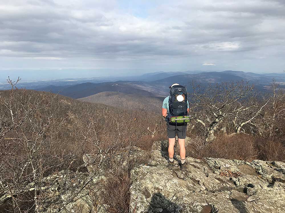
- Mile 0.5 (2836') - Arrive at Cedar Cliffs and enjoy the incredible views of the Shenandoah Valley to the west. Return to Dripping Rock Pullover.
- Mile 1.0 (2959') - Dripping Rock Pullover, pick up your packs then head north on the AT. Note: The Dripping Rock Spring beside the pullover is the last reliable water source until you reach the Paul Wolfe Shelter.
- Mile 1.9 (3301') - You will notice some Wintergreen Resort homes on your right as you begin a steady climb before arriving at the intersection of an unnamed blue spur trail on the right with a nice view.
- Mile 2.4 (3224') - Intersection for Spur Trail to Humpback Rocks Picnic Area.
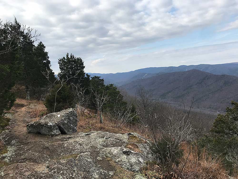
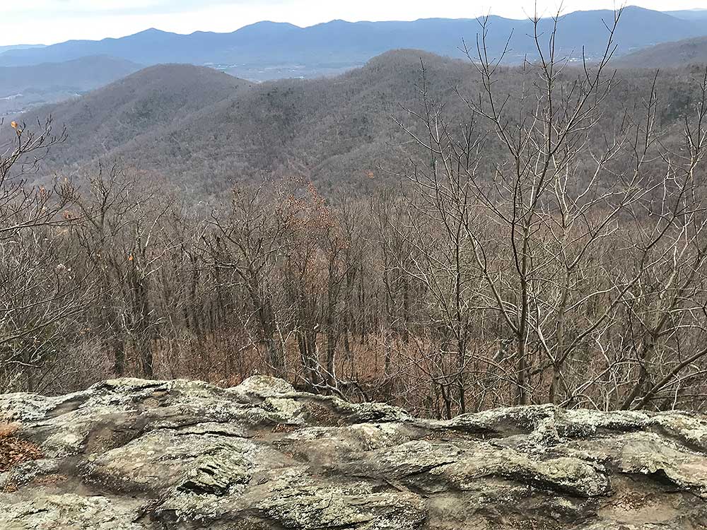
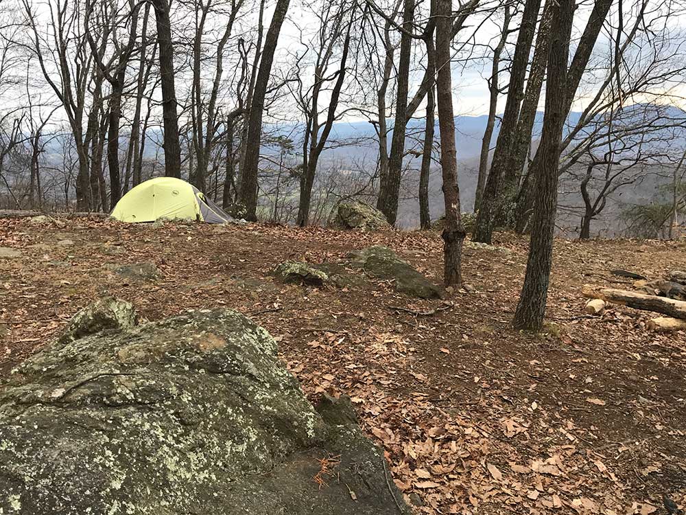
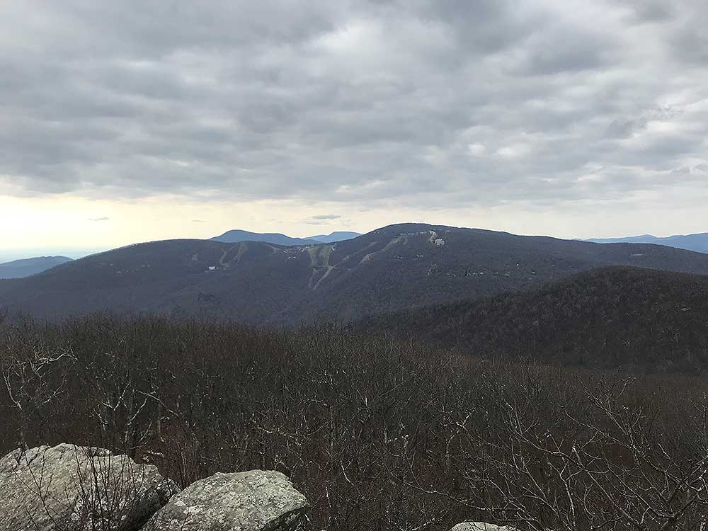
- Mile 3.0 (3545') - Continue north on the AT and in 0.6 miles reach an overlook with views of the Wintergreen Ski Resort to the Southwest. Approximately 100 yards from the overlook is a nice campsite, there is no water source.
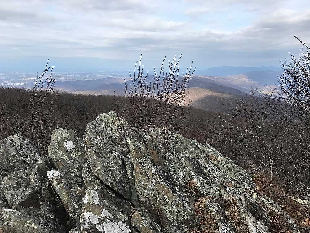
- Mile 4.0 (3650') - The next mile is fairly flat and uneventful, a gentle walk in the woods until you reach the next overlook with views north towards Shenandoah National Park.
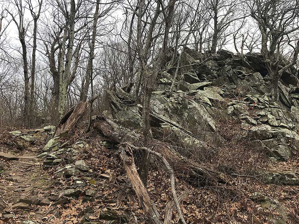
- Mile 4.6 (3451') - There will be a faint unmarked trail on the right in 0.6 miles from the last overlook, just before the trail begins a steeper descent. The unmarked trail leads to a steep spine cliff similar to Humpback Rocks, smaller but with incredible views, about 80 yards in from the AT.
- Mile 5.0 (3284') - Reach the intersection with the Humpback Rocks Blue Blazed Spur Trail. If you have never been to Humpback Rocks this is a worthwhile side trip, 0.2 miles. Otherwise bear right and continue your descent on the AT heading North.
- Mile 7.5 (2301') - In 2.5 miles reach the Intersection of the Humpback Rocks Parking Spur Trail after losing 1000' of elevation, traversing multiple switchbacks and walking on part of the Old Howardsville Turnpike. Bear right and stay on the AT.
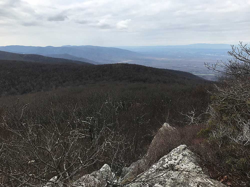
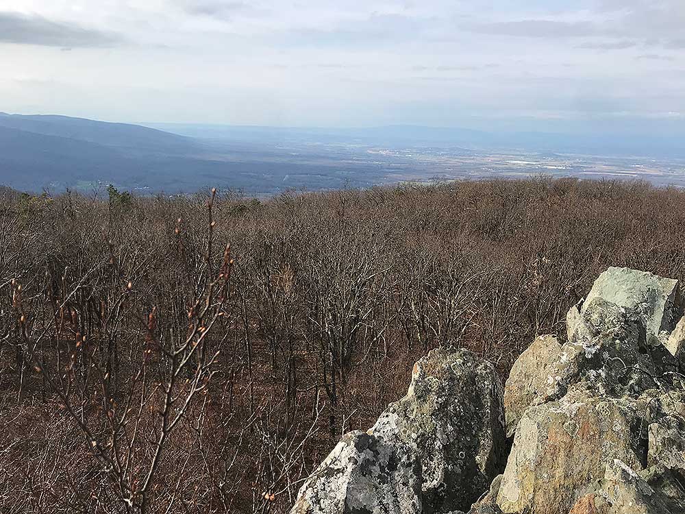
- Mile 8.4 (2289') - Continue on the AT on a fairly flat section and arrive at the intersection of the Glass Hollow Overlook Spur Trail in 0.9 miles. Take a right for a quick out and back.
- Mile 8.5 (2194') - Arrive at the Glass Hollow Overlook for a great view of the Rockfish Valley. There are some good campsites here but once again, no water source.
- Mile 8.6 (2289') - Return to the AT and bear right, heading North gradually descending before reaching the last overlook of the hike in 0.9 miles.
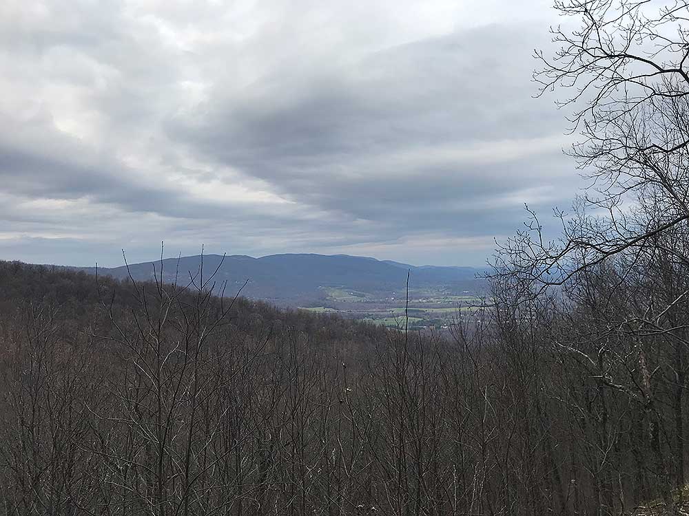
- Mile 9.5 (2014') - Good view north of Elk Mountain and your climb on Day 2. The next 0.9 miles will descend quickly with multiple switchbacks before arriving at Mill Creek.
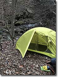
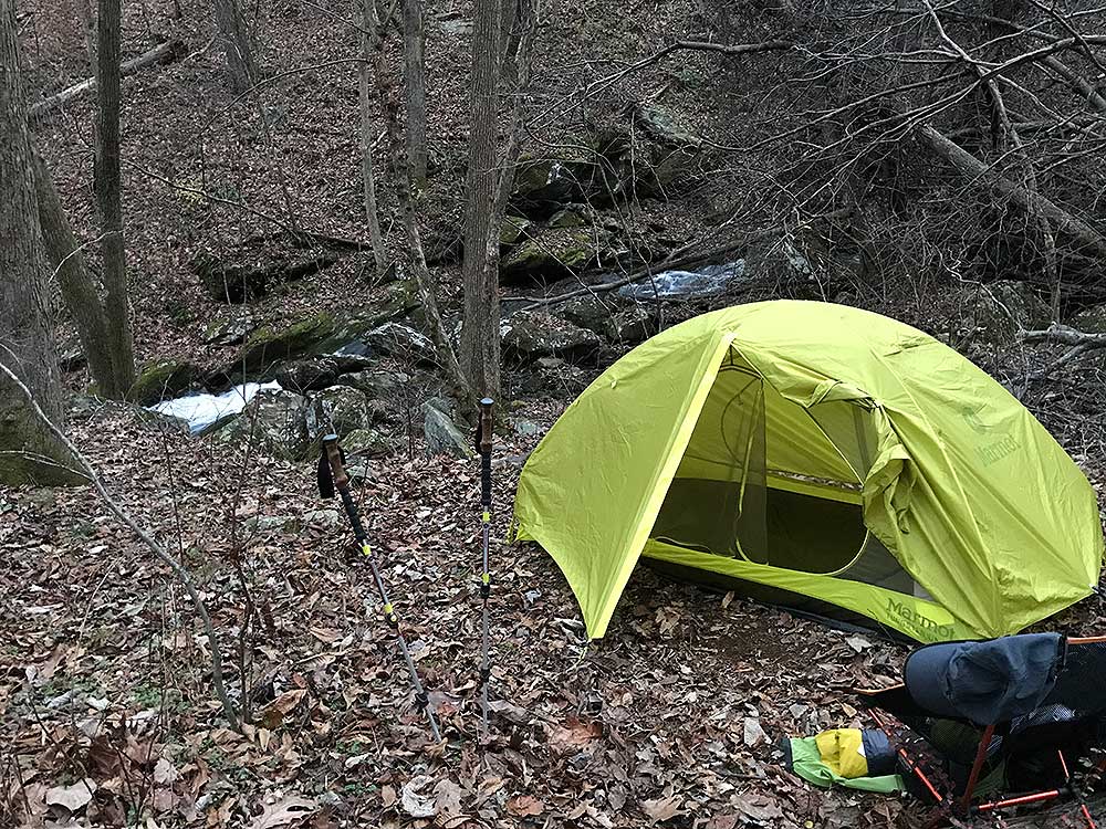
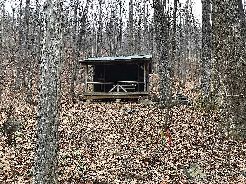
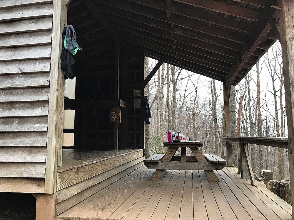
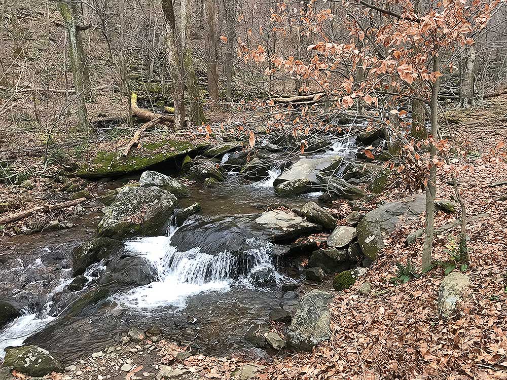
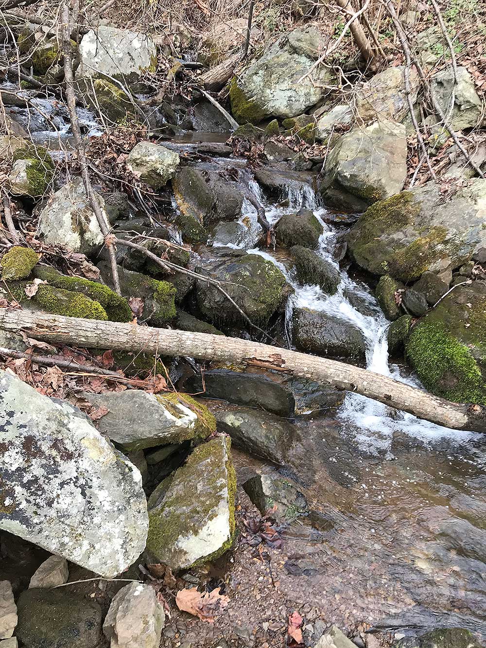
- Mile 10.3 (1538') - Mill Creek, cross creek for numerous campsites and one of the nicest shelters in Virginia, the Paul Wolfe Shelter. This is a popular site for backpackers so you may have to go downstream to find some other campsites on those busy weekends.
Day 2 - 5 miles
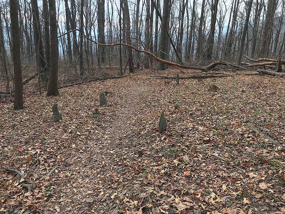
- Mile 10.3 (1538') - Begin Day 2 with a climb of Elk Mountain, 6 well laid out switchbacks will get you to the top and the Lowe Family Cemetery in no time.
- Mile 11.2 (1874') - Lowe Family Cemetery, continue 0.7 miles to the Mayo Homeplace
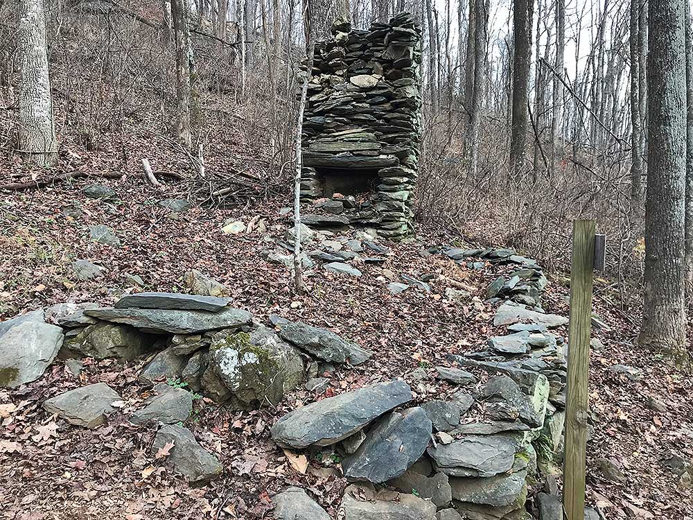
- Mile 11.9 (2068') - Mayo Homeplace. Viewing the Lowe Cemetery and the Mayo Home will surely get you wondering how families from long ago carved out a living in such a remote area. I guess they made them tougher in the day! The next 1.5 miles you will make good time with some partial views of Rockfish Valley before reaching an unnamed Creek.
- Mile 13.4 (1914') - Creek, from this point to the Blue Ridge Parkway is 1.8 miles.
- Mile 15.2 (1935') - Intersection with the Blue Ridge Parkway.
- Mile 15.3 (1921') - Parking lot at Old Howard Johnson's Hotel.
|

