|
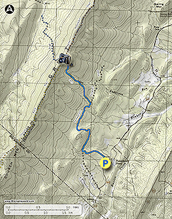
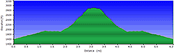
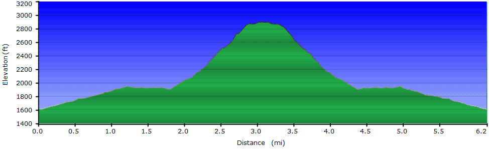
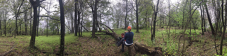
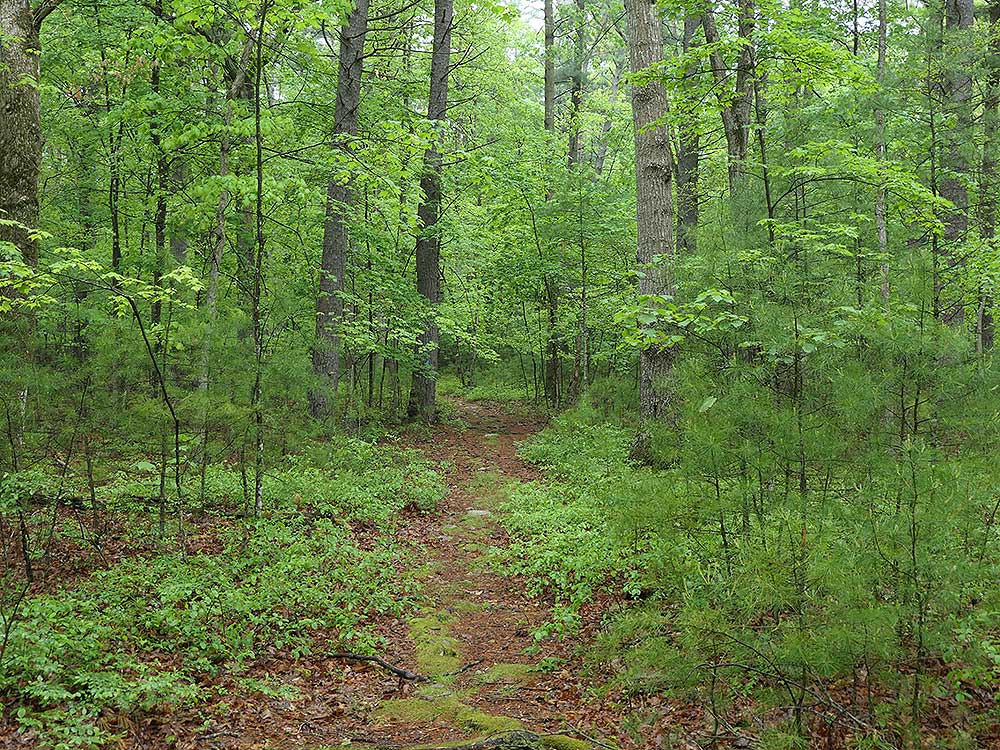
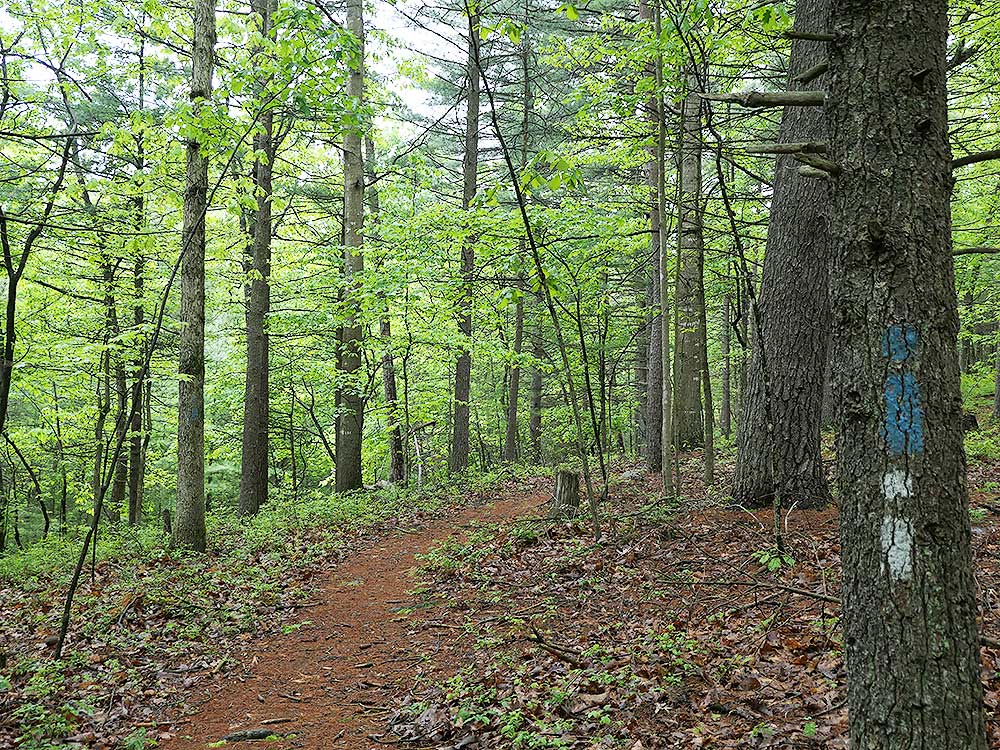
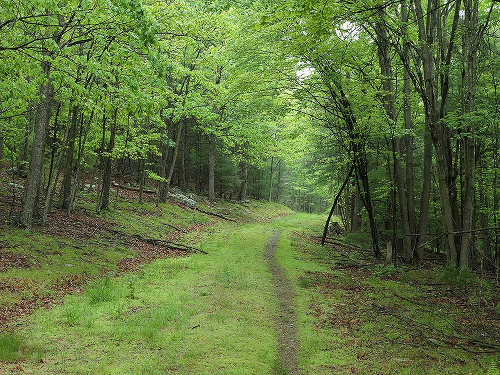
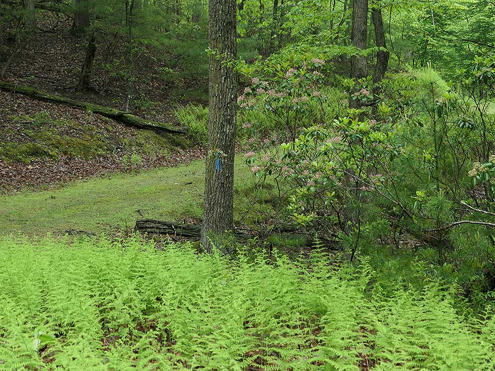
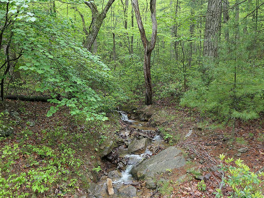
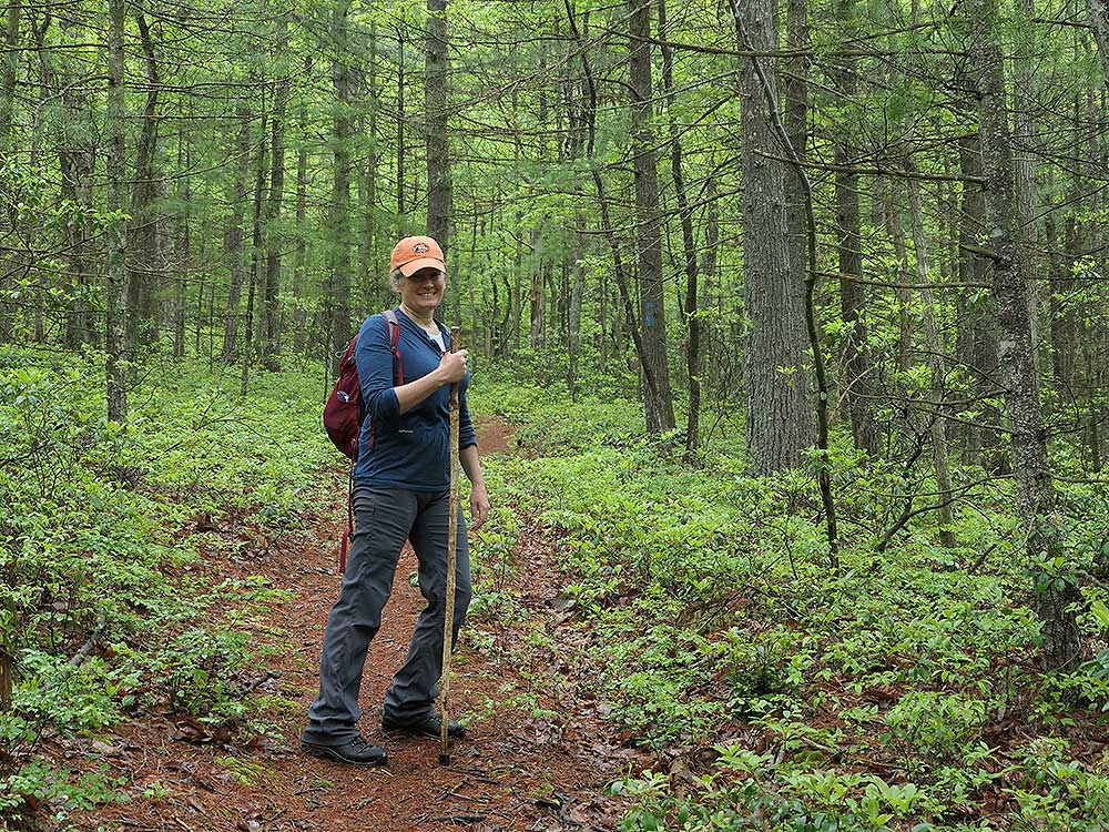
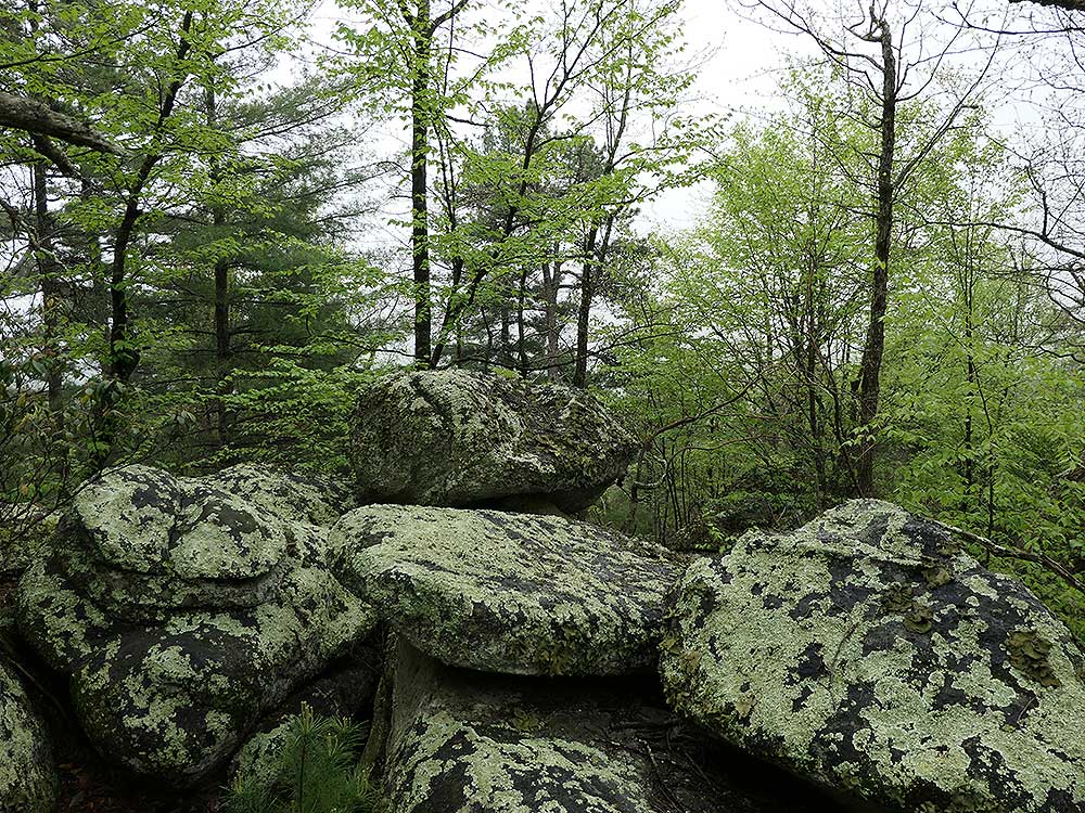
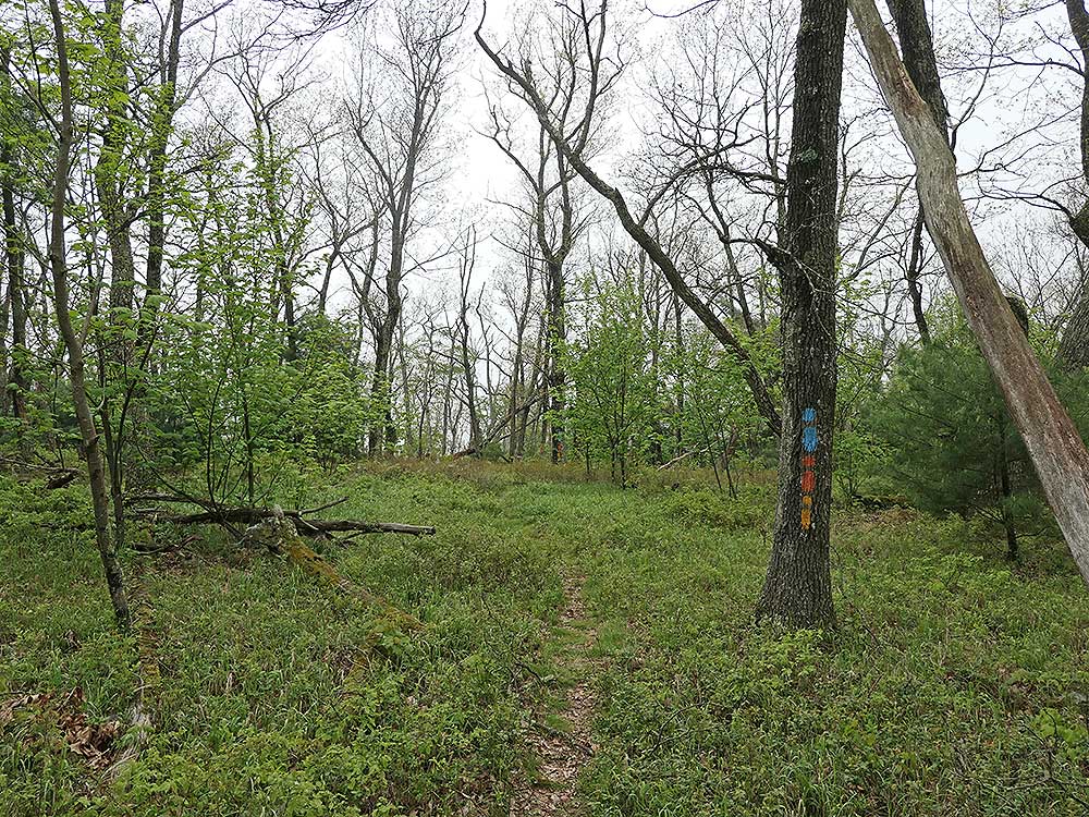
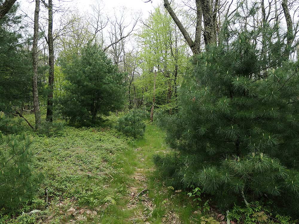
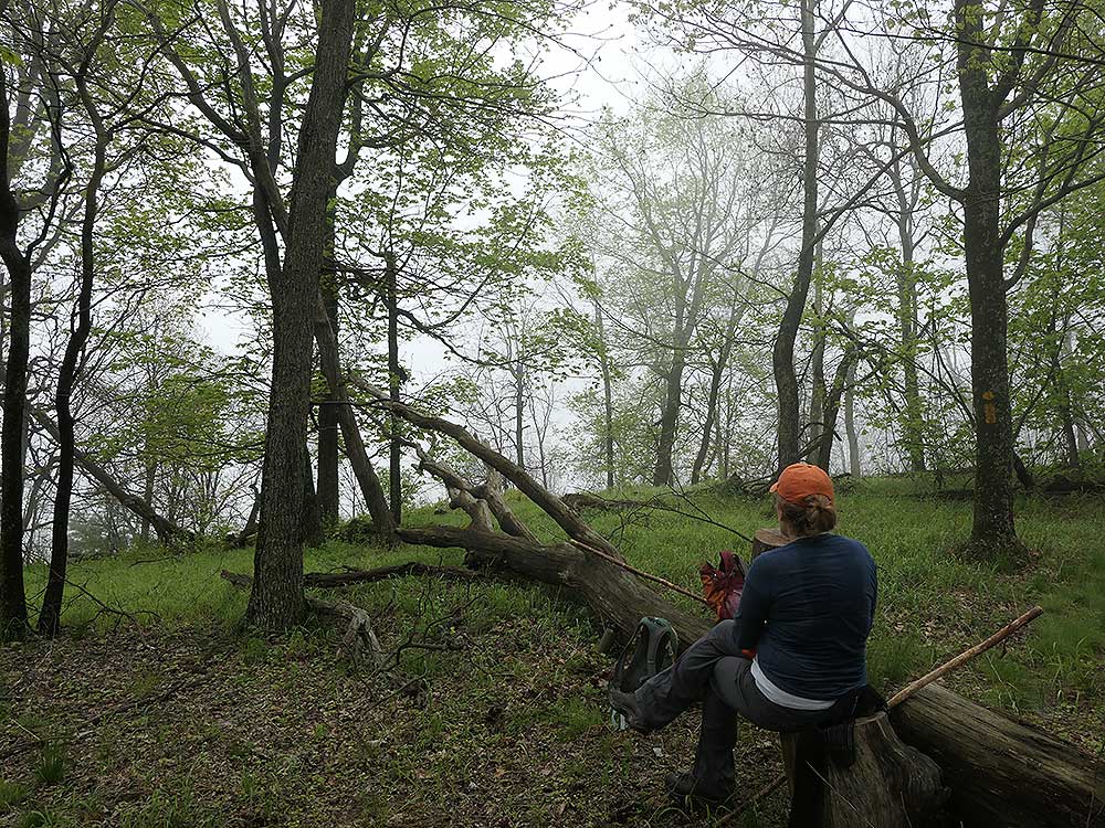
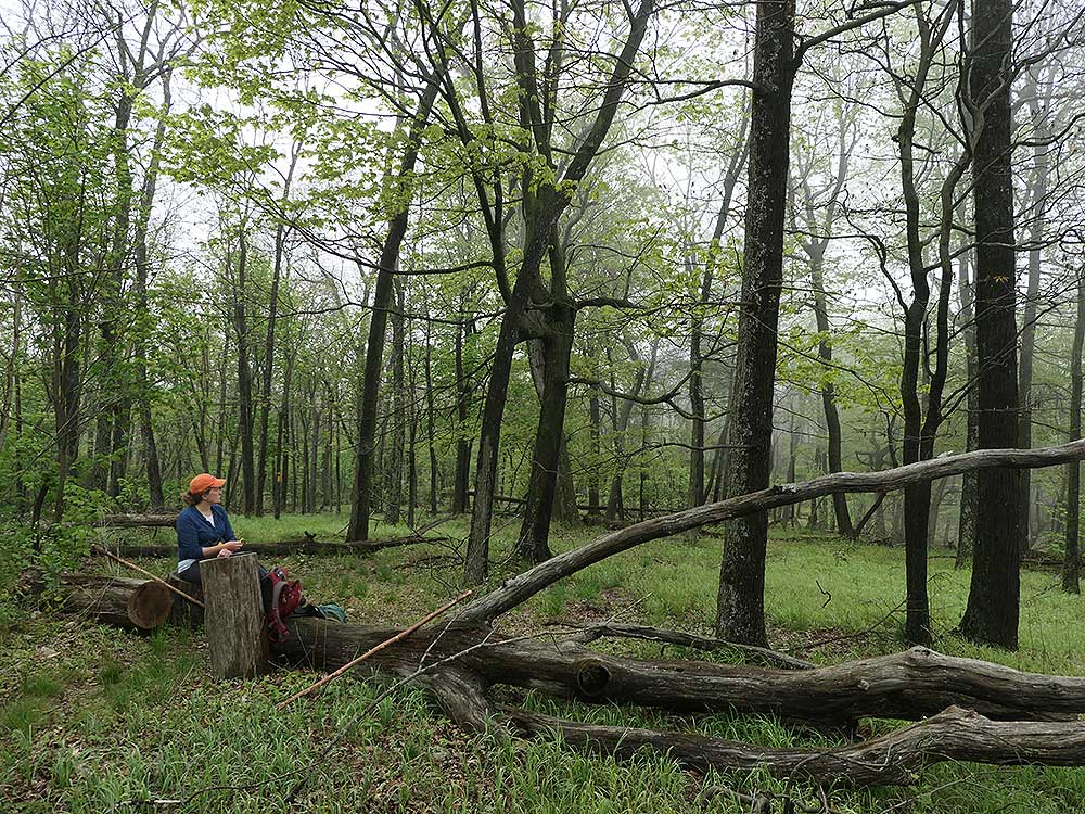
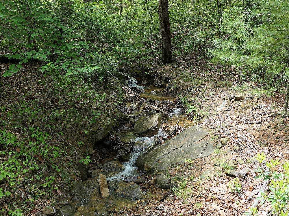
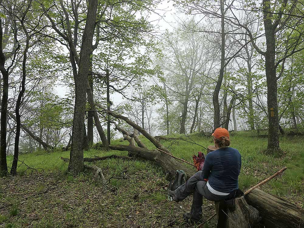
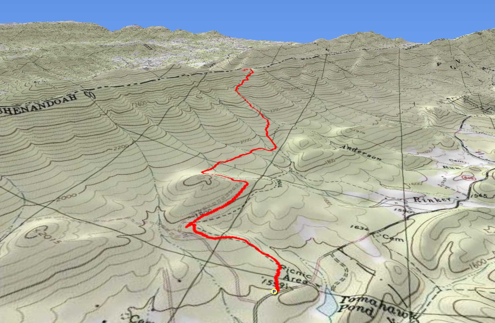
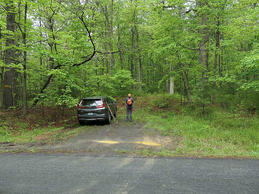
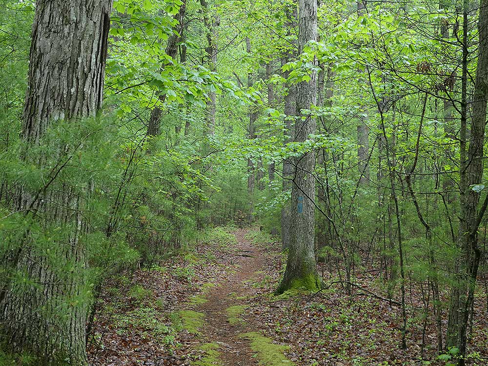
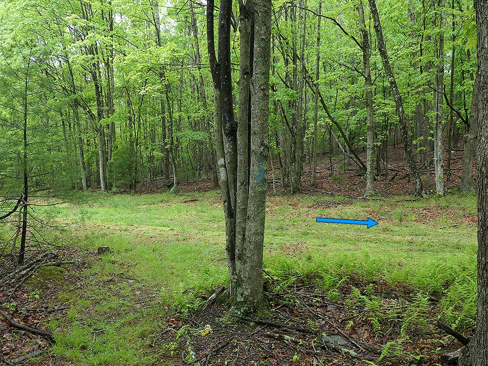
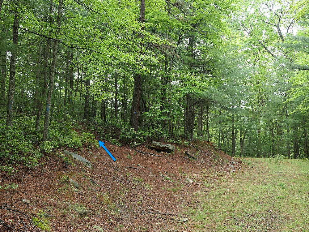
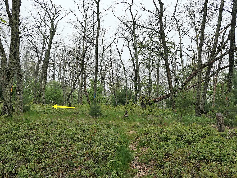
 Just north of Orkney Springs, Virginia, Hunkerson Gap is one of the least visited areas in the Great North Mountain trail system. This out-and-back hike to the gap has two separate sections. The first half, from VA 610 up to and including the walk along the forestry road, has a gentle incline. Once you leave the forestry road, the final 1.2 miles to Hunkerson Gap gets increasingly steep. There are views of the valley higher on the mountain, as well as obscured views through the trees just south of Hunkerson Gap on the Church Rock Trail. Just north of Orkney Springs, Virginia, Hunkerson Gap is one of the least visited areas in the Great North Mountain trail system. This out-and-back hike to the gap has two separate sections. The first half, from VA 610 up to and including the walk along the forestry road, has a gentle incline. Once you leave the forestry road, the final 1.2 miles to Hunkerson Gap gets increasingly steep. There are views of the valley higher on the mountain, as well as obscured views through the trees just south of Hunkerson Gap on the Church Rock Trail.
|
