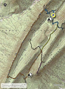
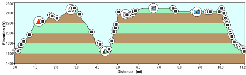
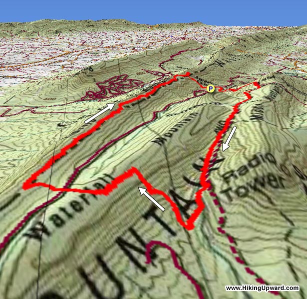
The Kerns Mountain loop is a tough circuit that passes both Duncan Knob, and Strickler Knob. Adding either out/back will make this already long hike just that much more of a challenge. The trail follows Big Run, before making a very steep climb of Waterfall Mountain, then continuing along Kerns Mountain with views to the west and east.
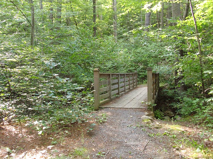
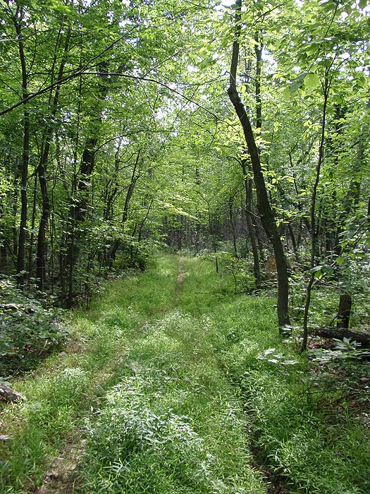
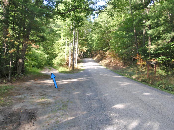
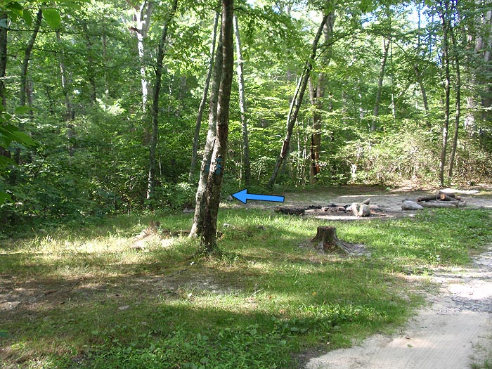
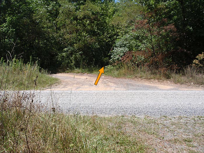
From the parking area at the Jawbone Gap trailhead, walk along Crisman Hollow Rd for 100 yards where the blue blazed Gap Creek Trail veers left on a Forestry Service (FS) road. Follow the trail for 50 yards to the first campsite on the left, turn left through the campsite, cross a small footbridge, then begin the assent towards Duncan Knob.
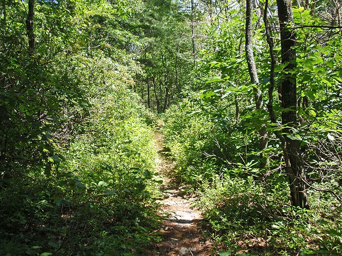
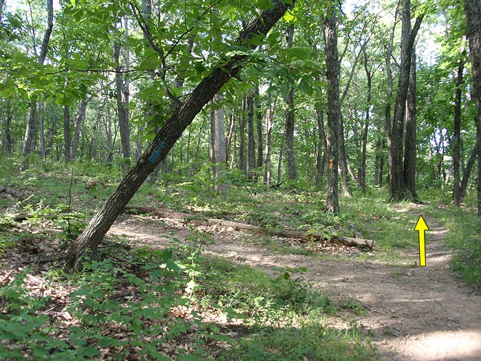
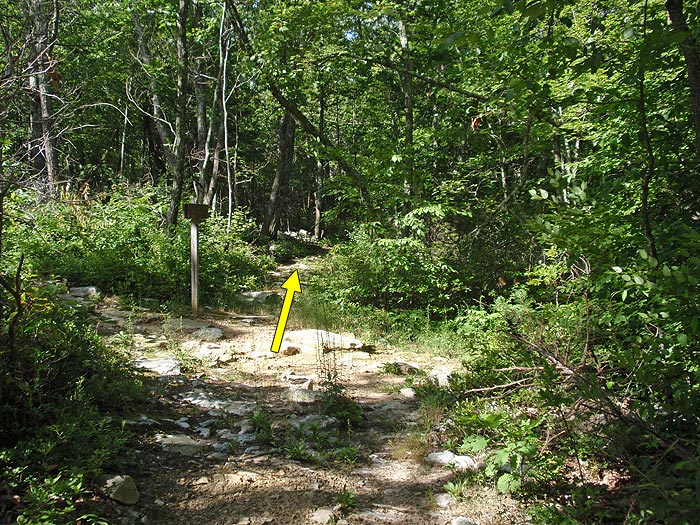
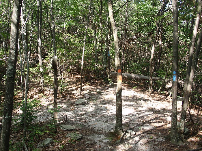
In 1.3 miles, after making several switchbacks, arrive at the intersection of the yellow blazed Scothorn Gap Trail where the blue blazed Gap Creek Trail veers left uphill. Stay straight on the yellow blazed Scothorn Gap Trail as it continues for 1.8 miles to the four way intersection of the orange blazed Massanutten Trail. At this junction, the yellow blazed trail turns right, and the orange blazed trail is directly ahead and turns left uphill.
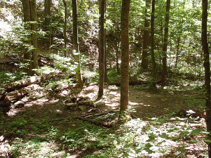
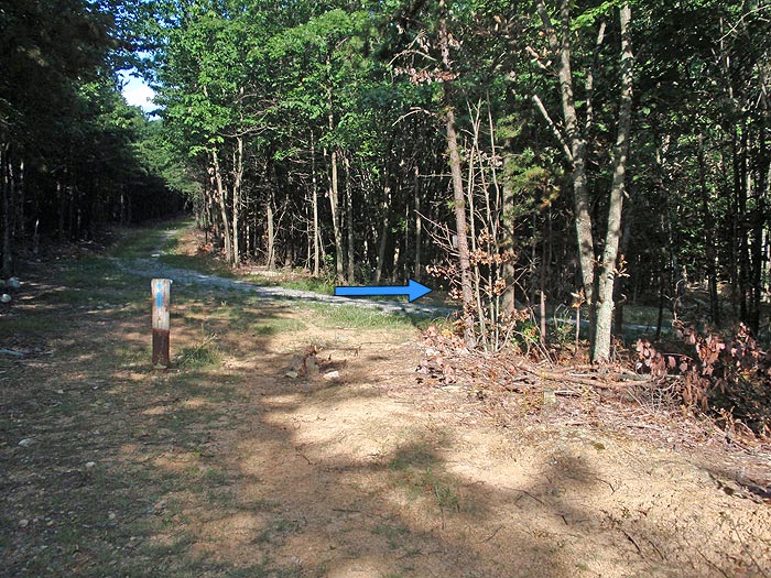
Stay straight on the orange blazed Massanutten Trail as it descends along Big Run. The trail will descend more steeply before crossing the run for the first time, then re-crossing the run and passing a campsite in 1.7 miles. After passing the campsite, continue to follow the trail for 0.1 miles to the intersection of the white blazed Massanutten Connector Trail.
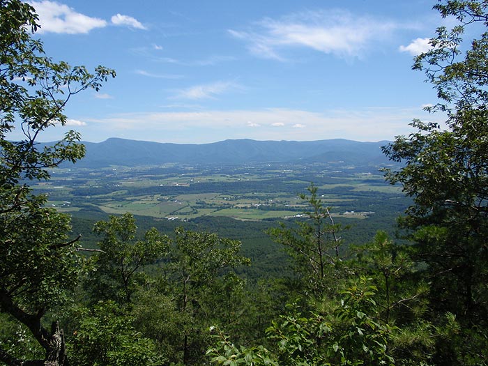
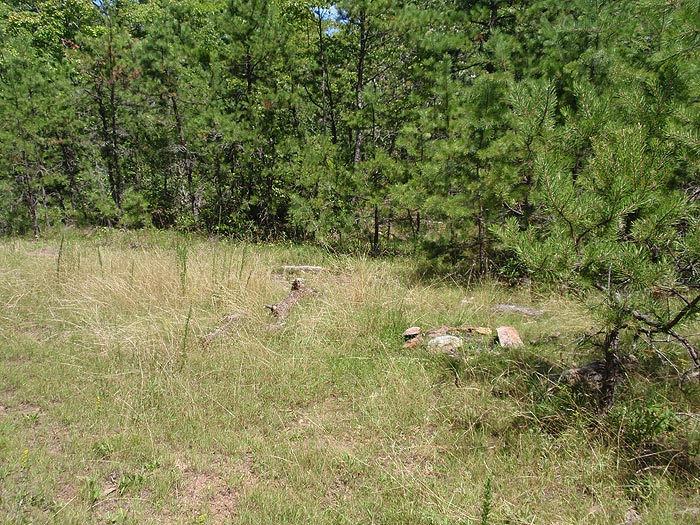
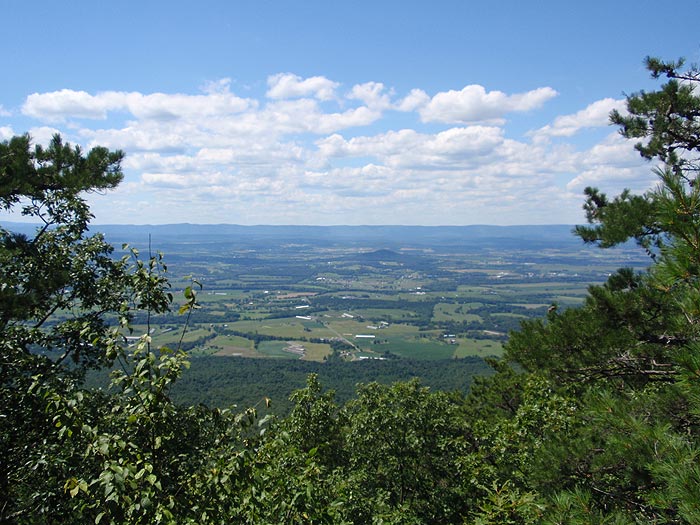
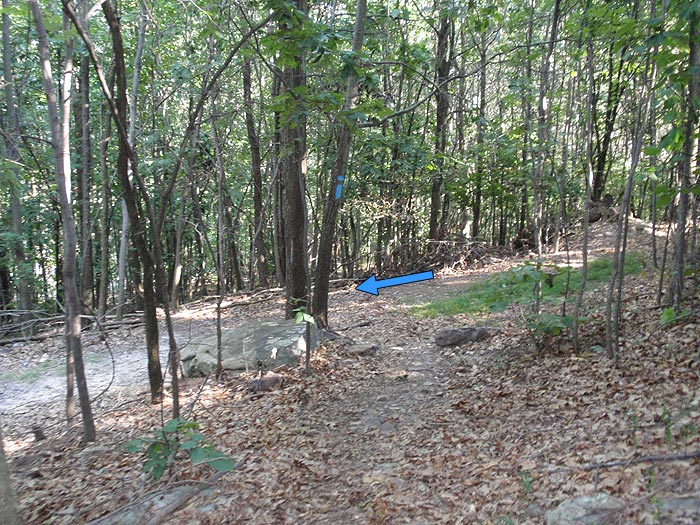
Turn right uphill staying on the orange blazed Massanutten Trail as it very steeply climbs Waterfall Mountain. The trail will make several switchbacks before reaching the ridge in 0.6 miles from the last intersection. At the ridge, the trail will turn left/south and pass a overlook of the valley before heading more westerly and arriving at Crisman Hollow Rd.
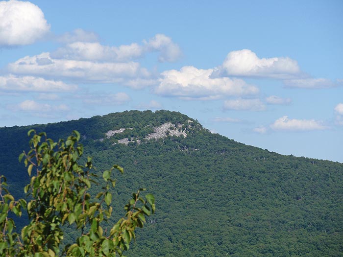
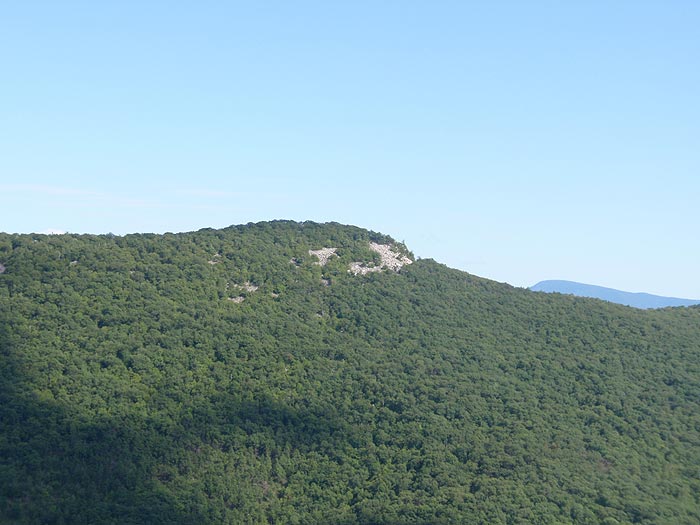
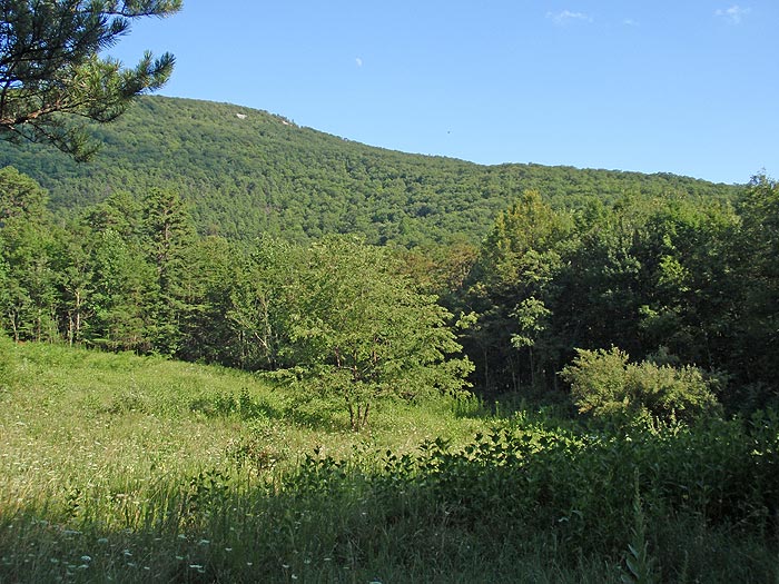
Cross Crisman Hollow Rd, and follow the orange blazed trail as is ascends to the Kerns Mountain ridge. The trail now heads north following the ridge for 4.3 miles, passing several views of both The Knob to the west, and Duncan Knob to the east, before reaching the intersection of the blue blazed Jawbone Gap Trail and the white blazed Overlook Trail.
Follow the out/back white blazed trail for 0.1 miles to a vista of Duncan Knob. Continue on the blue blazed Jawbone Gap Trail as is makes several switchbacks, and descends Kerns Mountain for 0.5 miles where it turns left and joins a FS road. Continue on the FS road for 0.5 miles where the road ends at the intersection of another FS road. Turn right following the blue blazed FS road, shortly passing through a clearing, then returning the Jawbone Gap trailhead in another 0.3 miles.
Early
August
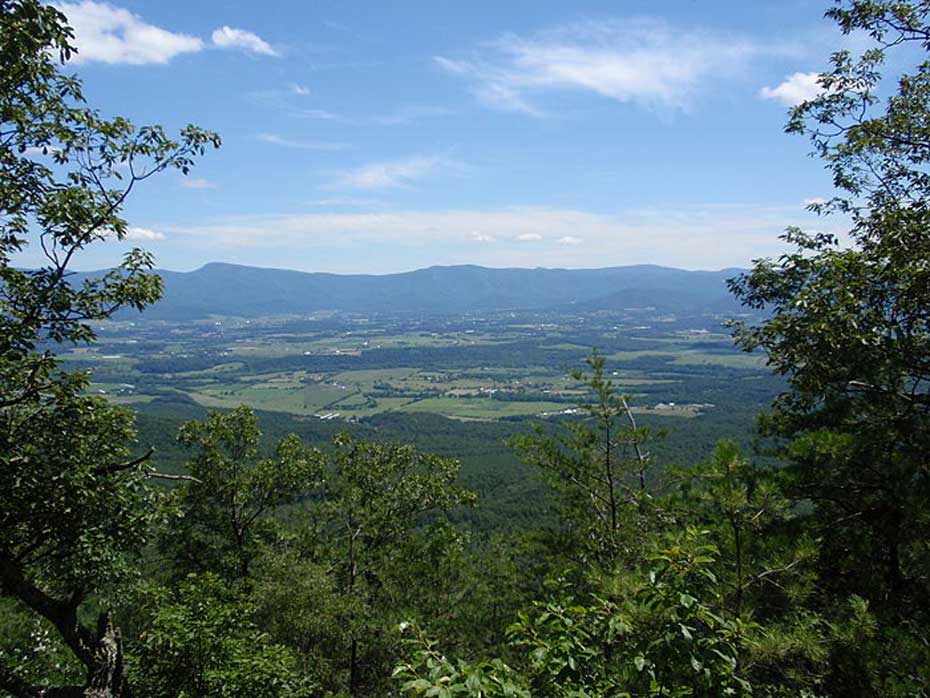
Kerns Mountain Vista
Kerns Mountain Hike Comments
Archived Comments
By:Chris
Rating:
Date of Hike: Saturday, October 7, 2017
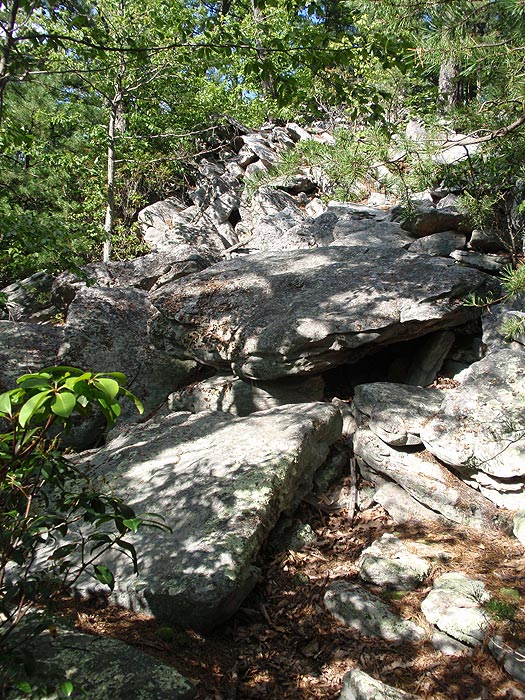
Park at the Duncan Hollow Knob lot. I couldn't find anything called "Jawbone Gap Trail." Definitely do the hike clockwise (the way it's outlined on this site). I hiked it counter clockwise and the last 1.5 miles are very rocky. I think it would be best to knock out those 1.5 miles in the beginning and enjoy the rest of your hike. The hike through the valley is uneventful the views from the ridgeline are nice and the descent isn't very well-marked. It's not a terrible circuit, but if you're looking for spectacular views, look elsewhere.
By:John Thomas Fisher
Rating:
Date of Hike: Thursday, August 11, 2016
I'm an avid hiker, and am into a challenge more than views. The ascent was downright dirty, and the views wouldn't be worth it if that's what you want in a hike. So it depends what you want.
A few things to note:
-It's really rocky, so wear supportive boots (not hiking sandals like my buddy did, he's paying for it now).
-The part where you turn right to stay on orange (steep descent) is easy to miss and you'll go about 20 minutes before you realize it.
-There are parts, even on the FS road that are heavily overgrown and make you wonder if you're in the right spot, so don't get too worried those last couple miles.
-Like any secluded hike, just keep talking, even if it's to yourself. The only other being we saw all day was the biggest bear I've ever seen before.
By:Tim
Rating:
Date of Hike: Sunday, March 13, 2011
Could not find the Jawbone Gap Trailhead with the Googlemap driving directions, which caused me to park by the Massanuten trailhead (used for the Duncan Knob Hollow hike). I hiked the Massanuten trail 3 miles to the intersection with the Gap Creek trail, which I followed past Duncan Knob, and ultimately to the Jawbone Gap Trailhead (the location of which I saved into my Garmin driving gps). I then decided to continue the Kerns Mountain route in reverse. However, I ended up going straight (vice taking a left and proceeding down the ridgeline) on the Massanuten trail where it intersected with the Jawbone Gap Trail. I realized my mistake after walking almost a mile in the wrong direction, which caused me to backtrack to the Jawbone Gap/Massanuten trail intersection. At this time it was almost 4:30 PM. Badly overestimating the time required to finish this hike, I decided to continue on my quest to complete the Kerns Mountain trail circuit. I managed to complete the 4+ mile long ridgeline hike by 5:45 PM, and by 6:35PM I was at the Massanuten connector trail intersection point. I knew I would be hard pressed to make it back to my vehicle while it was still light (and I had no flashlight), so I decided to bypass the Scothorn Gap trail segment when I got to that intersection. Instead, I stayed on the Massanuten trail, heading north/northeast back to where the Massanuten trailhead was on Fort Valley road. It was already 7:45 PM at this point--I was lucky that there was clear sky with a half moon. This allowed me to see the trail (and most important the rocks) all the way past the Gap Creek/Massanuten trail intersection to Fort Valley road, where my car was parked. All in all, what was supposed to be a leisurely 12+ mile hike turned into a 22 mile rushed adventure.
By:ajw
Rating:
Date of Hike: Saturday, September 25, 2010
I hate to rate a hike as "Could have been better," because, after all, since you're getting away from the hum-drum of your daily life and into nature, how could it be bad? Yet, I have to admit that this hike was just boring. The climb up Waterfall Mountain is a work-out, so that was a plus. But once you're on the ridge, there's little to see for an inexorable four miles. When I hiked this, leaves were still on the trees. I imagine you'd have much better views in late fall or early spring, before the foliage obstructs your views.
I combined this hike with the Stricklers Knob hike, which was fantastic. I started with Strickers Knob, so maybe my expectations were put too high? In any case, if you're looking for a rigorous 16 mile hike, start with Kerns Mountain (do it backward) and then proceed to Stricklers Knob. Having the incredible views of Strickers Knob ahead of you might make the ridge of Kerns Mountain worth it.


