|
|
Length |
Difficulty |
Streams |
Views |
Solitude |
Camping |
| 8.8 mls |
 |
|
|
 |
N/A |
Hiking Time:
Elev. Gain:
Links:
Resources: |
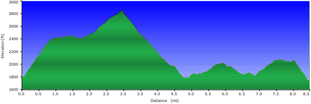
5.0 hours including time for lunch
1,850 ft
 George Washington National Forest
Topo Hike Trails Map (PDF)
Hot Springs Weather Forecast
Garmin (GDB), Gaia/Trails App
(GPX) (What's this?)
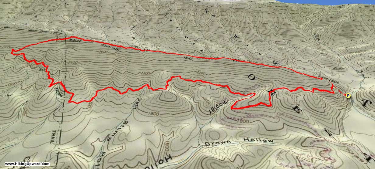
3D
View of Route |
 By Trail Contributor: Jeff Monroe (Email Jeff) By Trail Contributor: Jeff Monroe (Email Jeff)
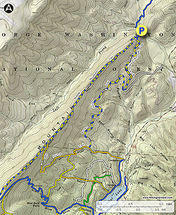
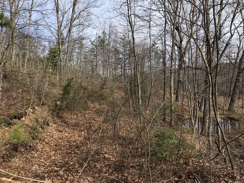
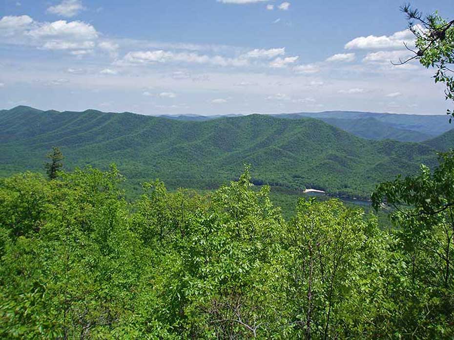
Middle Mountain forms the western boundary of Douthat State Park. This loop hike starts and ends in the George Washington National Forest, and clips the northeastern corner of the State Park. This is a hike best taken during the winter because of a lack of open viewpoints.
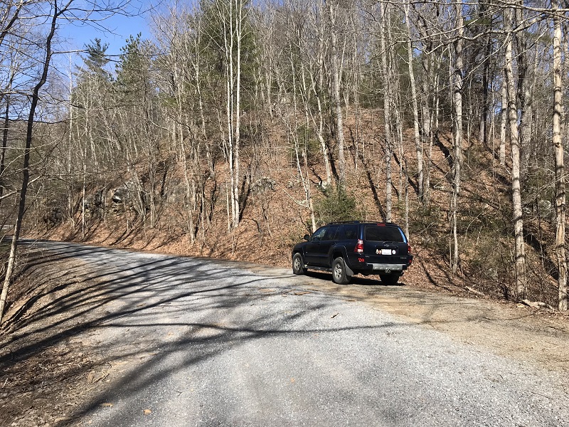
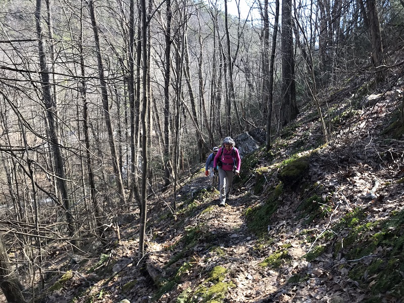
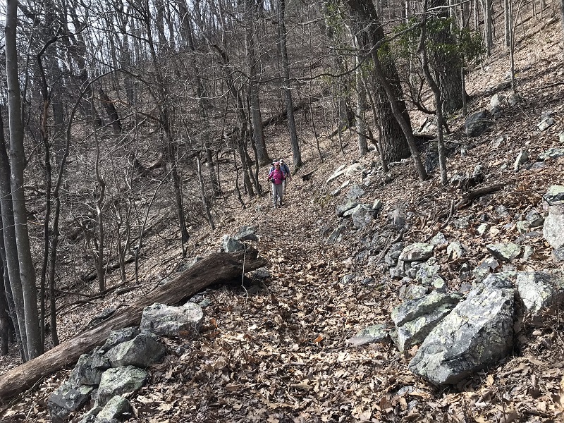
- Mile 0.0 – Park at a wide spot in Smith Creek Road, just after the road crosses Wilson Creek. There is parking for 3 or 4 cars here. At first, you may not see the blue blazed trail leaving the road because the trail sign is gone – only a post remains. It is on the other side of Wilson Creek from where you parked. You drop down next to the creek before ascending. The ascent is a quick one as the slope of Middle Mountain is steep, but a series of superbly constructed switchbacks make the ascent a relatively easy one. The Civilian Conservation Corps likely built this trail during the Great Depression, based on a review of historic topographic maps. After several switchbacks, look down, and it seems like you are directly above the road and the creek.
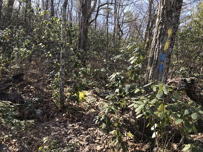
- Mile 0.8 – Paint blazes on the trees indicate a fork in the trail, however there is no trail sign at this intersection. You will return on the trail to the left (the Brown Mountain Connector Trail), but should now take the trail to the right. The Middle Mountain Trail now sports both a blue and a yellow blaze for the rest of your hike on this trail. The yellow blaze represents the Allegheny Highlands Trail System, a 63 mile system of hiking, mountain biking, and equestrian trails connecting Douthat State Park with George Washington National Forest lands in Bath and Alleghany counties. Up until this point of the hike the trail has been “hikers only,” but your route now opens up to horses and mountain bikers at this intersection.
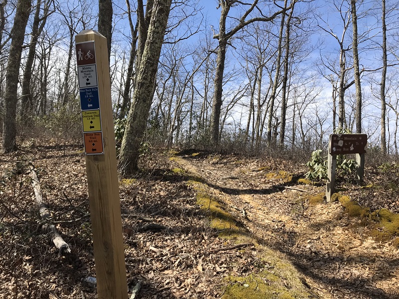
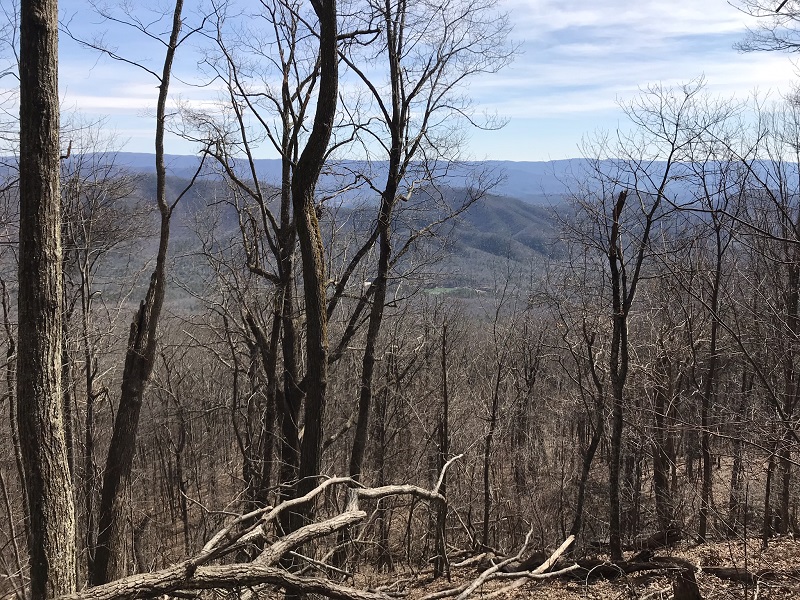
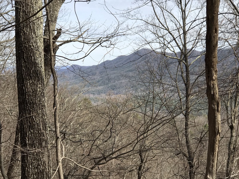
- Mile 2.9 – You will continue to climb for the entire time you hike the Middle Mountain Trail, with wintertime ridge top views of Douthat Lake, the sawtooth mountains to the left and additional mountains to the right. The high point of the hike is at a trail intersection. You are now about 1000 feet higher than the start of this hike and are in the northeastern corner of Douthat State Park. Take the orange blazed trail to your left, leaving the crest of the ridge and descending for nearly two trail miles, into Douthat State Park on the Salt Stump Trail. Note that Douthat State Park prohibits camping outside of designated campsites. If you choose to make this an overnight backpack, the ridge of Middle Mountain is probably your best bet.
- Mile 4.1 – After hiking along the slope of Middle Mountain, come to a trail intersection with the yellow blazed Pine Tree Trail on your right. Continue on the orange blazed Salt Stump Trail to the left.
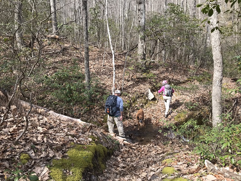
- Mile 4.4 – Cross a stream.
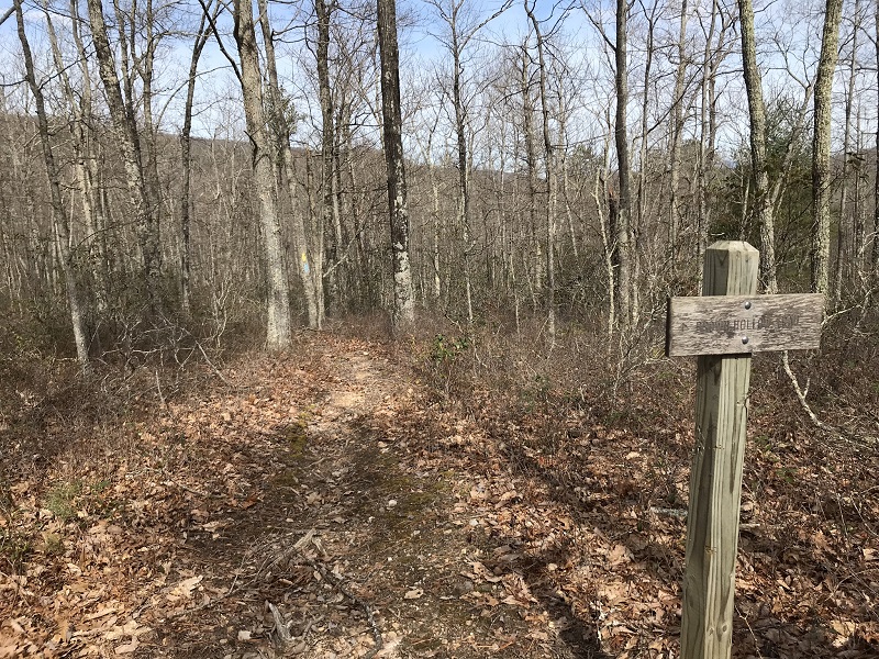
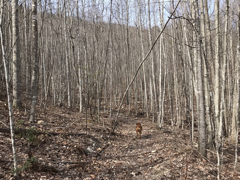
- Mile 4.7 – Another trail intersection. Take the trail signed Brown Hollow Trail to the left, which is both yellow and blue blazed. At this intersection, the trail exits Douthat State Park and re-enters the George Washington National Forest. The forest composition changes dramatically here, becoming a thick canopy of relatively young trees. This area appears to have been clearcut at some point in its history. After a stream crossing and a brief walk straight upslope, take a right onto an old woods road. Perhaps this was the access road for the clearcut?
- Mile 5.2 – Pass a small wildlife pond on your right. This section of trail may be somewhat overgrown during some parts of the year.
- Mile 5.4 – Cross another small stream.
- Mile 6.5– Arrive at the end of the forest road open to traffic part of the year. FS125A, Brown Hollow Road, is open April and May, and again from September 1 through the end of January, but is gated the rest of the year. Continue on this road, over a stream.
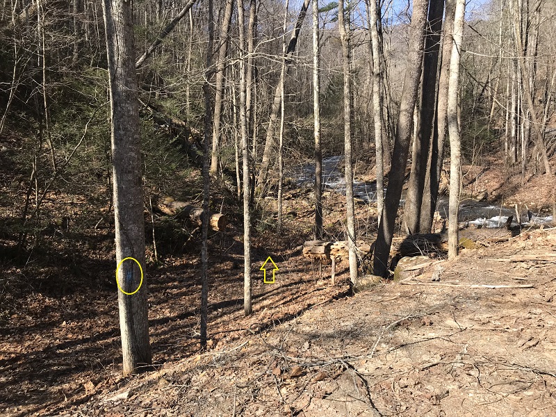
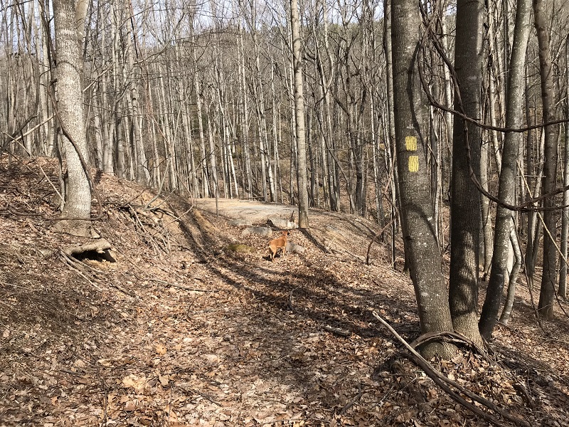
- Mile 6.9 – Look for a trail on your left as the road curves sharply left. There is no sign here. Follow uphill the trail, which is blazed yellow and blue. Begin an ascent that lasts a little over half a mile; it is your last ascent of this hike.
- Mile 8.0 – Complete the loop by arriving again at the Middle Mountain Trail. Take a right here, to retrace your steps and descend Middle Mountain to your vehicle.
- Mile 8.8 – Return to the trailhead.
|


