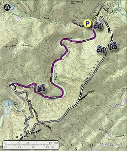
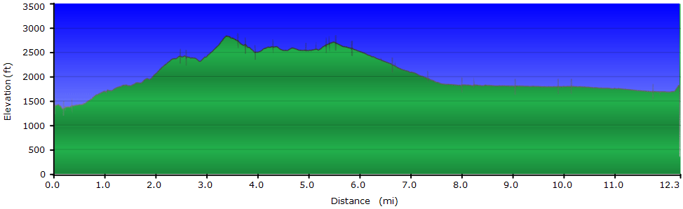
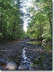
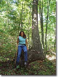
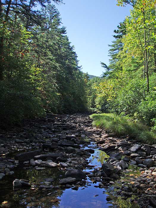
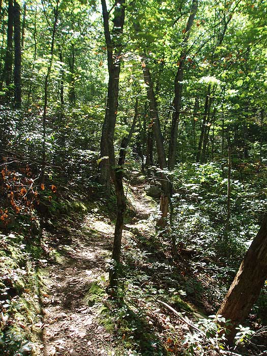
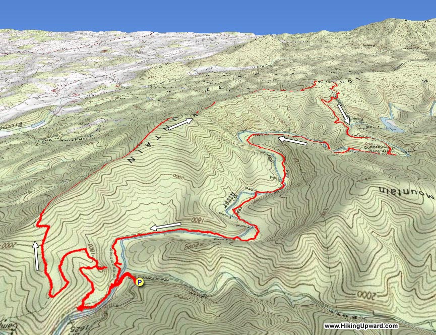
The only loop hike that follows a river in the Todd Lake area of the GWNF, this hike has several nice view points, as well as a 4.2 mile hike along the banks of North River. The best time of the year for this circuit is in the late summer or early fall, when the river is lower. With eight fords of North River, it can be a challenge when the water is high.
NOTE: You are required to ford North River 9 more times in the final 4.2 mile section of this hike. If the river is high, it could take significantly longer than the 6 hour hike time to complete.
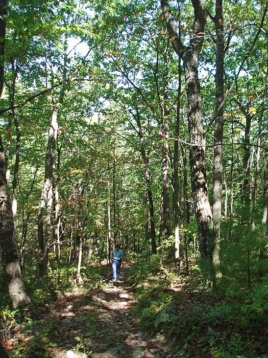
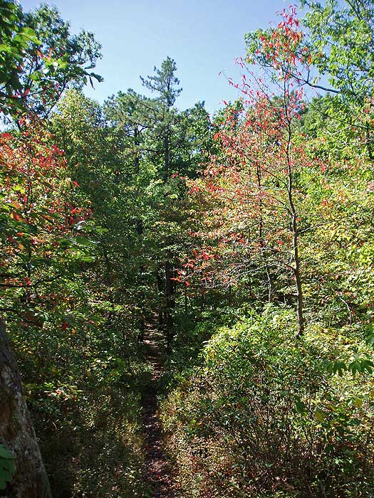
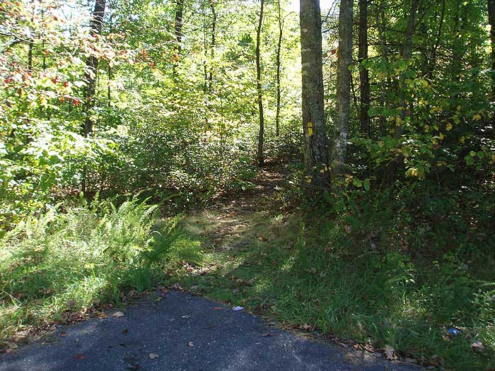
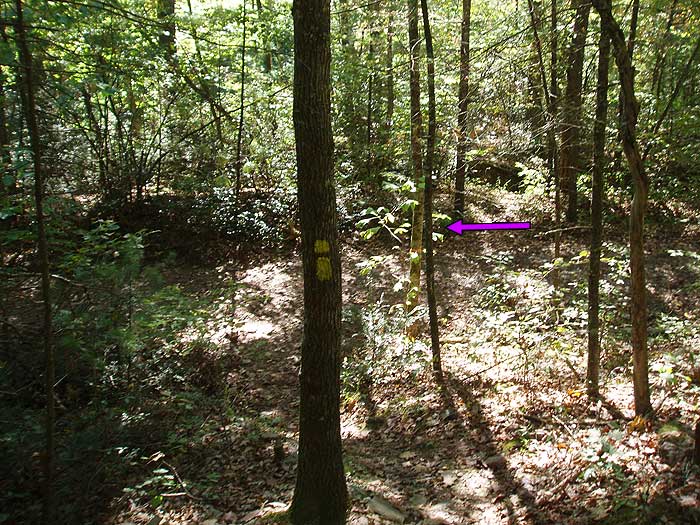
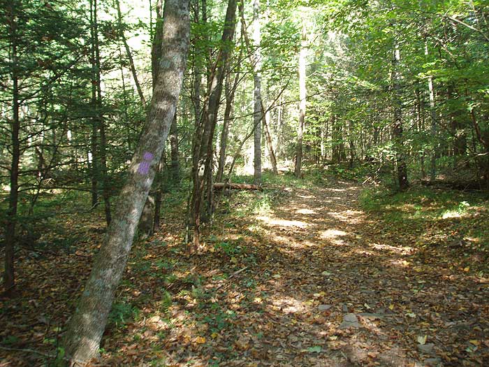
After fording North River the purple blazed trail turns right, and a yellow blazed connector trail turns left down river. Turn left on the yellow blazed trail, and in 0.2 miles arrive at the intersection of the white blazed Wild Oak Trail.
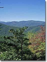
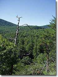
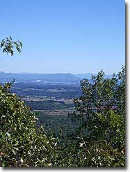
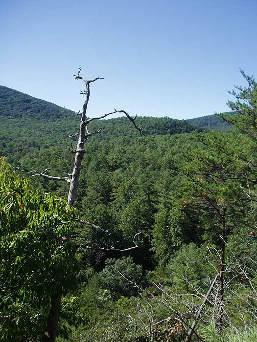
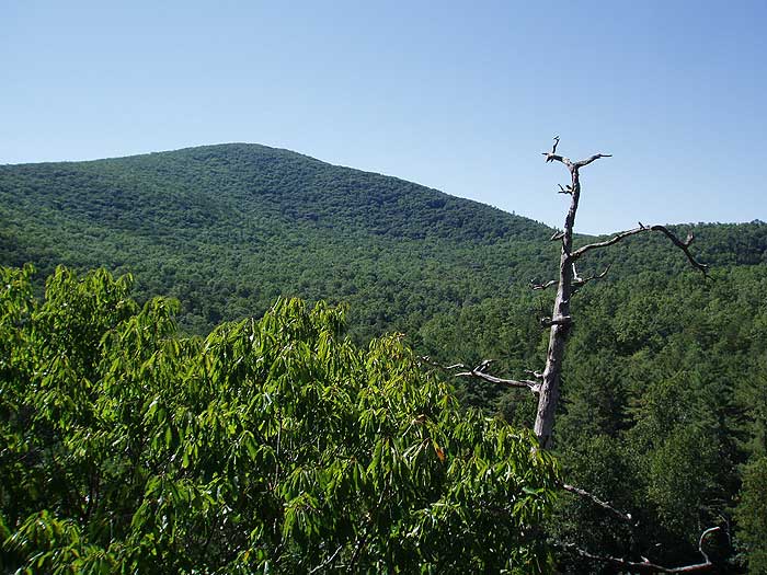
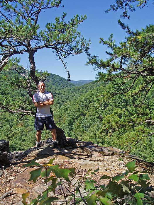
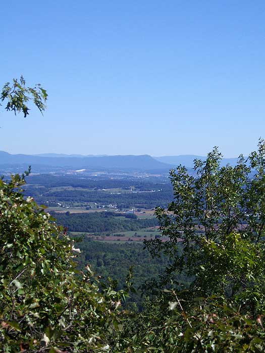
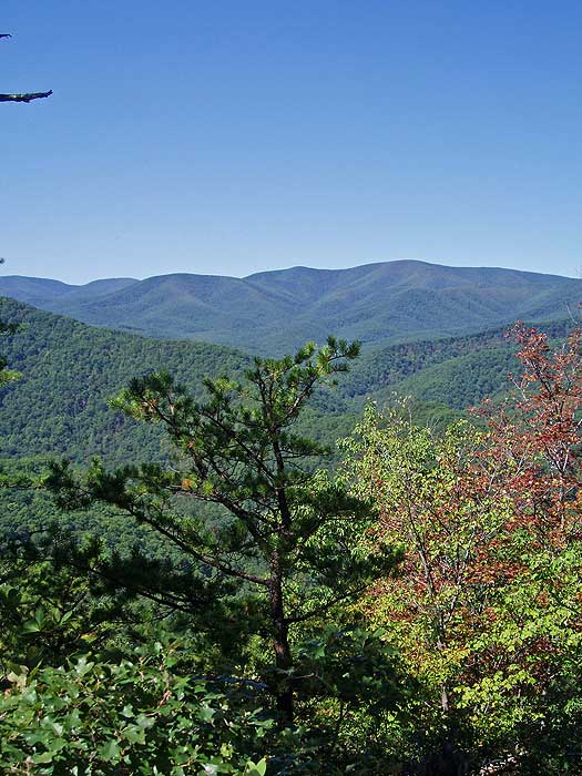
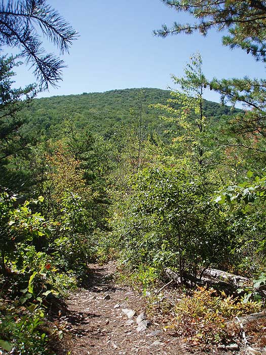
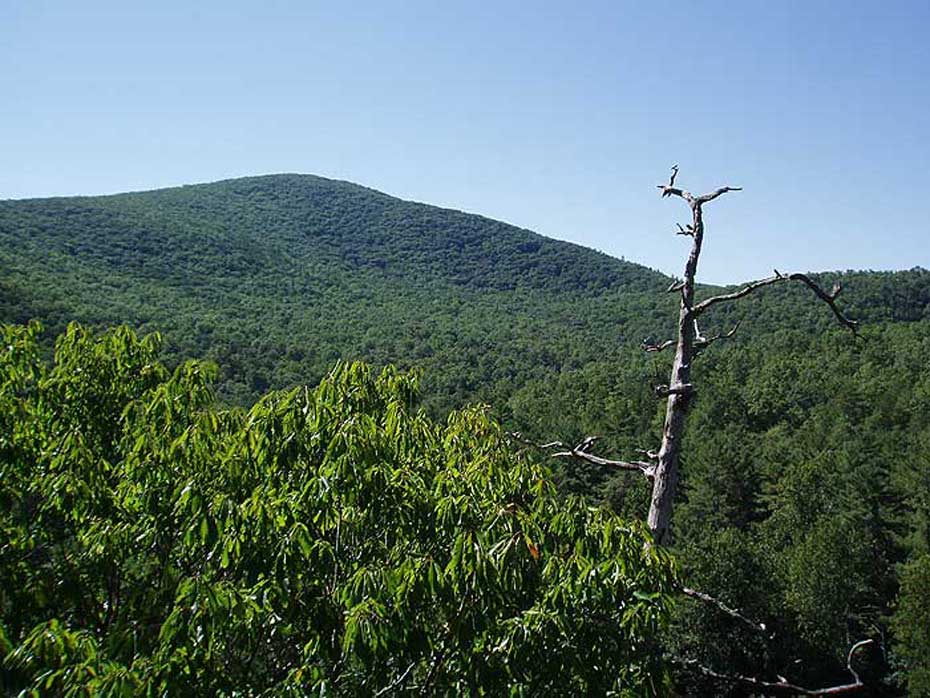
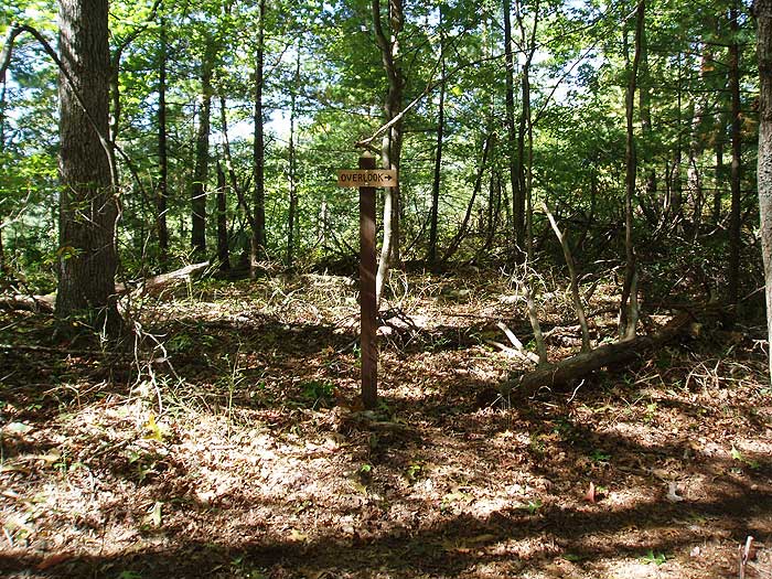
Turn right uphill on the white blazed trail for 0.3 miles where it meets the intersection of the 100 yard out/back lookout trail. Take the lookout trail for the best vista on the hike. After returning to the white blazed trail, continue uphill as the trail becomes increasingly steep for another 1.6 miles before arriving at the final two good vista points on the hike. The first is to the east and Harrisonburg VA, and the second in another 100 yards, to the west.
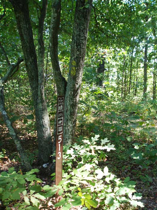
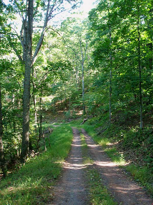
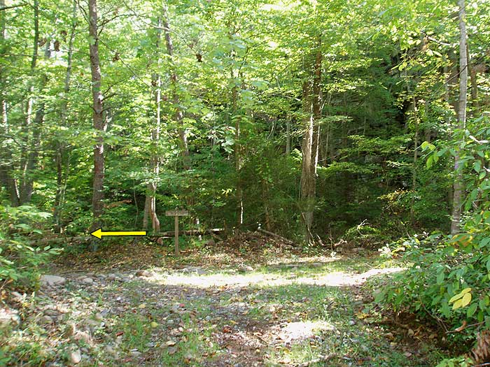
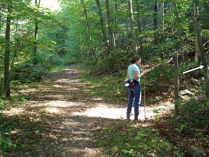
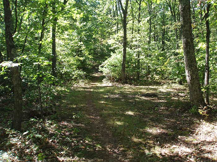
From the ridge and second vista, continue another 0.8 miles over the hike high point on Lookout Mountain, then descend to the saddle in the ridge and intersection of yellow blazed trail TR513. Continue uphill on the white blazed trail for 1.2 miles passing over another rise and arrive at the un-maintained Bear Draft Trail. Continue straight on the white blazed trail for 0.3 miles, where the trail turns right downhill following a narrow Forestry Service (FS) road for 0.2 miles to the intersection of a wider FS road.
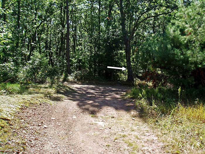
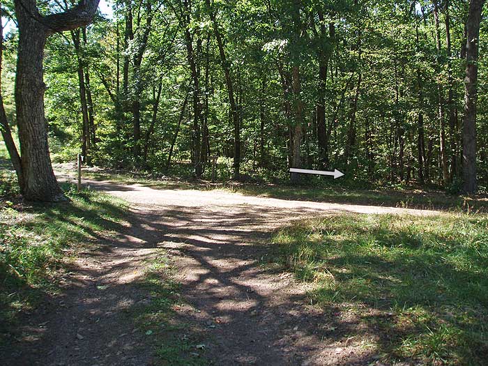
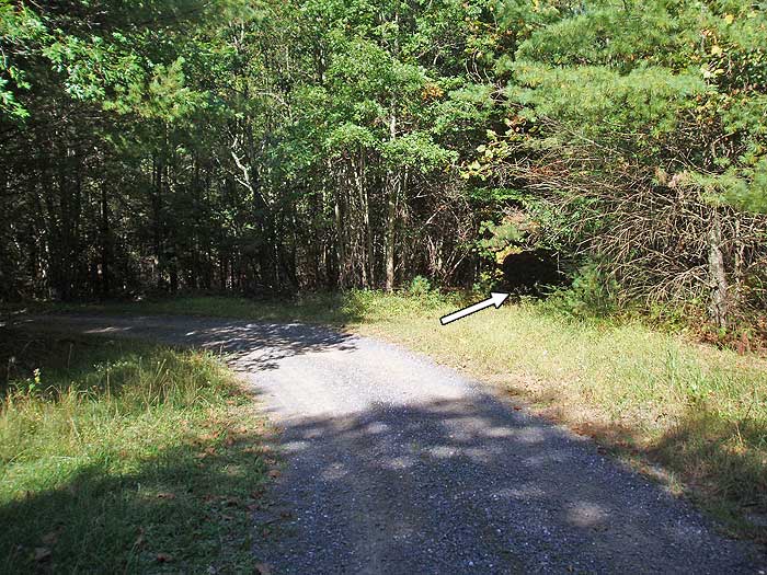
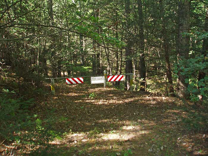
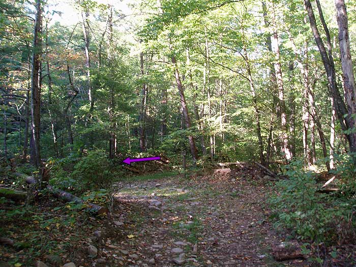
Turn right downhill following the the FS road as it winds down to the valley in 2.0 miles. Where the FS road veers left, near the valley floor, turn right onto an unmarked grass covered FS road, and in 100 yards pass through a closed gate. Follow the FS road down to the banks of North River, and intersection of the purple blazed North River Gorge Trail.
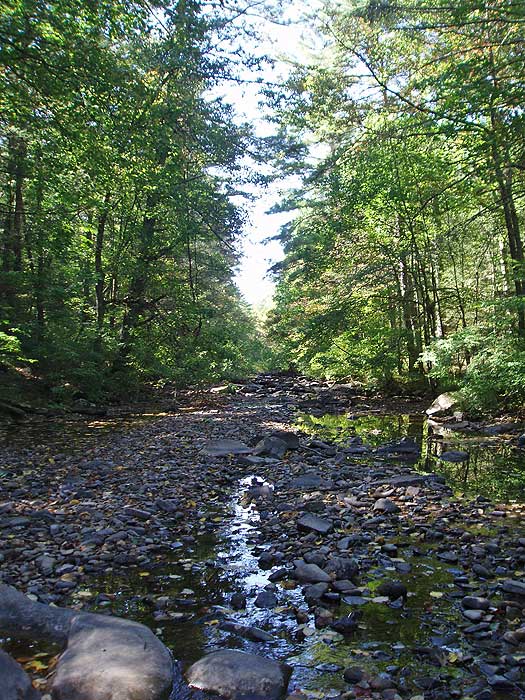
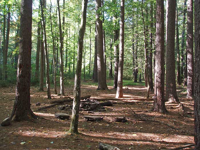
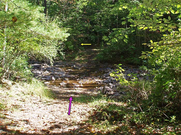
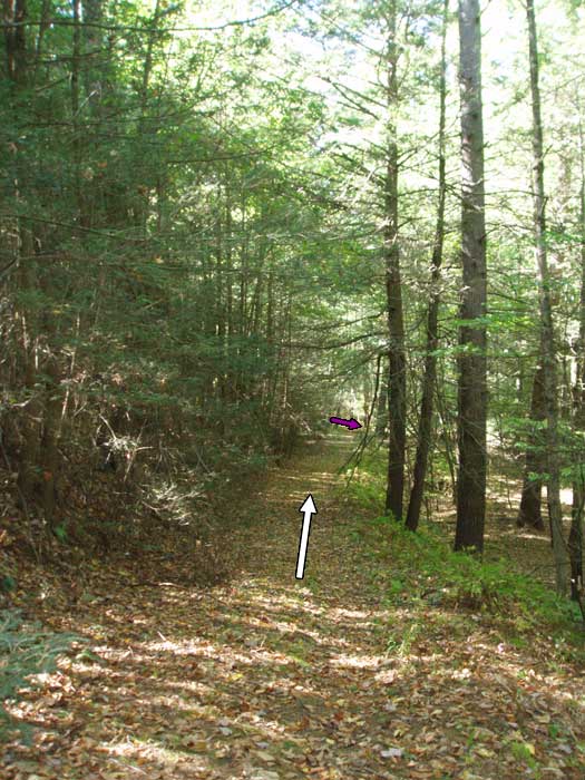
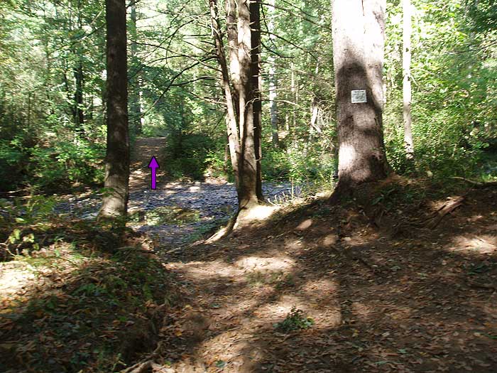
Turn right on the purple blazed trail and in 0.3 miles make the first of 9 fords across North River. There are several nice campsites on the trail, the first just after the second ford, and a large group campsite after the 8th ford 3.6 miles from the first campsite. From the large group campsite, after the 8th ford, continue on the right side of the river to the intersection of the yellow blazed trail in another 0.1 miles.
Re-cross North River staying on the purple blazed trail for 200 yards, then turn right uphill on the yellow blazed trail for the remaining 0.1 miles back to the parking area.
Late September
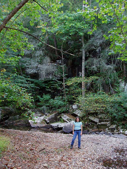
North River Gorge Overlook
North River Gorge Hike Comments
Archived Comments
By:JLP
Rating:
Date of Hike: Saturday, October 6, 2018
Wonderful hike, love the ridgeline on the Wild Oak trail. A couple of things: one, this was my second attempt at doing this hike I tried a few weeks ago but turned around at the first crossing because the river looked high. You can look up the river gauge for the North River near Stokesville the gauge was reporting 4 ft when I decided it was too high, and about 2.5 ft when I tried again. 2.5 ft translated to being around my knees, and made for fun if occasionally cautious crossings.
Two, people mentioned getting lost, so I brought the printed directions plus NatGeo map 791, and I still managed to misinterpret the map, so here's my advice: an indicator for when you hit FS 425/Lookout Mountain are two unhelpful signs (one says Lookout Mountain, the other offers distances to two FS roads) that is your intersection where you want to turn right and head downhill on the dirt road. Let me repeat: If you are coming down Wild Oak trail and you come to an intersection with a semi-legit looking road (semi-legit as far as FS roads go, it's really only 4wd friendly), THAT IS YOUR INTERSECTION, turn right. If you're walking on a road and not descending towards the river, you've missed it. Now, as for the "unmarked grass covered FS road," I ended up not taking it and following the dirt FS road down to an actual road and picking up the North River Gorge Trail near the campground. I did this intentionally because I wanted to use the vault toilet, but also because there was a pile of downed brush blocking what I thought was the unmarked road and I was too tired to check it out (I had a false start earlier with a different "unmarked road"). I'm pretty sure that brush-blocked spot was the unmarked road, though, and coming around the long way I *did* see where the unmarked road merged in the gate is there just as described, and it's recognizably a forest road at that point. The unmarked road is really just a shortcut, so don't worry if you miss it.
Finally - I thought I'd have solitude, and I entirely did on the North River Gorge trail. As for the Wild Oak trail, I had the fun of sharing it with some utterly crazy people - it was part of the route for the Grindstone 100 race. Seriously, look it up. Crazy people.
By:Hikermel
Rating:
Date of Hike: Tuesday, August 7, 2018
Not feeling like 12.5 miles today I did an out and back on North River Gorge Trail. Lots of rain recently so lots of water in the river making fording challenging! It's a great hike though, an easy walk in the woods really. I highly recommend wearing hiking sandals (I wear Keens) and having poles for crossing the river. I took just over four hours to hike up to the campground and back. I stopped once for lunch and a dip in the river and then again for another dip who could resist on a hot August day!
By:Mike Taylor
Rating:
Date of Hike: Friday, January 19, 2018
What an incredible hike!
This was my 3rd time hiking this loop and by far... the coldest.
I went last spring and the water was rushing and deep... Then I went last fall and the waterflow was so minimal we didn't get our feet wet. This last weekend (19JAN2018) we hiked the loop and the water crossings were icy and cold. Water was about knee deep or less for most crossings, but at one point it looked VERY deep (waist) so we decided to parallel the river for a while and look for a better place to cross. Twice we were able to cross on fallen trees, but 9 times we had to cross the icy river IN THE WATER. We took our boots and socks off and crossed safely with hiking poles. Our feet warmed up fairly quickly once we got our wool socks and boots back on.
(I'll try to add some pictures if this site allows me to.)
Temps were 45 to 50 during the day at the ridge of the mountain, but much colder down in the valley.
Happy trails.. I'll be back in the spring for a water crossing trip!
By:NH_Hiker
Rating:
Date of Hike: Sunday, September 3, 2017
We decided to do this as an overnight hike Labor Day weekend. Weather was gorgeous Sunday morning (after the rain all day Saturday), with temps in the 70s and with a nice breeze. The parking lot was pretty easy to find (although the GPS coordinates provided here fall a mile or two short), and only one other car was in the lot when we started around noon. The first part of the hike was very peaceful...we hardly saw anyone except a couple of mountain bikers up on the WONRT. Most of the time we had the trail to ourselves. That all changed, however, when we reached the first trail intersection up on Lookout Mountain. We found ourselves in the middle of the SM100 mountain bike race!! It was actually really dangerous at times, as the trail was narrow and bikers came flying by at 30 mph. It's pretty annoying that the FS didn't put up signs or close the trails to hikers...they are multi-use trails after all. At least all the bikers were friendly though, even if they had put in close to 100 miles that day! We must have passed at least 100 of them on our way down to the North River.
When you get to the bottom of the forest road, keep a sharp lookout for the "overgrown" cutoff that you're supposed to take. It's hard to spot. When the road takes a sharp horseshoe turn to the left, however, look straight ahead and you'll find it. At this time of the year, the river crossings were all easily rock-hoppable.Be advised that there are very few camping spots along the river. The first spot was taken unfortunately, so we figured there would be more spots available further down the trail. But we didn't find a spot until we were only a mile from the car!
Overall, it's a nice hike, but not sure it's one I would do again. The viewpoints are starting to become overgrown a bit, so I would probably only do it when the leaves are down (and the river is higher so things are more interesting!).
By:alex
Rating:
Date of Hike: Thursday, October 29, 2015
best hike all year. leaves were beautiful, the first vista blew my mind. a few days of rain got the river going, which made it real fun to ford 10 times. didn't see anyone else the entire time/hiked naked for a good hour
By:Pappy
Rating:
Date of Hike: Saturday, September 13, 2014
This is a good one. Especially along the river it's really great -- lots of solitude, nature, and the peaceful sound of the North River. What more could you want? The hardest thing about this loop in my opinion is finding your way around. The trails aren't very well identified, so if you don't study where you're going before-hand or have a map, you'll probably get lost (like me). That being said, getting lost adds a whole new element of excitement and adventure, so go out there and get lost, and when you finally come out to a road, hitch a ride back to your car!
By:Jen
Rating:
Date of Hike: Saturday, August 16, 2014
I did this hike as a hike/run. I ran the North River Gorge as an out and back last summer when the water was relatively high and I loved it, so I was looking forward to doing this circuit hike. The hike did not disappoint!
I started at the White Oak Trail parking lot which added some mileage to the hike (13.6 versus 12). The hike up was not bad. The steeper switchbacks were tempered by easier sections. The ridge afforded beautiful views and I encountered two bears. One bear hurriedly scrambled down a tree on the east side of the ridge and I saw just a flash of fur and a heavily shaking tree. The second bear was on the trail facing me, though still a good distance away. He was big and beautiful! We stood there looking at each other and he eventually turned and walked into the woods perpendicular to the trail. I am always awed when I encounter a bear in my travels.
I had considered taking the unmaintained Bear Draft Trail as a cut-off to the fire road but I never saw it -- so I'd consider it a former trail that is completely overgrown, at least in summer. The directions to the fire road descent were easy to follow. The fire road had some pretty views of Big Bald Mountain on the way down.
Once you reach the gate at the end of the fire road descent you turn right and almost immediately see the entrance to the North River Gorge trail. The water was very low and I probably could have forded each river crossing with dry feet. I'm a water-loving type though so I got wet when I could and would have loved for the water levels to be higher.
I finished the 13.6 mile loop in 4 hours including a few stops for photos and the two stops for tip-toeing by the bears. Overall it was a beautiful hike with doable elevation gain, views, flora, and fauna.
By:Leah Huyard/Rachael Brenneman
Rating:
Date of Hike: Tuesday, June 10, 2014
The first part of the hike was enjoyable. We spent the night along the Bear Draft Trail. (the un-maintained trail which is basically just a sign) We walked down to the creek where we were supposed to find the purple blazes and ford the river about 9 times. To our dismay, we could not find any purple blazes. We walked up and down the river for about 3 hours. They simply were not there. In the end, we had to hitchhike 10-12 miles back to our car. Perhaps the forest service should repaint the purple blazes on the trees that are supposed to have purple blazes. Or just take better care of the trail.
By:aldikuma
Rating:
Date of Hike: Saturday, February 15, 2014
I see this hasn't been reviewed in quite a while! My husband and I intended to do neighboring Grooms Ridge, but accidentally ended up on this one. Glad we did - it was certainly an experience! The views from the ridge were beautiful, and walking along and crossing the river was cool (literally ). We didn't have to cross the river more than four times as we found ways around, but thankfully the water was fairly low. Yes, it was definitely freezing on our bare feet, but it was actually pretty refreshing and makes a good story haha. The campsite at the intersection of the white blazed and Bear Draft trails was less than desirable, though. I wish we'd found a different one. Several animals passed by us during the night, including howling coyotes and barking foxes -- which is fine and totally expected -- but the PERSON walking past our tent at 3am was not! A little strange! We saw many trail runners on the way in on the first day, and barely anyone the next. One said we were crazy for staying overnight, but we love winter hiking and camping.
By:DrewATC
Rating:
Date of Hike: Sunday, May 30, 2010
Great adventure. Wasn't expecting the river to be as swollen and flowing fast as it was. First ford across the river was the deepest (waist deep for me at 6') Nice uphill climb for the first 90 minutes... not much traffic... one mountain biker. Few more mountain bikers on the backside. Unmarked trail at bottom of FS road is little tricky to find. Once on the purple blazed North River Trail the fun begins... 1st ford is easy, 2 and 3 are challenging as the river is moving pretty good at these points, 4-6 are average , 7&8 are above average (depth and flow) and then back to the deepest ford (seemed a lot easier going back across after the other 8 crossings). Total time was 4hrs 30 mins. Look forward to doing this one again in late summer to compare.


