|
| Length |
Difficulty |
Streams |
Views |
Solitude |
Camping |
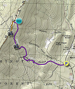
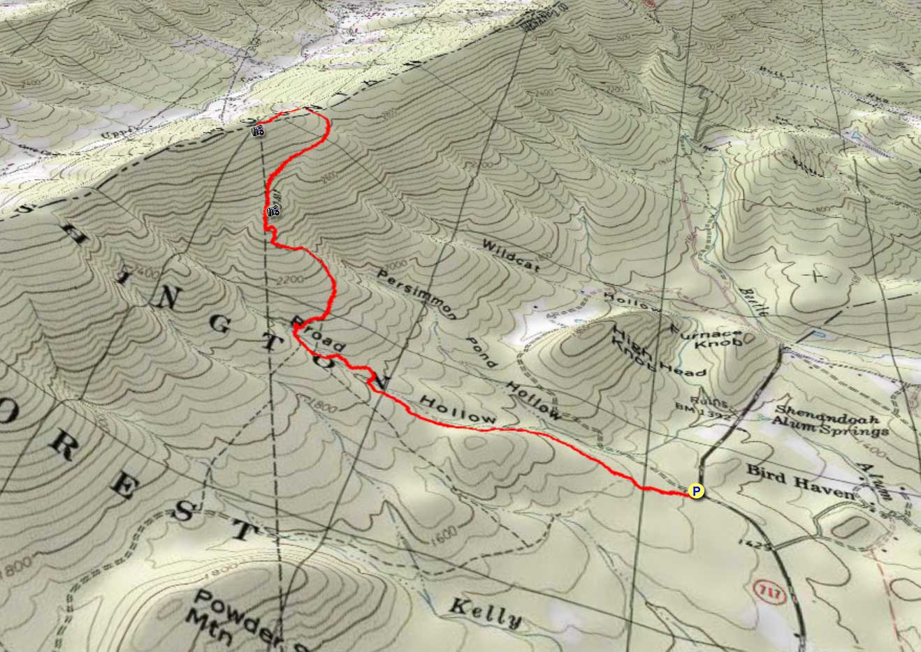
| 5.8 mls |
 |
 |
 |
 |
 |
Hiking
Time:
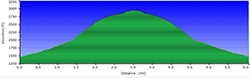
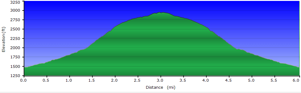
Elev. Gain:
Links:
Resources: |
4.0 hours including breaks
1,450 ft
 George
Washington National Forest George
Washington National Forest
Topo Hike Trails Map (PDF)
Basye VA Weather Forecast
Garmin (GDB), Gaia/Trails App (GPX) (What's
this?)
3D
View of Route |
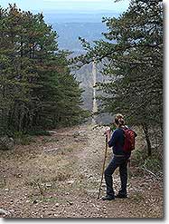
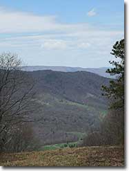
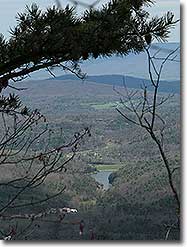
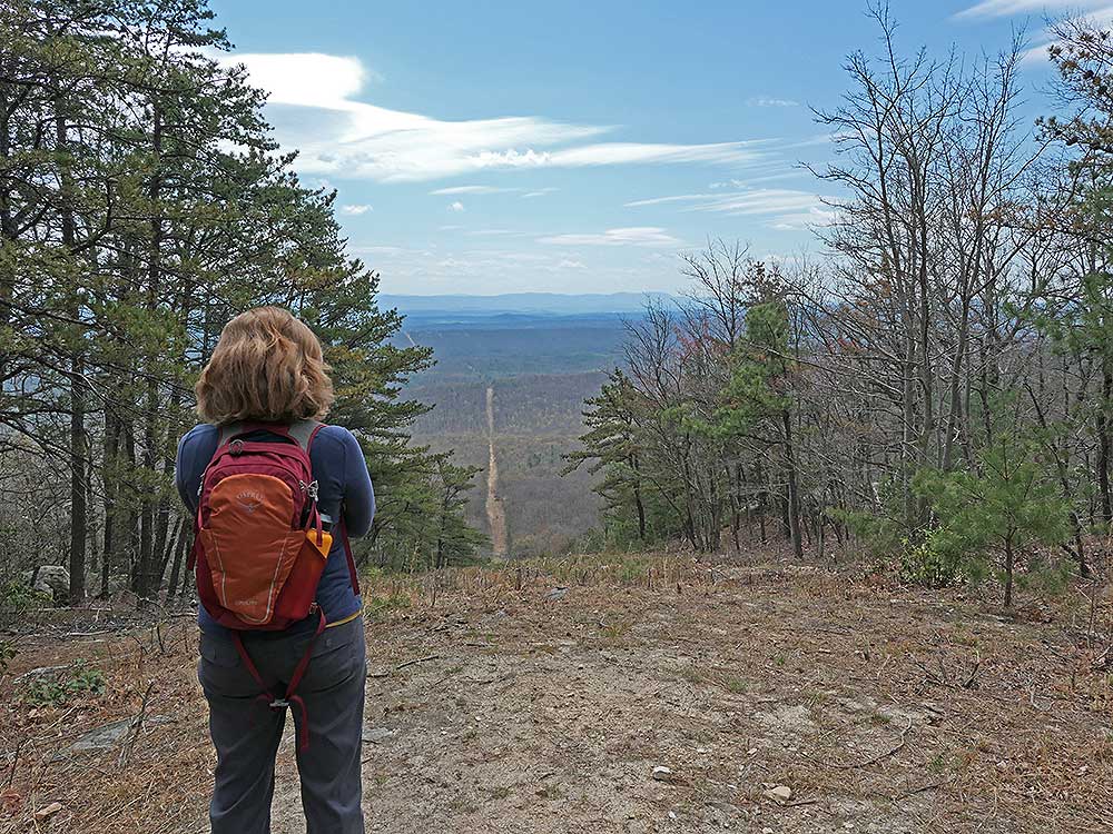
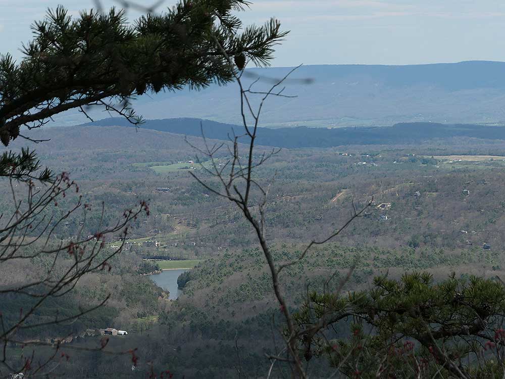
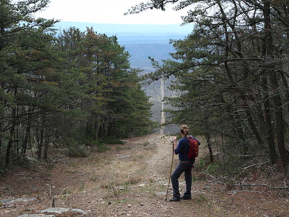
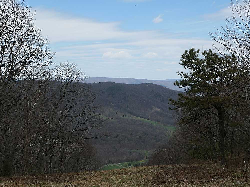
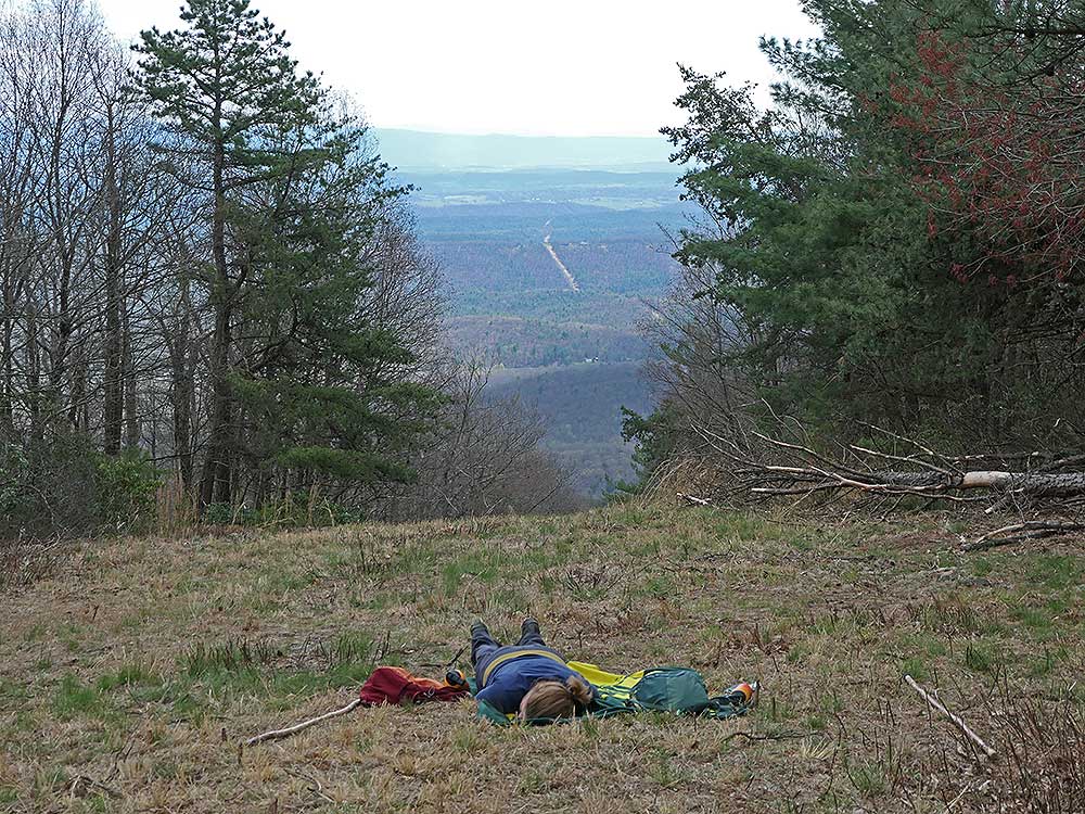
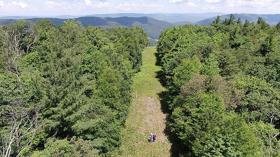
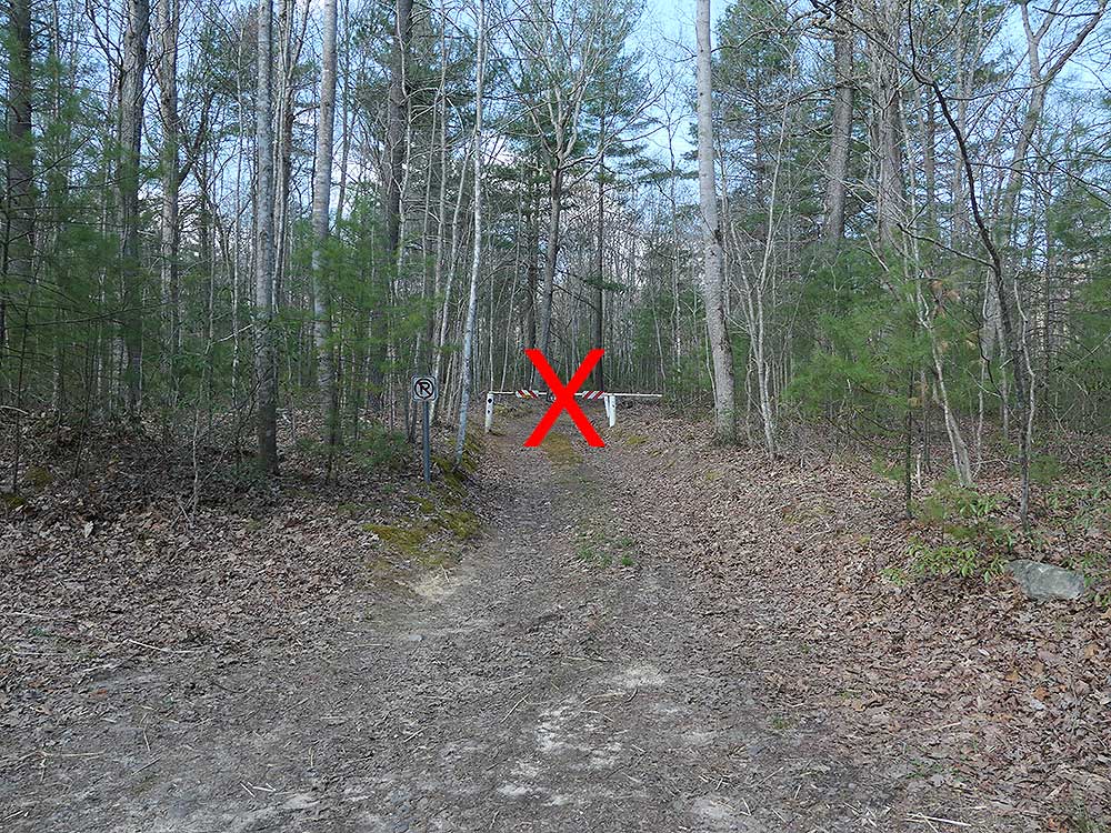
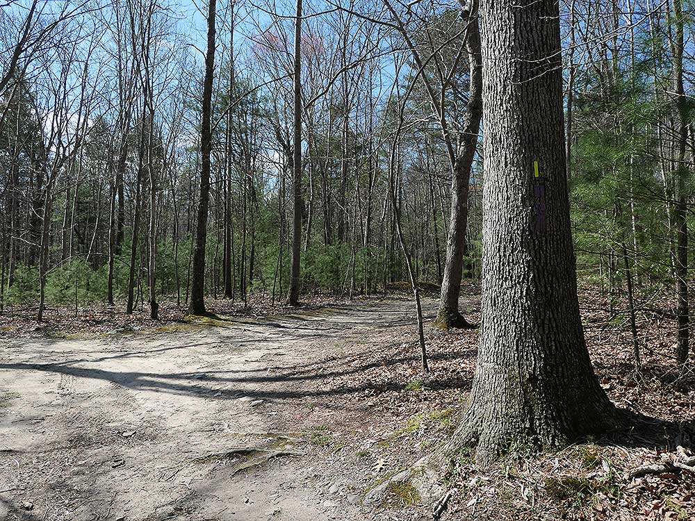
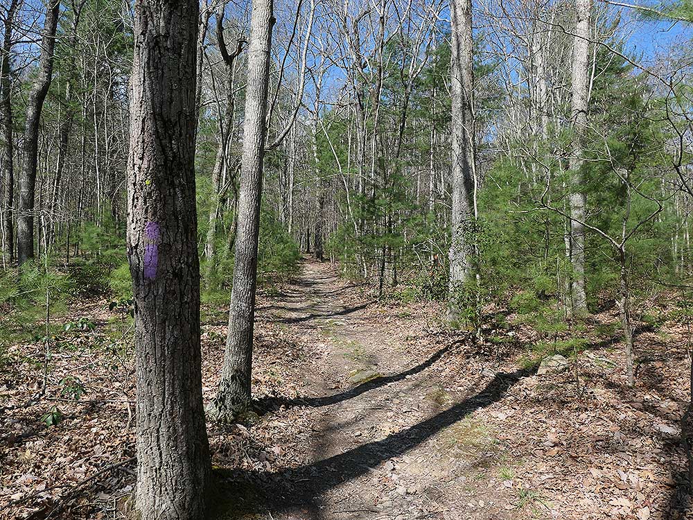
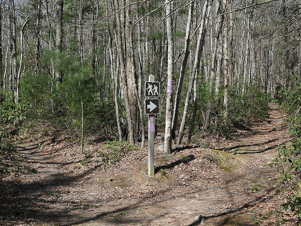
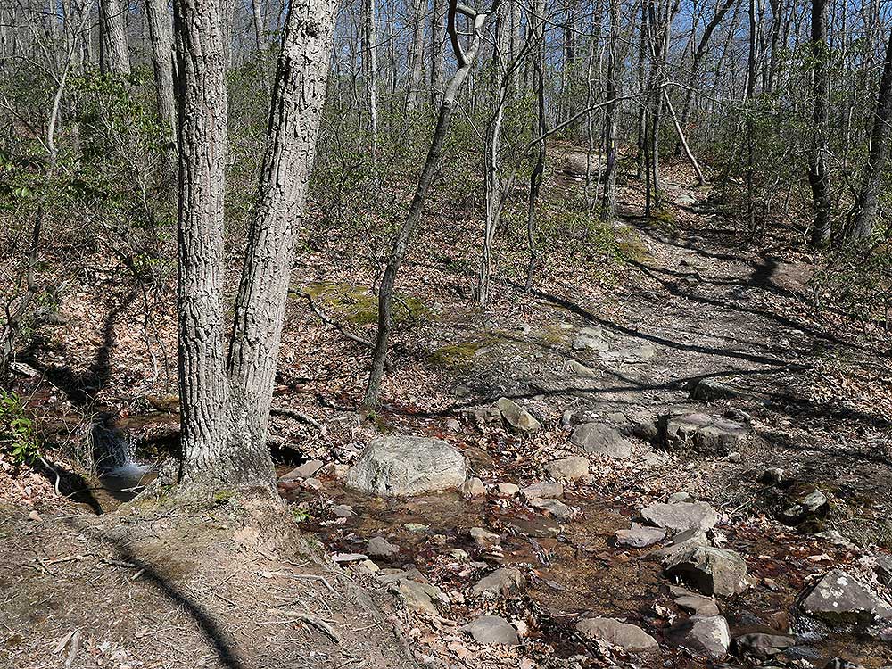
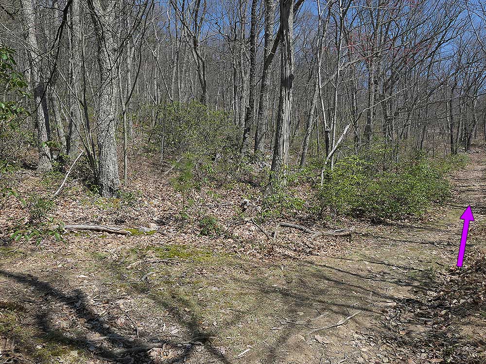
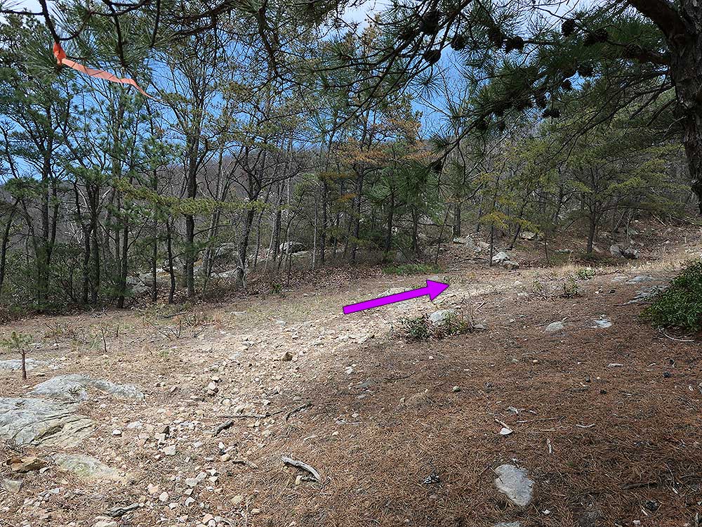
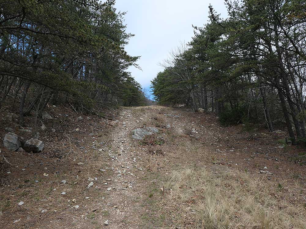
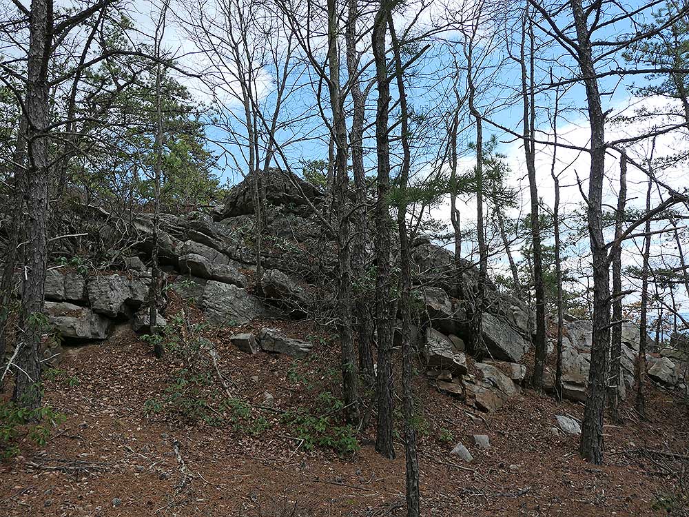
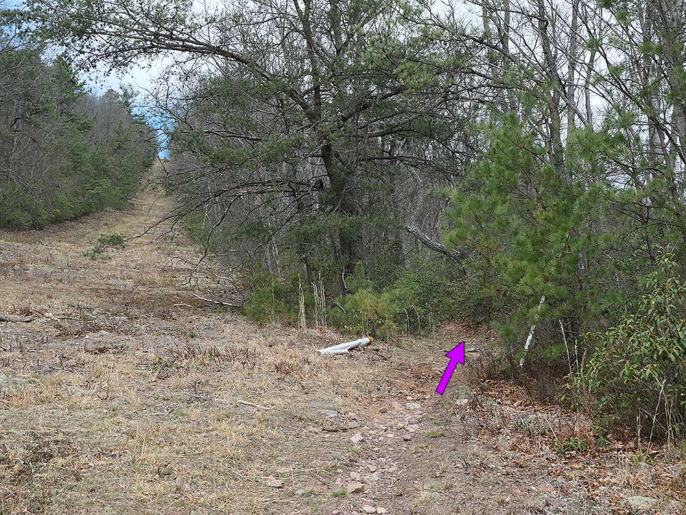
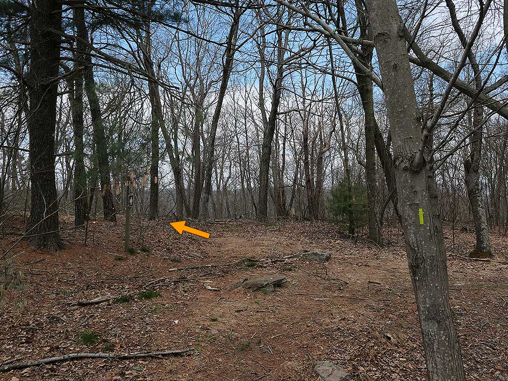
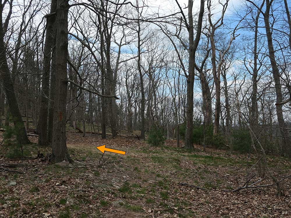
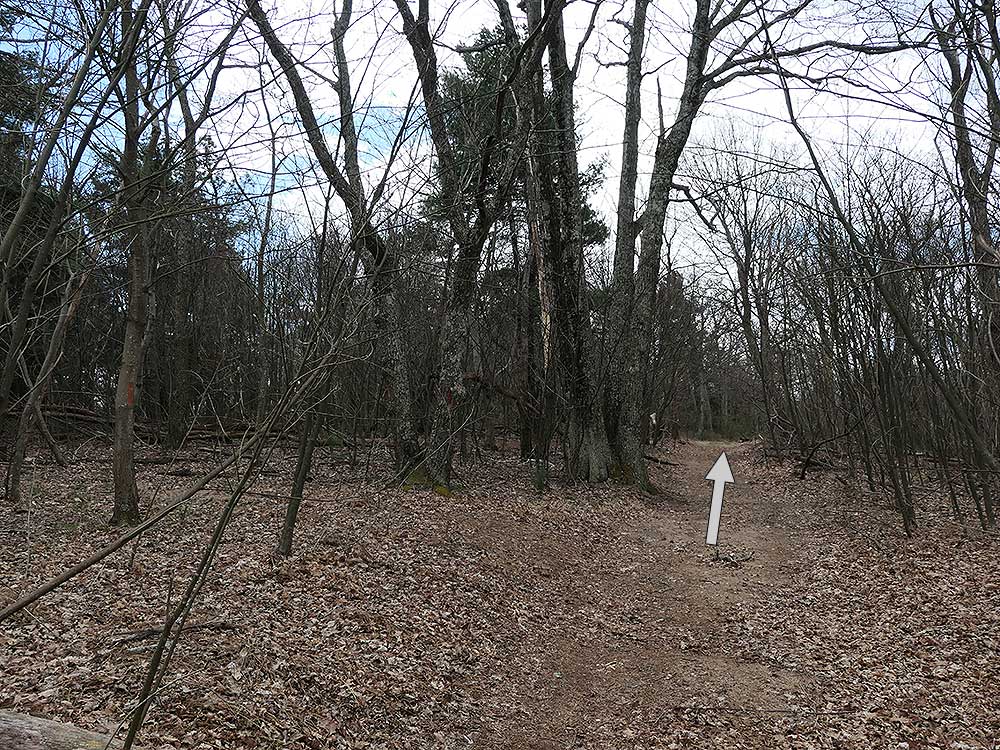
 Located near Basye and Orkney Springs Virginia, this hike is one of the more secluded and least utilized in the Great North Mountain trail system. Riddle's Cut is the name for the gas pipeline clearcut that provides wonderful views to both the east and west at several different points along the Orkney Springs and Massanutten trails. Starting from the valley and climbing to the ridge, the Orkney Springs Trail will give you a decent workout gaining 1,450ft of altitude in 2.5 miles. Located near Basye and Orkney Springs Virginia, this hike is one of the more secluded and least utilized in the Great North Mountain trail system. Riddle's Cut is the name for the gas pipeline clearcut that provides wonderful views to both the east and west at several different points along the Orkney Springs and Massanutten trails. Starting from the valley and climbing to the ridge, the Orkney Springs Trail will give you a decent workout gaining 1,450ft of altitude in 2.5 miles.
|
