
|
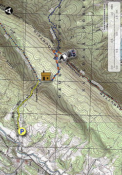
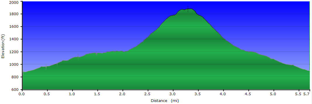
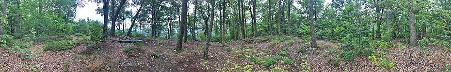
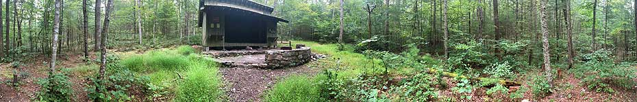
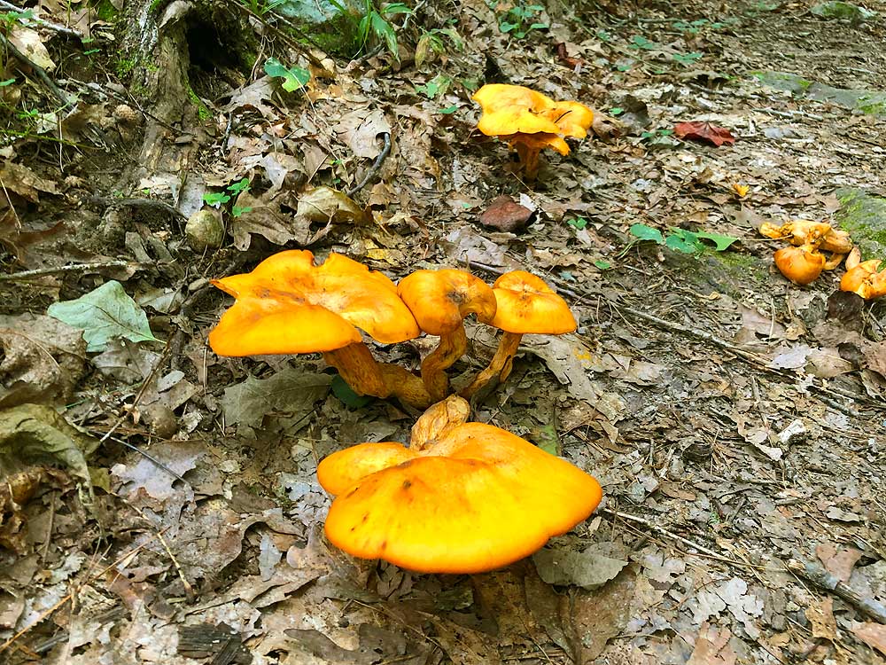
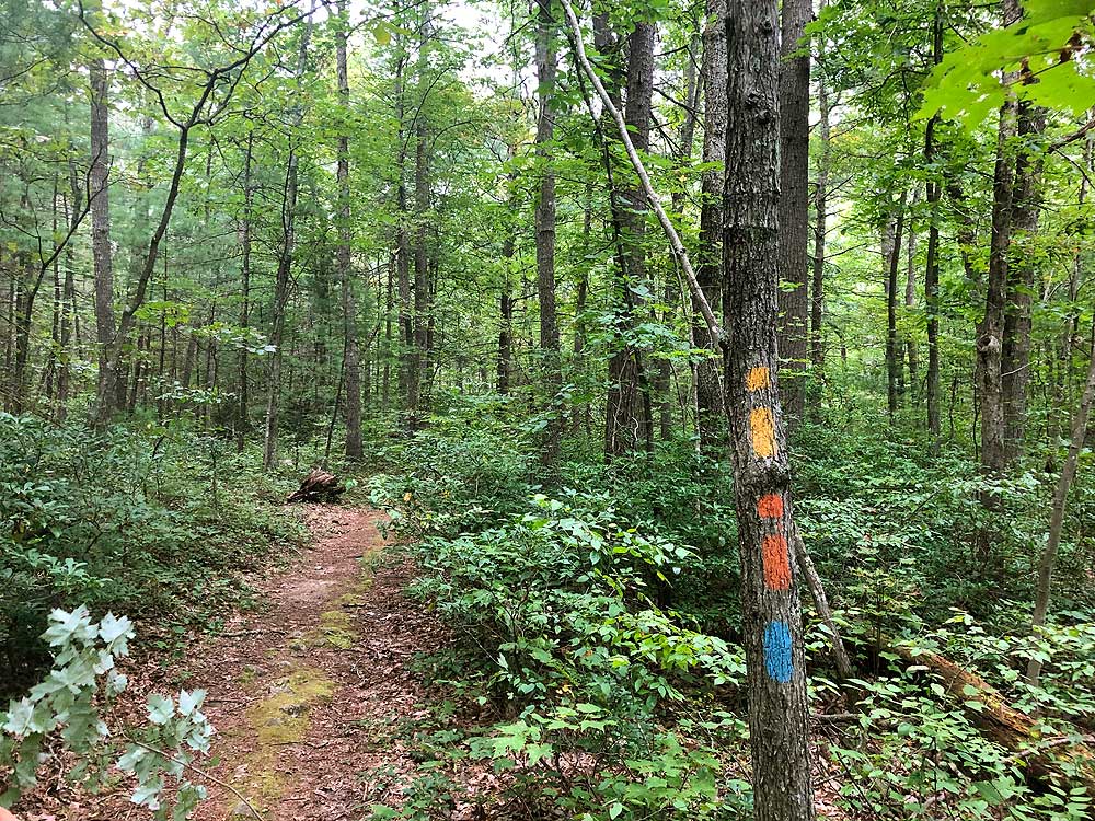
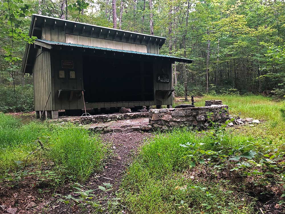
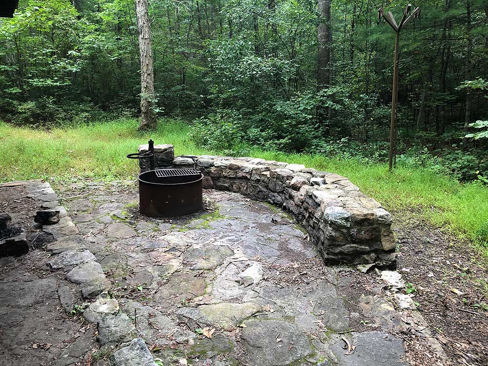
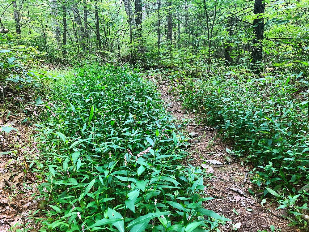
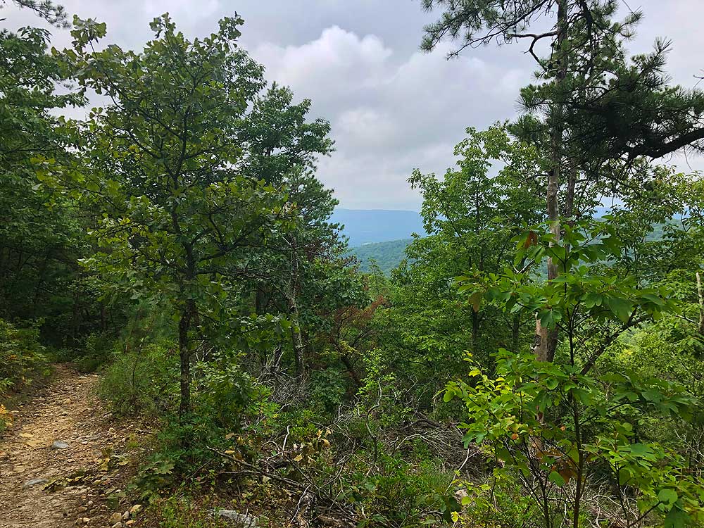
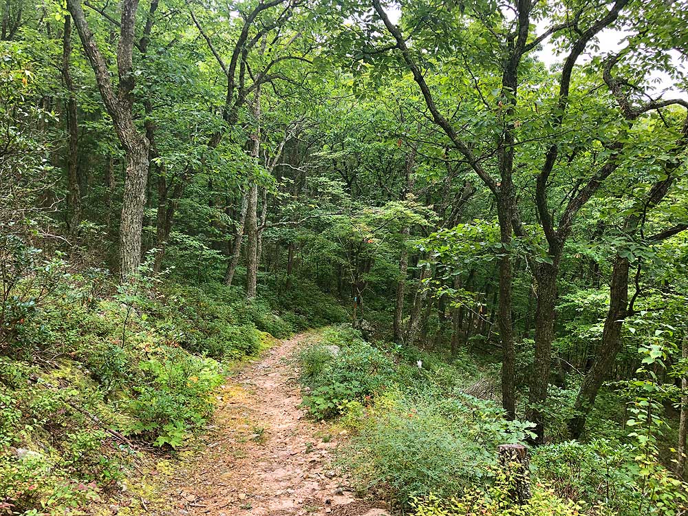
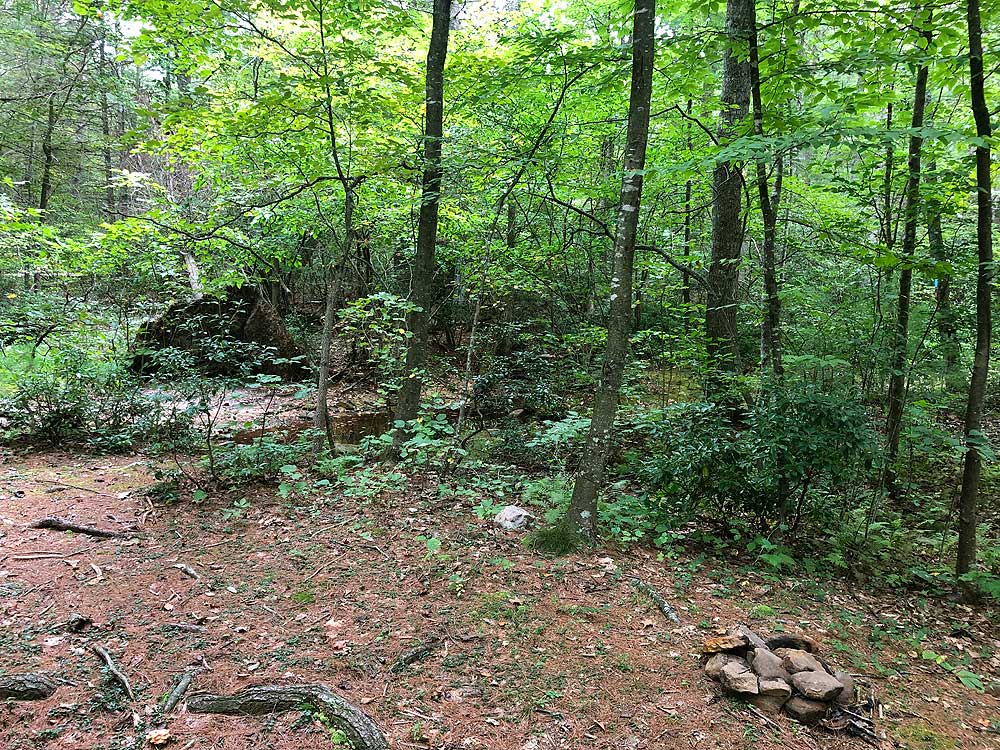
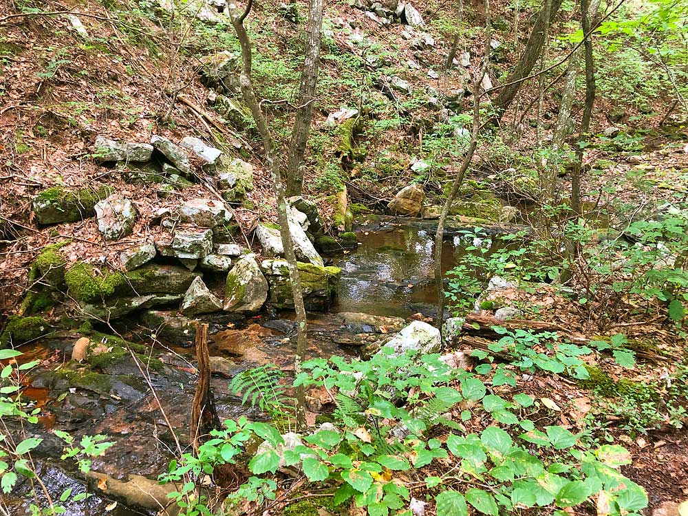
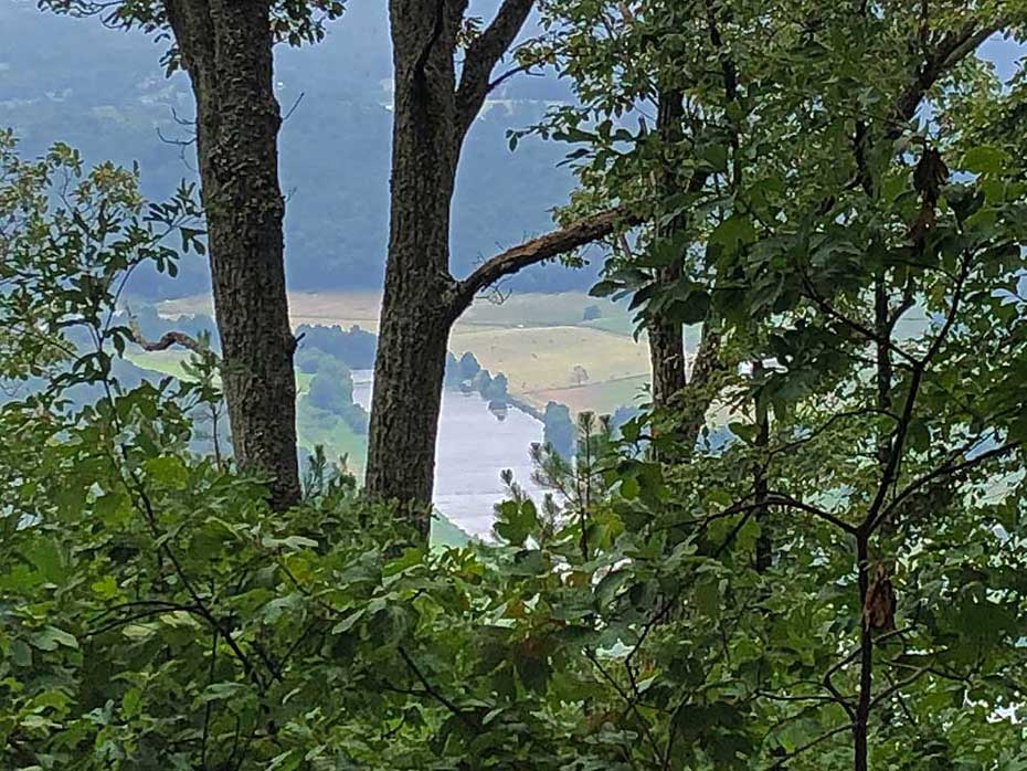
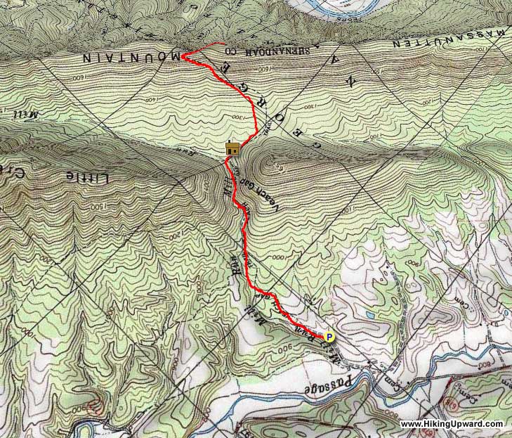
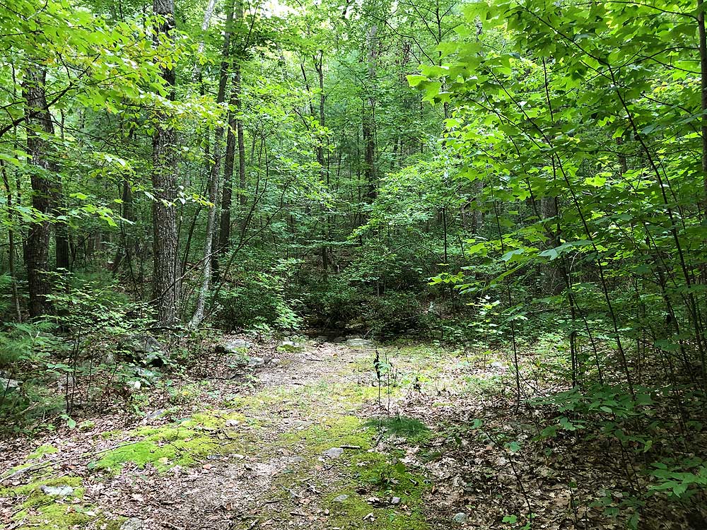
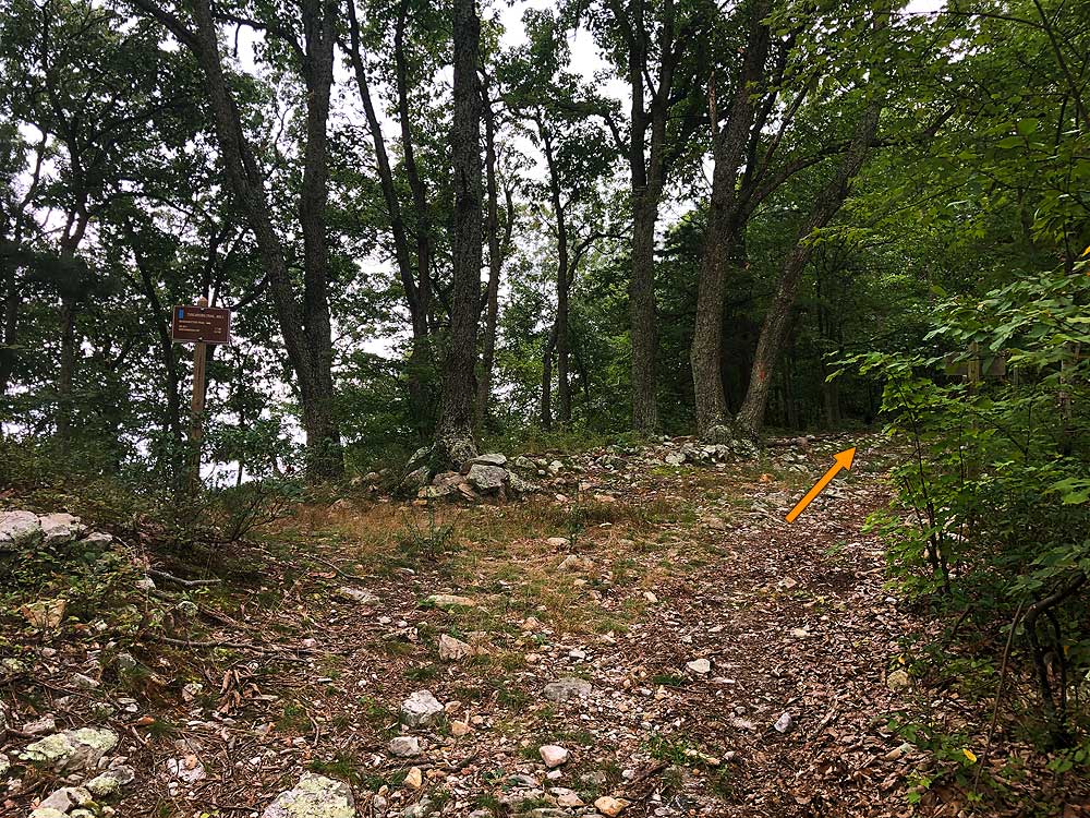
 One of two hikes that start a the Veach Gap parking area, this route takes you south on the Massanutten/Tuscarora Trail to the Massanutten Mountain ridgeline and large campsite with views through the trees of the south fork of the Shenandoah River. The campsite at the high point and turnaround for this hike is suitable for multiple tents. Another camping opportunity is the Little Crease Shelter with large fire ring and privy, or the campsite where you cross Mill Run 100 yards downhill. One of two hikes that start a the Veach Gap parking area, this route takes you south on the Massanutten/Tuscarora Trail to the Massanutten Mountain ridgeline and large campsite with views through the trees of the south fork of the Shenandoah River. The campsite at the high point and turnaround for this hike is suitable for multiple tents. Another camping opportunity is the Little Crease Shelter with large fire ring and privy, or the campsite where you cross Mill Run 100 yards downhill.
As a shorter out/back hike this is a great last minute backpacking hike, and this section of the Massanutten/Tuscarora is more secluded than hikes to the north and further south. An other option is the Veach Gap/South Fork Overlook hike. Slightly is longer at 7.0 miles but has better views of the river. |


