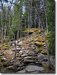
This is a longer hike that combines features of Dolly Sods North and Forks of Red Creek for an extended loop which hits the major attractions of northern Dolly Sods, including waterfalls and swimming holes along Red Creek as well as sweeping vistas and rugged highlands along Rocky Ridge and Raven Ridge. This route can be completed as a single all-day hike or as a more leisurely out-and-back overnight trip. Boggy sections of trail are unavoidable in Dolly Sods so gaiters are recommended, although this hike specifically avoids the notoriously wet Dobbin Grade Trail.
Be aware that weather on the Dolly Sods plateau can change rapidly, so pack accordingly. The US Forest Service provides a webcam view and meteorology reports for Dolly Sods online that you can use to check the latest conditions.
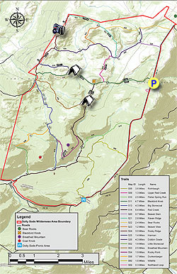
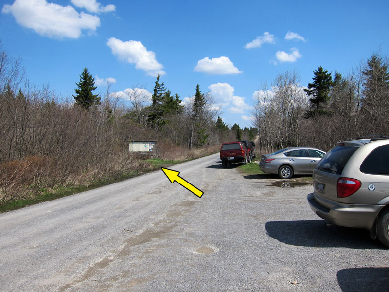
Mile 0.0 – Cross Fire Road 75 to the Blackbird Knob trailhead (Tr #511), marked by a large notice board. Start the hike by following a short boardwalk as the trail enters the Dolly Sods Wilderness Area.
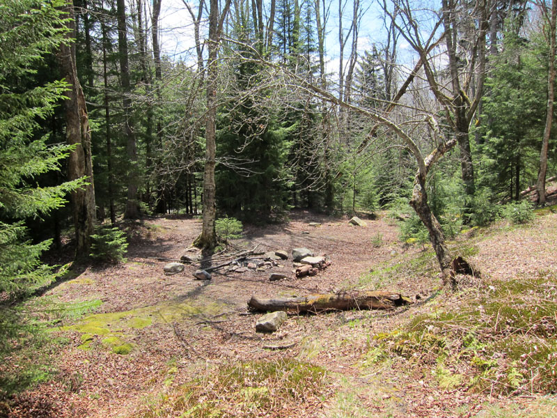
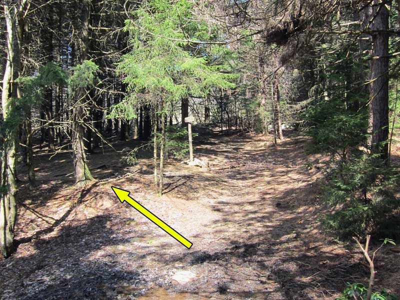
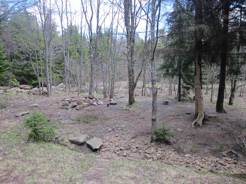
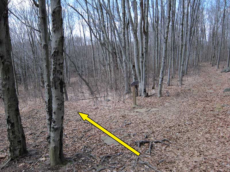
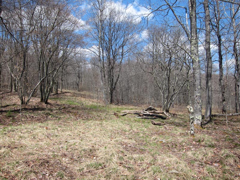
Mile 1.0 – The trail veers left at a wooden trail sign shortly before opening onto several small clearings with views to the southwest. After descending into a small valley, cross Alder Run at a small campsite with several stone chairs.
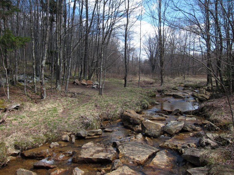
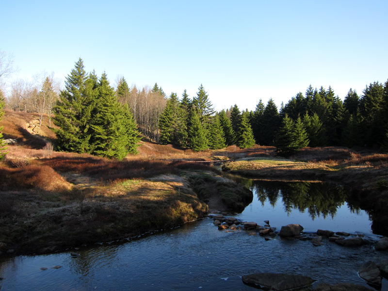
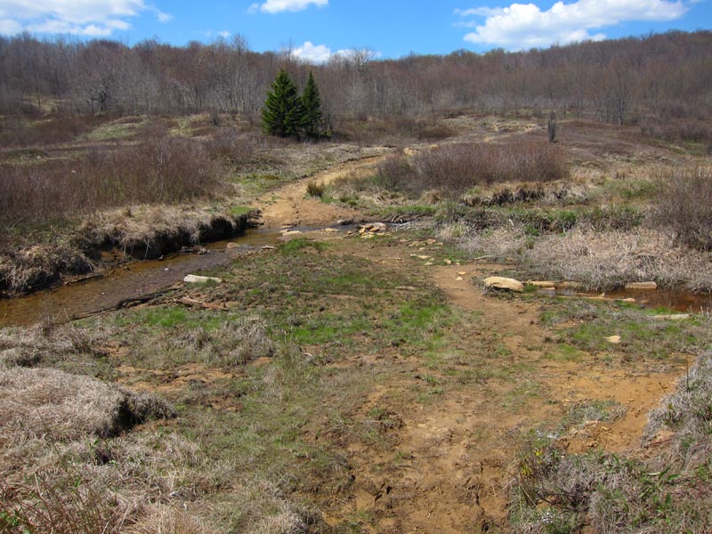
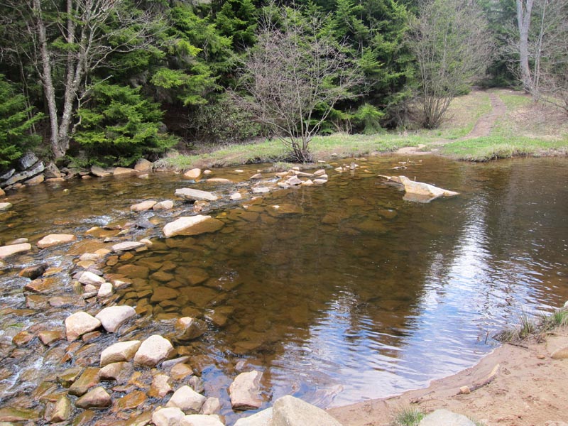
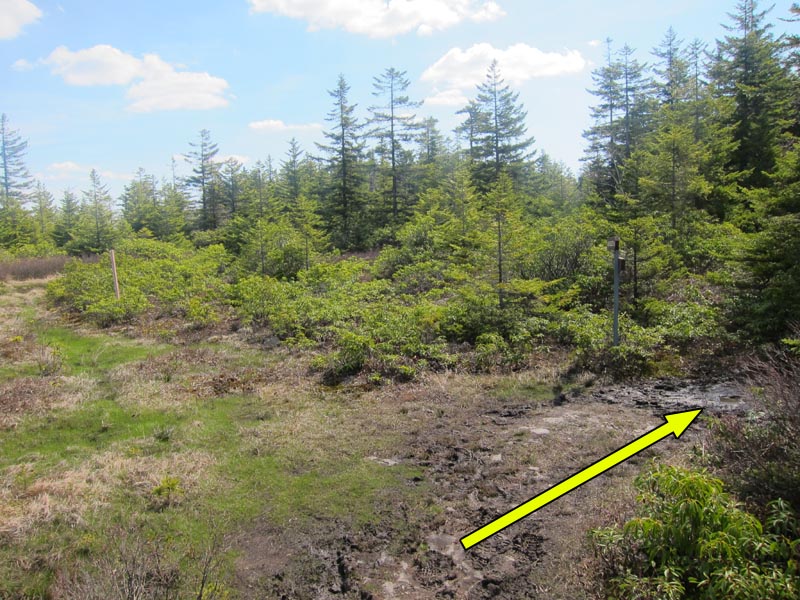
Mile 1.6 – The trail skirts a low ridge before crossing Red Creek. The crossing point features a waist-deep pool and several good campsites, including a few on an oxbow island in the middle of the stream. Red Creek can run high at times, so be prepared to wade across if necessary.
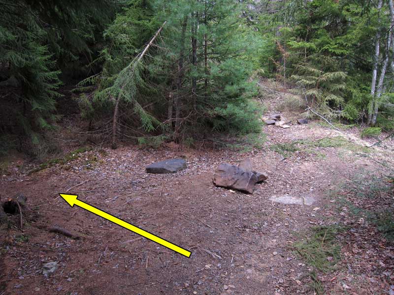
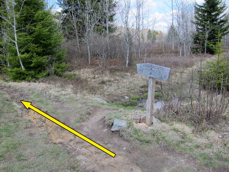
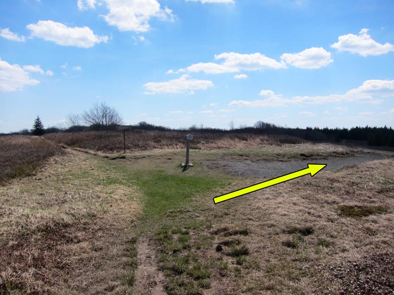
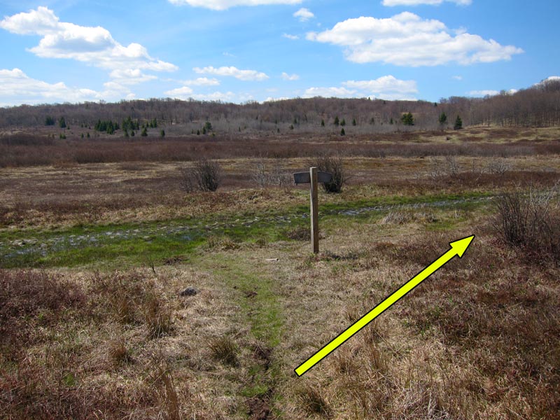
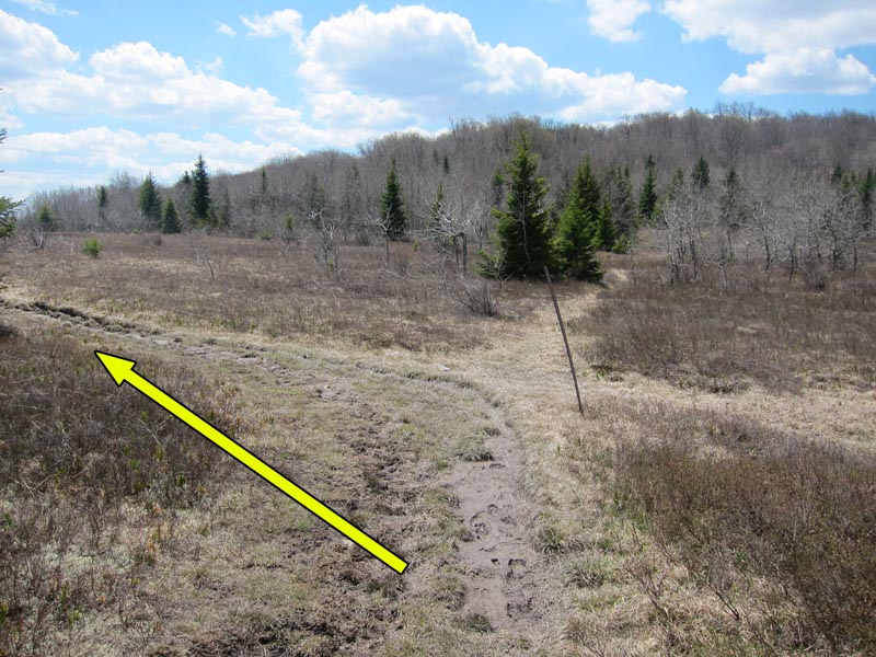
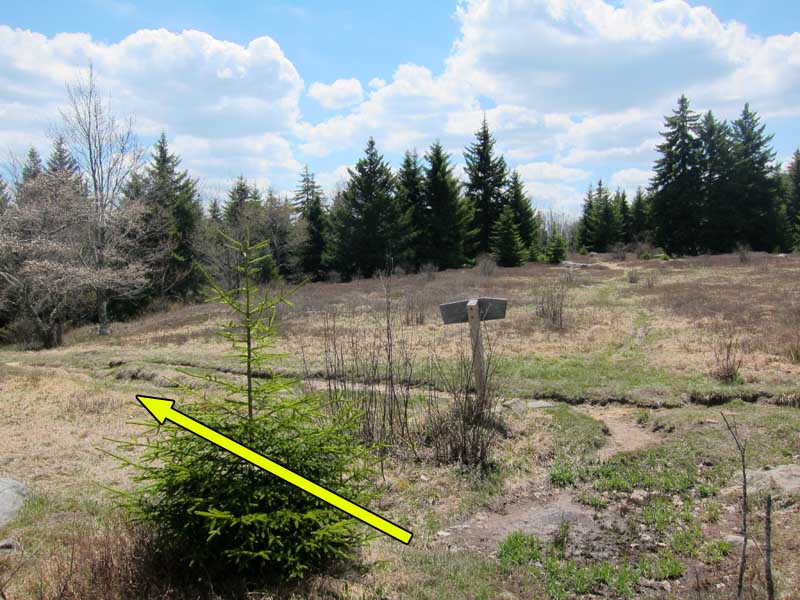
Mile 1.8 – Shortly after crossing Red Creek come to an ‘intersection’ marked by several medium sized rocks in the trail. Take an immediate left and follow a set of cairns up a rock staircase. The trail will emerge onto an open clearing and an intersection with Upper Red Creek Trail (Tr #509) to the right, which you will return on later. Stay on Blackbird Knob Trail and continue straight across the clearing.
Mile 2.1 – Turn left onto Red Creek Trail (Tr #514) at the intersection with Blackbird Knob Trail for a short (~1.8 mile round trip) detour to the Forks at Red Creek.
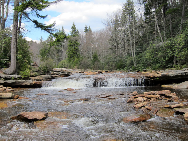
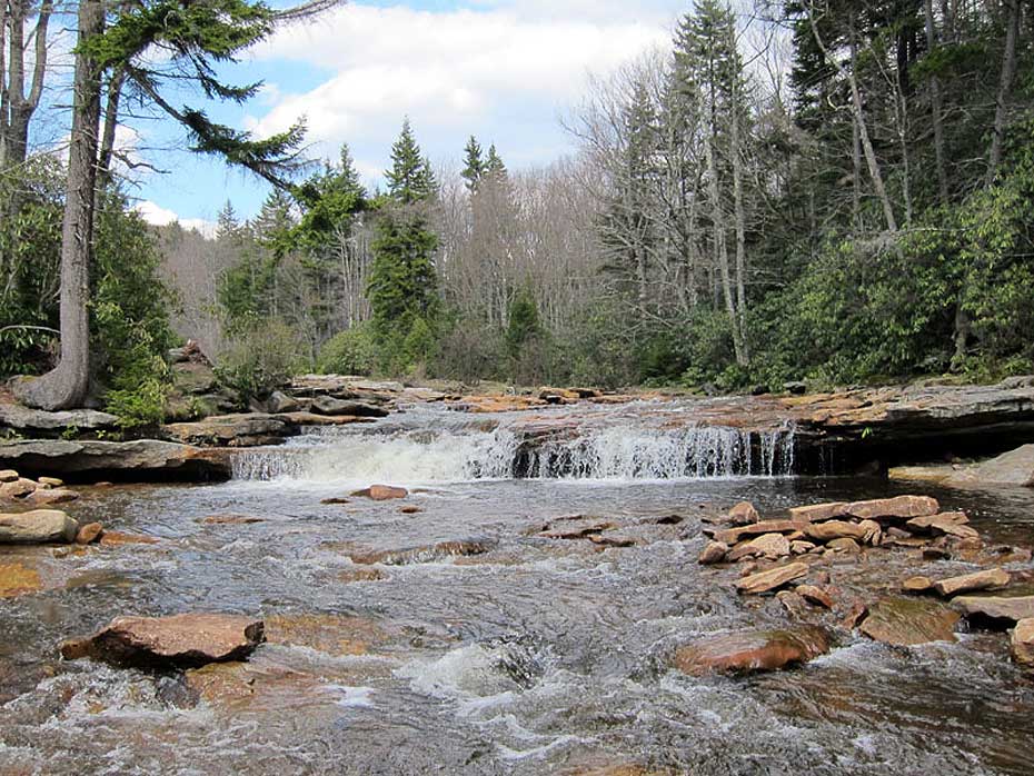
Mile 3.0 – Pass through several meadows before reaching the Forks of Red Creek, where the two creek branches draining central Dolly Sods merge into a broad waterfall and large pool. The pool is an excellent spot to cool off in the summer with numerous campsites available along the riverbank. After enjoying the Forks, return back up Red Creek Trail to the intersection with Blackbird Knob Trail and turn left to continue following Blackbird Knob Trail west.
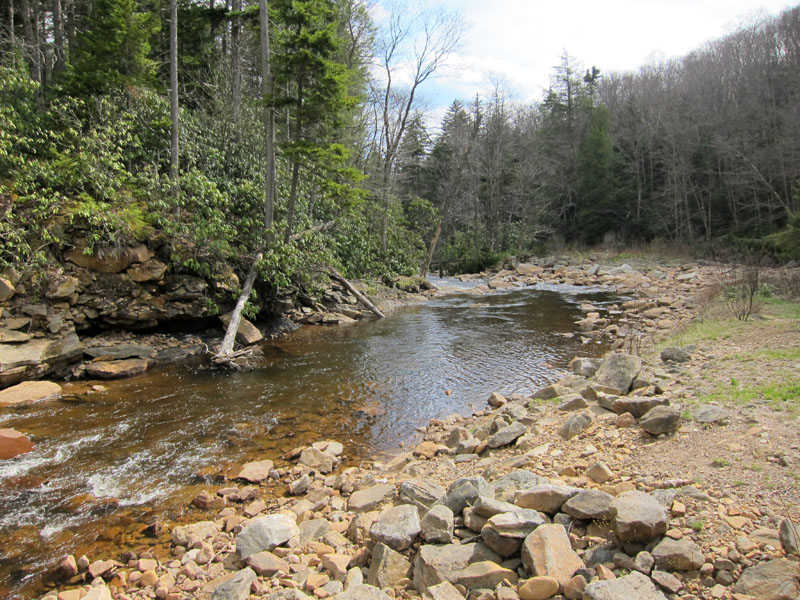
Mile 4.6 – The trail crosses the Left Fork of Red Creek at a small clearing. Several good campsites are located in the trees and along the creek bank. The trail further on is more exposed with fewer water sources, so this is a good spot to overnight if backpacking.
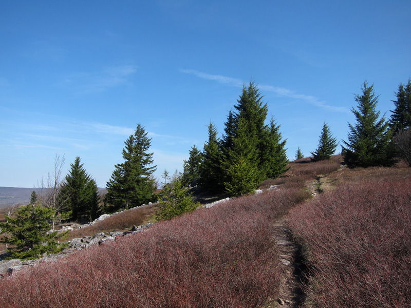
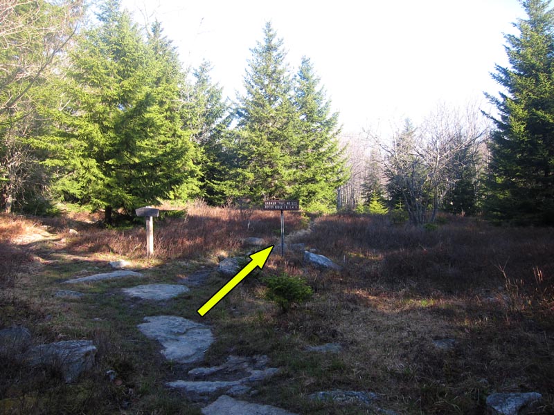
Mile 6.2 – Cross the Left Fork and in 300 yards reach an intersection with Harman Trail (Tr #525). Turn right onto Harman Trail and follow it through scattered meadows and mountain laurel to an intersection with Rocky Ridge Trail (Tr #524) on the western edge of the Dolly Sods. Turn right and follow Rocky Ridge Trail north along the ridgeline.
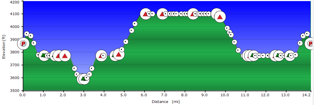
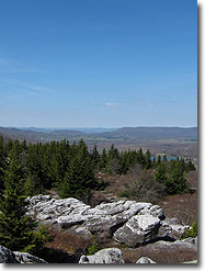
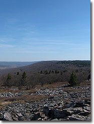
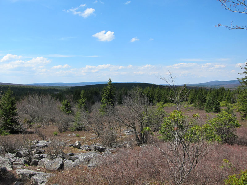
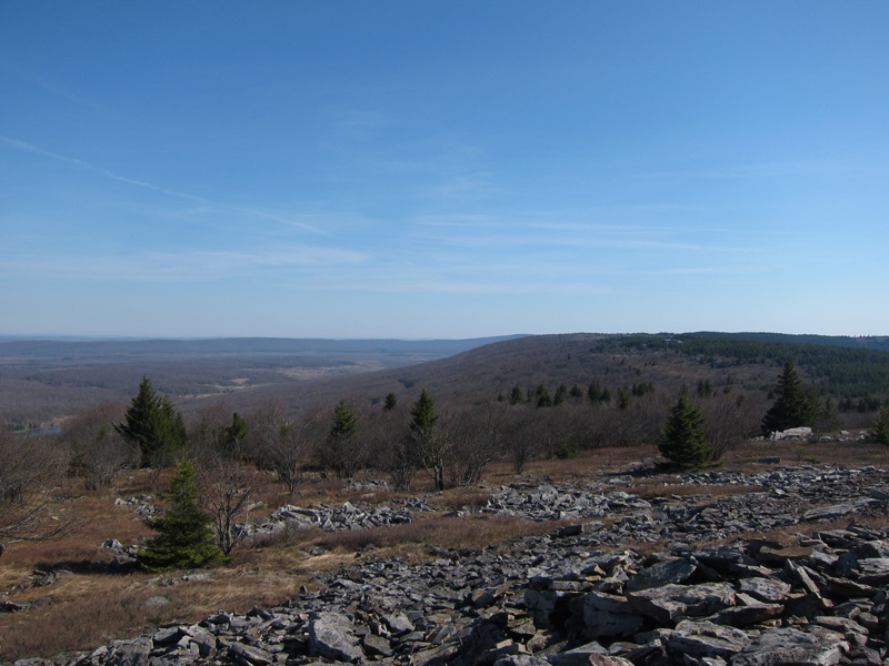
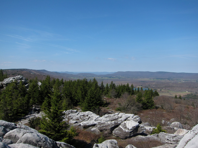
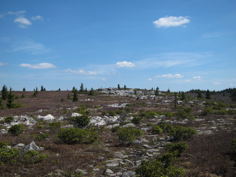
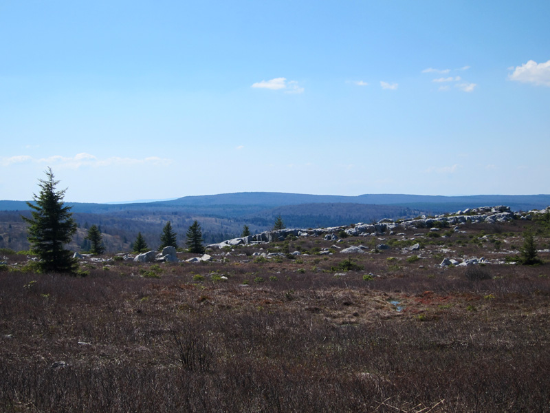
Mile 6.5 – The Canaan Valley opens up to the west as the trail reaches the peak of Rocky Ridge. This is the highest point on the hike at ~4180 feet above sea level. Numerous rock piles and weathered sandstone outcroppings dot the ridge line. Continue straight at an intersection with Dobbin Grade (Tr #526) and follow the ridge line as the trail passes through larger weather-carved rock formations, several of which provide dramatic views of Canaan Valley.
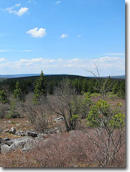
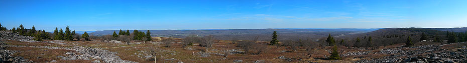
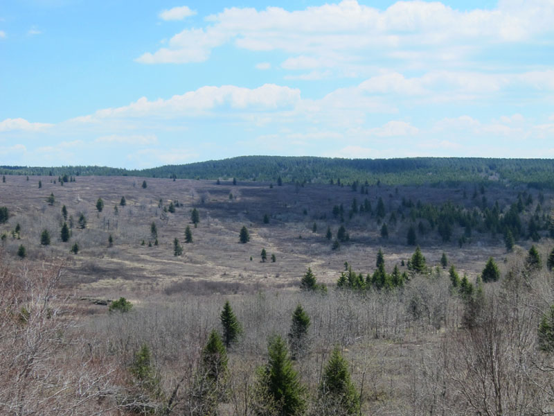
Mile 8.2 – The trail leaves the rock formations for the rugged, windswept highlands of the northern Sods. The signature landscape of the Dolly Sods, this harsh, rocky landscape is more reminiscent of New England or Canada than the forests of the mid-Atlantic. Looking back towards the south offers views along the crest of Rocky Ridge and across the Red Creek valley at the center of the Dolly Sods plateau.
Mile 8.6 – Reach the northwest border of the Dolly Sods Wilderness Area and private property to the north. Turn right onto Raven Ridge Trail (Tr #521).
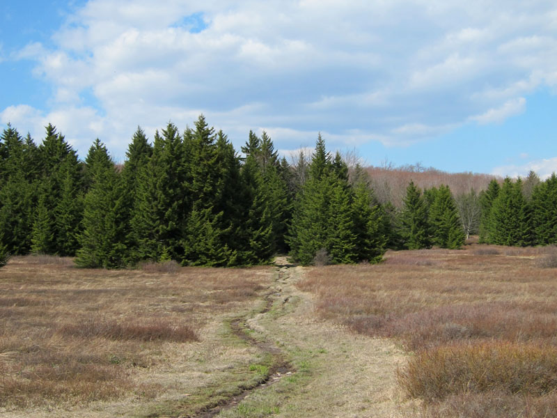
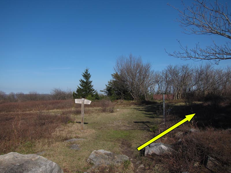
Mile 10.0 – The trail makes a signed detour through spruce woods before emerging on open meadows with views of the upper Dolly Sods. Beaver View Trail (#523) eventually intersects the trail from the south. Stay straight on Raven Ridge Trail. 350 yards after the intersection with Beaver View Trail, keep right at the intersection with Bear Rocks Trail (Tr #522) and continue following Raven Ridge Trail as it curves southeast.
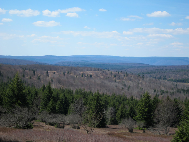
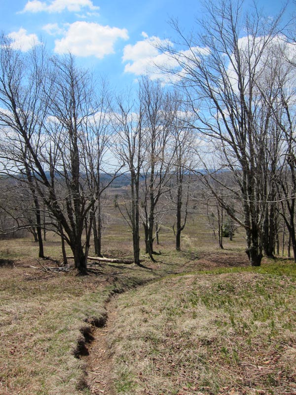
Mile 10.8 – Descend into the Red Creek valley at the center of the Dolly Sods. This section of trail boasts panoramic views of the central plateau as the trail follows the tail end of the ridge into the valley.
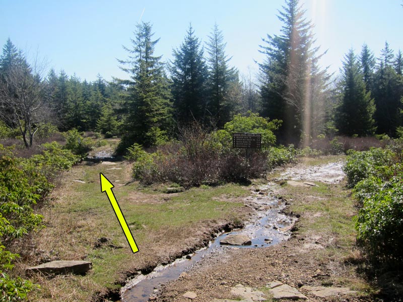
Mile 11.5 – At the bottom of the ridge Raven Ridge Trail ends at an intersection with Dobbin Grade Trail (Tr #526). Turn right onto Dobbin Grade and follow it a short distance before turning left onto Upper Red Creek Trail (#509). The trail immediately crosses Upper Red Creek and then climbs up a short gully with several views back to the north across the Red Creek valley. A campsite is located a few hundred yards up the hill within the trees.
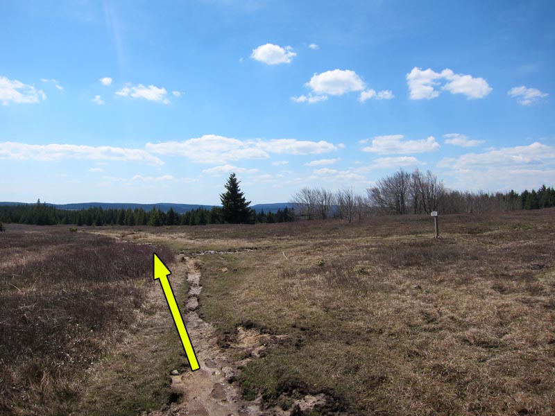
Mile 12.4 – The trail crosses a boggy section before coming to an intersection with an unofficial trail, which continues south towards the summit of Blackbird Knob. Make a hard left to continue following Upper Red Creek Trail.
Mile 12.8 – The trail intersects with Blackbird Knob at the clearing previously visited at Mile 1.8. Turn left onto Blackbird Knob Trail to return towards the Blackbird Knob parking lot.
Mile 13.0 – Descend the stone staircase and cross Red Creek, and in another half mile cross Alder Run as the trail continues east.
Mile 14.6 – Finish the hike at the Blackbird Knob parking lot starting point.
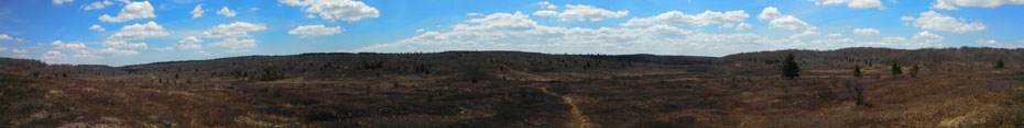
Panoramas
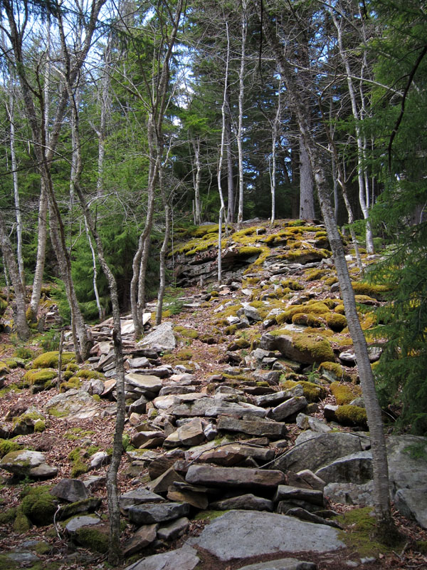
Early May
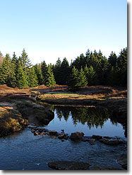
Red Creek
Blackbird Knob Hike Comments
Archived Comments
By:Dan
Rating:
Date of Hike: Saturday, September 14, 2019
Note that the creeks were running pretty dry this weekend. We planned to camp at the sites described at mile 4.6, but found the water pretty stagnant. As this is the last water source described, I would plan accordingly. Also note that within the first .2, you need to really pay attention as there is a really easy to miss turn to your left. Note that there is a row of rocks on the ground signalling you not to go straight, but they are not obvious. If you start down what feels like a very non-maintained trail that eventually comes to a large set of cairns. Turn around.
By:Ashton
Rating:
Date of Hike: Sunday, November 8, 2015
Two day hike in Dolly Sods - started on 522, then went to 526 Dobbins Meadows which was super wet and boggy but the terrain was cool. In some places it felt like we were walking on a trampoline, which was composed of red sphagnum moss. We crossed a stream and got on 509 which went uphill into forest and then onto another meadow. 509 intersects with 511 - blackbird knob. We went left on 511 and there is a campsite about a hundred yards down in a pine forest, great location. We hiked out on blackbird knob (towards forest road 75) in the morning. Went through multiple unique landscapes and it was a gradual uphill climb most of the way but not difficult. Every trail we went on was muddy, be prepared to get your feet slightly wet. Highly recommend this trail and dolly sods in general.


