|
| Length |
Difficulty |
Streams |
Views |
Solitude |
Camping |
| 13.5 mls |
 |
 |
 |
|
|
Hiking
Time:
Elev. Gain:
Resources: |
8.0 hours, including a lunch break
1,600 ft
 Topo Hike Trails Map (PDF) Topo Hike Trails Map (PDF)
Edray WV Weather Forecast
Garmin (GDB), Gaia/Trails App (GPX) (What's
this?)
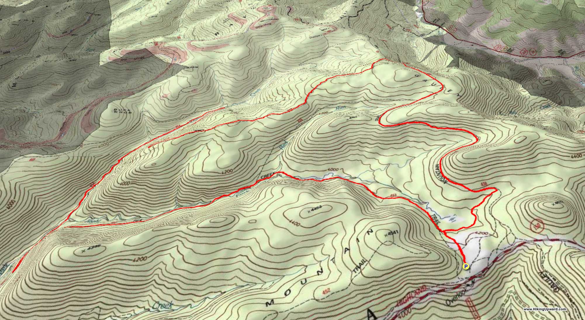
3D View of Route |
 By Trail Contributor: Jeff Monroe (Email Jeff) By Trail Contributor: Jeff Monroe (Email Jeff)
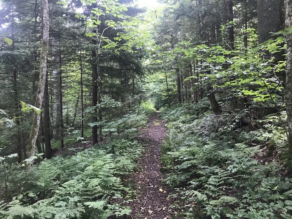
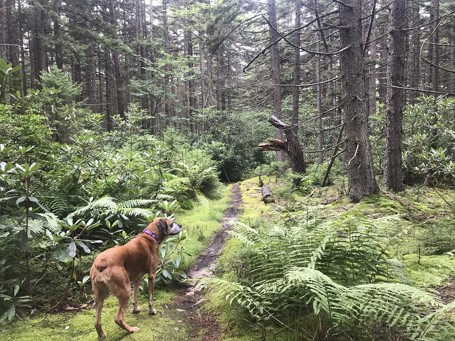
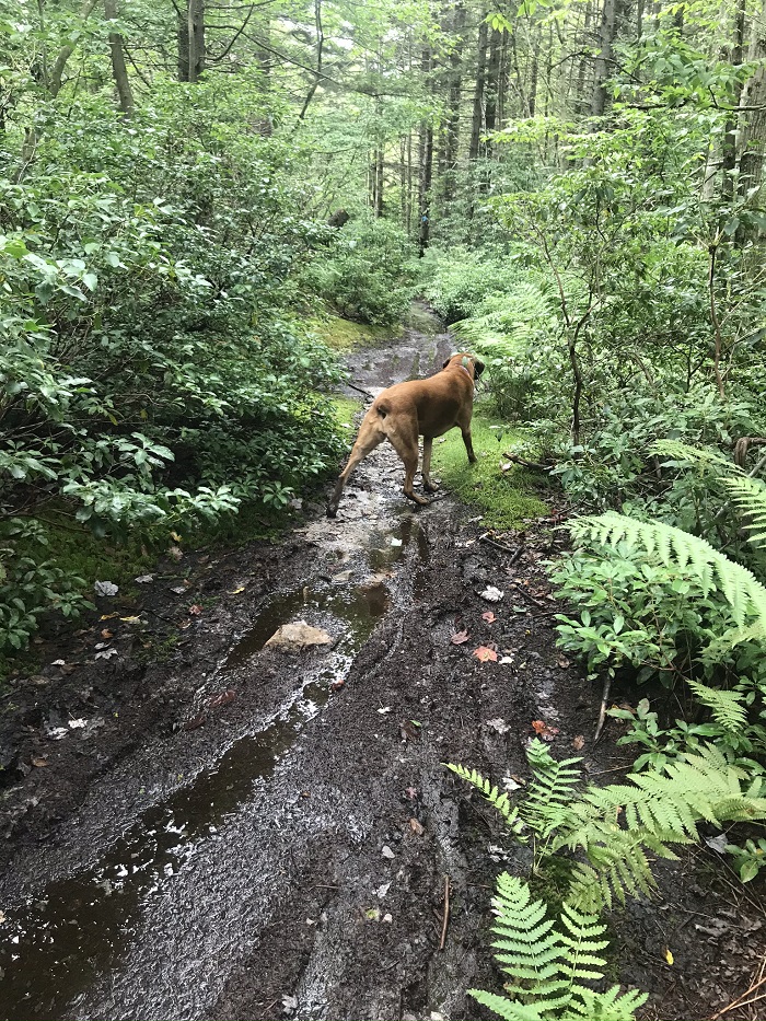
This hike in the Tea Creek area of the Monongahela National Forest starts high, drops down mid-way, and then slowly regains elevation over the last third of the hike. Like other hikes in both Tea Creek and nearby Cranberry Wilderness, trails are soggy during the driest times. Downpours are common and stream crossings frequent; expect wet feet because your Gore-Tex boots are not going to cut it here. One hiking colleague happily traversed this loop in Chaco sandals.
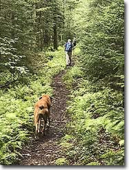
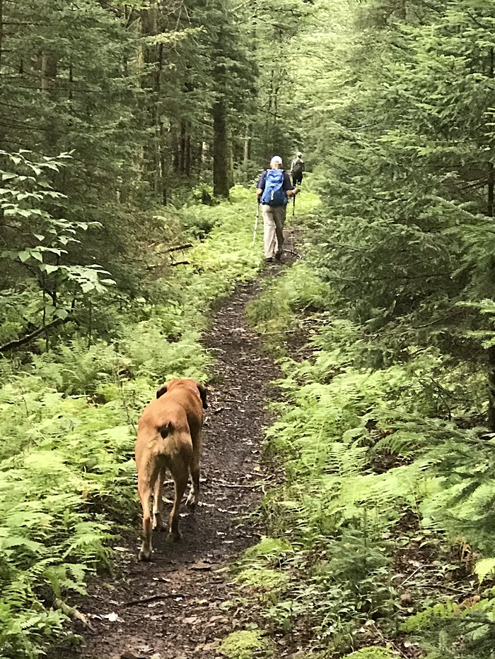
Note also that this is a well-known mountain biking area. You may encounter bikers and you will certainly see their tracks in the muddy trail. Always be alert, however we crossed paths with no trail users of any kind hiking this loop on a Saturday in August.
Like the other Tea Creek loop described in HikingUpward, there are few campsites along this loop. There are two Adirondack style shelters on this loop and all potential flat sites are identified in the trail description. The best campsite is behind the shelter located on Tea Creek.
-
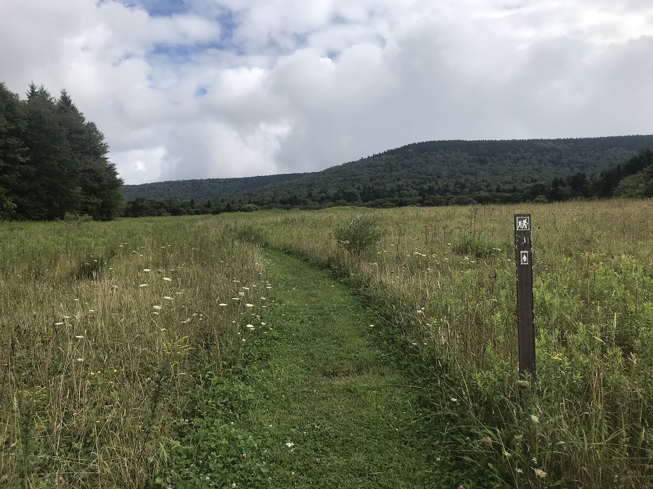
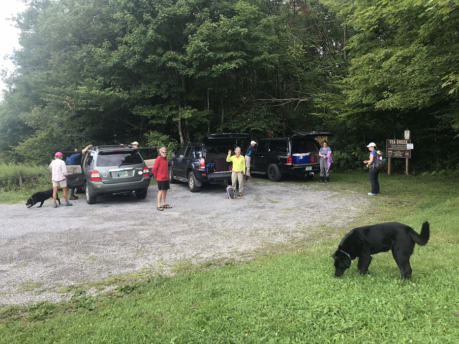
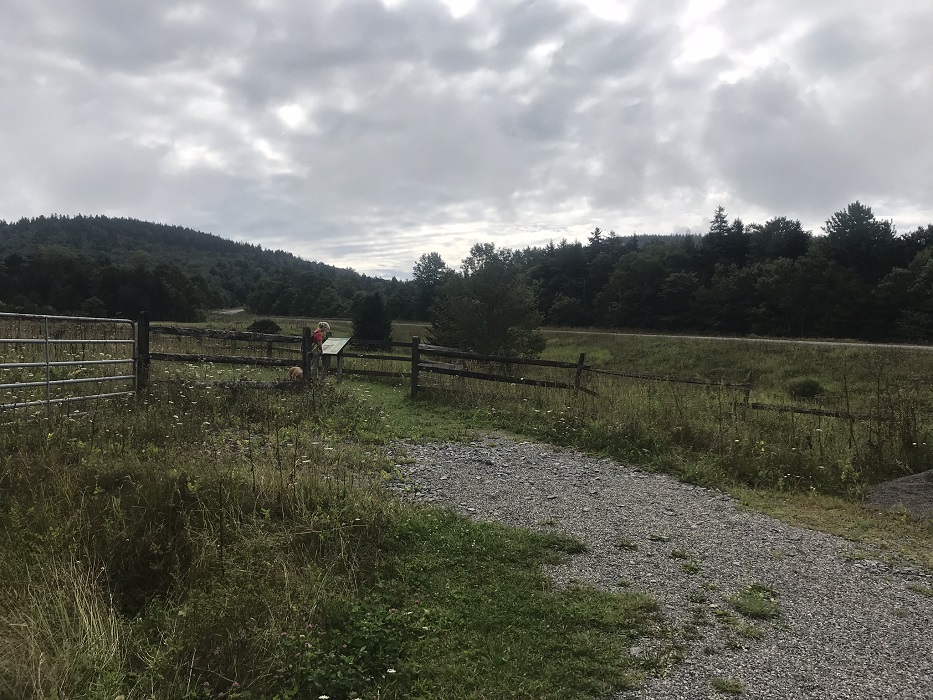
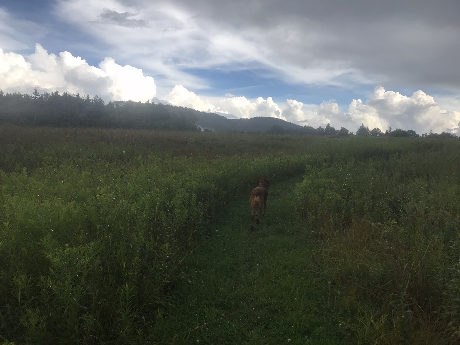
Mile 0.0 – Start the hike in a parking area just off of the Highlands Scenic Highway that holds 8-10 vehicles. Be sure to check out the Little Laurel Overlook across the highway from the trailhead at the beginning or end of this hike, as you will find the best vistas in this area on turnoffs from the highway. The overlook also has a picnic table and a set of privies. At the trailhead, there is a kiosk and trail sign for the Tea Creek Mountain Trail, but this loop is not using that trail. Instead, start the hike by going through the gate at the beginning of the parking lot and follow the metal signs through the meadow.
-
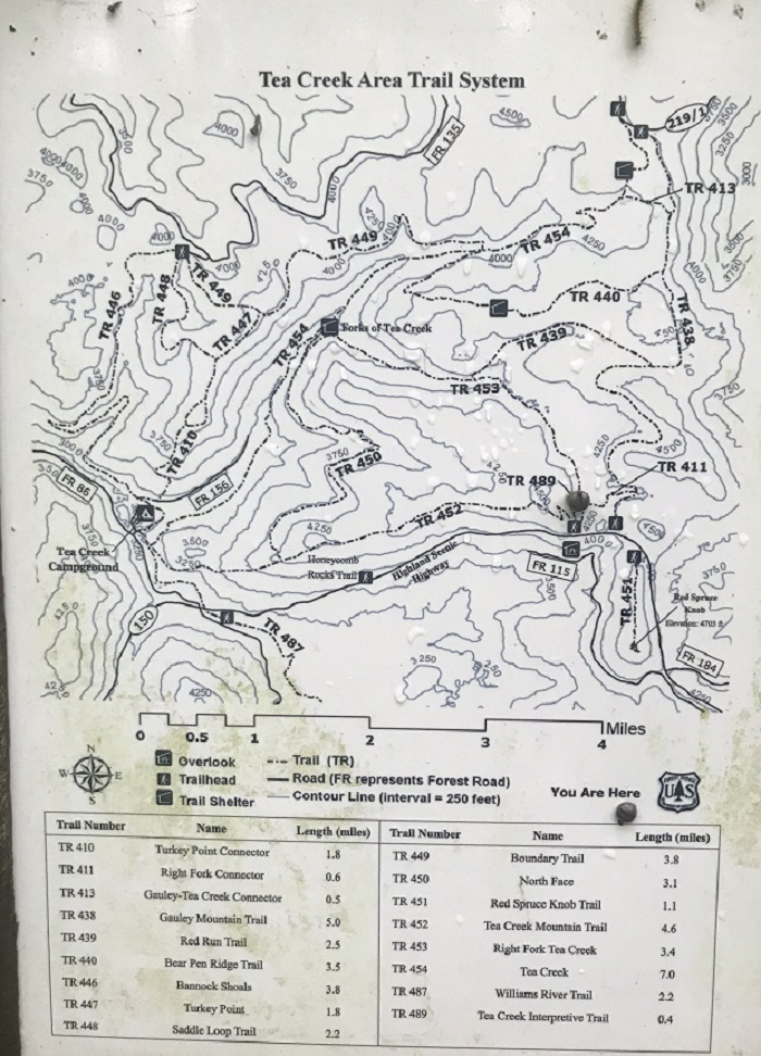
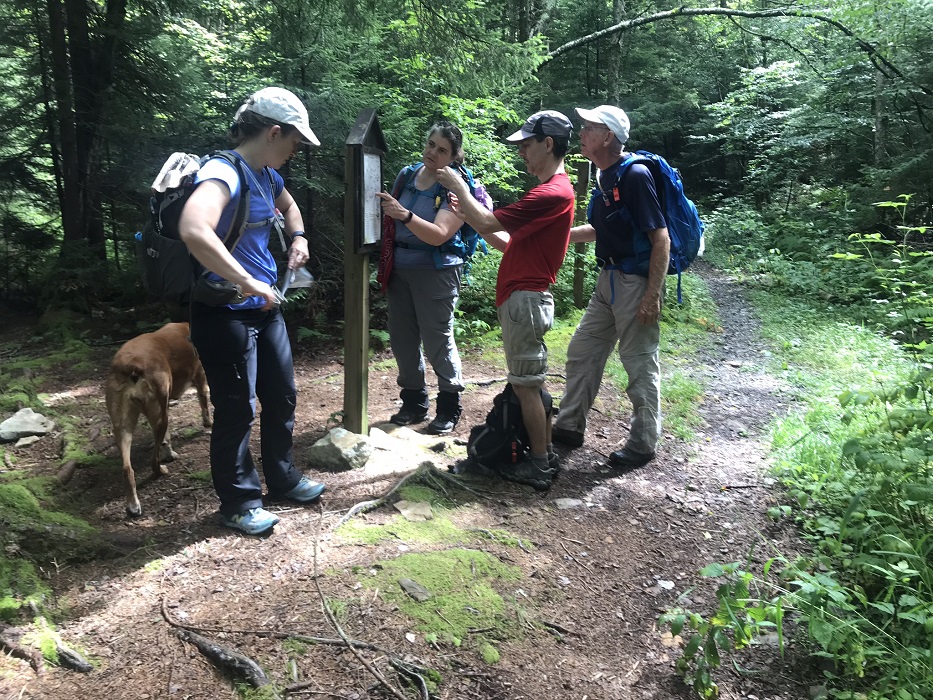
Mile 0.3 – Drop somewhat steeply after the meadow turns to forest and come to a trail intersection that includes a trail map of the area– these maps are common at major trail intersections in the Tea Creek area. Turn right here onto the Right Fork Connector Trail (TR 411) and hike through some dark spruce woods. You will return to this spot at the very end of this loop hike.
-
Mile 0.4 – Pass the intersection for the Tea Creek Interpretive Trail (TR 489), continuing straight.
-
Mile 0.9 – The Right Fork Connector Trail ends at an intersection with the Gauley Mountain Trail (TR 438). Take a left onto the Gauley Mountain Trail.
-
Mile 1.7 – Pass through a small meadow, providing a rare glimpse to the sky on this loop. The trail on this part of the loop is relatively level, following contours as it zigzags north.
-
Mile 3.3 – The eastern end of the Red Run Trail (TR 439) meets the Gauley Mountain Trail here. For a shorter version of this loop, you can take the Red Run Trail 1.8 miles, where it ends at the Right Fork Tea Creek Trail (TR 453), then take a left two miles back to your vehicle, for a loop of 7.1 miles. (Note that the posted trail maps state that TR 439 is 2.5 miles long – it is not. It is 1.8 miles long.) For the longer hike described here, continue straight on the Gauley Mountain Trail, passing over the first of two high points on this hike.
|
-
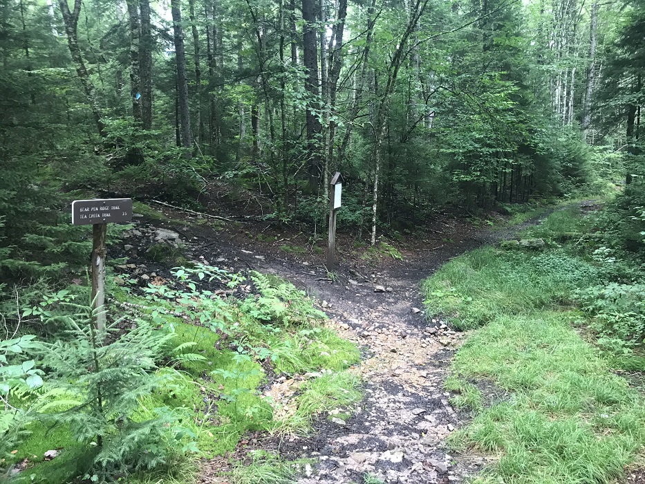
Mile 4.2 – Turn left on the Bear Pen Ridge Trail (TR 440). You now leave the Gauley Mountain Trail, which continues another 1.4 miles until it ends at a Forest Service Road. Over the next 3/10 mile, the Bear Pen Ridge Trail climbs up to the second of two high points on this loop. Despite the relatively high elevation, the trail remains wet much of the time.
-
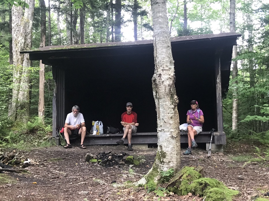
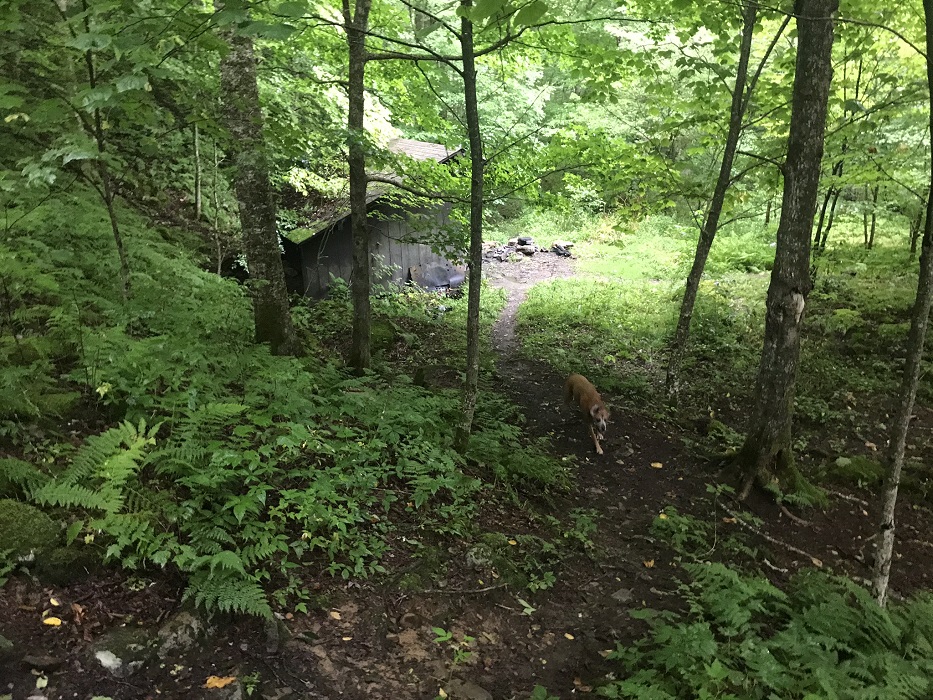
Mile 5.9 – The trail passes the first of two Adirondack style shelters found along this loop, in a clearing so small that it would be hard to stick a tent on the ground here. This is the more remote, and therefore more likely to be unoccupied, of the two shelters you encounter on this loop.
-
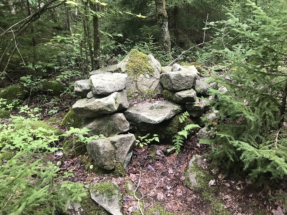
Mile 6.4 – Pass a small chair made of flat rocks piled on each other. After this point, the trail drops over 900 feet over the next 2.8 miles– descending gradually until you reach the second shelter.
-
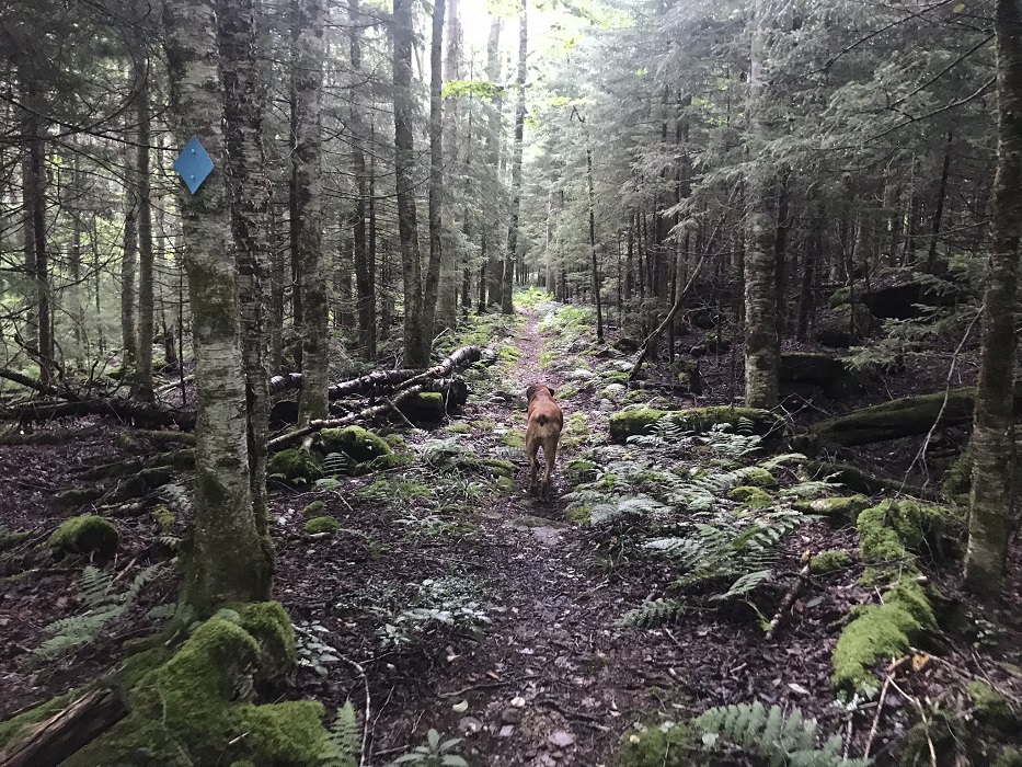
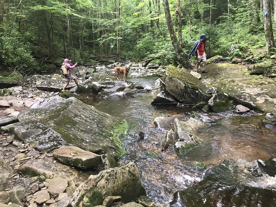
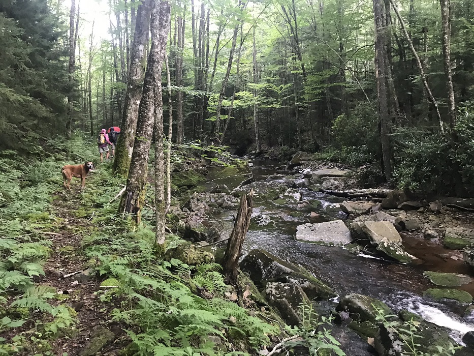
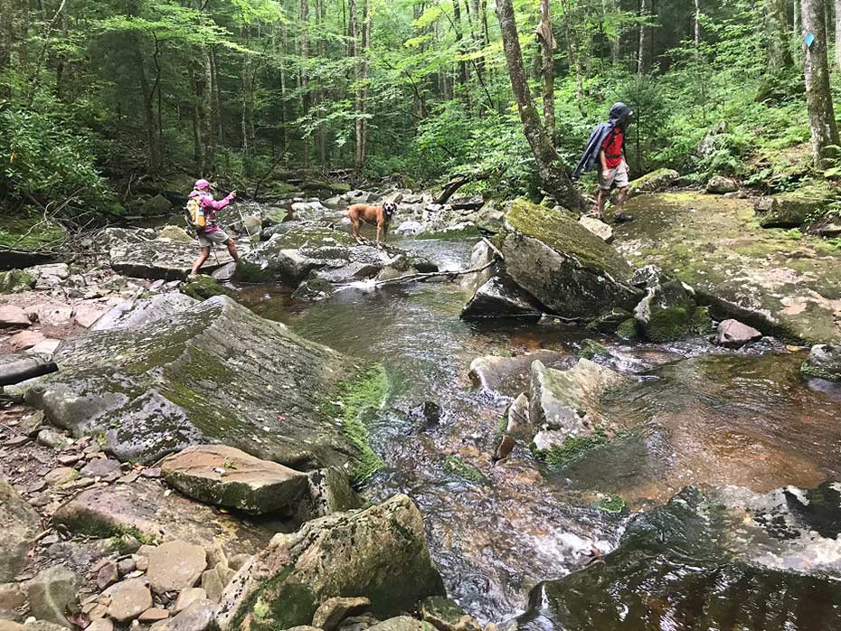
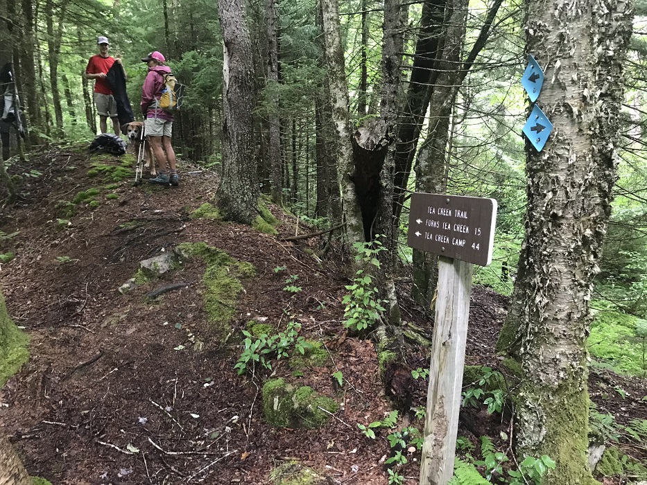
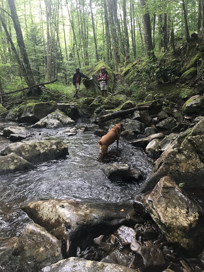
Mile 6.6 – Descend to an intersection with the Tea Creek Trail. You will follow Tea Creek for the next 1.7 miles of this loop, though it often feels like you are hiking in Tea Creek. This trail closely follows Tea Creek, with eight creek crossings, along with a crossing of the Right Fork Tea Creek. None of these crossings will prove easy most of the year. Your hike pace will be its slowest during this part of the loop, as you stop to negotiate the best way to make it across Tea Creek without getting dunked. When crossing, the rocks can be slick and the stream banks high. Keep an eye out for blue diamonds to help you determine whether to cross. And while you are at it, also keep an eye out for something else blue – the rare Blue Crayfish (Cambarus monongalensis) – not much bigger than your thumb. One of the hikers in our group found one on this trail section, though they are usually burrowing underground.
-
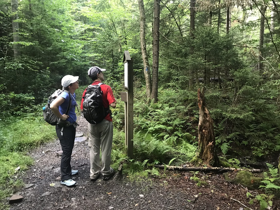
Mile 8.4 – Your last crossing is over the Right Fork of Tea Creek, at the lowest elevation of this hike. After this crossing, come to a somewhat confusing trail intersection on your left. The maps indicate that this is the Right Fork Tea Creek Trail (TR 453), which later meets North Face Trail (TR 450). But the sign seemed to indicate that the trail was the North Face Trail. Either way, turn left onto the side trail, and quickly start gaining elevation while passing behind and above the second Adirondack shelter. As you pass the shelter downslope on your right, look to the left for the best campsite on this loop, with room for 3-4 tents. This campsite is not visible from the more popular Tea Creek Trail below.
-
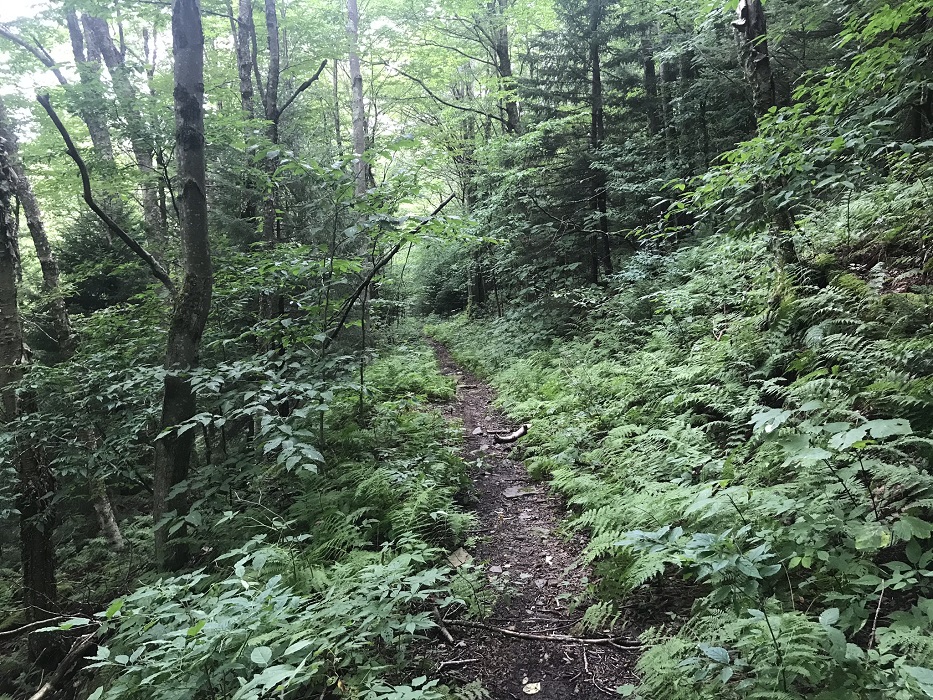
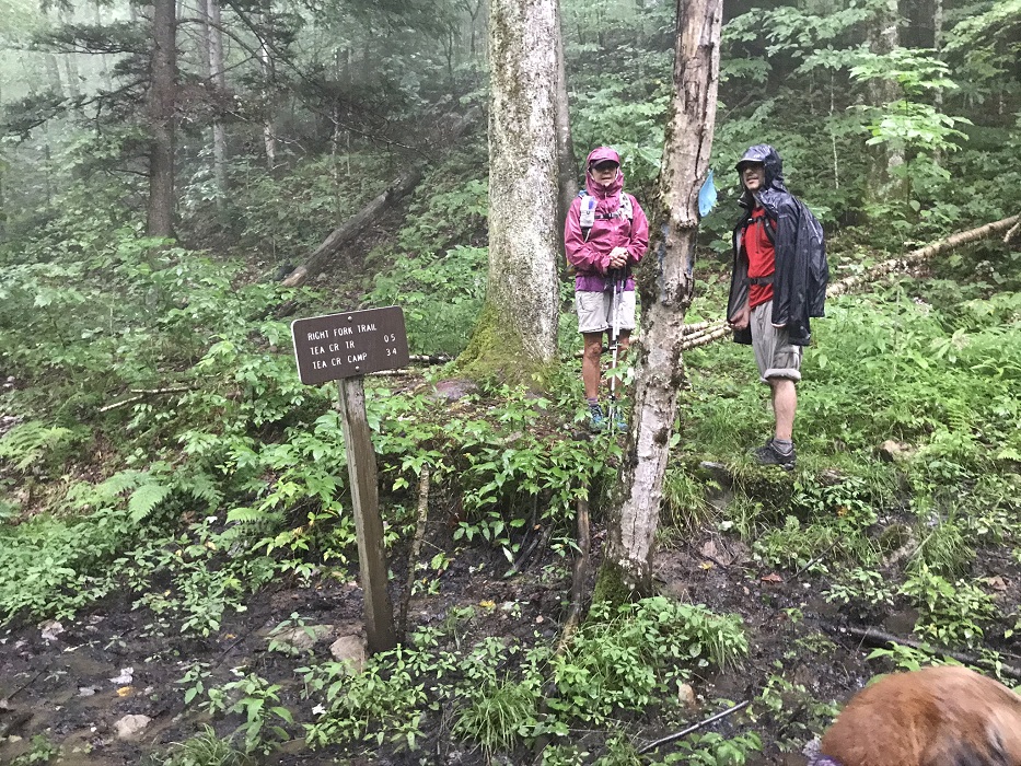
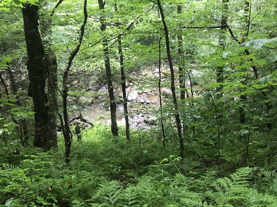
Mile 8.9 – Keep an eye out for a trail sign denoting the “Right Fork Trail.” (This would seem a better name than the unwieldy “Right Fork Tea Creek Trail” shown on maps.) At this sign, you switchback up the mountain, while the North Face Trail heads straight ahead. The trail continues to climb using an old railroad bed, and turns to parallel the Right Fork Tea Creek, which you crossed just before the shelter. For more than a half mile, the trail is much higher than the creek, but you can look down to see the water tumbling over and around rocks from the trail high above.
-
Mile 11.2 – Cross the stream you observed earlier from above.
-
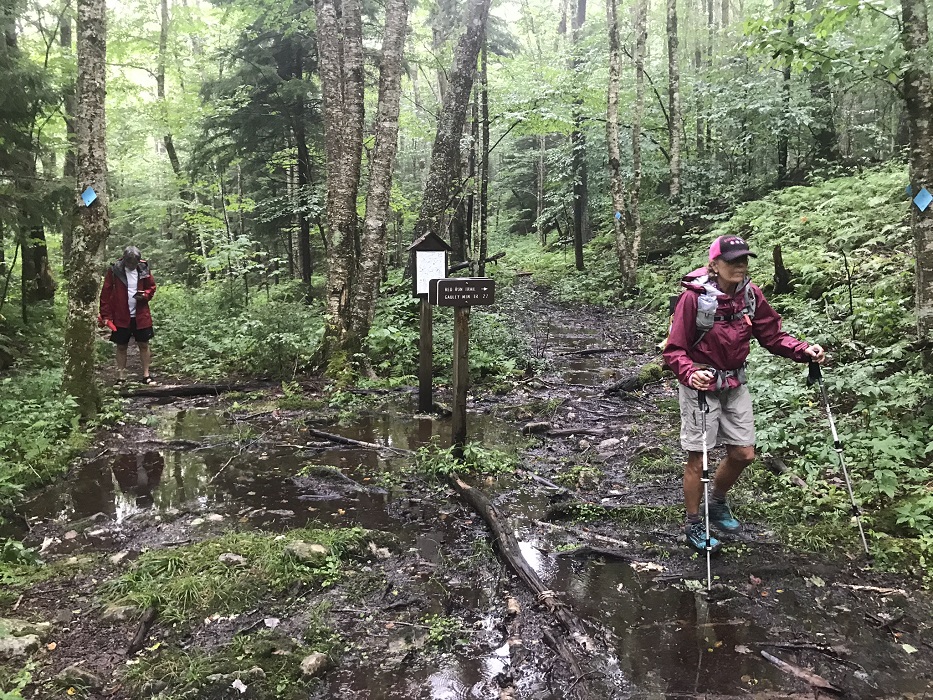
Mile 11.5 – Pass the western end of the Red Run Trail (TR 439). Early in this loop you passed the eastern end of this same trail.
-
Mile 11.6 – Cross the Red Run stream.
-
Mile 11.8 – Cross Right Fork Tea Creek again, and shortly afterward, pass a small campsite.
-
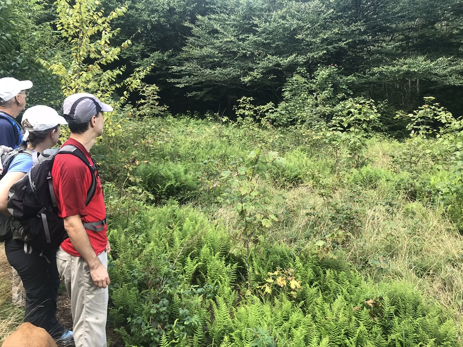
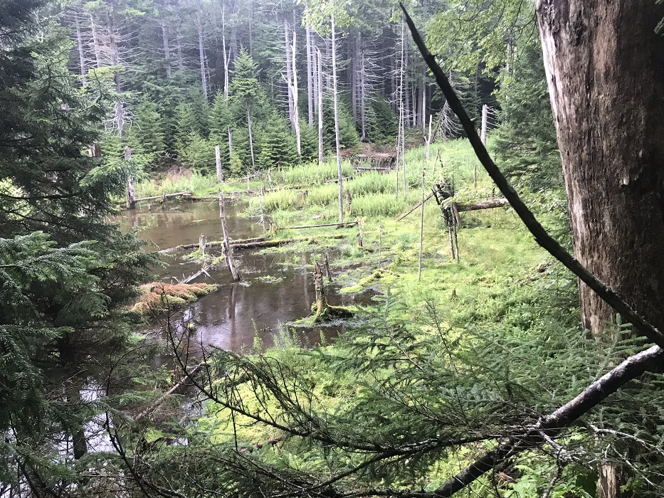
Mile 13.2 – Come to the intersection with the Right Fork Connector Trail (TR 411) after passing a small pond and evidence of lots of beaver activity. Keep straight, ascend steeply for a brief period, then come out on the meadow you passed through at the very beginning of this hike.
-
Mile 13.5 – After following the signposts and crossing through the gate, return back to your vehicle.
|
|


