|
| Length |
Difficulty |
Streams |
Views |
Solitude |
Camping |
| 6.0 mls |
 |
 |
 |
|
|
Hiking
Time:
Elev. Gain:
Resources: |
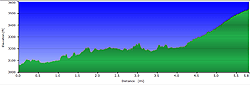
3.5 hours with breaks
900 ft
 Topo Hike Trails Map (PDF) Topo Hike Trails Map (PDF)
Wildell WV Weather Forecast
Garmin (GDB), Gaia/Trails App (GPX) (What's
this?)
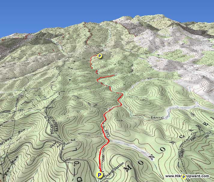
3D View of Route |
 By Trail Contributor: Jeff Monroe (Email Jeff) By Trail Contributor: Jeff Monroe (Email Jeff)
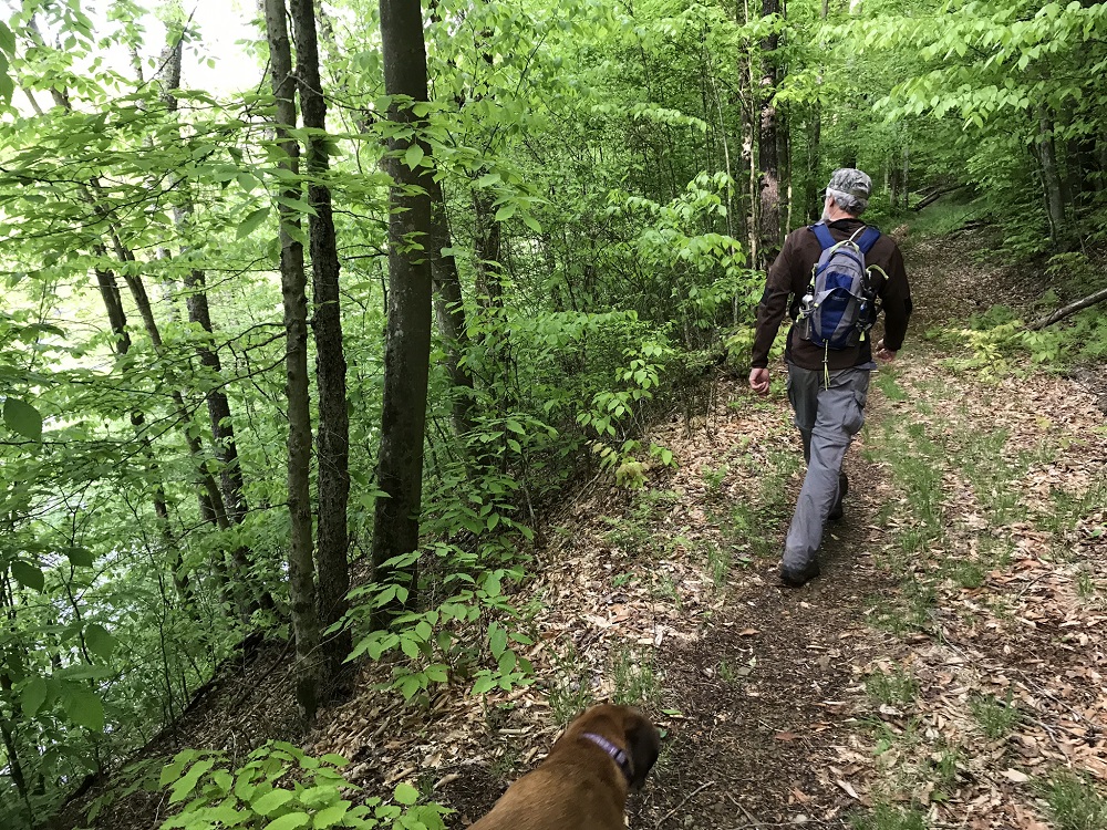
Laurel Fork South Wilderness offers a quintessential wilderness experience in our part of the country. Once owned by the Laurel River Lumber Company, the company stripped the area of all timber then sold the land to the United States government – the common way for eastern national forests to obtain acreage. Without road access, and deep within a remote part of the forest, just under 6,000 acres obtained federal wilderness designation in 1983. Only a single forest road separates this wilderness from another 6,000 acres of wilderness to the north. Along with the Cranberry Wilderness, the Laurel Forks are the oldest federally designated wilderness areas in the state. The Laurel Fork wildernesses however are much less visited than most other wilderness areas in the state. As one source stated, this “is not a place you visit on your way to somewhere else.” It take effort to get here, and that makes for a great experience.
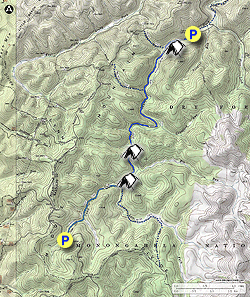
Laurel Fork South Wilderness contains 9.5 miles of trails. This hike follows much of the main trail through the Wilderness, the Laurel Fork Trail, along with the Camp 5 Trail. This route can be hiked as an out-and-back from either the north or south end of the Wilderness, or it can be completed using a 25 minute car shuttle. This description will describe the hike north to south as a shuttle, though this hike’s length is short enough for many hikers to complete as an out-and-back day hike.
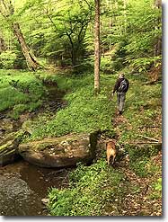
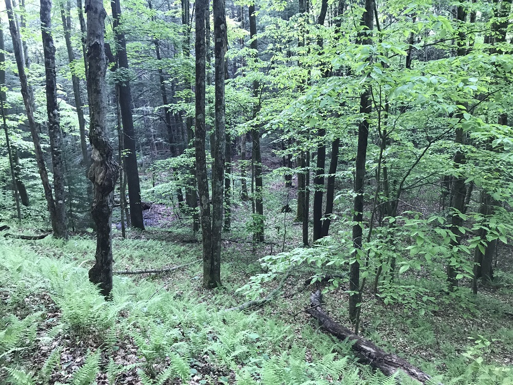
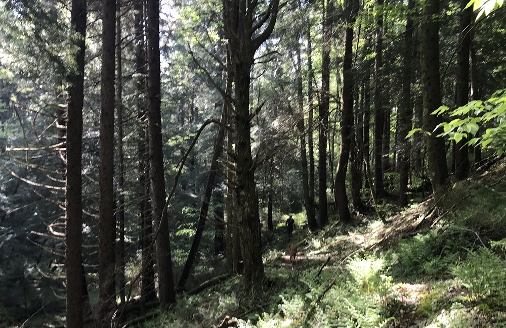
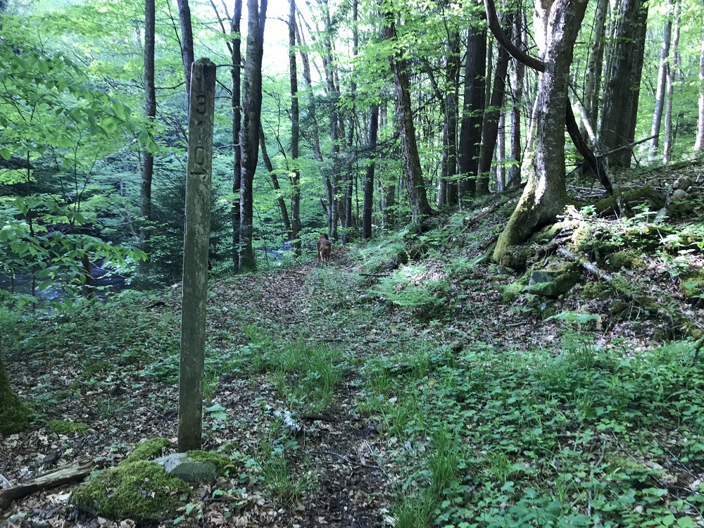
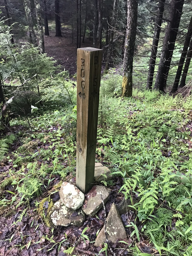
This route presents much of what is great about this wilderness. Because it is nearly entirely within federally designated wilderness, we do not recommend that inexperienced hikers attempt this hike. The trails, though generally easy to follow, are unblazed, seldom signed, and can seem to disappear at times. Cellphone coverage is nonexistent. The difficulty rating applies more to your remoteness, as there are no hard climbs. It follows two streams for its entire length. Wilderness regulations limit groups to ten or fewer hikers.
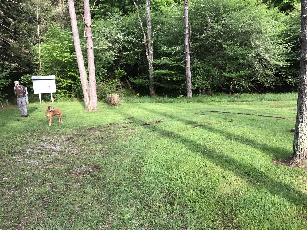
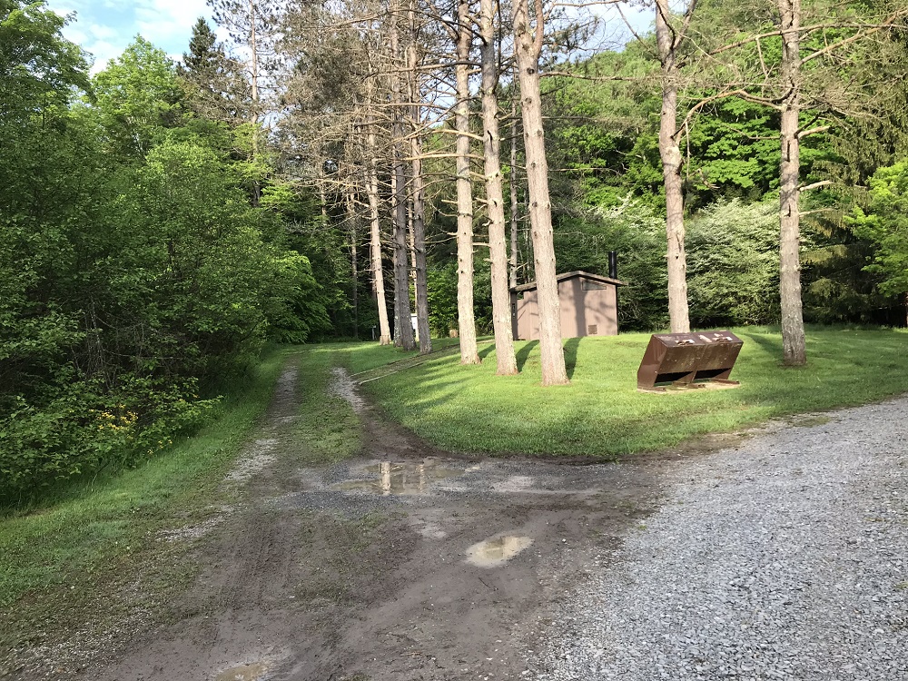
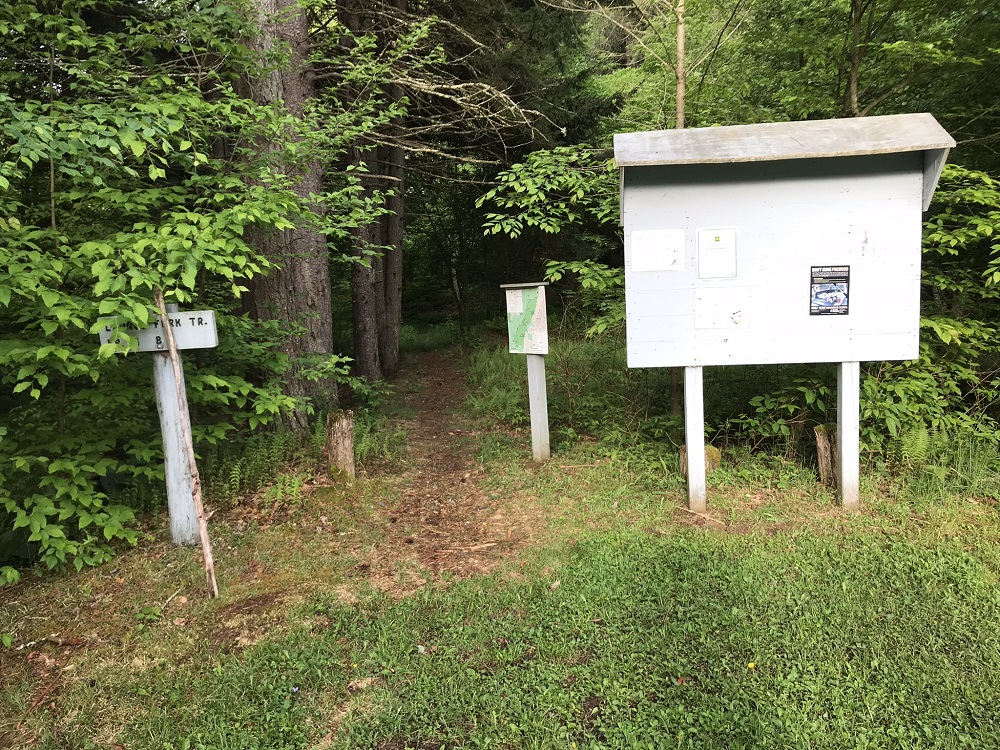
- Mile 0.0 – Start the hike in the back end of the Laurel Fork Campground. Camping is available here between April 15 and December 1, at a cost of $10 per night. There is space in the back of this 15 site campground for a couple of vehicles, behind the campground privy. Look for the trail sign and map at the back of the campground – this is the start of the trail. Take a photo of the map if you do not have one with you.
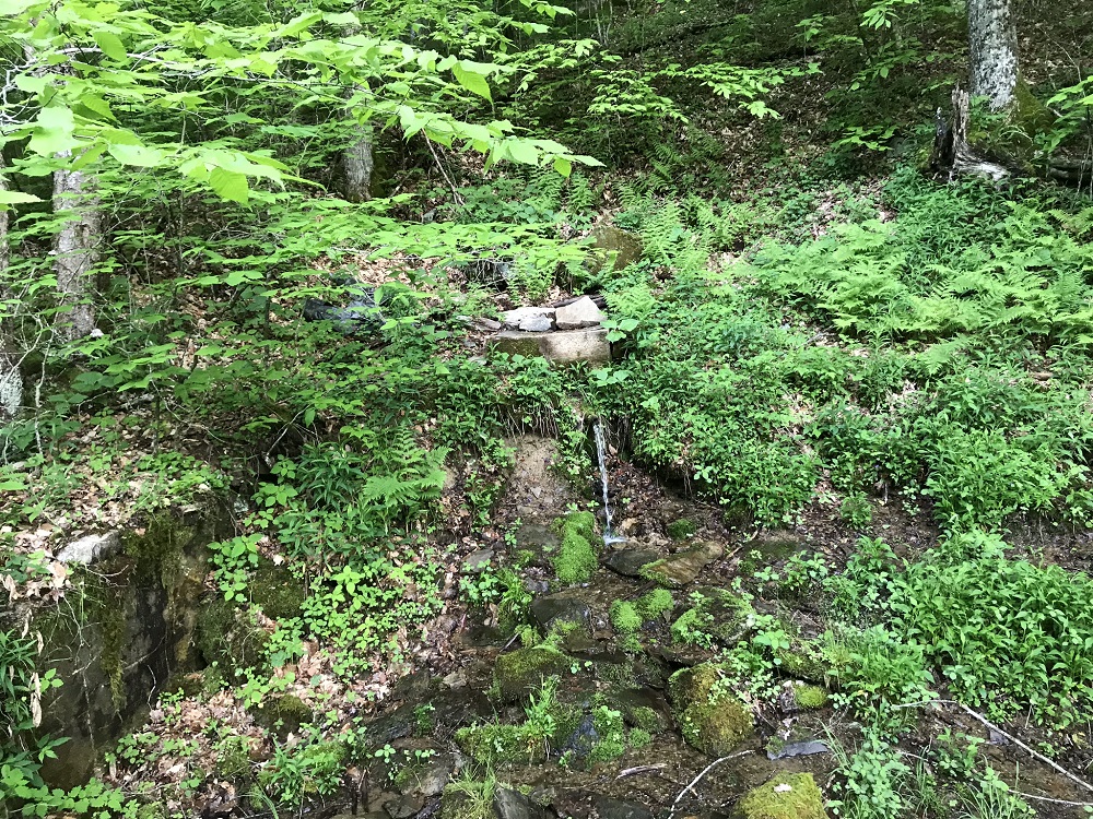
- Mile 0.1 – The trail splits nearly right away, with one path going straight and another trail heading right, a little higher, passing by a piped spring. The trails rejoin shortly after the spring.
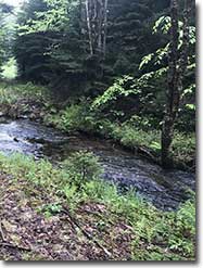
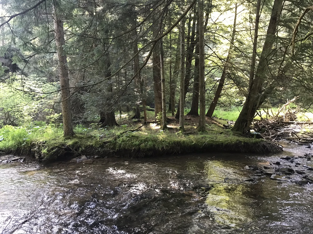
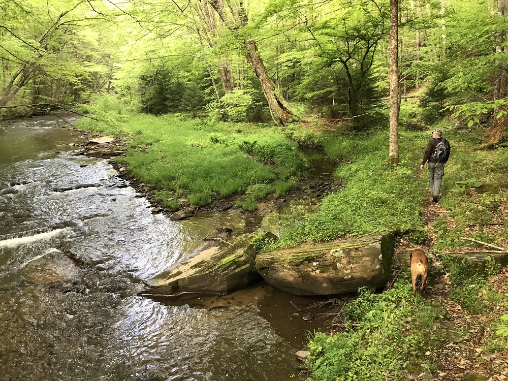
- Mile 0.5 – The Forks Trail comes in from the west here. It is easy to miss this intersection. Down by the river is a grove of hemlocks that create a nice campsite, about 100 yards off trail, with no trail leading to it. We once passed a ranger here, camping with his little girls, who said this is the best campsite in the entire national forest! From here, the trail varies between looking down at Laurel Fork and coming right next to the streambed, always on the west side of Laurel Fork.
- Mile 1.5 – Cross a small stream and come to a trail intersection. This is the end of the Beulah Trail (T310), which ascends west to FR 14 and then continues to its western terminus at FR 44, about a half mile north of the trailhead for the High Falls of the Cheat. Continue straight on the Laurel Fork Trail.
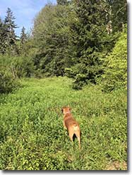
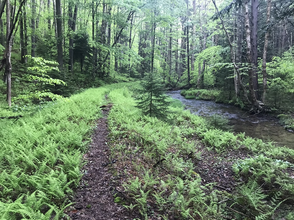
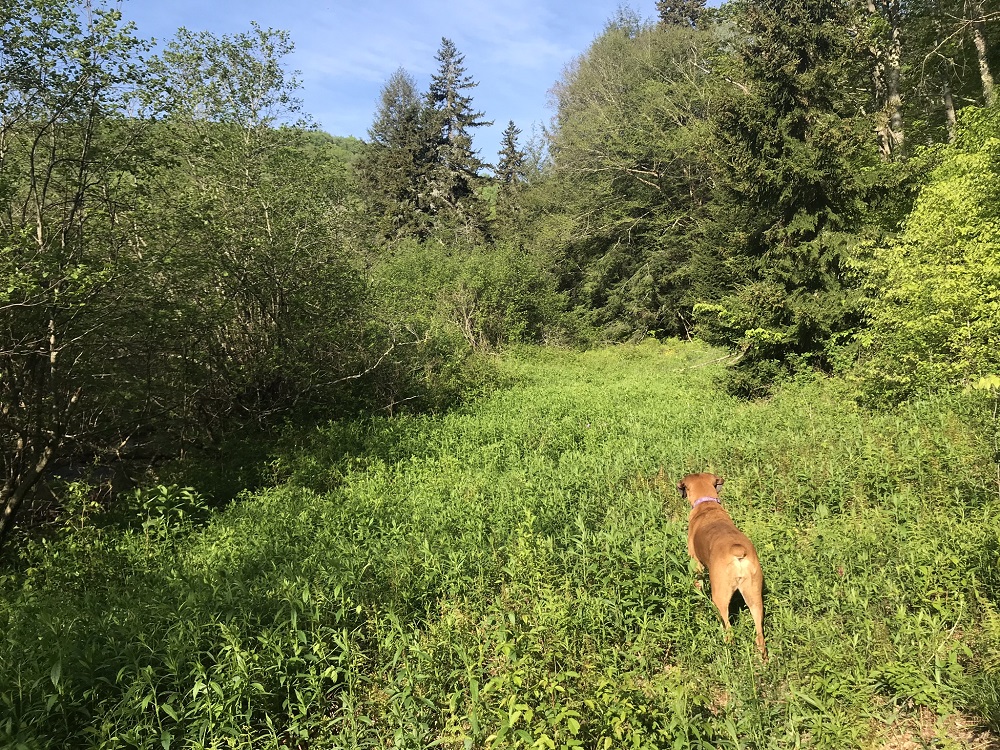
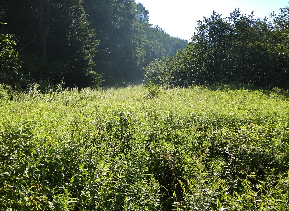
- Mile 2.7 – The trail enters a level, somewhat swampy area where the trail seems to disappear. This is the only tough area to follow the route. Cross through the field, cut through a small area of trees, and come to another field. Cross that field, and look for a stone cairn in the woods on the other side, which marks the trail. Do not go upslope, but stay somewhat near the stream. If you just charge through this area, you should see a defined trail again on the other side of these fields. Recognize that the fields can get pretty high towards the end of summer, as shown by this photo of the trail here, taken in late July.
- Mile 2.9 – Cross a small stream.
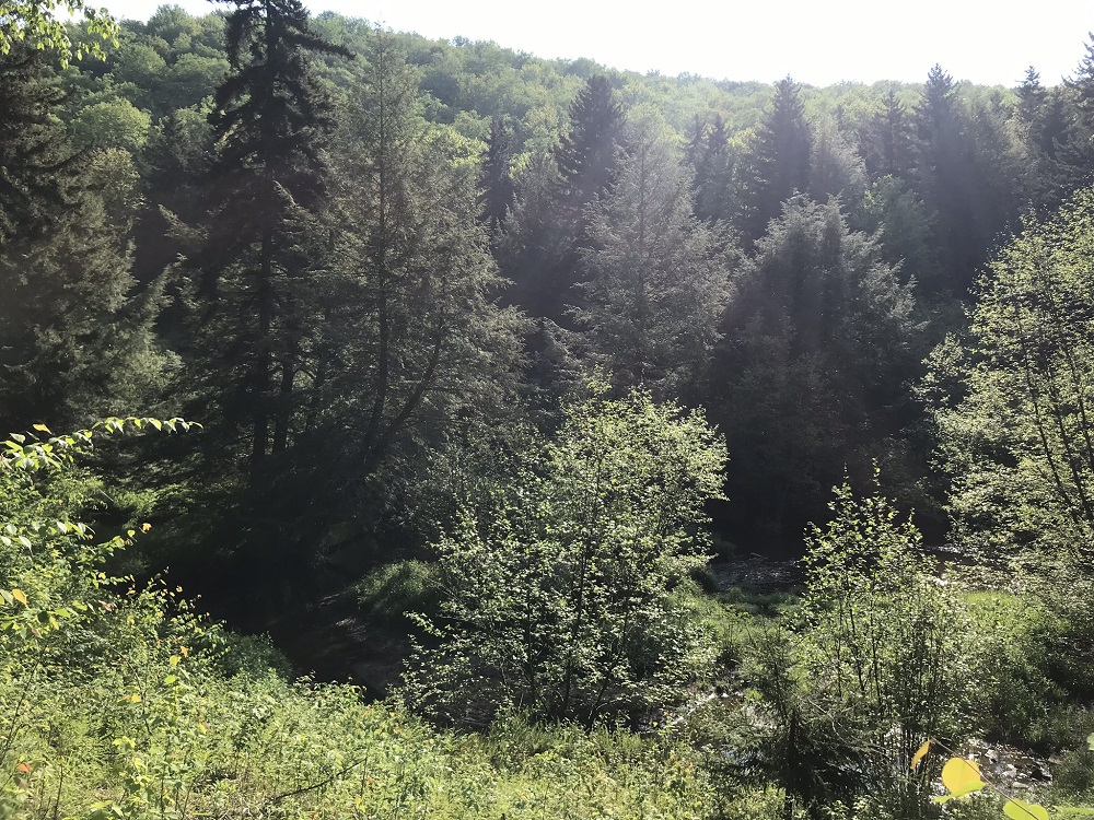
- Mile 3.3 – The canopy opens up briefly to provide a view of the nearby countryside before dropping back under cover. Shortly after this point, at Mile 3.5, the trail reconnects with Laurel Fork and a fine campsite can be seen directly across the stream. The trail is wonderfully dark and mysterious through here, thanks to a large grove of hemlocks that have become a rarity in the past 25 years.
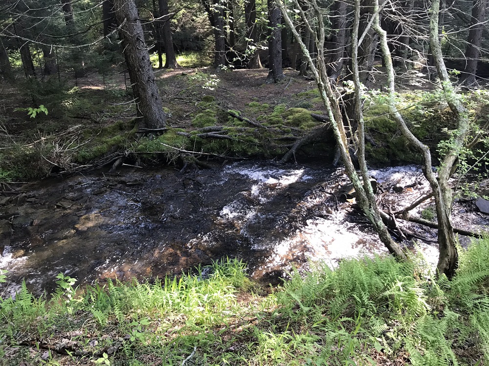
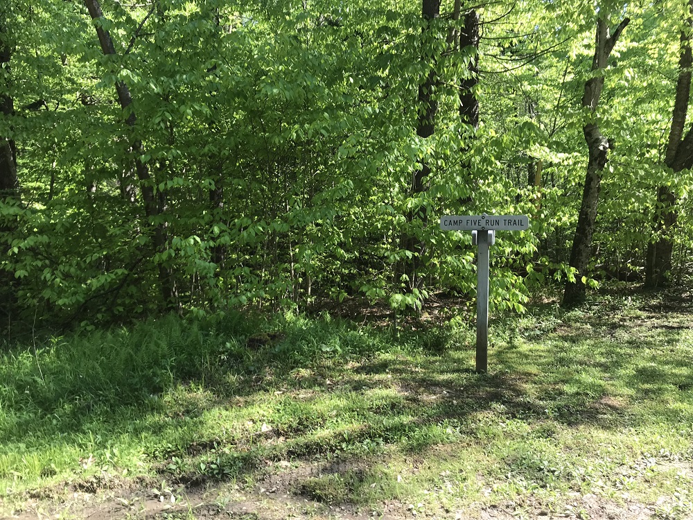
- Mile 4.1 – Travel through a series of fine campsites, located under a grove of hemlocks. In the middle of this grove, the trail crosses Camp Five Run, which can be a somewhat tough crossing in the Spring. Look for a trail to your right just after the stream crossing. This is the Camp Five Run Trail. Leave the Laurel Fork Trail here and turn right onto the Camp Five Run Trail, which follows Camp Five Run.
- Mile 5.0 – Encounter the first of a series of four stream crossings within a short amount of time.
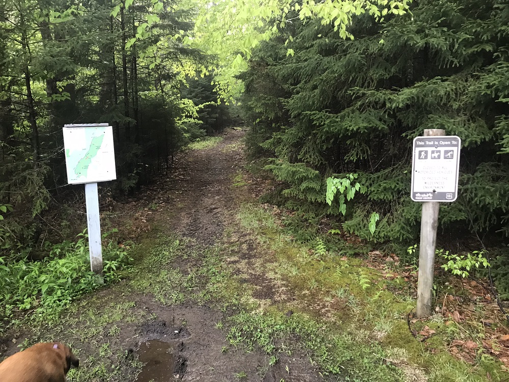
- Mile 5.7 – Exit the wilderness between a pair of signs and come into an open area with a pond on your right. This pond is popular with fishermen. Turn around here if this hike is an out-and-back.
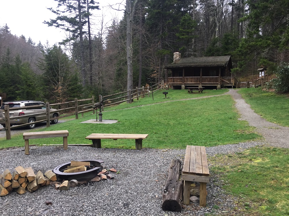
- Mile 5.8 – Pass the Middle Mountain Cabins on your left. These are depression-era cabins originally built for forest service workers. The end of the Camp Five Run Trail goes right through the parking lot and access road for these cabins. Respect the privacy of anyone staying there and continue out to FR 14. You can leave a car on the opposite side of FR 14 from the access to the cabins, leaving the lot you walk through for renters. The Camp Five Run Trail is marked at FR 14.
- Mile 6.0 – Cross FR 14 to your vehicle.
|


