|
| Length |
Difficulty |
Streams |
Views |
Solitude |
Camping |
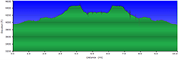
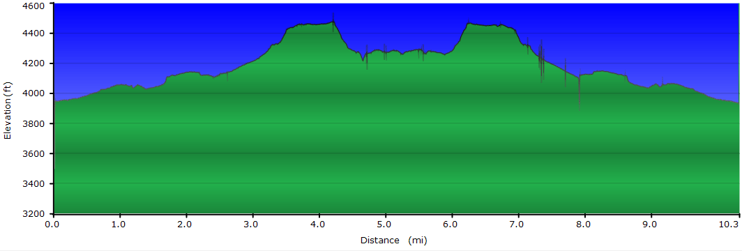
| 10.2 mls |
 |
 |
 |
 |
 |
Hiking
Time:
Elev. Gain:
Resources: |
2 day backpack
810 ft
 Topo Hike Trails Map (PDF) Topo Hike Trails Map (PDF)
Seneca Rocks WV Weather Forecast
Garmin (GDB), Gaia/Trails App (GPX) (What's
this?)
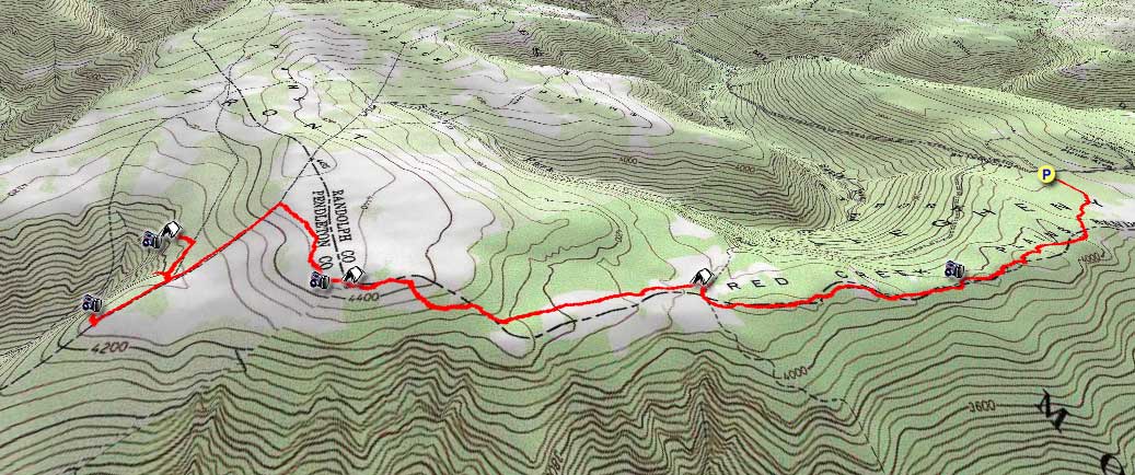
3D View of Route |
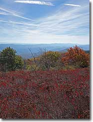
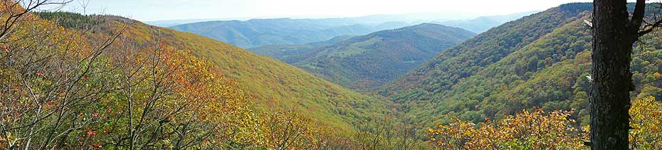
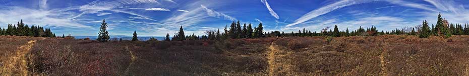
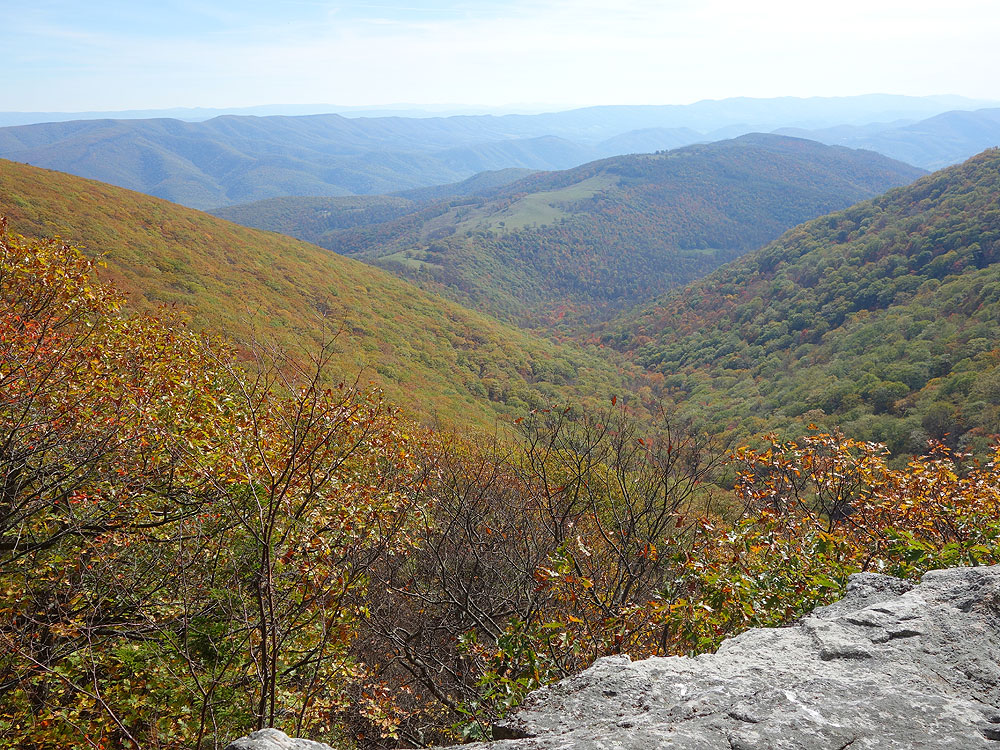
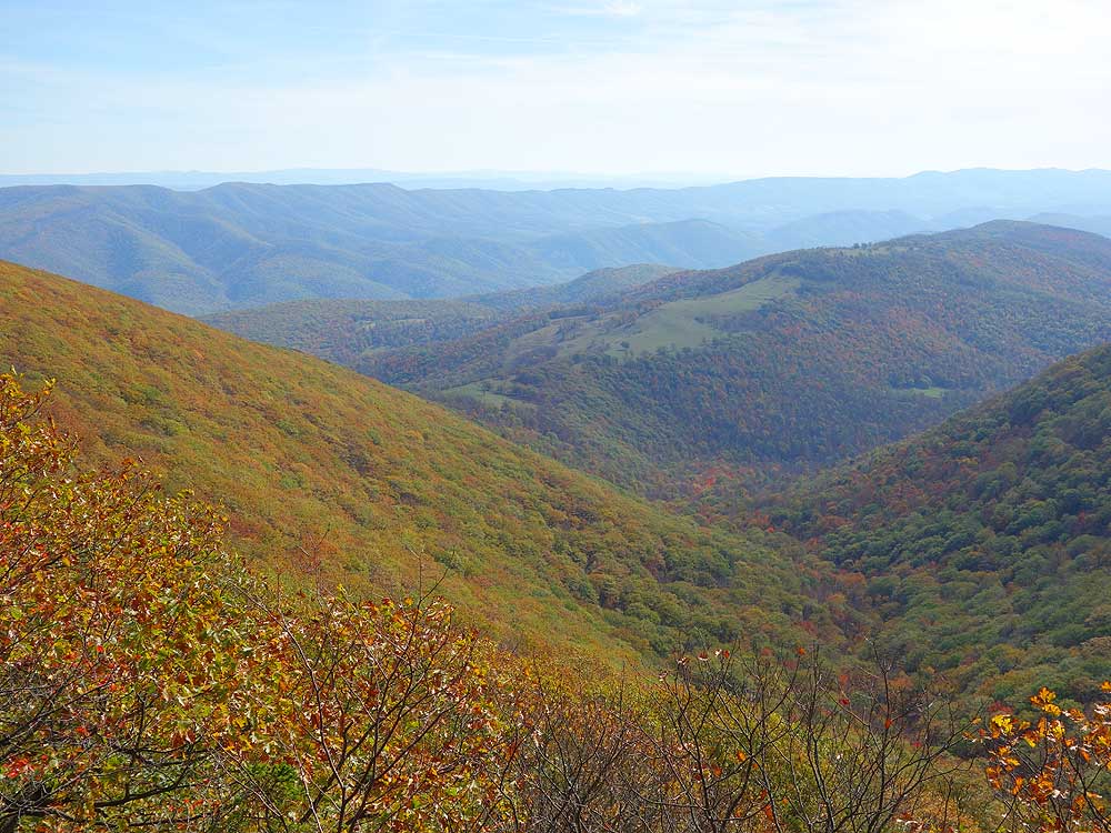
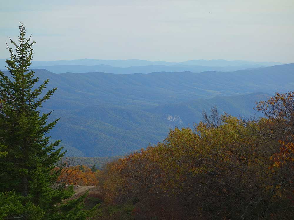
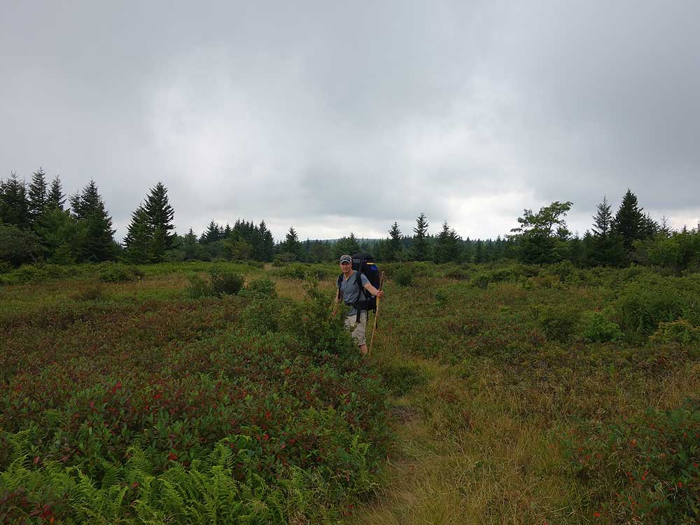
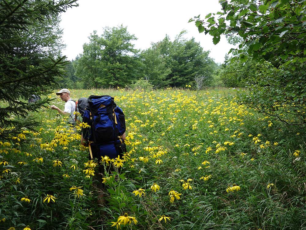
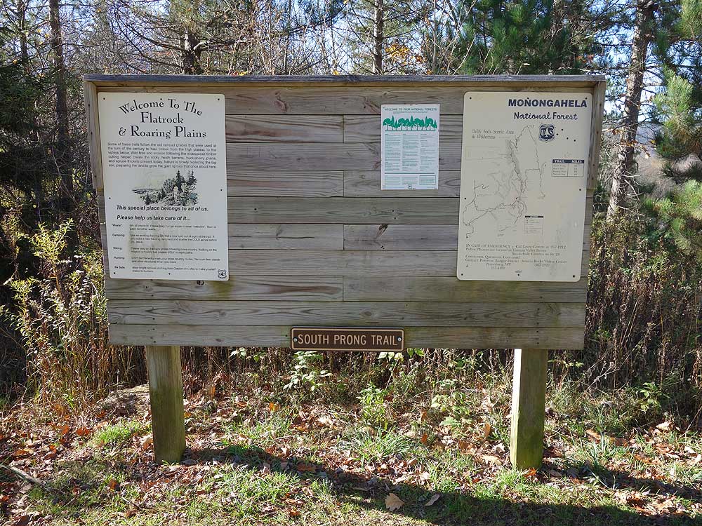
 One of the last pristine backcountry hiking areas in the mid-Atlantic. Roaring Plains has everything the backpacker is looking for: Campsites next to streams, sweeping vistas, high mountain meadows, and solitude that is hard to find these days. Why isn't this area more popular like the Dolly Sods Wilderness just to the north? The most likely reason is there hasn't been a good current trail map of the area, even the trailhead kiosk map at the parking area is way out of date. Print out our map here if you do this hike. One of the last pristine backcountry hiking areas in the mid-Atlantic. Roaring Plains has everything the backpacker is looking for: Campsites next to streams, sweeping vistas, high mountain meadows, and solitude that is hard to find these days. Why isn't this area more popular like the Dolly Sods Wilderness just to the north? The most likely reason is there hasn't been a good current trail map of the area, even the trailhead kiosk map at the parking area is way out of date. Print out our map here if you do this hike.
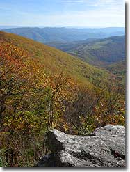
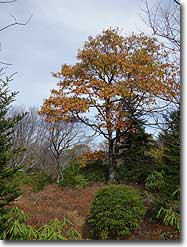
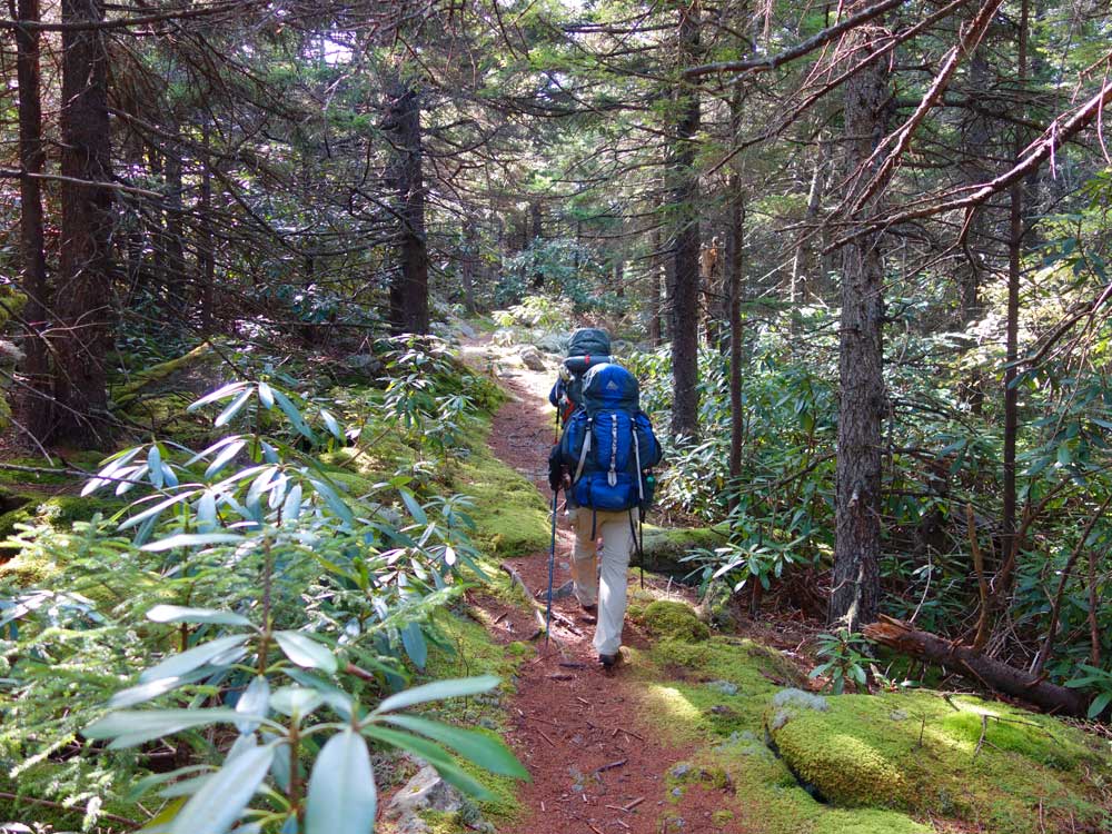
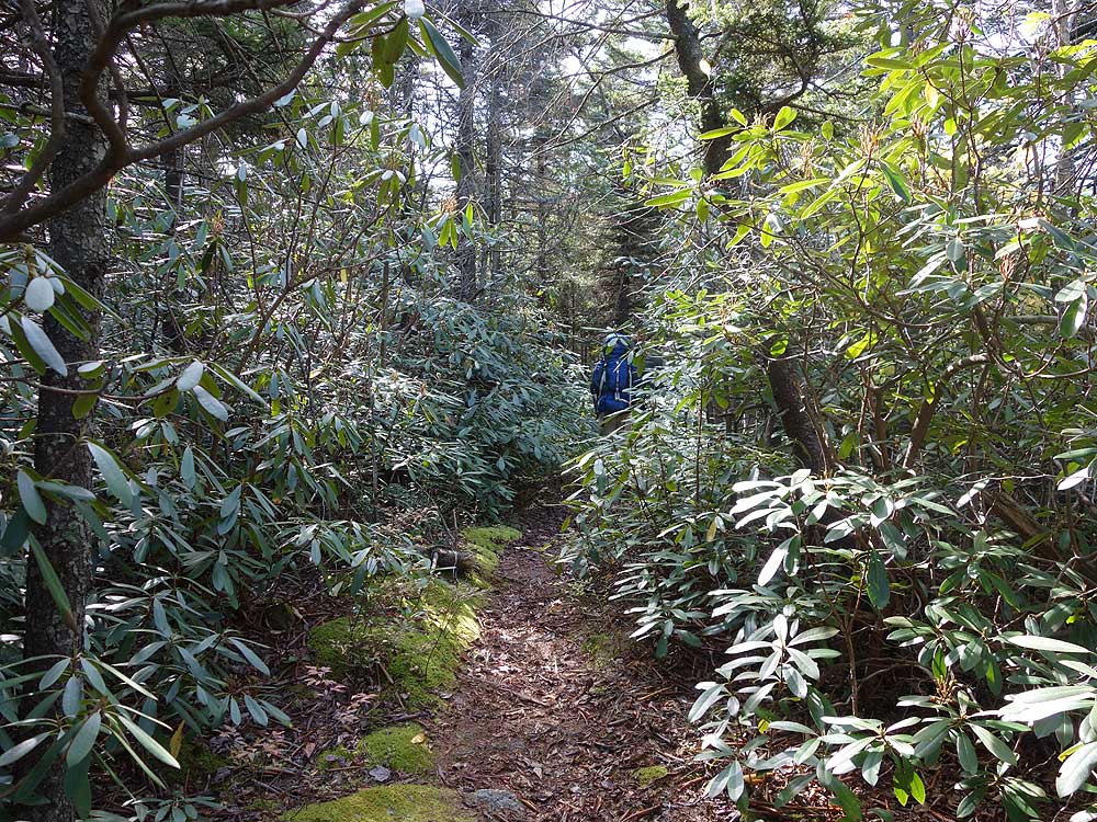
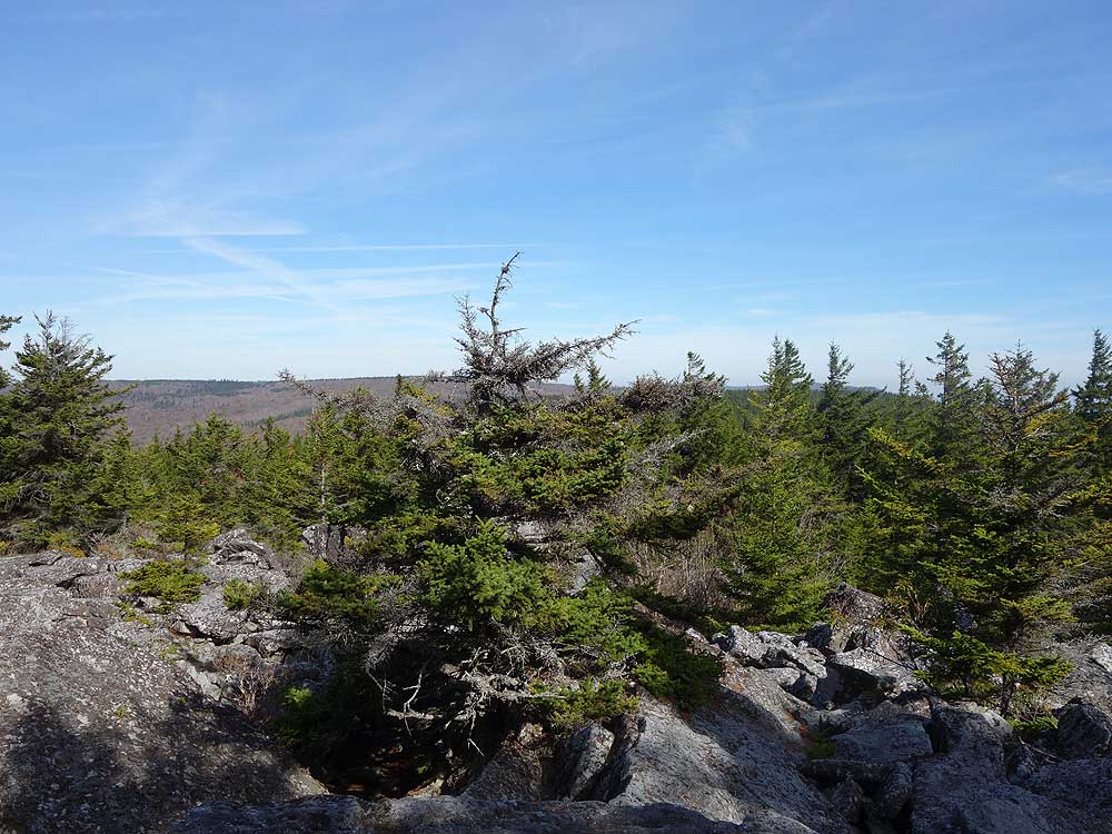
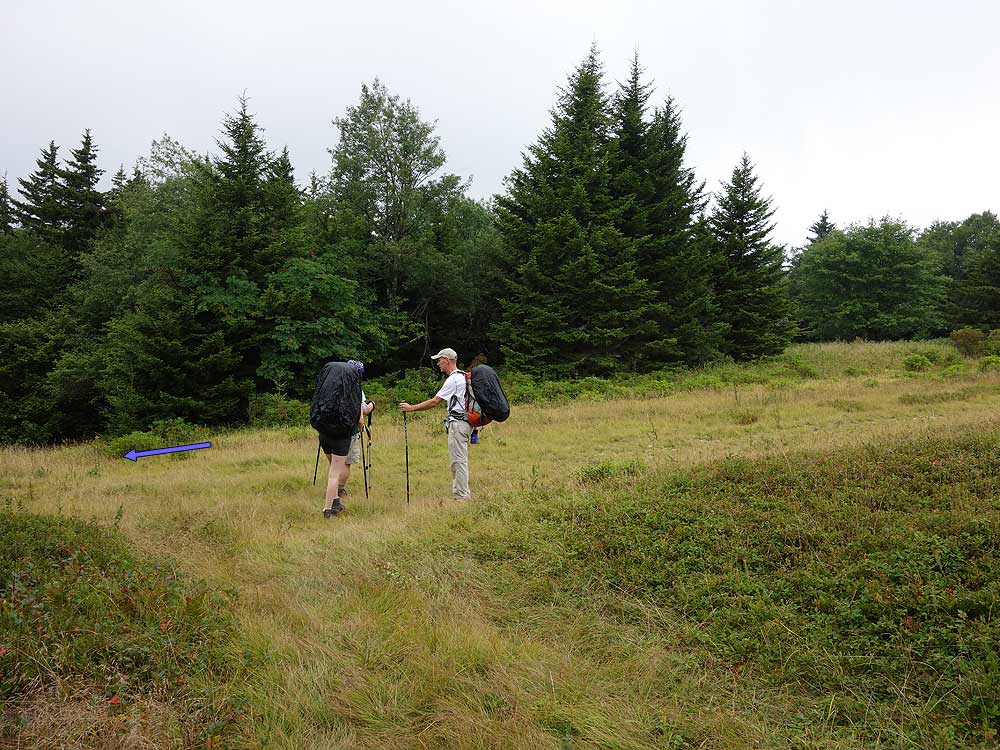
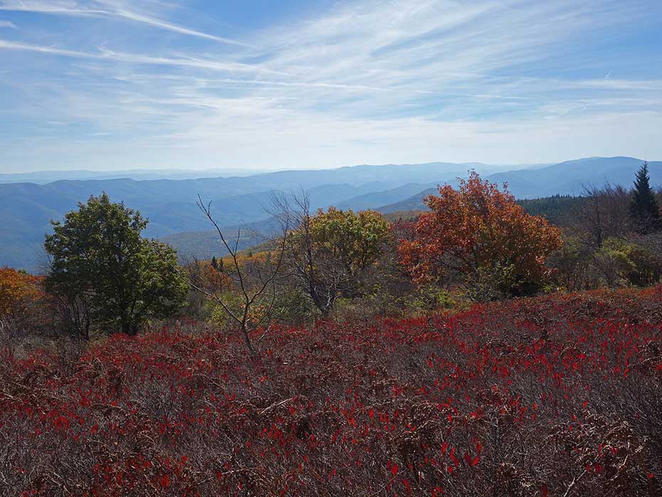
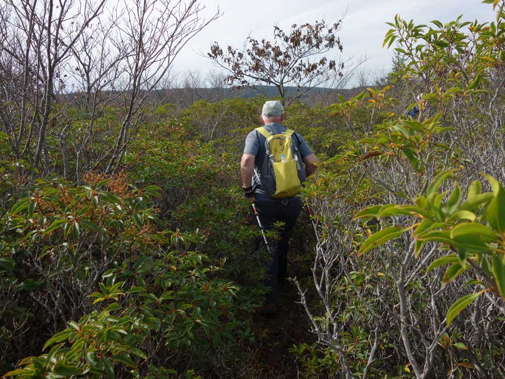
Besides from the South Prong Trail there are no trail blazes, and trail intersections do not have trail signs. For those that are comfortable hiking in these conditions the rewards are spectacular. The southern end of Roaring Plains has sweeping views to the east, and the Canyon Rim Trail has views that look down towards Seneca Rocks. Also if you camp at one of the meadow campsites and are fortunate enough to have a clear night the night sky is stunning. Lay on your back and count how many satellites wiz by. The Milky Way is also clearly visible as a wide band of stars.
If this is your first time in the Roaring Plains area make sure to bring our map, and load the GPS route on your phone or GPS if possible. It can be easy to go off trail here, and the terrain in places can be hard to navigate.
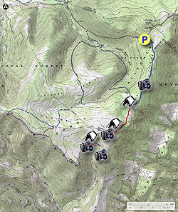
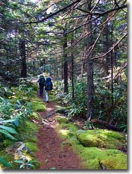
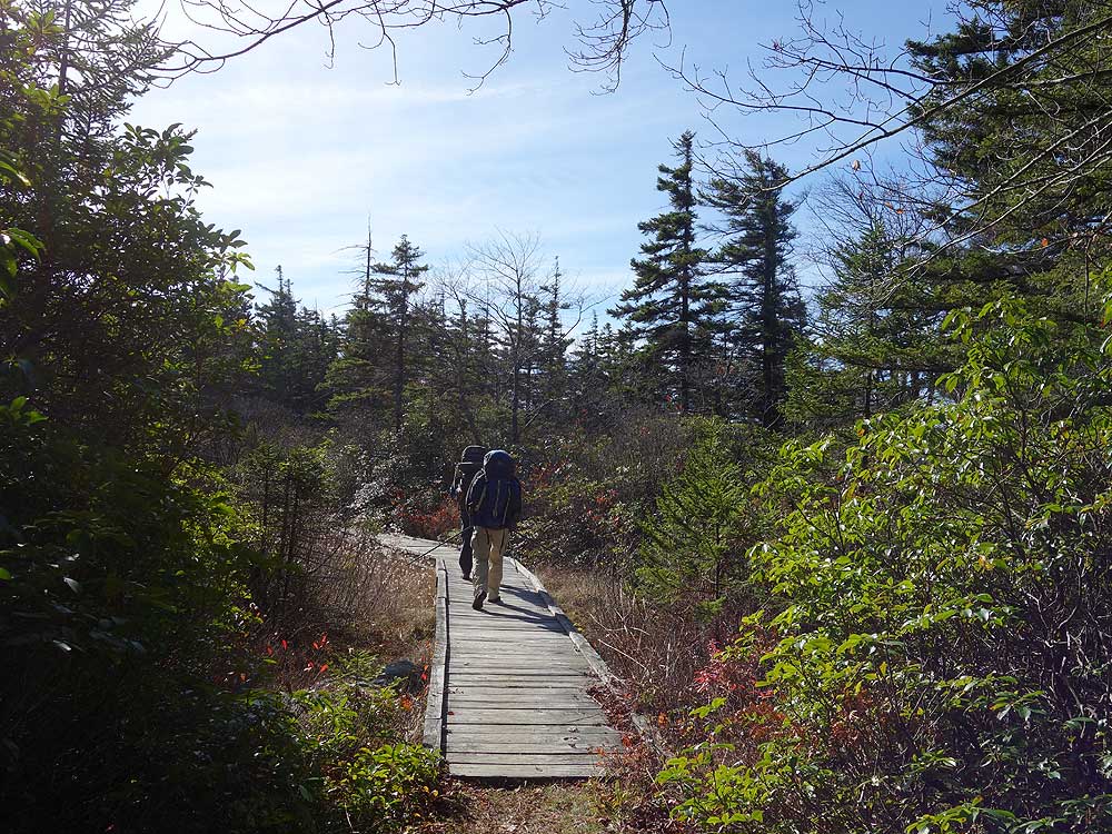
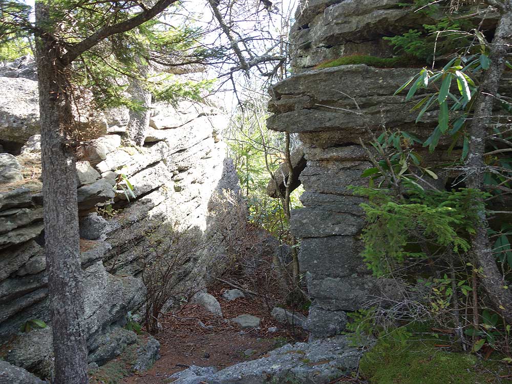
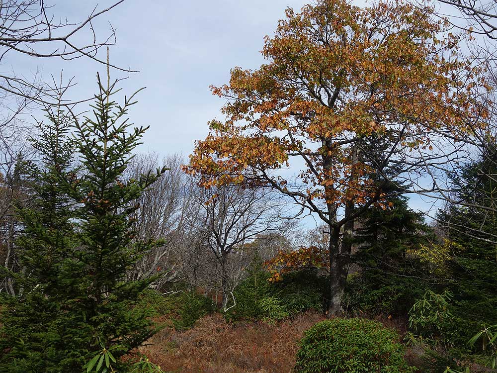
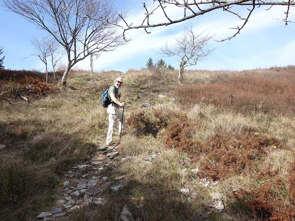
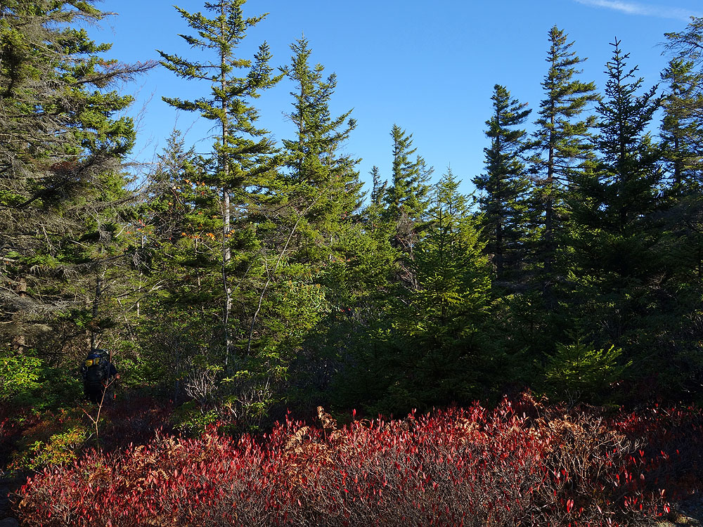
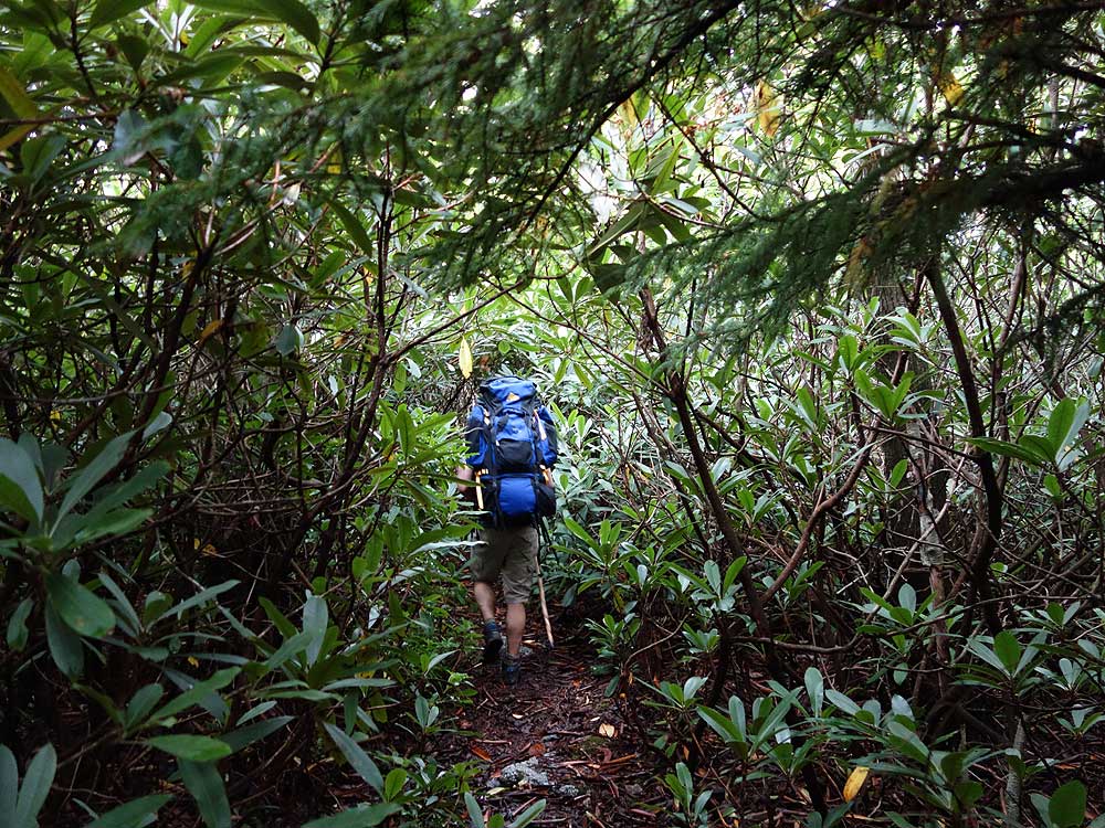
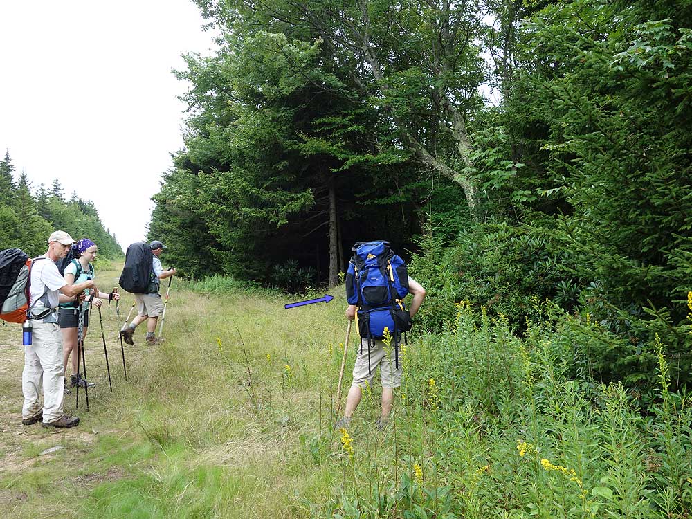
- Mile 0.0 - From the parking area on FR 19 the South Prong Trail starts at an information kiosk. The blue diamond blazed South Prong Trail initially follows wooden walkways. The first mile of the trail passes through rhoterdendrum and stands of spruce. This area is Red Creek Plains and will enter a narrow section of granite, where both fern and moss line both sides of the trail.
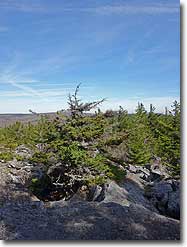
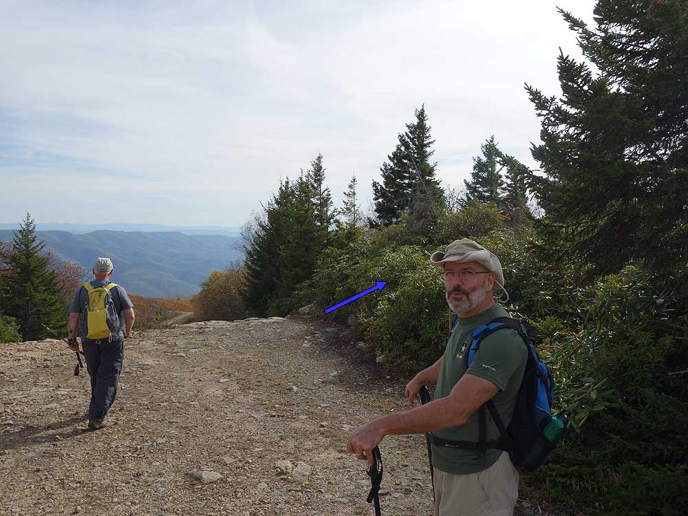
- Mile 1.7 - After climbing a small rise look for a trail on the right. This leads to a boulder field and views to the north of the Dolly Sods area. The South Prong Trail will then descend passing through a wetter flat section before marking a right turn back to the northwest.
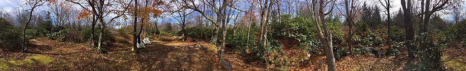
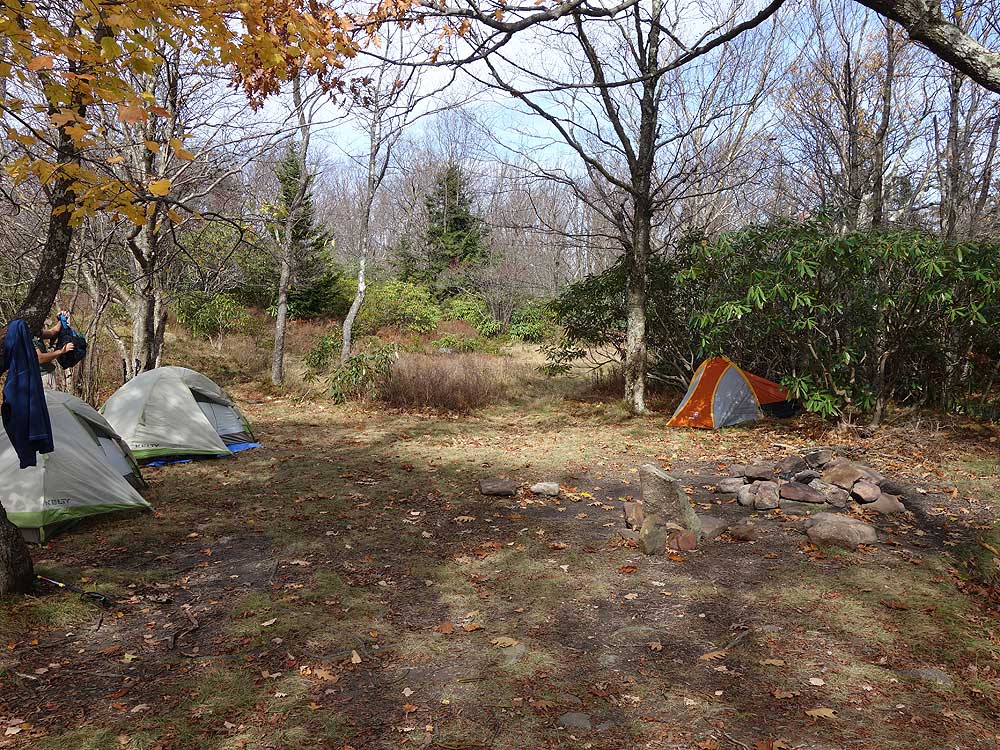
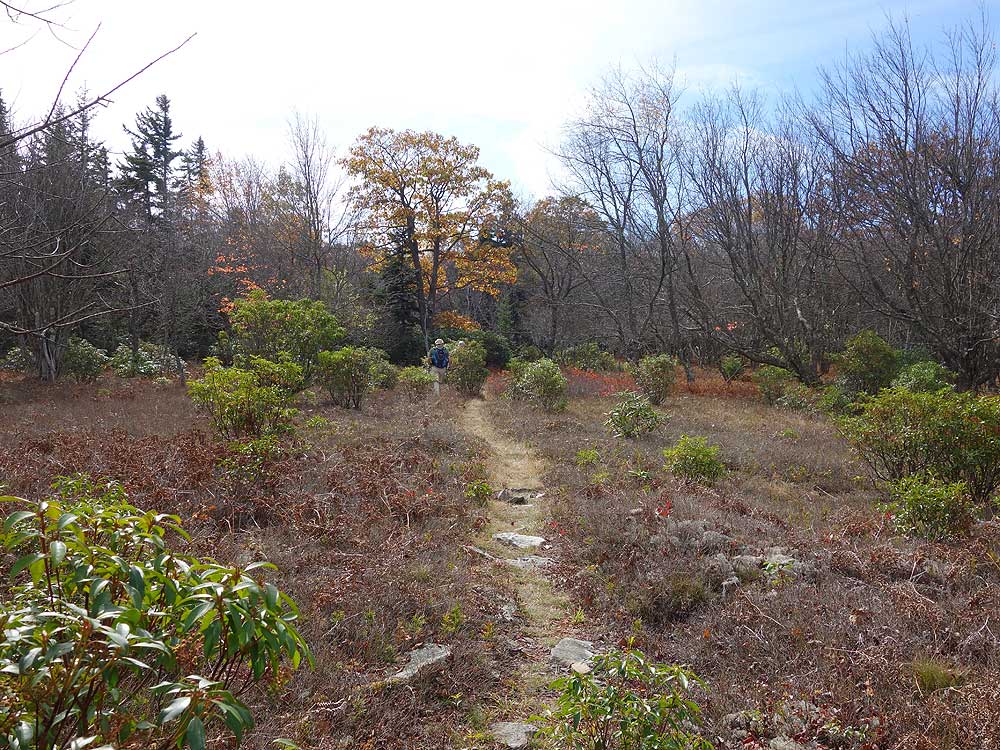
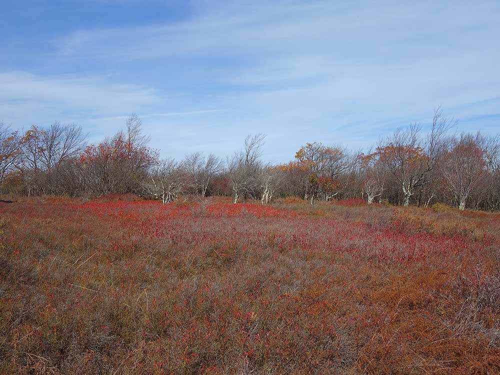
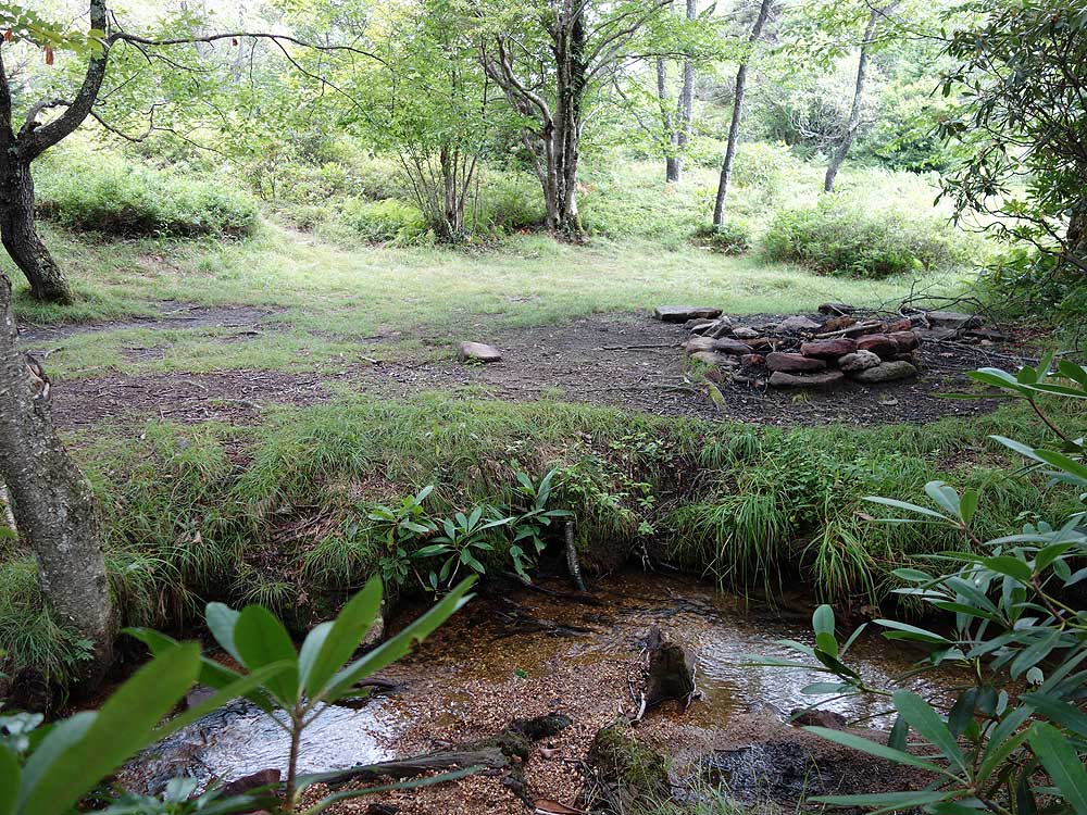
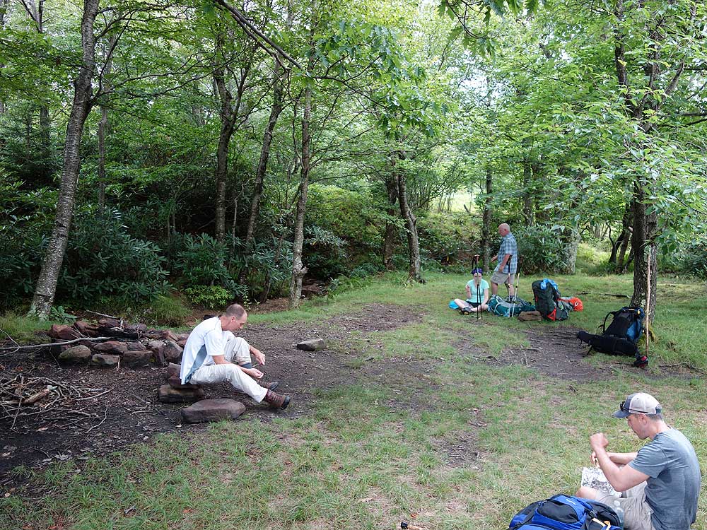
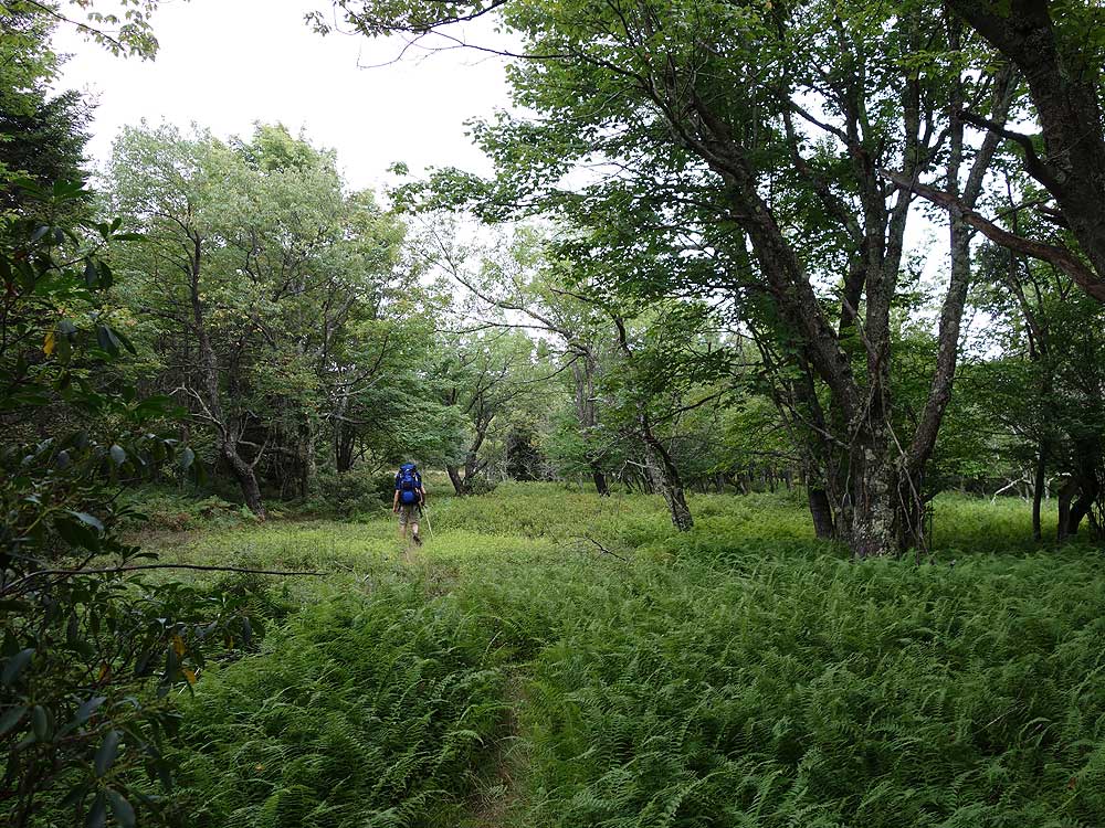
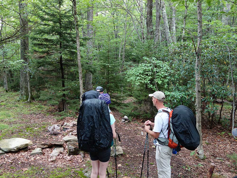
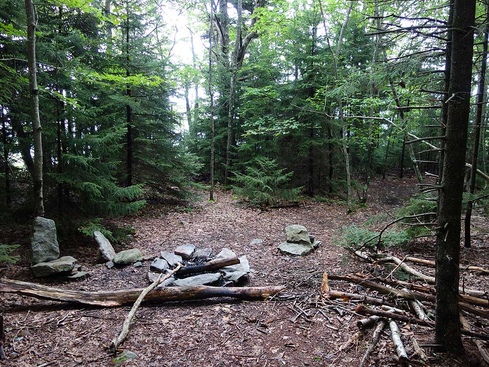
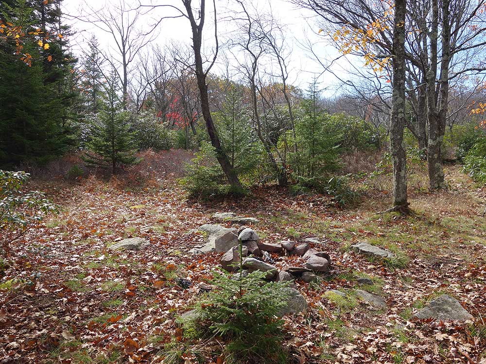
- Mile 2.4 - Just after the trail makes the turn to the northwest arrive at the intersection with the Hidden Passage Trail on the left. There is no trail signage marking any intersections and and from this point the trails are not blazed. One of the best campsites is just past this intersection on the left of the South Prong Trail where a small side trail leads to a stream and camping area suitable for multiple tents. This is a great campsite to setup and hike the remainder of the out/back portion as a day hike. Take the Hidden Passage Trail southwest as it gently ascends towards the plain and in 140 yards passes through a small campsite. The trail then enters a thick stand of rhoterdendrum before exiting into yet another fern field. After the Hidden Passage Trail enters a more wooded area the trail climbs to a small rise with a clearing. Stay left on the trail and enter a thickly wooded area then shortly arrive at a split in the trail.
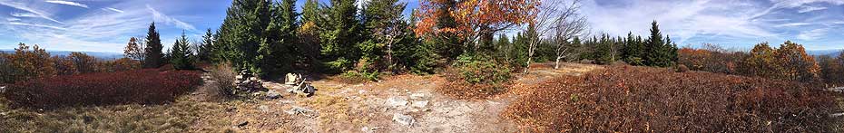
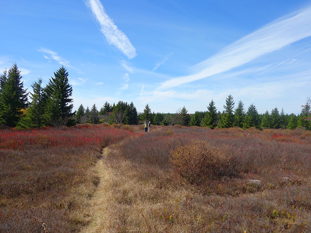
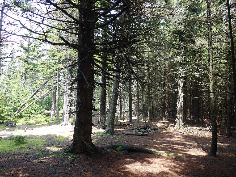
- Mile 3.3 - At the intersection the right branch leads to a camping area beneath a stand of spruce. Stay left at this intersection and the trail will emerge onto Roaring Plains in another 100 yards, and in another 70 yards arrive at a high mountain campsite. There is additional protected camping under the stand of spruce. On a clear night this is one of the best campsites in the Monongahela National Forest. Continue on the Hidden Passage Trail around the camping area to one of the many clearings in Roaring Plains. The trail passes through the fields then ends at a utility pipeline clear cut.
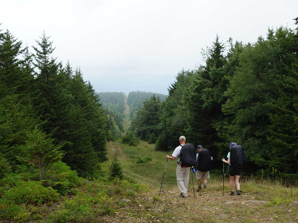
- Mile 4.0 - Turn left towards the east descending through the clear cut. The access road in the clear cut gets muddy the closer you get to the low point. Just after passing the low point look for a trail that enters the treeline on the right.
- Mile 4.4 - Turn right entering the treeline on the unblazed, unanimated, Canyon Rim Trail. In 50 yards the trail will turn right crossing a stream. This turn is easy to miss. The trail passes through small fields of flowers and in 0.3 miles a side trail on the left leads to a campsite.
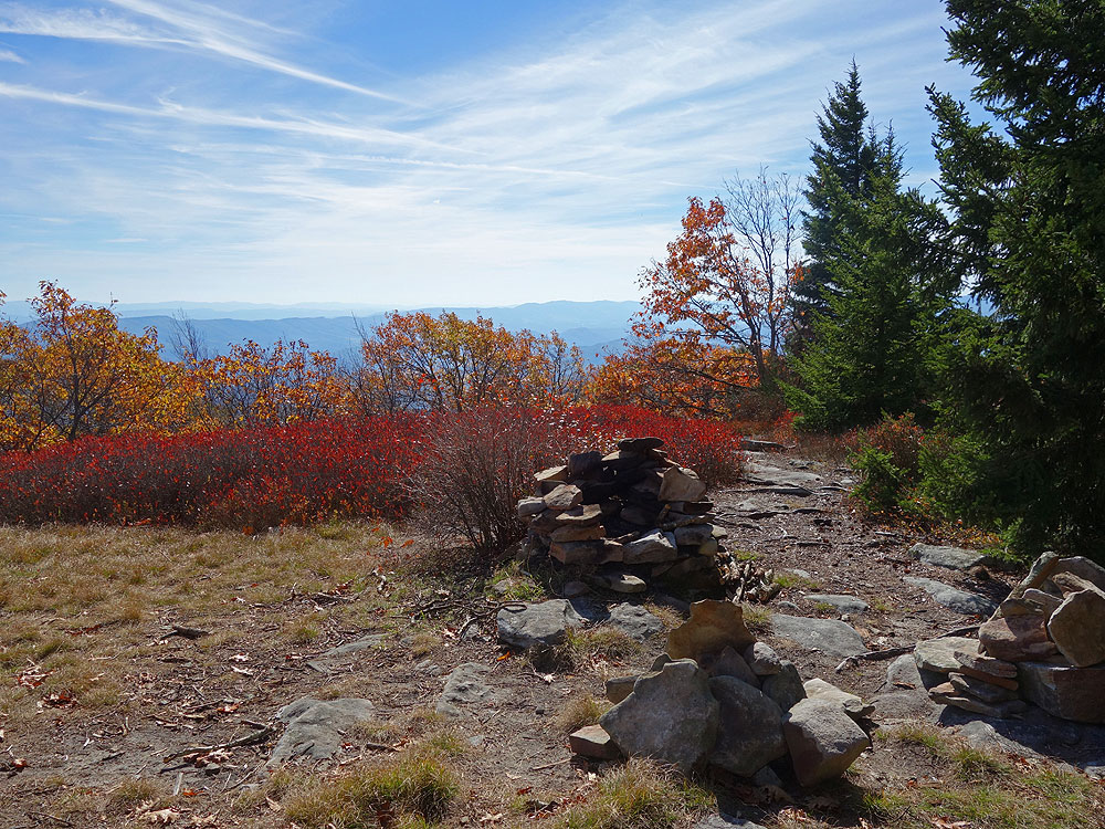
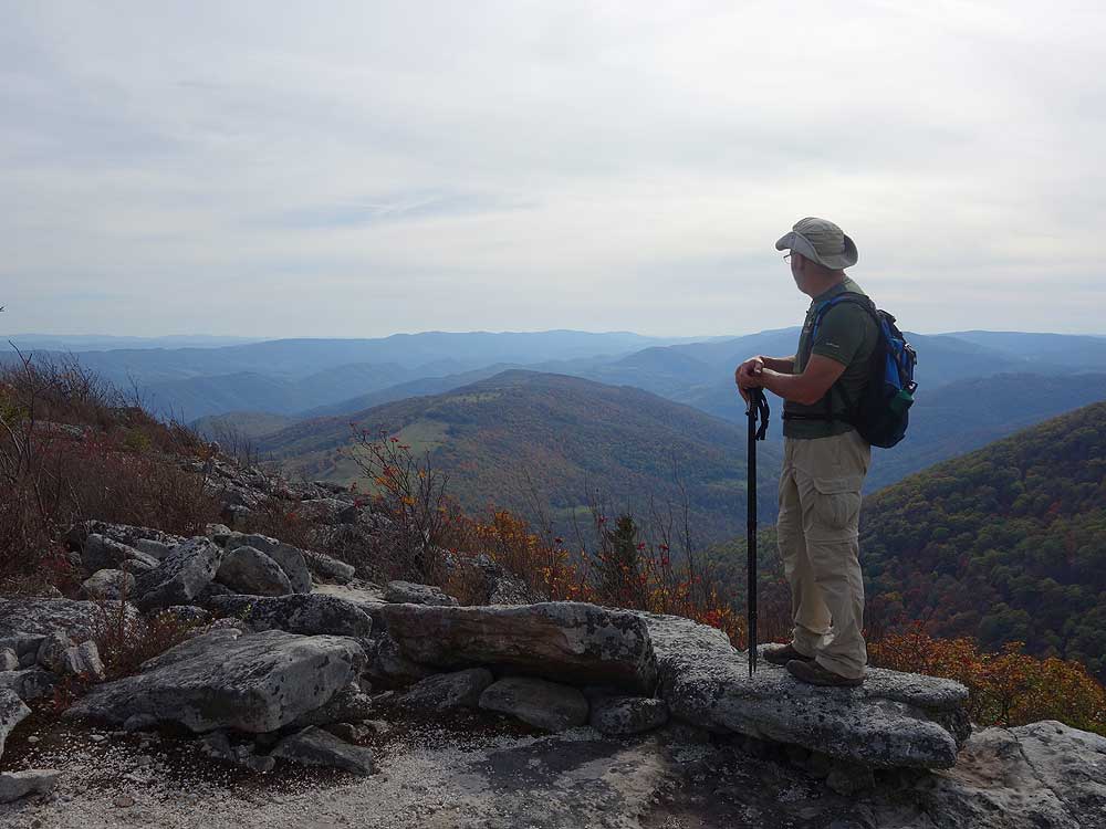
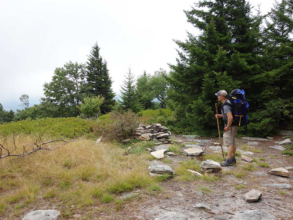
- Mile 4.7 - Walk through the campsite to a beautiful view eastward towards Seneca Rocks in the distance. This campsite is the perfect spot to spend the night and watch the morning sunrise. This is also the turn back point on the Canyon Rim Trail. Return back to the pipeline clear cut.
- Mile 5.0 - Turn right on the clear cut for 0.2 miles to the high point, then look for a faded trail on the right. Follow the trail for 0.1 miles through heavy undergrowth to another spectacular overlook to the southeast. Return back to the clear cut and turn left going back the way you came, passing the Canyon Rim Trail, then climbing back to the intersection with the Hidden Passage Trail.
- Mile 6.0 - Turn right on the Hidden Passage Trail going back through Roaring Plains, pass the high mountain campsite, re-enter the wooded area and hike back down to the intersection with the South Prong Trail.
- Mile 7.8 - Turn right on the South Prong Trail and follow it north back to FR 19.
- Mile 10.2 - Arrive back at the parking area on FR 19.
|
