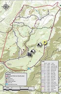
One of the lesser visited areas in Dolly Sods Wilderness just to the south of Bear Rocks off FR 75. This hike to Rohrbaugh Cliffs starts from the Fisher Spring Run trailhead on FR 75. The cliffs along the Rohrbaugh Trail have expansive views of the Red Creek basin and popular Lions Head promontory on the other side of the valley. This shorter hike also has two good camping sites. The first along Fisher Spring Run, and the second just behind the first overlook on the Rohrbaugh Trail.
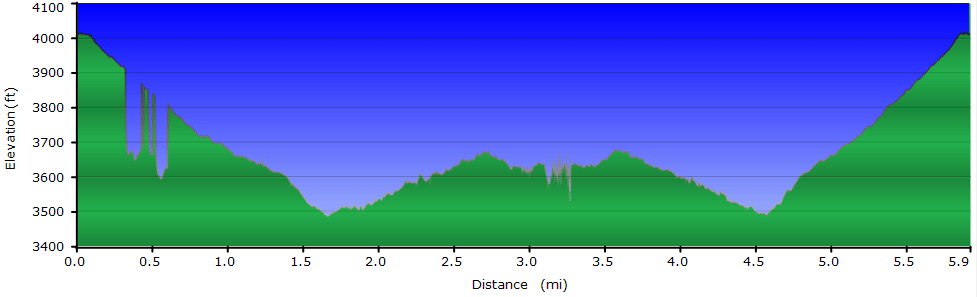
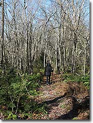
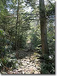
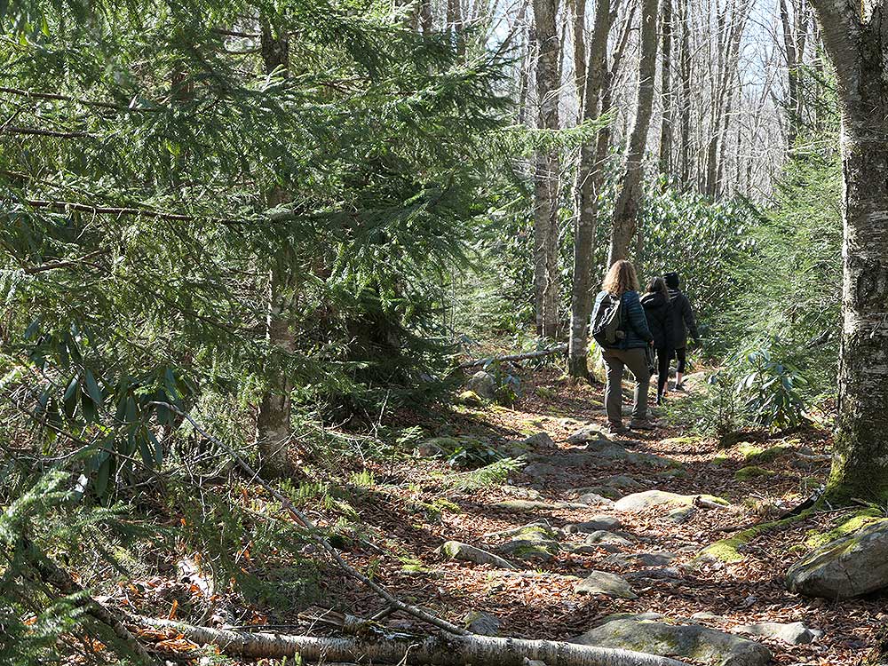
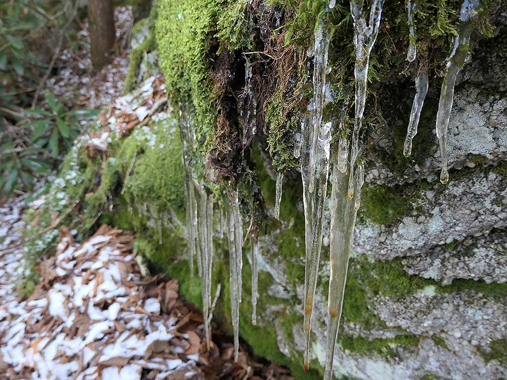
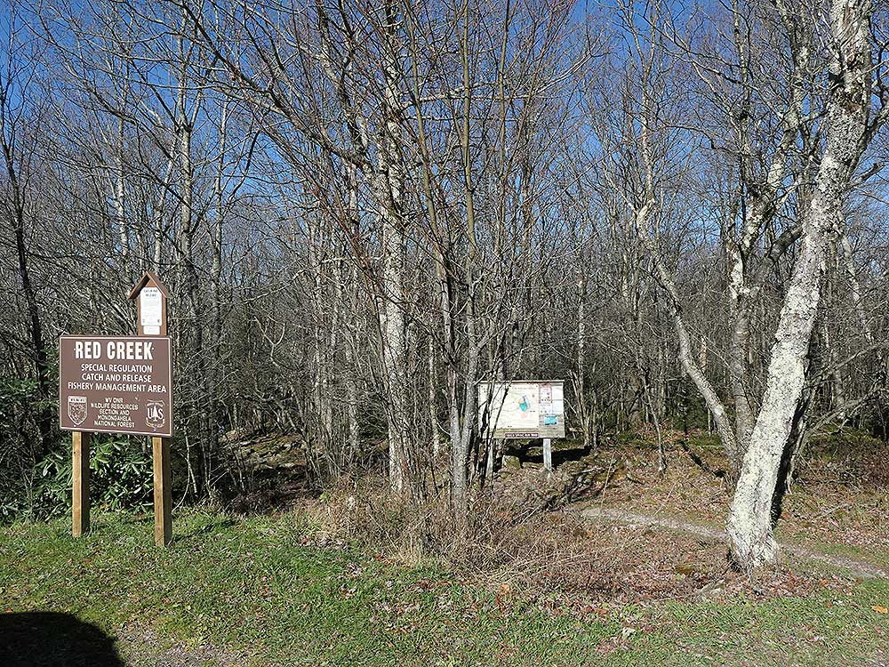
Mile 0.0 – From the parking area on FR 75 pass the information kiosk and start down the Fisher Spring Run Trail (510). The trails in Dolly Sods are not blazed, as such following the trails in the late fall and early spring can be more challenging with leaves on the trail. For the first 0.5 miles the trail passes through an area of fern and younger growth. Soon after the fern area the trail will become more wet, but still nowhere near as wet and boggy as the northern areas in Dolly Sods. Cross a feeder stream for Fisher Spring Run.
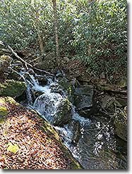
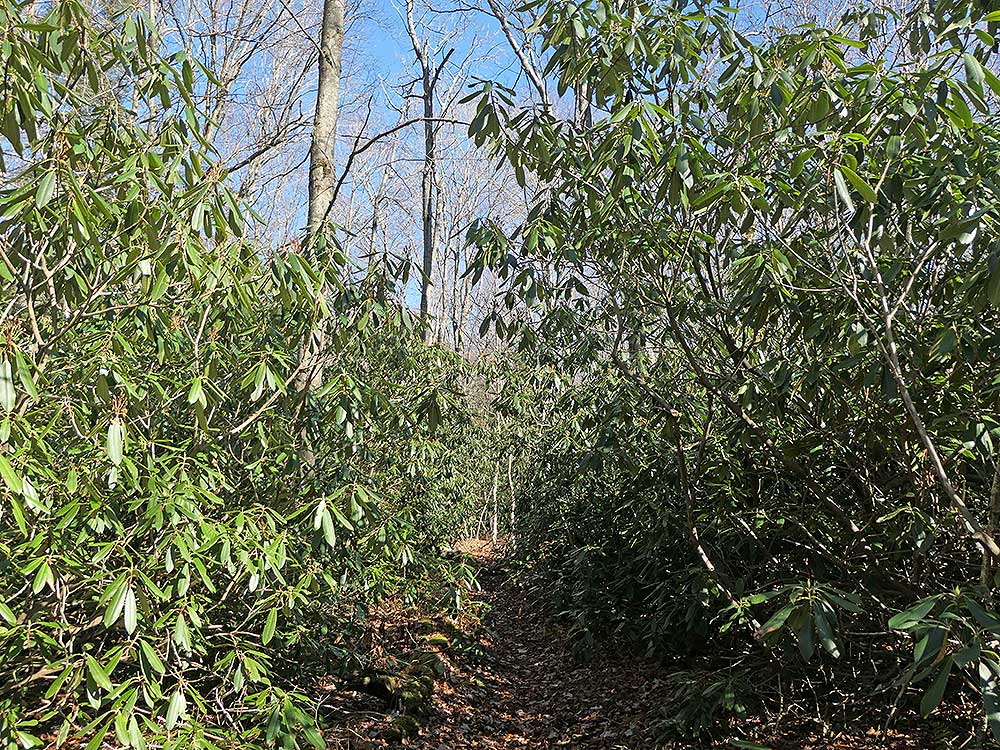
Mile 0.7 - Pass the first of two good camping sites. This would be great spot if you make a later start or are looking for a site with a good water source. From the campsite the trail will pass through large areas of Rhododendron as Fisher Spring Run comes in from the right. Look for a small gap in the Rhododendron that leads down to Fisher Spring Run and small pool.
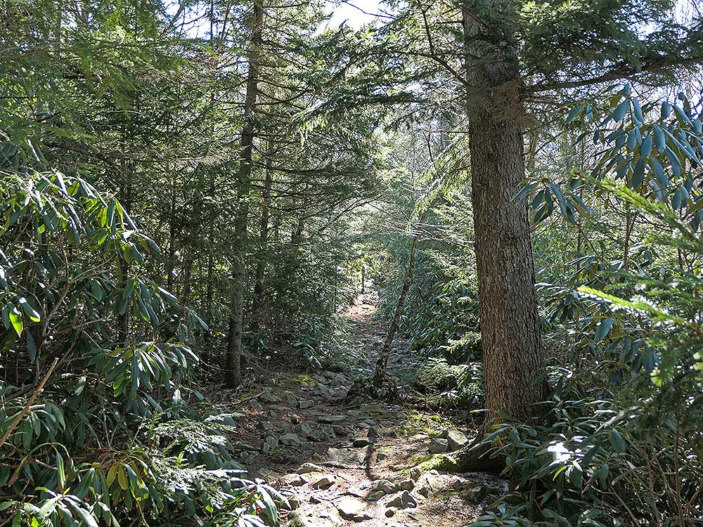
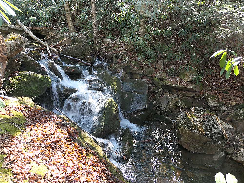
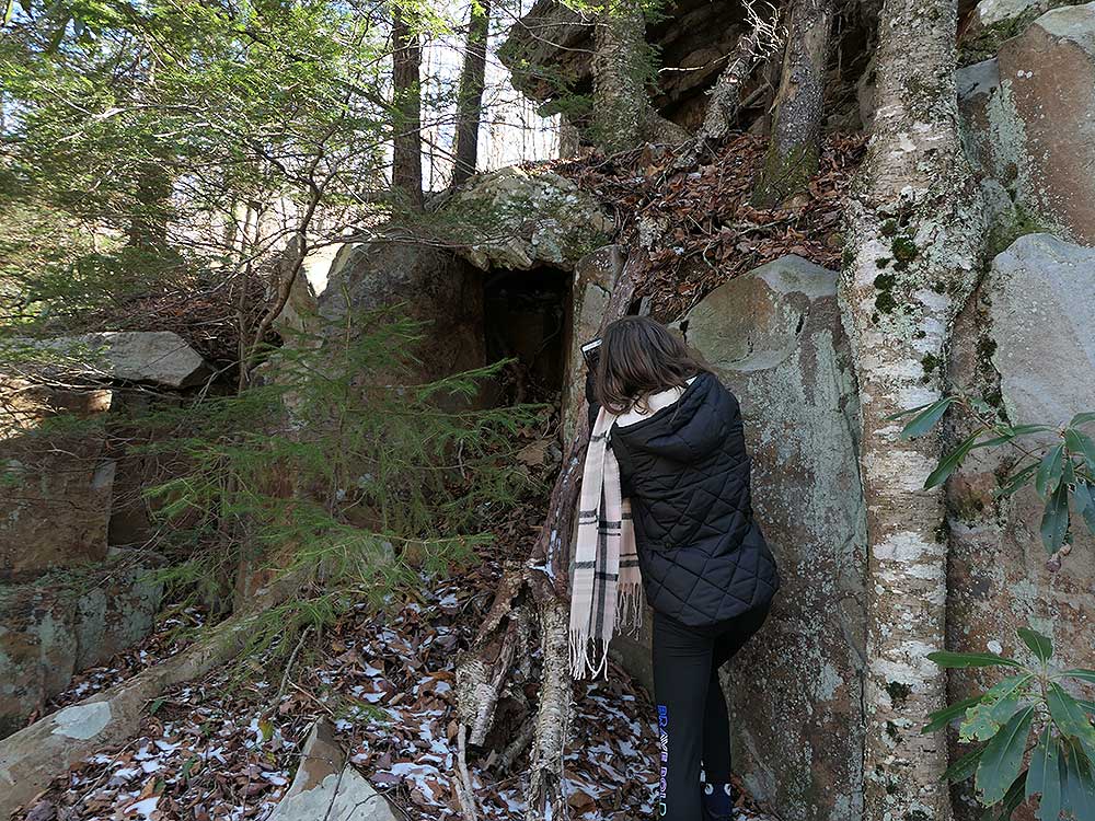
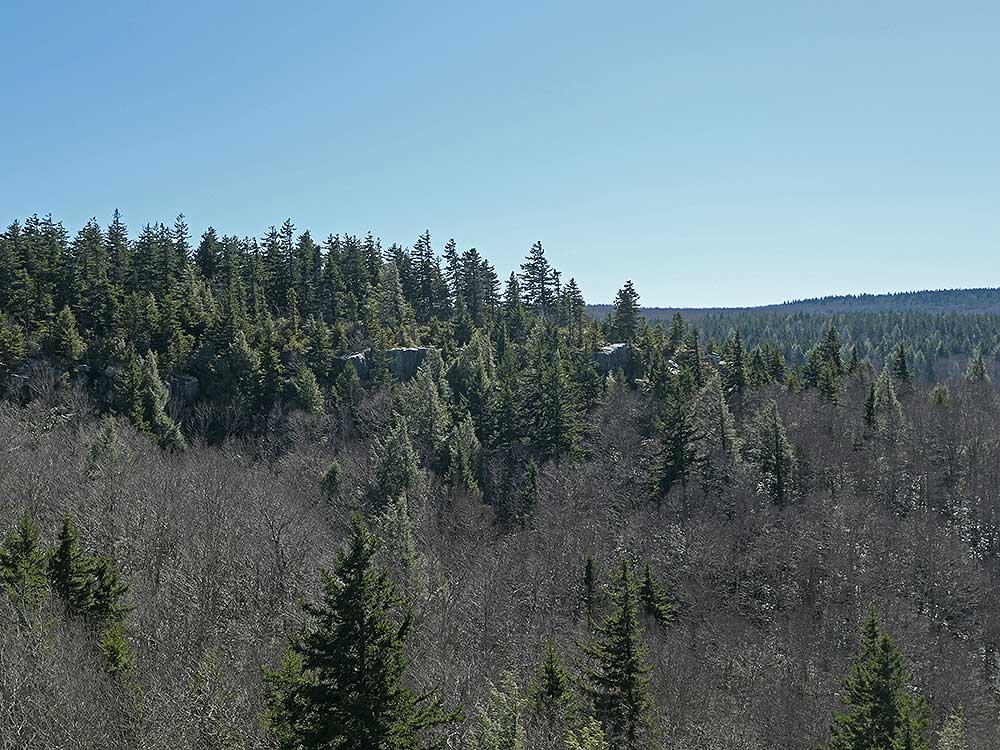
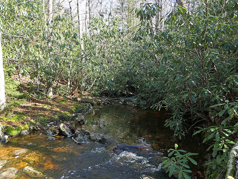
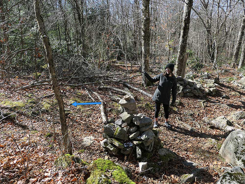
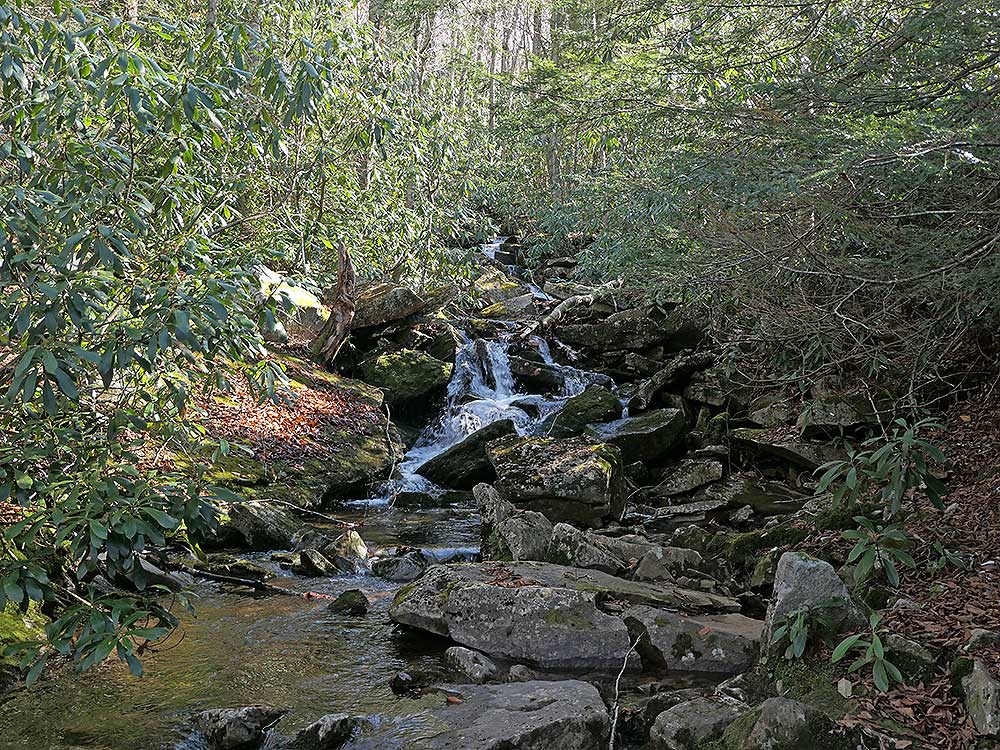
Mile 1.25 - Arrive at the intersection of the Rohrbaugh Trail (508), the Fisher Spring Run Trail continues to the right. Turn left on the Rohrbaugh Trail. Pass through a nice area of spruce then descend to another feeder stream for Fisher Spring Run. This stream is much larger than the first you crossed at mile 0.7. There is a small pool here, and looking upstream there several small waterfalls. The trail continues up the other bank and passes interesting rock forms before arriving at the next intersection.
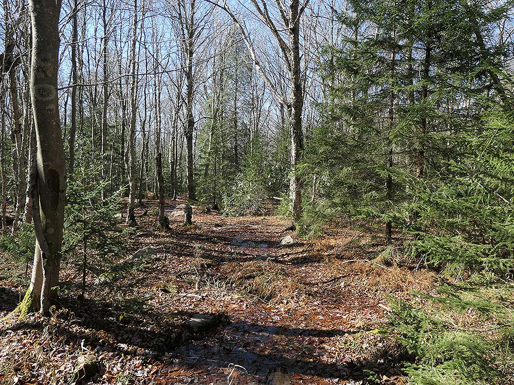
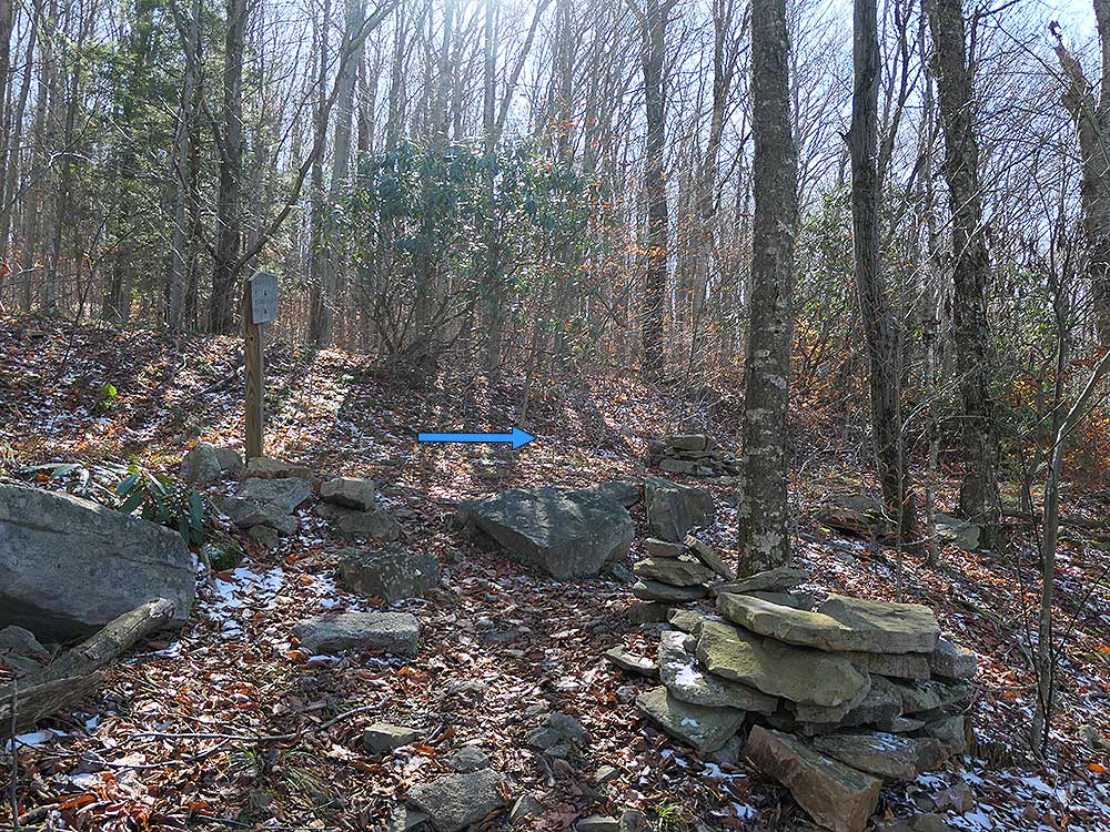
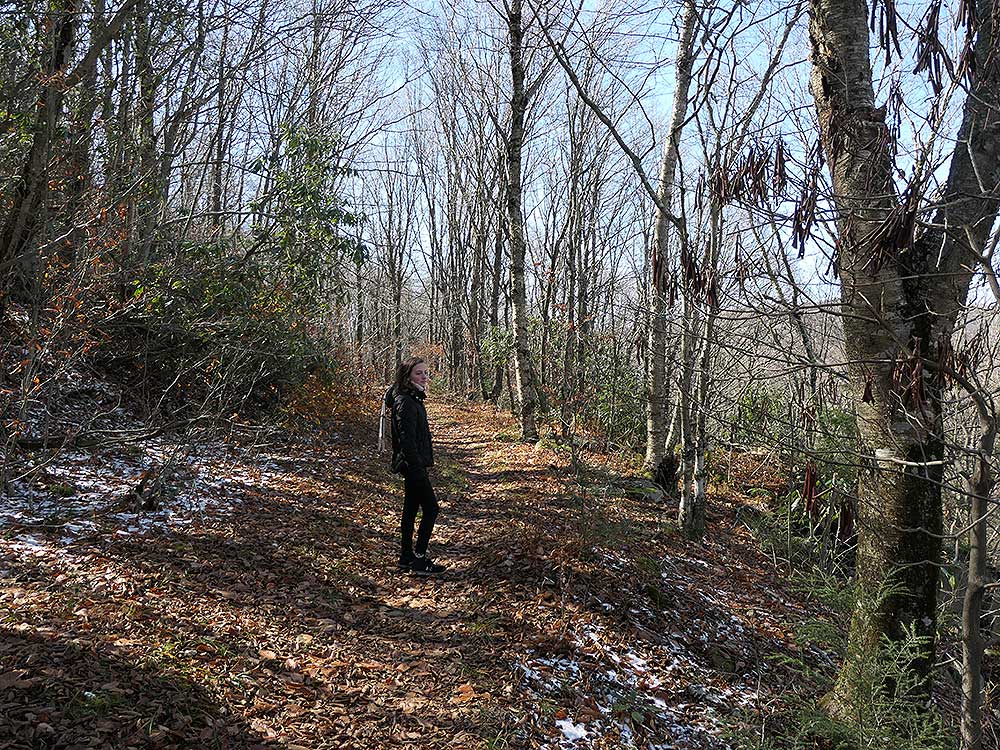
Mile 1.8 - Reach the intersection of the Wildlife Trail (560) and old forestry road. The Wildlife Trail is to the left and the Rohrbaugh Trail goes right. Stay right remaining on the Rohrbaugh Trail where it becomes wider.
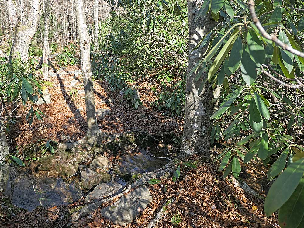
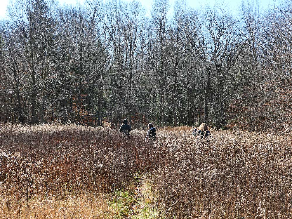
Mile 2.15 - Pass through a clearing with high grasses, then cross a very small stream. If you camp at the overlook this is the closest water source. Continue along the trail for a short distance to the first of the overlooks.
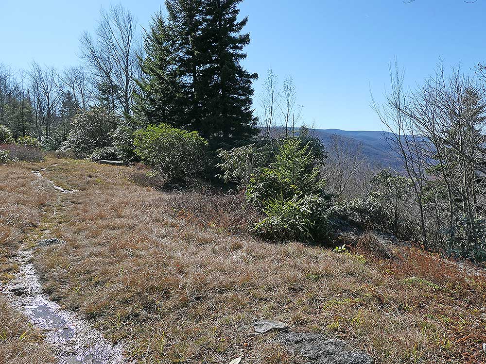
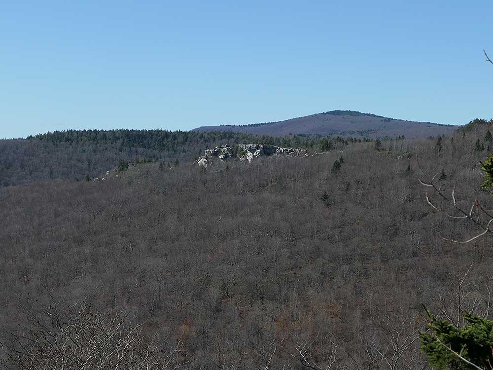
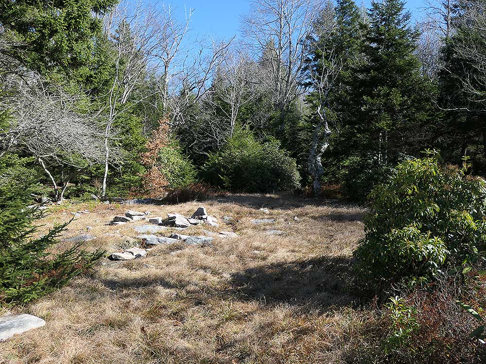
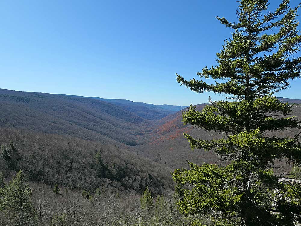
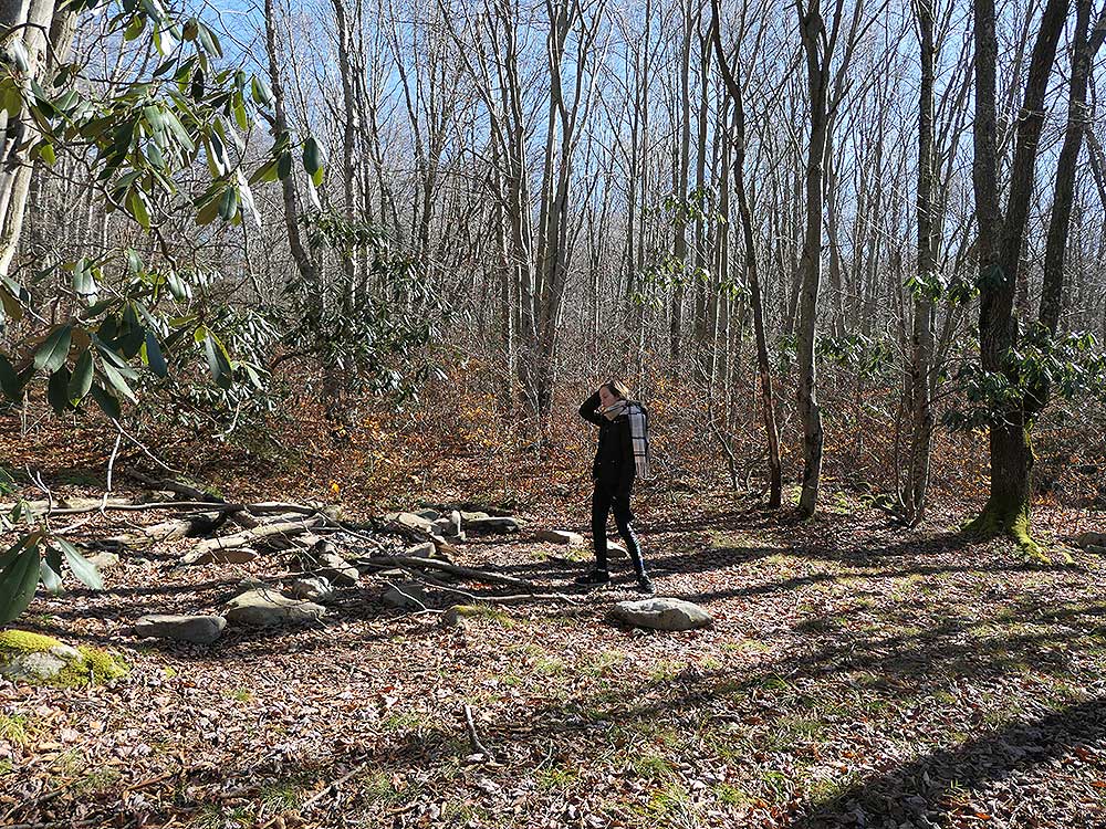
Mile 2.45 - Reach the smaller of the two overlooks. This is a minor viewpoint but has the best view of the Lions Head promontory on the other side of the valley. Behind the overlook on the other side of the trail is a large campsite suitable for a couple of tents. Continue on the trail for another 0.15 miles.
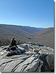
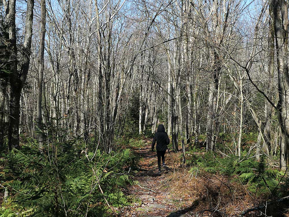
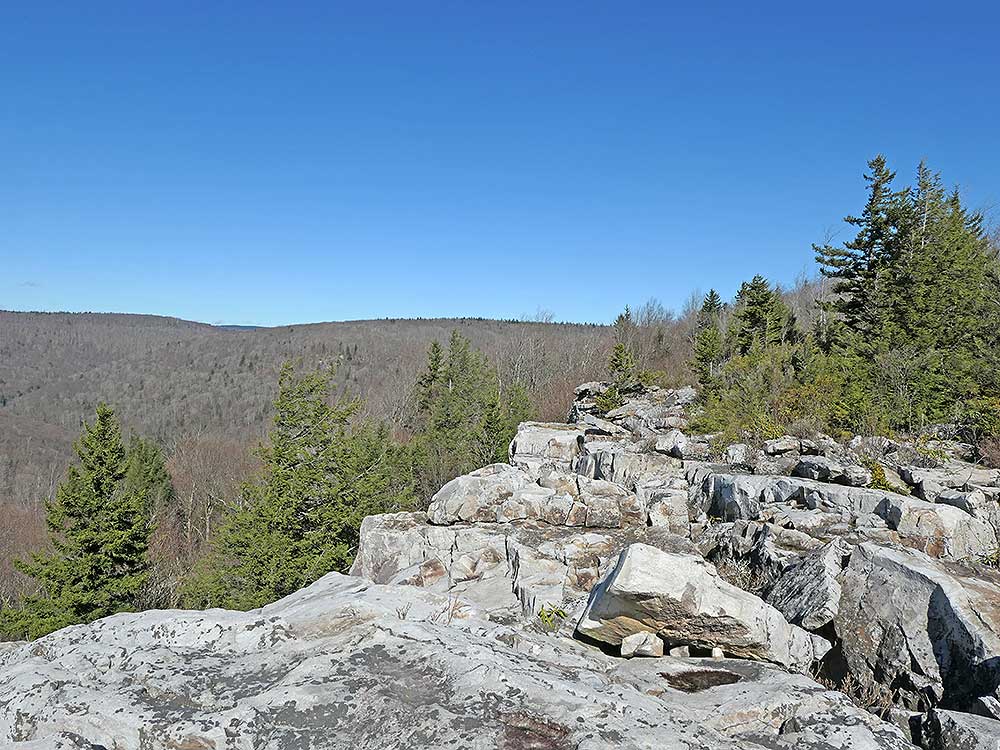
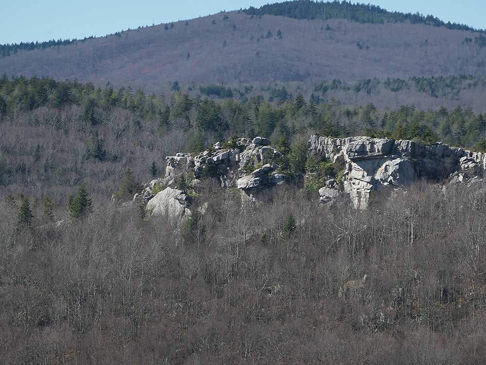
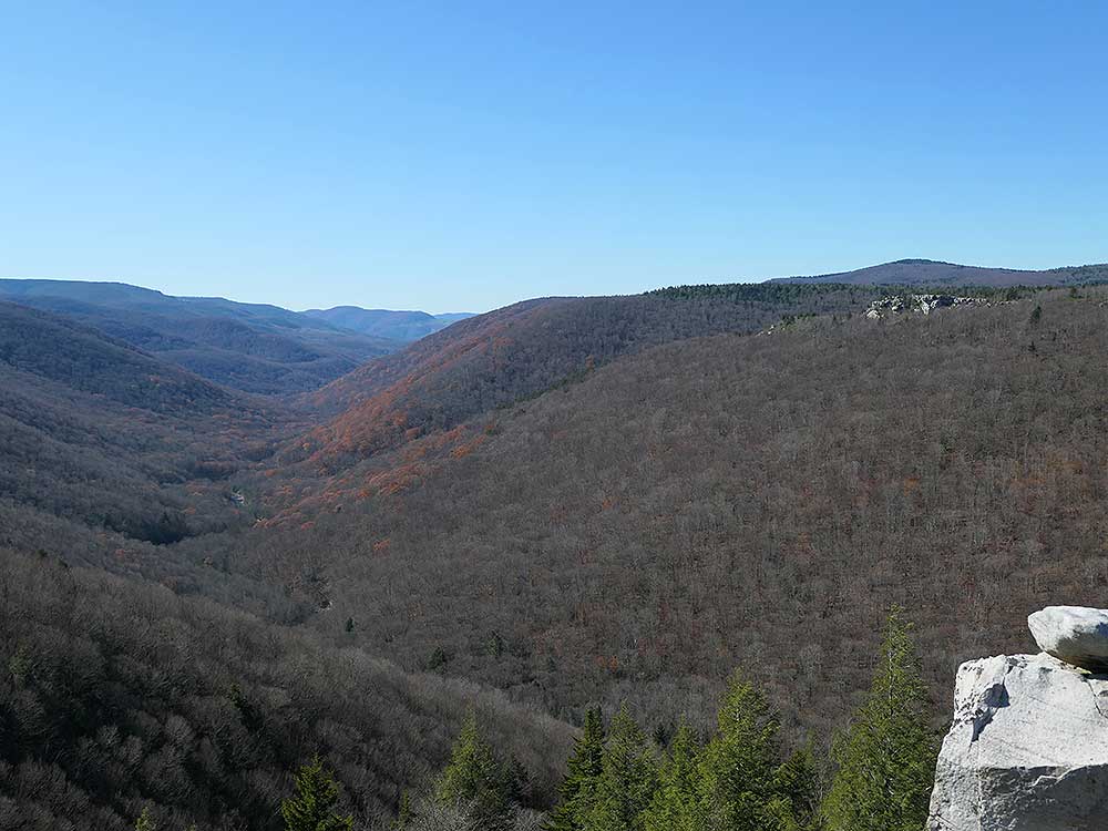
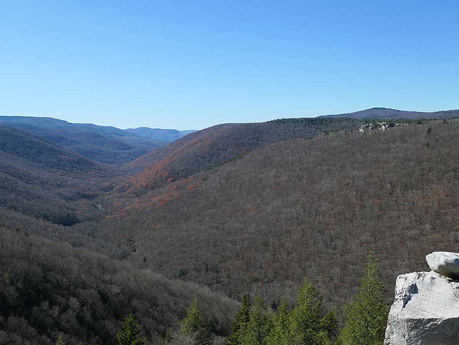
Mile 2.6 - Arrive at the main Rohrbaugh Cliffs overlook. From here there are expansive views of the Red Creek basin, Lions Head, as well as the cliffs further along the Rohrbaugh Trail. This is the turn around point for the hike. Retrace your route back to the Fisher Spring Run trailhead and parking area on FR 75.
Mile 5.2 - Arrive back at the trailhead parking area.

