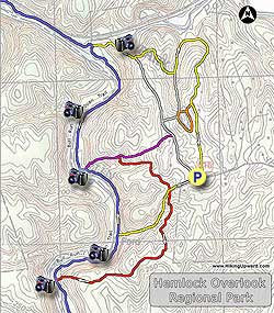
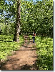
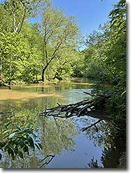
Along the banks of Bull Run near Clifton Virginia, Hemlock Overlook Regional Park has 8 trails dedicated to hiking and horseback riding. The perimeter circuit we have mapped here follows the banks of Bull Run along the Bull Run/Occoquan Trail passing the ruins of Virginia's first hydroelectric dam. Hemlocks can still be found on the red and yellow trails for which the park is named. This hike is one of several that can be found along Bull Run, including: Fountainhead Regional Park, Wolf Shoals, and Manassas Bull Run.
The main parking area is directly across from the Paradise Springs Winery, and a great way to spend the day is to hike the 3.8 mile perimeter circuit then walk over and enjoy a glass of wine on their large patio. The park also doubles as a accredited Outdoor Educational Center operated by Adventure Links. The group is focused on youth development, with a popular ropes course as part of the facilities.
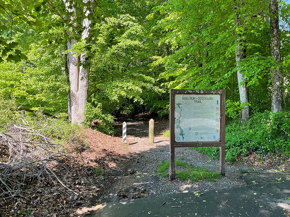
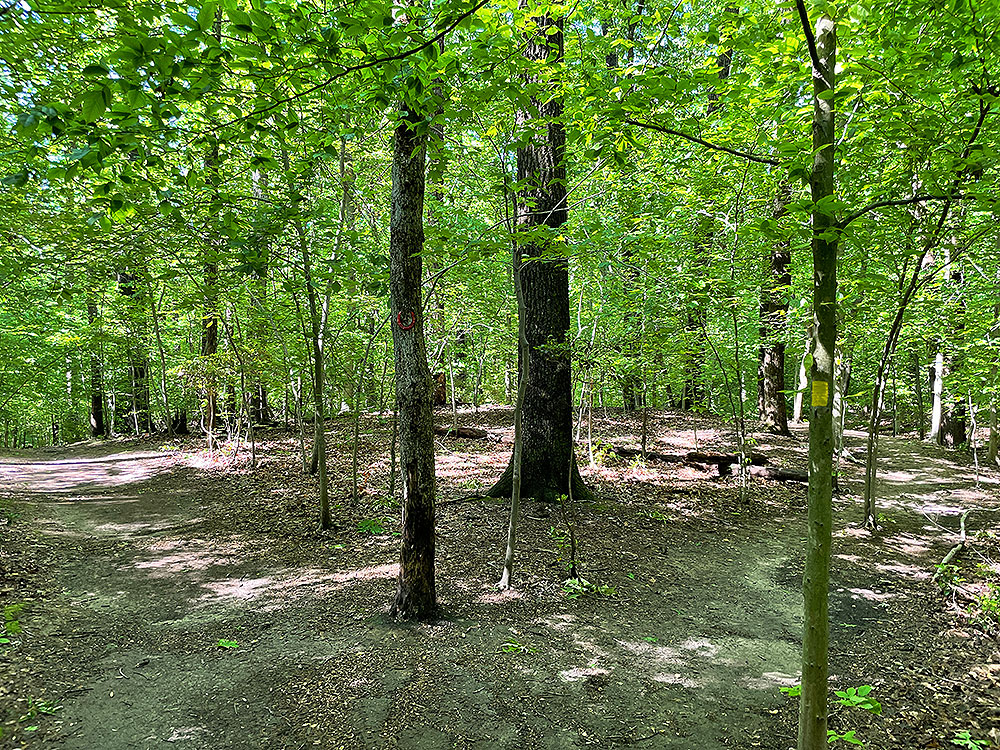
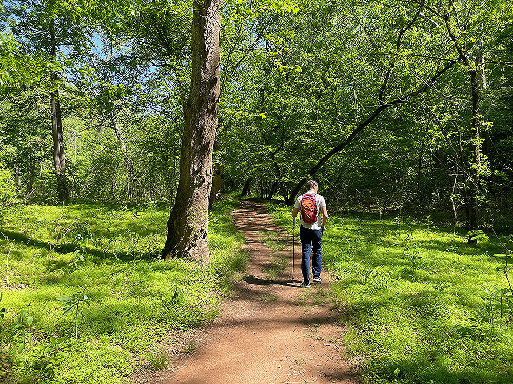
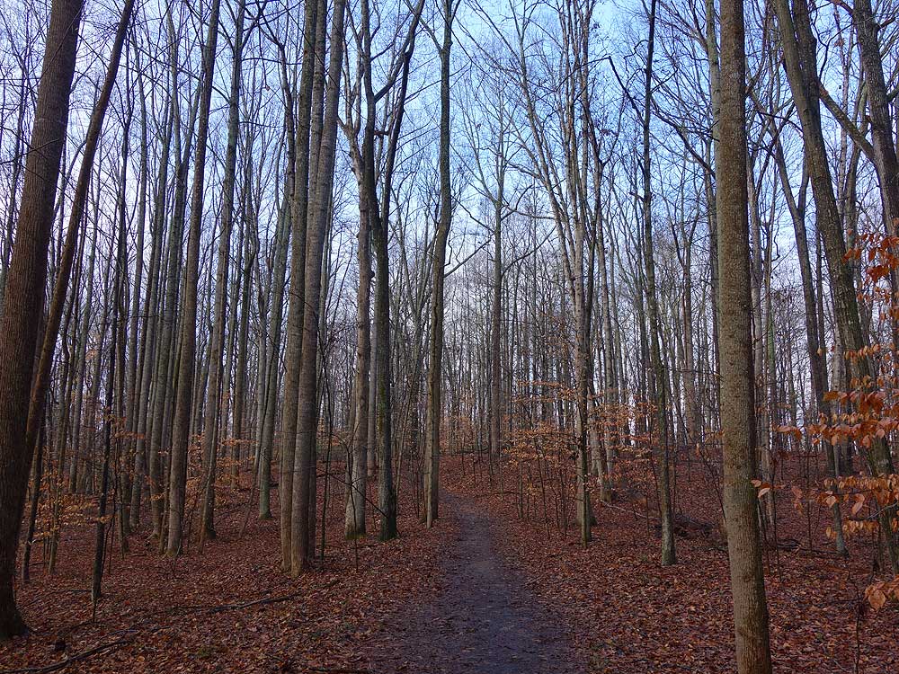
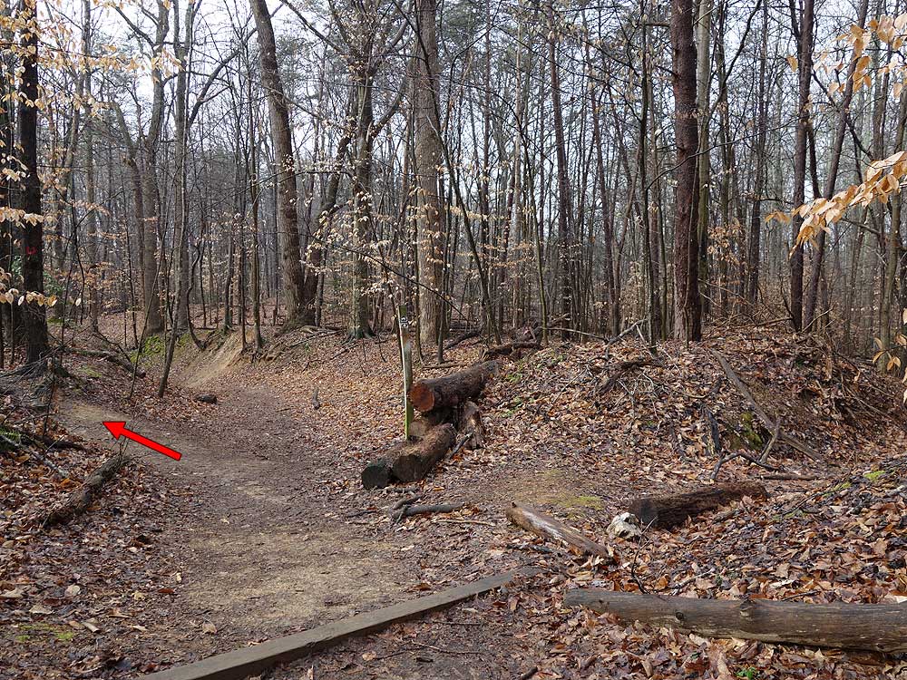
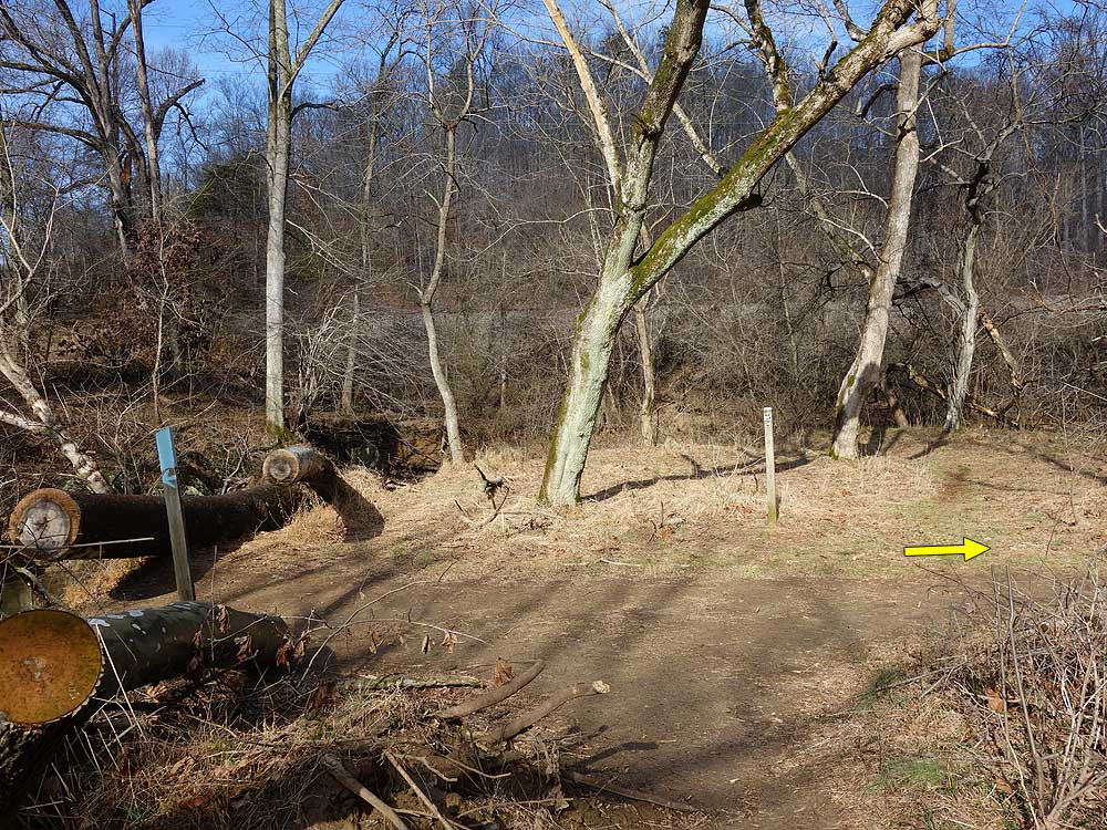
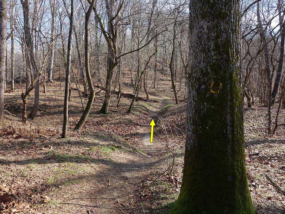
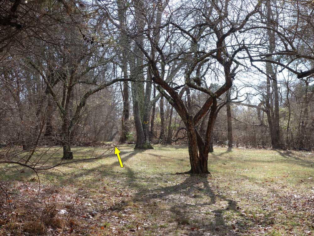
Mile 0.0 - Pass the kiosk and wooden posts then begin the hike down the wide yellow blazed trail. The trails are not named, however the colored trails have blazed trees in a horseshoe shape similar to markings found at Fountainhead Regional Park. The yellow blazed trail will arrive at the crossing of the red blazed trail in 0.13 miles.
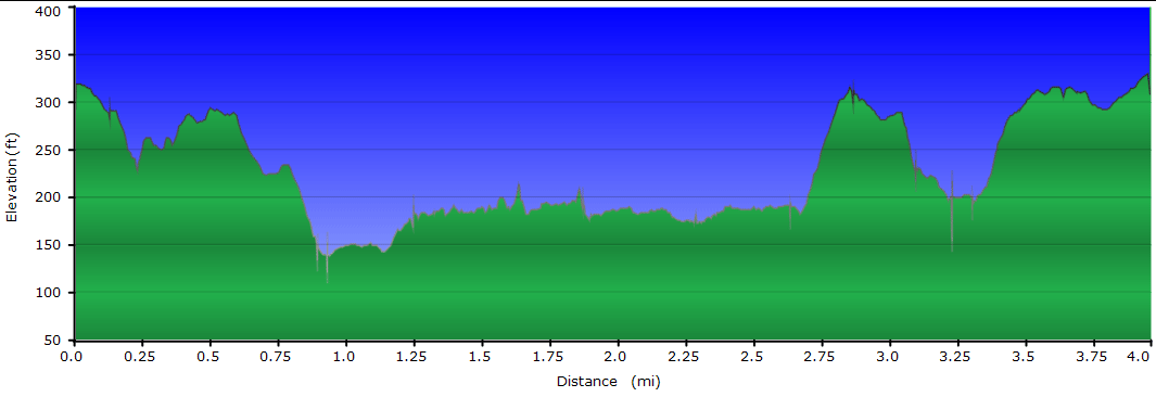
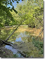
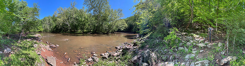
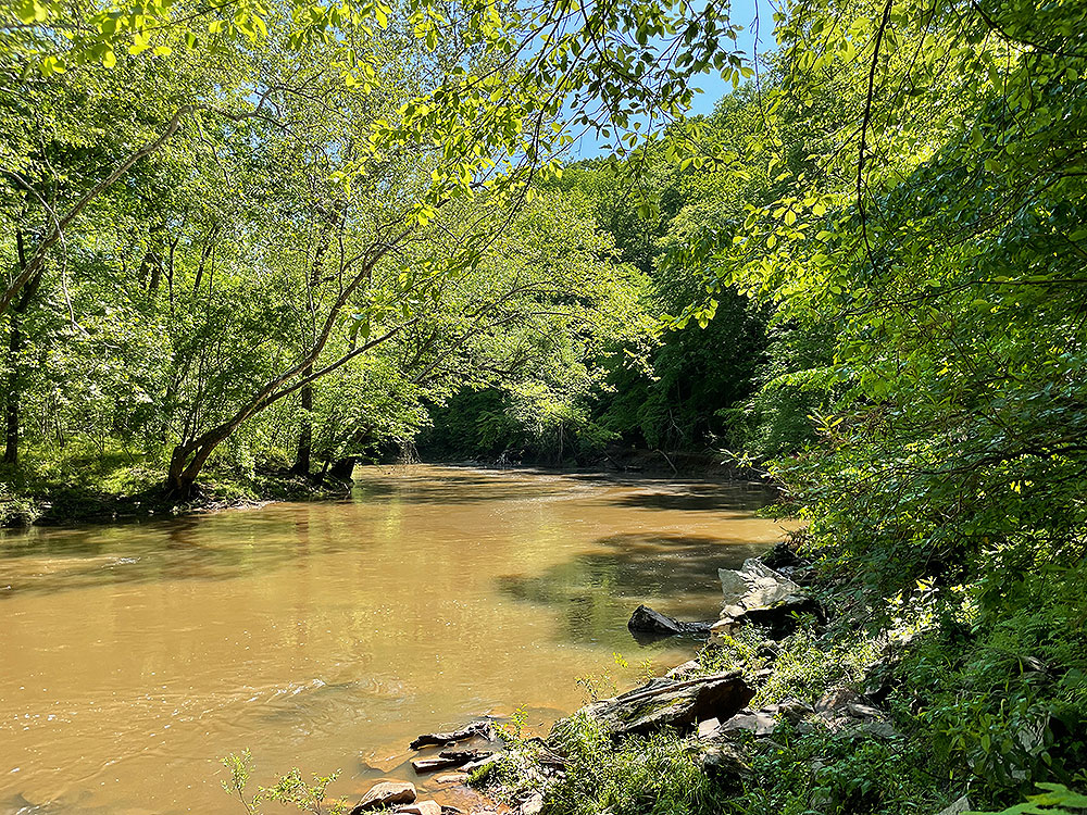
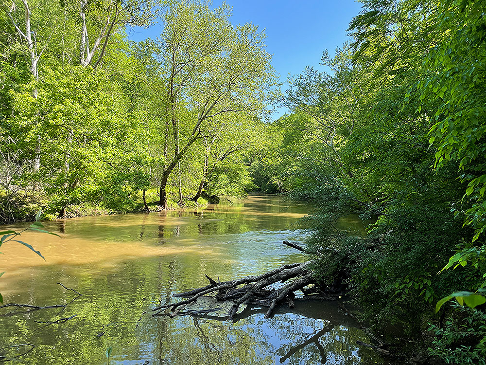
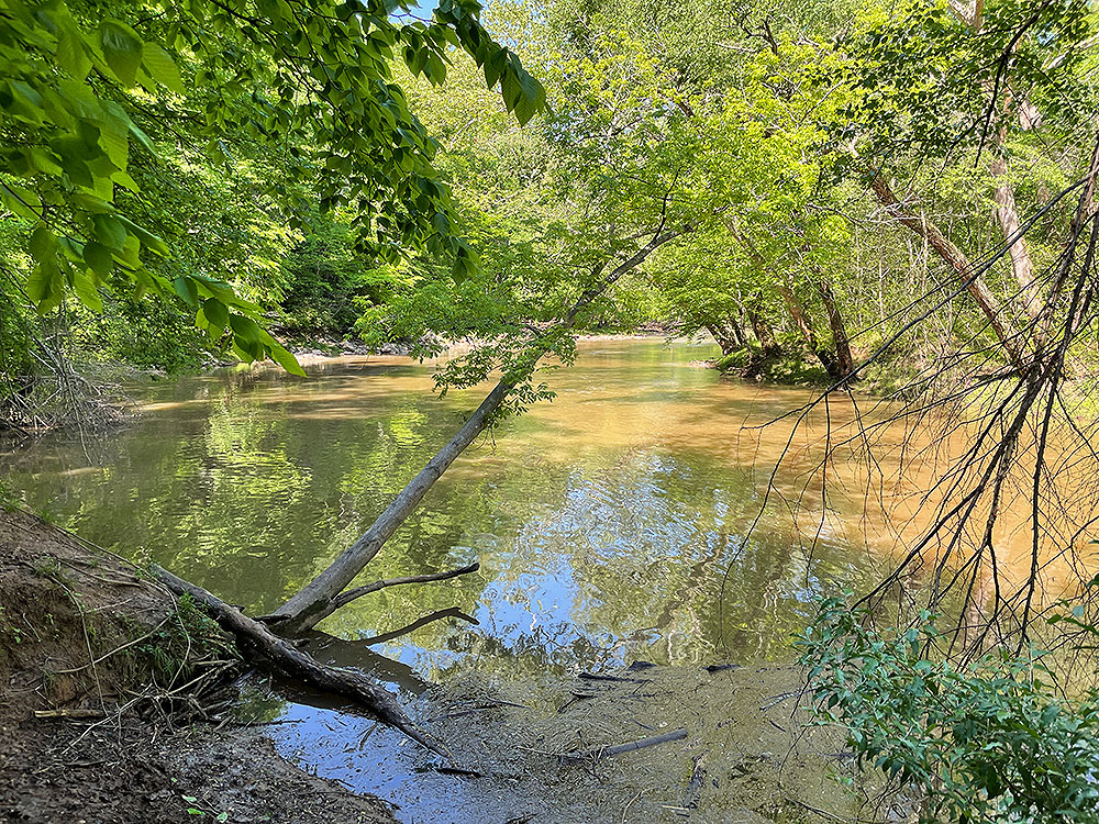
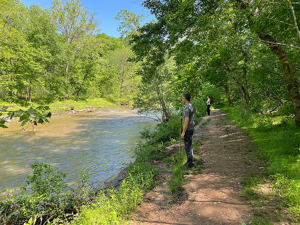
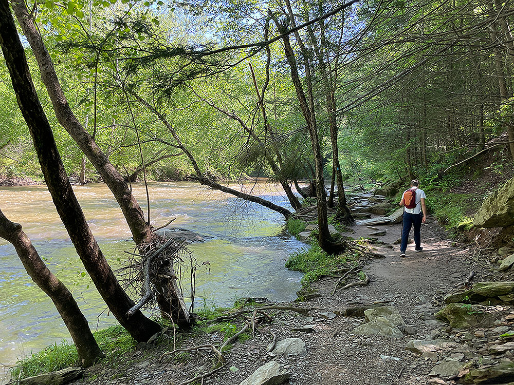
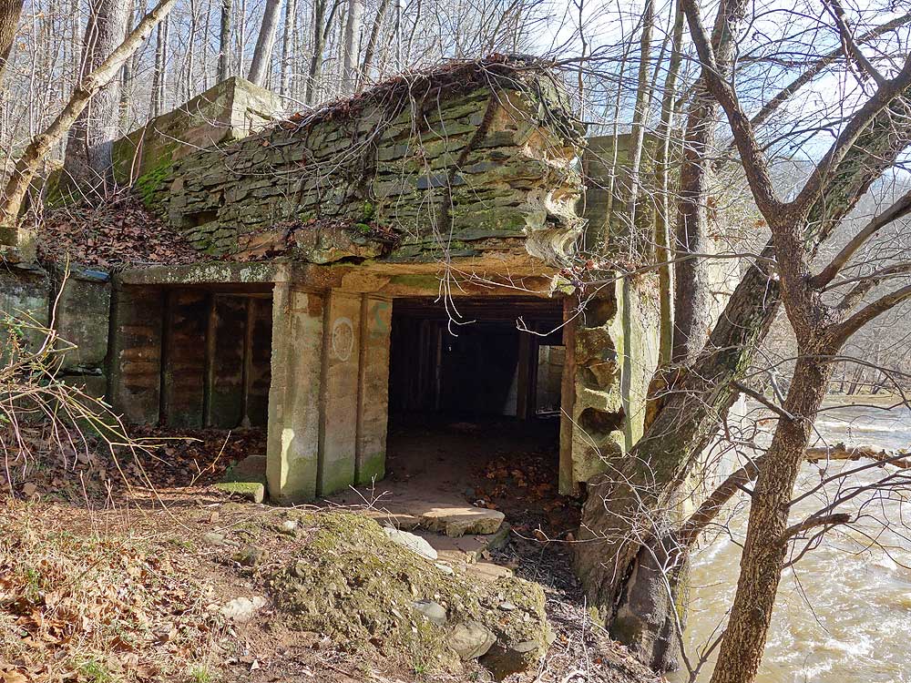
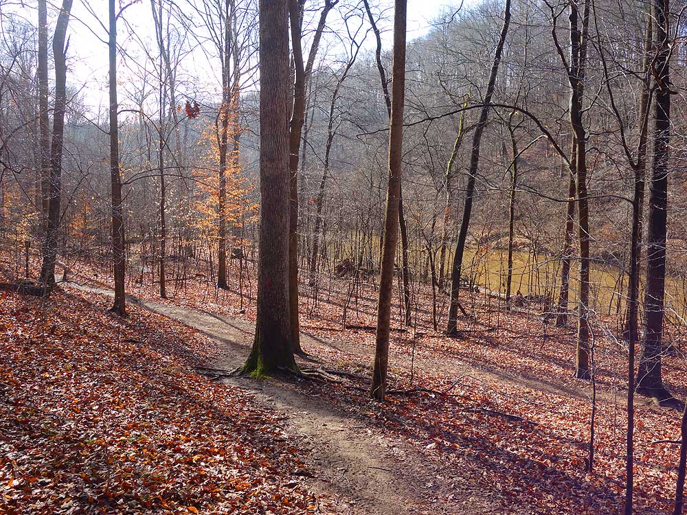
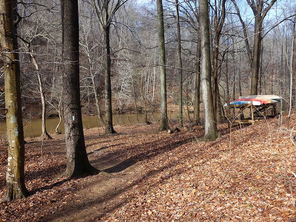
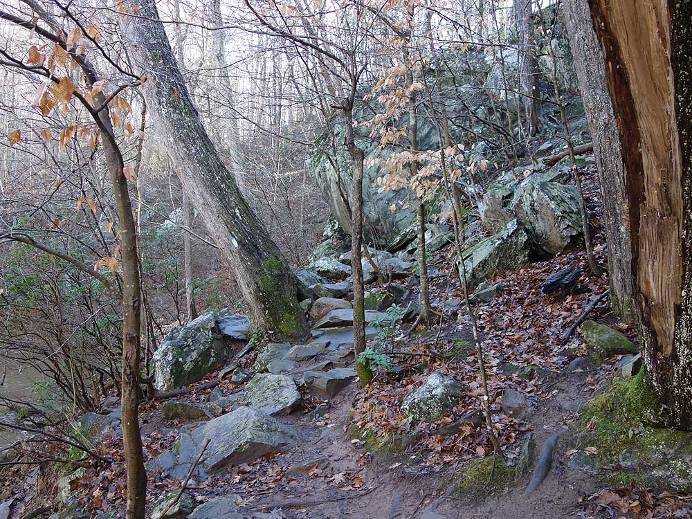
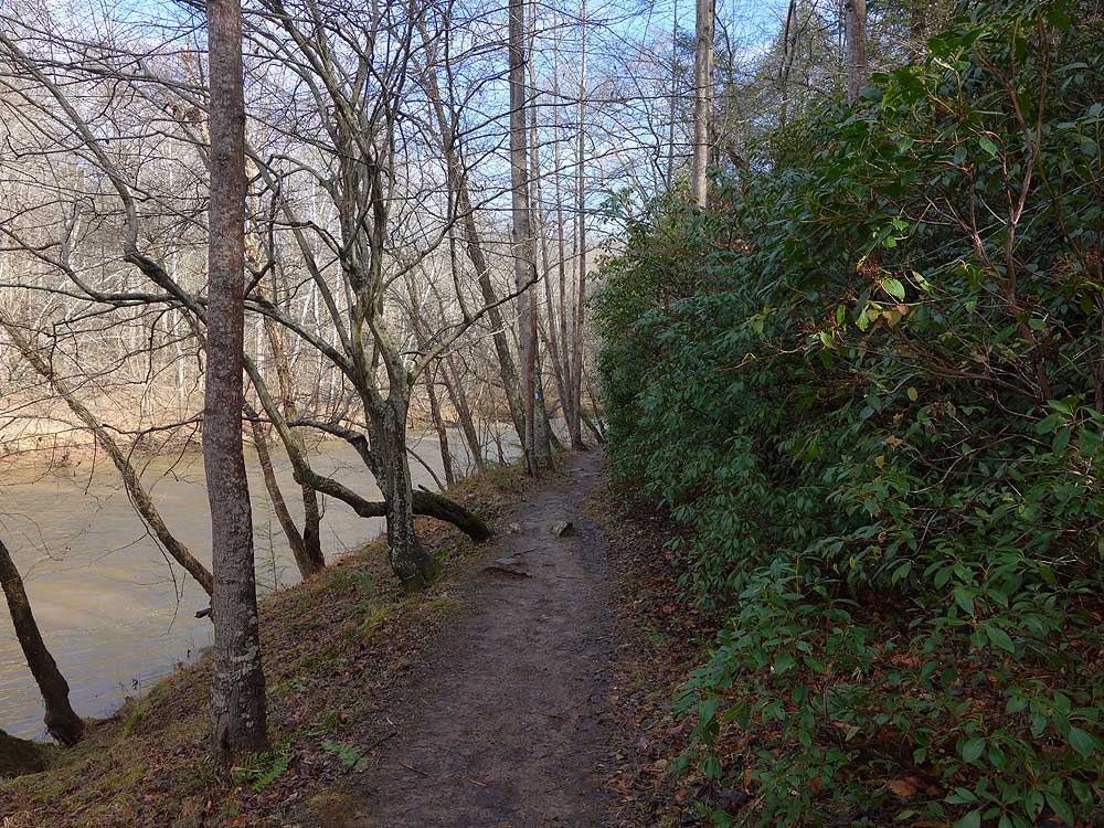
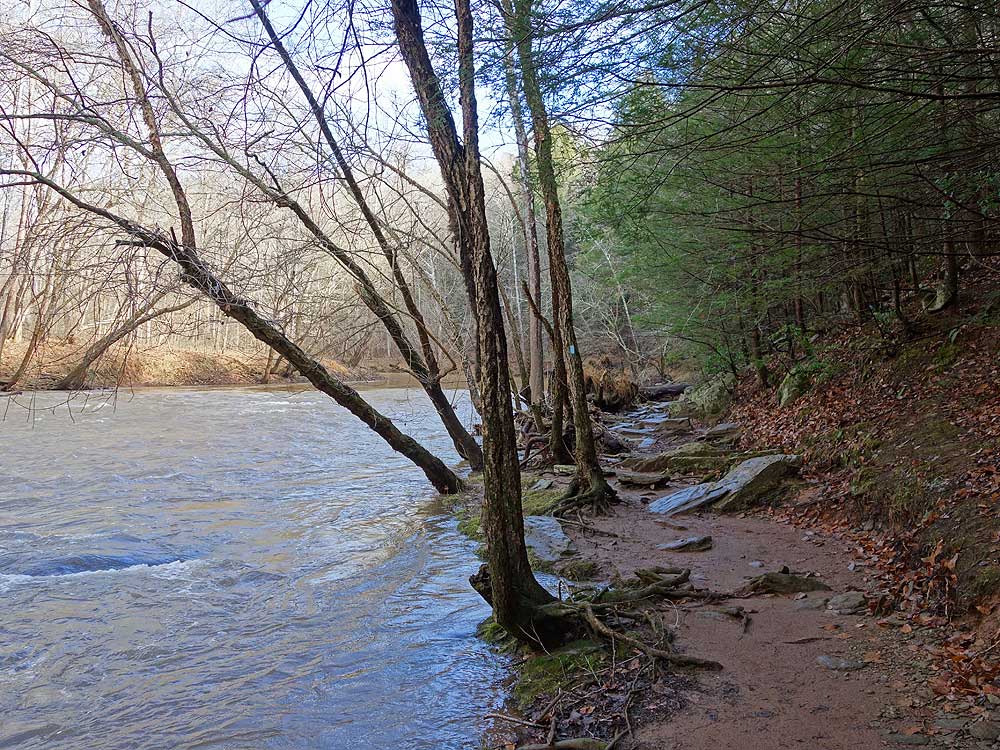
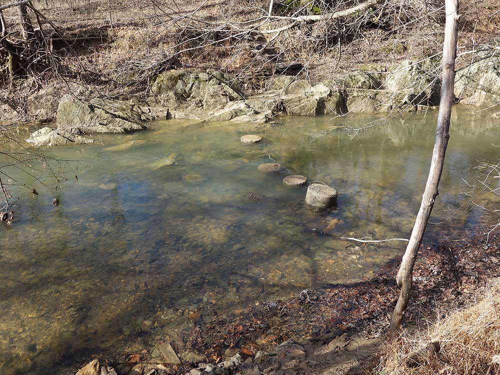
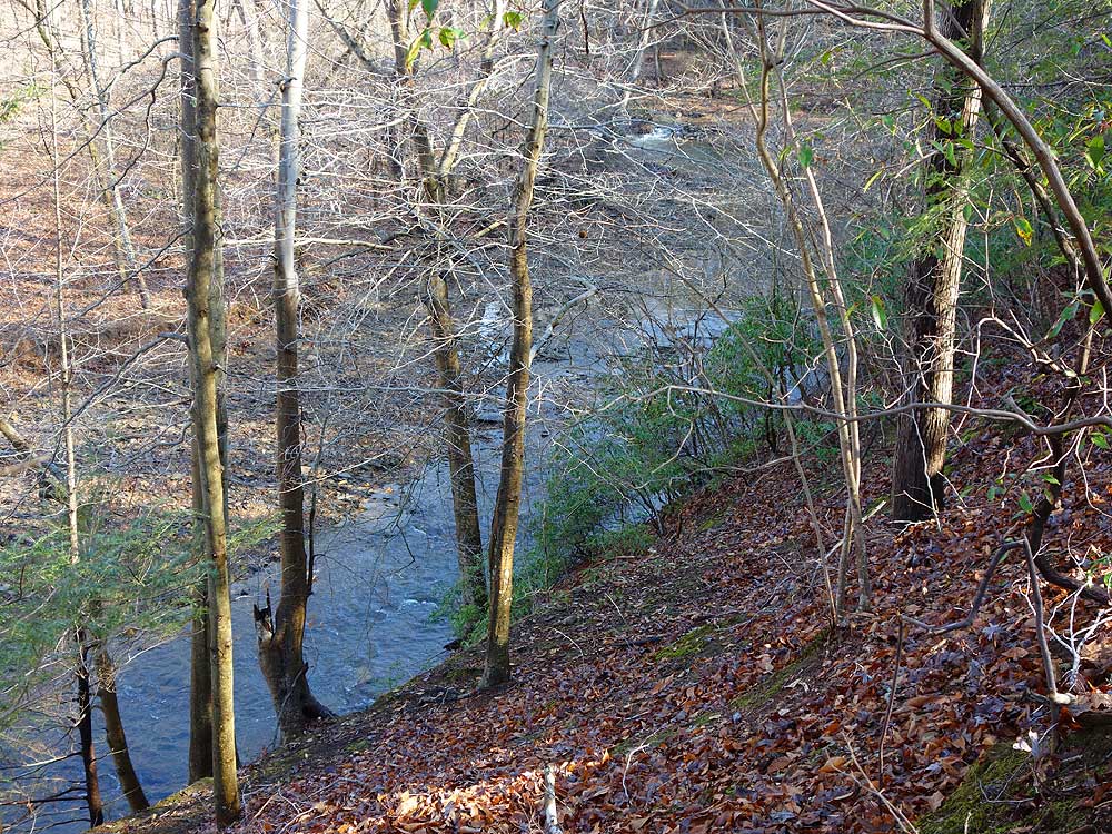
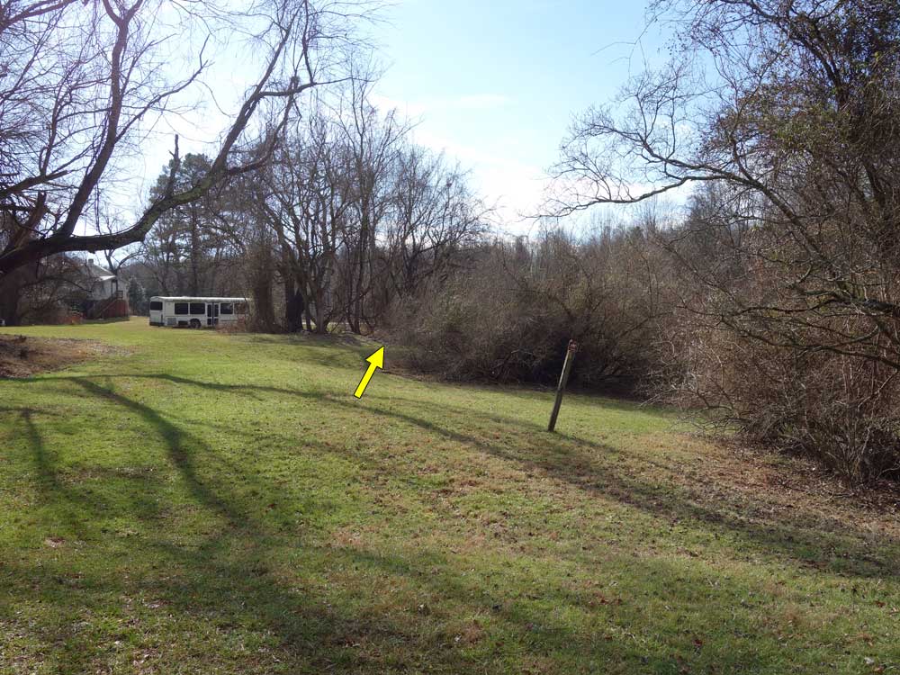
Mile 0.89 - Turn right on the blue blazed Bull Run/Occoquan Trail as it follows the banks of Bull Run. This section of Bull Run is 2.5 miles upstream from Occoquan Reservoir. The trail will traverse along a steep bluff and the rockiest section of the hike, the flatten out and pass the terminus of the yellow blazed trail at mile 1.29. Continue along the blue blazed trail and banks of Bull Run and arrive at the ruins of Virginia's first hydroelectric dam, and terminus of the purple blazed trail.
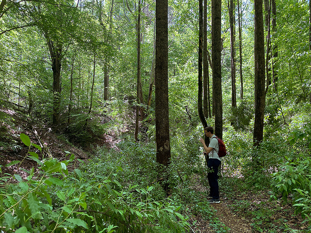
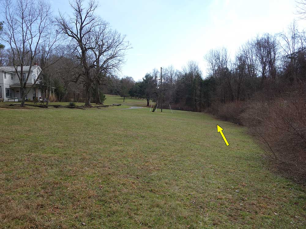
Mile 2.38 - Turn right uphill on the yellow blazed trail and pass a view of Popes Head Creek through the trees. At the top of the ridgeline the yellow blazed trail will make a left at the next trail junction. The trail that continues is unblazed and ends at the Outdoor Educational Center.
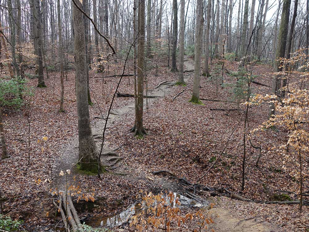
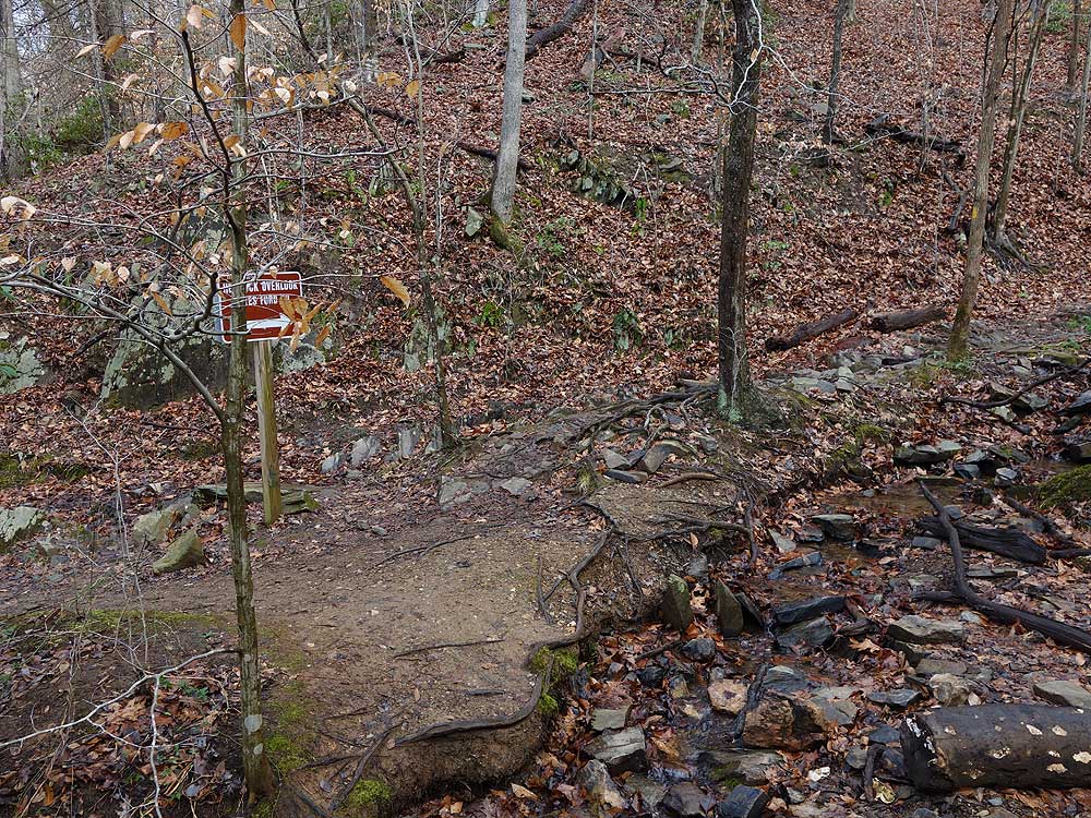
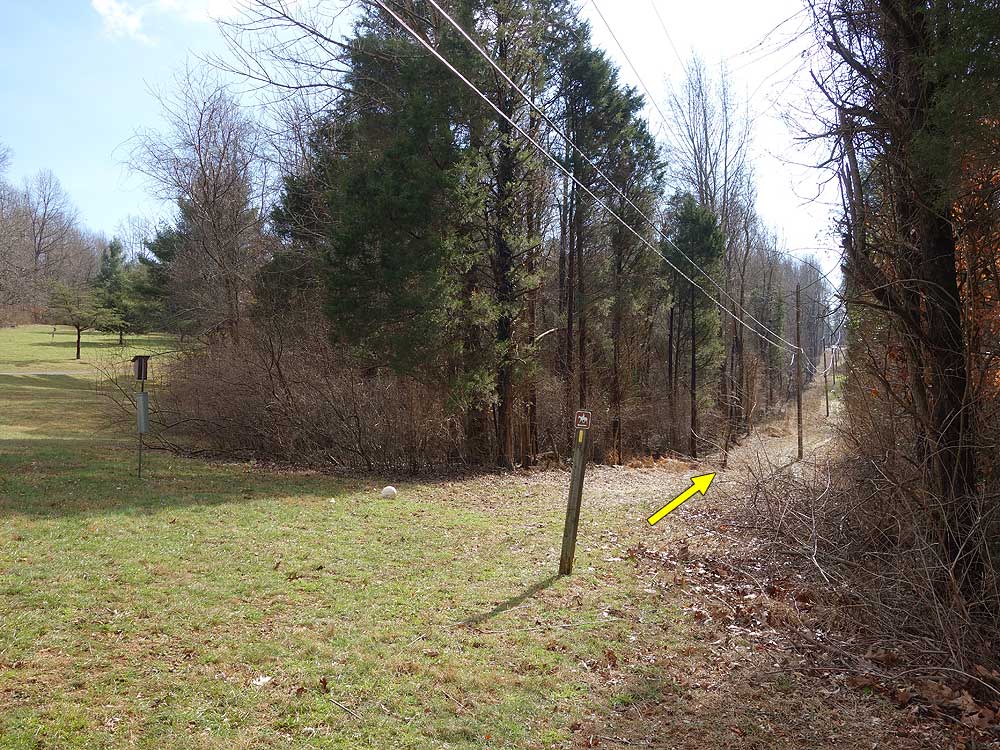
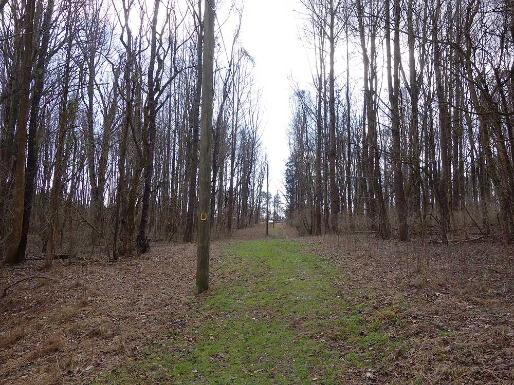
Mile 2.62 - Turn left on the yellow blazed trail heading downhill and arrive a the next intersection and creek. The unblazed trail right ends at the park pond.
Mile 3.8 - Arrive back at the parking are on Yates Ford Rd.
Mid May
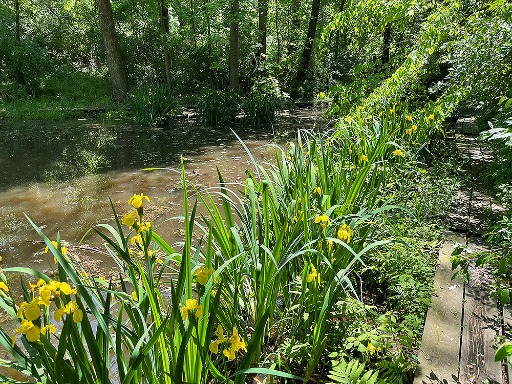
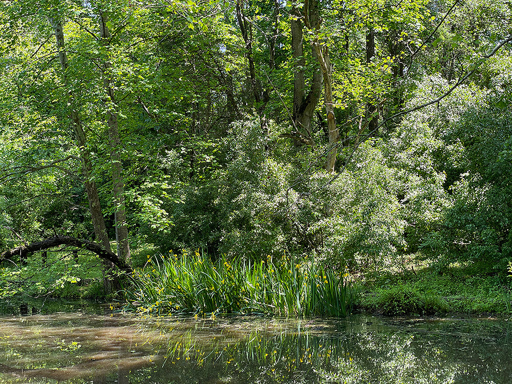
Bull Run Creek
Hemlock Overlook Regional Park Hike Comments
Archived Comments
By:Lori L. D.
Rating:
Date of Hike: Monday, July 1, 2019
WHEN YOU REACH THE CONCRETE PILLIONS, TURN RIGHT. DO NOT CROSS THE RIVER. The instructions here don't make it clear enough. We kept going and had to turn back and ran into another hiker who made the same mistake. The turn off to the yellow blazes is hard to spot without knowing this tidbit.
Otherwise, I enjoyed this hike as we had nice river views, a little bit of a challenge with the rocky bits along the shore, and lots of flora and fauna around. There were a few off leash dogs in the river. Some were better behaved than others. I can see it being a problem sometimes. The trail can get kind of muddy if it rained recently.
By:Margie Remmers
Rating:
Date of Hike: Saturday, May 27, 2017
This was a great little hike--a nice variety of wooded areas, water views, and a bit of scrambling over rocks. HOWEVER, we were never able to find the connection to the yellow trail at Popes Head Creek (Mile 2.62). Same with several hikers we encountered along the way. It was very frustrating. We had to call for help and eventually double back, instead of going around the loop. Not sure who to contact to adjust either this guide or the markings on the trail.
By:Jeff P
Rating:
Date of Hike: Saturday, February 25, 2017
Great trail so close to town and clearly marked. I really enjoyed this hike. We followed the instruction above and found it to be very useful. There were a number of people on this trail at times but not as busy as other locations (Great Falls/Old Rag). I would definitely go back. Many options near the water to sit and relax if you choose and enough variety of trail to keep you interested. My favorite hike so far this year.
By:Jeff
Rating:
Date of Hike: Saturday, February 18, 2017
A warm February day is a must-hike day. We enjoyed the trail and the views through the leafless trees. Lots of people on the trail, and with all the spots to stop and enjoy the area, I can see why. The trail is well-blazed. Definitely recommend it for all types looking for a short hike.
The instructions here on HU are a bit confusing unless you can pull up the picture while hiking. Where it says "At this point the Bull Run/Occoquan Trail crosses the creek over several concrete pillions.", DO NOT go down the steps and cross the river. Turn right and look for the yellow blaze. (We thought it meant to cross the river, then turn right.)
By:Sean
Rating:
Date of Hike: Friday, April 22, 2016
Overall a nice hike. The walk along Bull Run is very nice and I found the hydroelectric plant ruins interesting. The trail runs in part along the very edge of the Bull Run bank a few feet above the water so don't be looking at your map for too long or you'll be wet. The park is apparently near a shooting range and most of my hike was accompanied by the constant sound of shotgun blasts -- so, not a peaceful experience. Dogs off leash on the trails (against Park Authority regulations) were sometimes scary. Bonus points for being less than an hour from DC.


