On September 17, 1862, at what is now the Antietam National Battlefield near Sharpsburg MD, Union and Confederate armies fought each resulting in over 23,000 casualties. There were three primary engagements that day that would become know as The Cornfield, Bloody Lane, and The Burnside or Lower Bridge.
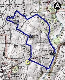
The Bloody Lane loop hike is the sister hike to the Burnside Bridge hike, and starts at the same parking area on Rodman Ave. This loop is the northern loop where you walk along Bloody Lane, pass the visitor center, and return along Antietam Creek.
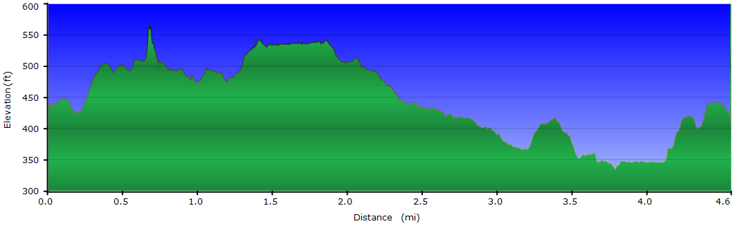
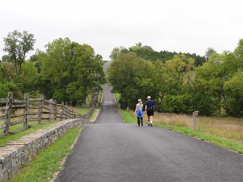
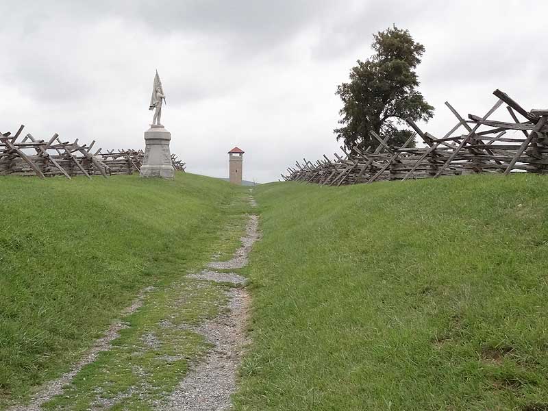
Mile 0.0 – Park at the small pullout on Rodman Ave and intersection of US34/Boonsboro Pike. Cross over US34/Boonsboro Pike and follow paved Rodman Ave for the first 0.7 miles to the Observation Tower.
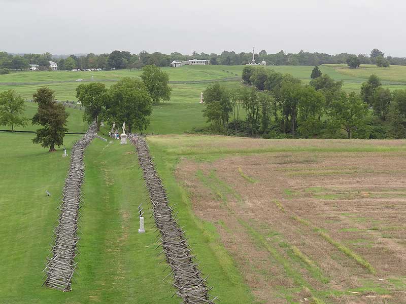
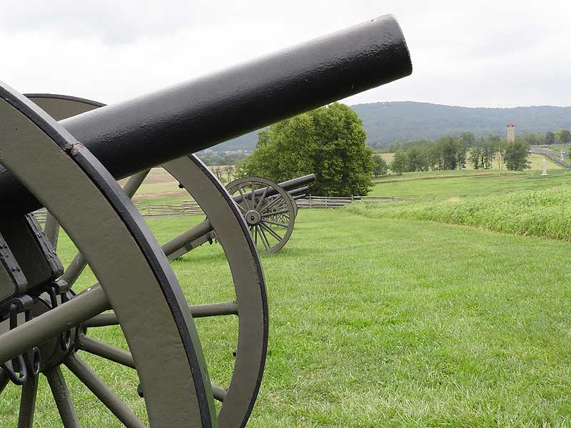
Mile 0.7 - From the top of the Observation Tower you have a panoramic view of the entire northern Antietam Battlefield, with the view to the northwest looking directly up Bloody Lane and the Antietam Battlefield visitor center in the distance.
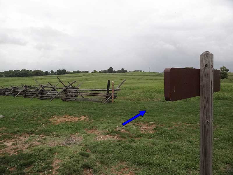
Mile 0.7 - Walk down Bloody Lane for 0.3 miles. Where the Bloody Lane Trail meets back with the road it will turn right in to the field for 0.1 miles before turning left towards the Visitor Center. Shortly crossing a road and climb the small hill to the Visitor Center.
Mile 1.6 - Head back down the field you just climbed to the Visitor Center and now turn left on the small paved road you just crossed. Follow the road down to Mumma Farm.
Mile 1.9 - Turn right at the information kiosk and Three Farms Trail as it descends a passes around the Roulette Farm. Continue down the trail for another 0.2 miles and reach the intersection of the Bloody Lane Trail.
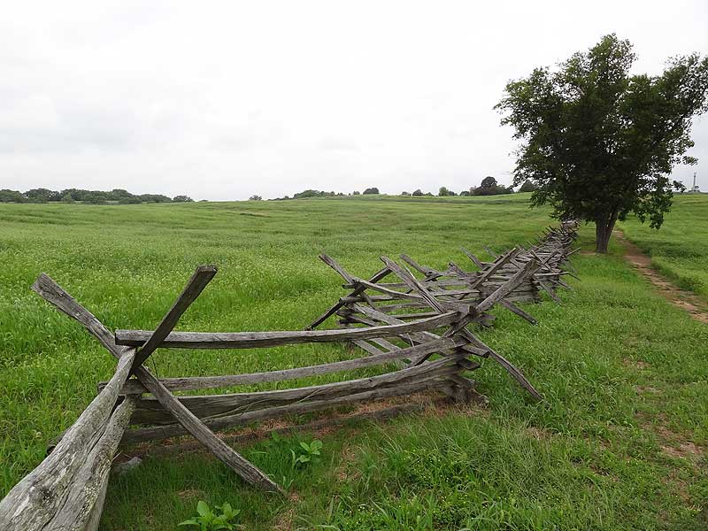
Mile 2.1 - Turn left remaining on the Three Farms Trail as it passes two fields then bears right going through a wooded area and crossing a ridge. The trail will reach Antietam Creek and pass underneath US34 in 1.6 miles from the Bloody Lane intersection.
Mile 3.7 - Continue to follow The Three Ridges Trail for another 0.5 miles to the intersection of the Sherrick Farm Trail.
Mile 4.1 - Turn right uphill on the Sherrick Farm Trail and pass two fields for the remaining 0.5 miles back to the parking area.
Mile 4.6 - Arrive back at the parking area on US34/Boonsboro Pike.
Mid August
Bloody Lane
Antietam Bloody Lane Hike Comments
Archived Comments
By:Sean
Rating:
Date of Hike: Thursday, October 13, 2016
A nice hike, informative too depending on how much time you devote to numerous historical signage and monuments along the path. Most of it is in open area, maybe one-fourth or so in "woods." It's a fee area, $5 for individuals and $10 for cars as of this writing. The fee can be paid in the visitor center at the counter where you enter. In exchange you'll get a nice map with additional historical information. The gift shop has guides on individual trails, for a dollar each, that provide considerable detail. There's a 27-minute reenactment movie in the visitor center that runs every hour and half hour.
By:SarahandMatt
Rating:
Date of Hike: Saturday, February 22, 2014
We choose this hike because it was close to home (an hour's drive) and close to some good food (Shepardstown). The day started out chilly and wuickly warmed up with lots of sunshine. There is not a ton of shade on the first stretch of this hike. We hiked up to the tower which was neat. We then proceded to walk down the sunken road (Which we were not sure if we were allowed to walk there or stay to the road, so we walked in the grass) We came to a sign that said Bloody Lane Trail, and was a right hand turn into the cornfield, I thought this was the correct way. I was wrong, which was not a huge deal, just did not get a chance to complete the bloody lane portion. We made our way up to the visitor center, where you had to pay for the museum (which we did not go to). Then retraced our wrong directions back to the woods. The foot of snow, and inch of ice made it a little hard to travel, but was fun and different.
Overall a good chilly day hike, when you don't want to tackle too many miles, or want a short stroll through the woods and battlefield.


