The Bottom Creek Gorge Preserve, located south of Roanoke in the highlands of the Blue Ridge Plateau, features a spectacular gorge and arguably the tallest waterfall in Virginia. Before joining Goose Creek at the downstream end to form the South Fork Roanoke River, Bottom Creek flows through a narrow ~3-mile gorge that varies between 200 feet in depth at the upstream end to 900 feet in depth at the downstream end.
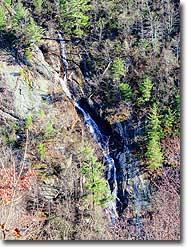
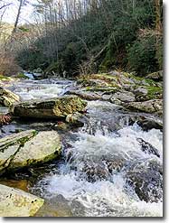
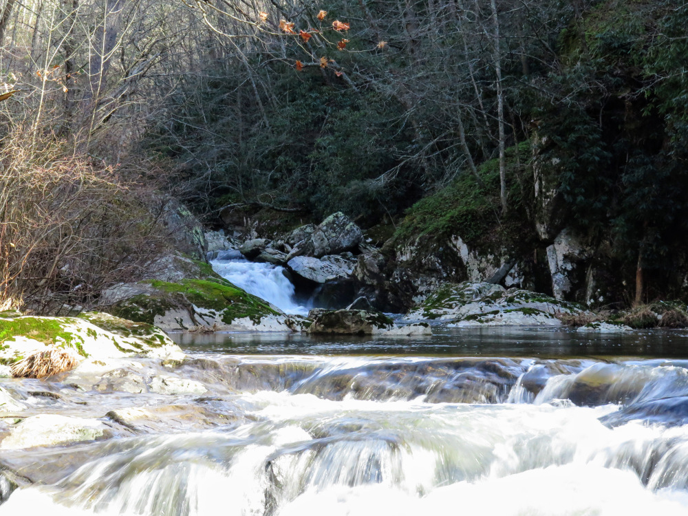
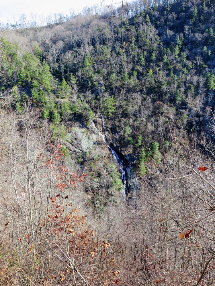
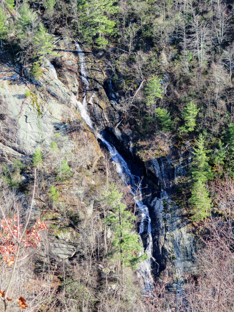
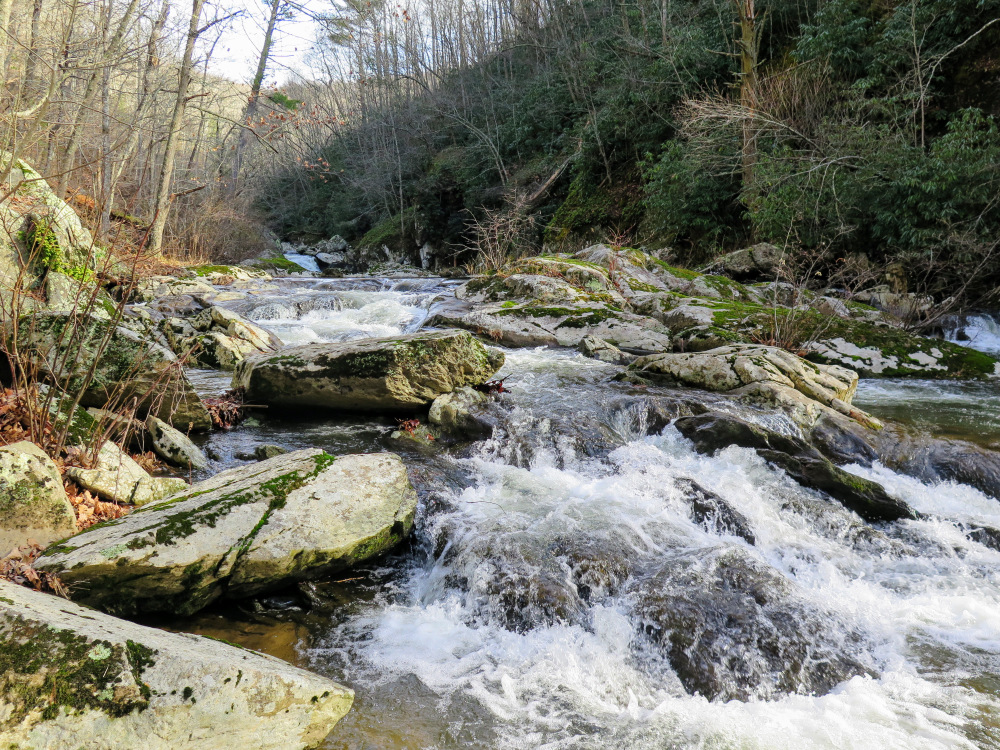
On this hike you'll pass by “The Kettles” when you enter the gorge, a series of enormous rapids in succession that beg to be explored further. The highlight of the hike is the overlook for Bent Mountain Falls, listed as the 2nd highest waterfall in Virginia at 200 feet. Camp Creek cascades and freefalls directly into Bottom Creek from the mountains above, creating a spectacular vista. It is arguably the tallest single waterfall in Virginia including the series of cascades above the lower drop, ranging between 340-370 feet high. Either way, the Bottom Creek Gorge Preserve is a relatively unheralded gem that is worth a visit.
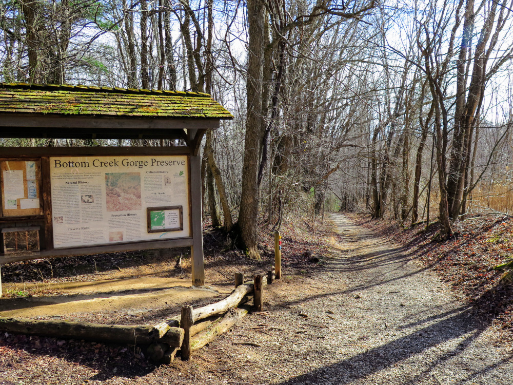
Please note: Dogs are not allowed at any Conservancy preserve.
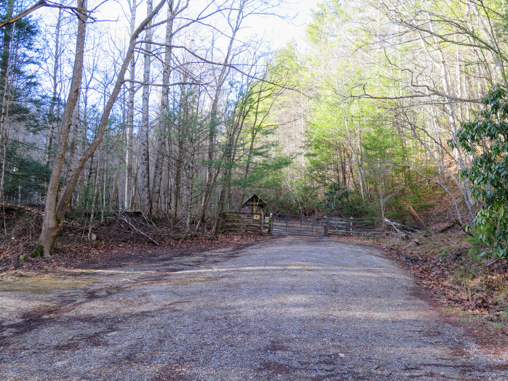
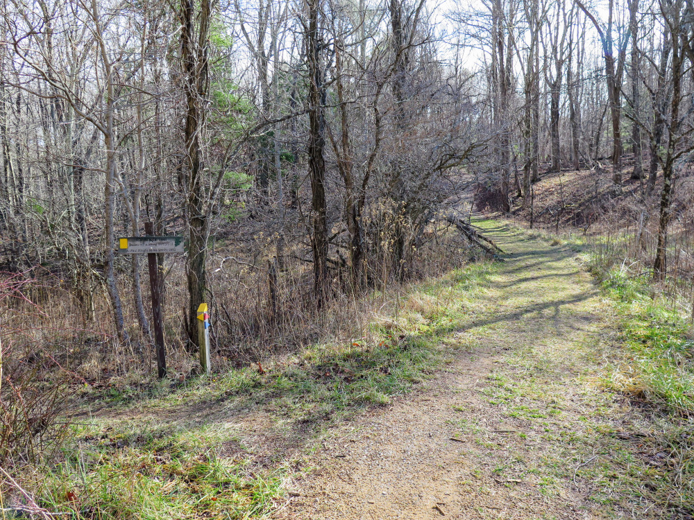
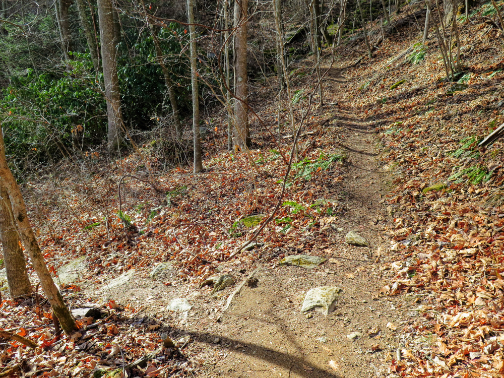
Mile 0.0 – Starting at the parking area pass through the horse gate beside the kiosk following the entrance road to the trail system.
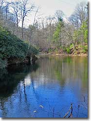
Mile 1.6 – Take the side trail on the left which leads down to a bend in Bottom Creek. Far upstream you can see the bottom drop of a series of waterfalls known as “The Kettles.” If you have time you may want to follow the creek upstream to get a better view of these powerful rapids.
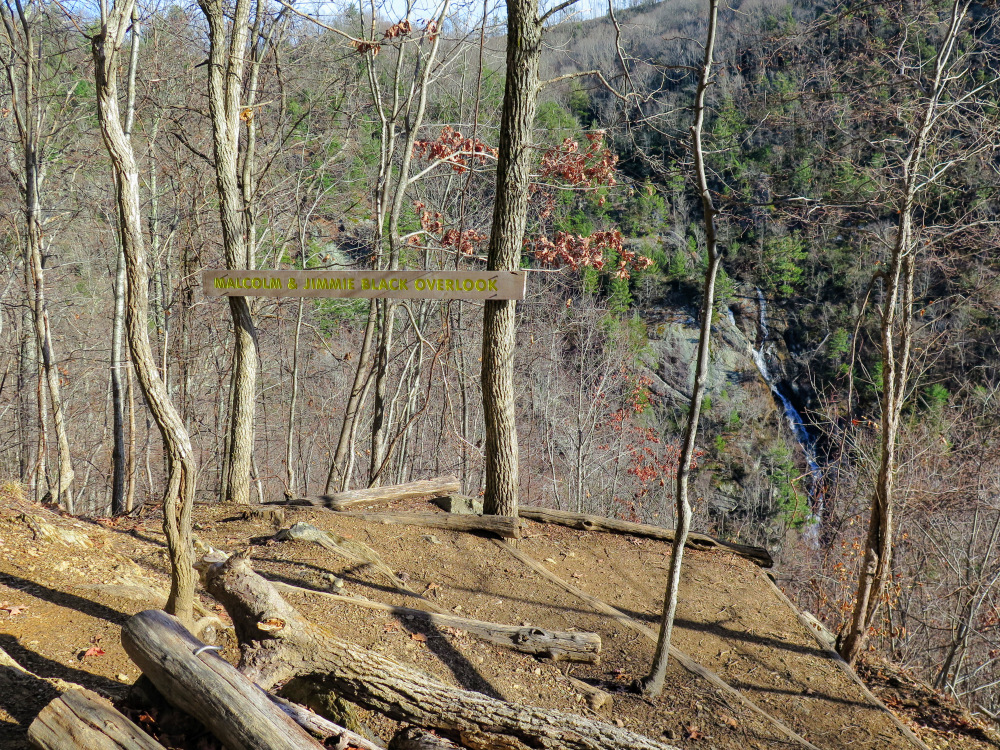
Mile 2.4 – The Johnston Trail ends at the overlook for Bent Mountain Falls. From this perch nearly 400 feet above Bottom Creek you have a bird’s eye view of Bent Mountain Falls. Listed at 200 feet, this waterfall is seemingly much taller. Camp Creek plunges over 360 feet directly into Bottom Creek, making this arguably the tallest waterfall in Virginia.
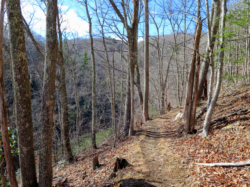
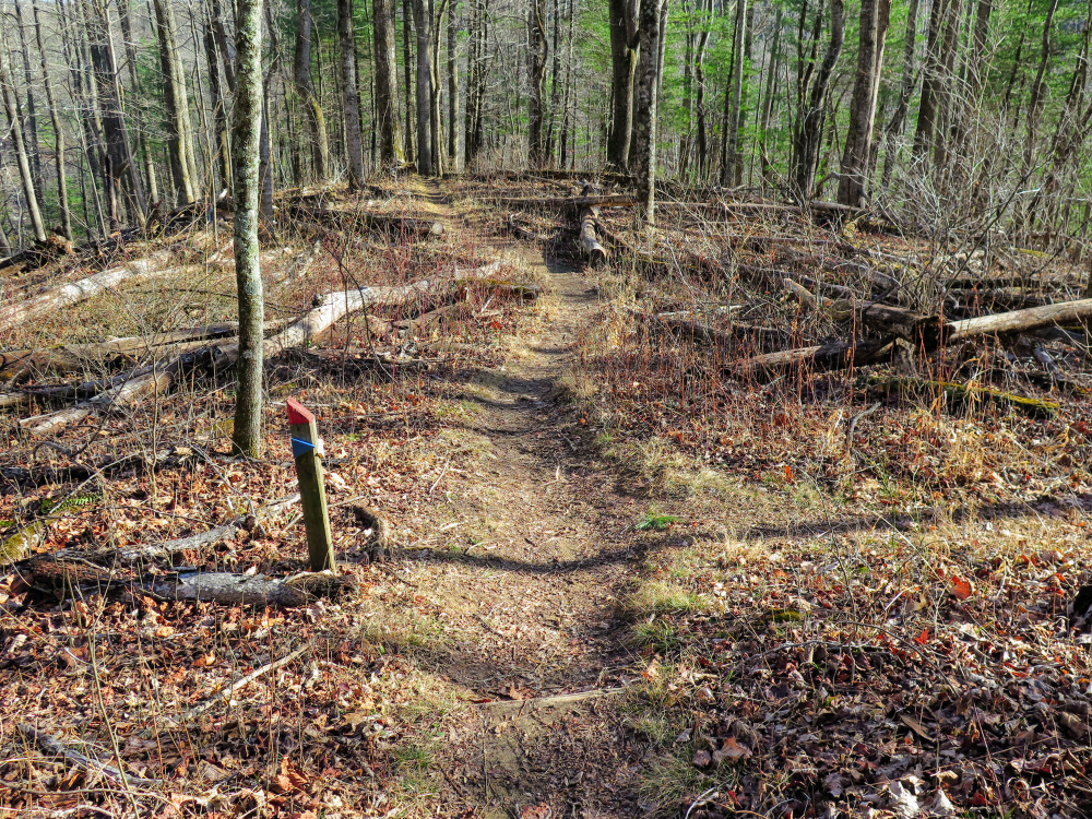
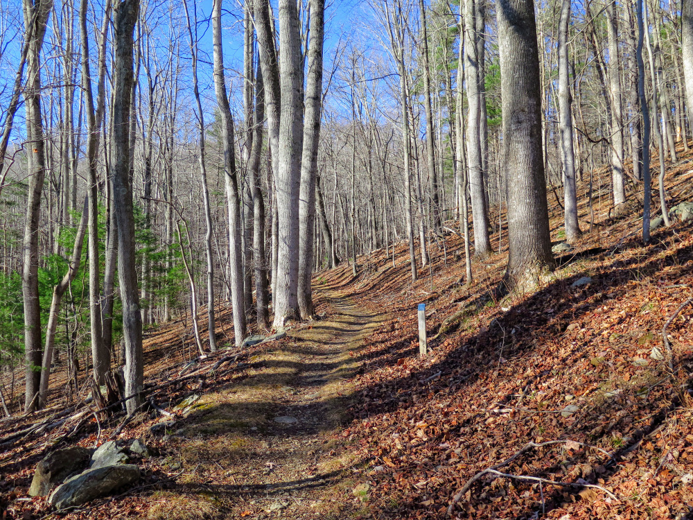
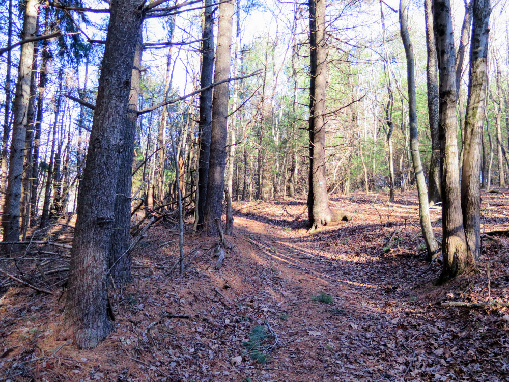
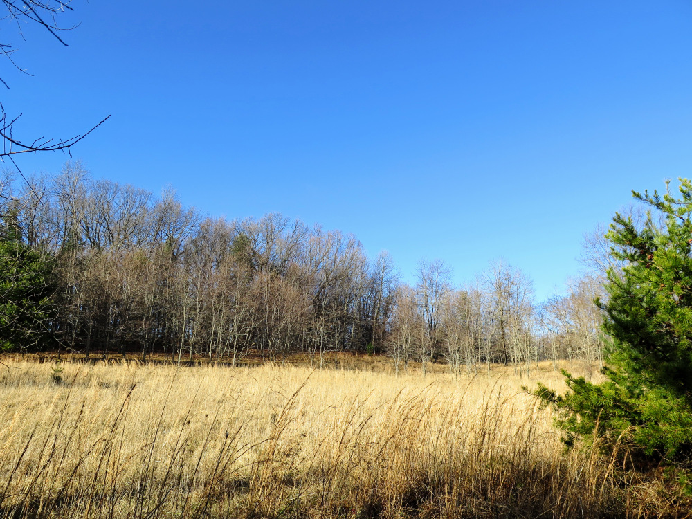
Mile 2.5 – Back at the trail junction turn left on the Duval Trail (blue blaze). Initially the Duval Trail follows the rim of the gorge before turning right to head back towards the entrance. Once you leave the gorge the trail passes through patches of pine forest and cleared fields.
We made a trip here while in Roanoke. Overall the hike is very nice. The trails are well maintained and marked. We took a different route than described however. We hike down the Johnson (red) trail to the falls overlook and hiked back out the Duvall (blue) trail. The Johnson trail has a couple of sections of switchbacks, the Duvall trail was relatively gentle hills on the way back. Small parking area, rutted road getting to the parking but passable.
By:David D.
Rating:
Date of Hike: Sunday, September 23, 2018
Gorgeous and diverse hike. There are some amazing creeks here along with a pond and the breathtaking falls at the end of the red blazed trail. Not too difficult, but there are a couple of parts that are challenging. The blue blazed trail was my favorite portion of the hike. Lots of weaving in and out of forests and meadows. There were a couple of fallen trees and one that was particularly hard to cross, but other than that this is a new favorite for me.
By:The Hiking Club
Rating:
Date of Hike: Saturday, February 11, 2017
My second time here, this time with 2 adults and 3 kids (age 5-10). There are three trails that branch off the entrance trail, marked by color. The red trail is the shortest but most difficult. The yellow trail runs closer to the creek, taking you to the water's edge in one pretty spot. The blue trail is the easiest and has some abandoned houses and graves. Make sure to check out the massive trees that are partially hollow, they were really neat.


