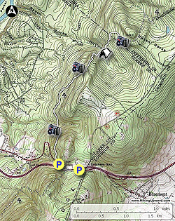
The
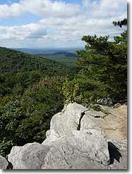
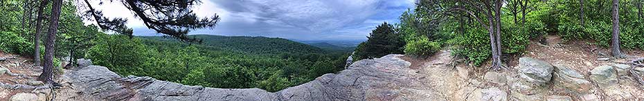
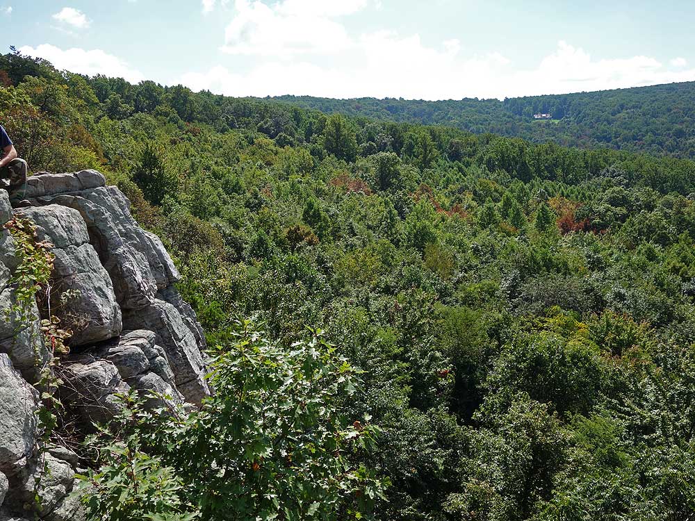
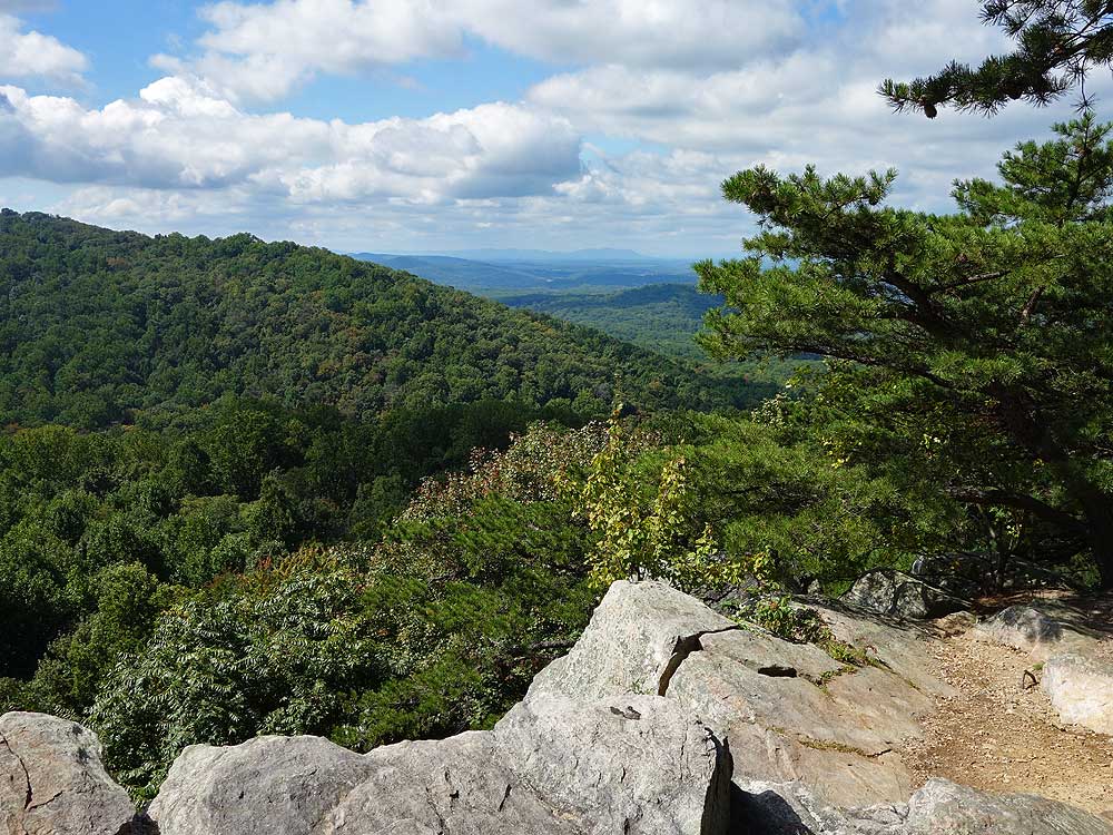
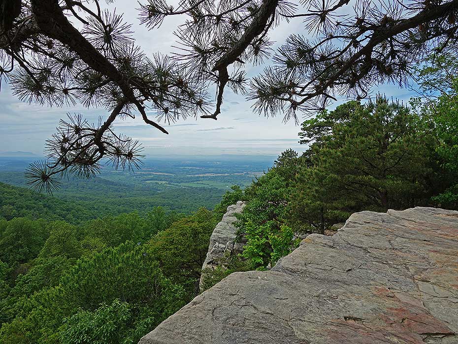
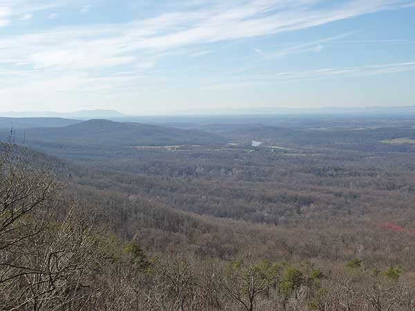
view from Raven Rocks is
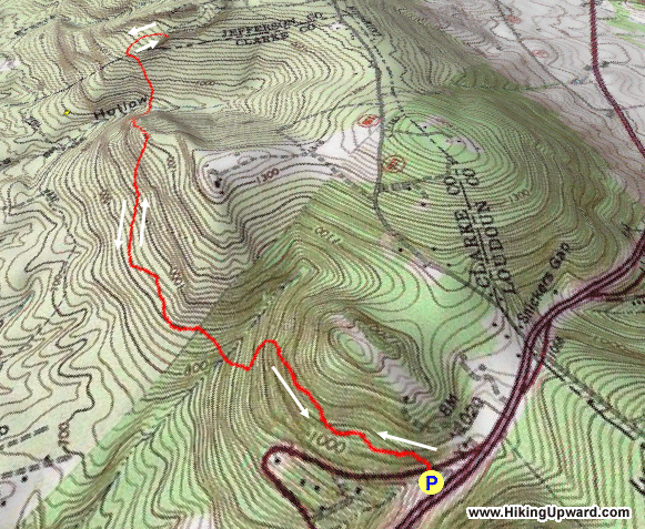
one of the best in the area. At a total distance of 5.8 miles with a vertical gain of 1,530ft there are three strenuous ascents on
this out and back hike, as you can see from the elevation profile. Raven Rocks is also a popular area with rock climbers, as the wall can be accessed by a road 0.4 miles from
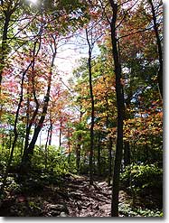
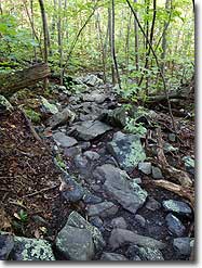
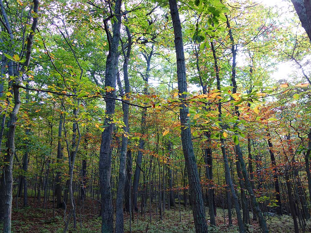
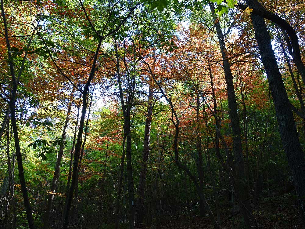
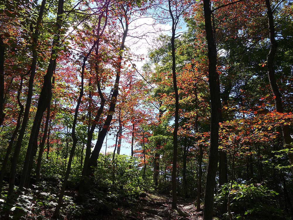
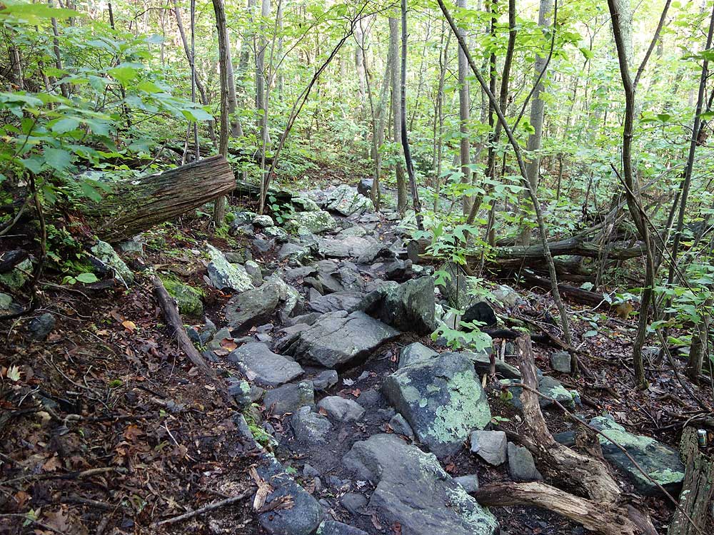
the east. The only consistent complaint from reviewers is that the hike is extremely rocky. Make sure to wear good footwear. A hiking stick or poles are also recommended.
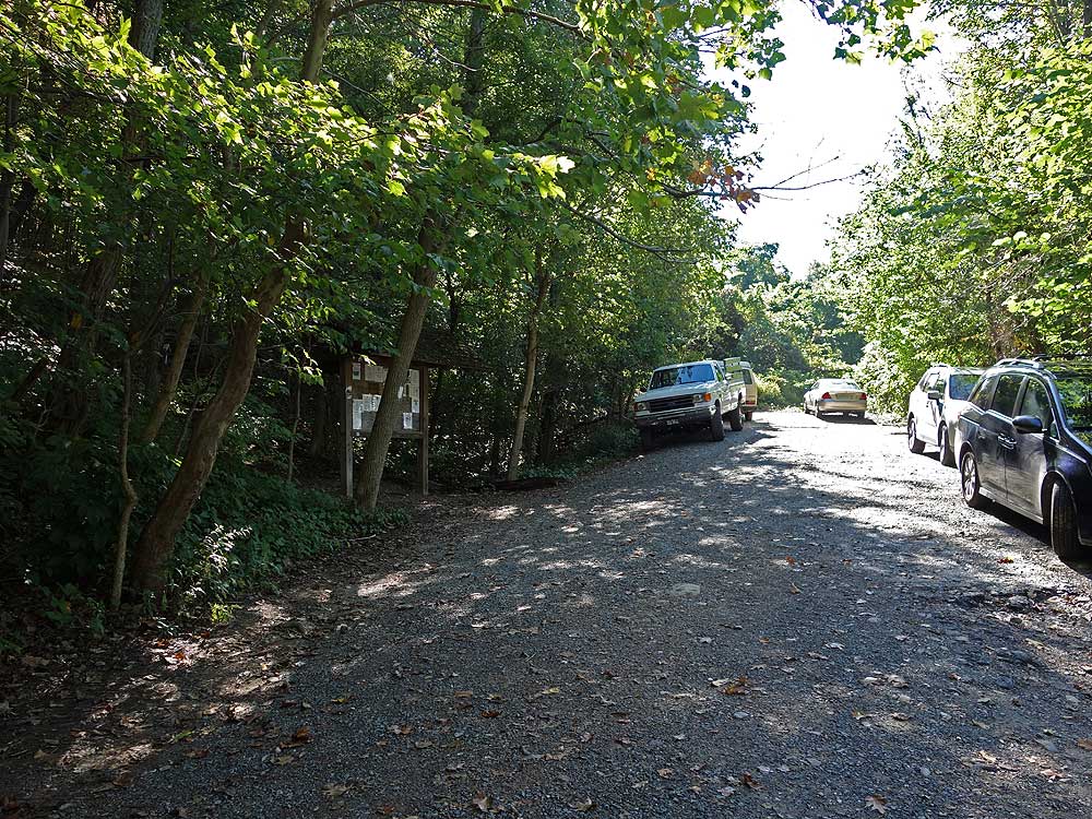
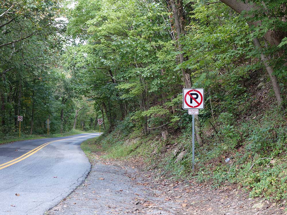
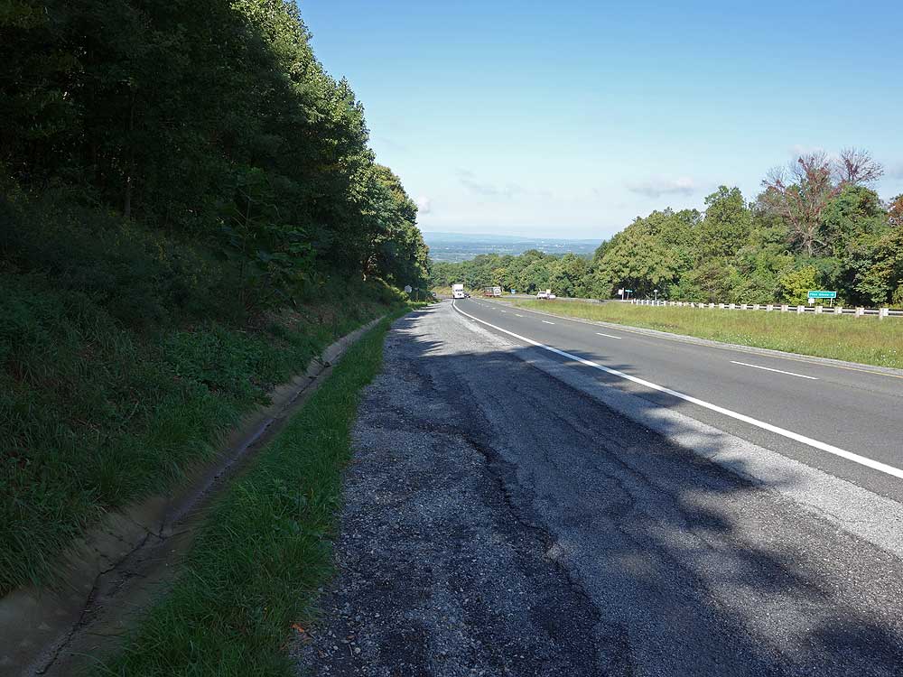
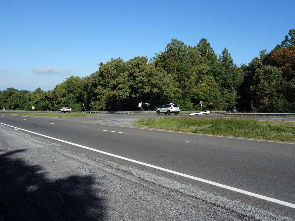
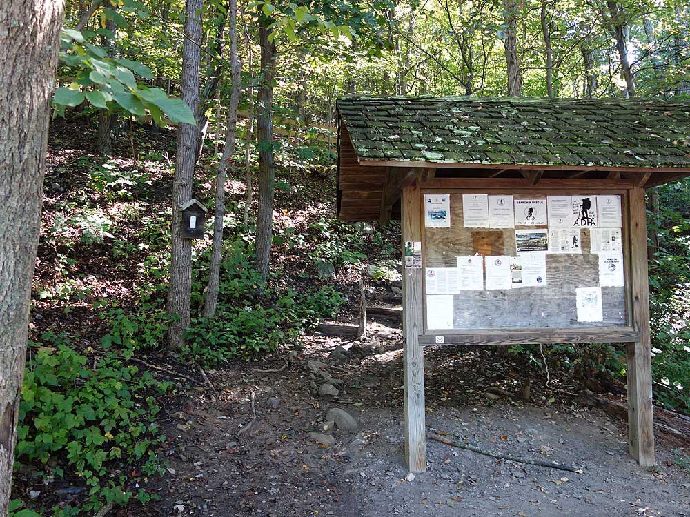
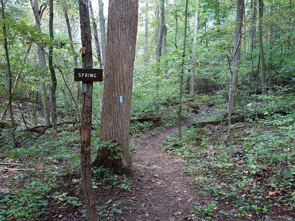
Mile 0.2 - Use Extreme Caution crossing VA 7 as traffic flows at a high rate of speed here. After crossing VA 7 the trailhead parking and A.T. kiosk is 30 yards down the road.
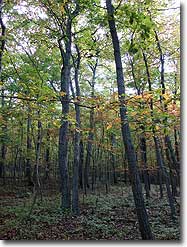
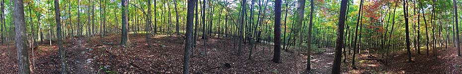
Mile 0.36 - The white blazed A.T. will go uphill behind the kiosk. Cross over the first ridge
then make several steep switchback descents before reaching a small run in 0.8 miles. 100 yards past
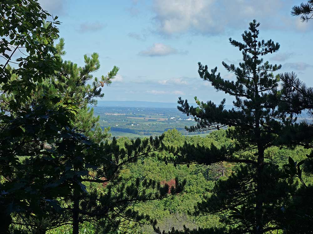
the run cross over an unblazed disused trail. After ascending the next ridge come to a nice view of the
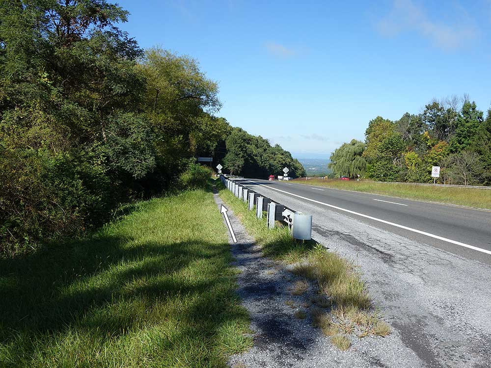
Winchester Valley to the west. This view is obscured when leaves are on the trees. Continue over the rise then descend more steeply to Raven Rocks Hollow Run.
Mile 5.8 - Arrive back at the commuter parking area on VA 7.
Pictures & 360 Panorama
Video
Main Overlook at Raven Rocks
Raven Rocks Hike Comments
Archived Comments
By:Rene
Rating:
Date of Hike: Thursday, November 21, 2019
Beautiful day! I enjoyed the vistas since most of the leaves were down. I didn't mind the three climbs. They were easier than I was expecting (though it was still a strenuous hike). Anyone staying in the campsites should take hammocks. There weren't a lot of flat places without rocks. We heard birds and saw squirrels. We started on the trail at 8:20, finished at 12:20 (including a 30 minute rest at the last peak). The parking directions in other posts were very helpful. The lot was full when we arrived back at the car, on a Thursday.
By:MountainLaurel
Rating:
Date of Hike: Monday, July 8, 2019
This is one of my favorites. Much like a lot of the AT in Virginia, it's a standard hike through the forest with a nice payoff at the end. A friend who accompanied me said it was a bit of a boring hike and not variable enough, but it suits me just fine!
Not a very large overlook, and sometimes crowded on nice weekend days. Unless you come before 8 AM on the weekends, the small parking lot will be full and you will need to park in the lot on the other side of 7, about .2 miles east, where you would turn off to go to Bear's Den Trailhead. On rainy days/ weekdays, you're good to park at the small lot right by the trailhead.
The description says this hike has 3 strenuous ascents, but the only one that I find real challenging is the second uphill, between the 2 creekbed crossings. I've done this hike 5-6 times over the last few months, and I still get a bit fatigued there, especially when carrying a full pack. The way back is infinitely easier with pretty gentle downhills and some jaunty little switchbacks.
For the person who said they saw snakes--I've never seen one in all the times I've been on this trail. Some birds, deer, etc...but no snakes. But lots of rocks. The only thing your ankles are really in danger of here is a sprain, so wear your good hiking boots.
I've done this one several times and continue to enjoy it, even in the pouring rain.
By:Alyson
Rating:
Date of Hike: Sunday, June 23, 2019
Parking - I like specific info on parking, so trailhead parking is at the corner of Rt. 7 and Pine Grove Road. The commuter lot is across Rt. 7 and east a bit (a 2 minute walk), at the corner of Rt. 7 and Blue Ridge Mountain Road. The hike immediately puts you into the forest and the traffic sounds from Rt. 7 quickly fade. However this is a heavily traveled trail and groups of hikers tended to be noisy. The hike is extremely rocky, not small pebbles but large rocks that you have to step upon carefully. Some areas are very steep but usually not for long. The trail is well marked with white blazes and is easy to follow. A lot of people brought their dogs but all of the dogs I saw really seemed to be working hard on this trail. All were panting hard and the ground really looks rough and jagged for paws. I would really think twice about bringing a dog on a hike for this reason. The weather was in the low to mid 80s with low humidity. This was a challenging half day hike that I would do again.
By:P6
Rating:
Date of Hike: Monday, February 18, 2019
We've had Raven Rock on our radar for awhile but after reading reviews about the abundance of snakes, knew we needed to wait until winter. We headed out today, with all 4 kids in tow. I carried the 8mo on my back and my husband had the 3 year old in a pack on his back for most of the hike. My 6 and 4.5 year olds, however, hiked the entire thing! ((I should clarify that we've been hiking with them since our oldest was 4mo and they're pretty killer hikers, havi ng tackled Big schloss twice, countless shorter hikes, Glen Ochno Falls. Etc)). This hike was far from the most technical one we've ever tackled but it was challenging. Its 6mi of straight ascends and descends. There's almost never flat. Lots of switch backs and almost all rocks (though they aren't loose, which is nice). For the effort, the views are just OK. The shorter, much easier hike of Weverton Gap and Big schloss are much more "worth it". There were several spots where fallen trees littered the trail and you had to navigate around them, but not once was the trail lost. Great signage with blazes. the summit however is not marked and the AT continues on past it so it's easy to keep going (esp since the views arent spectacular). Overall it was a decent hike. It took us 4.5 hours with 2 small kids on foot, 25mph winds and slick rocks from last nights rain.
By:Cooper
Rating:
Date of Hike: Sunday, December 30, 2018
Overall a fun hike. You're walking on a mix of rocks and soil most of the time. A few areas of clear trails, quite a bit of rock gardens. I wouldn't recommend for kids under 10 unless they're used to that type of activity. My 9yo did pretty well but was a bit done with it a little after half way. If you have kids and can get a parking spot at the kiosk, it's better off. Rt 7 isn't fun to cross with kids and animals during busy traffic.
We all hiked this in tennis shoes ignoring the suggestion of hiking boots. After crossing the stream and spending most of the hike watching footing over the rock gardens, I'd definitely recommend hiking boots with some ankle support.
I'd rate the trail itself 5 stars because it was really cool. My overall review of the whole hike, I'm only going with 3 stars. It was non stop traffic. We had people in front of us, behind and coming at us at all times. It was impossible to stop to take a picture, or even to look out over the little rock overlooks we came across on the way. A bit of rude people, along with a group smoking pot as they were walking in front of us not caring that there was a kid behind them. With the cold weather, I was hoping we'd have a little bit of calamity, but that was not the case. We had about 8 dogs we came across who were off leash. Only 1 group offered to leash their dog when it came charging at us, no one else even attempted to acknowledge their dog or apologize. This was the first time I've been out on a trail and experienced such ignorant people.
By:Mike P
Rating:
Date of Hike: Friday, December 14, 2018
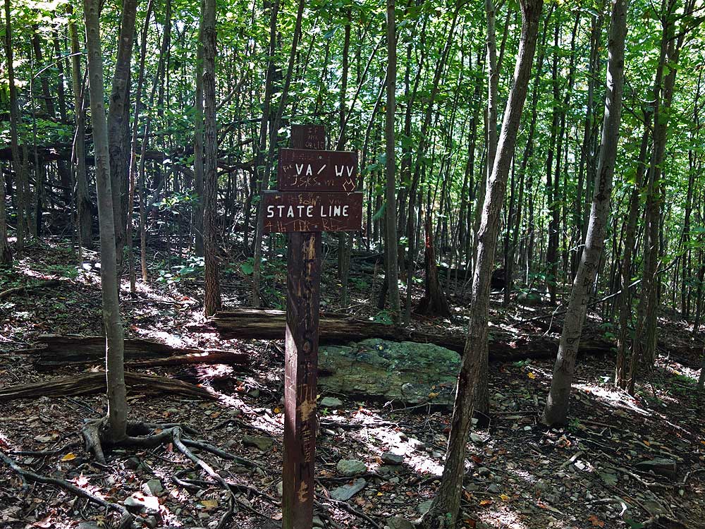
This is a great hike, the northern bit of the Roller Coaster. By the way, the view from Raven Rocks is to the EAST and south, not west and south. It's not the Shenandoah Valley, but the Loudoun Valley.
From HU: If you continue north past the Raven Rocks area on the A.T. there is a view to the S.E. The view from Raven Rocks itself is to the S.W. and Shenandoah Valley.
By:Katie
Rating:
Date of Hike: Sunday, November 4, 2018
Great hike! Beautiful viewpoint at the top, and up-and-down hike through rocky woods to get there. Takes about 1-1.5 hours one-way going at a good pace. Plan on taking a lot longer with children because of the rocky terrain and occasional steep inclines. Perfect hike to bring your dog! Have to be in fairly good shape just to complete the hike, and even then it's a good workout. Highly recommend!
By:Sam
Rating:
Date of Hike: Saturday, November 3, 2018
General Review: This trail is rocky and has several ups and downs making this trail not ideal for little kids. I came across couple groups that had kids around age of 6 and under that had to turn back without making the overlook. It is highly trafficked so if you want solitude, this is not the trail for you. Overlook is great, especially good for sunsets. Both AT&T and Verizon had full service throughout the hike, so you can use mobile apps to track your progress/location if your worried. The trail is very well marked while white blaze.
For overnight backpackers: The main reason for my review is to add more information for backpackers. There is a campsite opposite the overlook off of the AT, space for about 4 tents with a stone fire ring. Tent spots are not flat and will have some rocks/roots that is not easily clearable, so sleeping pad is necessary. Ideal for watching sunset/stargazing. When I went, there was 20mph winds, so I continued on about 1/4 mile and found another site on the left of the trail that was better protected. This site could also host about 4 tents, but was slightly more spread out. Neither site is ideal for mixed groups unless you wanted to socialize. For water, if you are planning on sleeping at the overlook site, use the first spring before reaching the overlook. If your planning on camping at the second site, there is another spring about 1/4 mile passed the site. Both sites are right off of the AT, but the trees on the second site are more sparse, so you will be in the line of sight to hikers on the AT. Plenty of wood to for fires on either site so you will not have to venture far. There are probably smaller, better hidden sites along the trail since I could faintly hear dogs off of the AT between these sites, but these are the most established sites that I came across.
By:VA_hiker_923
Rating:
Date of Hike: Sunday, October 14, 2018
The views were ok. Solitude was a 0. Definitely wear hiking boots or shoes with good tread. Very minimal parking at the trailhead/kiosk.
By:Tyler
Rating:
Date of Hike: Saturday, August 25, 2018
The view from the top is indeed very nice! The trail getting there though I felt was kinda boring, just an uninteresting forest with little undergrowth. No flowers or wildlife.
Trail was busy on a beautiful August Saturday. Took us (decently fit guys) 90 minutes to get to the Raven Rocks while hiking at a moderate pace.


