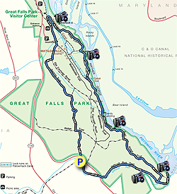
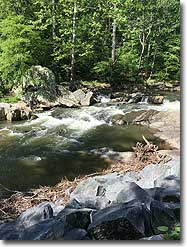
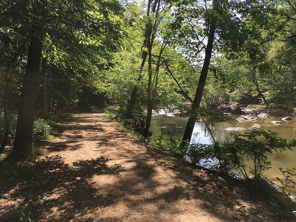
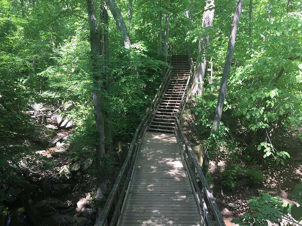
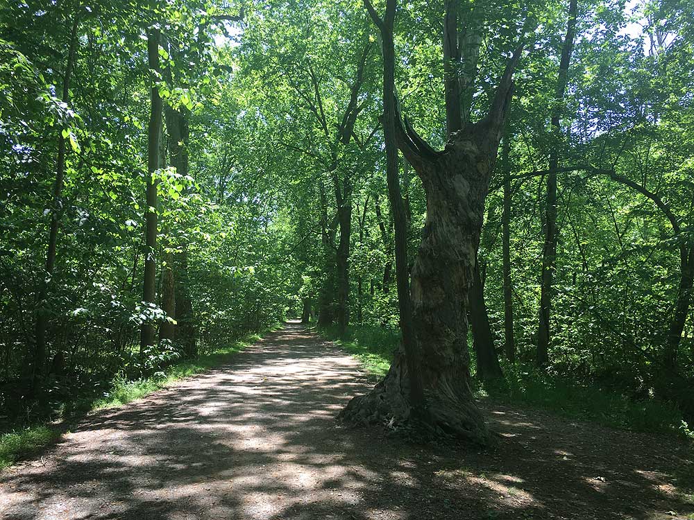
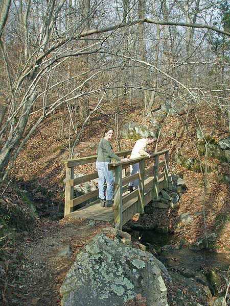
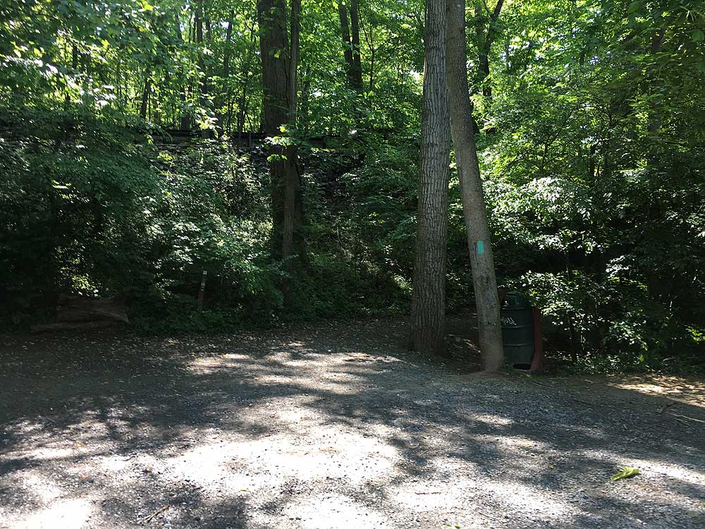
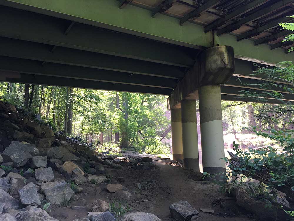
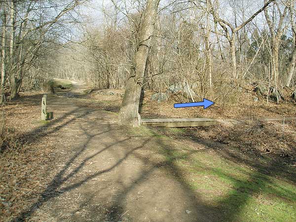
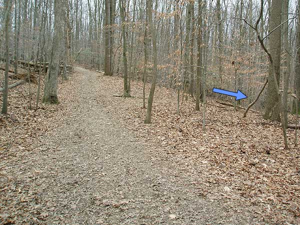
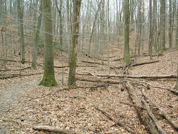
The trail is hard to spot in places because of blow downs, just follow the blue blazes. The trail passes over a small footbridge and a paved road, then continues just to the right on the other side.
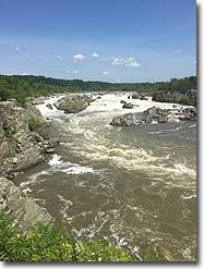
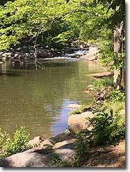
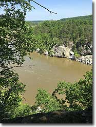
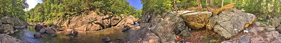
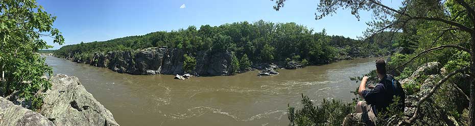
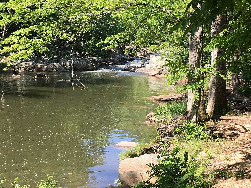
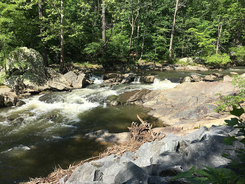
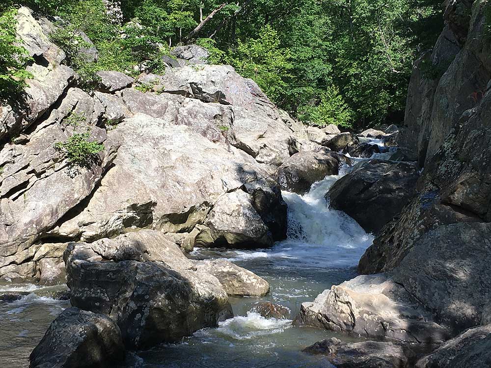
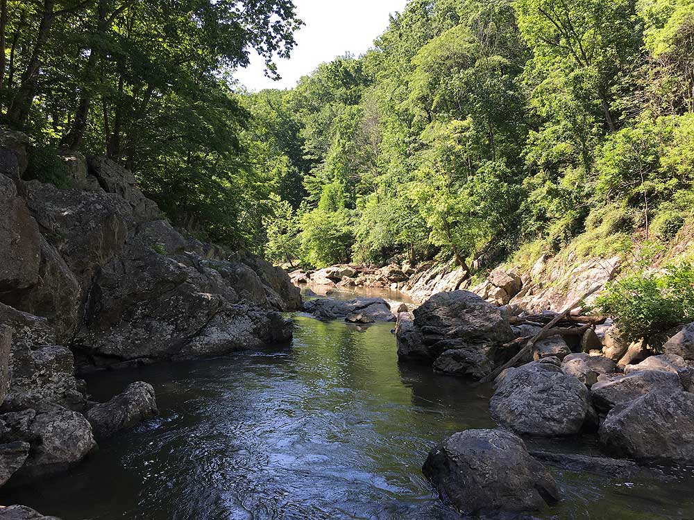
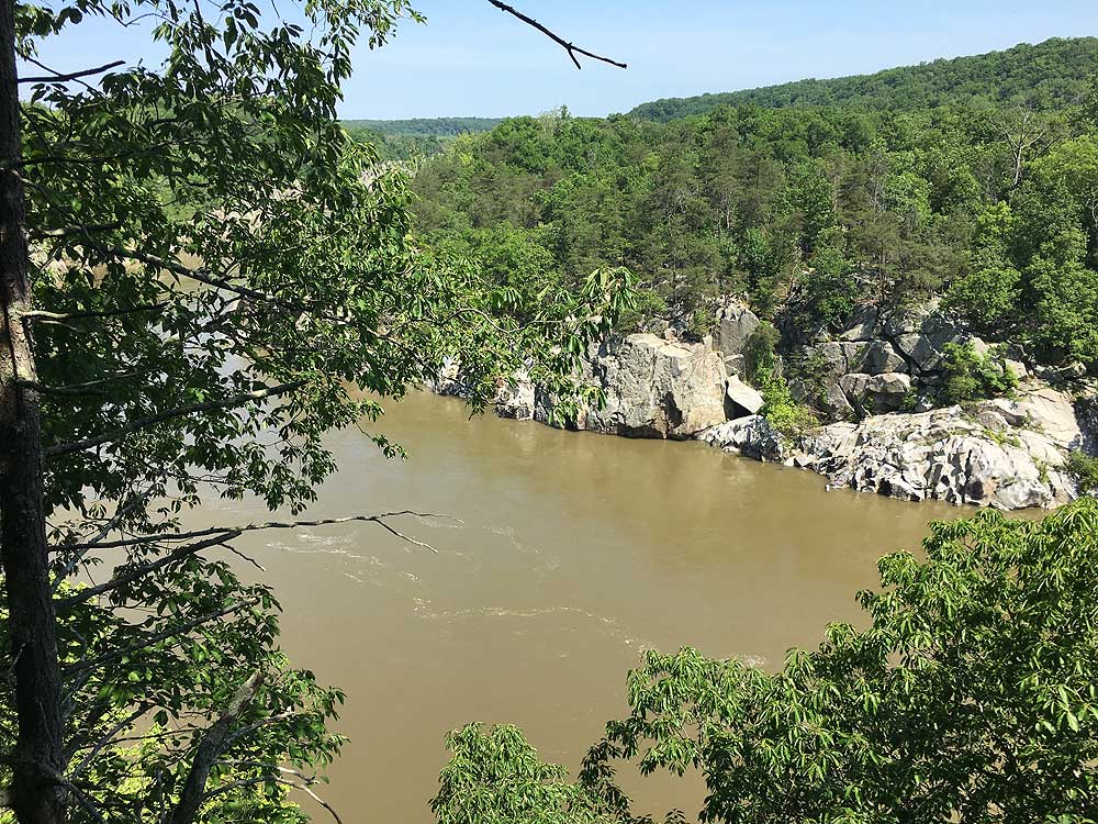
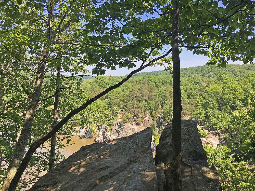
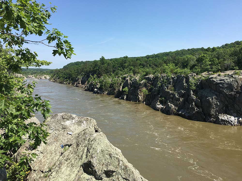
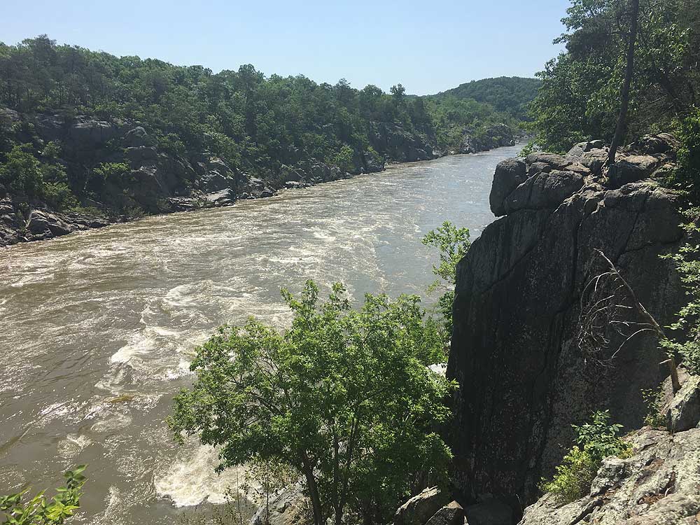
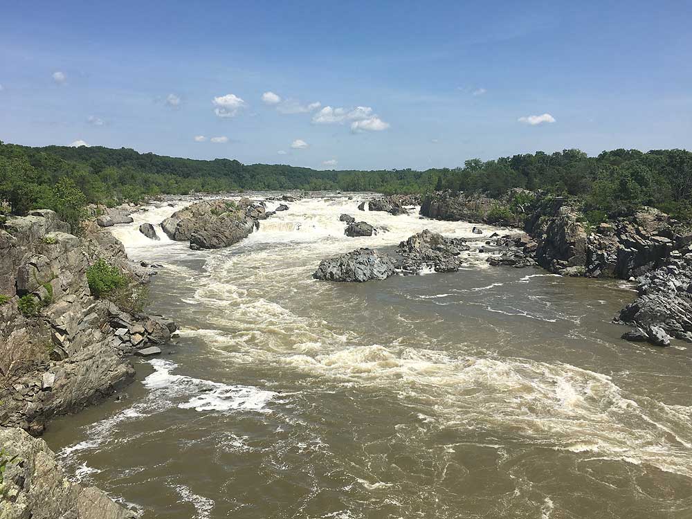
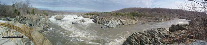
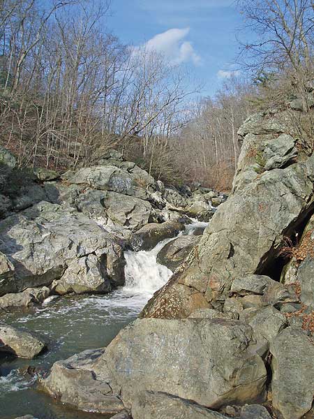
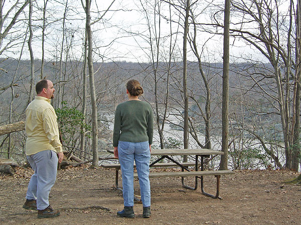
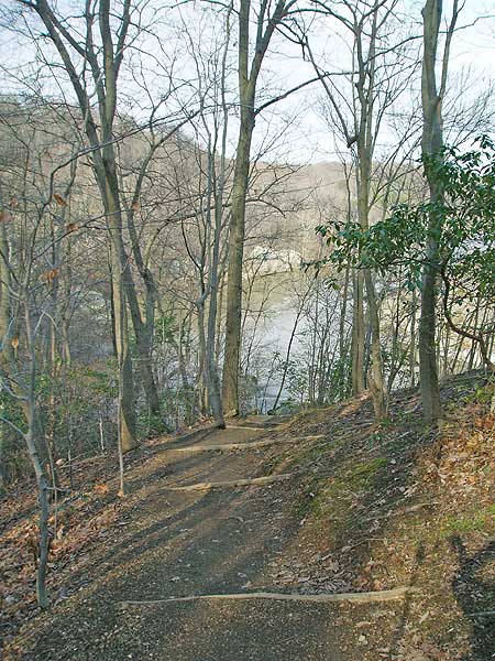
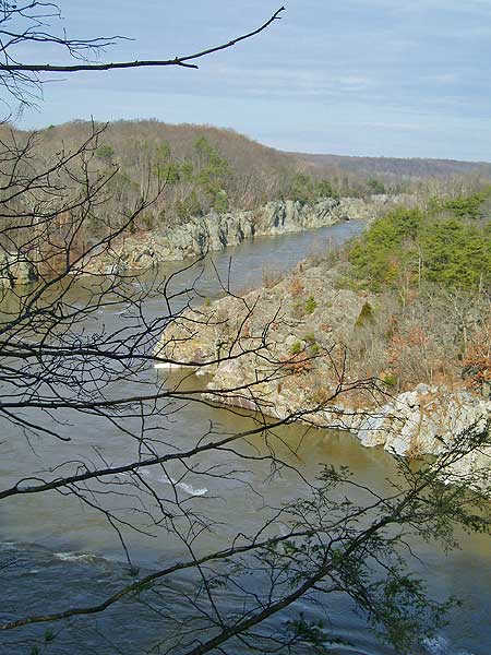
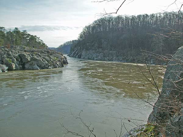
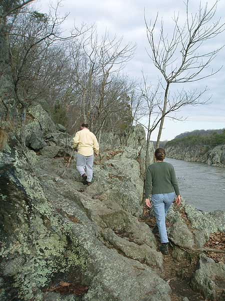
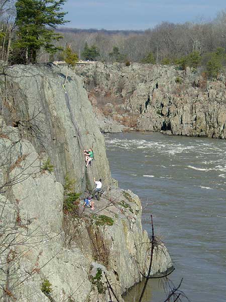
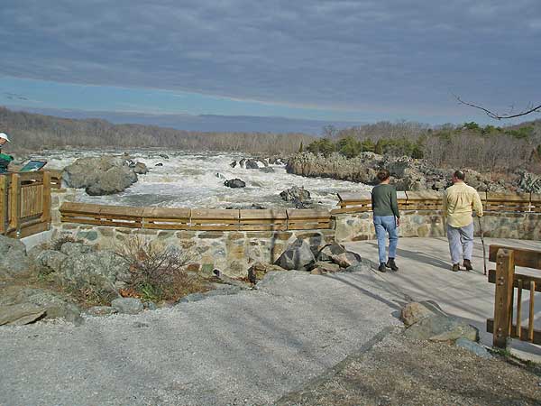
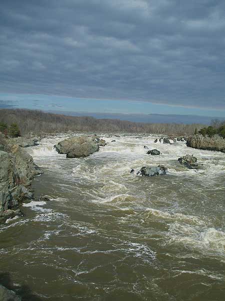
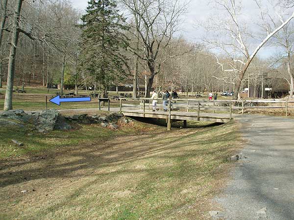
Continue on the blue blazed trail as it follows the river before arriving at Patowmack Canal ruins. In 50 yards, turn right over the footbridge then left following the green blazed River Trail. The trail will descend over a large footbridge before arriving at the main picnic area of Great Falls Park. Stay right and pass the two main scenic overlooks at Great Falls Park.
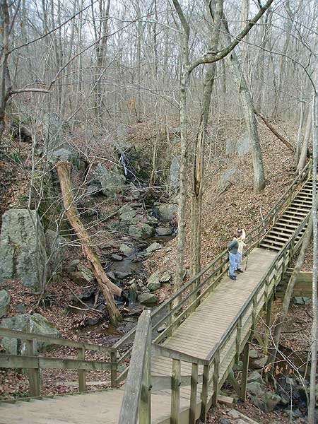
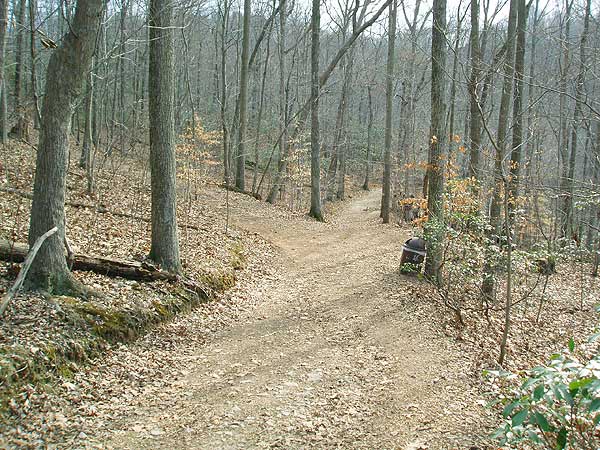
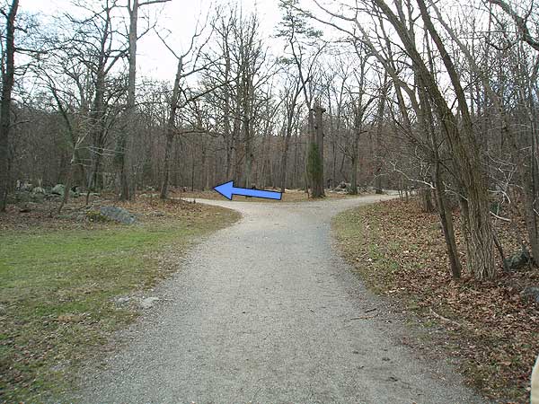
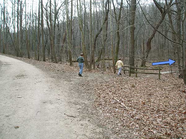
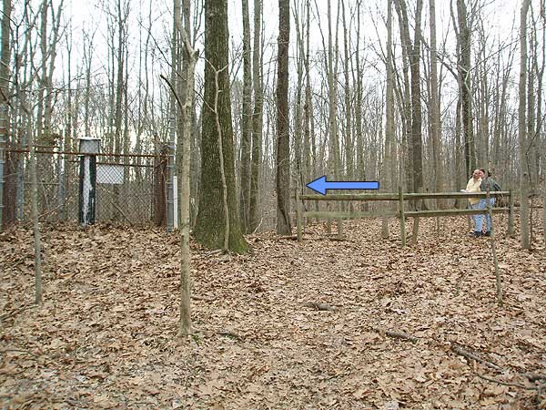
In 0.5 miles, turn right on the Swamp Trail. Follow the Swamp Trail for 0.4 miles where it ends at the next trail junction. Turn right climbing over the hill and in 0.3 miles the trail ends at the junction of the Ridge Trail.
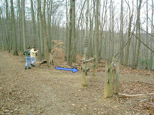
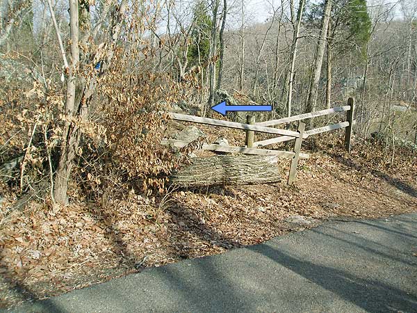
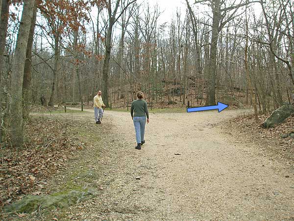
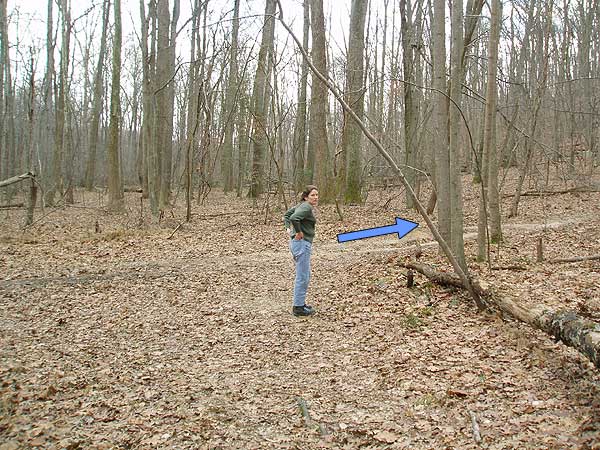
Turn left, and in 60 yards, at the bottom of the depression, a small trail marked only by a single split rail post turns right downhill. Turn right on the trail as it heads down the ravine for the remaining 0.2 miles back to Georgetown Pike and the parking area.
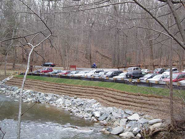
Use Extreme Caution crossing Georgetown Pike back to the parking area.
Mid May
Mid January
Difficult Run Hike Comments
Archived Comments
By:Cate
Rating:
Date of Hike: Monday, January 21, 2019
The Difficult Run Trail (at least where it meets the parking lot for this hike) is closed for repair. I wasn't sure what or where the issue was so I just reversed the directions for the above hike, crossed Georgetown Pike and started on the unmarked, but easy to spot trail that starts right across the street from the parking lot (Google Maps has it labeled as Wolfpack Trail). I went left where Wolfpack Trail dumps out onto Ridge Trail, right onto Swamp Trail, and left onto Old Carriage Road which took me to the overlooks. This shortens the hike to about 3 miles round trip, but the overlooks are amazing and totally worth it. Saw a few people, but was alone most of the time, probably thanks to the weather (16 degrees when I started out at 10:30am!!)
While not blazed, the trails are easy to follow in most places. There are several parts where the trail is iced over so watch your step!
By:cmg
Rating:
Date of Hike: Saturday, June 3, 2017
We started at 9am at the Georgetown Pike parking lot. There's actually 3 trails that meet there, take the farthest east trail entrance that has a small sign post (not the trail with the large cross county map and not the trail across Georgetown Pike. Get to the parking lot early it was almost full at 9am on Saturday when we started.
This hike took us about 5 hours but we stopped for lunch at the picnic area near the bathrooms and checked out most of the overlooks and small paths by the river. Everything is well signed but the blaze is now green instead of blue.
Definitely take the Swamp Trail since we saw maybe two people on that trail and it was quite beautiful. I'll try this hike again in Fall/Winter to see the views without the leaves- perhaps in the reverse.
By:Suzanne
Rating:
Date of Hike: Friday, May 26, 2017
Hiked this trail today (Friday) after work. Start about 6:30 or so, and was practically the only one one the trail, until I got to the main part of the park. I was expecting crowds after reading the previous reviews, but that just didn't materialize. The hike is beautiful, with tremendous water views along most of the hike. The River Trail is green blazed,not blue. And it is indeed hard to pick up after the steep descent. Just keep walking towards the park, and you will eventually cross the paved road and know that you are on track.
Once I got to the park, and passed the second overlook, I had a little bit of trouble finding Carriage Road. The bathrooms and parking lot referred to in the right up are not the bathrooms and parking lot by the Visitor's Center. Once I realized that, I was back on track.
All in all a great hike. Got back to my car at about 8. Would have taken more time but was walking fast so as to not run out of daylight.
By:NT
Rating:
Date of Hike: Tuesday, May 9, 2017
News flash: there are millions of people who live in the DC area, and many of them (us), enjoy a nice hike, especially on the weekends. Giving this hike a low rating because it is in a heavily populated area seems unfair at best you knew where it was when you ventured out, no?
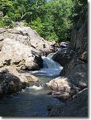
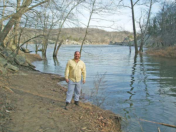
In fact, since I live in DC, the location of this hike is a 5-star aspect of it! (See, it's all about your perspective.) The vistas and water views are spectacular, especially when the Potomac is rushing as it has been. All this and only a few miles outside of the beltway? I'll take it.
I like this hike so much I did it twice in the last few days. Once with friends on Sunday - yep, it was crowded, but only around the main overlooks and visitor center. The rest of the time was what you'd expect for a beautiful 65-degree Sunday on any popular hike within an hour or two drive from DC, and we had our choice of spectacular and solitary lunch spots overlooking the Potomac. I did the hike again Tuesday, and didn't see a single person on the Swamp Trail, and saw fewer than a dozen people - and two giant horses - on the River Trail - on another cloudless 65-degree day.
Some tips: If you want to follow the route on the map linked to above, start your hike at the opposite end of the parking lot from the entrance to the lot. There is a sign/map right at the entrance to the parking lot that practically begs you to start out on the trail that leads directly from there, but this trail is not park of this hike. You know you're on the right path (literally) if the water is on your right as you start the hike.
I actually prefer to reverse this loop, doing the Swamp Trail first and then heading to the River Trail, because I like to torture myself with that big uphill part. To do it this way, start the hike by starting on the Swamp Trail by crossing the road where you turned into the parking lot.
Whichever way you do this hike, be VERY careful crossing the road (and also when entering/exiting the lot in your car), because where you do so is flanked by a sharp turn in one direction and a blind hill on the other. We witnessed a couple very close calls this weekend.
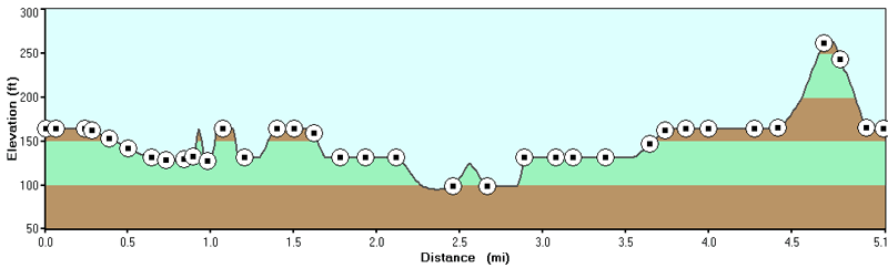
Last thing: My Garmin put this hike at 4.71 miles, with a couple little extra jaunts thrown in, so the 5.1 miles listed for this hike, while close enough, is slightly high, FWIW.
By:Long Beard
Rating:
Date of Hike: Sunday, June 19, 2016
My son ,wife and I hiked this trail for fathers day. If you enjoy obnoxious drivers on the crowded roads of northern va and a 45 minute line leading into the park and crowds of sweaty smelly people this hike is for you. I did enjoy the views of the river, always wanted to see it. Other than the nice river views it was a nice easy walk in the woods, nothing spectacular. Now that I have seen it I will mark this one off my list as well as anything else in the vicinity of northern Va.
By:Jimmy
Rating:
Date of Hike: Wednesday, November 11, 2015
First time hiking Difficult Run. I've been to Great Falls on the VA and MD side before but never done this trail. Overall it was a very pleasant hike. I'd recommend it if you don't have a lot of time and really need to get out there for a quick one. The only negative would be the crowds around the main falls area, but other than that it is very nice.
By:Matt
Rating:
Date of Hike: Sunday, January 25, 2015
Needed a quick afternoon hike. This is one of my favorite quick hikes. Trail was clear of snow and ice and in good repair.
By:Dawn
Rating:
Date of Hike: Saturday, January 17, 2015
The washed out part of the trail has been completely fixed and it is an easy passage from Old Georgetown Road/Difficult Run to the Ridge trail. The park service and VDOT did a fabulous job with the path.
By:Rick R.
Rating:
Date of Hike: Sunday, November 2, 2014
Returned to this wonderful, close-in, loop hike with several novices early Sunday morning. Arrived at Rt 197 parking lot 9:30am and got one of a few spots left there were more hikers there than I expected for a Sunday, but was not terrible. We went further along Difficult Run leg and slightly north along Potomac River then my previous visits, granting us more great views! Within easily 10 minutes we were at the top of Ridge Trail providing another whole perspective of the river. There were climbers and kayakers to really impress the 11 yr old (new Scout) and plenty of outcroppings just off the trail for great views, snack and lunch spots little ones must be sure-footed for some or Mom may get nervous. We encountered people on every leg, even holding us up to allow them passage, but this is some of the best Great Falls as to offer, so this must be expected. The overlooks are certainly a major highlight and for first timers, not to be missed (well get crowded on beautiful days and after major storms).
Hiking upwards map was very helpful in providing plenty of detail for our older scout to not get lost,... at least when he consulted the map :-). The new NPS trail signs, together with the map, make this a full-proof, all-around wonderful afternoon from which you will return to car right on time!
Hike rates 5-stars, if not for amount of other people along single-track paths.
By:Brian Snyder
Rating:
Date of Hike: Sunday, October 19, 2014
I took two nephews on this hike (ages 8 and 13) and we had a great time. We did not run in to many people on the Difficult Run stretch of this hike, but the River Trail portion was crowded. It was a great day out, a nice cool fall day. There were a few kayakers attracting some looks around the falls/picnic area. You can take any combination of the River, Ridge, Carriage trails to keep this area fresh and different every time you go. There were more people on the Swamp trail (heading opposite our group) than I have seen in the past, however I dont think many people use the 0.2 stretch from the Ridge Trail back thru the woods to the Difficult Run parking area. This is a nice short cut back if you start at Difficult Run so that you can explore more of the trails around the river. (side note, I previously asked a Park Ranger about the Swamp trail back to D.R. parking area and she did not know about this path-so great job Hiking Upward in giving awesome directions---the single split rail post is easy to miss but dead on for directions!)


