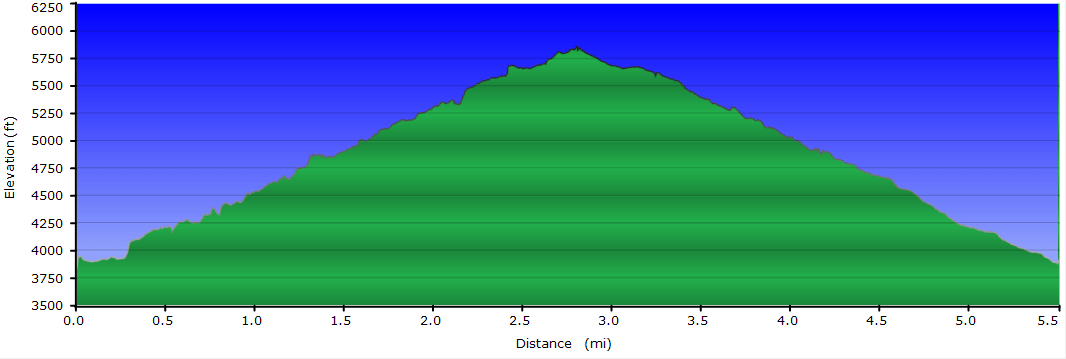
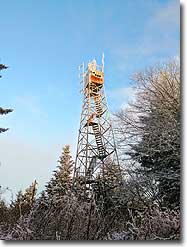
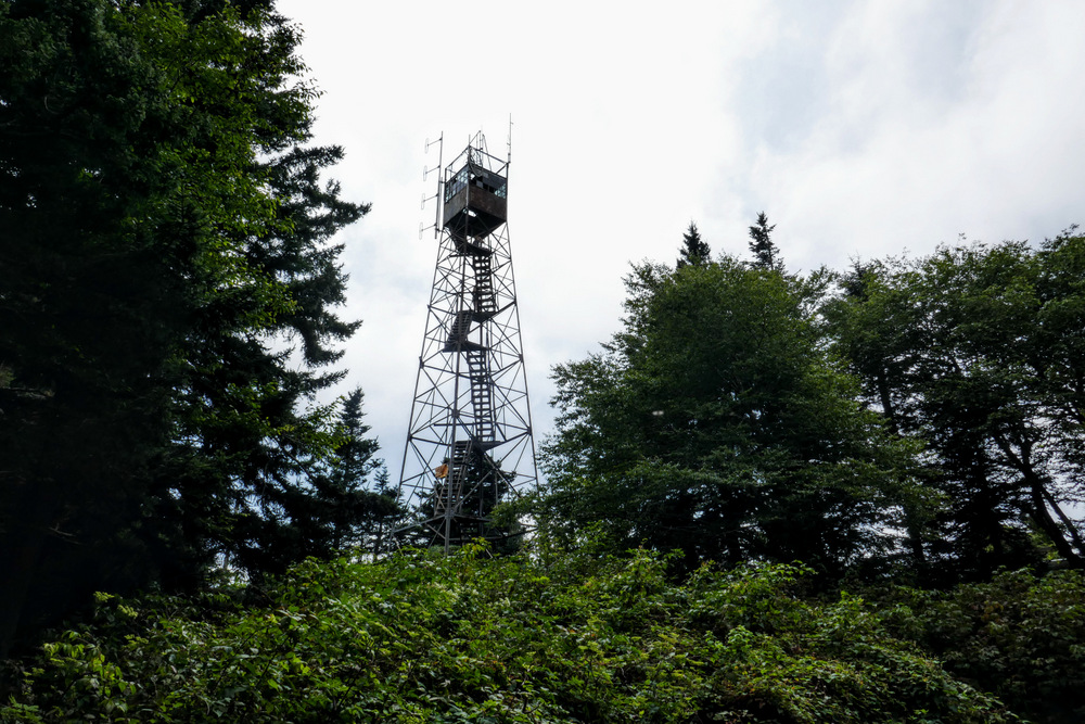
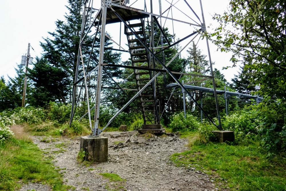
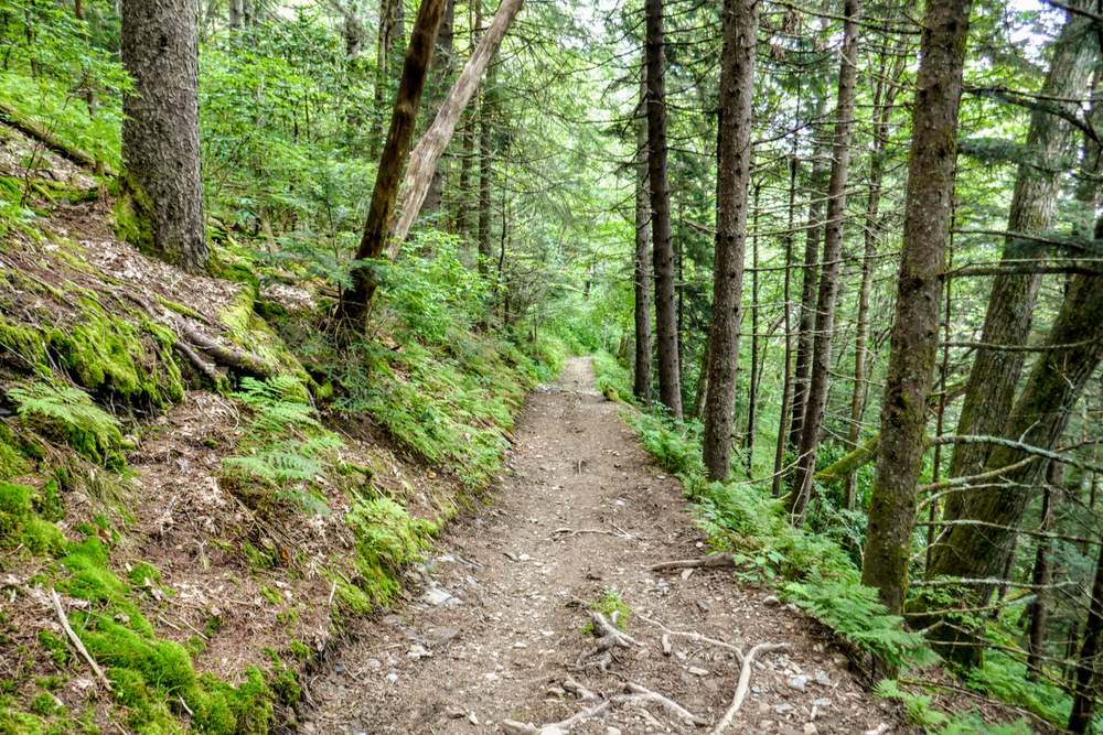
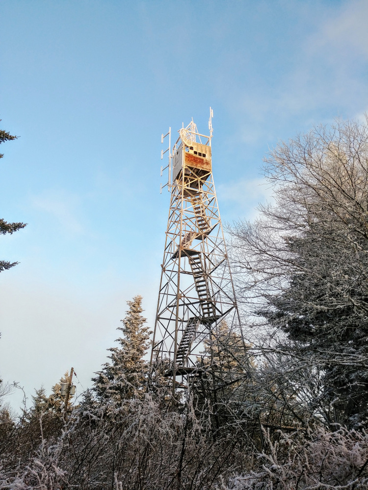
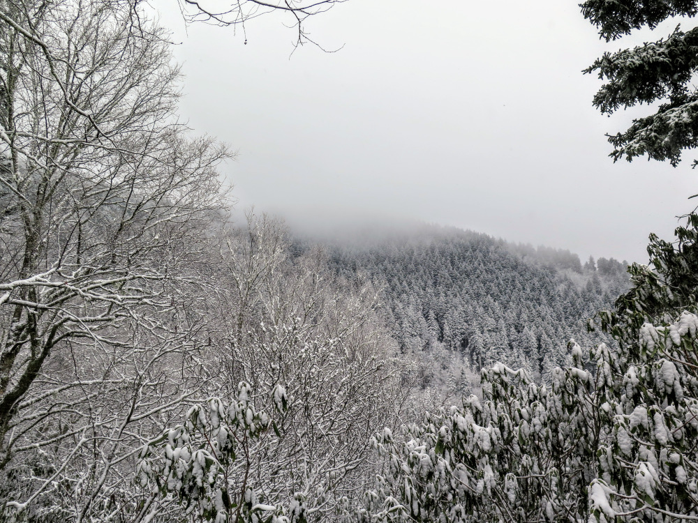
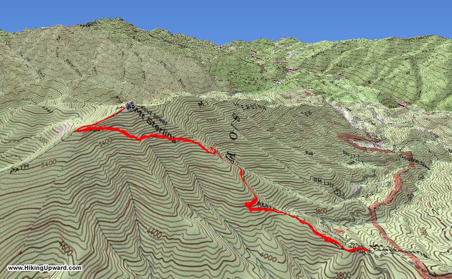
Mount Sterling is home to the highest elevation true fire tower remaining in the eastern United States. In the lonely northeast corner of Great Smoky Mountains National Park, the tower receives less traffic than other towers in the park and is typically included in longer backpacking trips from Big Creek or Cataloochee Valley. There are three ways to reach the tower, this hike is the shortest beginning at Mount Sterling Gap. Even though a round-trip of 5.5 miles is relatively short, you will gain nearly 2,000 feet during the 2.7-mile climb from the trailhead. The forests abruptly change on your trek from mountain laurel and hardwoods to Fraser fir and red spruce when you approach the high-elevation Mount Sterling Ridge. The 60-foot steel Aermotor tower stands at the summit of Mount Sterling (5,842 feet) and is open to the public. Views from the stairs include Mount Guyot, Mount Cammerer, Max Patch, the Newfound Mountains, the Plott Balsam Mountains, Cataloochee Divide, and Big Cataloochee Mountain. For a long trip, consider camping at backcountry campsite #38 beside the summit. This area of the park features many long, connecting trails and is perfect for multi-day trips.
Mile Summary and Highlights
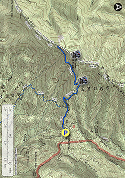
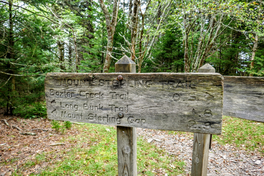
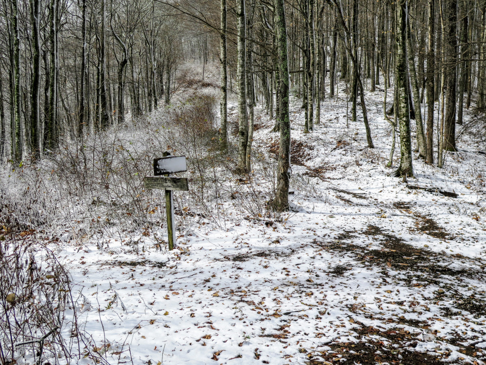
0.0 - Follow Mount Sterling Trail from Mount Sterling Gap 0.5 - T-junction with Long Bunk Trail 2.4 - Y-junction with Mount Sterling Ridge Trail 2.8 - Mount Sterling summit (5,842 feet) and 60-foot lookout tower
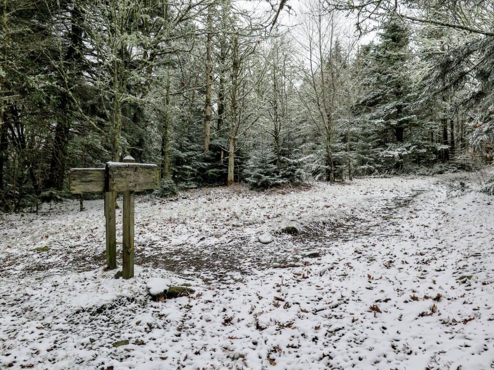
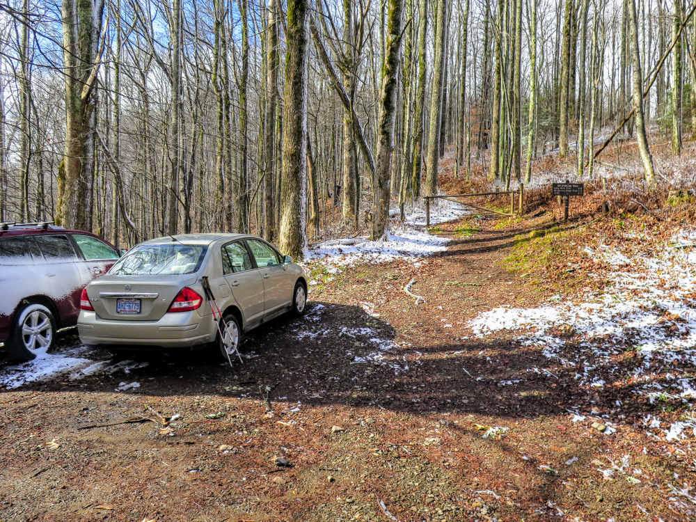
Mile 0.0 – At Mount Sterling Gap, park at pullouts on either side of Mount Sterling Rd. The Mount Sterling Trail begins on the west side of the gap. Mount Sterling Rd was a historically important connector between the remote valleys of the Great Smokies. Formerly known as the Cataloochee Turnpike, the road was completed in 1860 and was a route used by Union and Confederate soldiers during the Civil War to move between North Carolina and Tennessee.
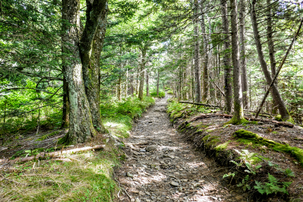
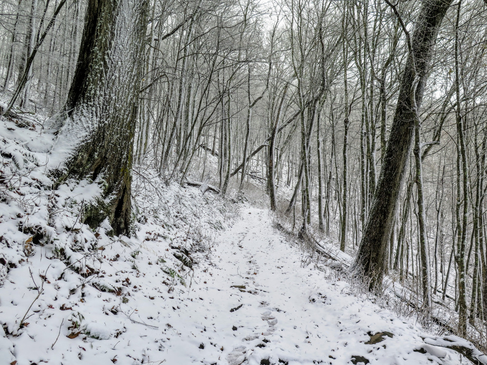
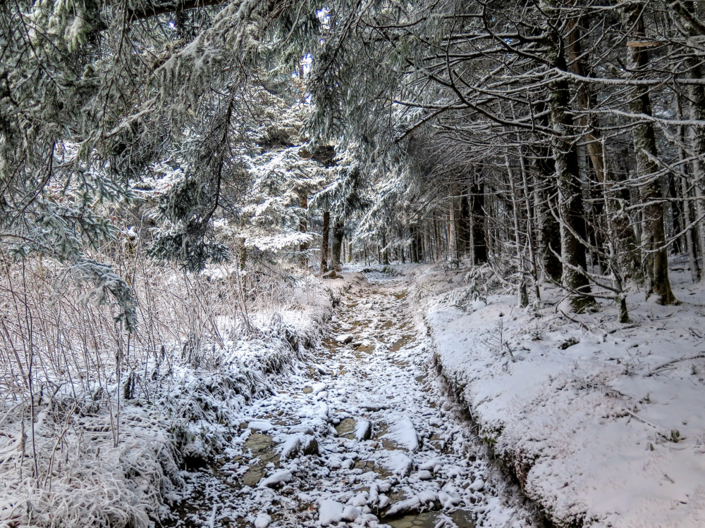
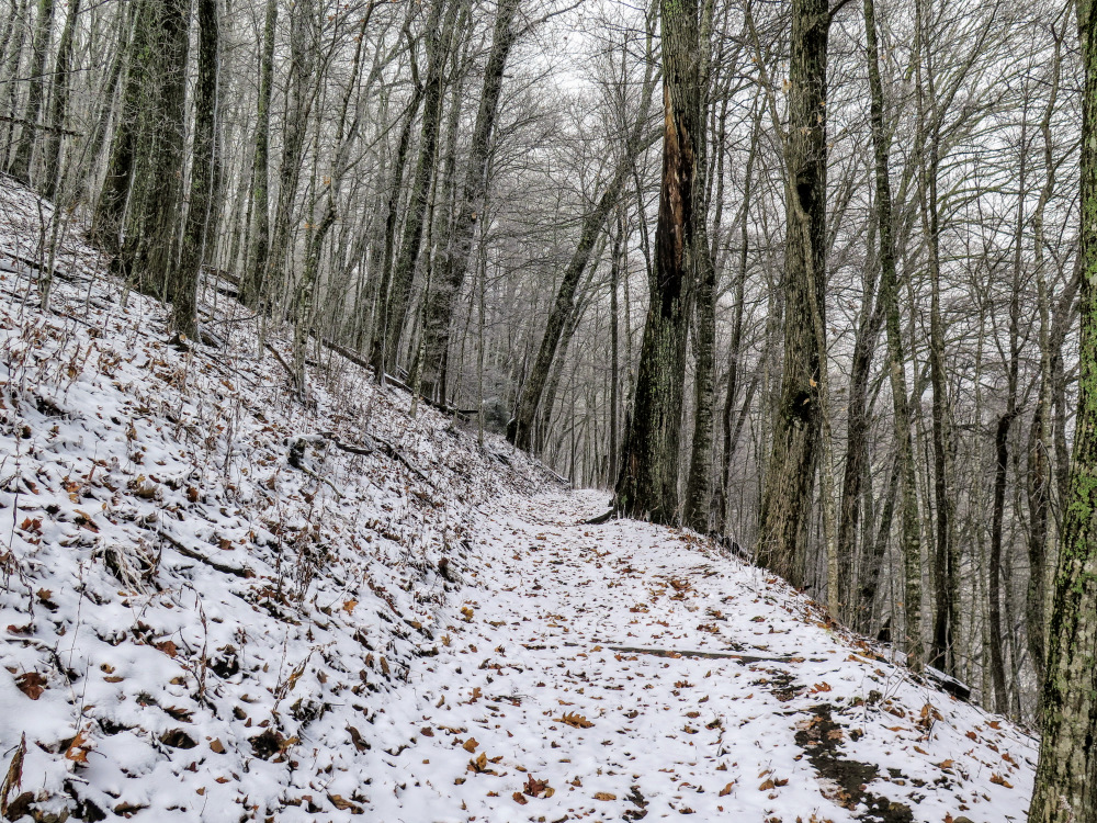
The Mount Sterling Trail is still maintained as a service road by the national park for tower and transmission maintenance. Although it climbs 1,800 feet in 2.4 miles, the trail is not as difficult as the elevation change per mile indicates.
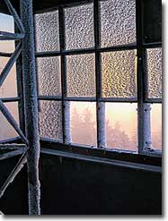
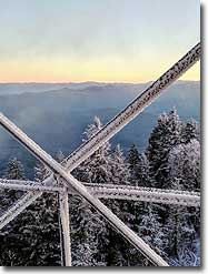
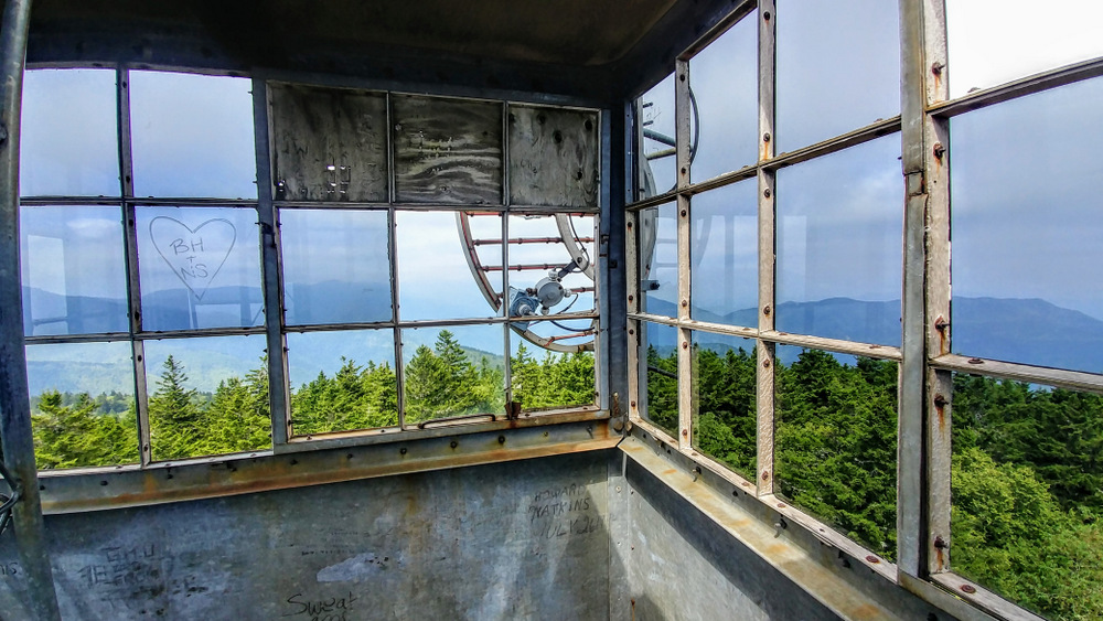
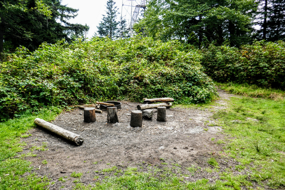
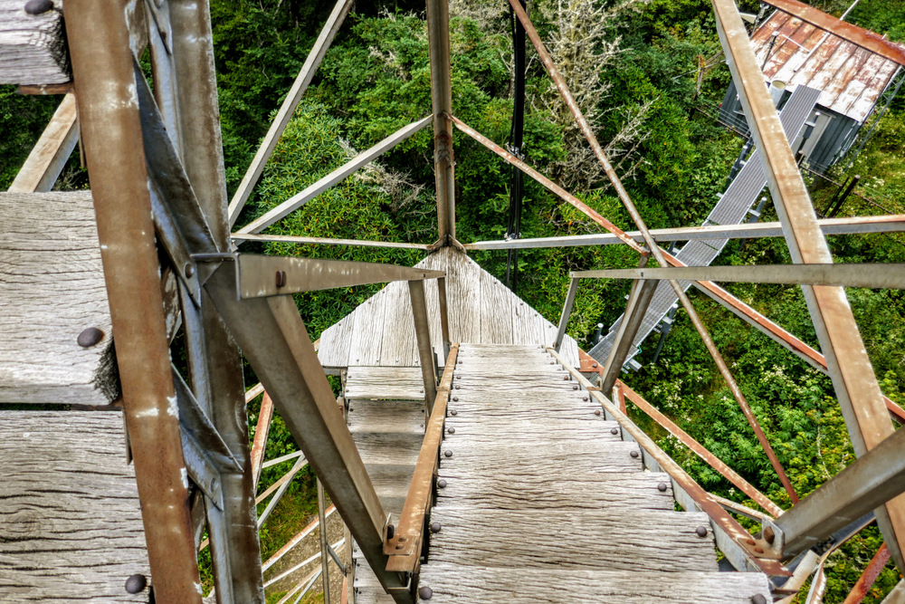
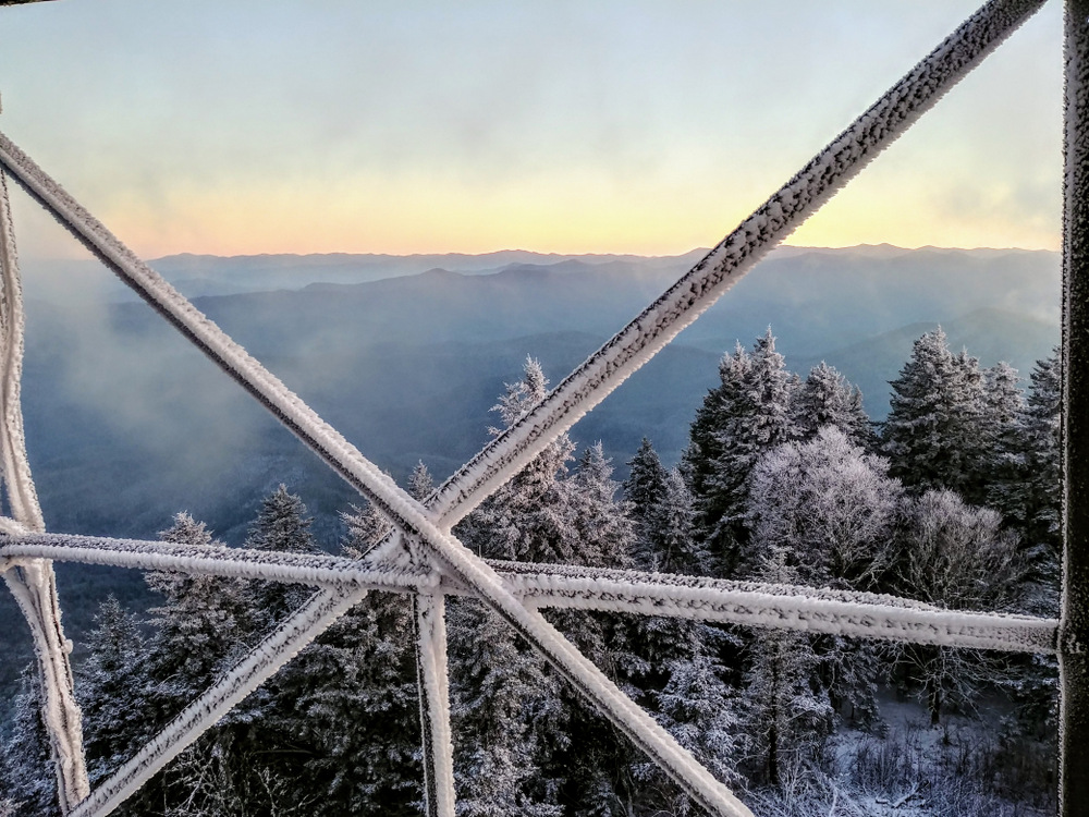
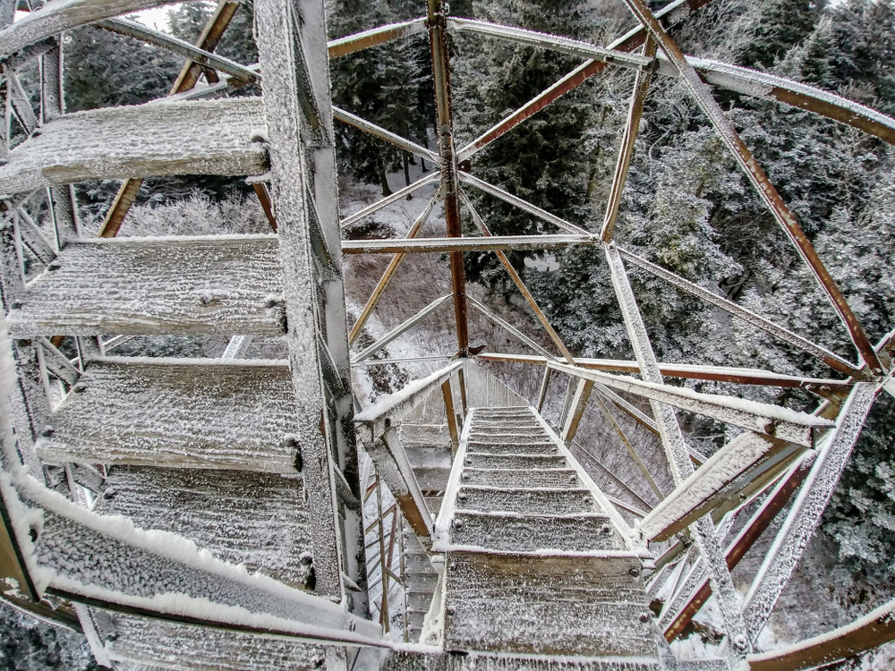
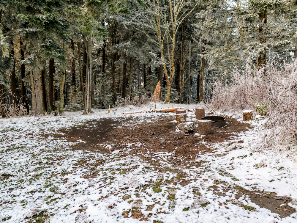
Mile 2.8 – The trail passes hitching posts for horses then turns right towards the Mount Sterling lookout tower in a clearing. On the left side of the trail is backcountry campsite #38. The trail passes beside the lookout tower and continues as the Baxter Creek Trail and Benton MacKaye Trail down the mountain towards the Big Creek Campground. The 60-foot steel Aermotor lookout tower stands at the summit of Mount Sterling (5,842 feet) in a small clearing. The tower, originally built in 1935, is still actively used as a radio communications tower by the National Park Service. Until recently, a powerline provided electricity to the tower from the east side. In 2017, a solar microgrid was installed beside the tower to be self-sufficient and allow removal of the powerlines from the mountainside.
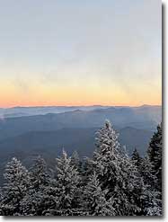
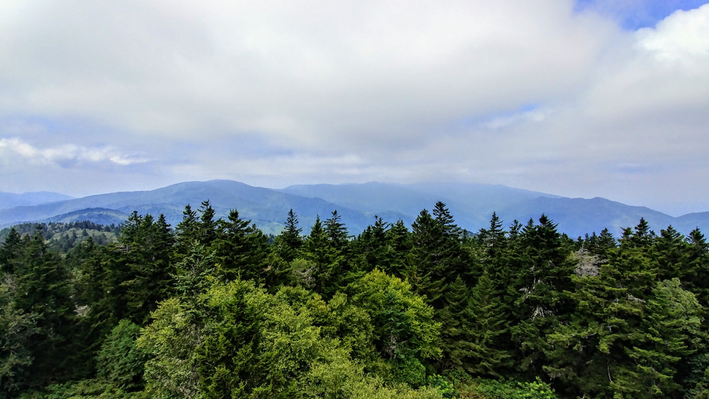
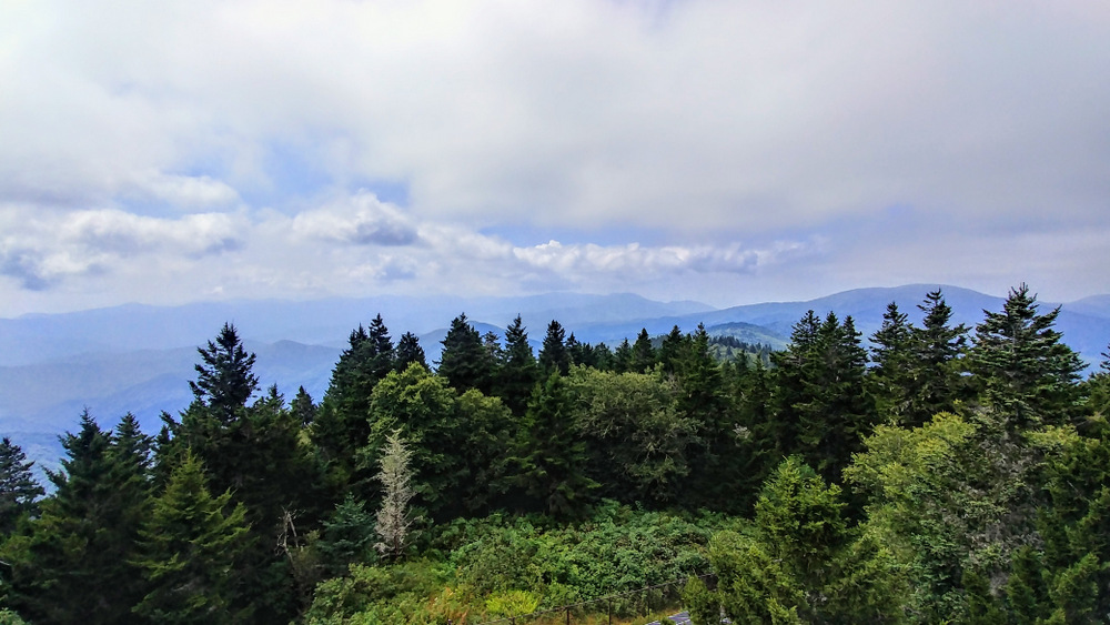
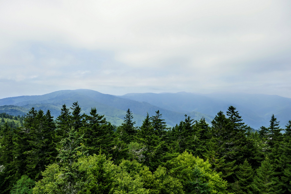
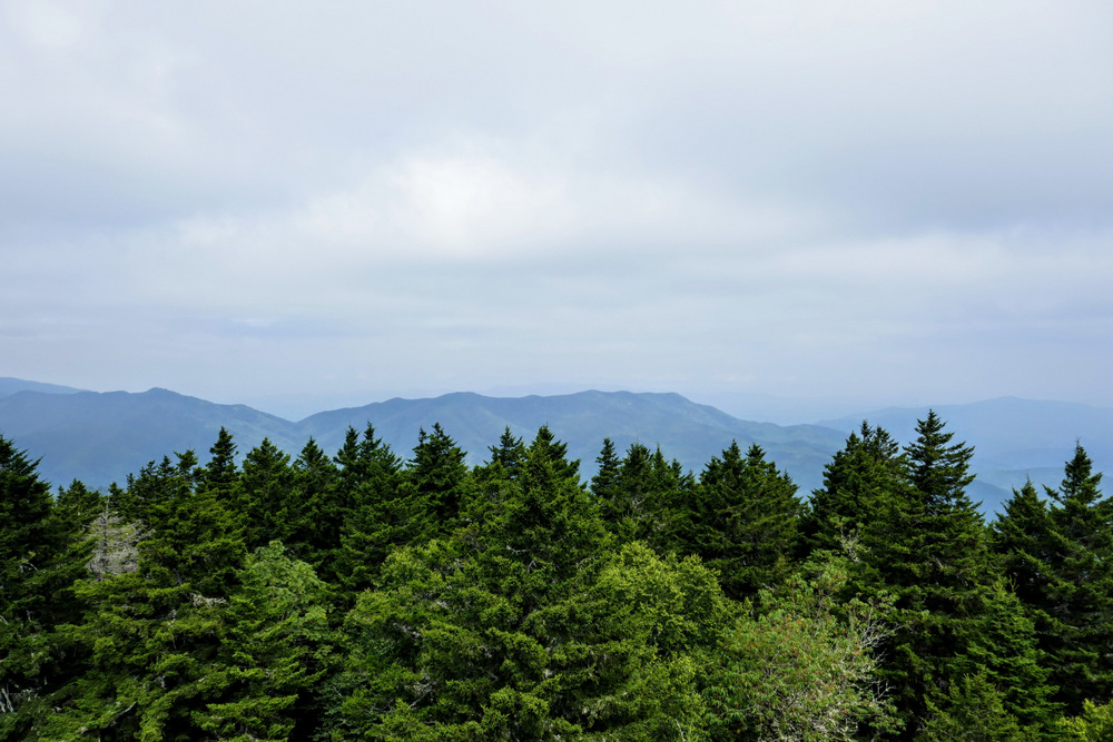
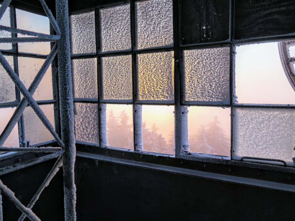
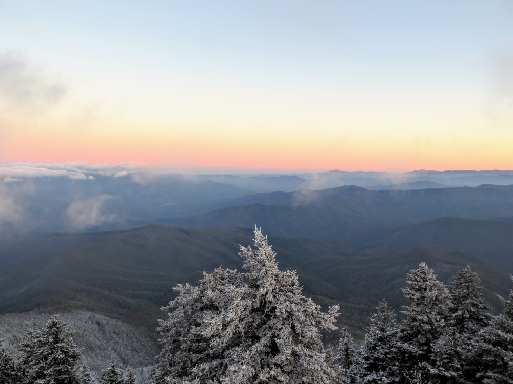
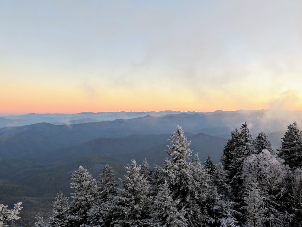
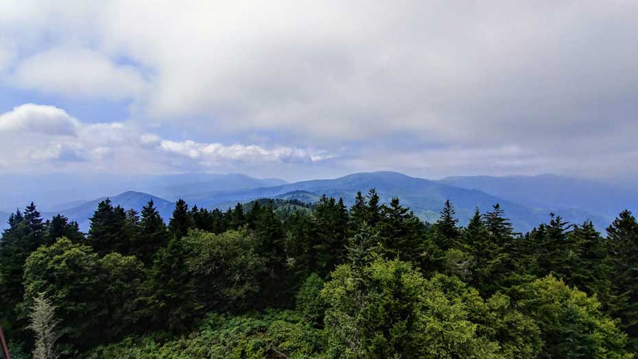
The tower and the top cab is open to the public. Almost all of the windows inside the cab remain intact, so you will get the best views from the stairs just below the cab. Mount Cammerer, home to another lookout tower, is the abrupt peak northwest across the Big Creek watershed. Due west, the tallest peak is Mount Guyot, the second tallest mountain in the national park. Mount Sterling Ridge continues southwest, culminating in Big Cataloochee Mountain. The expansive Balsam Mountain transverse chain lies behind Big Cataloochee Mountain. The Cataloochee Divide rises south above the remote Cataloochee Valley. The highest peak on the divide is Hemphill Bald, whose massive bald summit should be discernable. Further south to the left of Hemphill Bald are the Plott Balsam Mountains. In the distance southeast are the Great Balsam Mountains. The Newfound Mountains rise east above the Pigeon River. On clear days you should be able to see the dominant crest of the Black Mountains. The Bald Mountains rise north and northeast above the Pigeon River Gorge, with Max Patch the most recognizable peak in the northeast.
Mile 3.2 – Turn left on the Mount Sterling Trail.
Mile 5.5 – Hike ends at Mount Sterling Rd.
Late August
Mid November
Video
Mount Sterling
Mount Sterling Hike Comments
Archived Comments
By:Zachary Robbins
Rating:
Date of Hike: Sunday, August 26, 2018
I did almost this entire hike one-way as part of a big backpacking loop above Cataloochee Valley. I connected with this hike following the Mount Sterling Ridge Trail northeast on the final push to the summit. The temperatures and wind felt fantastic, but just like last November 2017 the clouds did not cooperate. I had hazy views in almost every direction, so maybe 3rd time is a charm? I spent around 45 minutes at the summit refueling, letting my shirt dry on the tower beams, and taking pictures and video. I then had to take the Mount Sterling Trail 1.8 miles down to connect with the Long Bunk Trail, and I have to say this descent sucks. When I did it in November everything was coated in a fine layer of snow and ice, so the entire hike felt hazardous. It is almost as hazardous in dry August. The grade is relentless and the rocks horrible, especially the upper mile. If you do this, mentally prepare yourself for the downhill being worse than the uphill. My thoughts might be influenced by the fact this was after 19 miles and 5,000 feet elevation gain of hiking so far, but still, the Mount Sterling Trail is tough for its short mileage. Any other route to the top requires a lot more mileage and elevation gain. Worth it though if you get a clear day up on Mount Sterling, one of my favorite mountains in the Smokies.


