|
|
Length |
Difficulty |
Streams |
Views |
Solitude |
Camping |
| 11.9 mls |
 |
N/A |
|
 |
|
Hiking Time:
Elev. Gain:
Links:
Resources: |
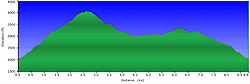
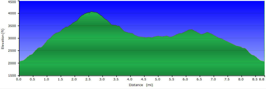
7.0 hours including time for lunch
3,360 ft
 George Washington National Forest
Topo Hike Trails Map (PDF)
Oronoco VA Weather Forecast
Garmin (GDB), Gaia/Trails App
(GPX) (What's this?)
3D
View of Route |
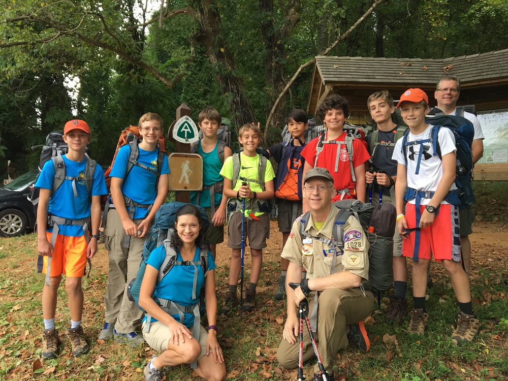
 By Trail Contributor: Jeff Monroe (Email Jeff) (Email Jeff) By Trail Contributor: Jeff Monroe (Email Jeff) (Email Jeff)
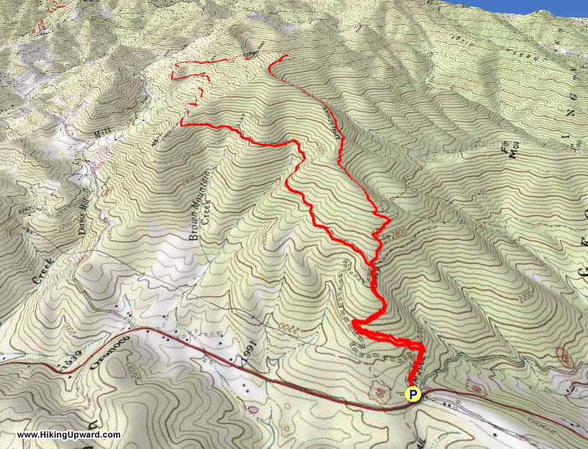
This section of the Appalachian Trail offers a great workout and some spectacular views. And, because this trailhead is right on a wayside on U.S. 60, winter access is seldom an issue. This loop connects with the popular Cold Mountain hike, offering advanced hikers a longer option or even a backpacking opportunity in a 14 mile + hike. This hike uses an old road and a current Forest Service road, to make this a loop hike, rather than an out-and-back.
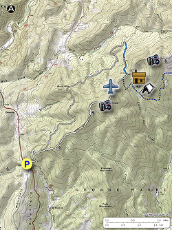
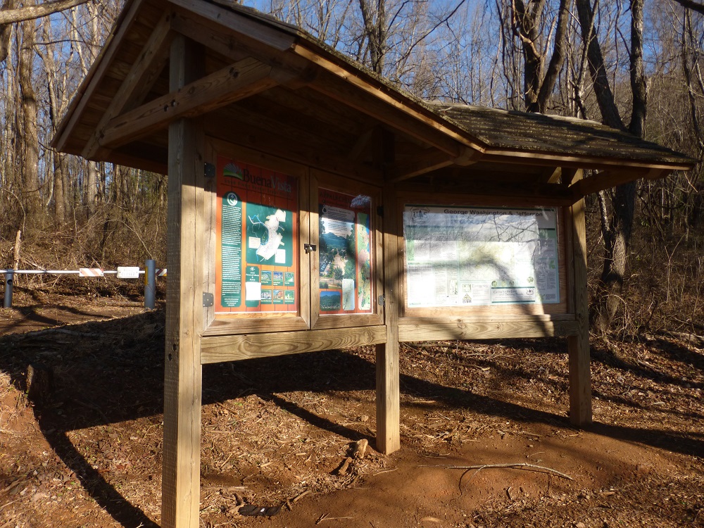
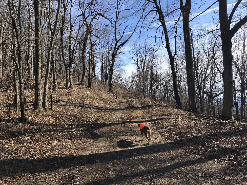
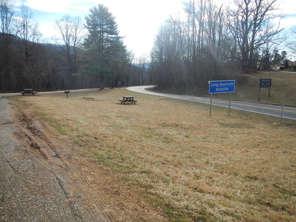
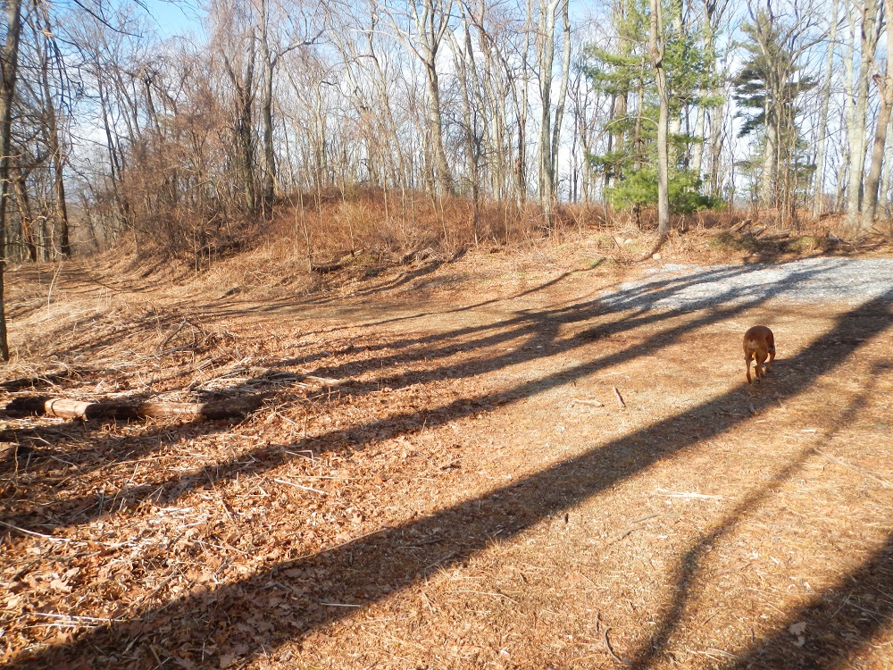
- Mile 0.0 – Park at the Long Mountain Wayside on U.S. 60. During late Spring and early Summer, you will likely see an AT thru-hiker or two waiting for a ride down to the nearby town of Buena Vista for an overnight. The AT does not again cross a paved road heading northbound until after descending The Priest, over 25 trail miles to the north. This hike starts behind a kiosk offering a trail map of the area and information for thru-hikers.
- Mile 0.8 – Reach a road crossing after climbing steeply almost from the beginning of this hike. To the right on this road about a half mile is an overgrown campsite and occasional water source. As you cross this road, note to your left that the road on which you will return to this spot is very close by. The AT continues up slope a little to the right of where it reached the road.
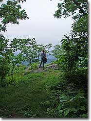
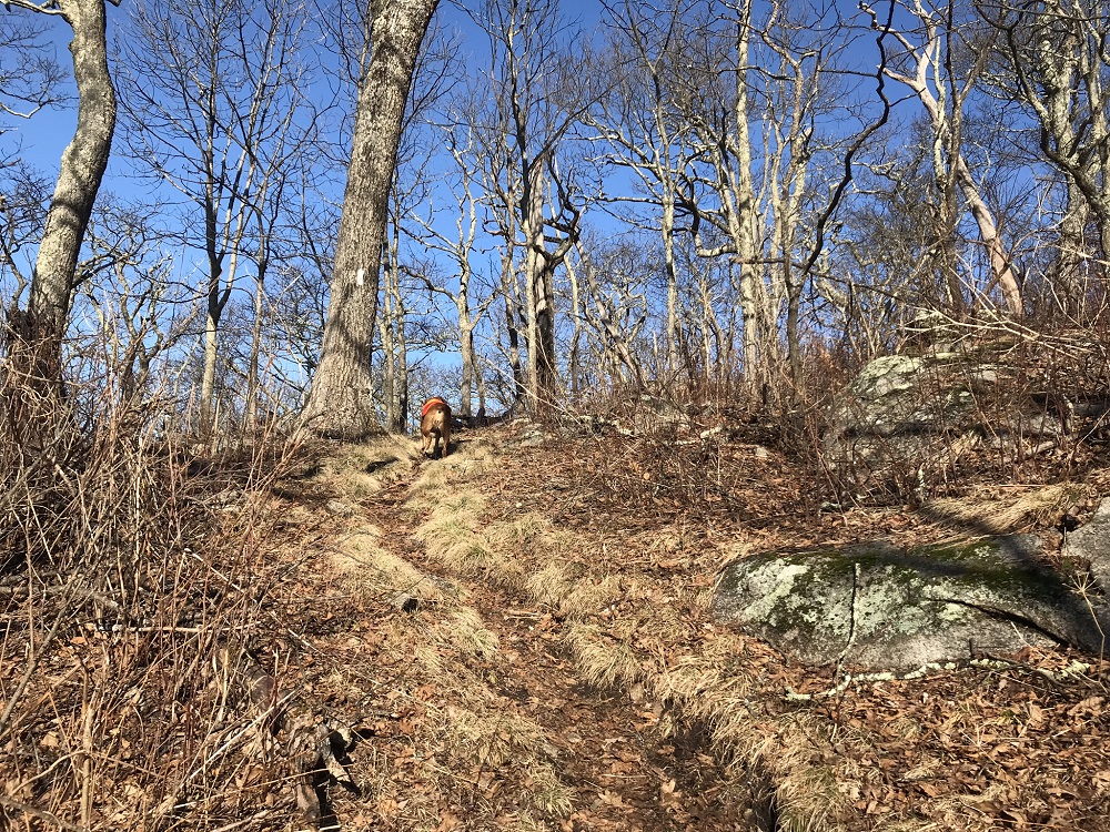
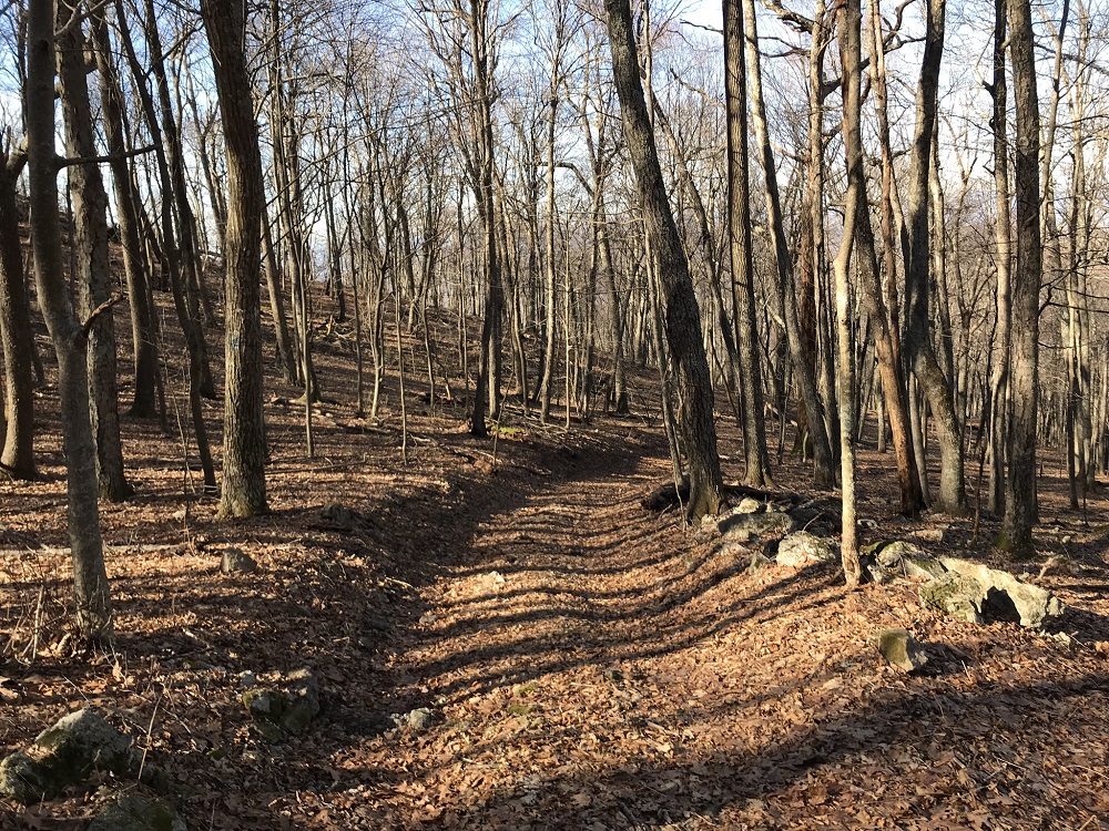
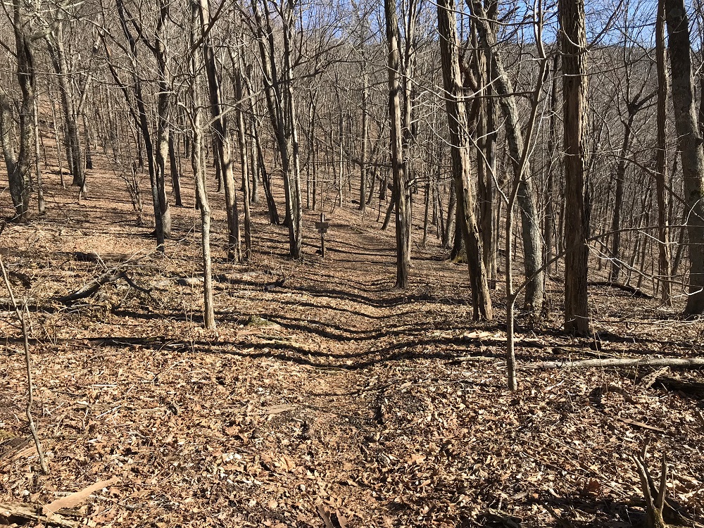
- Mile 1.0 – As you climb, there is a winter view to the south. Although this section of the AT does not receive the awe and respect of the AT’s longer ascent of The Priest from the north, this ascent is steeper in sections, and is a tough climb. We’ve come across thru-hikers coming up from Georgia who have asked if this uphill ever ends!
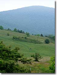
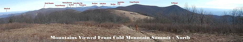
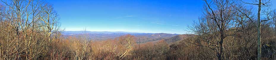
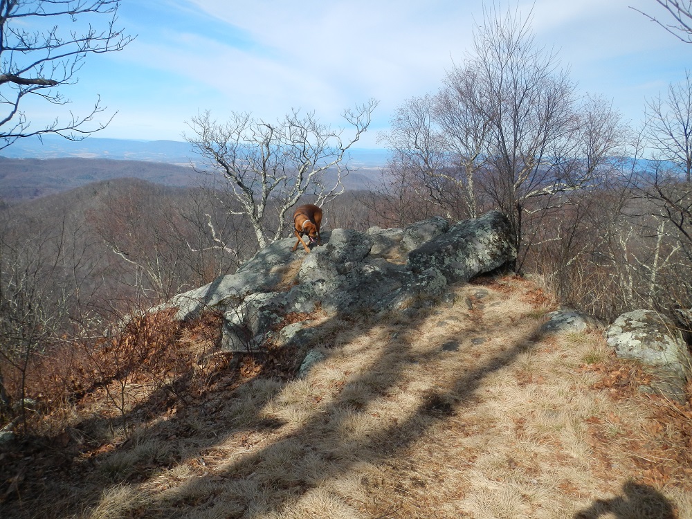
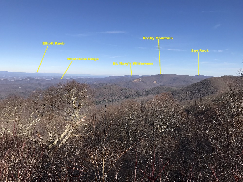
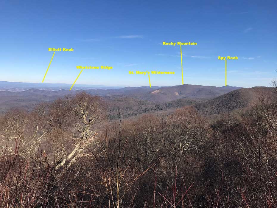
- Mile 2.5 – Nearly to the top of Bald Knob is a nice view from a rock on your left, with views of mountains up and down the Shenandoah Valley. The summit that is easiest to identify is the one with the antennae: Rocky Mountain. The AT once summited Rocky Mountain, before the antennae were built. It now heads north to the right of this mountain. Also visible is a wide range of vistas from hikes described on this website, including Elliott Knob, Spy Rock, Whetstone Ridge, (photo) and, further south, Jump Rock.
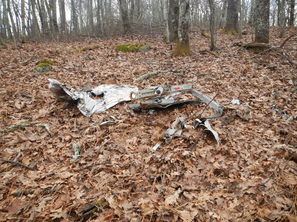
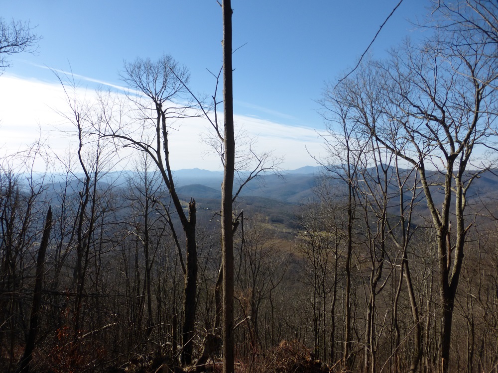
- Mile 3.1 – After summiting a tree covered Bald Knob, which is the high point of this hike at 4040 feet, you begin descending to the north with winter views of Mt. Pleasant. On your left as you descend, you may spy the metal remains of a 1979 military jet crash that killed two servicemen. It seems that the crash site has gotten harder to locate through the years; it was not visible in 2018, though this photo shows it from hike four years earlier. We hope that it was not more recently visible due to downed trees rather than macabre souvenir hunters. If you do locate the plane crash, please show respect to these men who gave their lives for our country, and leave no trace – which includes leaving metal remains for others to experience!
- Mile 3.5 – The trail reaches an intersection in a sag, meeting the Cold Mountain loop hike and the hiker has several choices. If low on water, turn right for half a mile to the Cow Camp Gap Shelter, which has a year round stream. This hike continues ahead to grab more vistas, but you could also turn left here (you will return here later in the hike) if you want a shorter loop of 9.1 miles without the Cole Mountain portion of the hike. If you wish to cut the hike short, turn left now, and then skip to Mile 6.3, below.
- Mile 3.8 – After continuing northbound on the A.T. from the intersection with the Old Hotel Trail, reach the first of a couple of vistas on your ascent of Cold Mountain.
- Mile 4.2 – Reach another westbound vista.
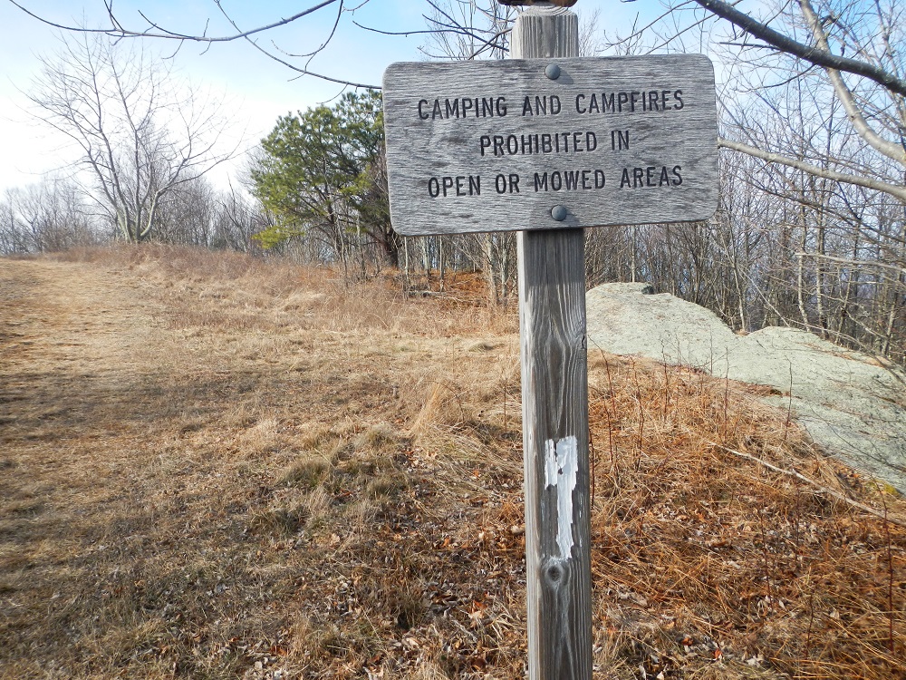
- Mile 4.6 – Enter open field near summit of Cole Mountain. No camping in the open area.
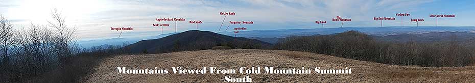
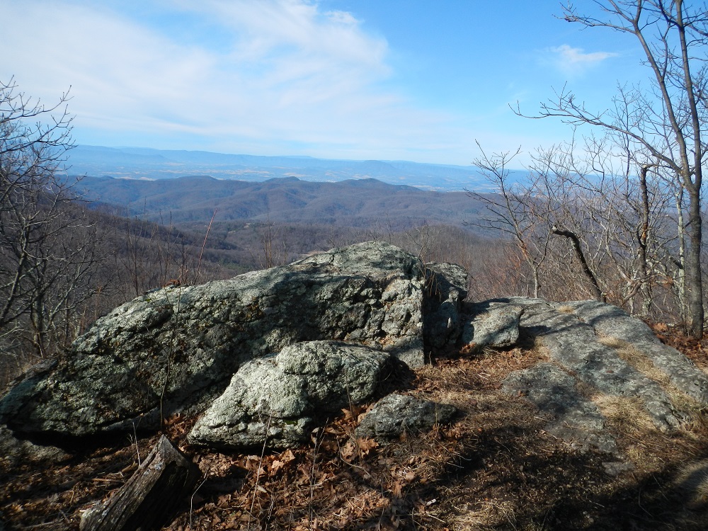
- Mile 4.7 – An area of large rocks with a survey marker gives a great place to lunch and enjoy the southbound views. Mountains can be seen as far as McAfee Knob on a clear day.
- Mile 4.9 – Continue north until the trail dips for awesome views of the mowed area and mountains to the north as far as Shenandoah National Park. It is now time. Not just to turn around, but to do what you’ve been itching to do since you summited. Go ahead! You can spin around with your arms out and sing “The Hills Are Alive!” It is acceptable behavior here. Head back southbound after your spin, retracing your steps.
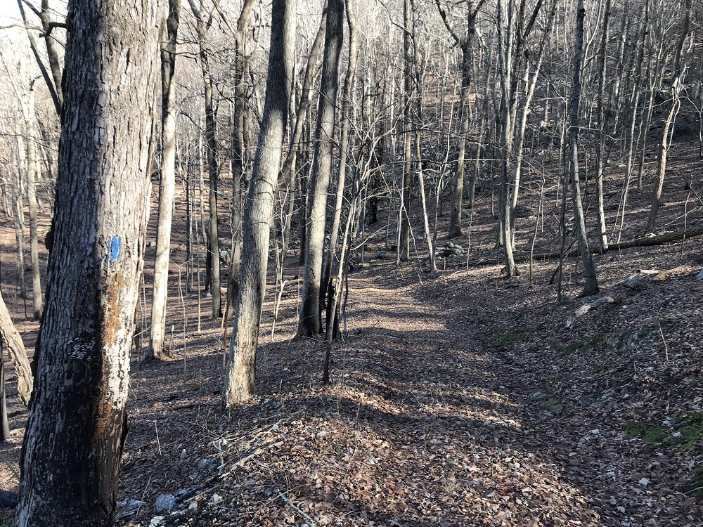
- Mile 6.3 – Return to the intersection you passed at Mile 3.5. To your left is the trail to the Cow Camp Shelter. Straight ahead is the AT section you hiked coming down from Bald Knob. This hike description takes the path less travelled (and in summer, more overgrown), following an old road to the right of the trail intersection sign. Although this old road does not show up on current trail maps, it is blue blazed along its entire length and maintained as an access trail for volunteers working on the nearby trail shelter. And it is easy to follow – it is an old road! Turn right here.
- Mile 6.7 – Another old road merges into this road from the left. Old topo maps seem to indicate that following this unblazed road would intersect with our hike again when on the upcoming FR 520 and cut over a mile off of the loop. We chose not to explore this option and stayed on the unnamed blue blazed trail, so this is unconfirmed.
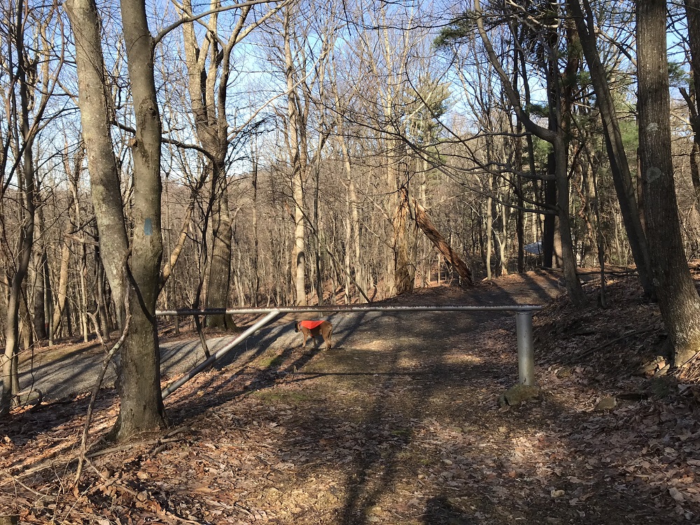
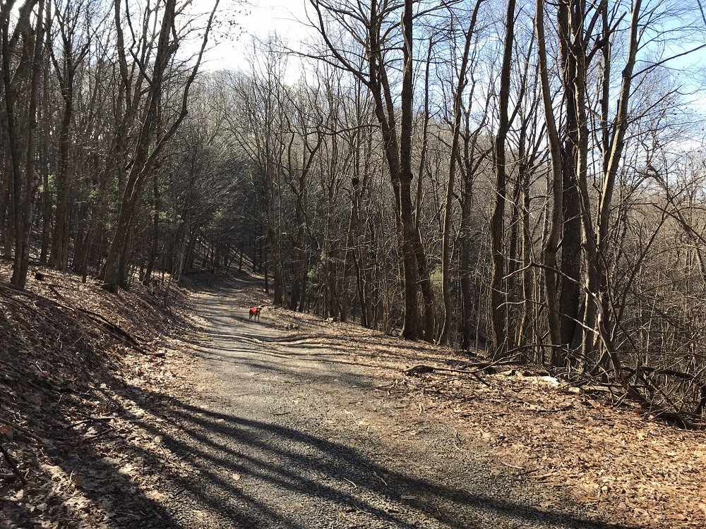
- Mile 7.1– Pass a closed gate and turn left on a gravel road. This road is FR 520, which is closed to traffic most of the year, but open during hunting season. On its busiest day, it still sees little traffic. On a recent hike when the gate was open, we experienced two motorcycles and, separately, one dog.
- Mile 7.6 – Pass a couple of streams, one after the other.
- Mile 8.3 – Pass another stream before the road begins to climb again.
- Mile 8.6 – A woods road intersects from the left. This is likely the same road passed at Mile 6.7.
- Mile 10.8 – A road comes from the left, and the AT crosses about 10 yards up the road. You can stay on the road or follow the AT back to your car. Tired of a road, we chose the AT.
- Mile 11.9 – Return to the trailhead. FR 520 also reaches the parking area, just to the right of the kiosk as you return to your vehicle.
|

