
|
| Length |
Difficulty |
Streams |
Views |
Solitude |
Camping |
| 26.0 mls |
 |
 |
 |
 |
|
Hiking
Time:
Elev. Gain:
Links:
Resources: |
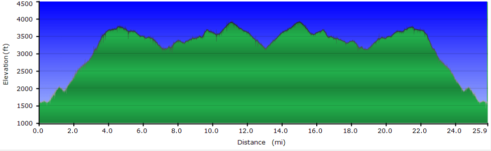
Day 1 - 6 hours, Day 2 - 6 hours
4,789 ft
 Jefferson National Forest Jefferson National Forest
Topo Hike Trails Map (PDF)
Pearisburg, VA Weather Forecast
Garmin (GDB), Gaia/Trails App (GPX) (What's
this?)
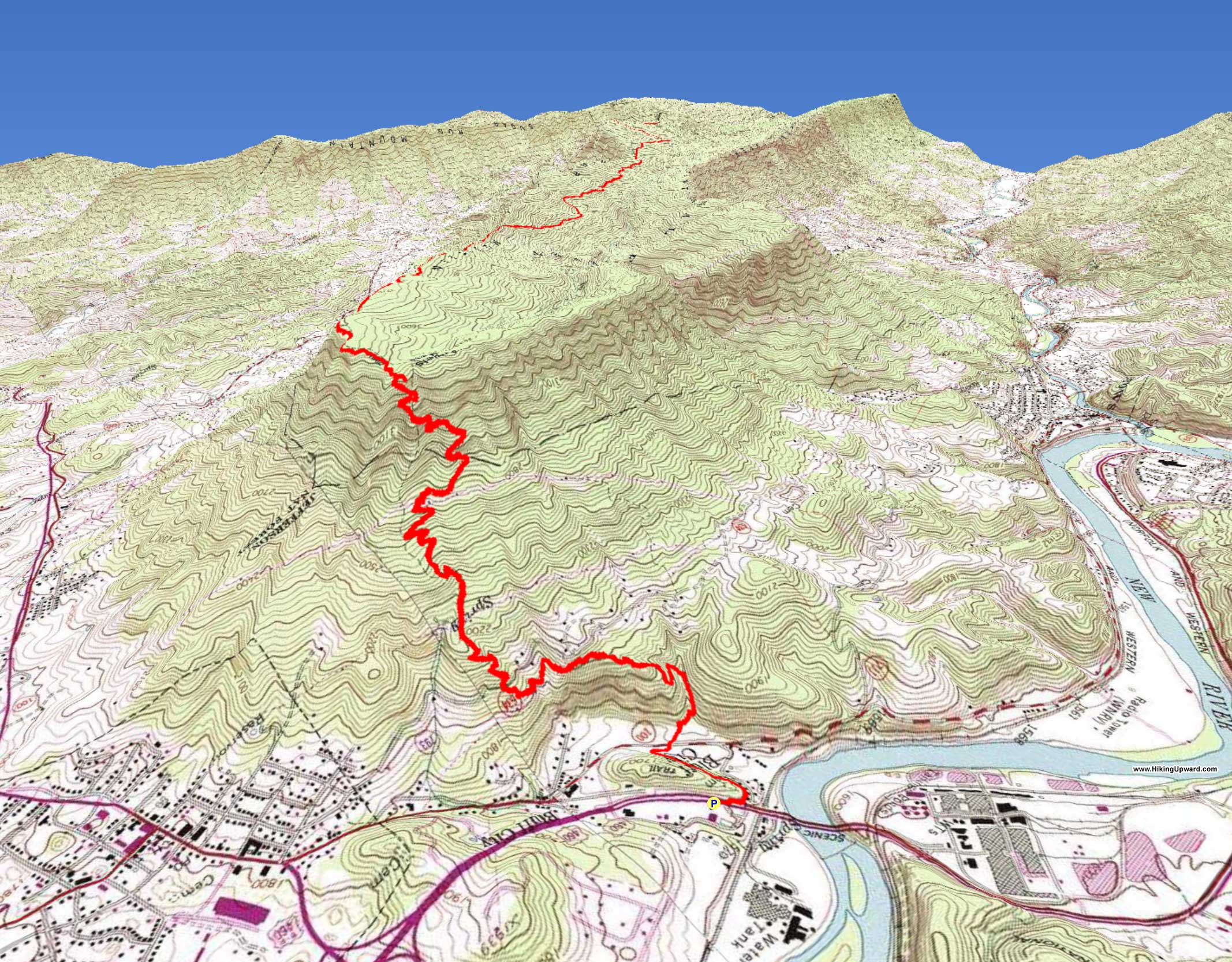
3D
View of Route |
 Don’t let the 26 mile length of this hike scare you off if all you want to see is Angels Rest. This is a 3 option hike: 1. Angels Rest out and back day hike (4 miles). 2. An overnight backpack to the Docs Knob AT Shelter (20.4 Miles). 3. An overnight backpack to the Woods Hole Hostel Docs Knob AT Shelter (26.0 Miles) Don’t let the 26 mile length of this hike scare you off if all you want to see is Angels Rest. This is a 3 option hike: 1. Angels Rest out and back day hike (4 miles). 2. An overnight backpack to the Docs Knob AT Shelter (20.4 Miles). 3. An overnight backpack to the Woods Hole Hostel Docs Knob AT Shelter (26.0 Miles)
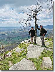
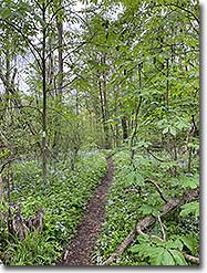
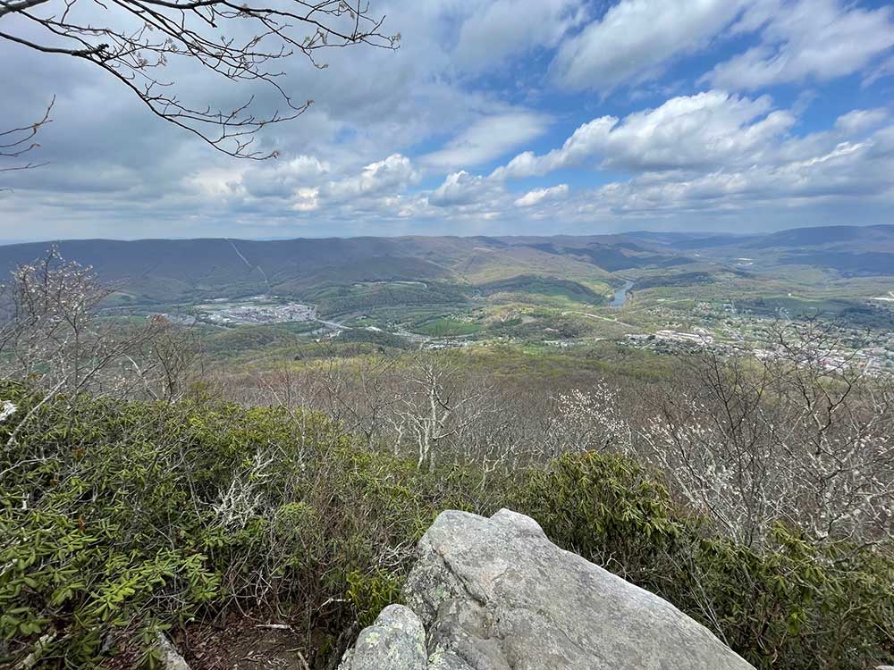
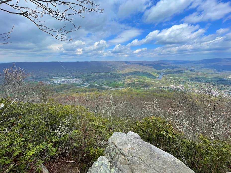
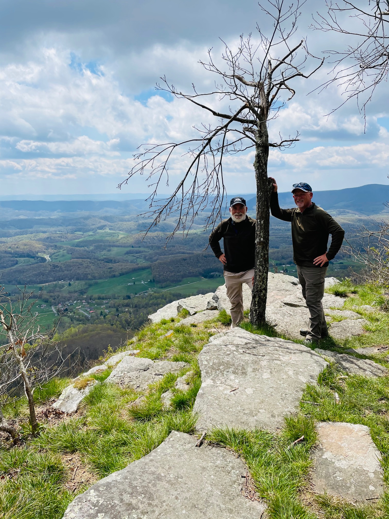
Angels Rest offers one of the most beautiful views of the New River as it meanders North through Virginia and into West Virginia. It is only 2 miles to Angels Rest from the Angels Rest Trailhead/Parking but be prepared for a tough climb, you will gain 1500’ to get there. There is an additional excellent view of the Wilburn Valley about ½ mile beyond Angels Rest, well worth the extra ½ mile.
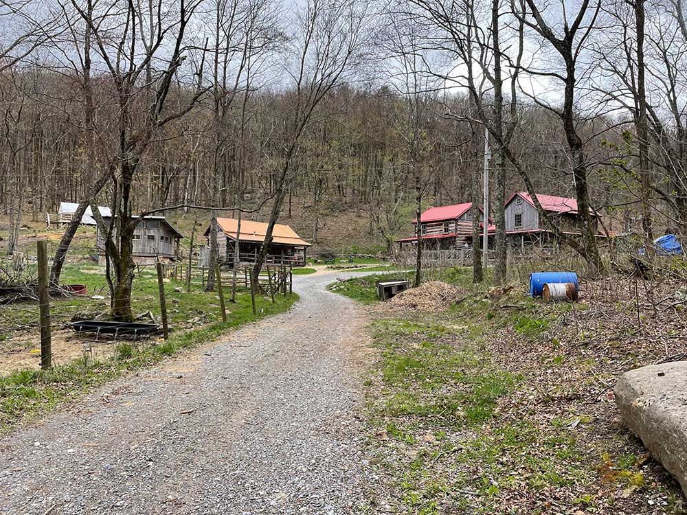
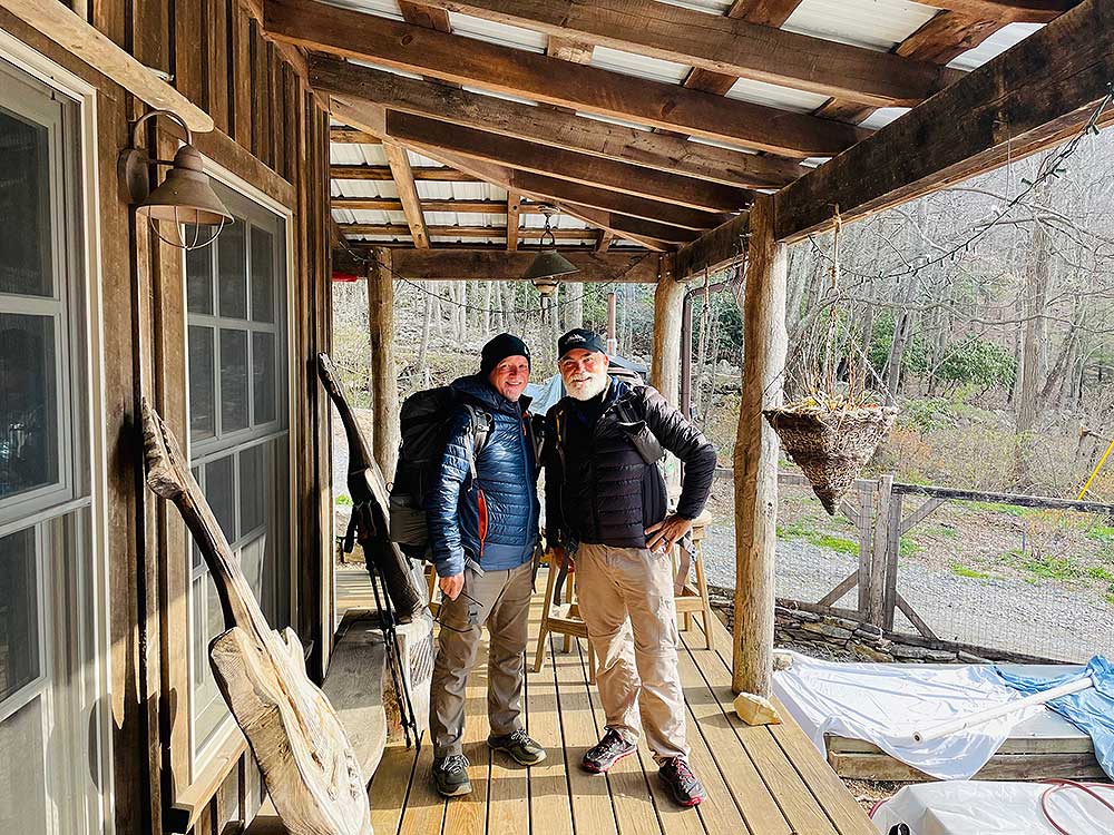
Who doesn’t want a hike with a shower, bed, dinner and breakfast at the halfway point? Well, if you do Option 3 and stay at the Woods Hole Hostel, that’s what you’ll have. We highly recommend spending the night at the hostel. Neville and her staff are so friendly. You will most likely meet some AT thru hikers and hear some great stories. We did this hike as a 2 day out and back backpack (minus tent and sleeping bag), spending the night at Woods Hole Hostel. Use Option 2 if you prefer an overnight backpack.
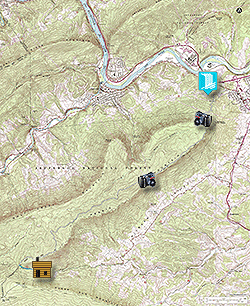
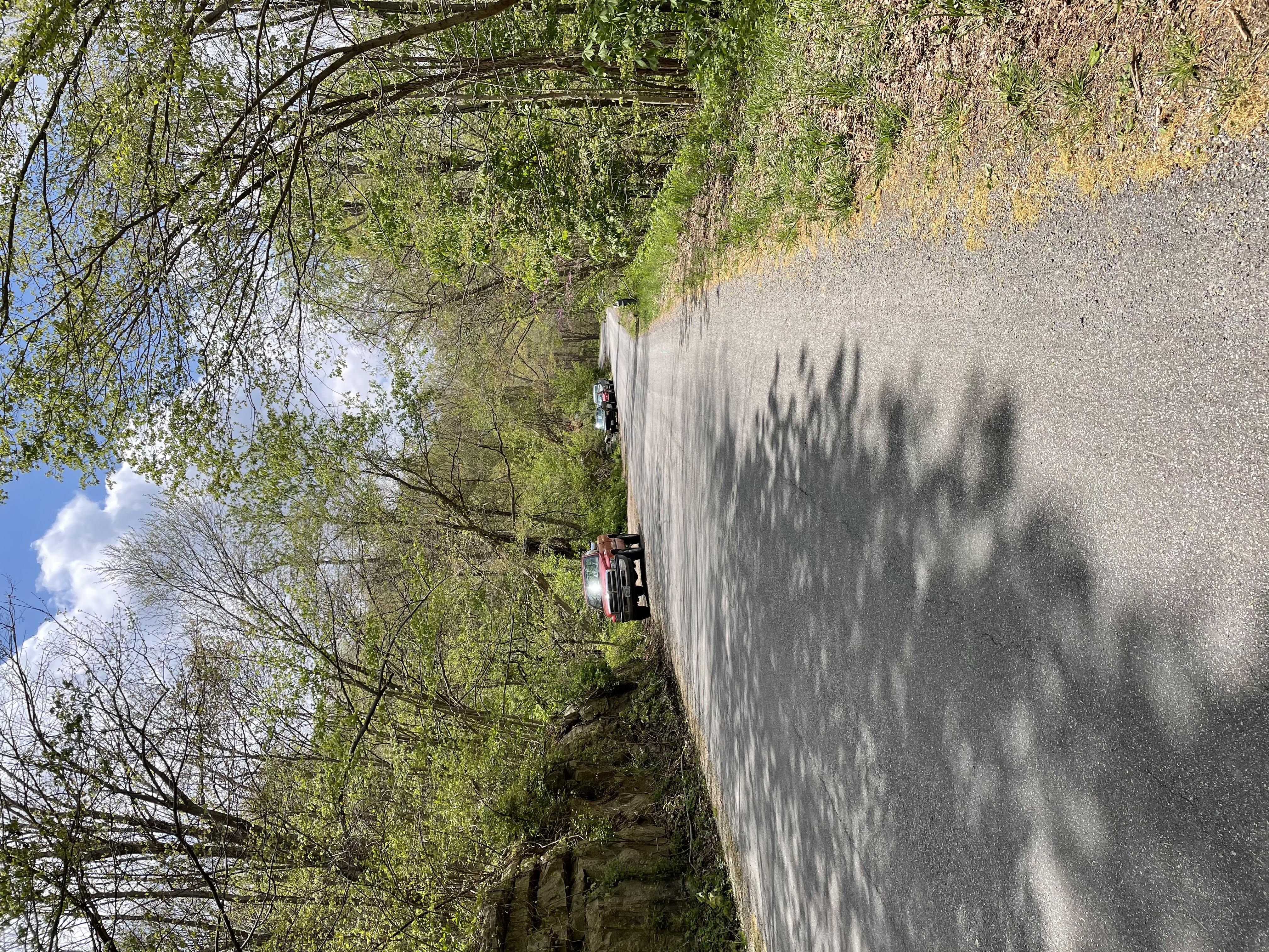
Park your car at the Farm Bureau Co-op on Route 460 West in the parking spots closest to Route 460. If they are open, give them a courtesy visit to let them know you are leaving your car there overnight. They are ok with this and this is the safest place for overnight parking.
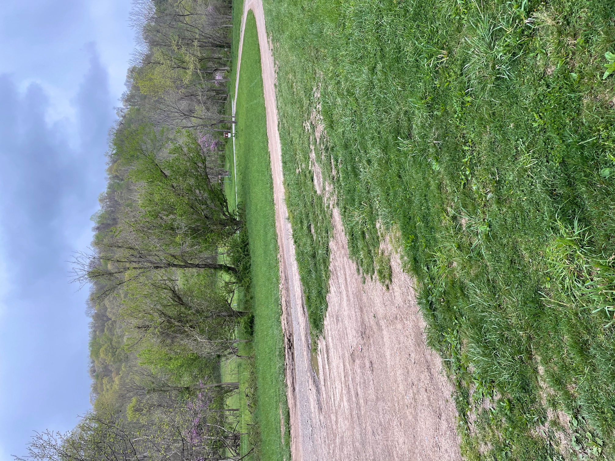
- Mile 0.0 - Park your car at the Farm Bureau Coop and cross Route 460 (be careful of the traffic) heading to the New River Bridge. The Appalachian Trail (AT) heading south will be just before the Bridge, turn left onto the Appalachian Trail.
- Mile 0.4 - Appalachian Trail Parking Lot. Head to the parking lot entrance, cross Route 100 to continue on the AT. This would be a good place to park if just going to Angels Rest and back day hike. From this point on you will start to gain significant elevation until you reach Angels Rest.
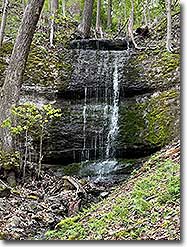
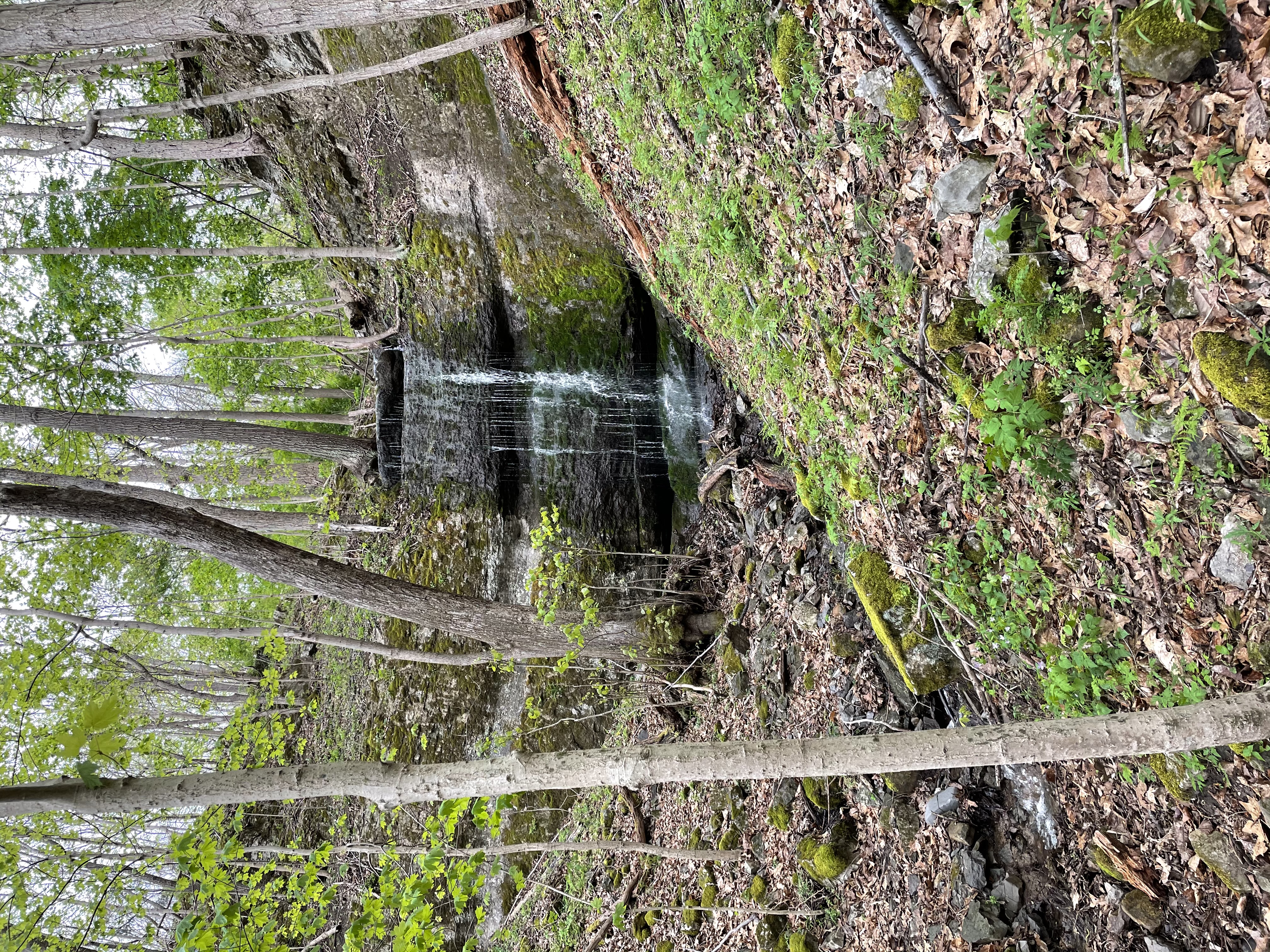
- Mile 1.4 – Small waterfall
- Mile 1.6 – Route 664 and Angels Rest Trailhead. There is a small parking area just around the bend on Route 664. You could also park here if just going to Angels Rest and back.
- Mile 3.6 – Angels Rest Intersection, follow the Blue Blazed trail for about 30 yards to the Angels Rest overlook and great views of the New River and Pearisburg. Recommend continuing on to the Wilburn Valley Overlook if you are doing this as a day hike, you will not be disappointed with the views.
- Mile 4.2 – Spring, short spur trail to spring. The next 3 miles to the Power Line is a nice ridge-line walk with no significant climbs.
- Mile 4.3 – Wilburn Valley Overlook, great view.
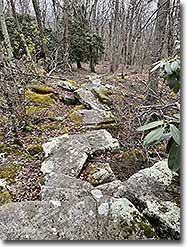
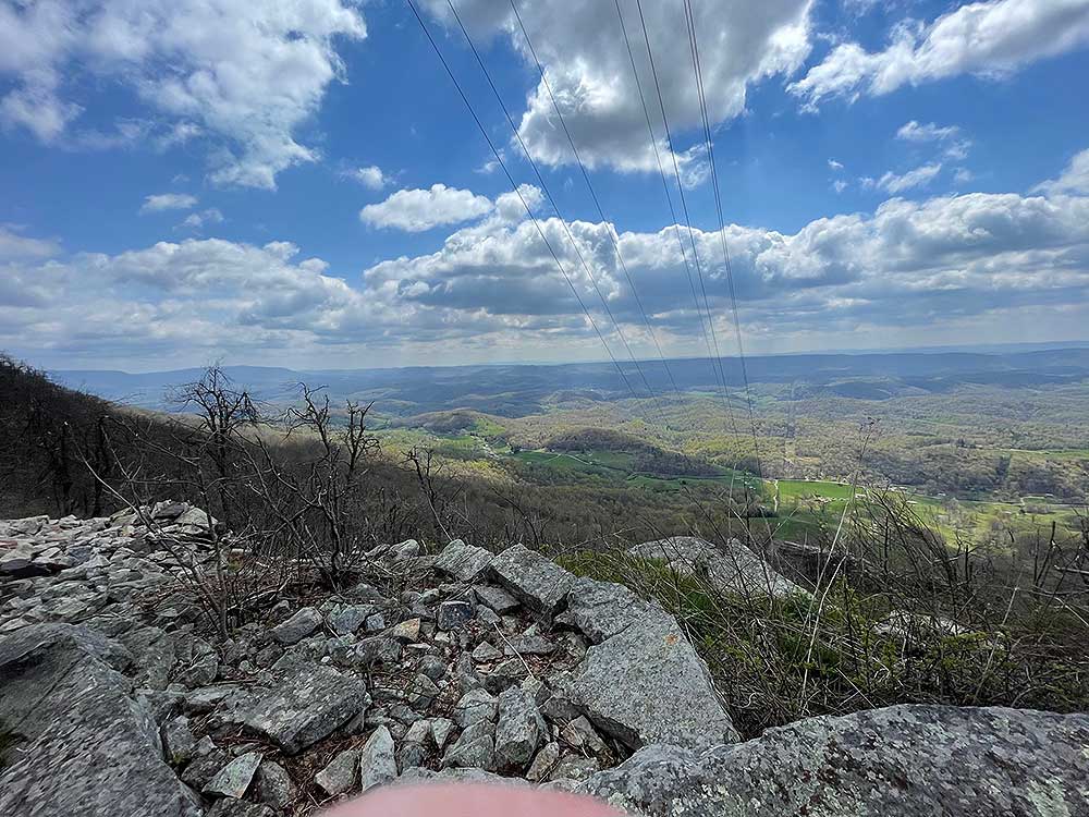
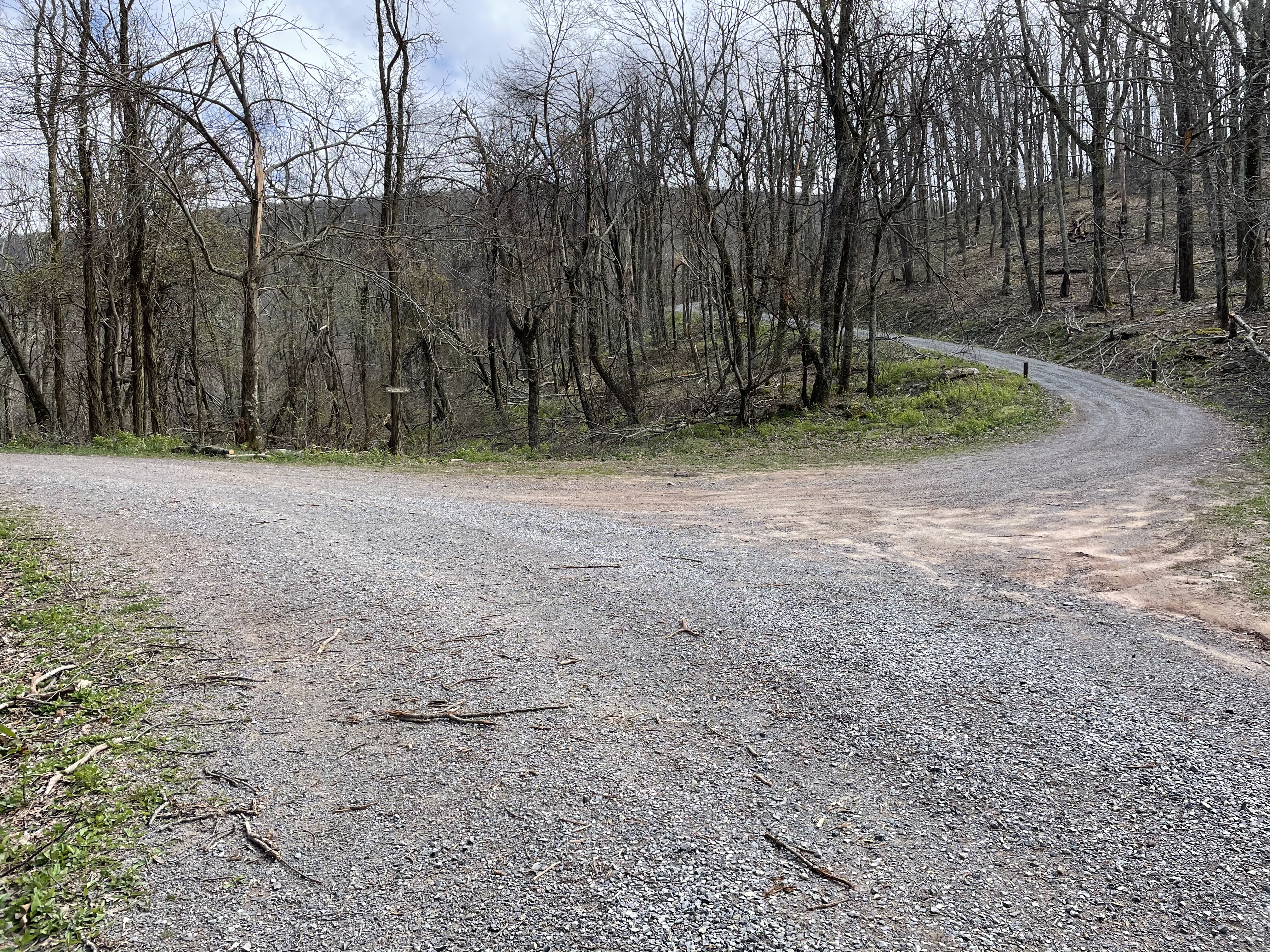
- Mile 6.5 – Power Line, views on both sides of the ridge. There are a few climbs on the way to Docs Knob Shelter but certainly nothing like the climb to Angels Rest.
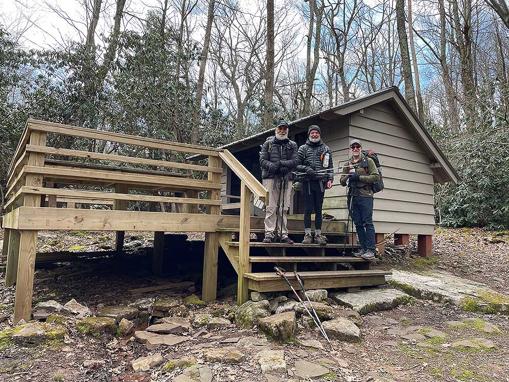
- Mile 10.2 – Docs Knob Shelter. This would be your stopping point if doing a backpack. There are some small campsites to the front of the shelter in the Rhododendron thicket. If continuing to the Woods Hole Hostel, you will have a climb going south of the Shelter for about 1 mile before leveling off and reaching SR 663.
- Mile 12.5 – Intersection with Route 663, bear left and head down SR 663 to the Woods Hole Hostel
- Mile 13.0 – Arrive at the Woods Hole Hostel. Be sure to make a reservation prior to your trip. During AT Thru Hiker Season it may be full.
Day 2 Note: There are 2 options to get back to your car in Pearisburg on Day 2. You could retrace your steps and hike the 13 miles back or you could set up a shuttle ride through the Woods Hole Hostel.
|
