|
 By Trail Contributor: Jeff Monroe (Email Jeff) By Trail Contributor: Jeff Monroe (Email Jeff)
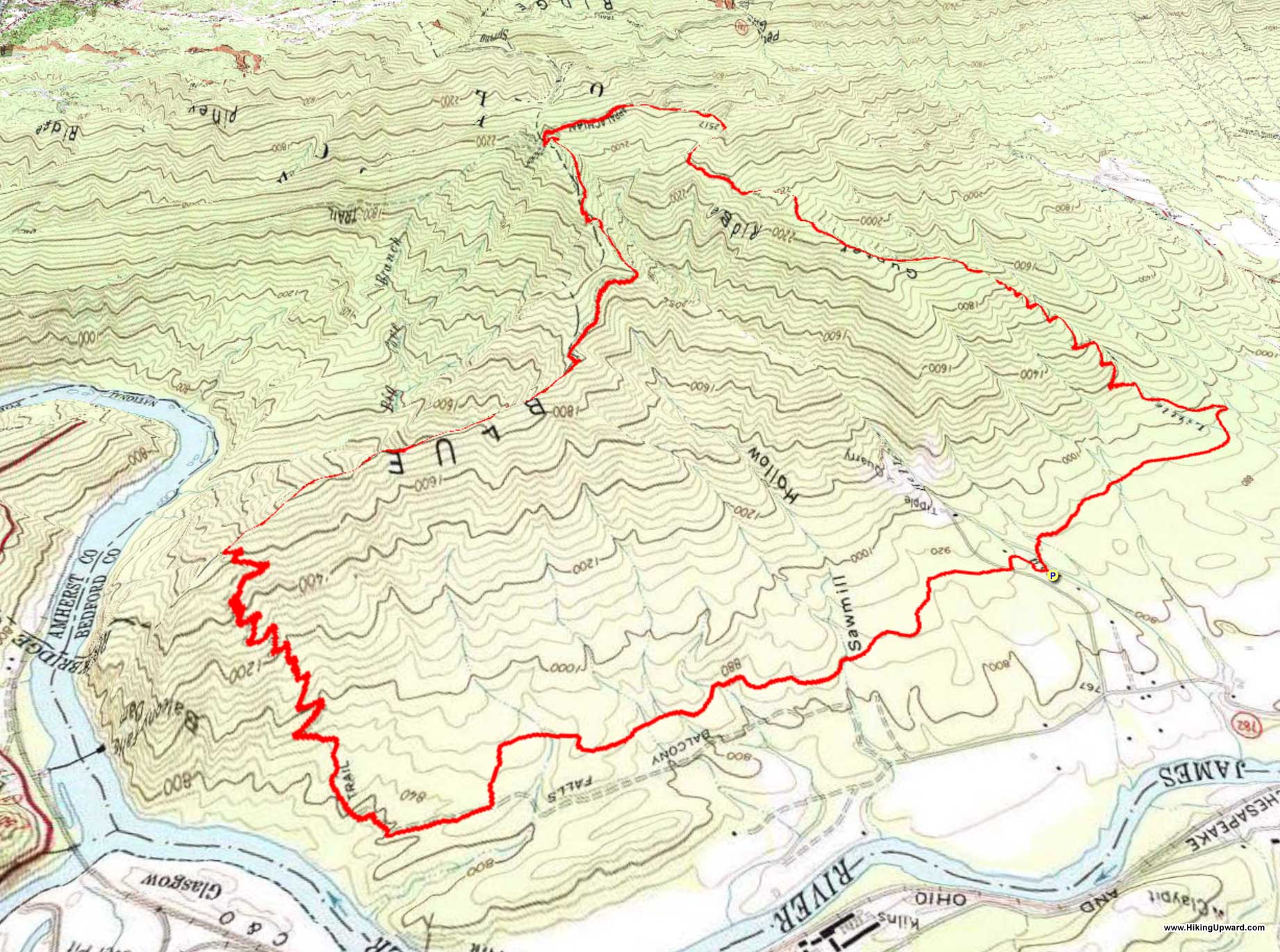
This loop hike explores the western side of the James River Face Wilderness, the original federally designated wilderness in Virginia. It is particularly great in the Winter, when leaf cover does not block views – especially on the ascent. Though it would make for a great backpacking loop, there are surprisingly few existing campsites along the loop.
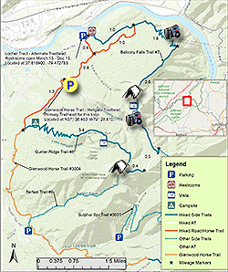
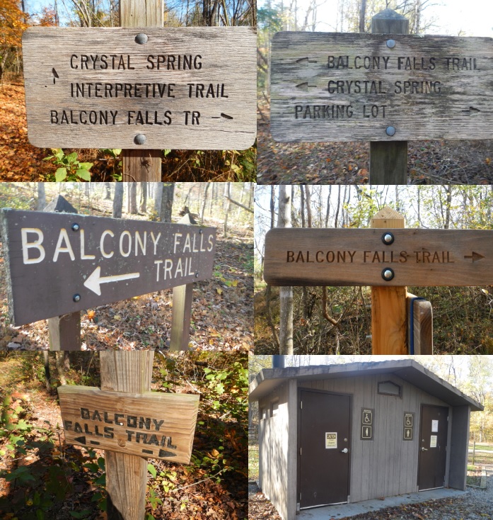
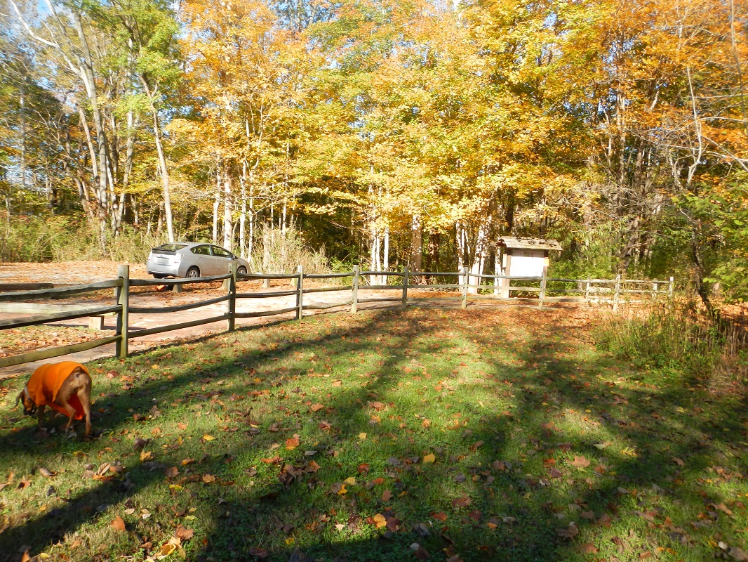
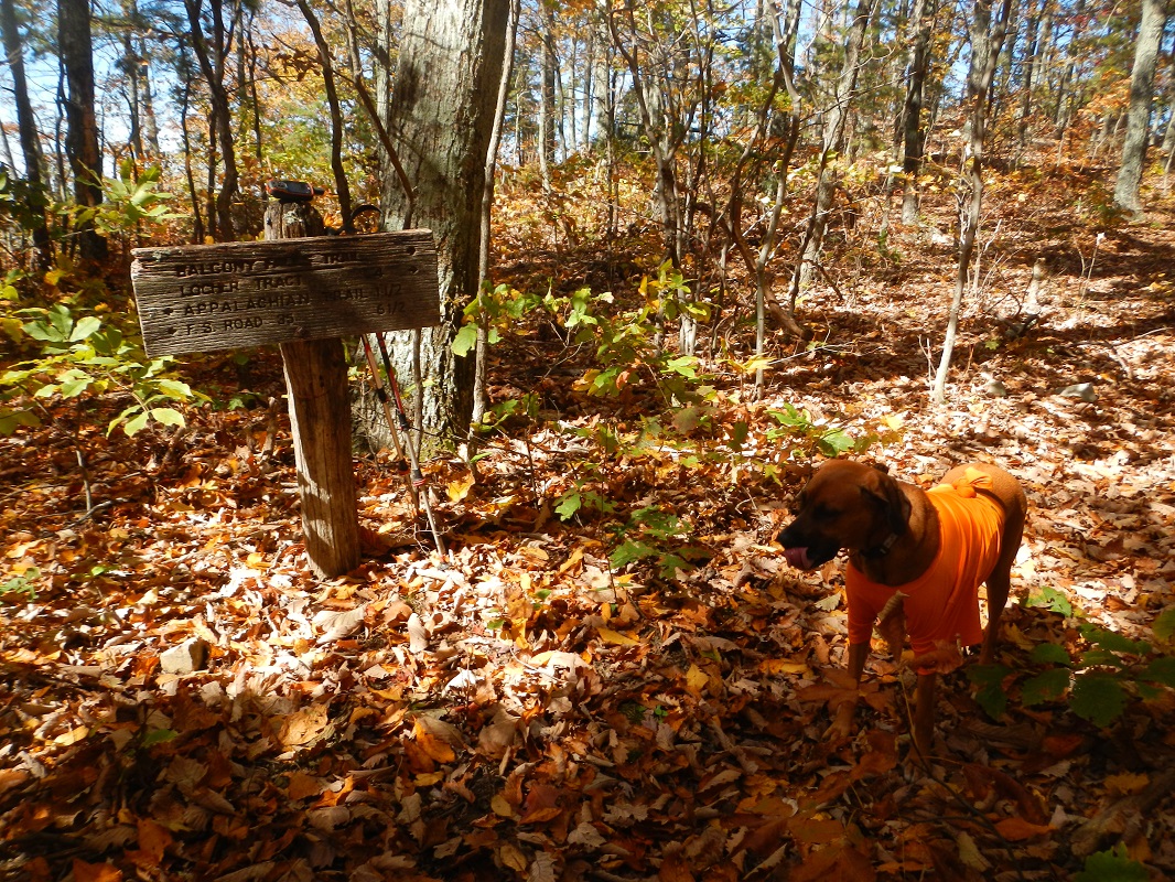
There are two possible trailheads for this hike. The description assumes you park at the Hellgate Trailhead (Google Maps labels it “Glenwood Horse Trail – Hellgate Trailhead”). The accompanying map also shows a parking lot at the Locher Tract. If hiking from the Locher Tract, there are seasonal restrooms (open March 15 – December 15), and the Balcony Falls Trail is well signed from this trailhead. Hiking this loop from the Locher Tract is about 0.4 miles longer than hiking from Hellgate. If hiking from the Locher Tract, this description meets your route at the 1.8 mile mark below, and at the end follow the directions at the beginning of the description (Mile 0.0 to Mile 0.9) to return to your vehicle.
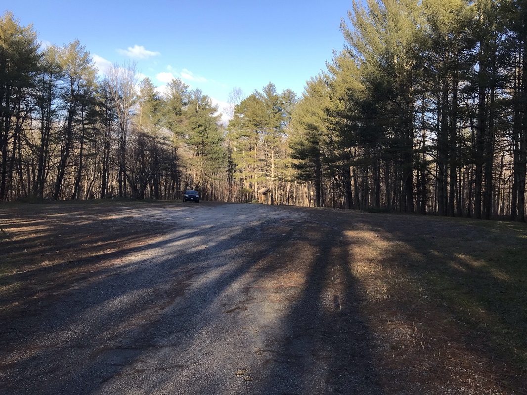
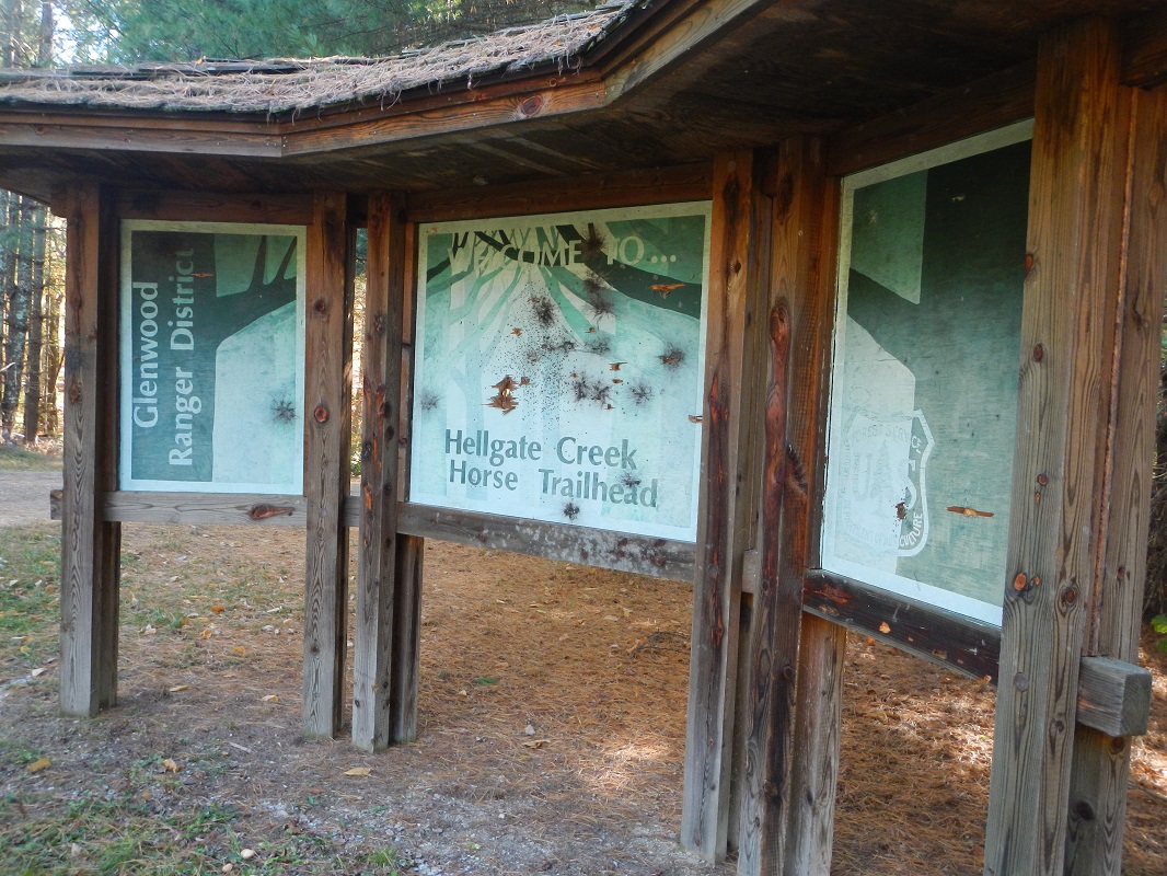
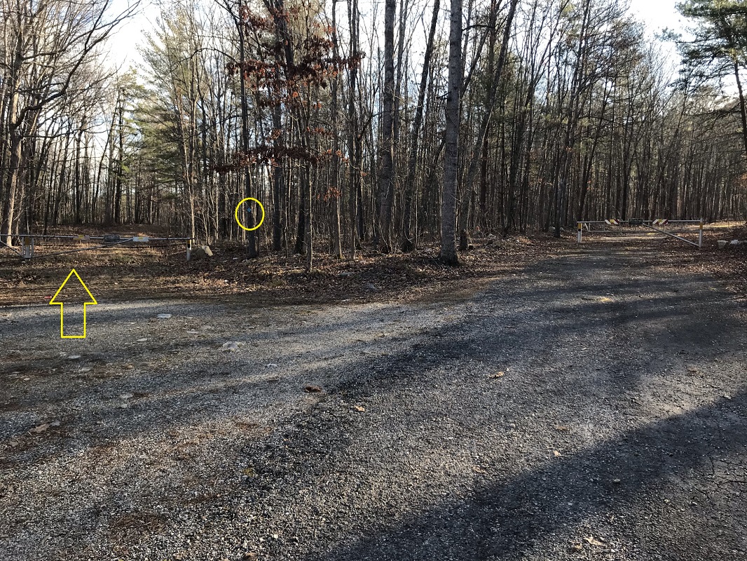
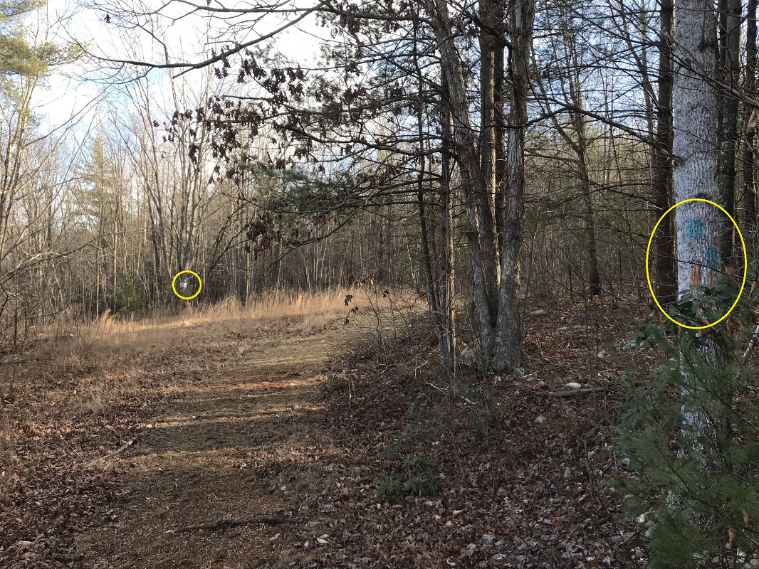
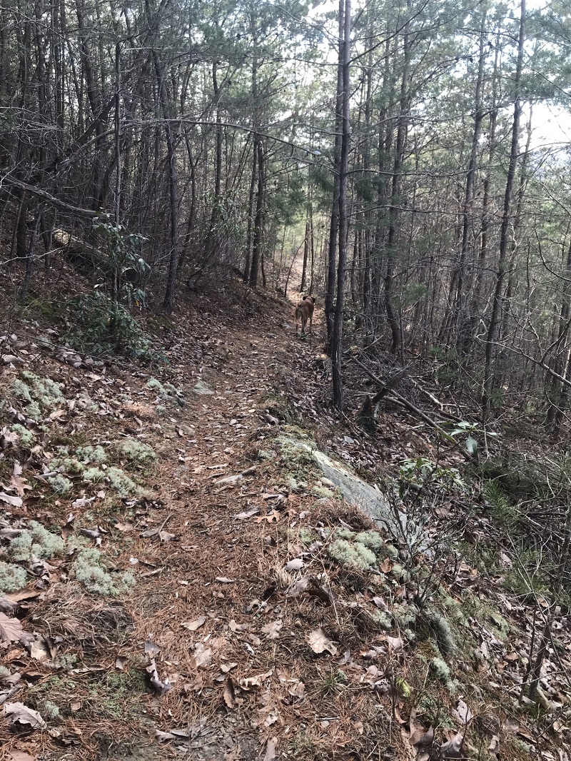
- Mile 0.0 – Start the hike in the Hellgate parking area on Big Hellgate Lane off James River Road, which is marked by brown recreation signage on the road. This is a huge parking area used by vehicles with horse trailers as the lot serves the Glenwood Horse Trail. The lot has two entrances, and you probably entered the lot passing a sign for the horse trail and a small, new, kiosk on your right. Start the hike by heading to the far entrance and passing a larger, older kiosk. Turn right onto the road and come to a fork in the road, with both options gated. Take the left fork, which may have a blue diamond blaze, as shown in the photo.
- Mile 0.9 – An unmarked, but obvious trail heads left off of the road. If you parked at the Locher Tract, take this trail back to your vehicle. If you parked at Hellgate, continue on the road, passing through some fields until it ends.
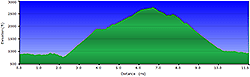
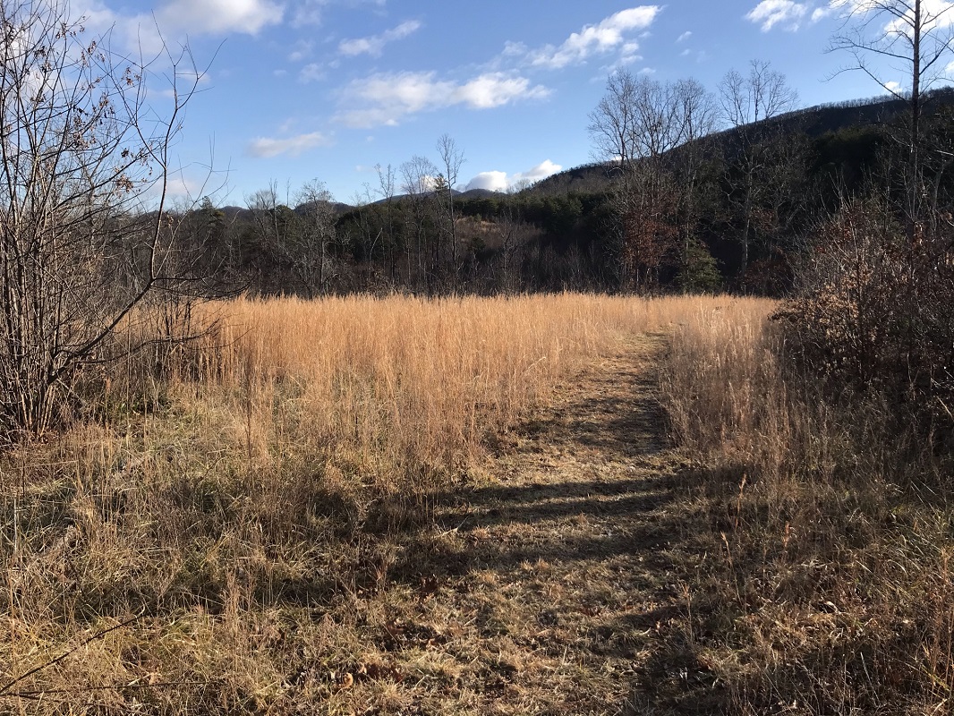
- Mile 1.8 – The road ends at an old turnaround area, now just a wide, treeless area. Look to the left as you approach for the continuation of the trail. Follow that a short distance to a T intersection, and turn right. There is no sign here, but you are on the Balcony Falls Trail. Descend briefly before beginning a 4.5 mile, 2000+ foot ascent.
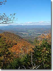
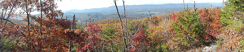
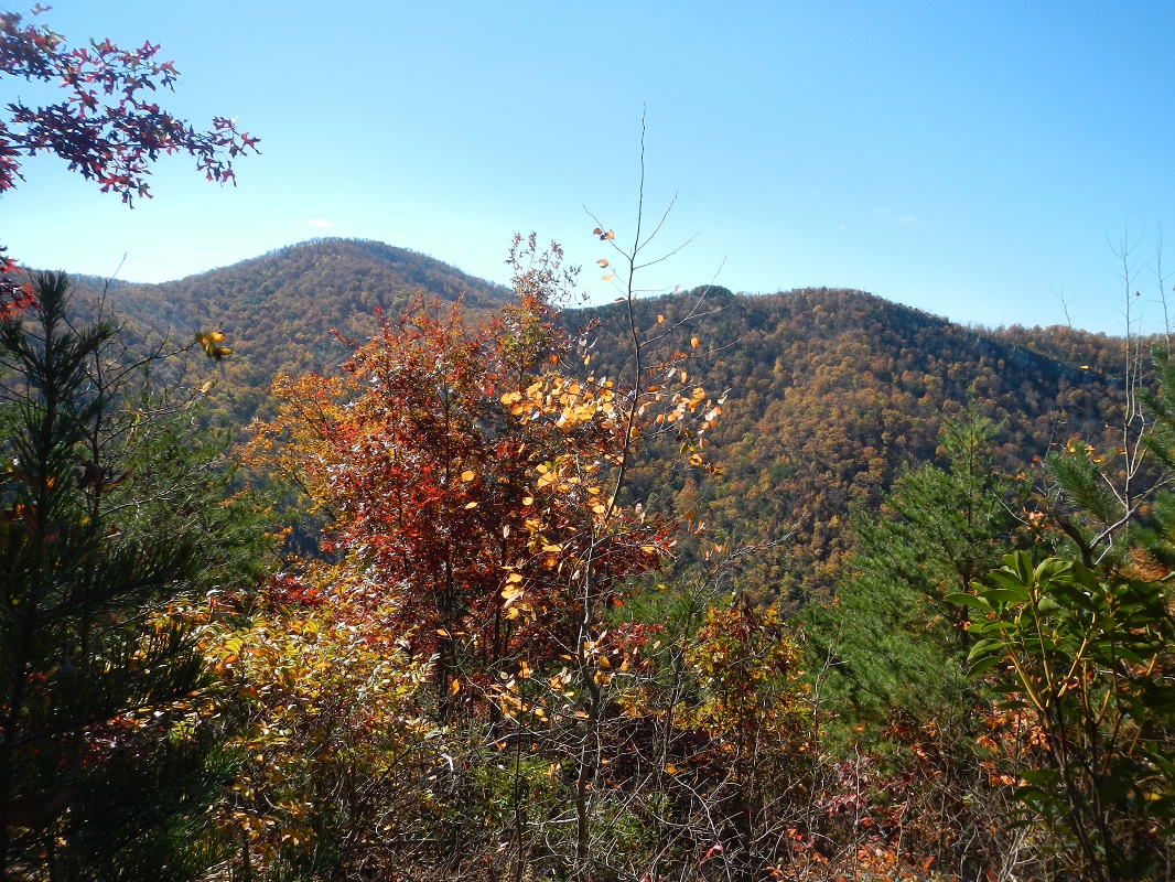
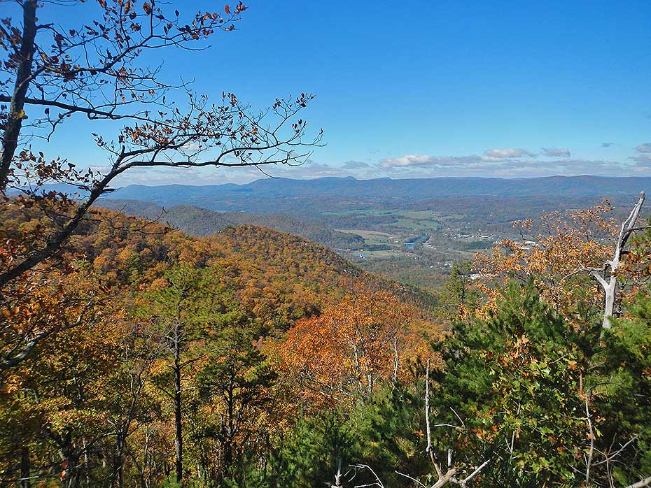
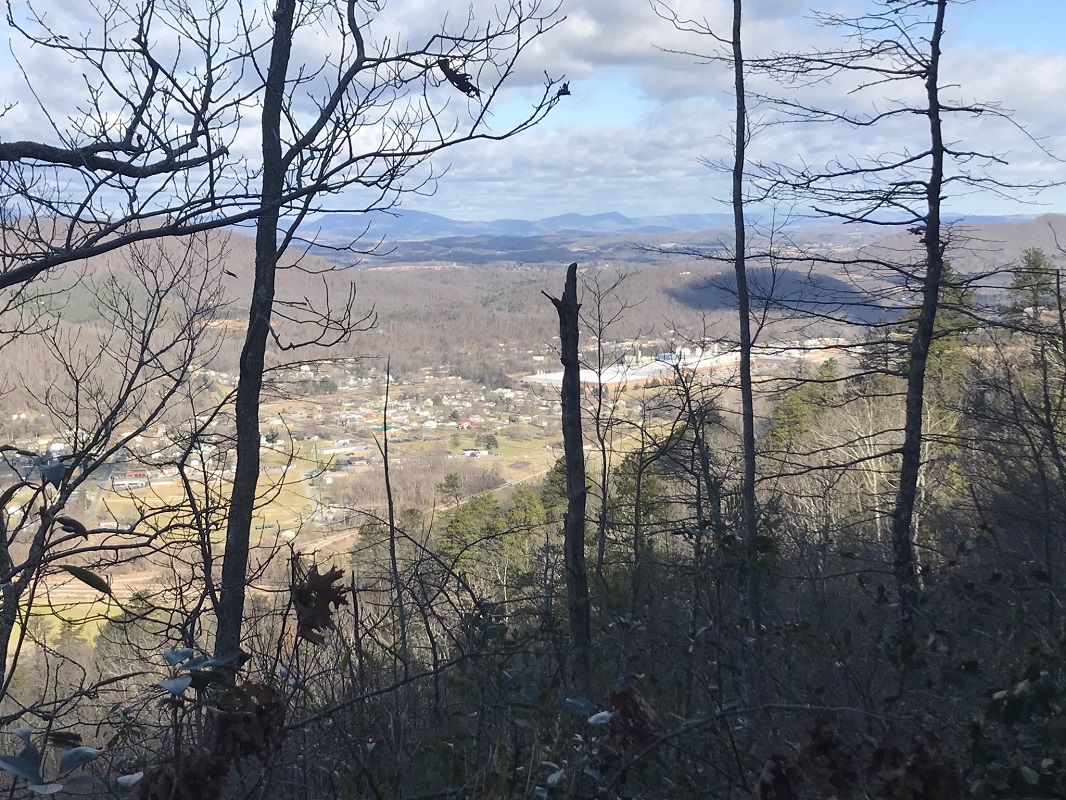
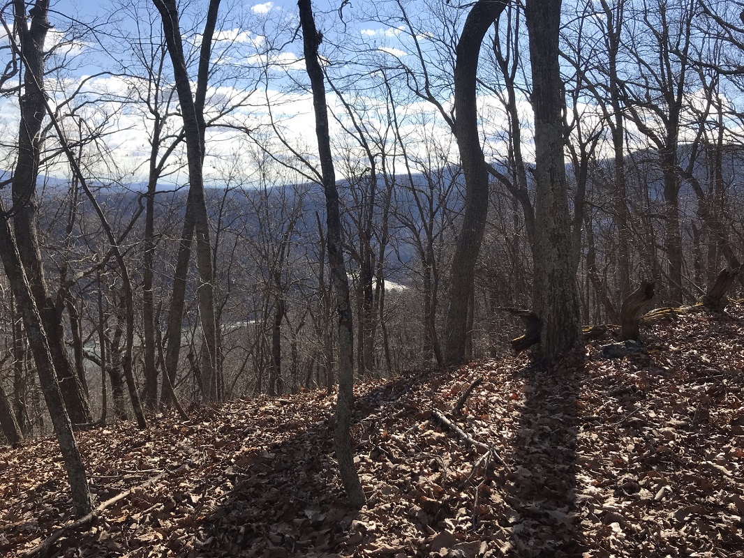
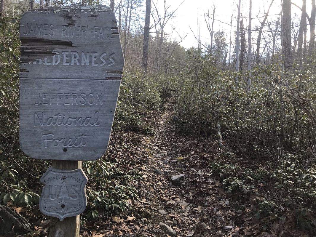
- Mile 2.5 – Come to a sign signifying entrance into the James River Face Wilderness. This sign is at the first of 19 switchbacks, as you ascend from 960 feet to a ridge at 1680 feet. Along the way are winter views of the town of Glasgow and the Maury River, along with views to the southwest.
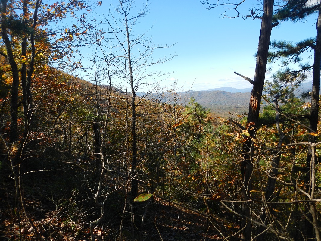
- Mile 3.6 – Reach a ridge, giving winter views of both the town of Natural Bridge Station on the west side and, for the first time, the James River east of the trail, glistening in the morning sun. Continue to climb, generally staying at or near the top of the ridge.
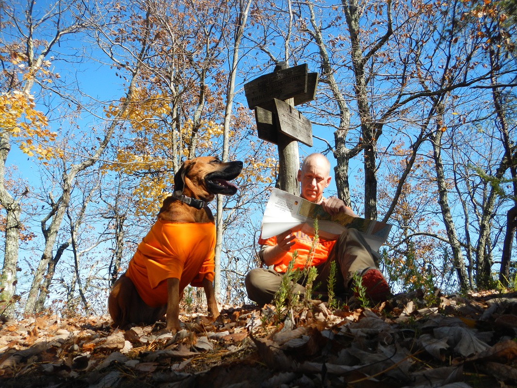
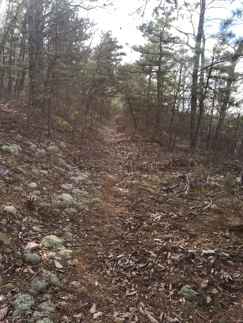
- Mile 4.6 – Come to a small, dry campsite on your right. For many years, there was a trail sign here, and it seemed strange that the sign was here – there is no trail intersection. Reviewing USGS topographic maps for the area gives the answer – prior to Wilderness designation for this area in 1975, this was the eastern end of the Balcony Falls Trail. A road from Petite’s Gap Road ended here, and you will be hiking on the old road until reaching the Appalachian Trail. Notice how the trail widens at this point. That sign lasted until 2020, 45 years after it became obsolete.
|
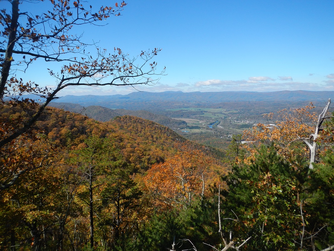
- Mile 5.5 - Wintertime views through the trees on the left side show the James River and this trail's namesake: Balcony Falls. The falls are actually a continuation of a line of rocks that create the fantastic views described in the Big Rocky Row hike on the north side of the James River.
- Mile 5.0 – Just after coming out from a grove of pine trees, pass several open areas with year-round vistas. One opening looks out towards the James River and the bridge you crossed driving to the trailhead.
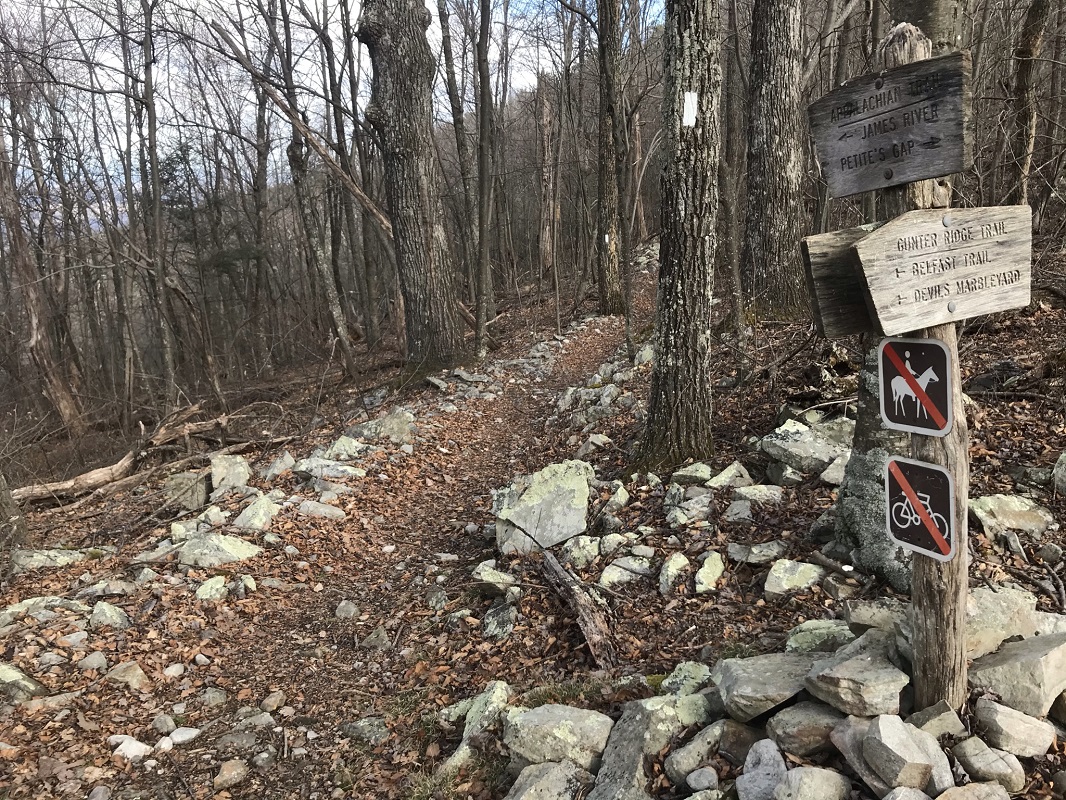
- Mile 6.1 – Shortly after a switchback to the left, the Balcony Falls Trail climbs up to the Appalachian Trail and the end of the Sulphur Springs Trail. The Balcony Falls Trail ends here. Note that both the Balcony Falls Trail and the Sulphur Springs Trail are parts of the old road described previously. You could lengthen this loop to a 15.8 mile hike by continuing on the Sulphur Springs Trail until it again intersects with the AT, and then taking the AT northbound to the Gunter Ridge Trail. This account does not describe that option, but if backpacking the long loop there is a campsite 2.8 miles down the trail at the next AT intersection, and likely others in flat areas that trail passes along the way. Instead, take a right on the Appalachian Trail, heading southbound toward Marble Springs following white blazes.
- Mile 6.6 – The AT takes a sharp left at an intersection with the Gunter Ridge Trail, marked by a trail sign that, strangely, has a “no biking” sign several miles inside of the Wilderness boundaries. Take a right here, leaving the AT and following the blue blazed Gunter Ridge Trail. Shortly after this intersection is the highest point of the hike.
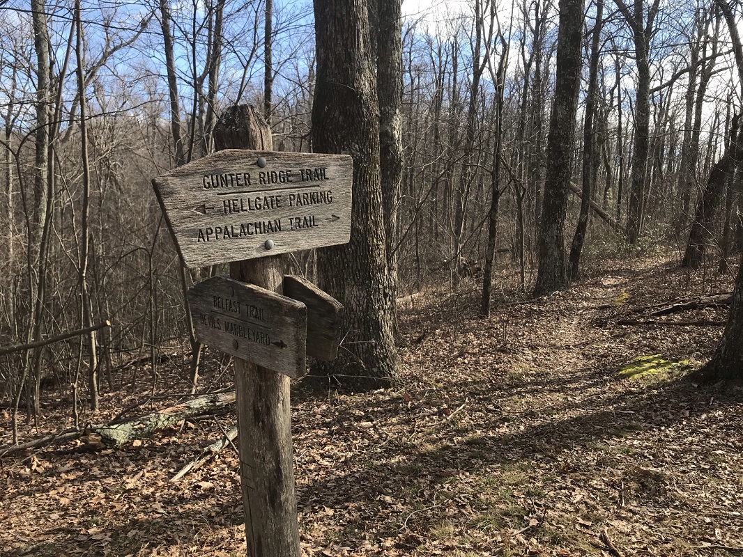
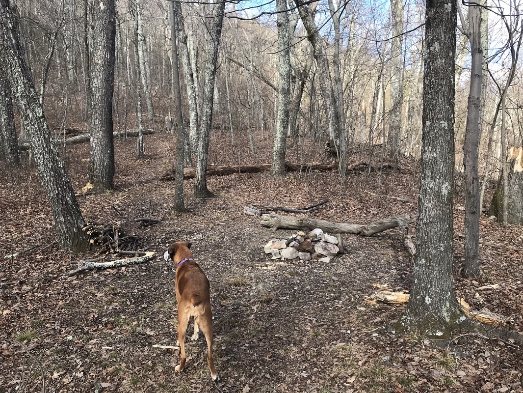
- Mile 7.0 – Reach the intersection with the Belfast Trail, also marked by a trail sign. Behind the sign is a small, dry campsite. Continue on the Gunter Ridge Trail, which is to the right.
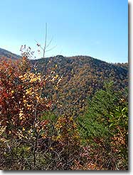
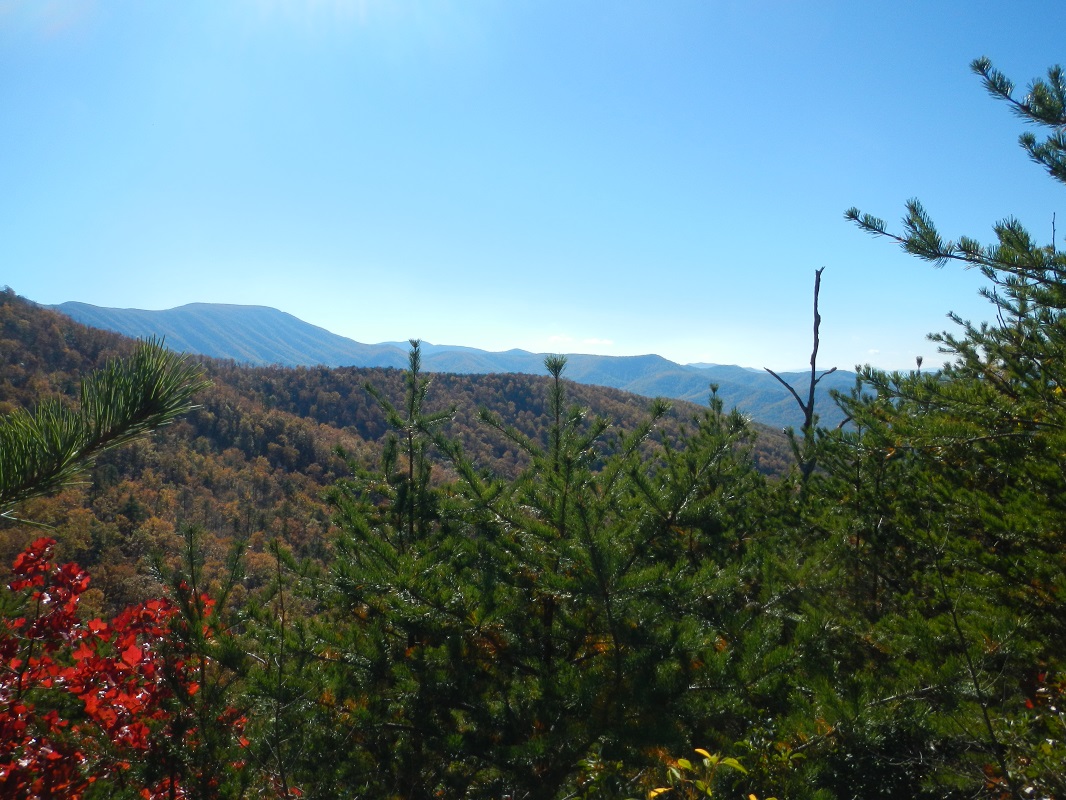
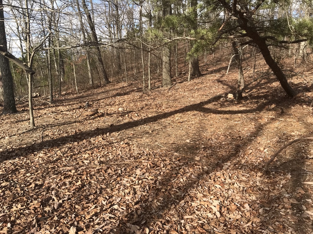
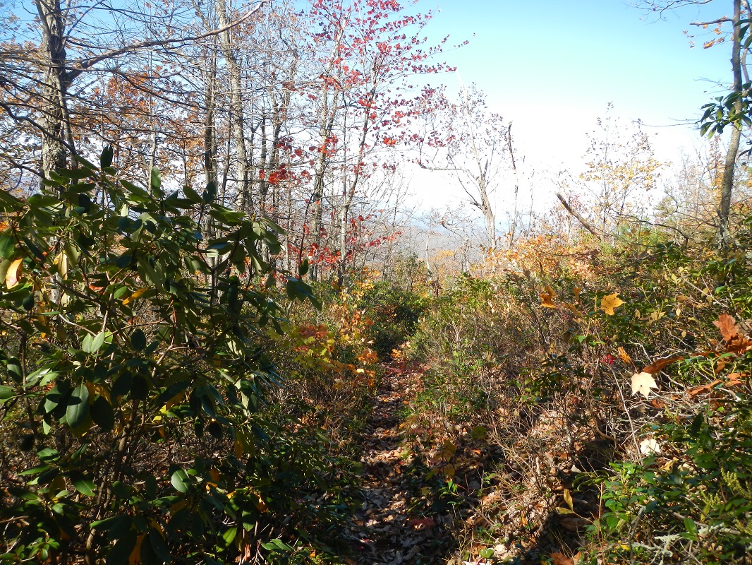
- Mile 7.8 – The trail starts to become dryer and rockier, as it passes through an area that experienced a fire several years back, so the trail is more likely to be overgrown outside of Winter, despite great efforts by volunteers to keep it clear. Views to the south include Thunder Ridge Wilderness, Thunder Hill, and Flat Top Mountain in the Peaks of Otter area. Views to the west include Sugarloaf Mountain.
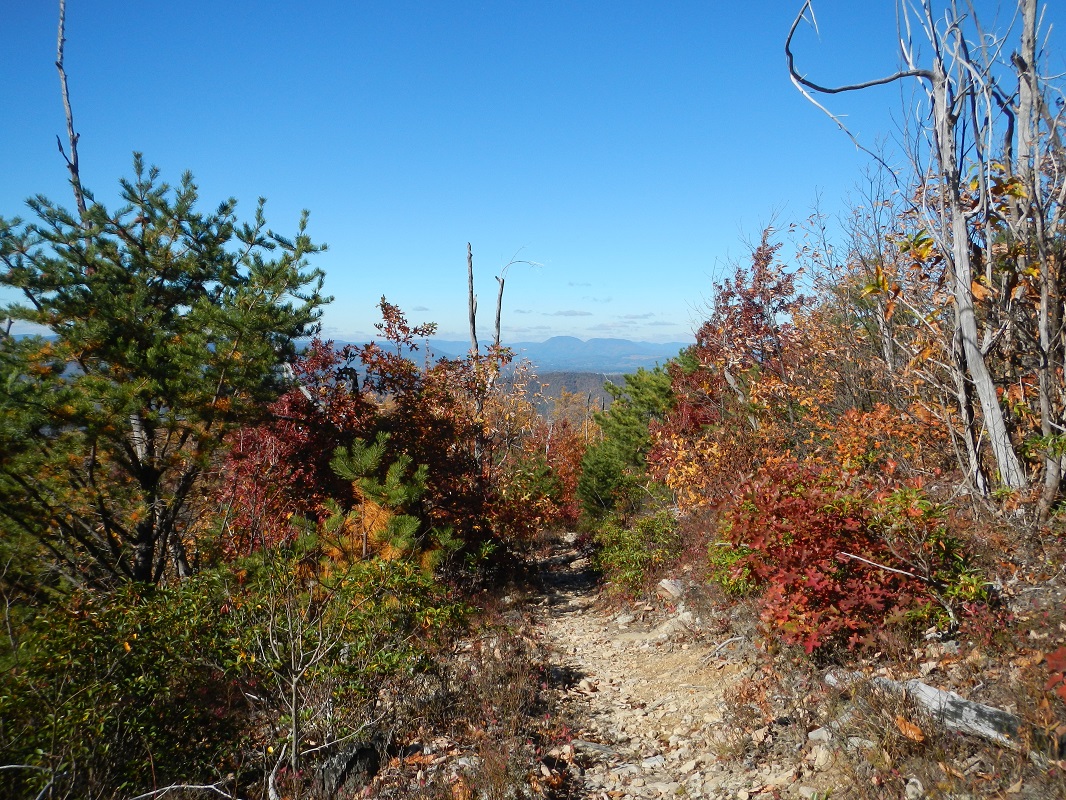
- Mile 8.5 – The Gunter Ridge Trail starts down 17 switchbacks as it descends out of the Federal Wilderness area. At one point, descending on the trail lines up directly with Big House Mountain, west of Lexington. At other times, the trail descends through a relatively new pine grove.
- Mile 10.0 – Exit the Wilderness, passing through a gate and past a wilderness sign. There is a large campsite on the right just after the wilderness boundary. Shortly after the campsite, cross Little Hellgate Creek using rocks in the water.
- Mile 10.3 – The trail merges into an old road (be sure to take the left fork if ascending) shortly before coming to an end at the Glenwood Horse Trail, blazed orange. There is a trail sign here. Take a right on the GHT to return to your vehicle, passing by the back end of an RV park along the way.
- Mile 11.5 – A small sign saying “trailhead” marks the side trail to the parking area. Take a right onto this trail and go about 100 yards to the end of this hike, returning to your vehicle.
|
|
