|
 |
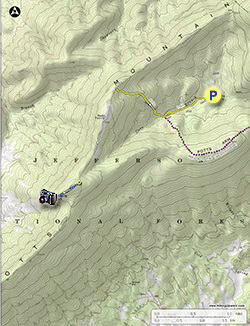
Topo Hike Trails Map |
 |
All Hikes Map |
 |
Click for location shots |
 |
Click for location shots |
 |
Click for location shots |
 |
Click for Parking/Start location |
 |
Hike trail blazed colors |
 |
Other trail |
|
 By Trail Contributor: Jeff Monroe (Email Jeff) By Trail Contributor: Jeff Monroe (Email Jeff)
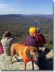
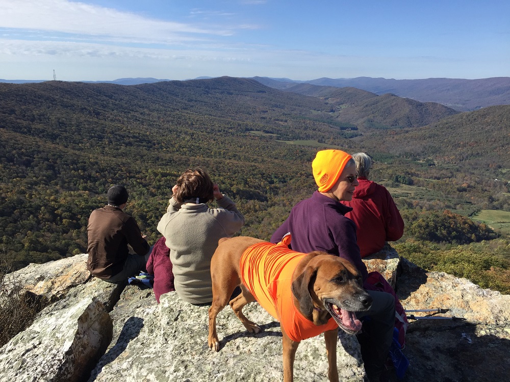
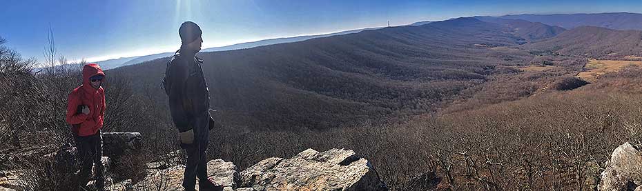
If you have ever hiked to McAfee Knob or Tinker Cliffs, you didn’t do so alone, as these are two of the most popular hikes in the commonwealth. Not far from these overcrowded hikes, however, is another vista that is arguably the equal of either one of the overcrowded destinations but without the crowds. And you can get a McAfee-like selfie, here, too!
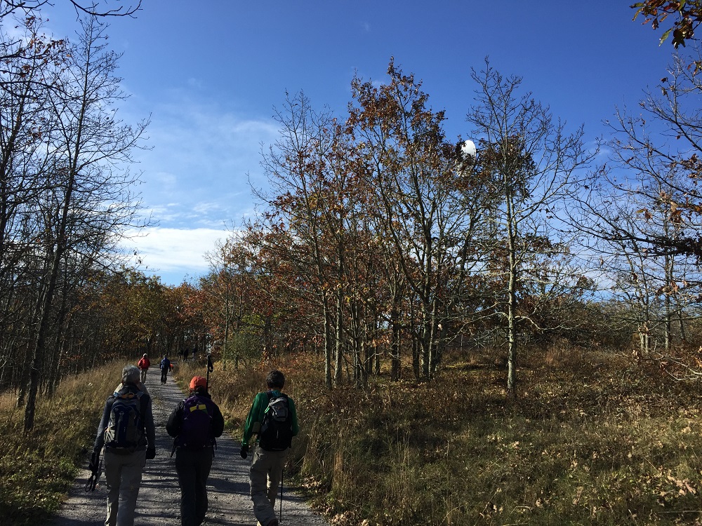
The hardest part of this hike may be reaching the trailhead. There are two trailheads described in this hike guide, and both require several miles of driving over dirt forest service roads that can often be muddy and rutted. You will be much happier if you access the trailhead via a high clearance vehicle; I drove once to one trailhead and nearly left the undercarriage of my Prius on the forest floor.
The two trailheads present very different experiences. The closer trailhead is very close to Hanging Rock, with very little hiking required – it almost does not even qualify as hike because it is so short. The trailhead described here is further away from the vista, but requires an awareness of your location at all times as the trail can be hard to follow. A GPS receiver is highly recommended; a sense of direction is required.
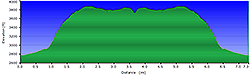
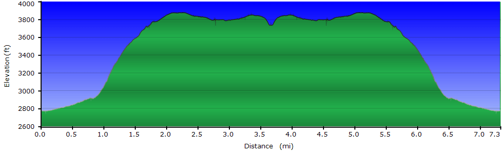
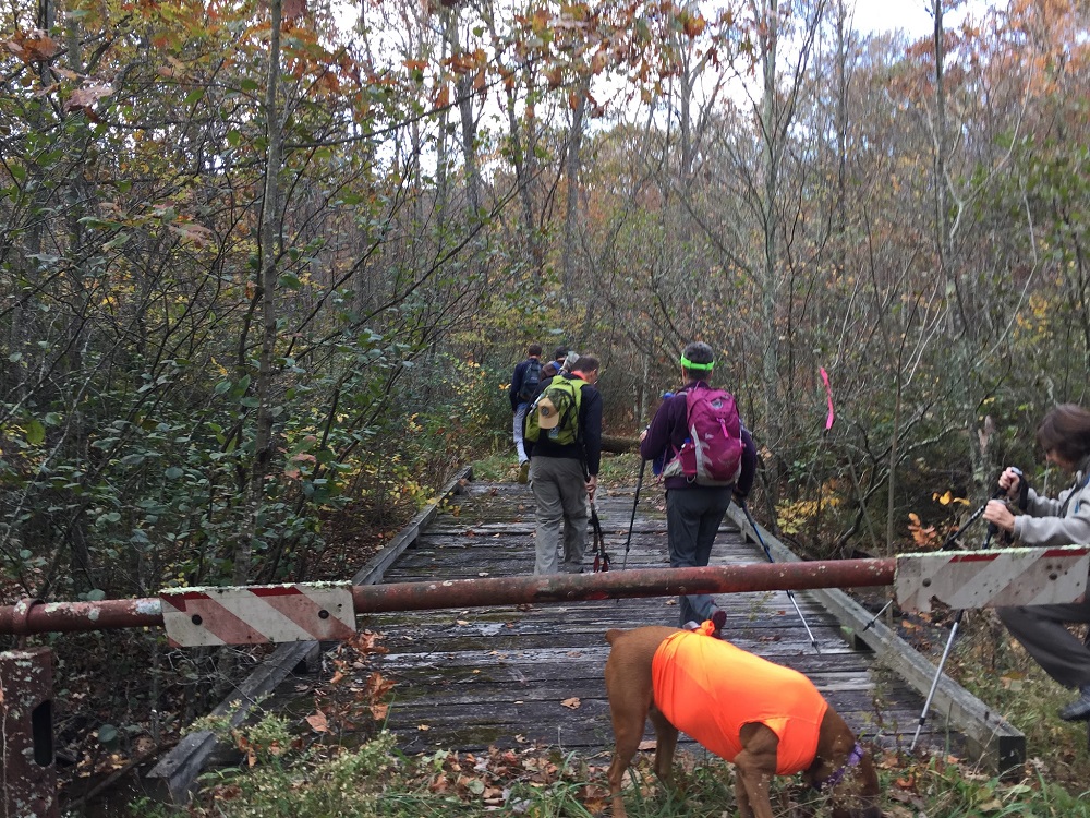
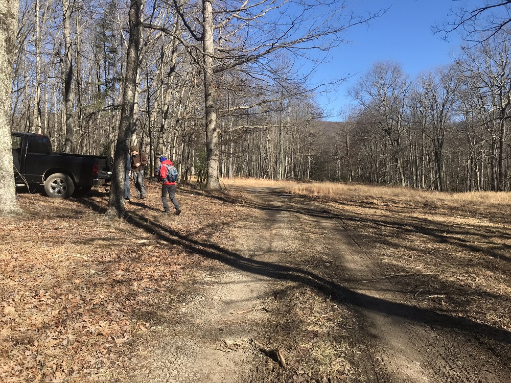
- Mile 0.0 – Start the hike in a large open field at the end of the access road. There is a picnic table to the left and a gated bridge at the back of the open area. The trail goes over the bridge crossing Cove Creek, which is wide and clearly once used for vehicles.
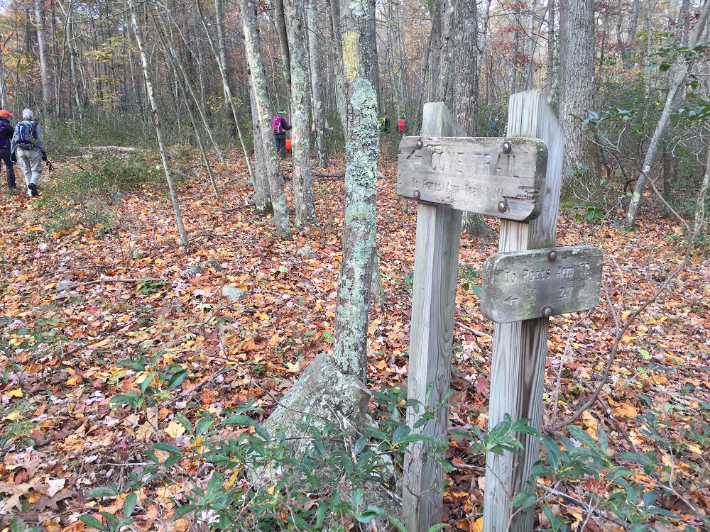
- Mile 0.1 – Shortly after the bridge, pass a trail intersection marked by a large sign. Ironically, the trail this sign marks, the Cove Trail, was decommissioned by the Forest Service and is reportedly in rough shape after flooding a few years back. Keep going straight.
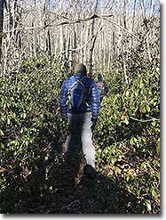
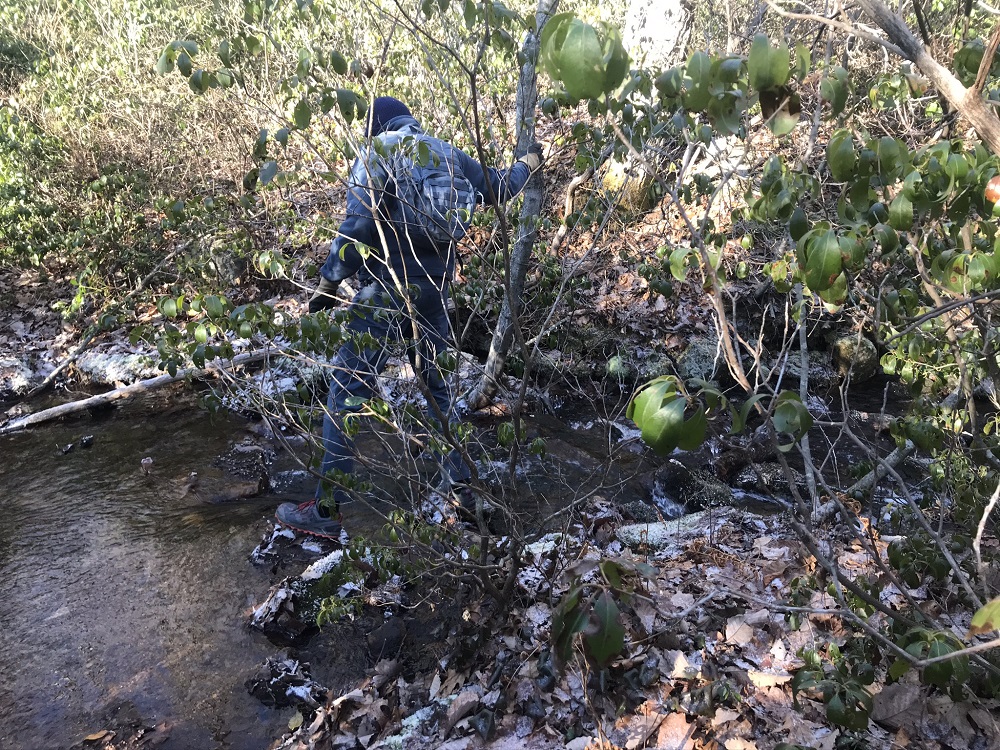
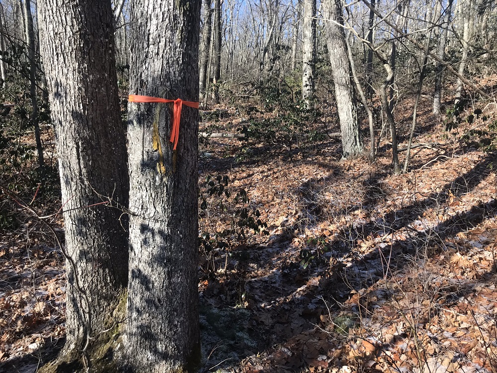
- Mile 0.2 – Nevertheless, the sign is very important to this hike, as less than 100 feet past the sign, you will need to leave the old road. There is no sign here and the turn would not be obvious without knowing this information! To quote the former trail maintainer, “hug the edge of the creek.” Miss this turn and you will follow the road into a swampy area that becomes a dead end. Fork to the right instead, as shown in the photo. This turn may be marked by ribbons (I even saw a Christmas ornament as a marker), but markers used presently are not permanent. Start looking to the right almost immediately after the old trail sign. If you have a GPS receiver, the approximate location of this turnoff is N37° 34.949' W80° 09.689'.
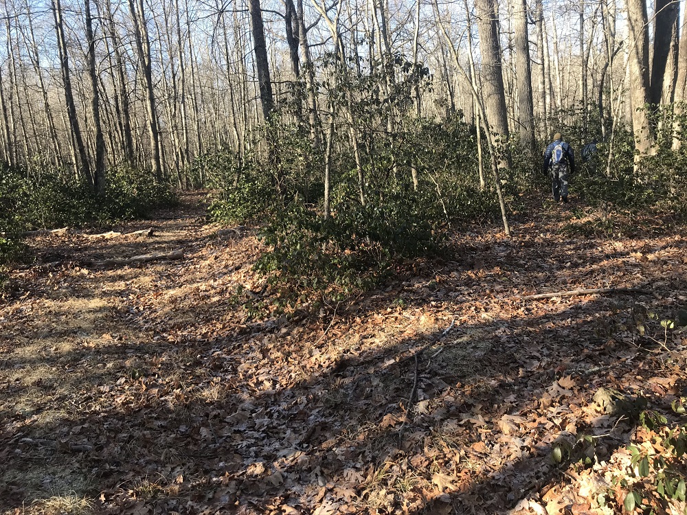
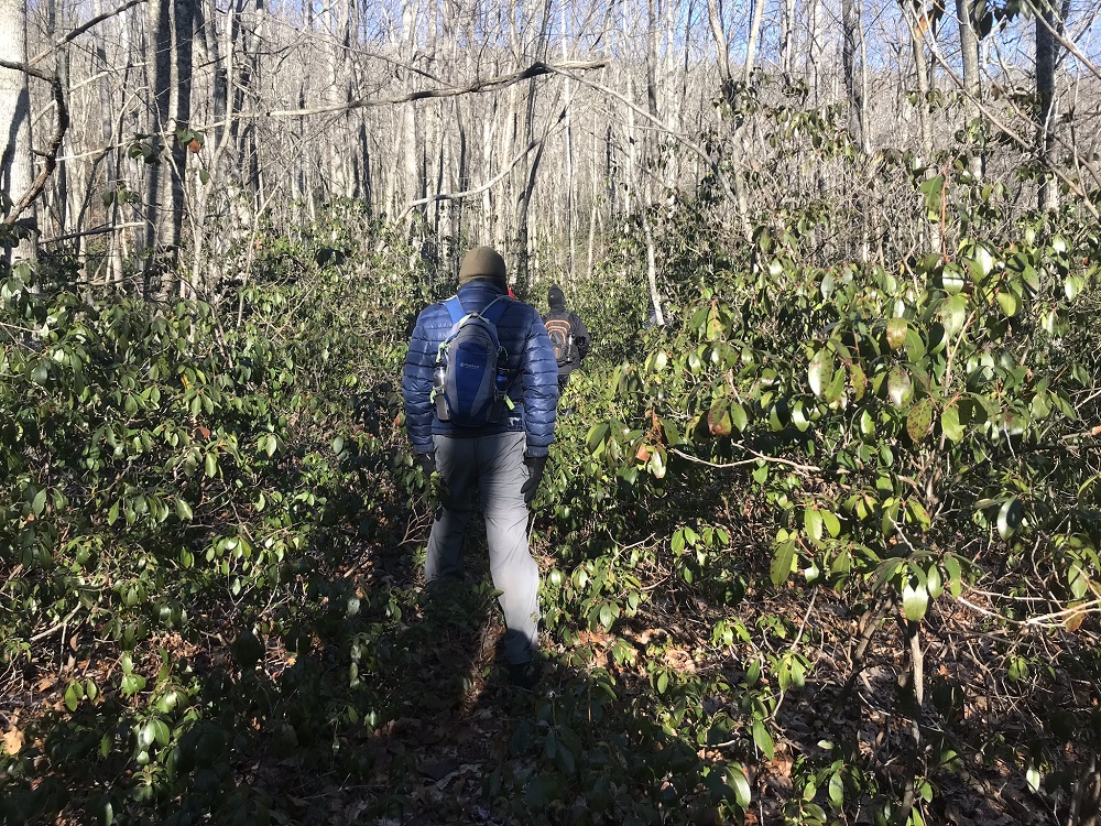
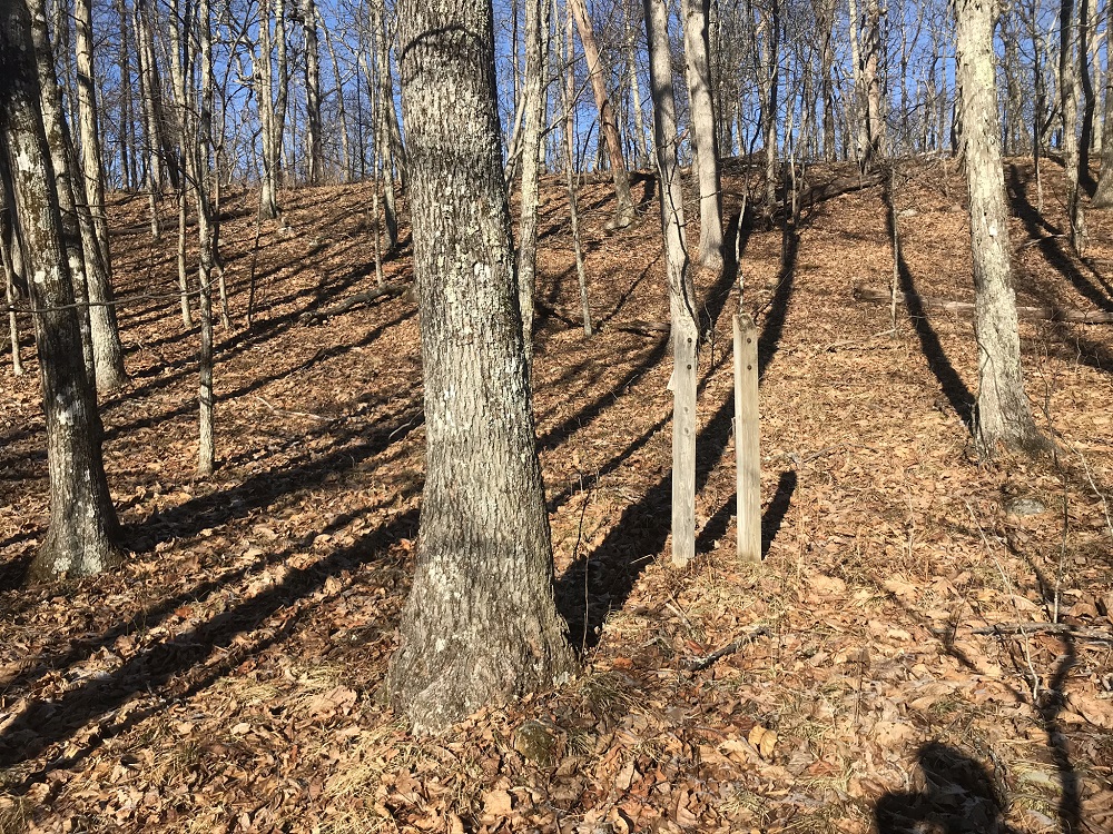
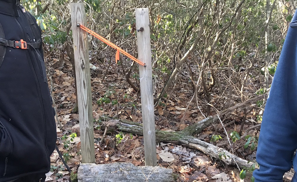
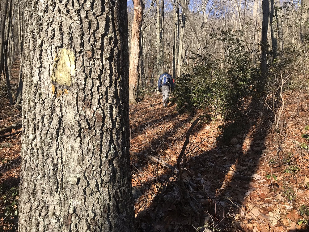
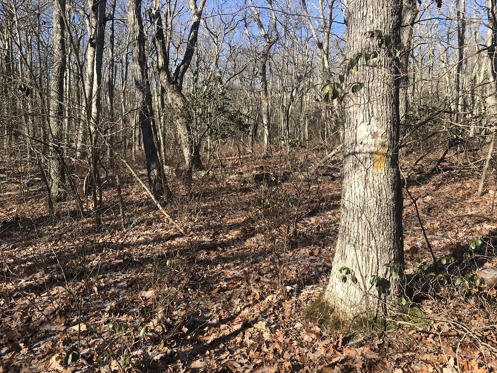
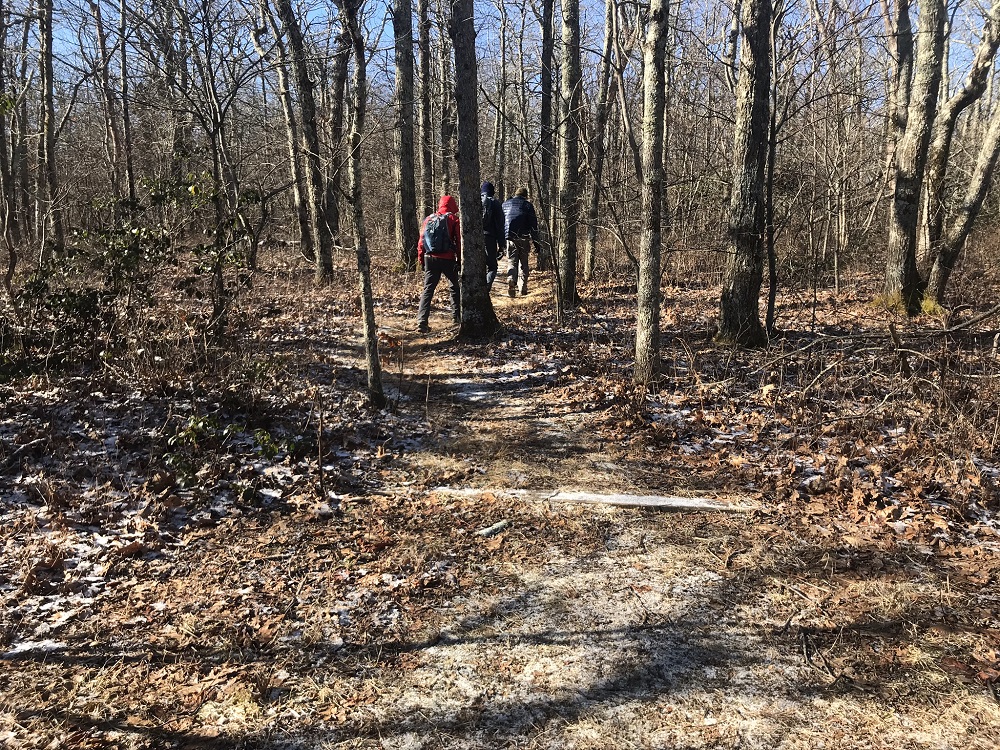
- Mile 0.8 – The trail cuts through bushes and follows Cove Creek (it will be on your right) until you come to a couple of sign posts and a T intersection. Although the photo here shows a sign with the posts, that sign has been taken down to be replaced with a new sign by volunteers, as of this writing. You will want to turn right and cross Cove Creek. (In the other direction, the trail climbs to the decommissioned Potts Arm Trail.) After crossing Cove Creek the trail climbs away from the stream. The trail route is occasionally marked by yellow blazes and occasionally by orange ribbons. For the most part, it is relatively easy to follow the dip made by boots on the trail over the decades, though parts of this trail may be overgrown.
- Mile 1.7 – At approximately the 1.7 mile mark, the trail seems to just disappear. Be sure to note your location where this happens if you have a GPS receiver. (For me, the location was N37° 35.047' W80° 10.970'. If you have a GPS receiver, mark your location.) This is not a problem, because you are only about 350 feet from the road you seek. There are, again, a couple of sign posts without a sign in the woods here, at N37° 35.052' W80° 10.994'. (Jefferson National Forest is really horrible about keeping up their signage! Much worse than the GWNF.) Walk straight uphill and come out on the Potts Mountain Road. Be sure to mark where you come out on the road so that you can know where to leave the road on your return. Set a GPS waypoint, place rocks, ribbons, stuffed animals or a Nalgene bottle at road’s edge here – your choice! Just make sure you know where to leave the road when you return. Take a left on the road.
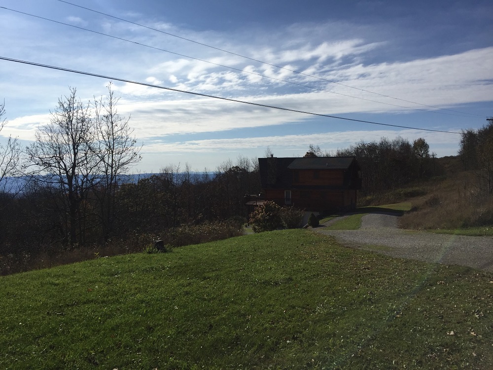
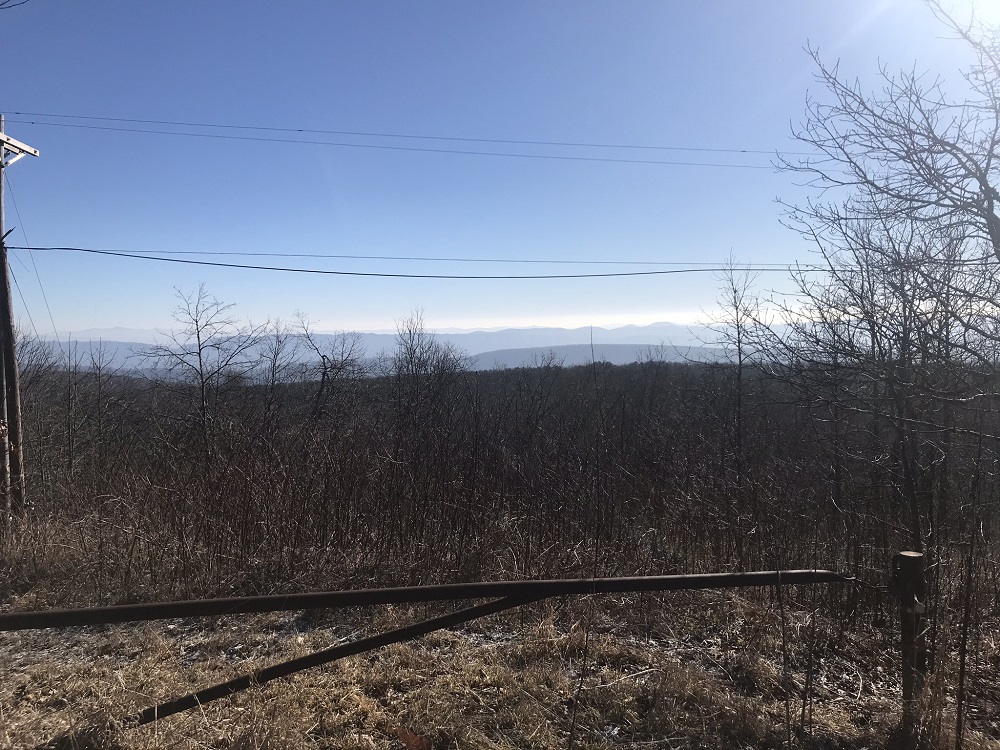
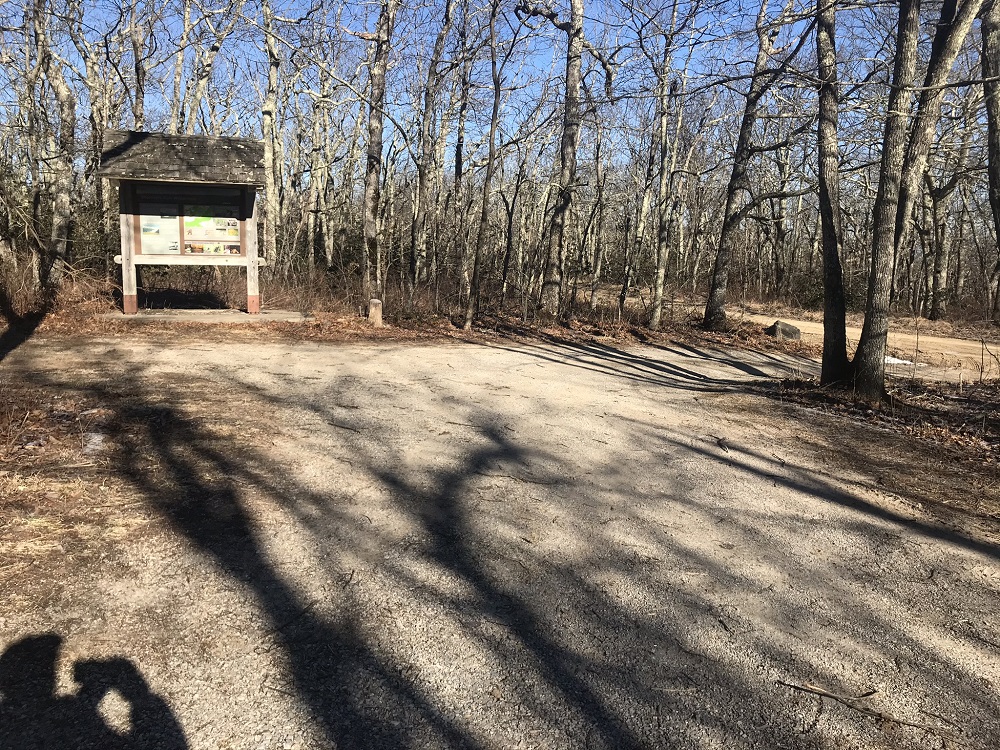
- Mile 3.2 – Pass several private homes on your left as you walk along this forest service road. For over a mile, property on the left side of the road you walk is in private ownership. Despite these signs of civilization, your odds of seeing a vehicle are actually pretty remote. There are also some nice views to the east before you come to a parking lot on your right at the 3.2 mile mark. This is the second trailhead parking, described at the beginning of this writeup. There is room for about 8-10 vehicles in this lot, and a kiosk with a map. Take the trail in the back of this parking lot, which descends to Hanging Rock. You are now entering into Shawver’s Run Wilderness, where bicycles, hang gliders, chain saws, and groups larger than 10 people are prohibited.
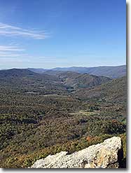
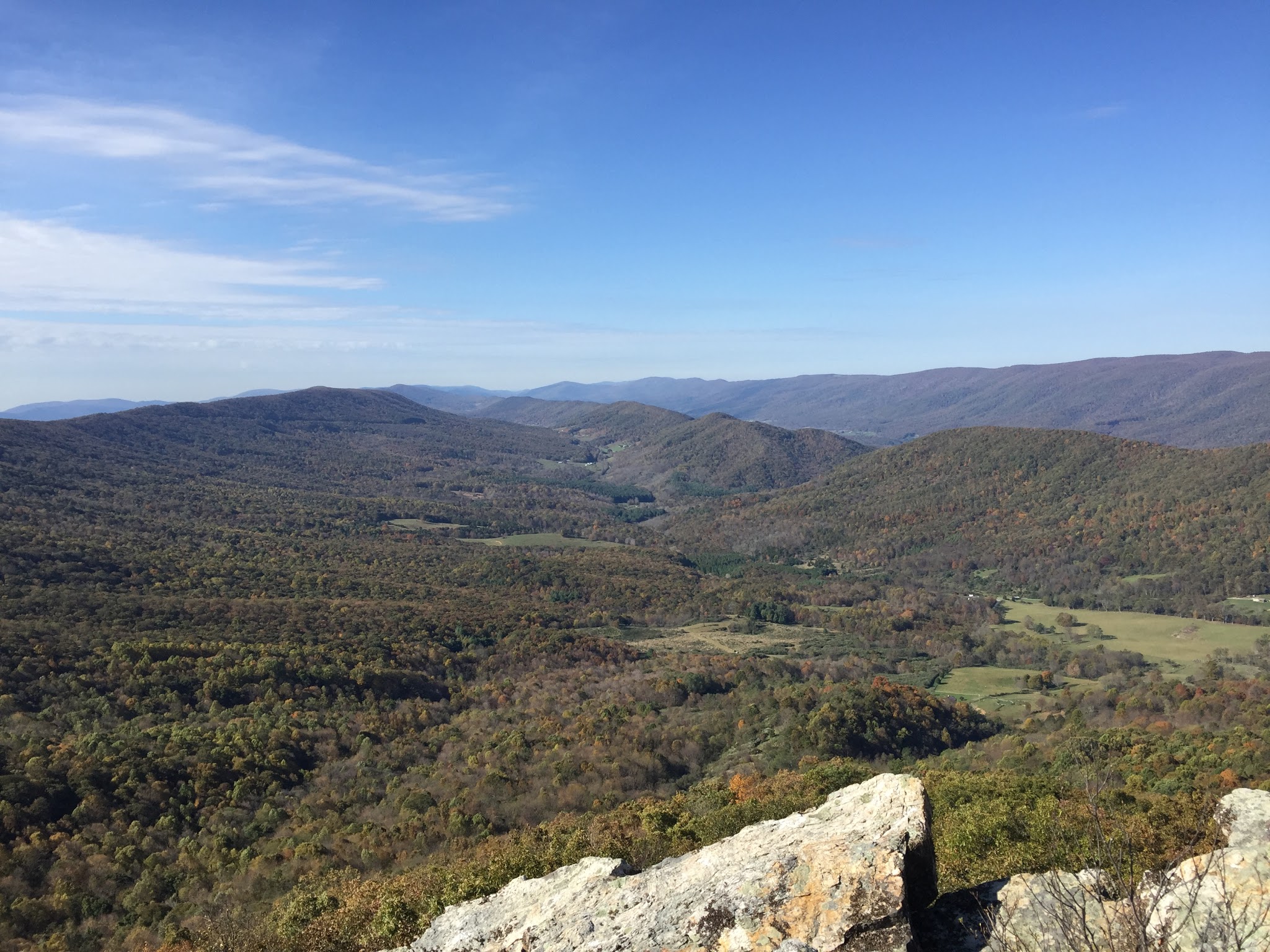
- Mile 3.7 – As you descend, you will start to see some rocks on your left. Keep on the trail, as it ends at Hanging Rock. The view from Hanging Rock is worth the wait! Because Hanging Rock is so exposed, however, be prepared for frequent stiff winds and bring extra layers, just in case.
- Mile 4.2 – After some time breathing in a spectacular view, return to the parking lot at the edge of the wilderness, and be sure to turn left on the road, so you can return to your starting point.
- Mile 4.7 – Leave the road at the point where you marked, look for the twin sign posts and for the end of the trail you came in on.
- Mile 6.5 – Cross Cove Creek and come to the trail intersection you passed on the way out. Take a left here, hiking through bushes to the old road. Continue on the road towards the bridge crossing Cove Creek.
- Mile 7.3 – Reach the trailhead and your vehicle.
|


