|
| Length |
Difficulty |
Streams |
Views |
Solitude |
Camping |
| 9.4 mls |
 |
 |
|
 |
|
Hiking
Time:
Elev. Gain:
Links:
Resources: |
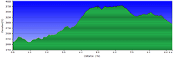
5 hours with a stop for lunch at the overlook
2,220 ft
 Jefferson National Forest Jefferson National Forest
Topo Hike Trails Map (PDF)
Huffman, VA Weather Forecast
Garmin (GDB), Gaia/Trails App (GPX) (What's
this?)
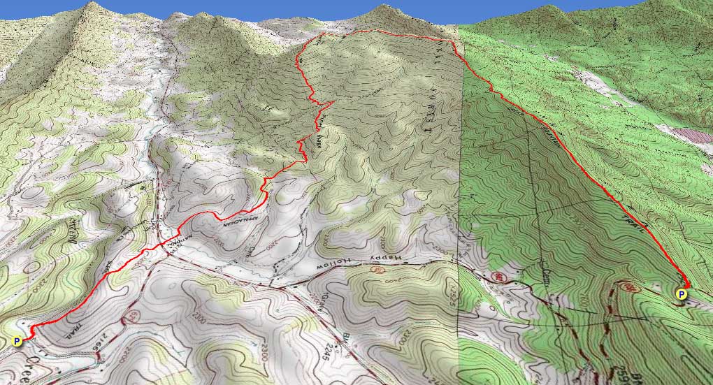
3D
View of Route |
 By Trail Contributor: Jeff Monroe (Email Jeff) By Trail Contributor: Jeff Monroe (Email Jeff)
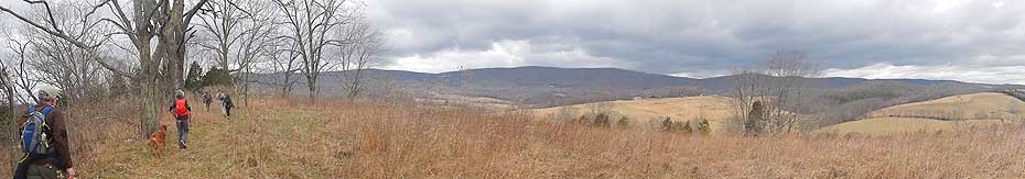
This is a car shuttle hike with one highlight – the views from Kelly Knob towards Johns Creek Mountain – approaching via the Appalachian Trail and exiting on the Johns Creek Mountain Trail. This hike alternately can be done as an out-and-back from either of the two endpoint parking spots described here. The A.T. route is longer (5.0 vs. 4.35 miles) and involves more elevation gain (2189 vs. 1306 feet), but it is more scenic, particularly at the start. The trailhead for Johns Creek Mountain Trail is smaller and that trail is not as well cared for. Either way, the views from Kelly Knob is worth the effort getting there!
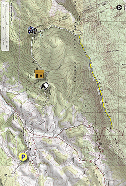
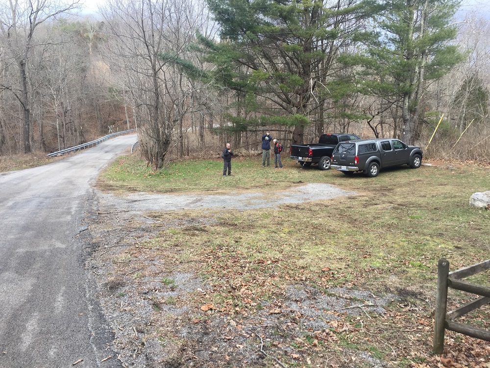
This description starts at a parking area a little off of Virginia Route 42 that can accommodate 8 to 10 vehicles. Even though this adds about a mile to the hike compared with the Route 42 crossing, there is little or no parking on Route 42. Additionally, the views looking north from this section of the trail heading toward Rt. 42 are beautiful.
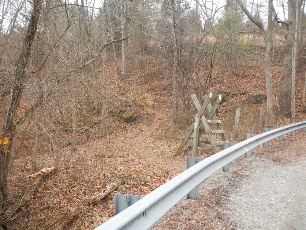
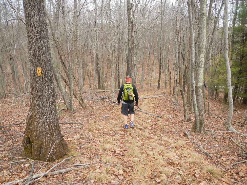
- Mile 0.0 – Parking for this hike is located just south of where Route 630 crosses Sinking Creek. Start the hike by crossing Sinking Creek on the road, and then taking a left onto the trail on the other side of the stream. There is a wooden style here, but it is not needed to access the trail.
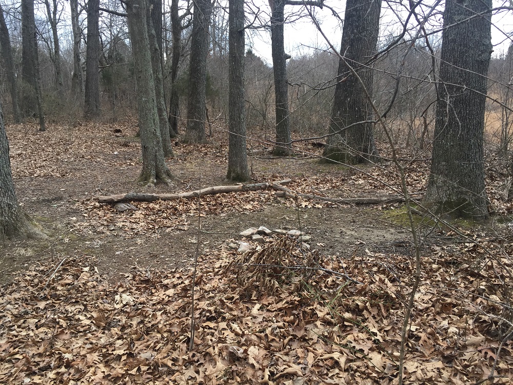
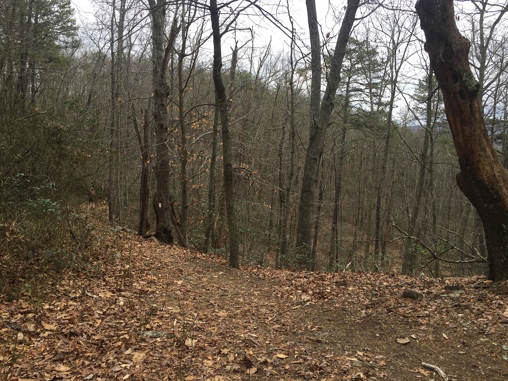
- Mile 0.5 – Pass a small, primitive campsite, then descend towards Route 42 with views toward Johns Creek Mountain.
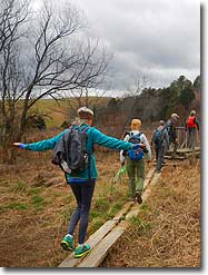
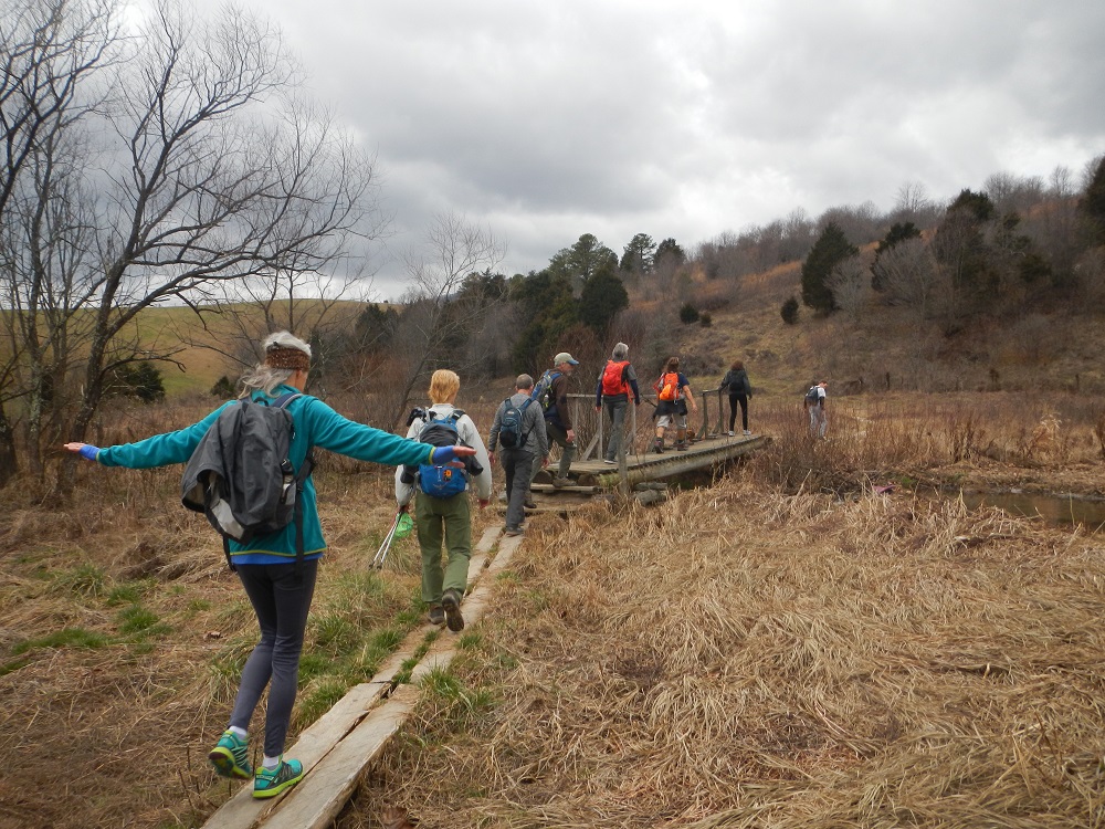
- Mile 0.9 – Shortly after crossing Route 42, enter a swampy area. There are boards placed to keep you out of the mud and a bridge over a tributary of Sinking Creek.
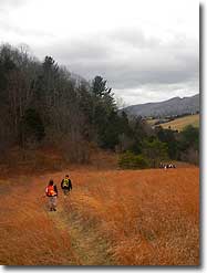
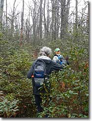
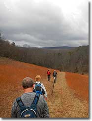
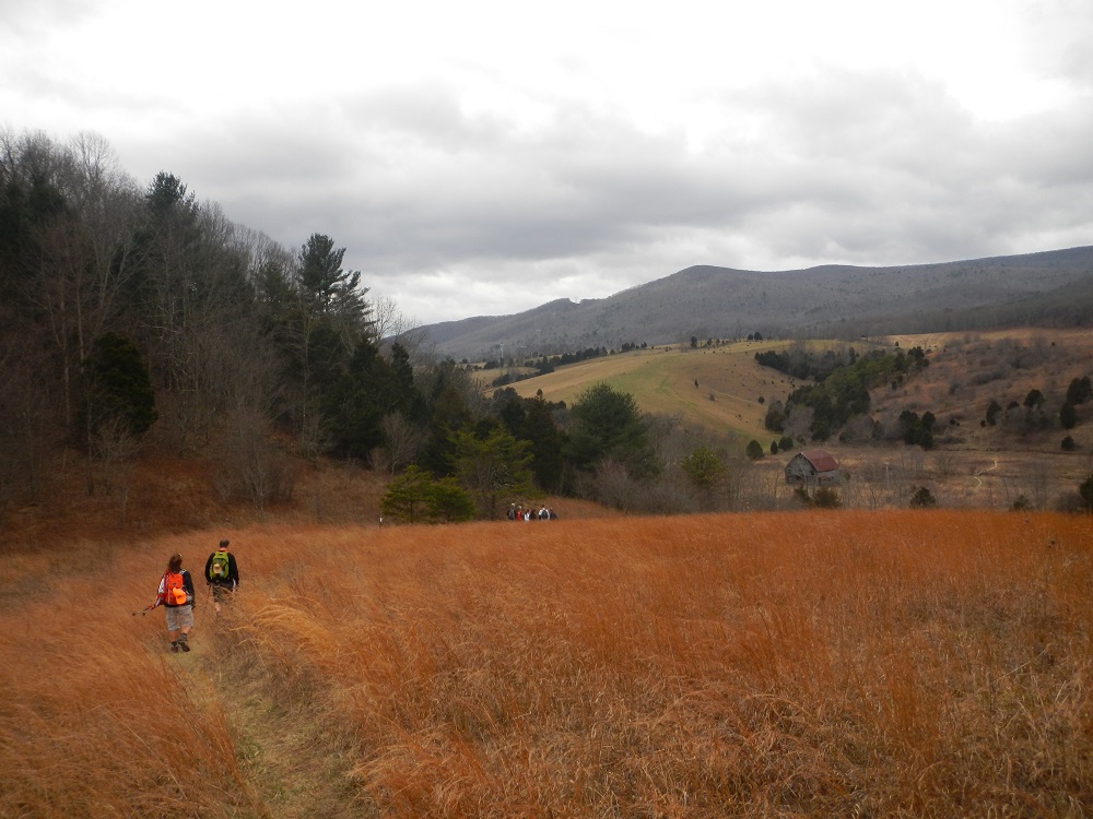
- Mile 1.5 – Pass through a style and walk through open meadows, where the A.T.’s white blazes are placed on posts in the field.
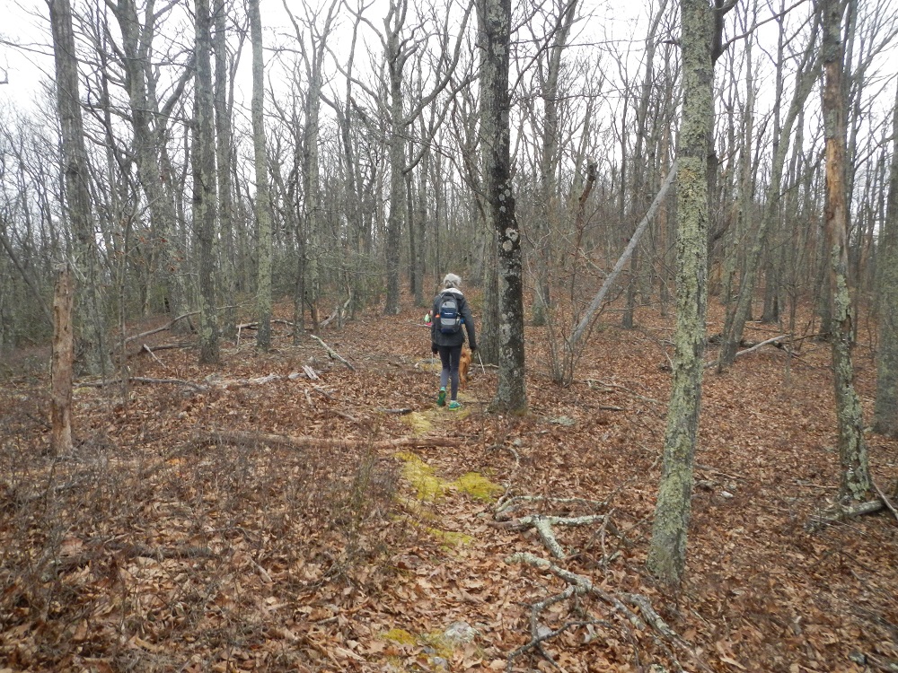
- Mile 2.8 – After climbing for some time, level out briefly at a spot called Piney Ridge. Note that the A.T. goes to the left here. To the right is an area with multiple primitive campsites.
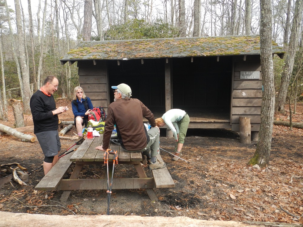
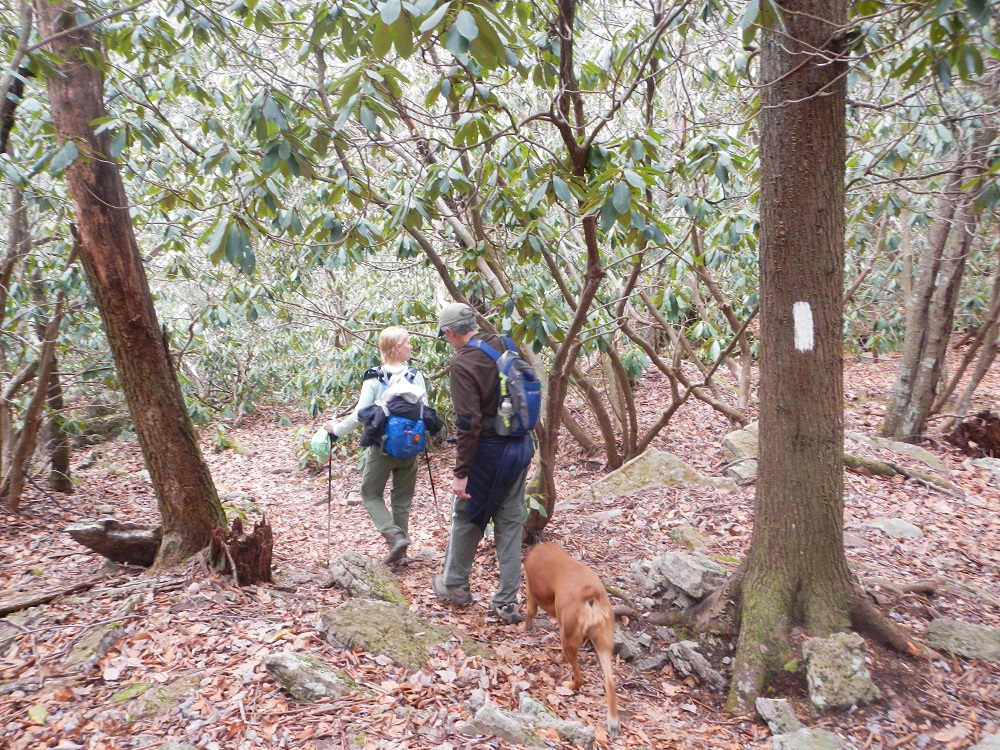
- Mile 3.5 – After entering into a grove of Mountain Laurel and losing some elevation, the A.T. twice crosses branches of Laurel Creek (your last water source on this hike) and then meets the side trail to the Laurel Creek Shelter. There is a privy and possible campsites at the shelter site. This shelter was moved here from further up the mountain (where it was called the “Big Pond Shelter”) in 1988.
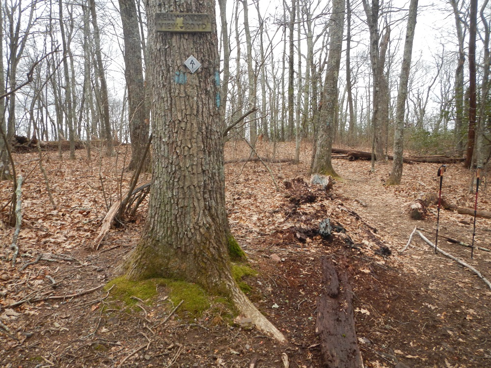
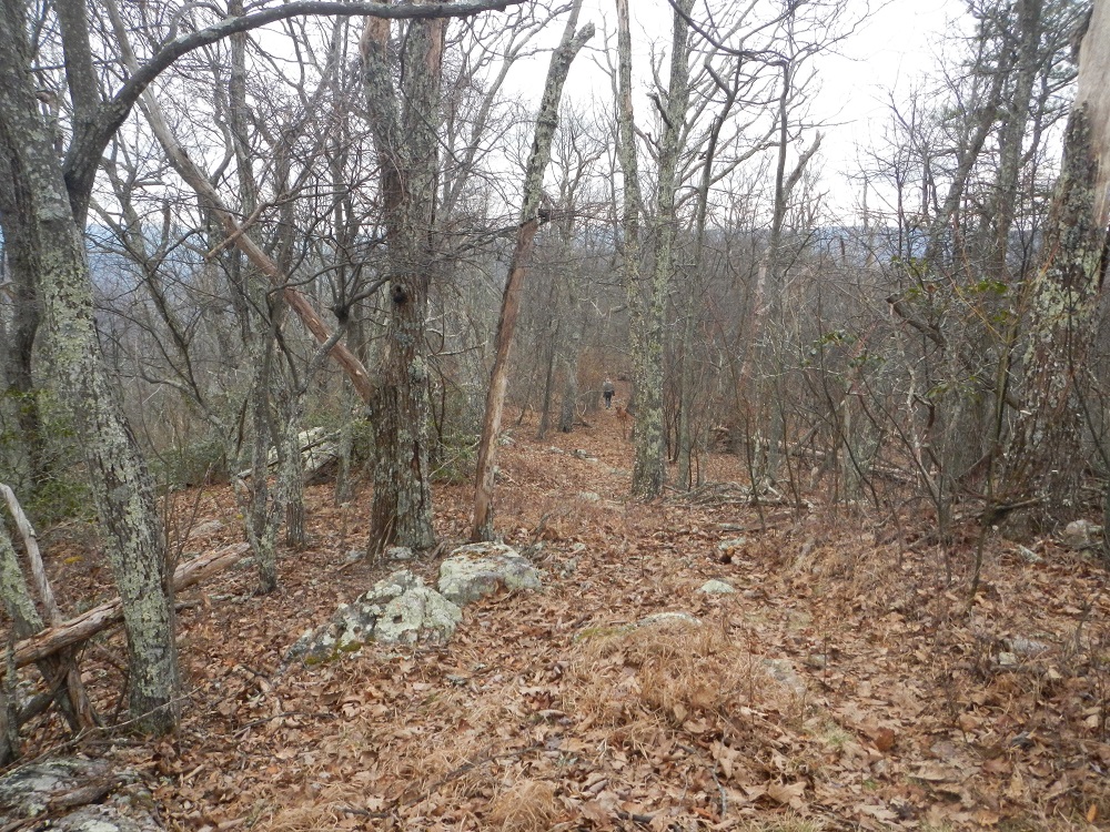
- Mile 4.8 – After the Laurel Creek Shelter, the Appalachian Trail climbs aggressively up Johns Creek Mountain, climbing for nearly a mile at a 17% grade. Just as it levels off, look for a sign fairly high on a tree to the left directing you via a short, blue blazed side trail to Kelly Knob.
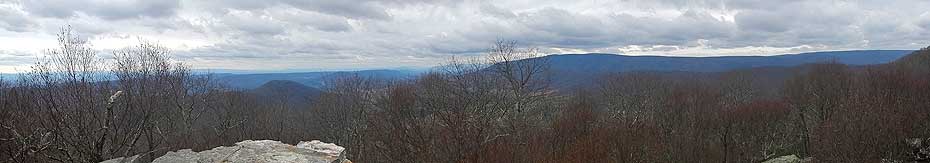
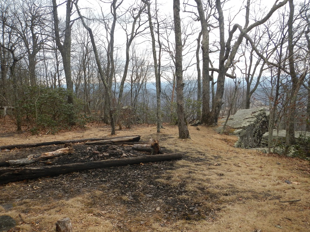
- Mile 4.9 – On the way to Kelly Knob, pass another primitive campsite. There is no water near this site. Kelly Knob is a rocky outcrop with wonderful views southwest towards Johns Creek Mountain.
After enjoying the views from Kelly Knob, follow the side trail back to the Appalachian Trail. If this is an out-and-back hike, you will retrace your steps by turning right here and heading back to your vehicle at Route 630. If this is a shuttle hike, turn left, and continue towards the Johns Creek Mountain Trail.
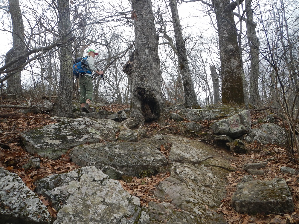
- Mile 6.1 – Ascend steeply for a short distance through some rocks.
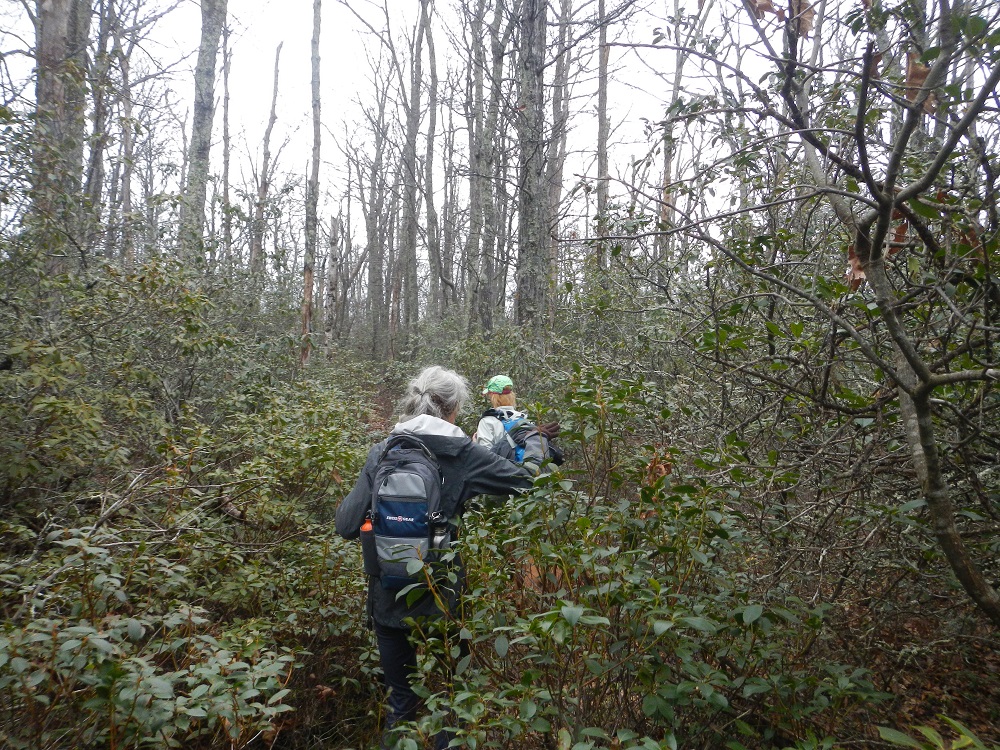
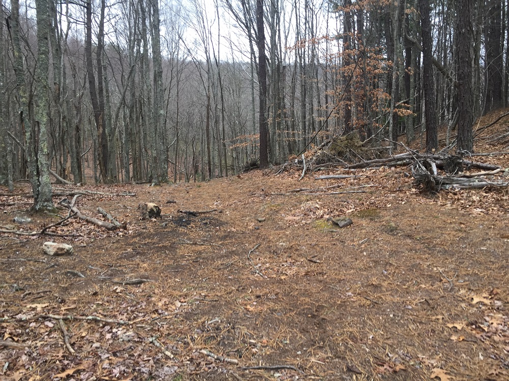
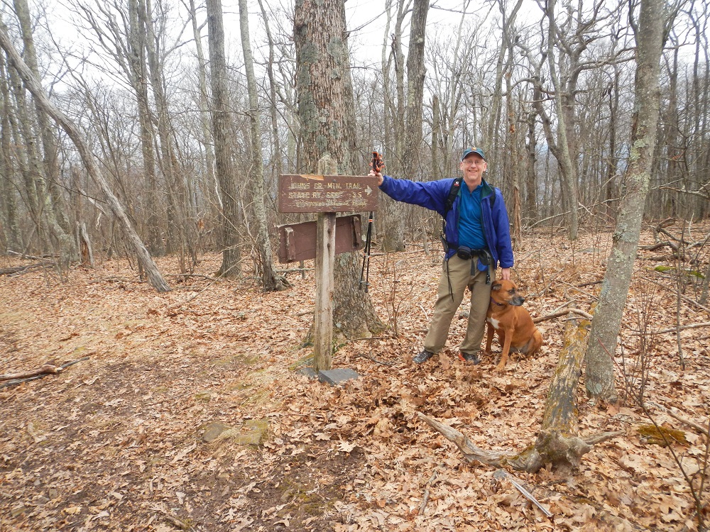
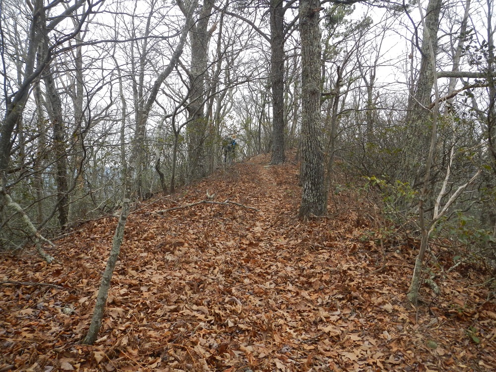
- Mile 6.4 – The intersection with the Johns Creek Mountain Trail is marked by a sign and located at the high point of this hike. Take a right onto the Johns Creek Mountain Trail, which is yellow blazed. It is not as well marked or maintained as the Appalachian Trail, but it follows a ridge line all the way to the parking area. There may be a time or two when you have to go a little off trail to avoid a downed tree, but always head back to the center of the ridge. And it may seem a little overgrown in brief sections, but overall it is easy to follow.
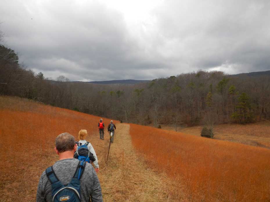
- Mile 7.3 – Shortly after passing the best campsite on this trail, cross a Forest Service road. The Johns Creek Mountain Trail generally trends downhill, but there are a few uphill sections. There are some winter views along the way, especially towards the end of the hike.
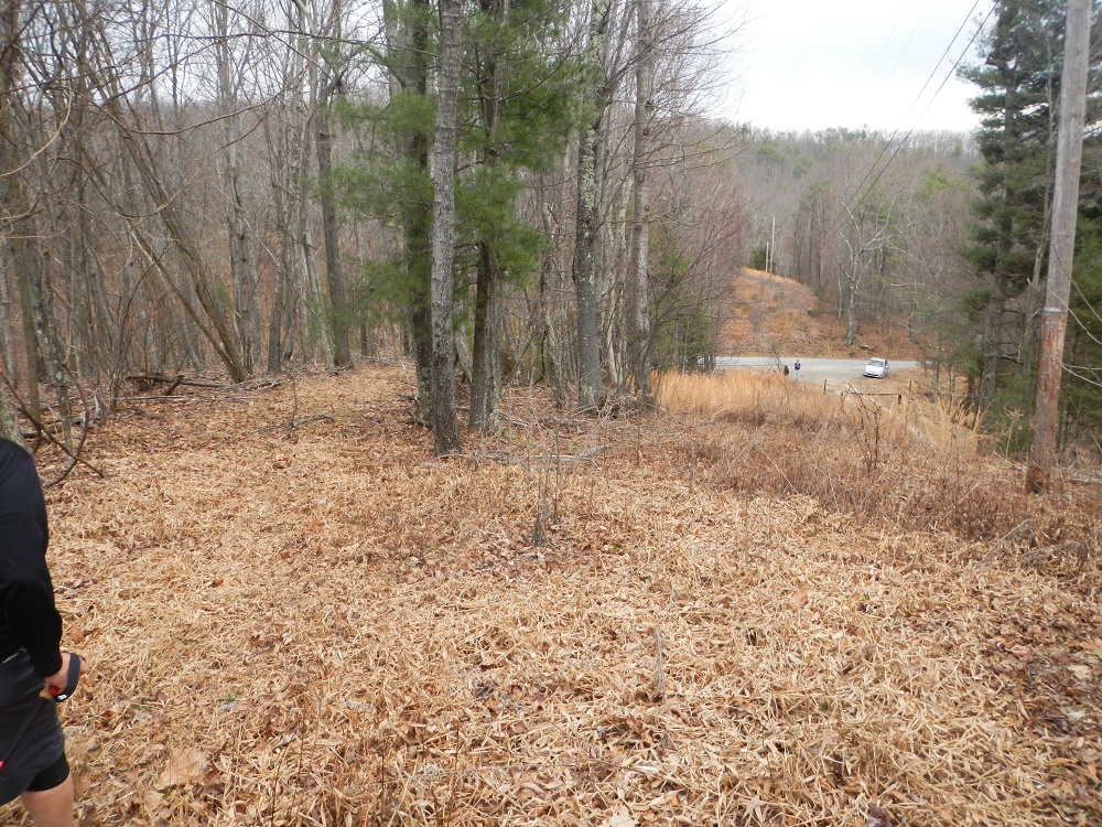
- Mile 8.9 – Cross the Forest Service road a second time. This road, if walked in the same direction as the trail, would bring you out to the parking area.
- Mile 9.4 – Reach the parking area, after viewing it from the trail because there is a power line that crosses Rt. 658 (Johns Creek Mountain Road) at the same place. This area can hold 4 or 5 vehicles, but be careful not to block the gate.
|


