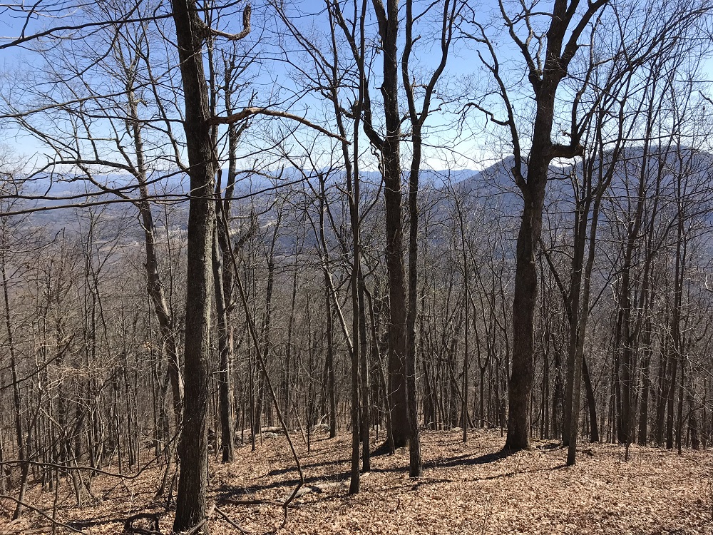
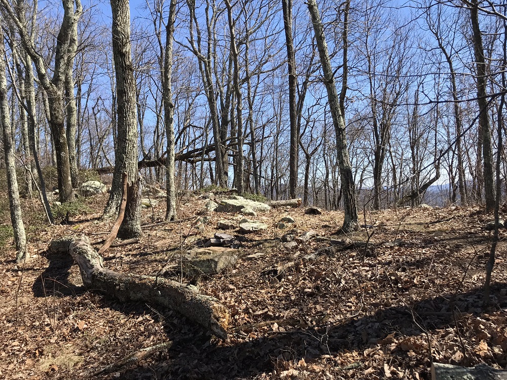
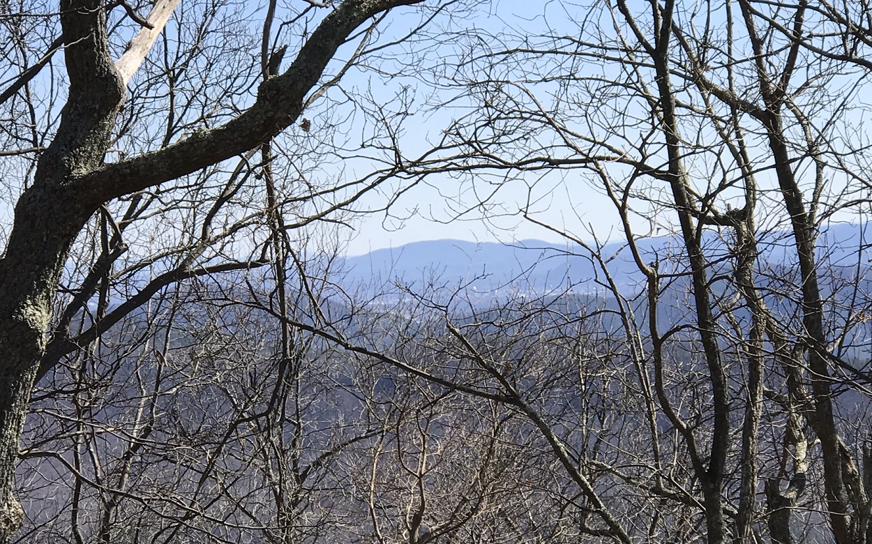
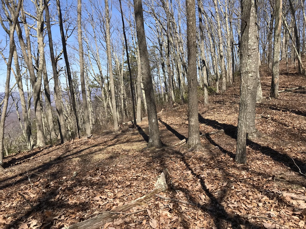
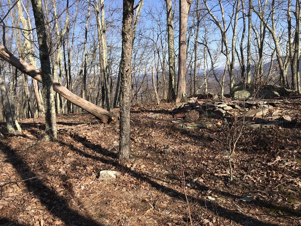
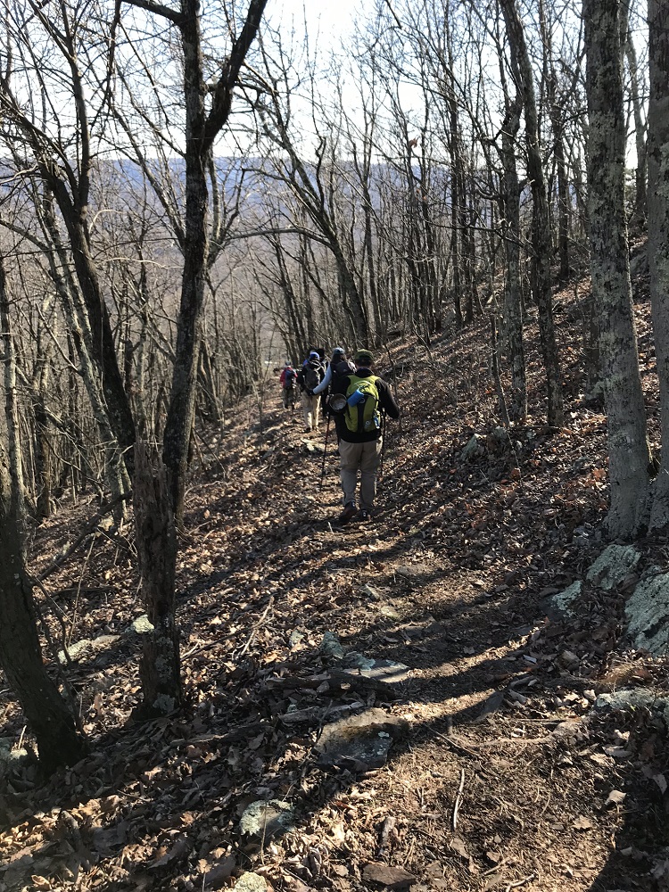
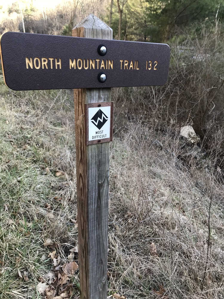
The North Mountain Trail was once an alignment of the Appalachian Trail, back when landowners did not give permission for the trail to approach McAfee Knob and before the National Park Service purchased land for the present route. The North Mountain Trail remains in use today, close to three of the top hiking destinations in Virginia (McAfee Knob, Dragon’s Tooth, and Tinker Cliffs) and allows a backpacker to connect all three in a loop of about 37 miles. The North Mountain Trail has nothing of note along its distance when compared to its nearby superstar destinations with few if any summer views, and there is usually no water to be found along its length. However, it does offer solitude and multiple campsites. And if you are backpacking the entire Triple Crown, this trail completes your loop.
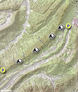
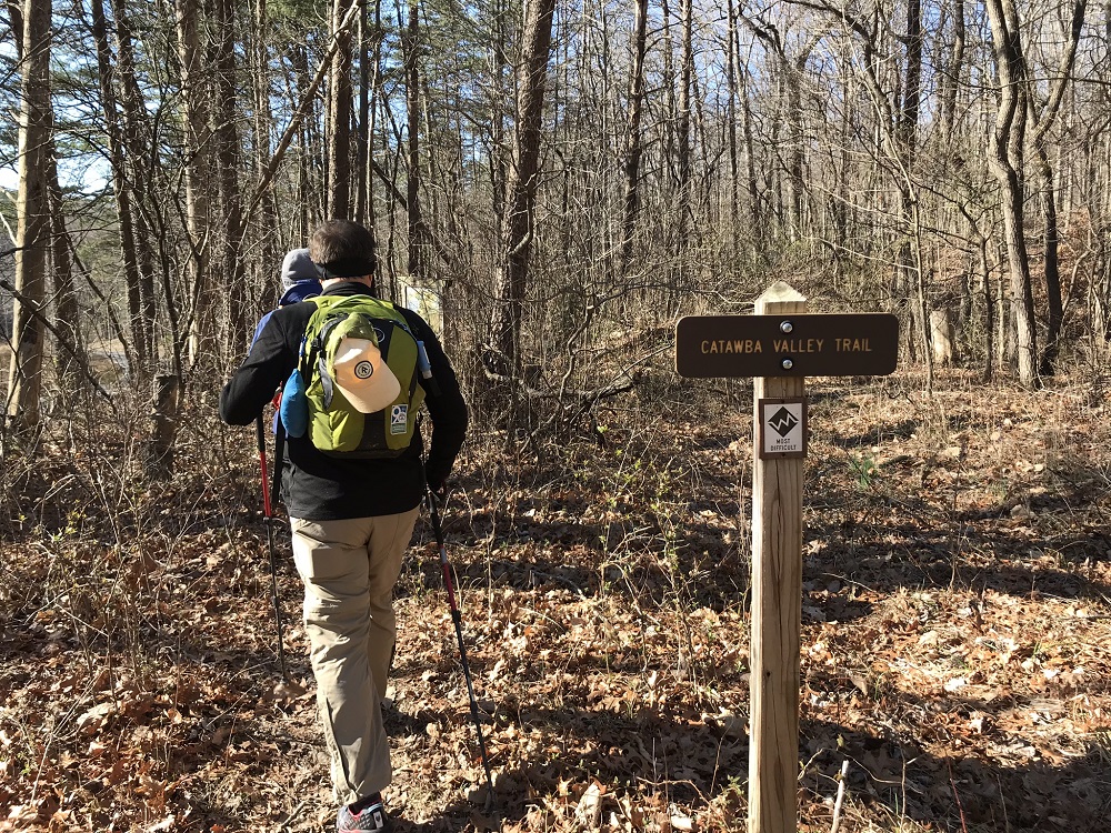
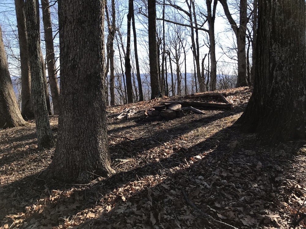
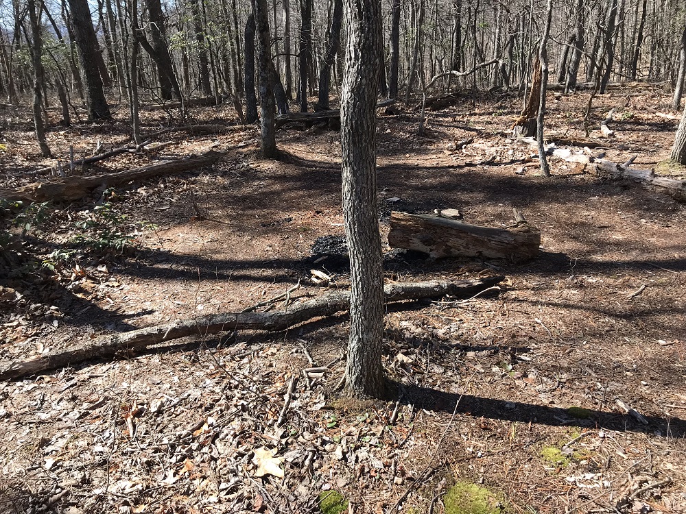
Mile 0.5 – The Catawba Valley Trail crosses a stream bed with seasonal water. Shortly after is a flat spot that has clearly been used as a campsite, on the left.
Mile 1.0 – Cross a seasonal stream. This is your last water source for the entire hike. Stock up if you did not bring enough!
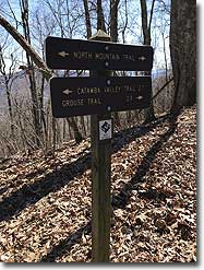
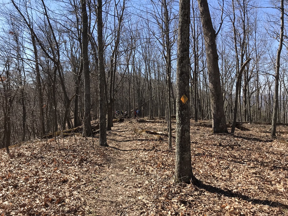
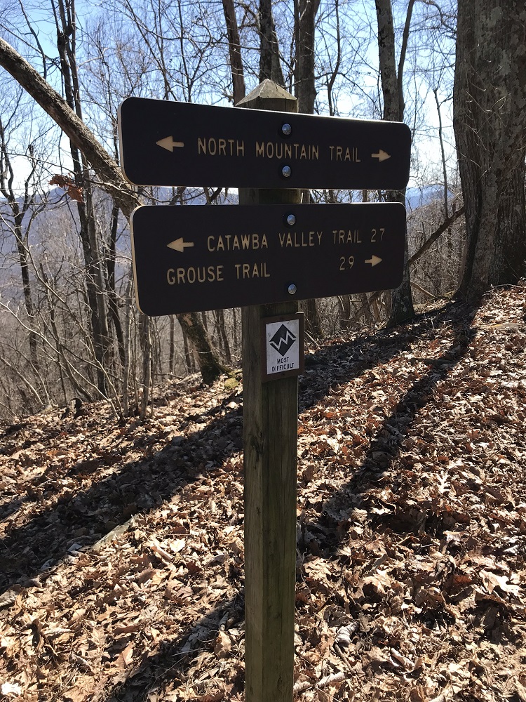
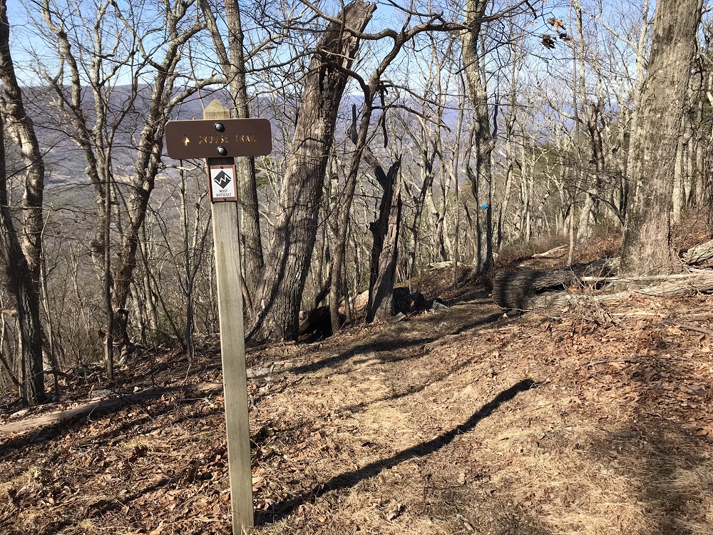
Mile 2.3 – The Catawba Valley Trail ends at the North Mountain Trail. Take a left here, towards the Turkey Trail. Follow the North Mountain ridgeline for the rest of this hike.
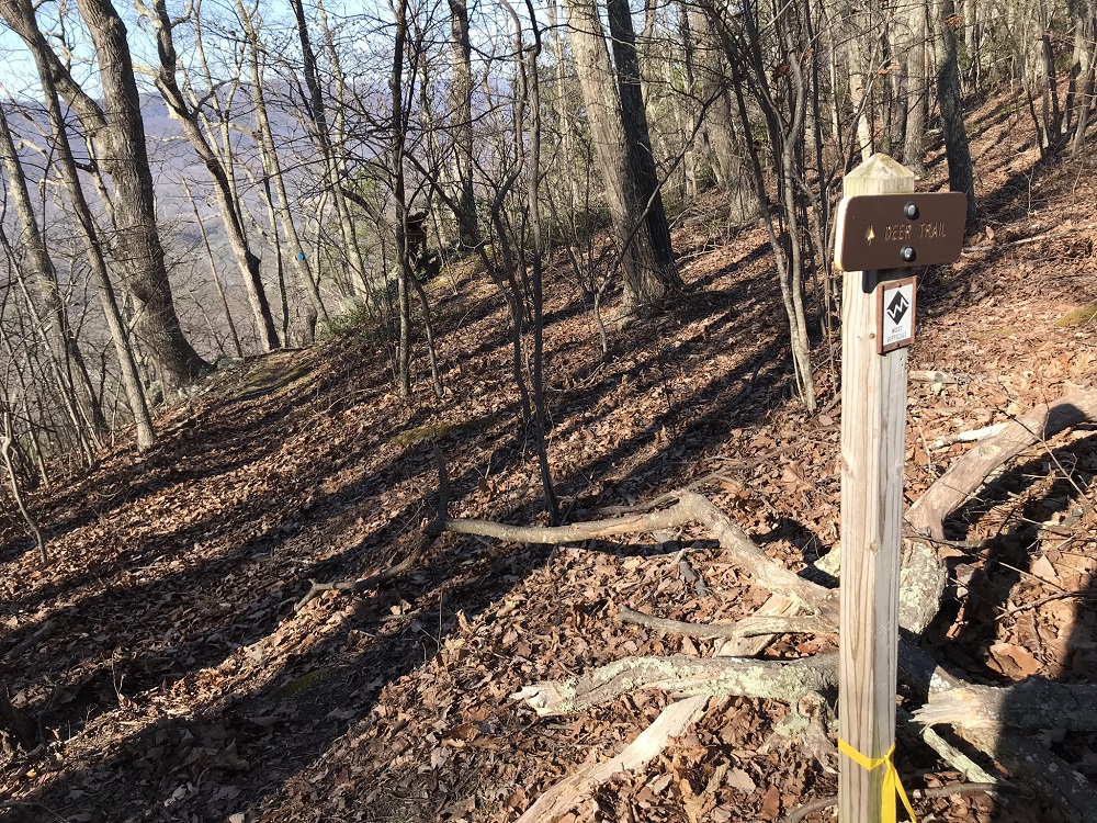
Mile 5.1 – The route drops into a small wind gap where the Turkey Trail comes up from the right and ends at the North Mountain Trail at a point marked by Forest Service signs. Continue straight on the North Mountain Trail
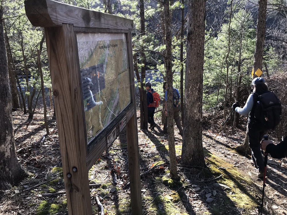
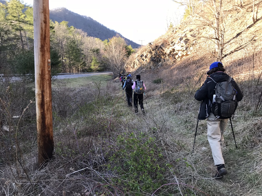
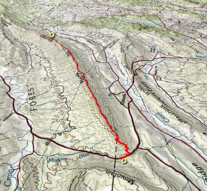
Mile 11.8 – The trail switchbacks next to a signpost containing a map before coming out at Virginia State Route 311. There is a sign marking the trail for hikers starting from the south. Walk along the side of Route 311 for a short distance in the same direction as the trail took you, before crossing the road with care and entering the Dragon’s Tooth Parking Lot.
Mile 12.2 – Return to your vehicle in the parking lot. There are privies next to this parking lot, and it is likely crowded with vehicles that brought folks to hike Dragon’s Tooth.
Early March
North Mountain Trail Hike Comments
Archived Comments
By:DC Turtle
Rating:
Date of Hike: Monday, April 29, 2019
We hiked it probably the last week of really good views, as trees are leafing out. Most of the trail is in excellent condition, and it was easier than we expected. Even with 2 stops for snacks and many stops for photos, we completed it in just under 7 hours - exactly what was estimated. We are two women in 69-71 age range, so there! We were not hurrying at all.
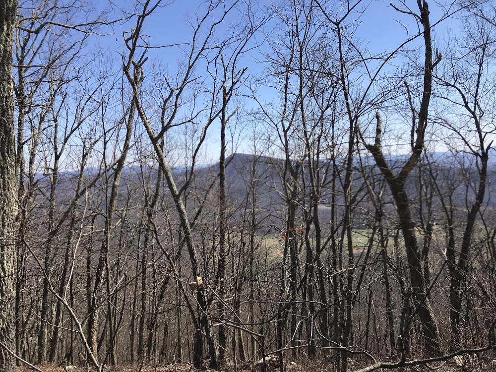
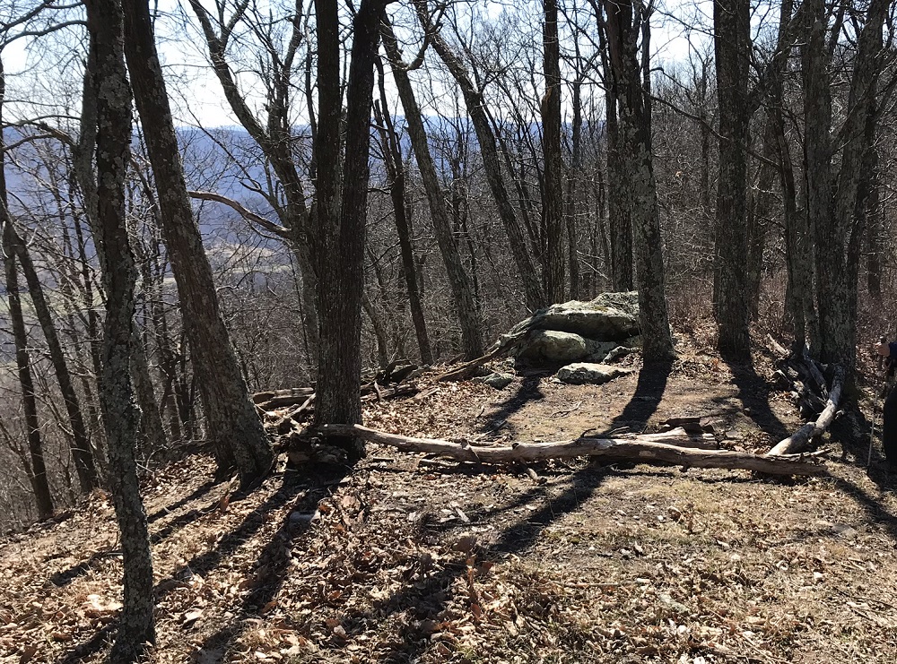
We hiked southbound. The hike up Catawba Trail generally follows the stream. Beautiful, with good footbed, easy stream crossings and moderate uphill sections. Most of the trail on top was also very good footbed. Outstanding views of Tinker Cliffs and (especially) McAfee Knob as well as mountains to the west. Many excellent campsites.
Only met 3 people - a pair of backpackers from Washington, DC with somewhat unfriendly dog and a mountain biker. These are the most regular users of North Mountain, which is famous as the Dragon's Back among mountain bikers. The trail is also open to horses, though not ideal. BETTER TO HIKE ON A WEEKDAY - we were there on a Monday.
The last 2 miles or so near Dragon's Tooth were quite rocky, and the section closest to Dragon's Tooth is eroded, with a lot of trash in the nearby creek. Otherwise, a truly outstanding hike.


