|
 By Trail Contributor: Jeff Monroe (Email Jeff) By Trail Contributor: Jeff Monroe (Email Jeff)
The James River Face Wilderness is the original federally designated wilderness in Virginia. It offers a wide variety of beautiful loop hikes with more seclusion than wilderness areas to the north (such as Three Ridges and The Priest) or the south, such as wilderness areas found in the Mt. Rogers area. Other than Devil’s Marbleyard and the Appalachian Trail (which traverses the middle of the wilderness), trails here see relatively few hikers.
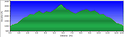
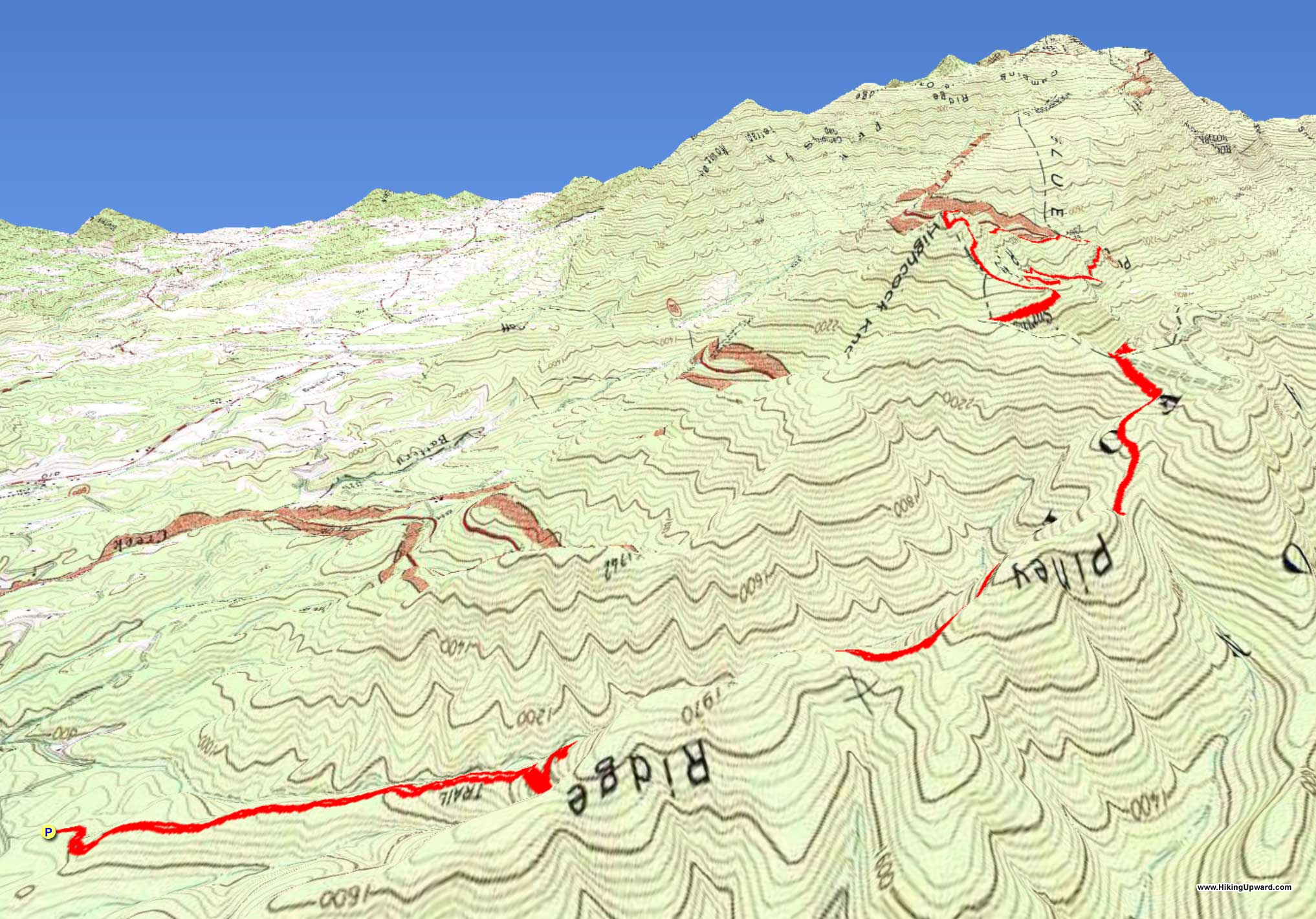
This hike is an out-and-back hike on the Piney Ridge Trail, linking to a loop hike that includes the Appalachian Trail. It features a great workout, as the hike starts at under 1000 feet elevation and climbs to summit Highcock Knob - at 3073 feet the highest point in the James River Face Wilderness. There are several nice campsites along the route, making an overnight outing possible. It also feature a little bit of A.T. history, as both the Piney Ridge Trail and the old Sulphur Ridge Trail, both traversed on this hike, were original alignments of the Appalachian Trail back in the 1930’s.
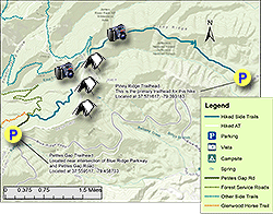
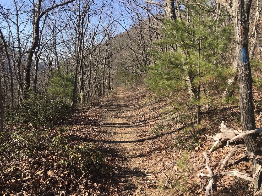
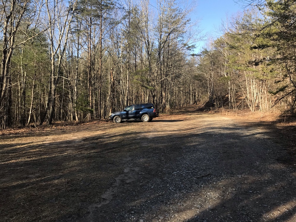
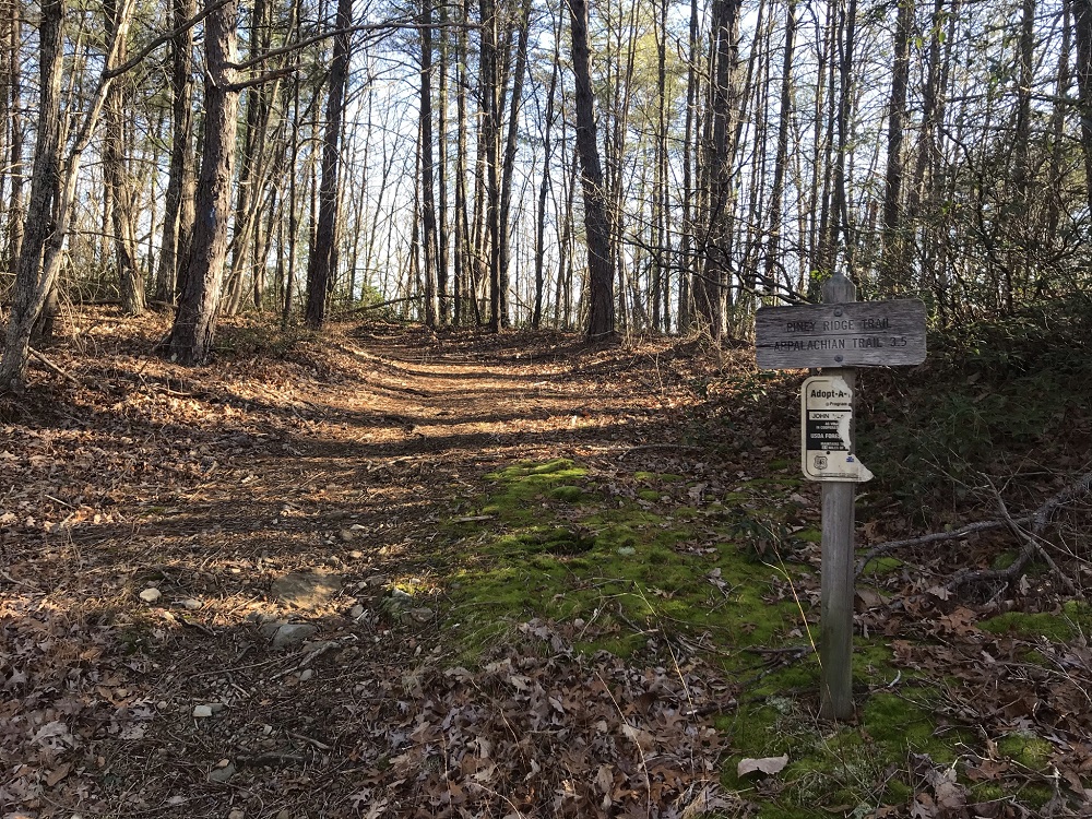
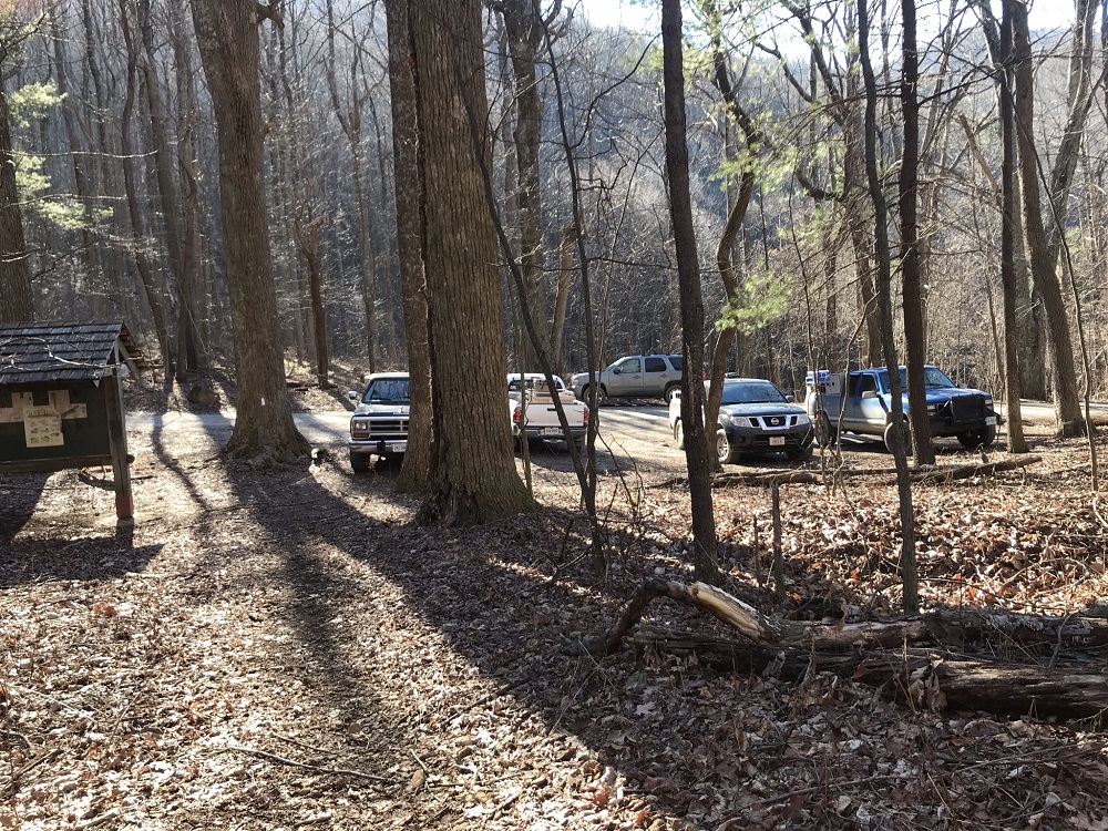
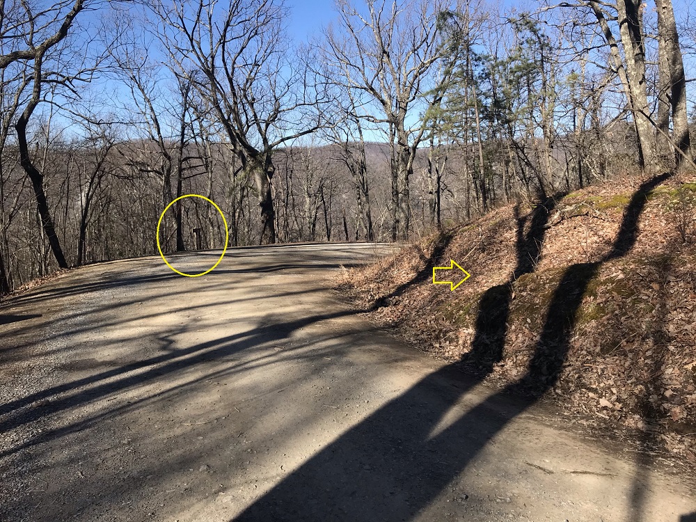
- Mile 0.0 – Start the hike in a parking area off Hunt Club Road, which is located off US 501 about 0.7 miles south of where the new US 501 bridge crosses the James River. The parking area is just past the hunt club’s building; take a right at the road fork. There is room here for 8-10 vehicles. Start the hike by following the road up from the parking area, where you quickly pass a closed gate, then the blue blazed Piney Ridge Trail leaves the road on the right and ascends, following an old woods road.
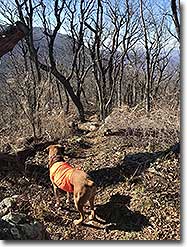
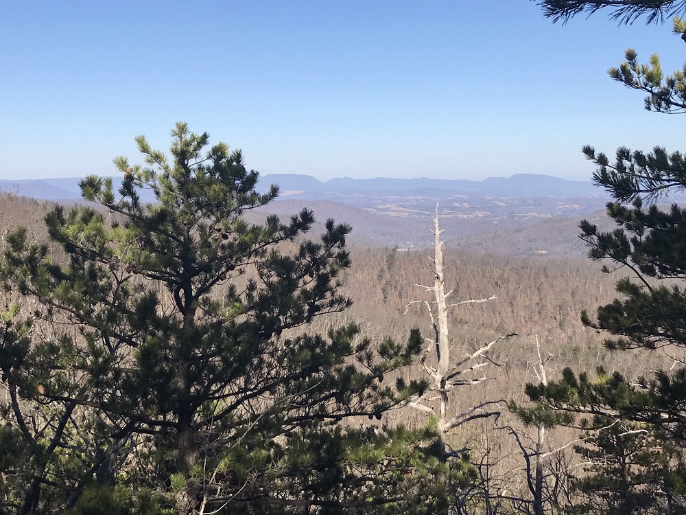
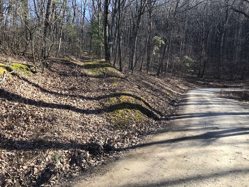
- Mile 0.8 – The trail leaves the woods road and ascends more steeply, eventually ascending via switchbacks with occasional views of nearby mountains.
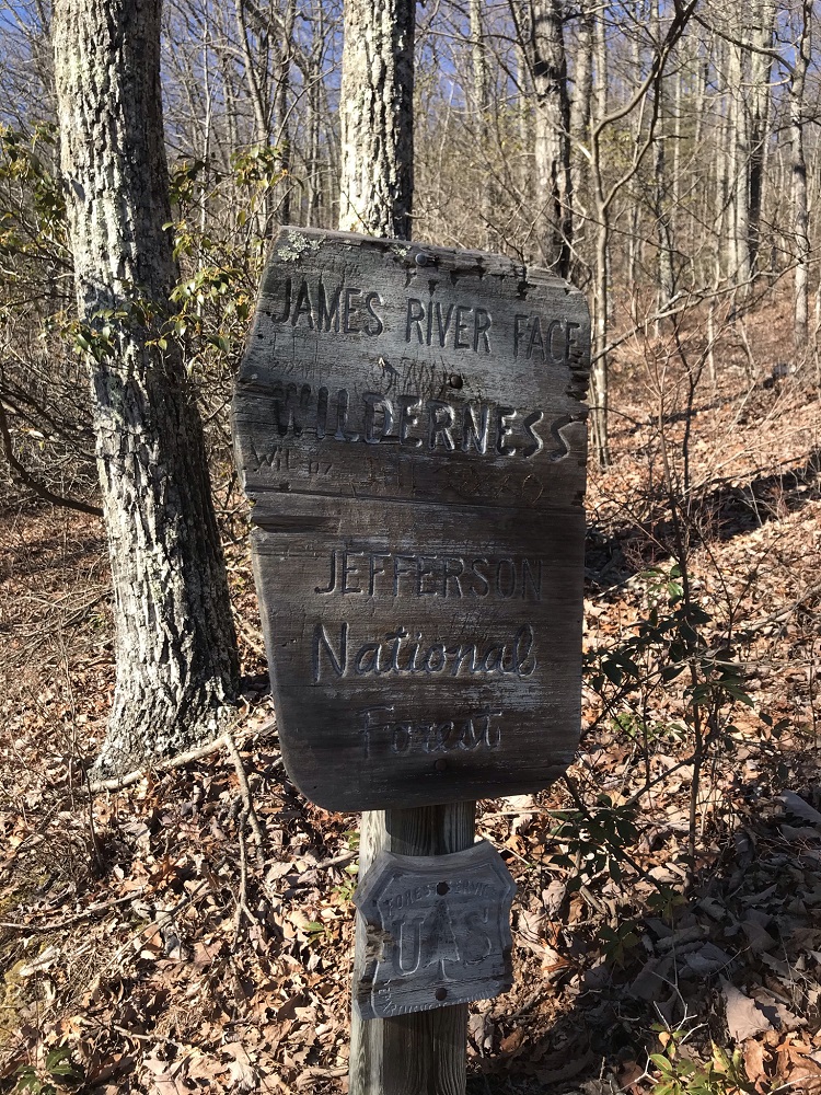
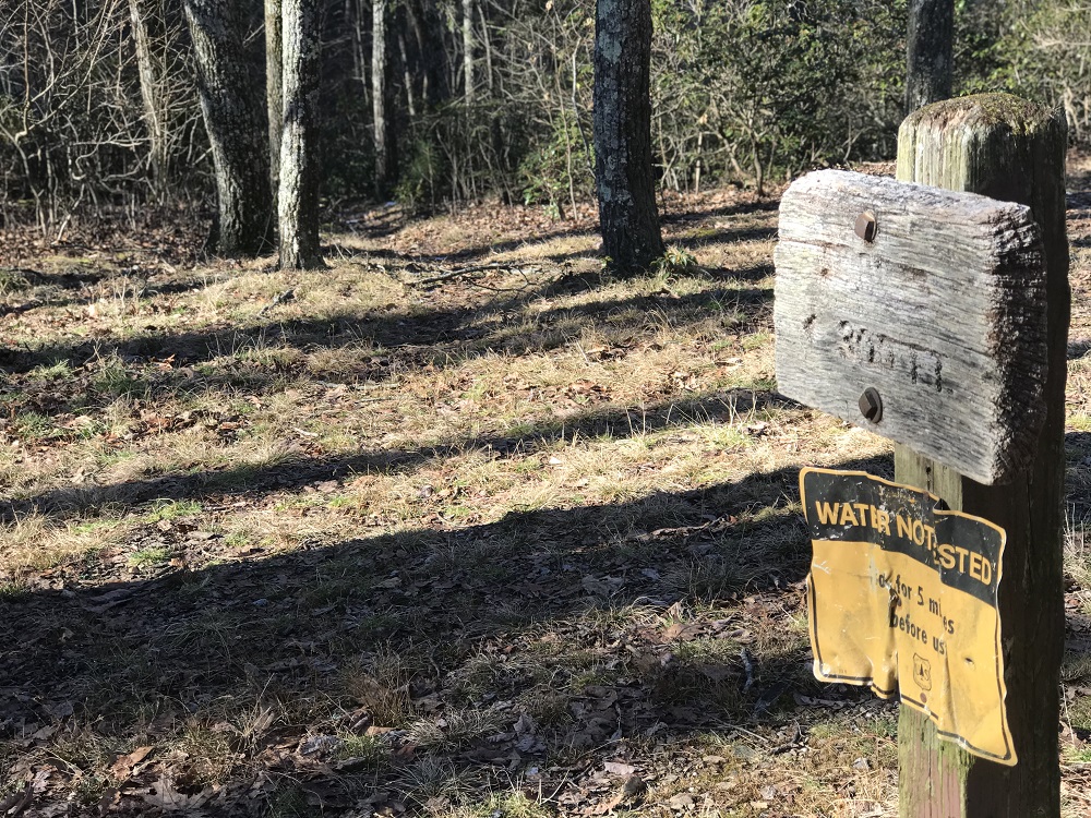
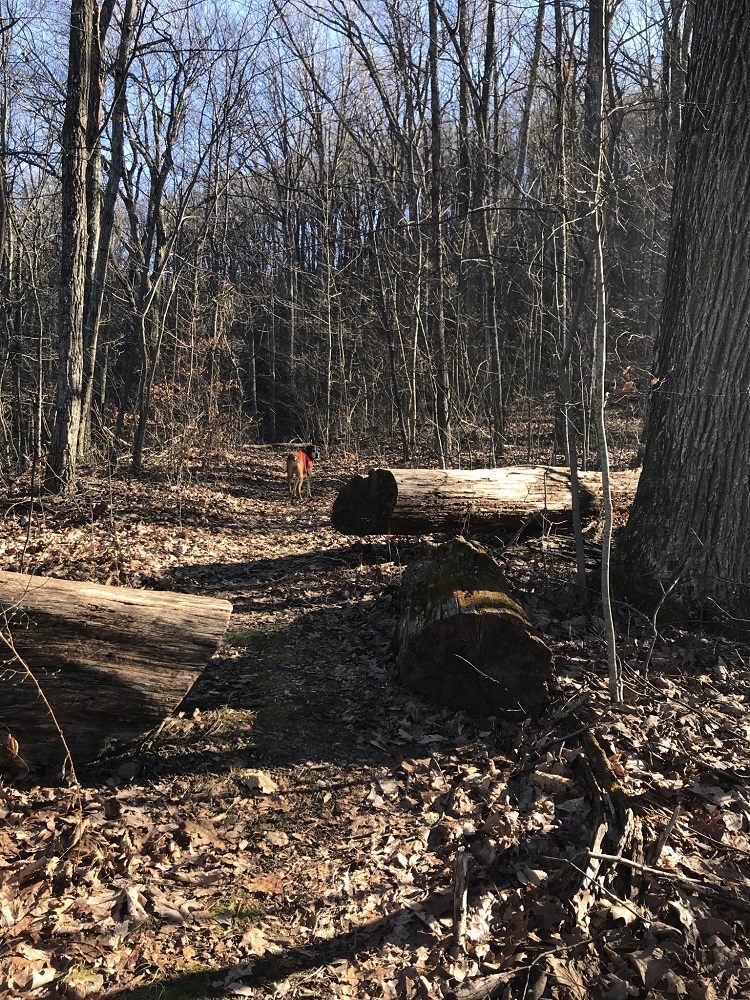
- Mile 1.6 – Enter into the wilderness area, marked by a wooden sign.
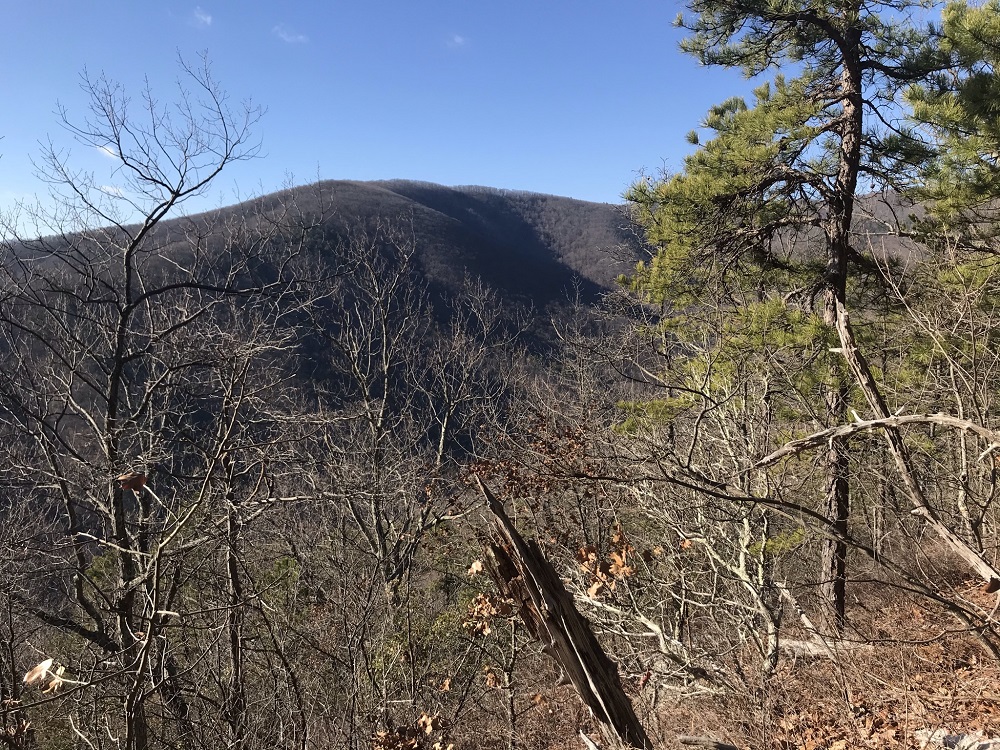
- Mile 2.6 – On the right is a short trail that leads about 30 feet to some rocks with a view to the northwest. The trail is not blazed and no sign is present, but the trail is obvious.
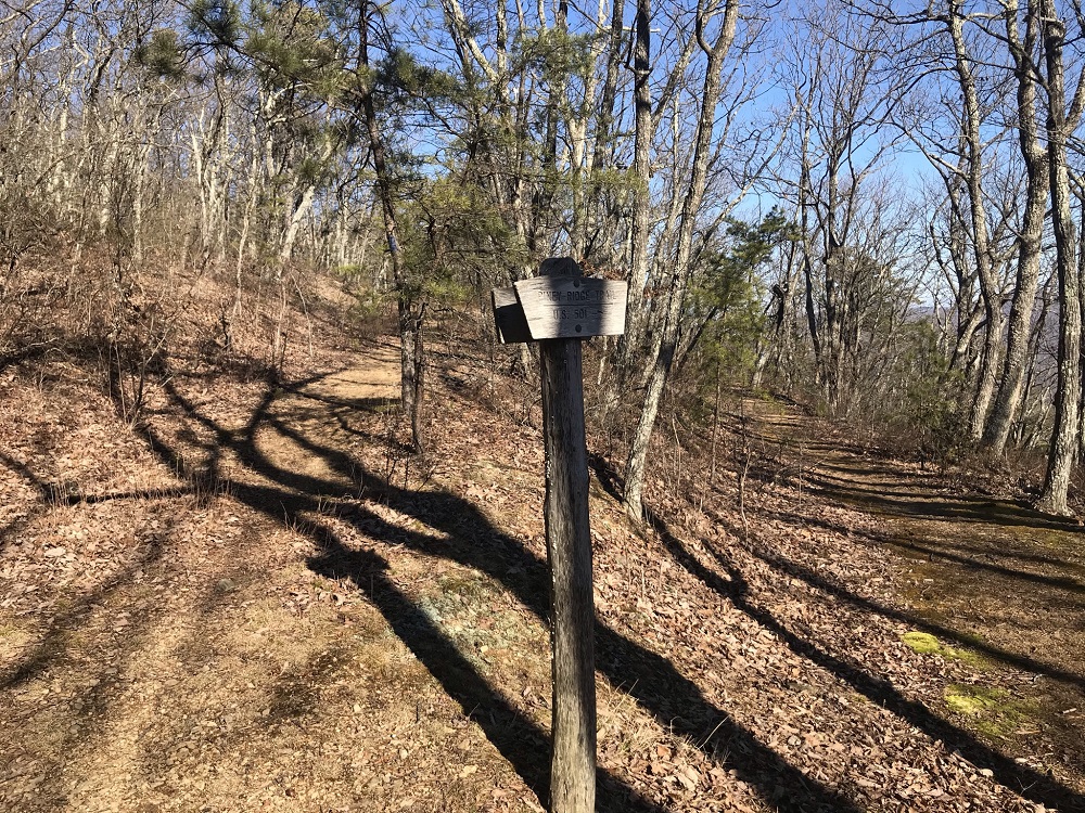
- Mile 3.4 – The Piney Ridge Trail ends at an intersection with the Sulphur Springs Trail, marked by a small sign. The Sulphur Springs Trail is an old road that winds its way northward to intersect with the AT – taking a right here then returning via the southbound AT would add 4.7 miles to your hike. Instead, keep going straight and quickly reach an intersection with the Appalachian Trail.
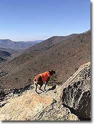
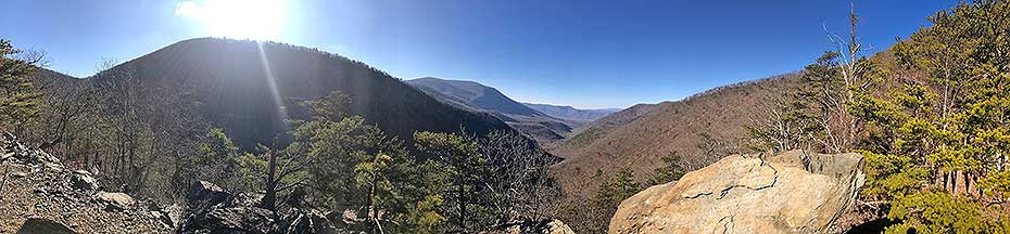
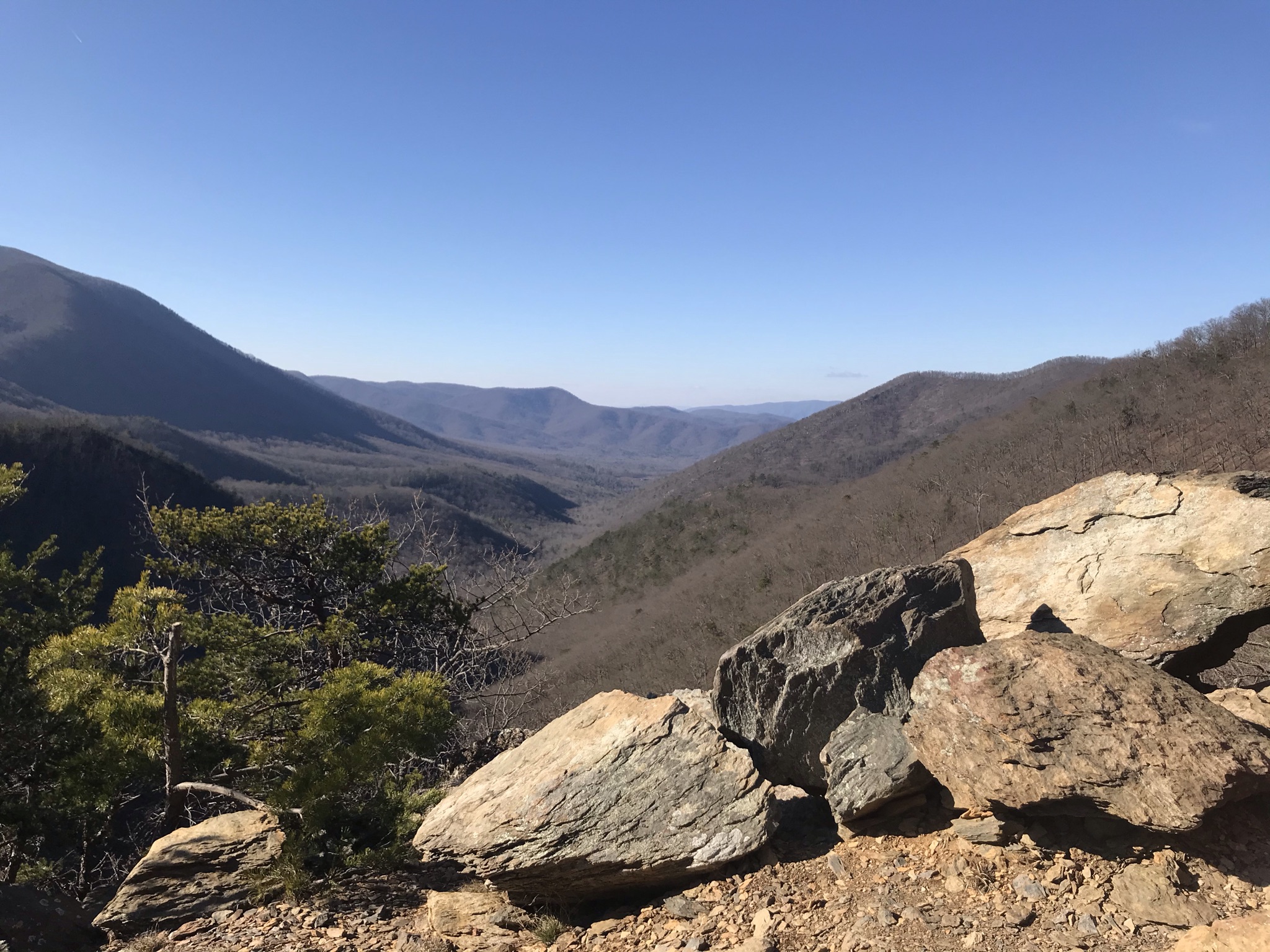
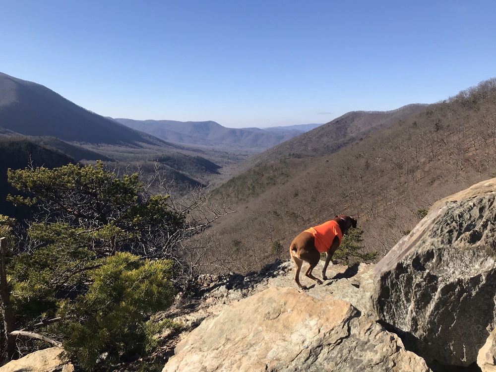
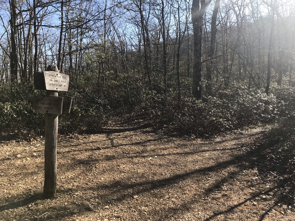
- Mile 3.5 – At the intersection with the Appalachian Trail, there is a lot going on. A small, dry campsite is on your left. Between the campsite and the AT is an unmarked trail that parallels the AT and eventually reconnects with the AT a little south at the Marble Springs campsite, described later in this report. The purpose of this side trail is a bit of a mystery, as it is clear that it has been used extensively through the years, and there is a rotting sign post on that trail indicating some previous “official” status. But none of the historic USGS maps dating back to 1935 show the AT using this route, and the trail is not described in any of the old guidebooks I have accessed, dating back to 1949. Instead of taking the unmarked trail or the AT here, continue straight on the Sulphur Springs Trail. This takes you a little out of your way, but a ten minute walk on an old road bed brings you to a rocky outcrop that provides the best overlook on this hike– and arguably the best view in the entire James River Face Wilderness. You will likely agree that the extra effort is worthwhile.
- Mile 3.7 – The overlook provides a great spot to stop for a snack! After soaking in the view, turn around and head back uphill to the intersection described above. (If you continue on the Sulphur Springs Trail, you descend gradually to a small parking area on Petites Gap Road. Returning uphill on this road, you could ascend to intersect with the route I describe in this account, for a longer hike.)
- Mile 4.1 – Back at the intersection with the campsite and unmarked trail, take a right and head southbound on the AT, heading towards Petite’s Gap.
|
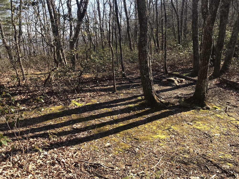
- Mile 4.6 – Reach the best campsite of this hike, at a site called Marble Spring. This site has a very long history with the Appalachian Trail. Historical documents of the Natural Bridge Appalachian Trail Club report that club members built a wood and tarpaper shelter here in 1933 for their use when constructing the original AT in this area. This shack was twice destroyed (once by bears and once by vandals). Later, NBATC volunteers built a standard shelter in this same area, but took it down when the area received Federal Wilderness designation, and rebuilt the same shelter to the south on Cove Mountain, where it still stands. Now, the Marble Spring site has a large campsite with a fire pit and a couple of nearby springs. The AT travels through the middle of this campsite. A small sign marks the short side trail to the spring. If you look carefully on your left as you head south, you will see an unmarked trail that leads down along a drainage. This trail is no longer “official,” but is found on older topographic maps and connects to the Blue Ridge Parkway. NBATC trail maintainers use it to get quickly to this part of the AT. Stay on the AT and begin to climb.
- Mile 5.0 – Ascend to a point where the AT takes a sharp left turn and another trail continues straight. There is no signpost here, so be sure to follow the white blazes and stay on the AT. The trail straight ahead is the one you will return on if following the route described in this report.
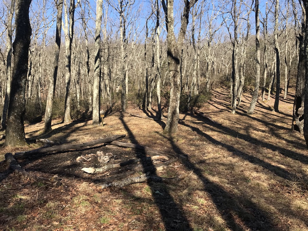
- Mile 5.6 – Pass a small, dry campsite just off the trail on your left. The past several tenths of a mile of the AT you just traversed is actually very new. It was constructed by the NBATC and Appalachian Trail Conservancy after 2015 to replace an exceptionally steep section of trail.
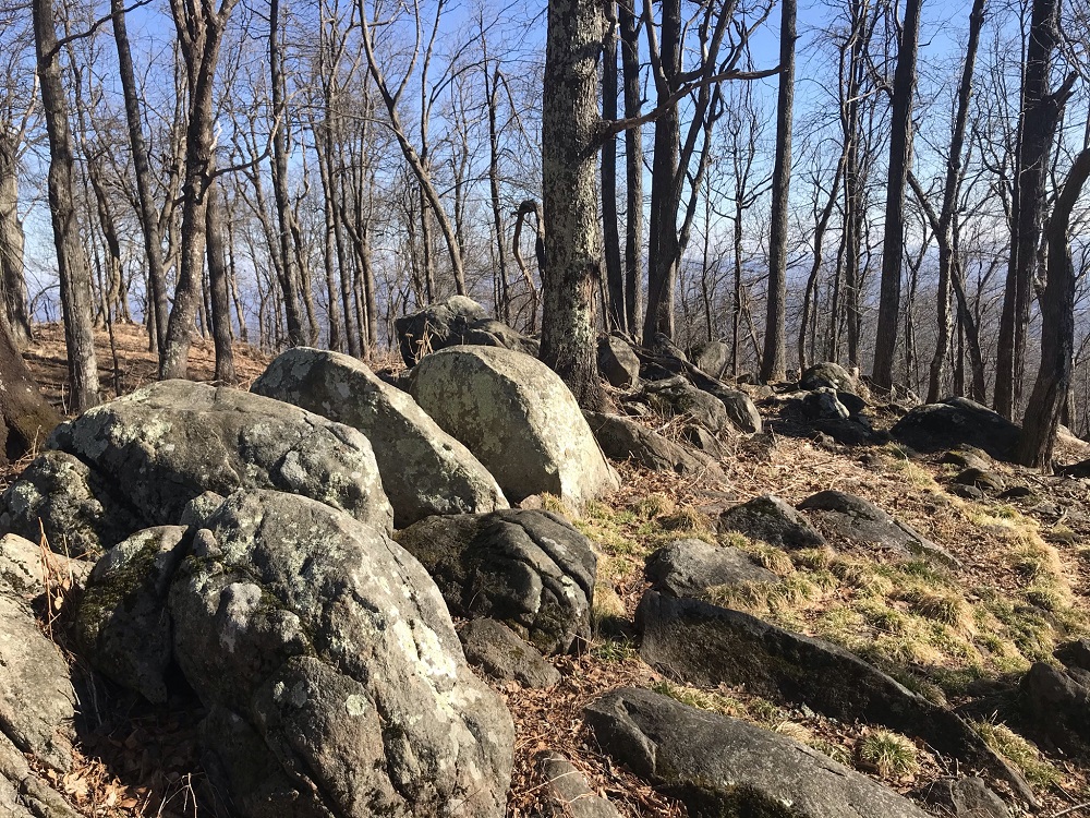
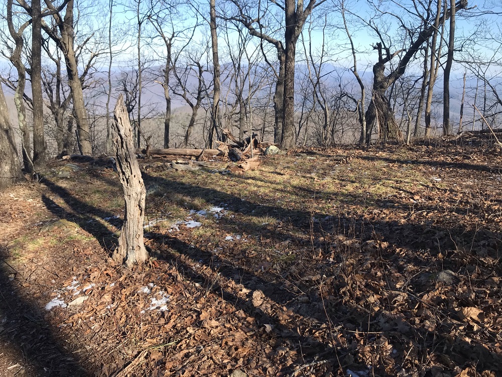
- Mile 5.7 – Summit Highcock Knob, passing through an area with several large boulders, but no Summer views. This is the high point of the hike, at 3073 feet. The trail then drops steeply as it heads southwest.
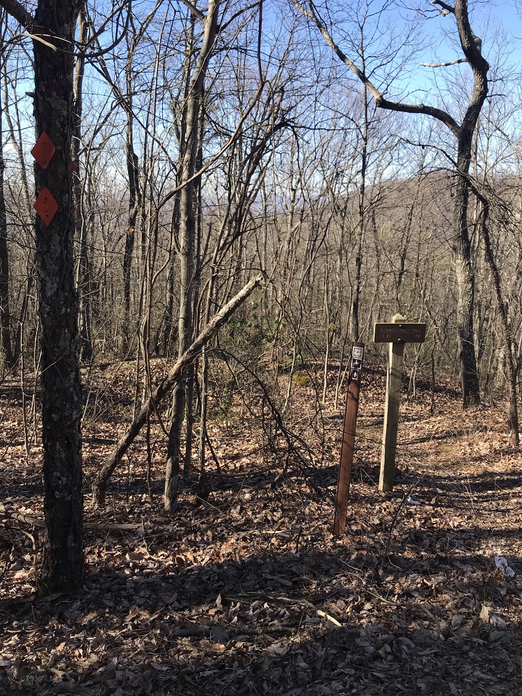
- Mile 6.9 – Exit the Wilderness and come to Petites Gap Road, with a kiosk and parking area for 6-8 vehicles. This hike turns right onto Petites Gap Road, heading downhill. This road meets the Blue Ridge Parkway just a short distance to the left, and during the winter the Parkway often closes due to snow and ice – limiting traffic on this road.
- Mile 7.4 – Descend on Petites Gap Road until you come to a sharp turn to the right. To the left of the road you should see orange diamonds and a trail sign for the Glenwood Horse Trail. If you need water, Hunting Spring is about a half mile down the horse trail and is seldom dry. Otherwise, you should look right for evidence of a trail (really, an old road) climbing up from Petits Gap Road. Follow this trail back into the Wilderness, though no boundary indicator exists. Although this trail is unblazed, it is easy to follow. This section is marked on old topographic maps as a “Jeep Trail” or “4WD,” but no vehicles have been permitted since the area was designated Federal Wilderness. It was formerly known as the Sulphur Ridge Trail. It is now a trail that has been decommissioned by the Forest Service, as rangers told me personally they did not want it included on the latest PATC trail map of the area (PATC Map #13) when I was part of the team revising that document. Someone maintains the trail, however, and it has always been in good shape when I’ve hiked it over the years. It provides much easier access to the Marble Spring area from Petite’s Gap than hiking over Highcock Knob. It also has AT history – like the Piney Ridge Trail, this section was an original alignment of the AT (likely as an active road), replaced by a newer trail route over Highcock Knob sometime prior to 1949.
- Mile 8.6 – Return to the AT and continue straight, and retrace your steps descending to Marble Spring.
- Mile 9.0 – Follow the AT’s white blazes through the Marble Spring campsite.
- Mile 9.5 – Return to the intersection with the Sulphur Spring Trail. Take a right here, and then shortly thereafter, another right onto the Piney Ridge Trail.
- Mile 12.8 – After reaching a woods road, turning left and crossing through the gate, return back to your vehicle.
|
|


