At nearly 48,000 acres in size, the Cranberry Wilderness is the largest single wilderness area in the Northeastern United States. Because of the area’s remoteness, we do not recommend hikes in this wilderness to inexperienced hikers or backpackers. Some trails within the wilderness barely exist (especially along the northern edge of the wilderness), and folks have gotten seriously lost out here. The trails described on this site, including this hike, are generally safer than other trails in the wilderness as they are more widely used and consequently easier to follow.
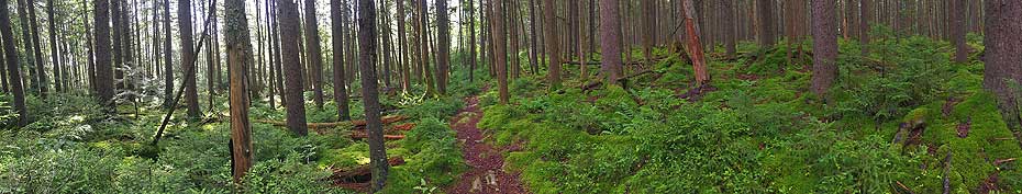
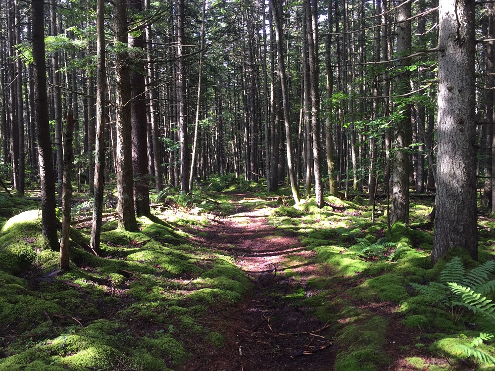
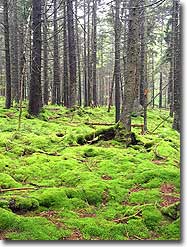
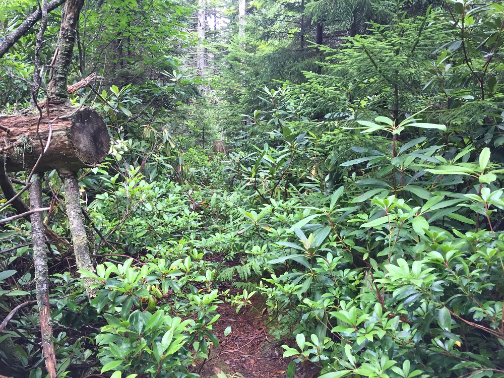
This route is the out and back hike to the Tumbling Rock Appalachian Trail-style shelter located just outside of the wilderness, but shorter overnights are possible as there are several very nice campsites just off of the North-South Trail. You can choose to link this with trails found in the full trails map for the Cranberry Wilderness to create a shuttle hike, or make this an out-and-back. These trails are often wet and muddy, so we recommend waterproof boots. Because of this wetness, the hike traverses some wonderfully lush terrain making this a very enjoyable hike, despite the total lack of vistas. It is like walking through the set of Lord of the Rings!
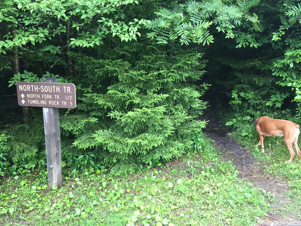
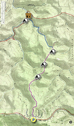
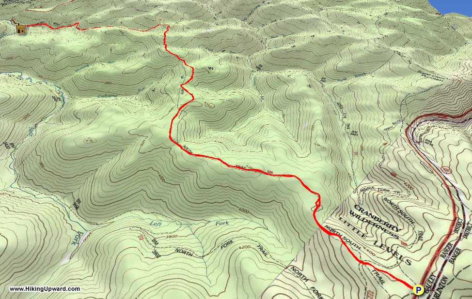
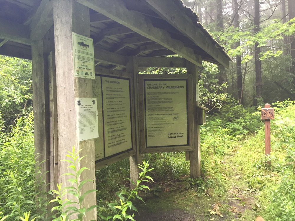
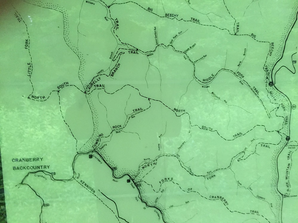
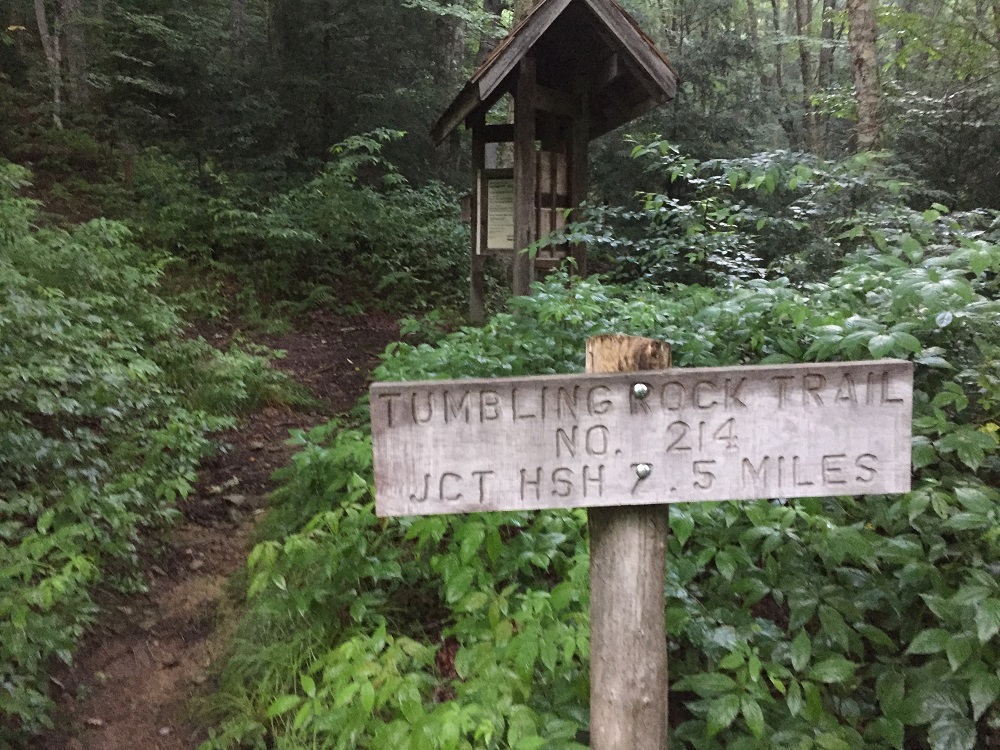
Mile 0.0 – The trail starts at a parking area along the Highlands Scenic Highway, which holds 6-8 vehicles. It looks like you enter into a small hole next to the sign, and once inside, you are in another world! Soon after leaving the parking lot, pass a kiosk with information about the area, trail descriptions, and a map. Make sure to take a photo of the map if you forgot to print out this description. Although there are no trail blazes on trees, this trail is easy to follow, and there are trail signs at intersections.
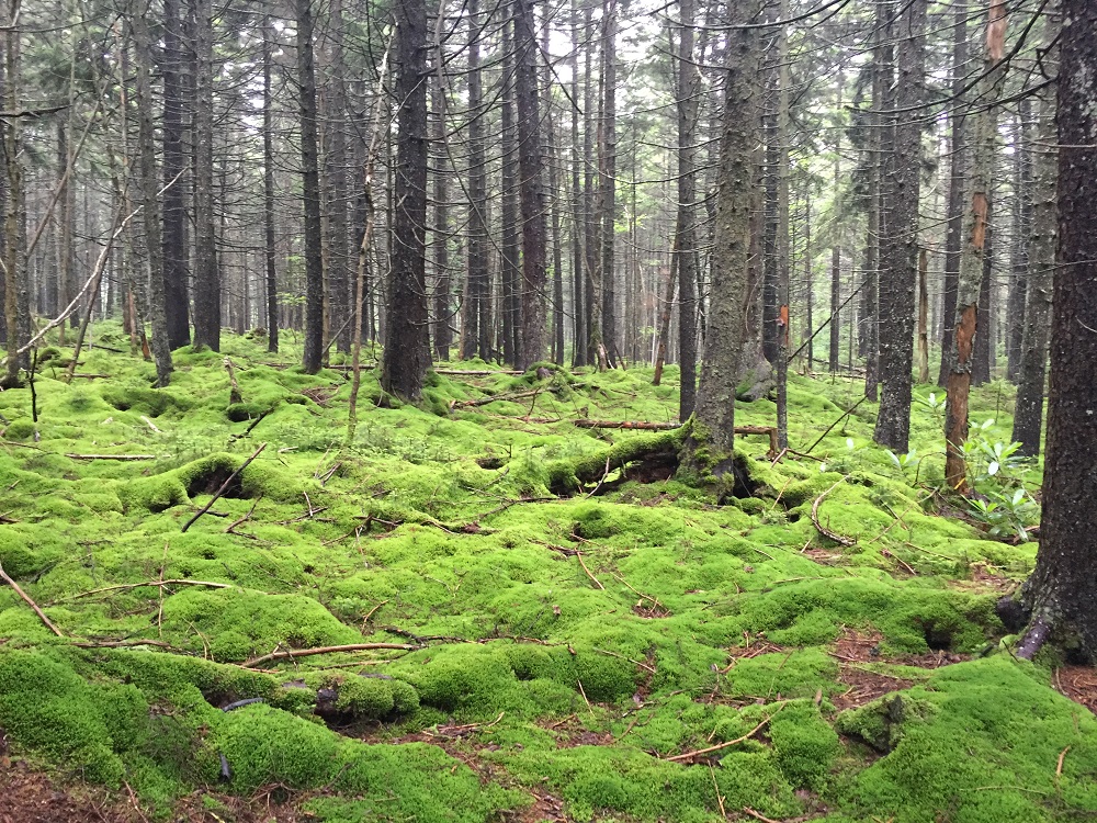
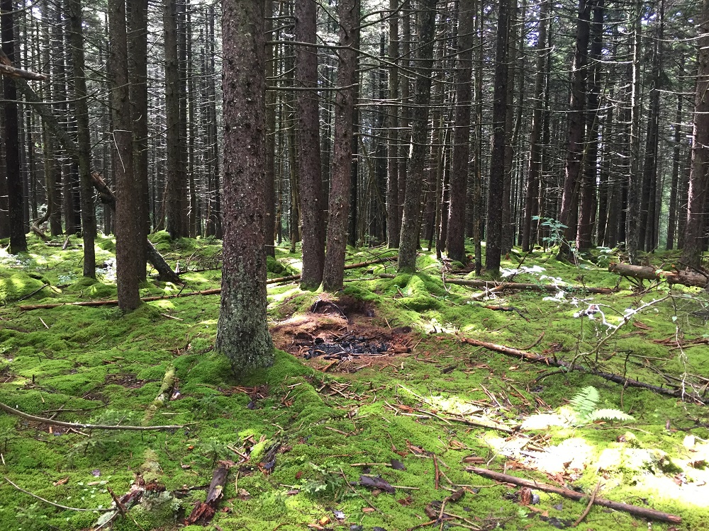
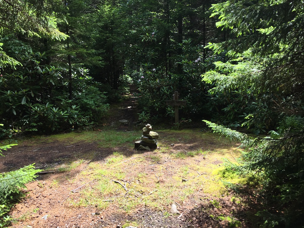
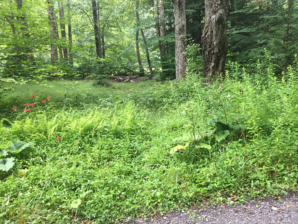
Mile 0.5 – A stone cairn and a signpost in a small clearing mark the intersection with the North Fork Trail. This is one of the only clearings until the end of this hike. Taking the North Fork Trail to the right (north) 1.2 miles connects with the Middle Fork Trail. South, the same trail leads out of the wilderness to a road connecting several Appalachian Trail-style shelters. Continue straight ahead on the North-South Trail, following a broad ridge between two river valleys. Within a few minutes, you will find yourself in a beautiful landscape of hardwood trees and vibrant mosses, while slowly losing elevation over the first three miles.
Mile 4.6 – Ascend a brief but very steep section that will likely also be very muddy. After cresting a small hill at the 4.8 mile mark, the rest of the hike will be almost all downhill.
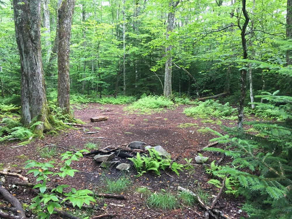
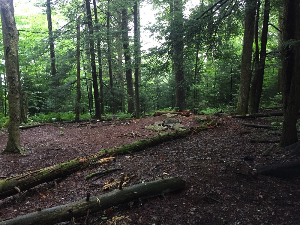
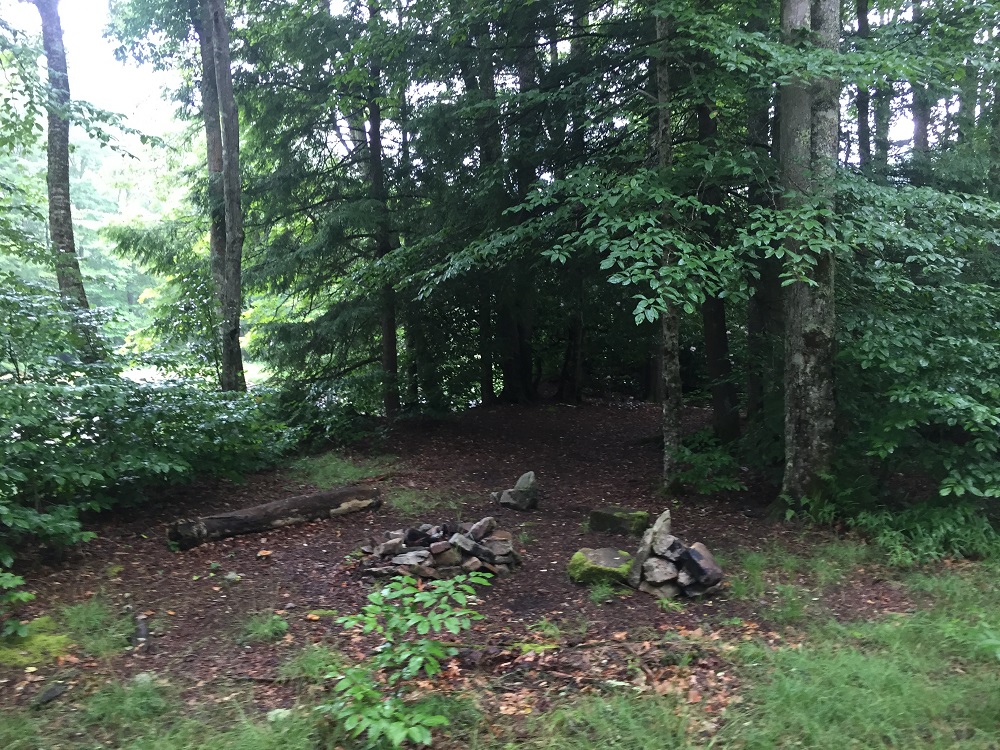
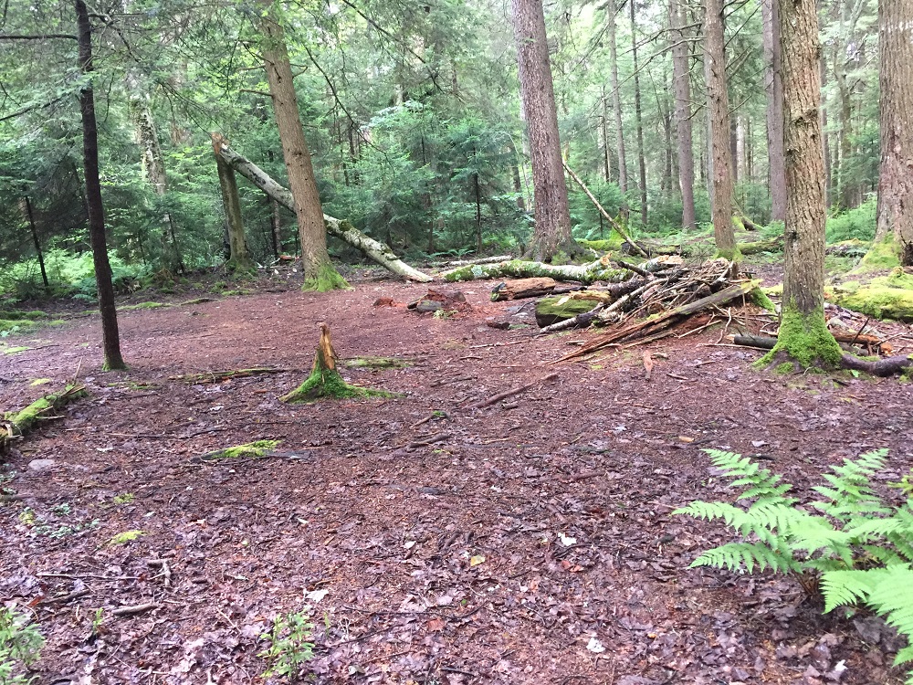
Mile 4.8 – Pass a third campsite, to the right of the trail. This is the last campsite before exiting the wilderness area and entering a remote area with a beautiful campsite, described below, about 3.4 miles further. Please do not make your own campsite, which mars the landscape.
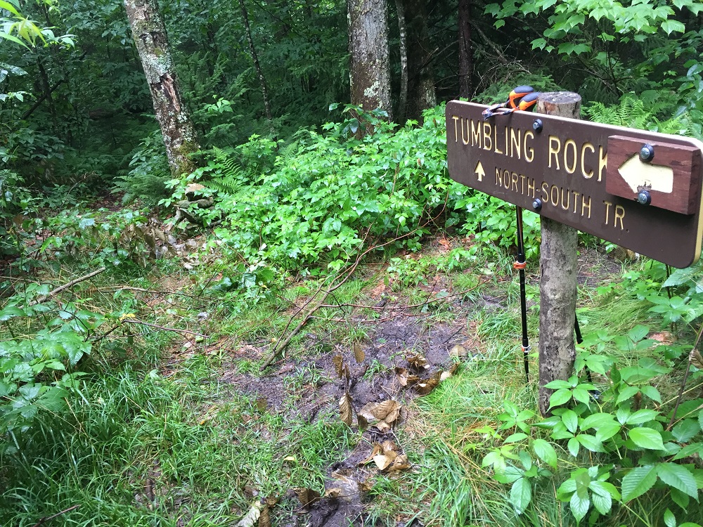
Mile 5.2– Reach an intersection with the Tumbling Rock Trail, marked by a trail sign. The North-South Trail continues straight ahead, but this hike description follows the Tumbling Rock Trail to the left, which drops 1000 feet from 4100 to 3100 feet in elevation before reaching wilderness boundary.
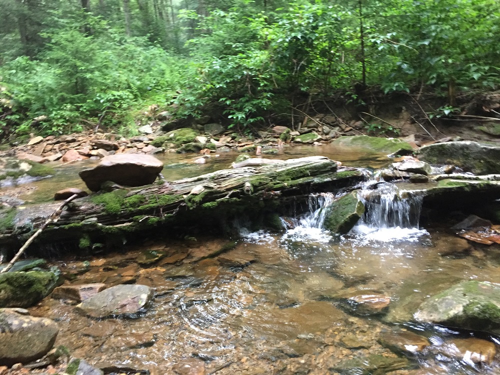
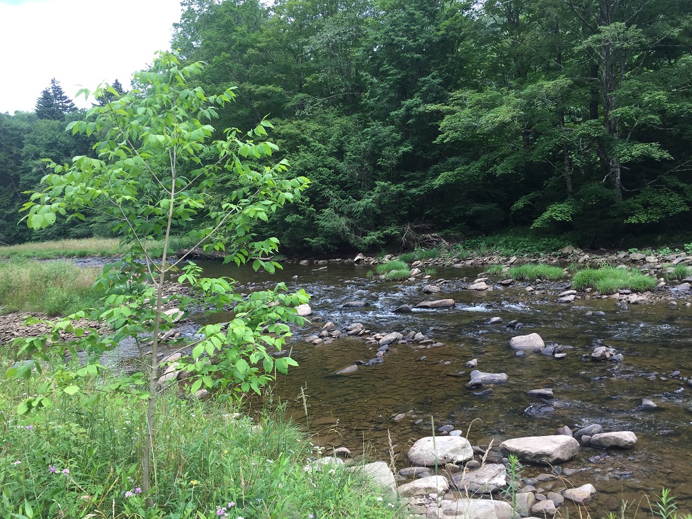
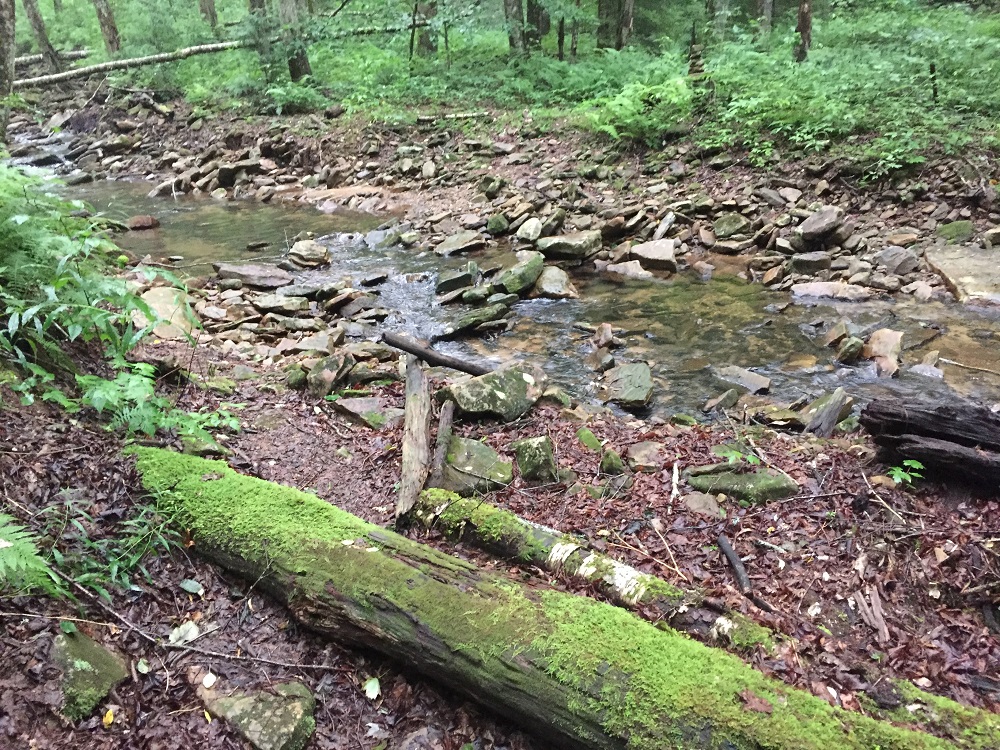
Mile 8.1– The Tumbling Rock Trail exits the wilderness, passes an information kiosk, and ends at a gravel road. To the left is a bridge over Tumbling Rock Run, but you should turn right if you want to find a place to overnight.
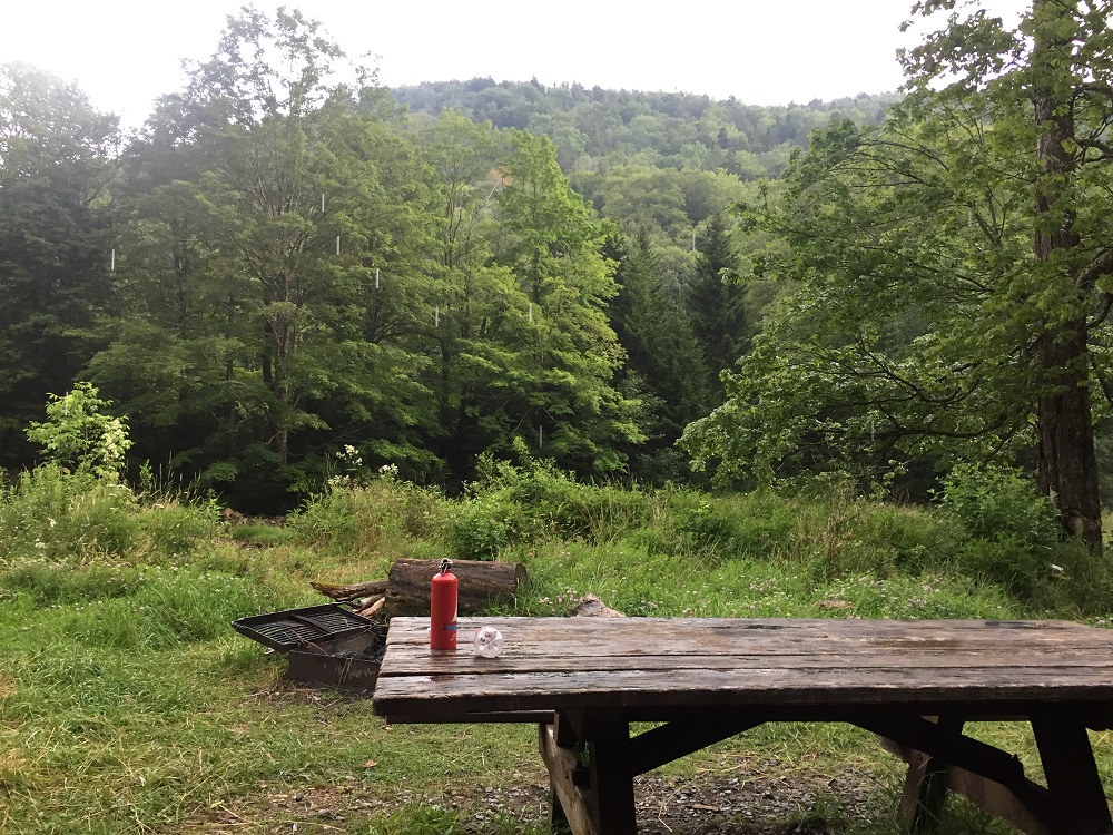
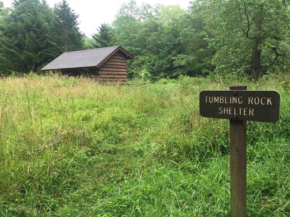
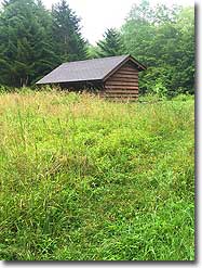
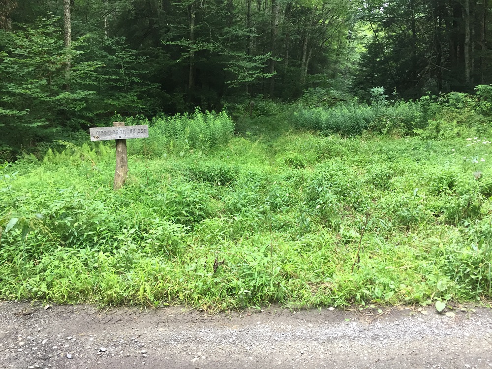
Mile 8.3 – Just beyond the campsite is the Tumbling Rock Shelter, an Appalachian Trail-style design. This site has a privy, picnic table and fire pit, and access to the South Fork of the Cranberry River. It is very unlikely that you would find both of these sites occupied, but if they are, continuing on the road another two tenths of a mile brings you to the Birchlog Trail, which has a nice
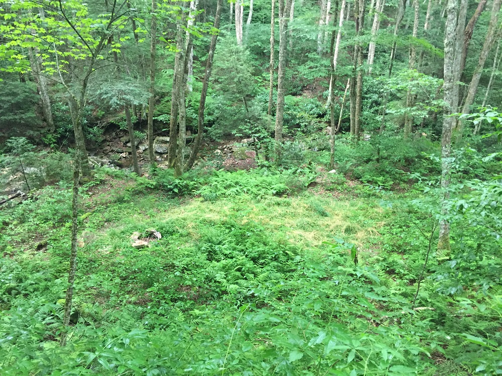
campsite shortly up the trail on the right side near Birchlog Run. The Birchlog Trail is easy to follow, and can be used to loop back to the North-South Trail, which can then be followed east (right) back to the original trailhead on the Highlands Scenic Highway if a little variety is desired on the return trip.
Mile 16.6 - The out/back route returns you to the parking area on the Highlands Scenic Highway.
Mid August
Tumbling Rock Shelter
Tumbling Rock Hike Comments
Archived Comments
By:Max
Rating:
Date of Hike: Saturday, September 21, 2019
Overall this hike is fun and simple. The North-South Trail section was a highlight given the beautiful mosses and ferns. The Tumbling Rock Trail section was less interesting, but it went by quickly. I camped in a tent next to the shelter, and it was great.
The directions here are useful and won't lead you astray, but keep two things in mind. First, I saw at least four campsites (indicated by fire pits) in the section where the directions say there are three. Perhaps one of these was not "established," but I don't know how to tell the difference. If you keep following the trail you'll be fine - just remember that the descriptions about "ascend a brief but very steep section," etc., might not align with the campsites you see. Second, starting around mile 3, the North-South Trail becomes a bit harder to follow than the directions suggest. I didn't really have a problem, but be prepared to pay attention and do some problem-solving. For example, the trail was covered by a downed tree next to third (or fourth) campsite. I had to look around a bit to see where the trail picked up.
If I do this hike again, I will probably make it a loop back from the shelter by following the gravel road back east and then taking the North Fork Trail (TR 272) back to the first intersection at mile 0.5. I wanted to do this on my hike, but I didn't know if the North Fork Trail was in good condition.


