|
| Length |
Difficulty |
Streams |
Views |
Solitude |
Camping |
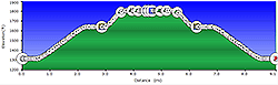
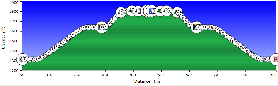
| 9.8 mls |
 |
 |
 |
 |
 |
Hiking
Time:
Elev. Gain:
Resources: |
4.0 hours with breaks
800 ft
 Topo Hike Trails Map (PDF) Topo Hike Trails Map (PDF)
Marlinton WV Weather Forecast
Garmin (GDB), Gaia/Trails App (GPX) (What's
this?)
3D View of Route |
 By Trail Contributor: Jeff Monroe (Email Jeff) By Trail Contributor: Jeff Monroe (Email Jeff)
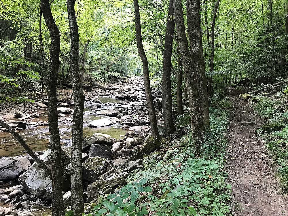
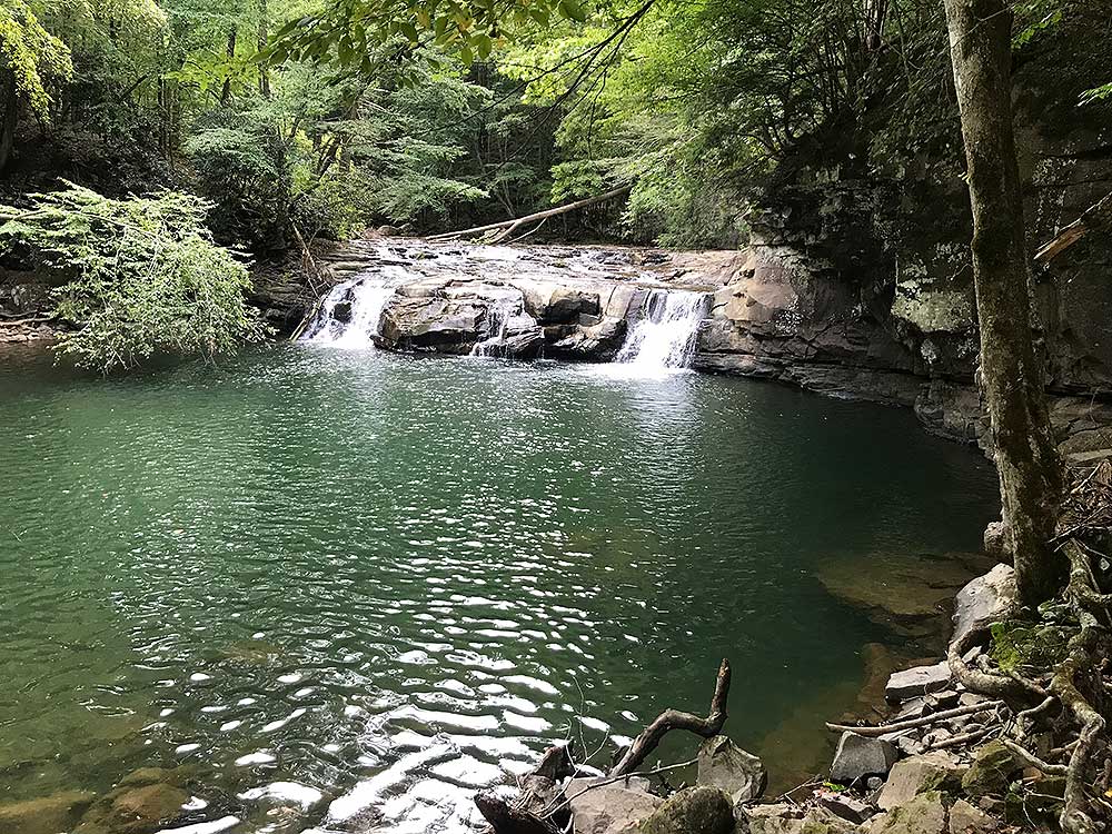
The New River Gorge National Park and Preserve became America's 63rd National Park in 2020, including some of the most spectacular sections of the New River Gorge. Found within this park, the Glade Creek Trail follows its namesake creek for 6 miles through a steep canyon – so steep that our GPS receiver had difficulty keeping satellites locked in. Despite the nearby steep terrain, the trail itself is very flat and easy, using an old narrow gauge rail bed. This hike description follows the trail from the north only as far as a waterfall, then back to the trailhead. Along the way are plenty of swimming holes or you can take a shower under the waterfall! This makes a great Summer/early Autumn hike.
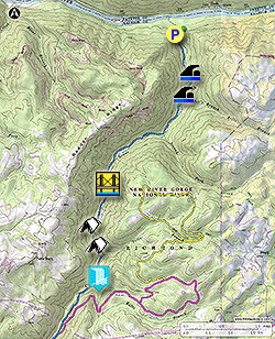
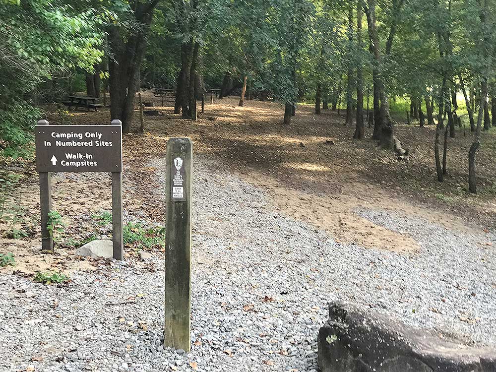
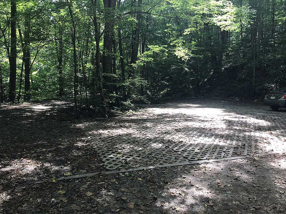
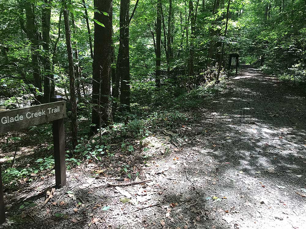
- Mile 0.0 – Start the hike in the parking area at the entrance to a campground along the New River, at the end of a six-mile long gravel road. This campground has outhouses with six walk-in tent sites and five drive-in sites for tents or small-medium RVs. There is one accessible site (handicapped permit must be displayed). The walk-in tent sites are right on a peaceful section of the New River, next to a boat ramp. There is no charge for camping here, but you must camp in one of the numbered sites and you cannot reserve a campsite in advance. Park to the right in a lot just before the campground and head south along Glade Creek, next to the sign that says “Glade Creek Trail.” Do not take the pedestrian bridge that crosses the creek near the parking lot but follow the trail along Glade Creek.
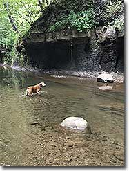
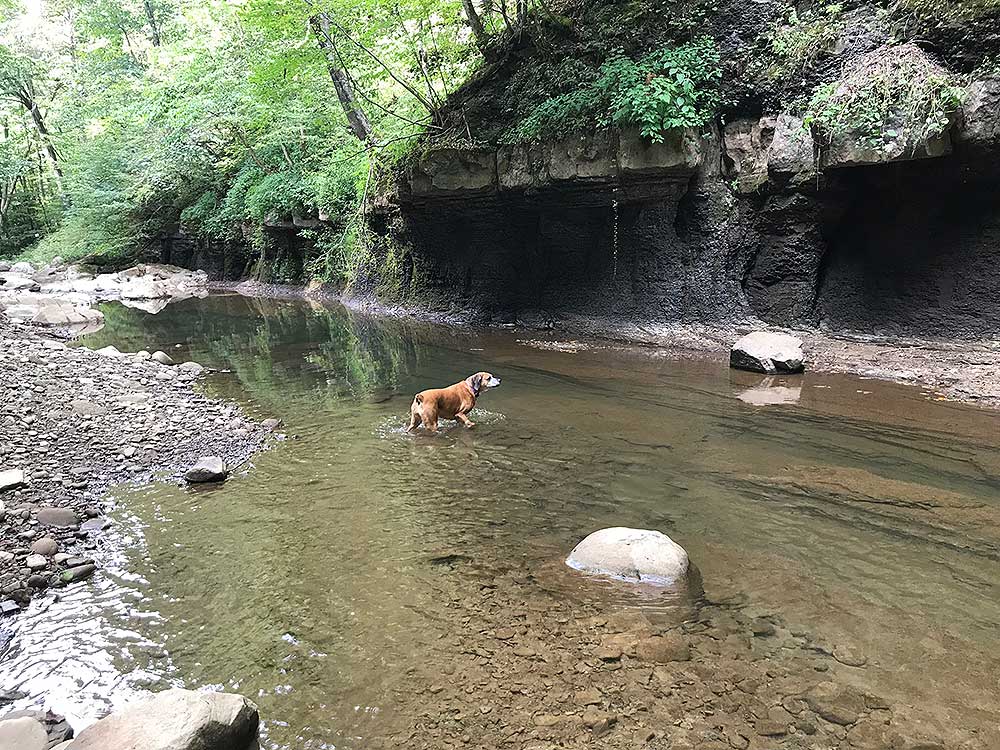
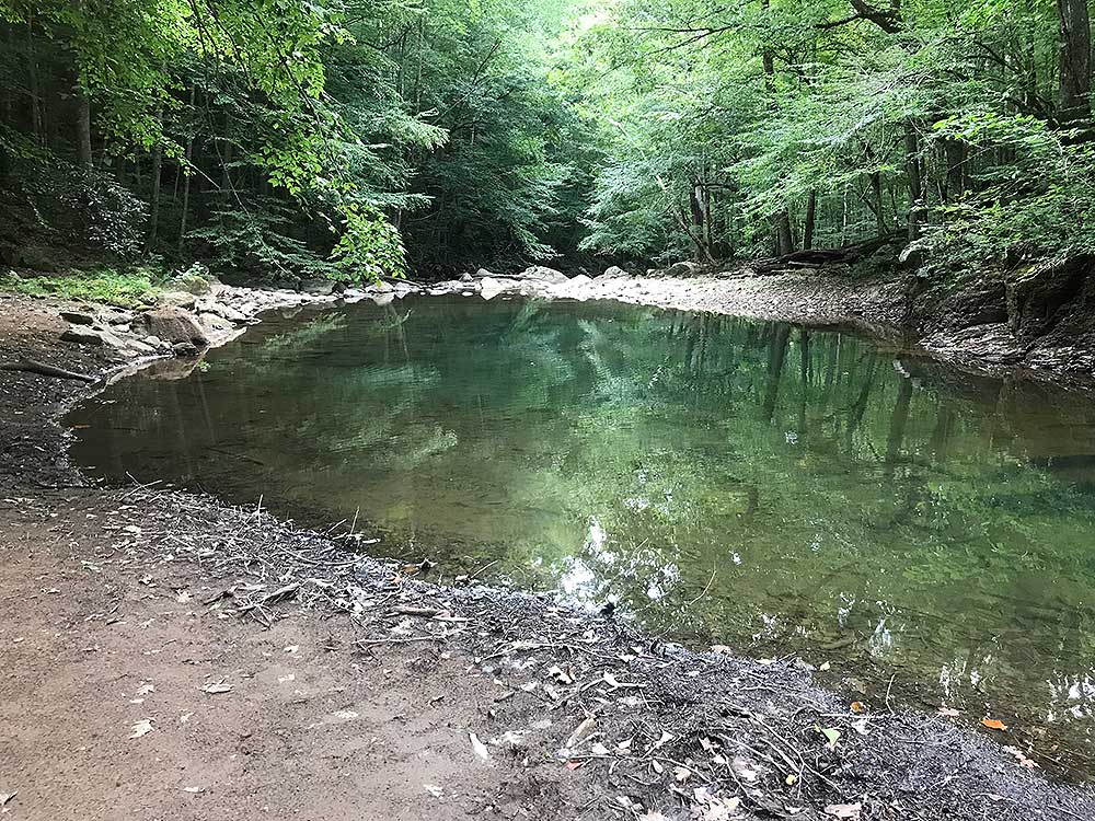
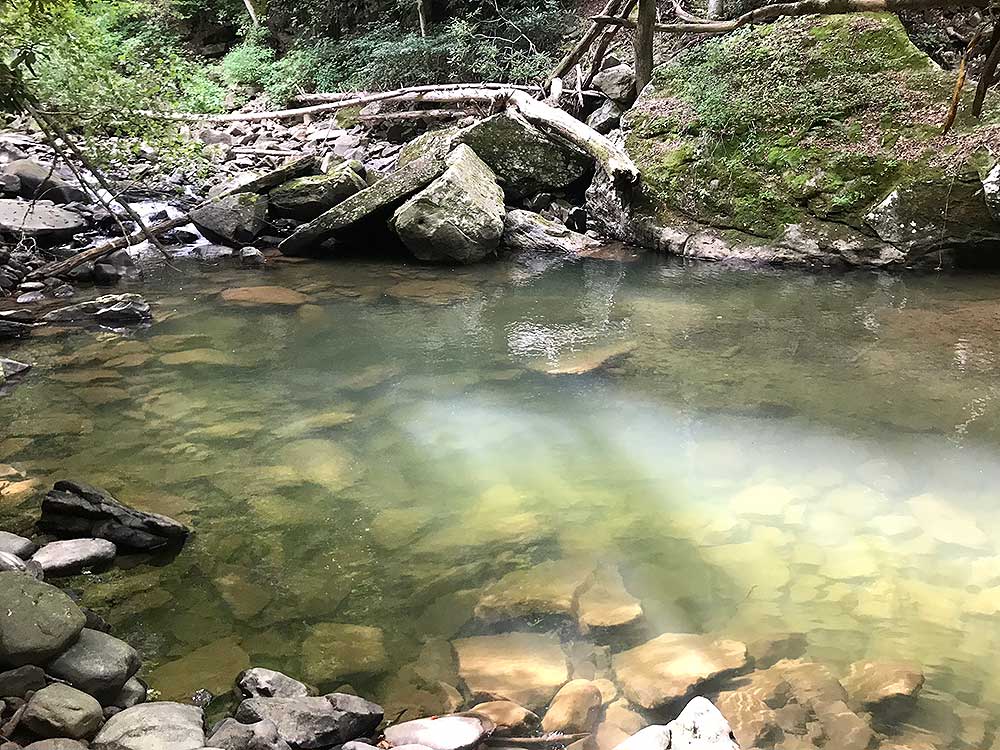
- Mile 0.6 – Pass the first of many swimming holes along Glade Creek.
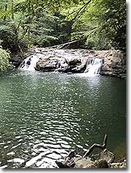
- Mile 0.9 – Glade Creek widens into a large (and locally popular) swimming hole immediately downstream from a rock ledge that creates a waterfall. This is the place you are most likely to see others, especially on a warm summer day!
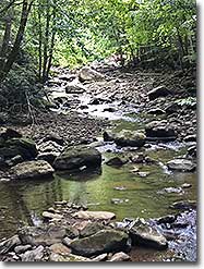
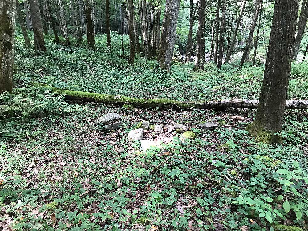
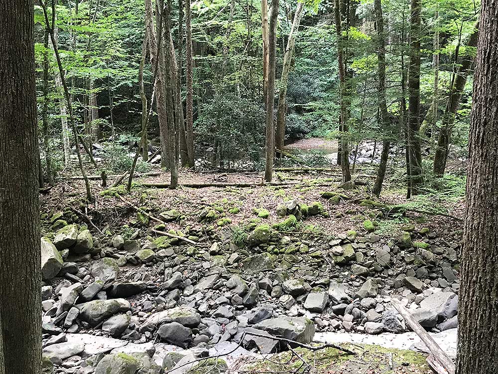
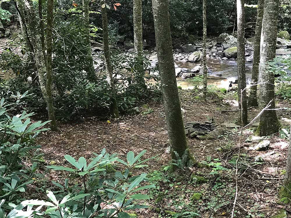
- Mile 2.9 – The trail slowly climbs in elevation, with short ascents in areas where the old rail bed washed out. Between the trail and the creek at this point is the first of several campsites. This one is overgrown, but is next to a very pretty ledge in the creek.
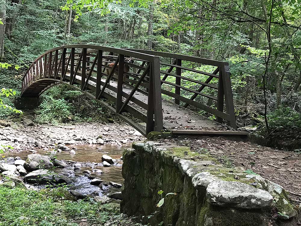
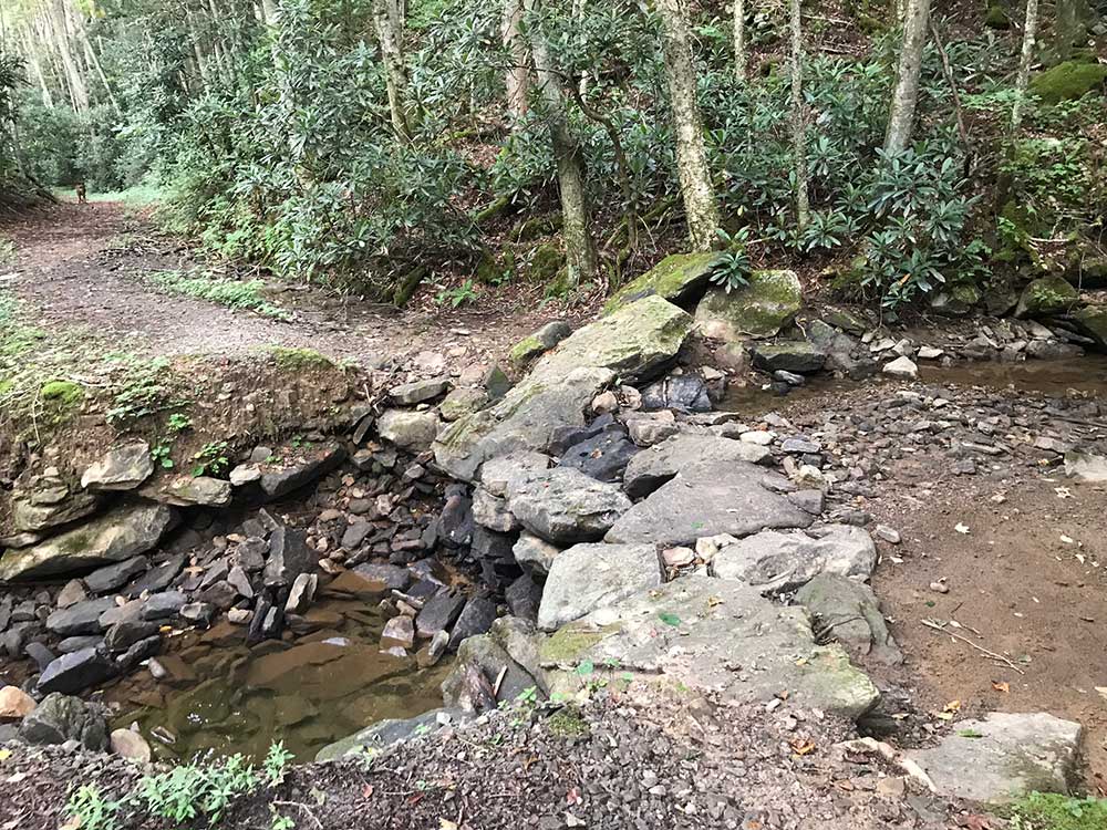
- Mile 3.0 – The Glade Creek Trail crosses Glade Creek on a metal bridge.
- Mile 3.8 – A small campsite can be seen from the trail, located on a small island in the creek.
- Mile 4.3 – Just after crossing a small side creek, the trail passes above another small campsite.
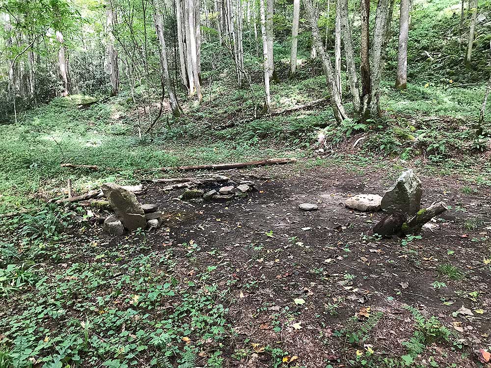
- Mile 4.5 – On your left is the largest campsite on this hike, just before a small swimming hole in the creek. Note, however, that this campsite appears to be against NPS regulations, which prohibit camping within 100 feet of developed trails.
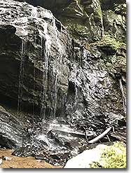
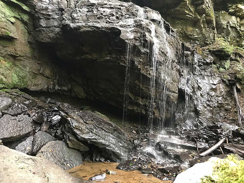
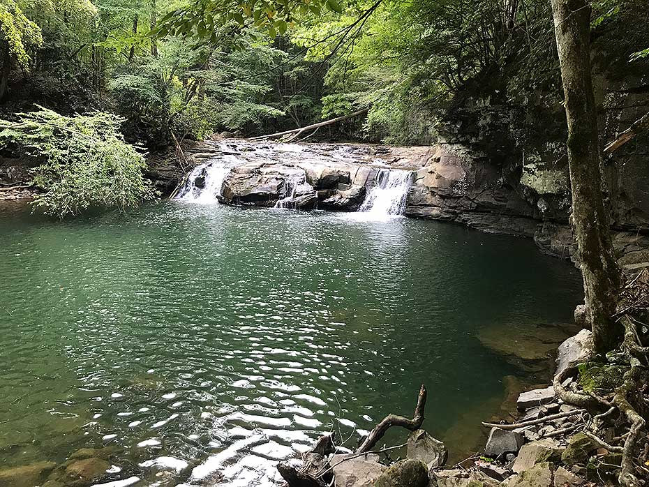
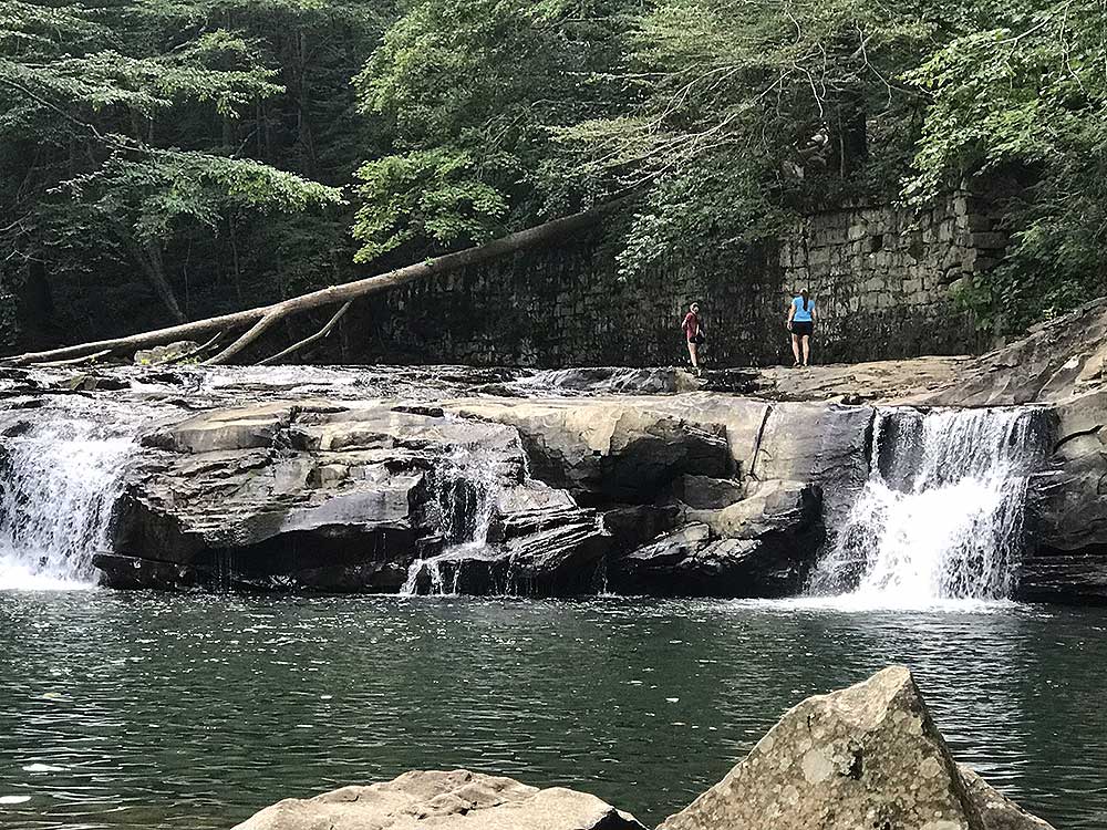
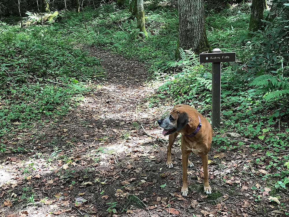
- Mile 4.8 – Cross over Kates Branch. Note: as of this writing, the NPS states that some of the trail has washed out here and could be difficult to cross in times of high water. About 250 feet beyond Kates Branch is a trail sign for the Kates Falls Trail. Take this trail, which leads to a pretty waterfall. (The Glade Creek Trail continues south, passing under a large and high Interstate 64 bridge before coming to another trailhead. This description does not include that portion of trail.)
- Mile 4.9 – The NPS describes the Kates Falls Trail as “strenuous” and “steep,” but it did not seem to be either. (This description probably dates back to when the trail climbed past the falls, but the NPS has decommissioned that portion of trail.) Near the falls the rocks can be slick, so use care, especially if attempting to walk under the rocks to get behind the waterfall.
- Mile 9.8 – Return via the same trail, retracing your steps and arrive back at the parking area.
|

