|
| Length |
Difficulty |
Streams |
Views |
Solitude |
Camping |
| 4.2 mls |
 |
 |
|
|
|
Hiking
Time:
Elev. Gain:
Parking: |
2.5 hrs plus a half hour for lunch
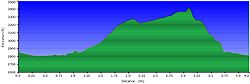
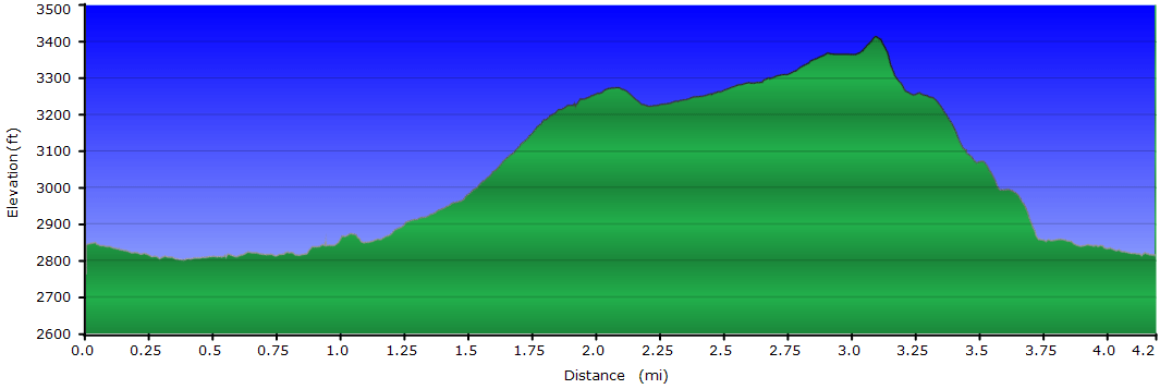
750 ft
 Topo Hike Trails Map and Directions (PDF) Topo Hike Trails Map and Directions (PDF)
Dunmore WV Weather Forecast
Garmin (GDB), Gaia/Trails App (GPX) (What's
this?)
3D
View of Route
|
 By Trail Contributor: Jeff Monroe (Email Jeff) By Trail Contributor: Jeff Monroe (Email Jeff)
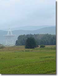
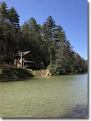
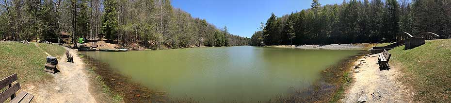
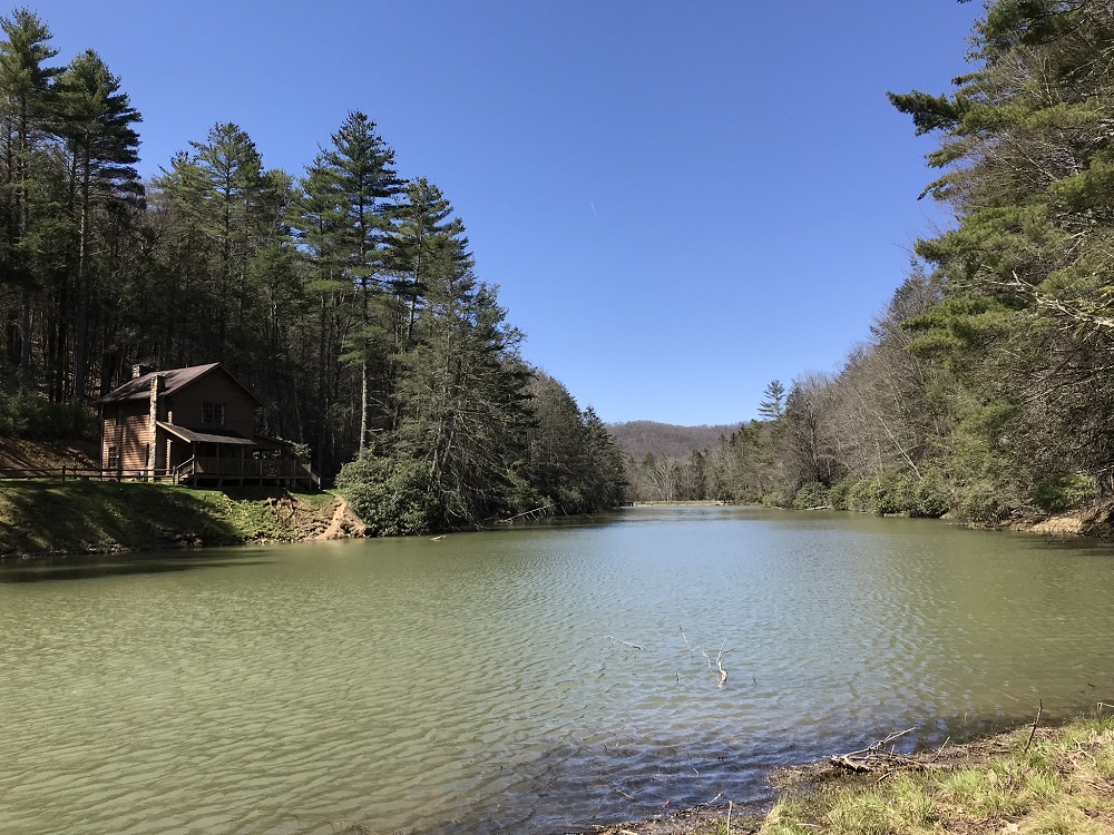
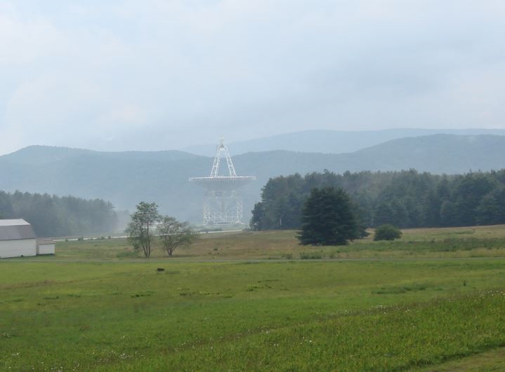
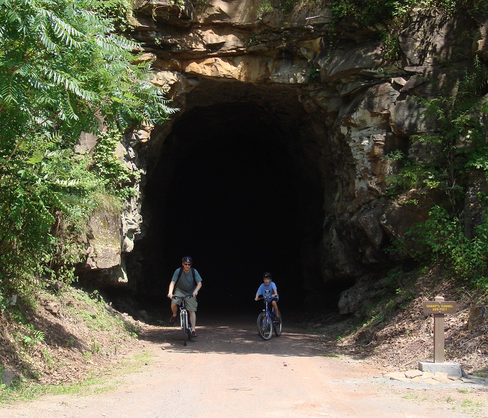
Don’t be fooled by the “State Forest” part of Seneca’s name. Arguably the crown jewel of West Virginia’s state forest system (and West Virginia’s oldest state forest), Seneca is more like a state park. This facility offers many great options in an area under 12,000 acres, including a nice campground, a beautiful lake, rental boats of all kinds, mountain trails, a long distance hiking trail bisecting the park, rental cabins, and even a unique place where you can spend the night. Plus, if you bring a family with children, you can enjoy the fact that this area is near the National Radio Astronomy Observatory, which means absolutely no cell service. Because this is in a “quiet zone,” you can even see real, working pay phones on the drive here – there is one at the park entrance! (Note: you can also obtain a Seneca State Forest Trail Map outside the front door of the headquarters building at the park entrance.) Nearby, you can find train excursions and one of the nation’s best bike trails, the Greenbrier River Trail.
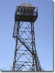
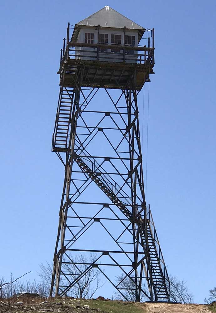
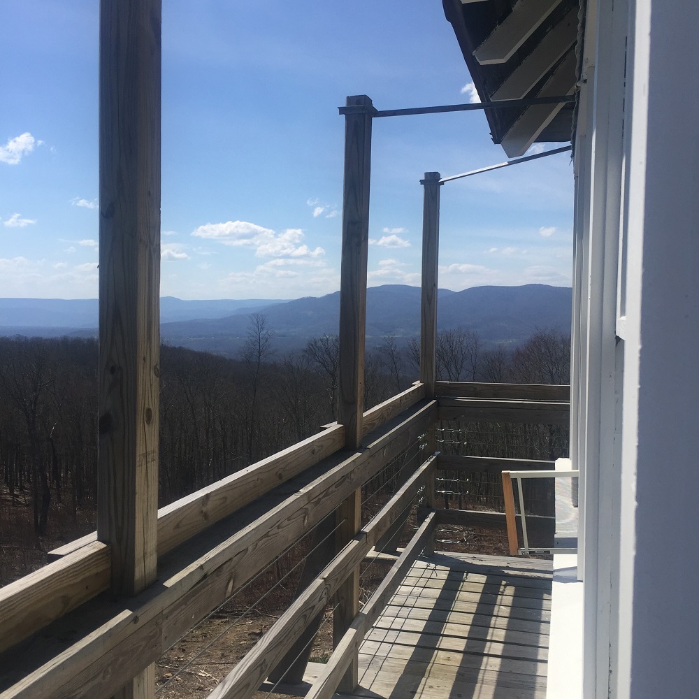
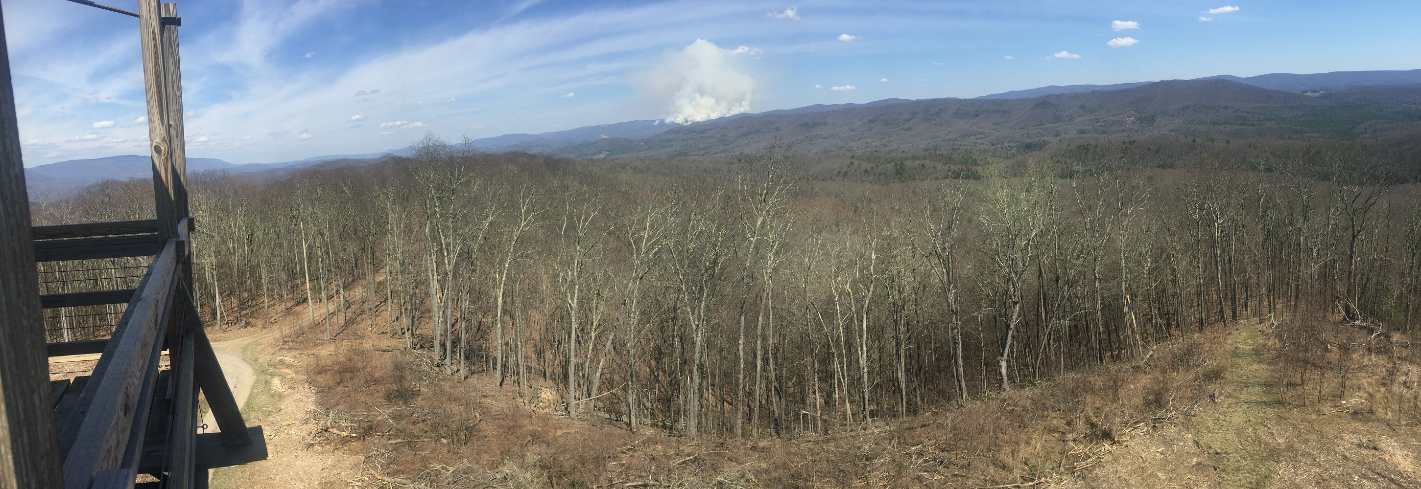
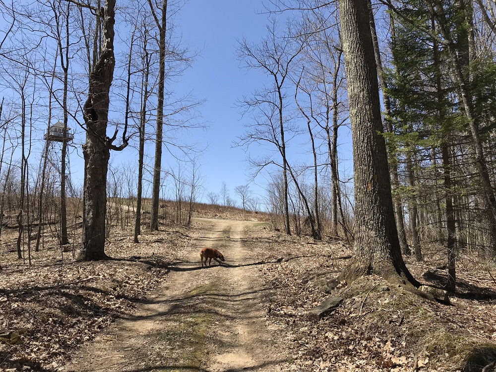
If you can reserve a night there, this loop features a most unusual and spectacular place to sleep. The high point in this loop passes under a converted fire tower with two bunks and the best outdoor porch for miles. It has no electricity (so bring a lantern), and the facilities are way back down on firm ground – a lot of steps from your bed. But the views are unparalleled, and you might even spot a fire in the distance! If you can grab an overnight in the tower, the views on this hike rate five stars.
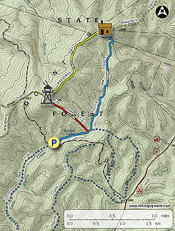
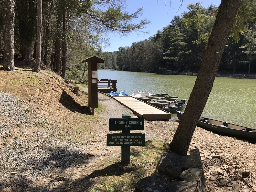
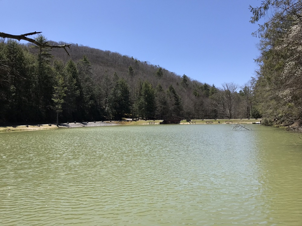
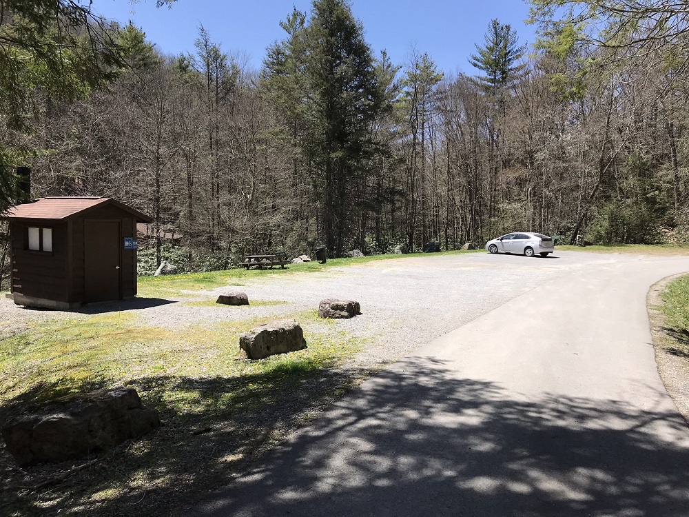
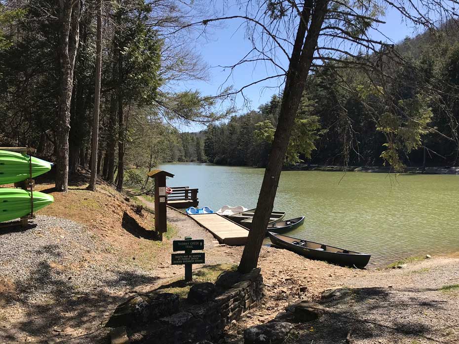
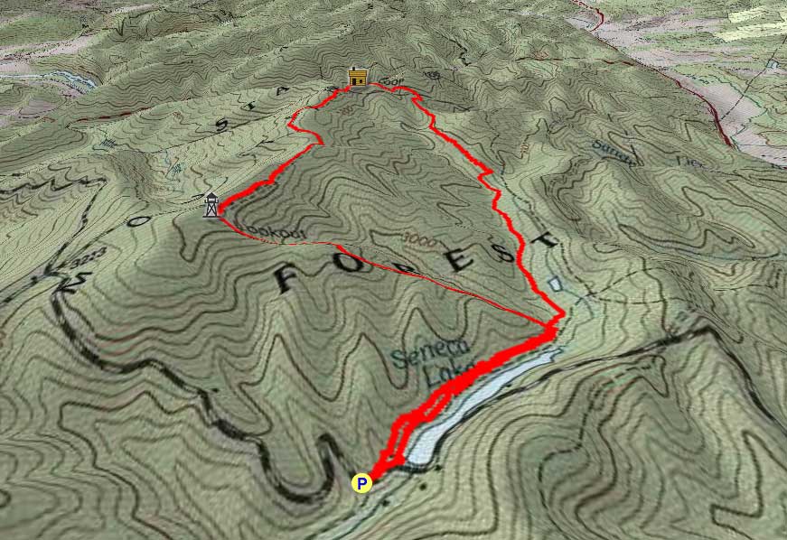
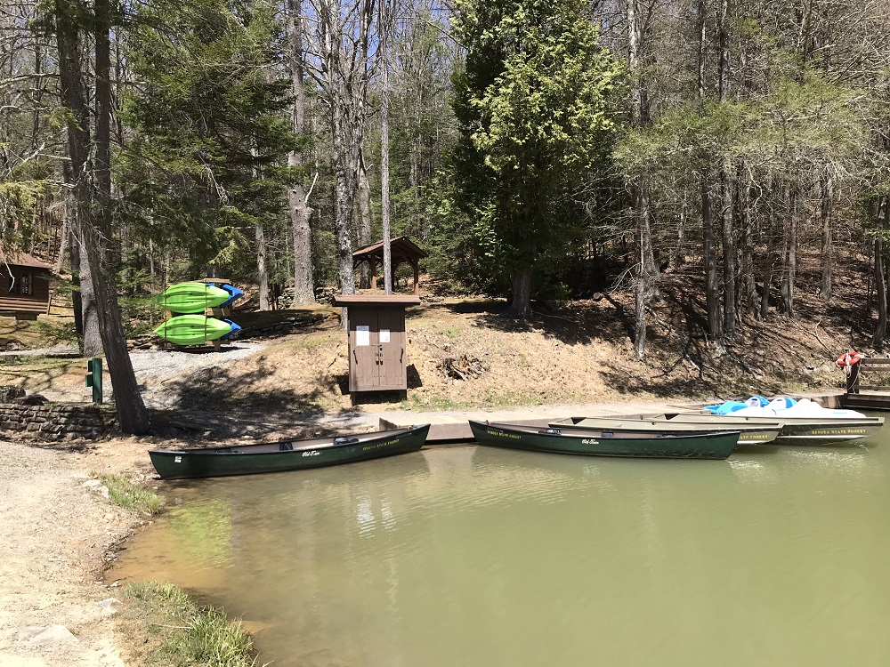
- Mile 0.0 – Once inside Seneca State Forest, follow the main road until you pass over the dam that creates Seneca Lake. Park on the left just after crossing the dam. There is a privy here, along with parking for about eight vehicles. At the far end of the parking lot is a sign for the Thorny Creek Trail. Do not follow this! Instead, head back to the lake. The blue blazed Thorny Creek Trail heads along the north (non-road) side of Seneca Lake, starting where the rental boats are stored.
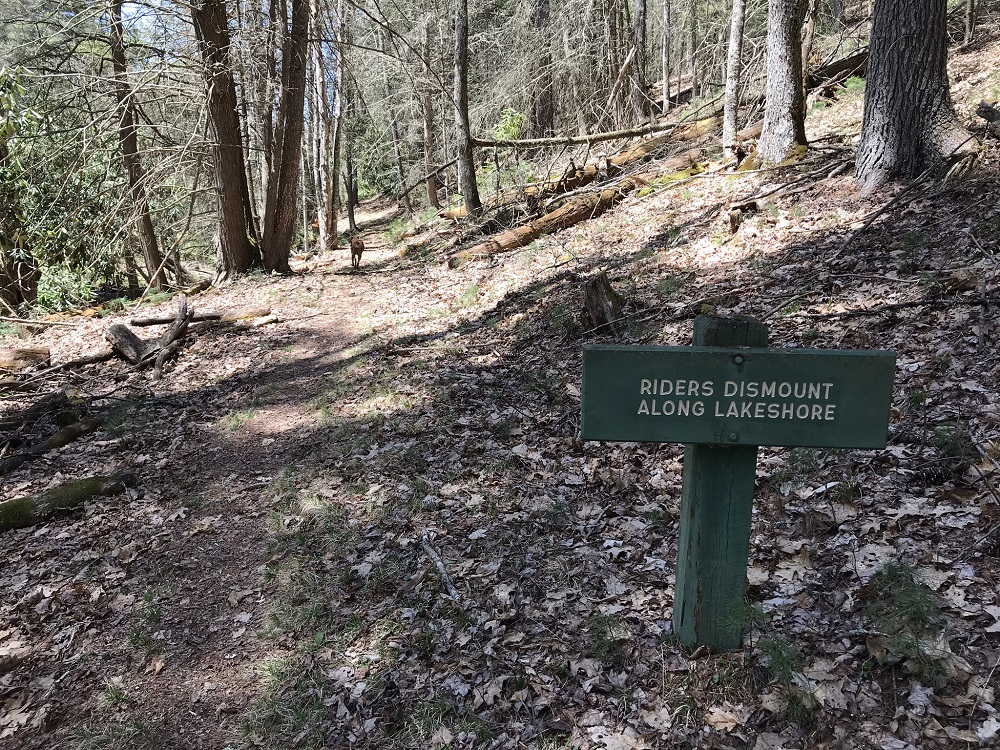
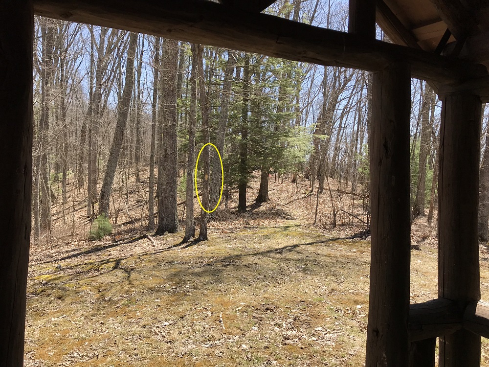
- Mile 0.4 – The Thorny Creek Trail passes the end of the Fire Tower Trail just after you pass a sign facing the other way telling riders to dismount along the lake. The Fire Tower Trail here is virtually invisible, but that is OK, as you do not want to ascend on the Fire Tower Trail. Check out the elevation profile – this trail has an elevation change that is between a 25 percent and 35 percent grade – exceptionally steep. Instead, stay on the Thorny Creek Trail and save the Fire Tower Trail for your descent.
- Mile 0.5– Intersect with the Hill Top Trail, which heads east to the campground and the park headquarters. (There are no campsites along the trail.) Stay on the Thorny Creek Trail.
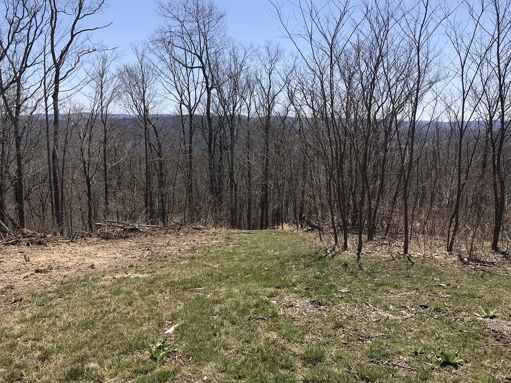
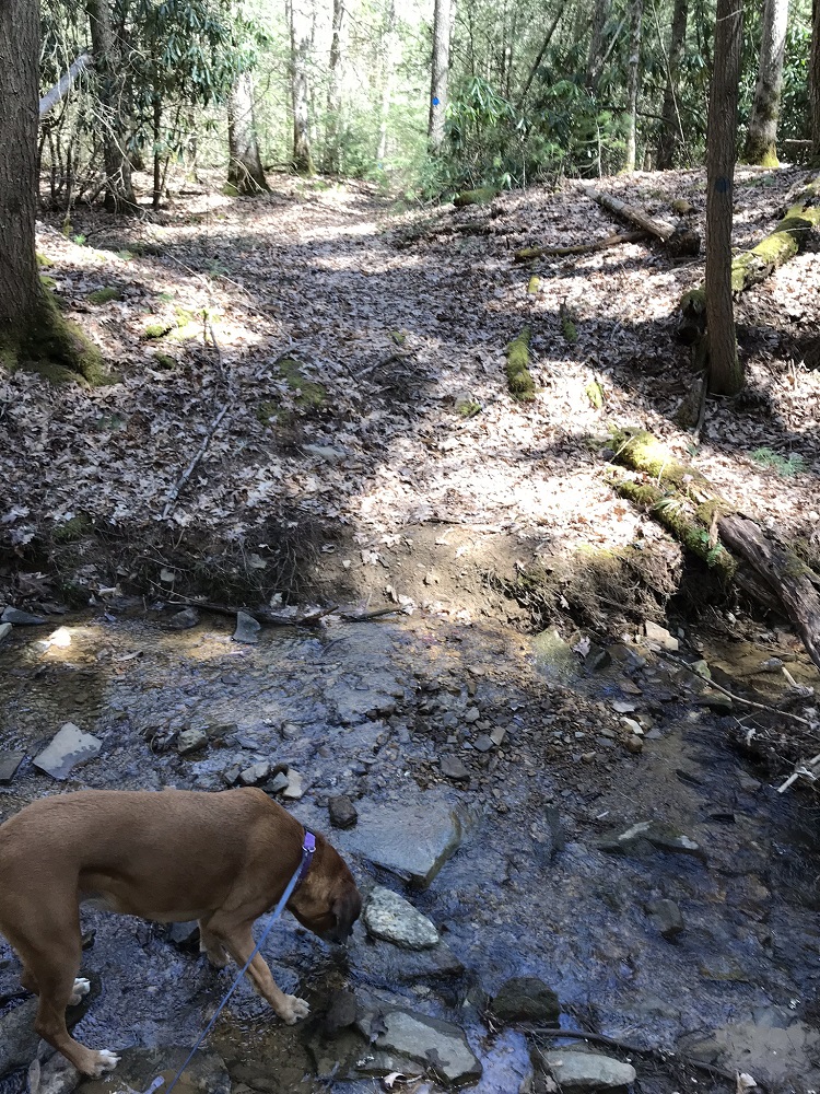
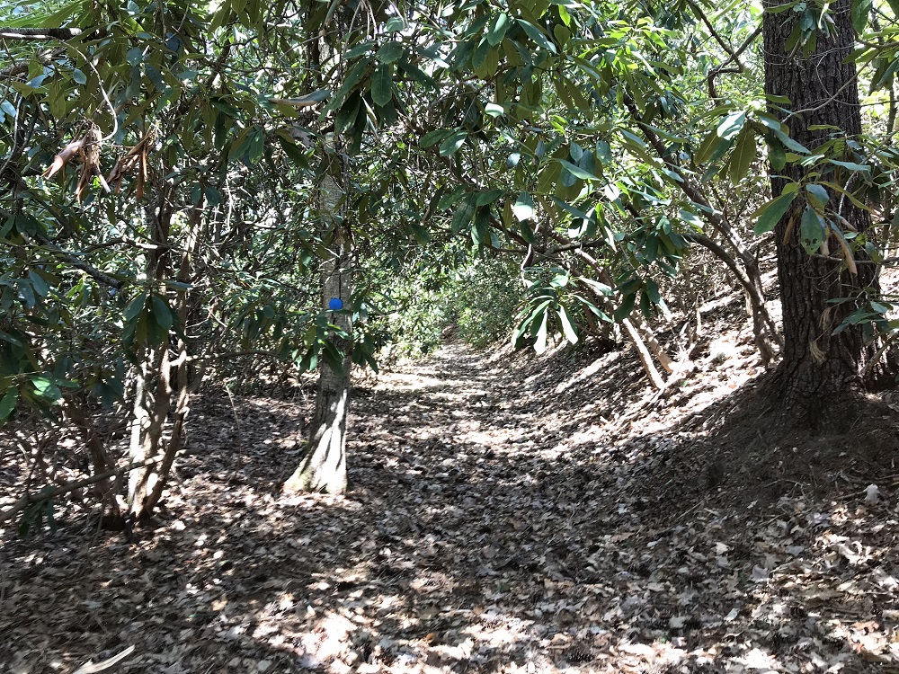
- Mile 1.1 – The trail crosses several feeder streams to Little Thorny Creek before crossing the main stream and continuing in a green tunnel of Rhododendron.
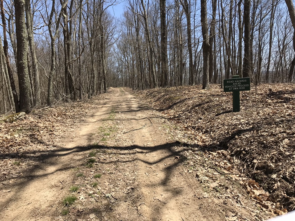
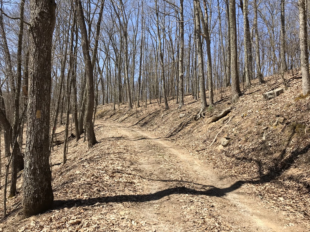
- Mile 1.7 – Ascend and turn left onto the Loop Road, a seldom used park road (perhaps because of this sign). The road climbs somewhat steeply.
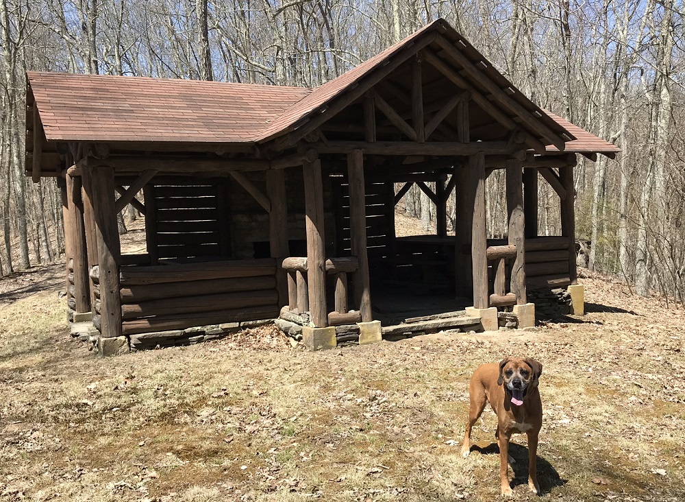
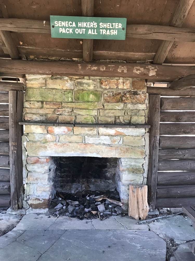
- Mile 1.9– On your right is a sweet little trail shelter, complete with a couple of picnic tables and a fireplace. This does not appear to be designed for overnights, but only for picnicking. This shelter is on the Allegheny Trail, a 300+ mile trail that winds through West Virginia. The yellow blazed trail heads north from the shelter on a singletrack. The Thorny Creek Trail ends here, and this loop continues on the loop road, which is also blazed yellow as part of the Allegheny Trail.
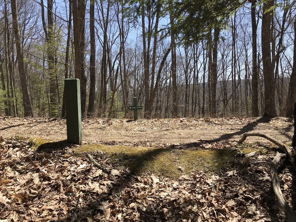
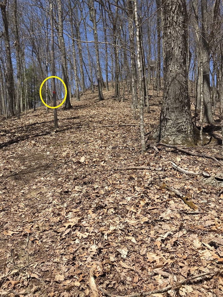
- Mile 3.1 – At a road split, the Allegheny Trail goes right. You will want to take the road left uphill to the base of the Thorny Mountain Fire Tower (elevation 3458). Parking and facilities here are for tower renters, as are the views from the stairs. You can reserve a night by calling West Virginia State Parks at (304) 799-6213 or 1-800-CALL-WVA. If you are just hiking, respect the privacy of those staying here and pass through only to look for the Fire Tower Trail. This trail starts as a wide grass cut to the left of the tower and then descends steeply, marked with red squares on the old utility poles that no longer service the fire tower.
- Mile 3.7 – Return to the Thorny Creek Trail and turn left to walk along Seneca Lake back to your vehicle.
- Mile 4.2 – Reach your vehicle. This is one of several loops that can be found in Seneca State Forest, so if there is time, consider additional hikes.
|


