-
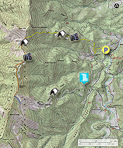
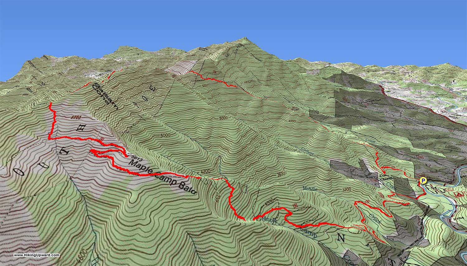
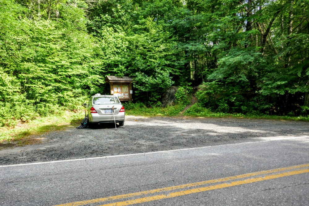
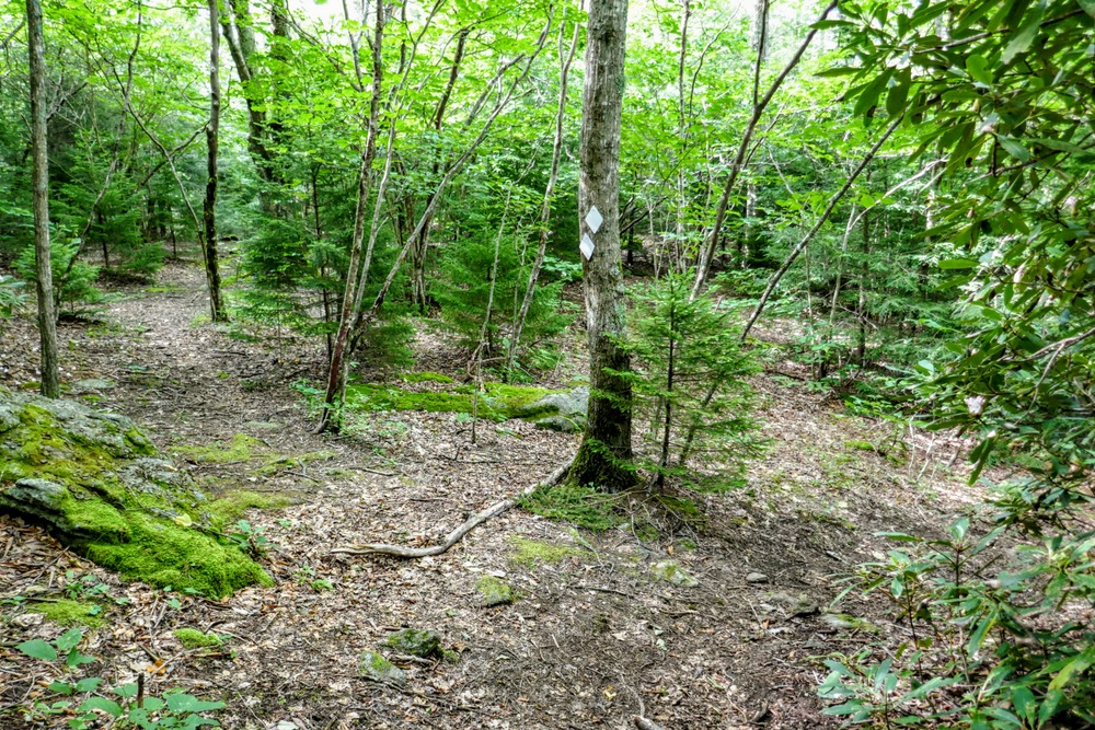
Mile 0.0 – Park at the Colbert Ridge Trailhead on Rock Creek Road. (This is also simultaneously labelled as Colbert’s Creek Road on Google Maps.) Follow the Colbert Ridge Trail [178] (yellow blaze) on the right side of the trailhead kiosk.
-
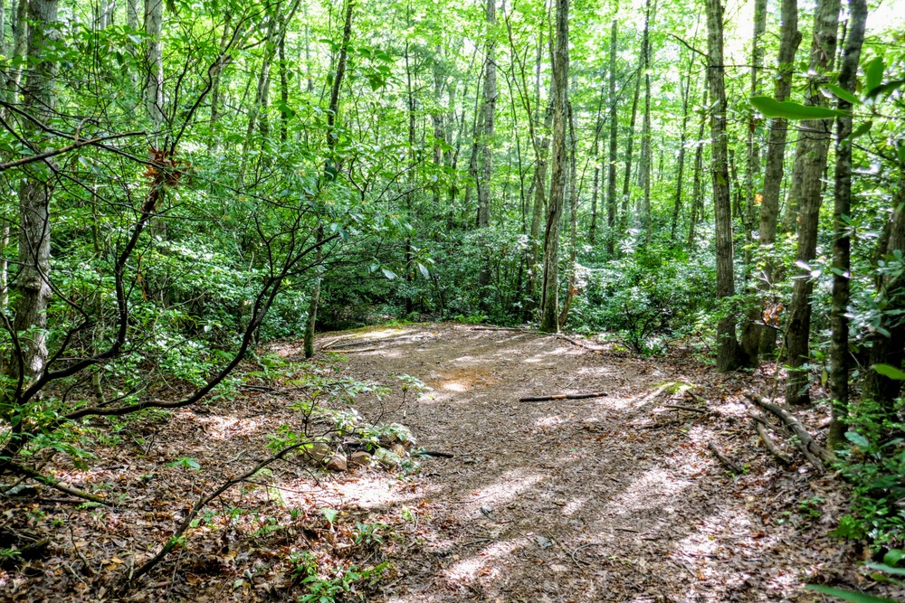
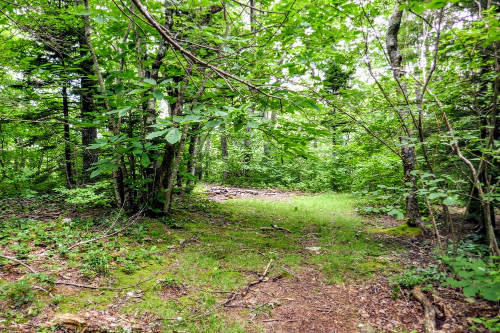
Mile 0.1 – Pass by a series of campsites on the right side of the trail.
-
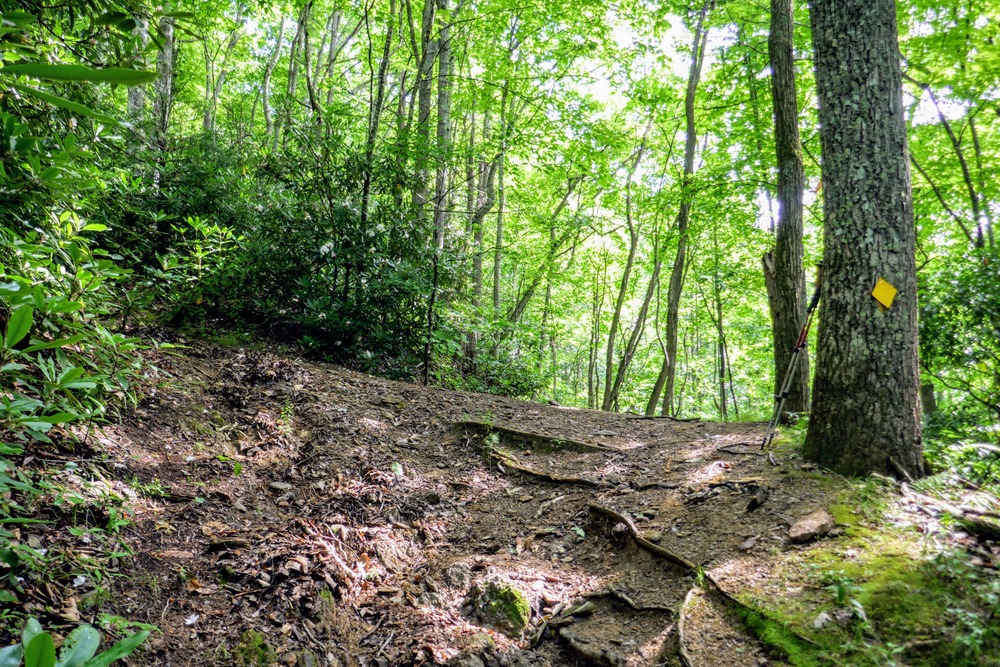
Mile 0.9 – Turn left at a T-junction with an unmarked manway. The trail climbs steeply towards Colbert Ridge after this junction.
-
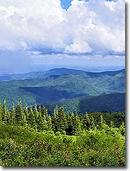
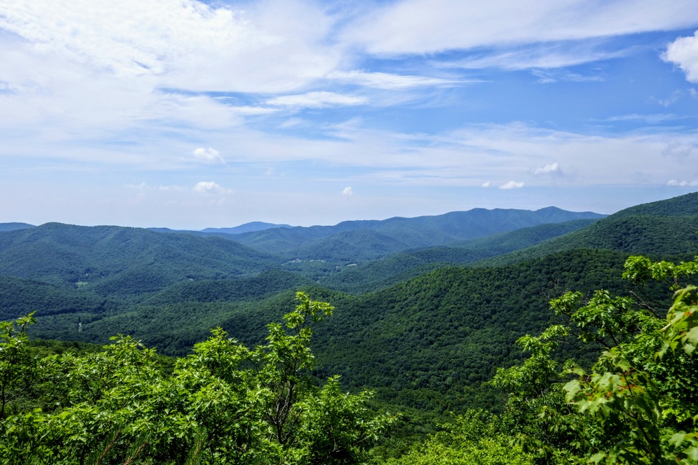
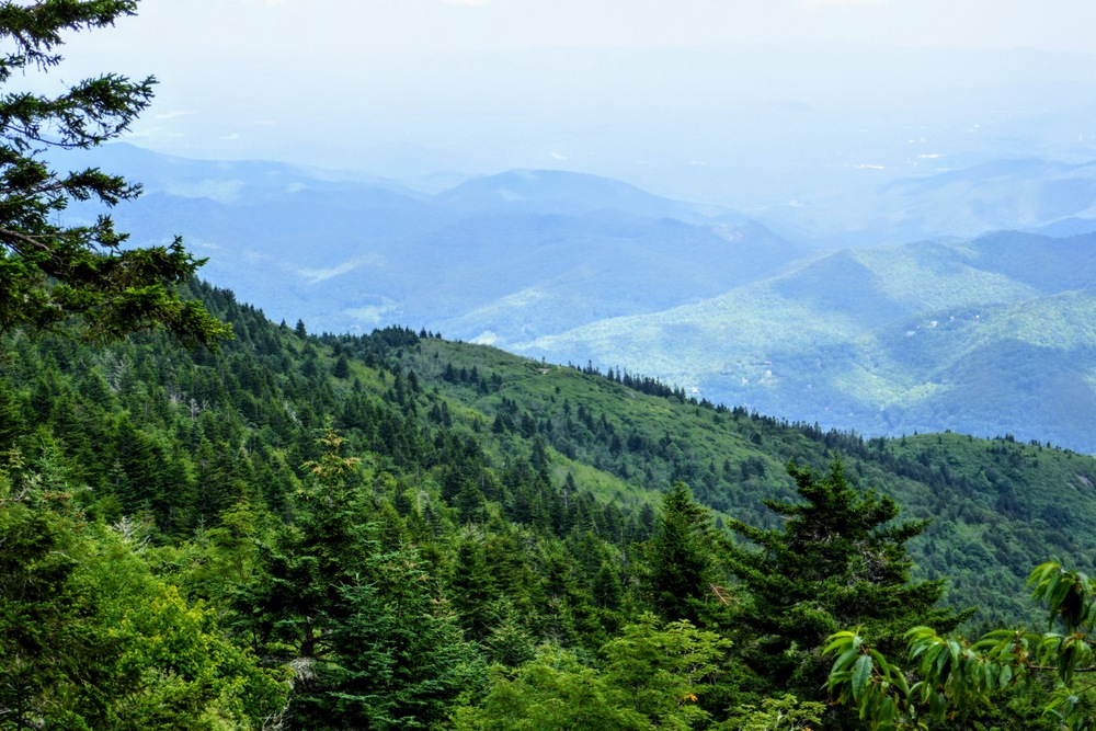
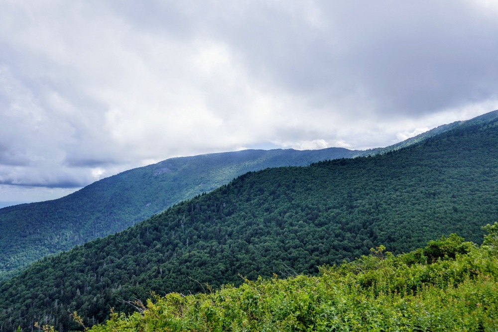
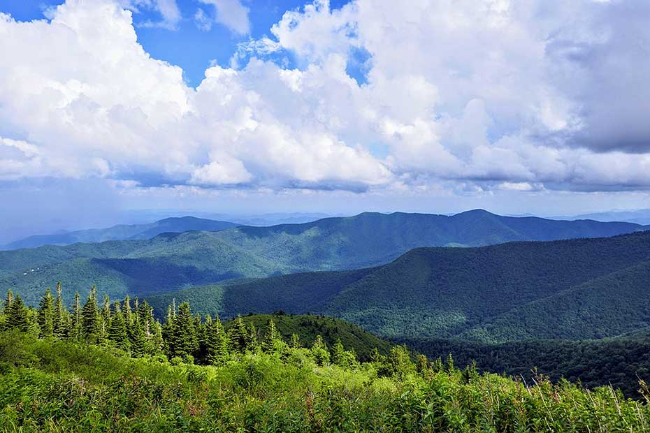
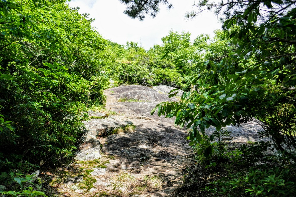
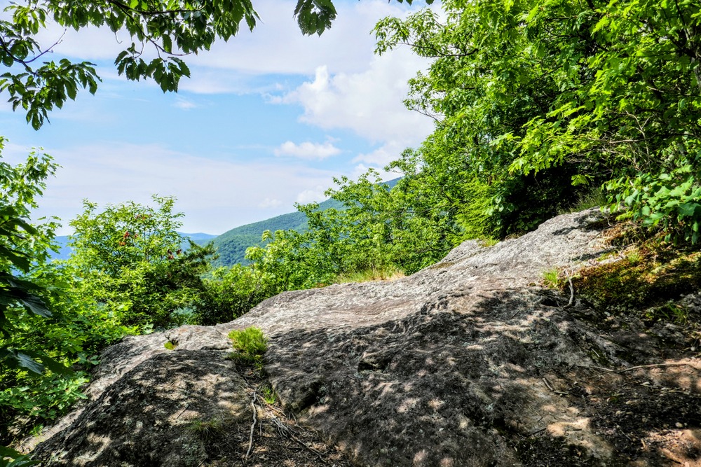
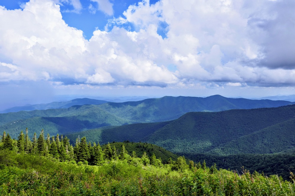
Mile 2.0 – The trail crests the first of two prominent rocky knobs on Colbert Ridge. The rock face offers decent views northeast of the Unaka Mountains and Blue Ridge Escarpment beyond the South Toe River valley.
-
Mile 2.1 – The upper of the two rocky knobs on Colbert Ridge offers an excellent view southeast of the peaks surrounding the South Toe River valley, including Green Knob in the distance and Middle Ridge rising high above Colbert Creek.
-
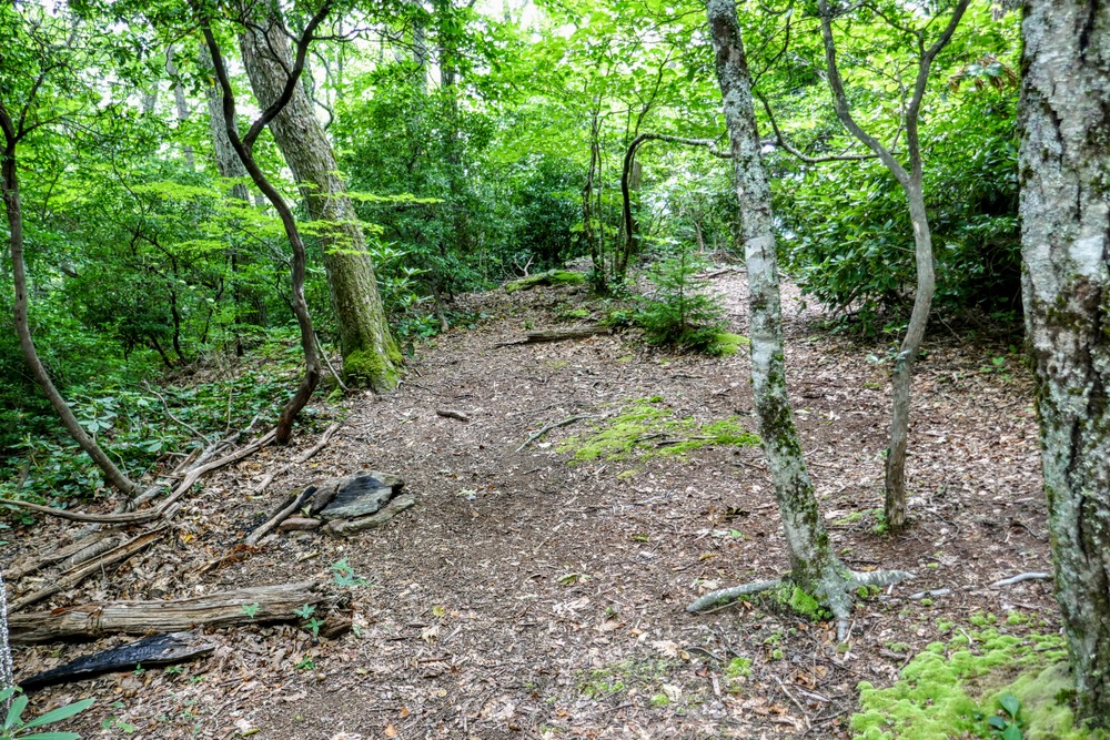
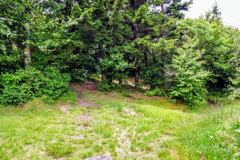
Mile 2.3 – The gradient lessens above the second rocky knob. You will pass the occasional campsite beside the trail.
-
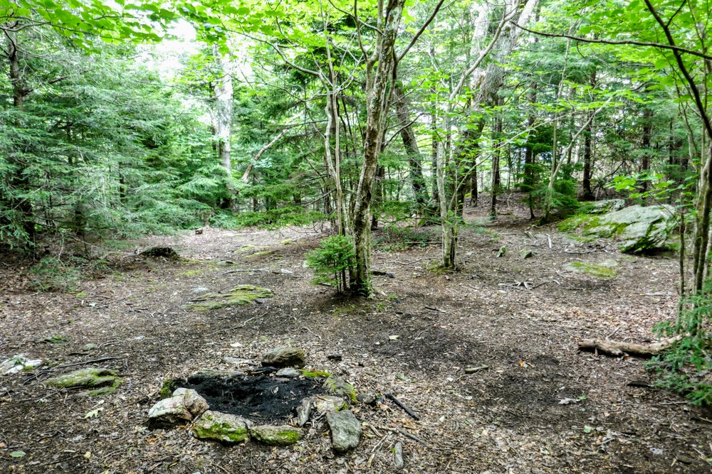
Mile 2.6 – T-junction with a connector to FR 239 on the right side of the trail beside a large campsite.
-
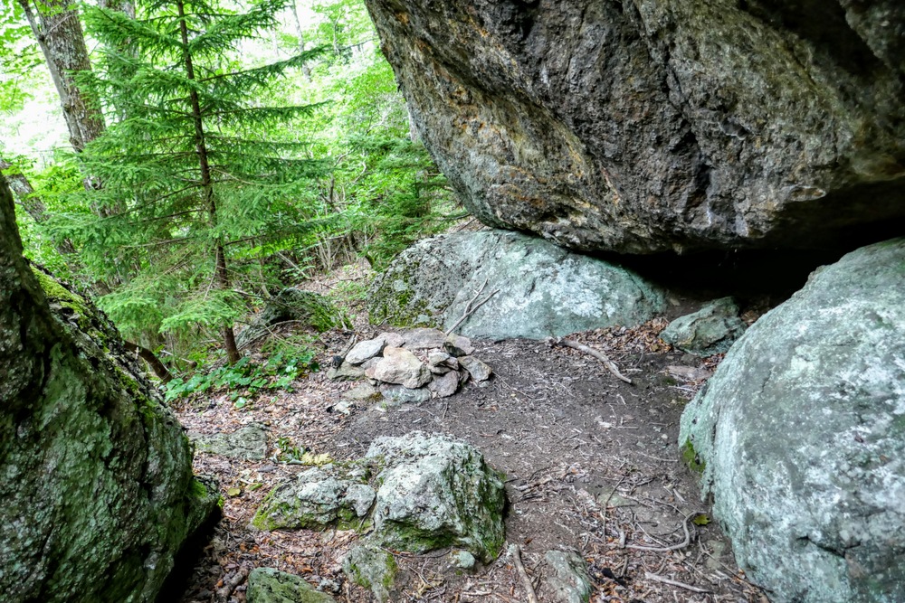
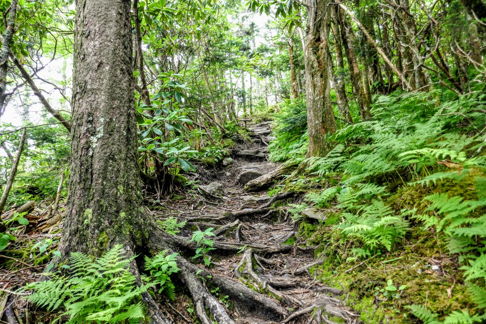
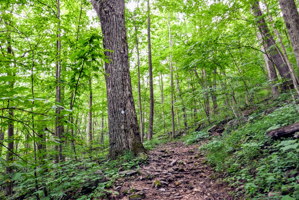
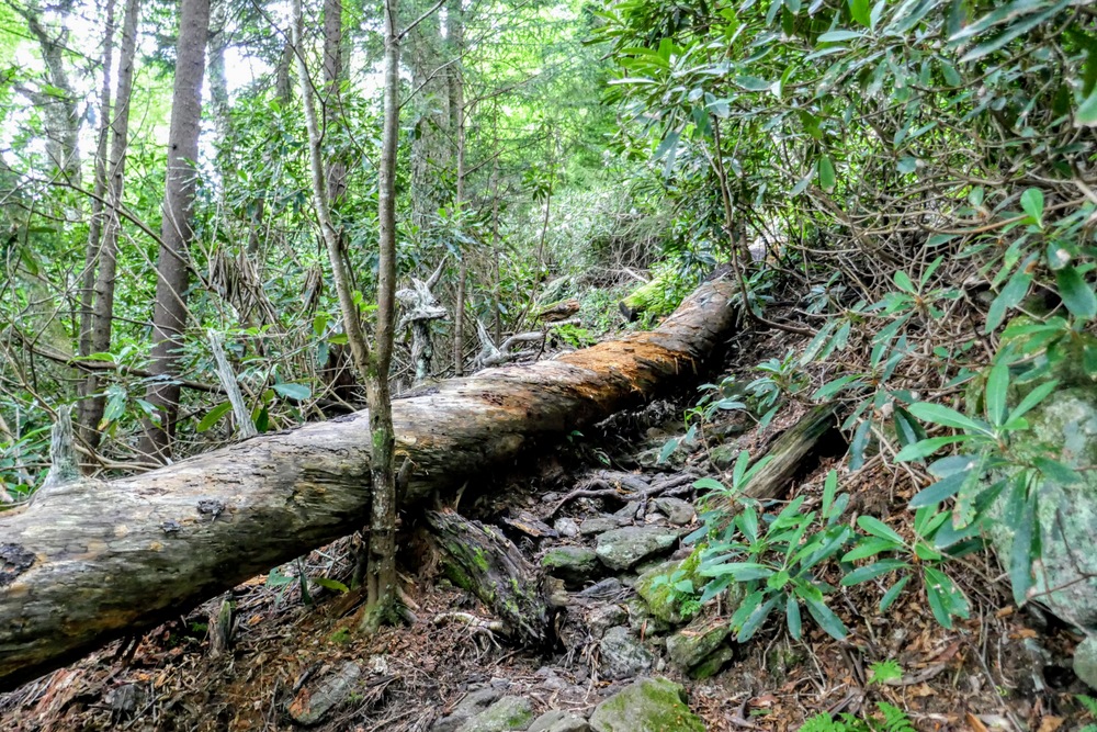
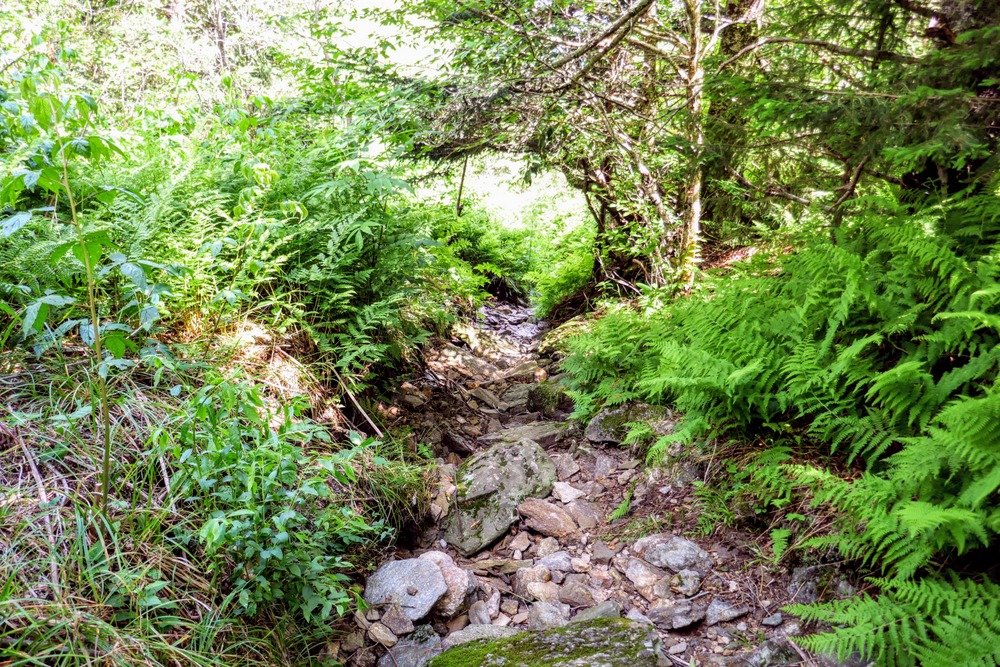
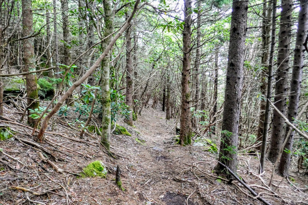
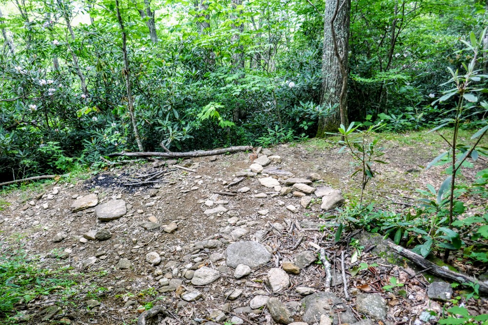
Mile 3.0 – Large rock overhang below the left side of the trail with small sheltered campsites. The trail condition quickly deteriorates as it climbs steeply around the southern flank of Winter Star Mountain to reach Deep Gap.
-
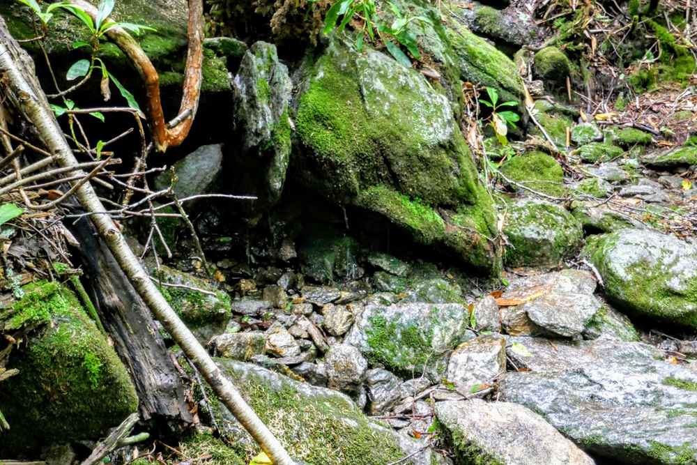
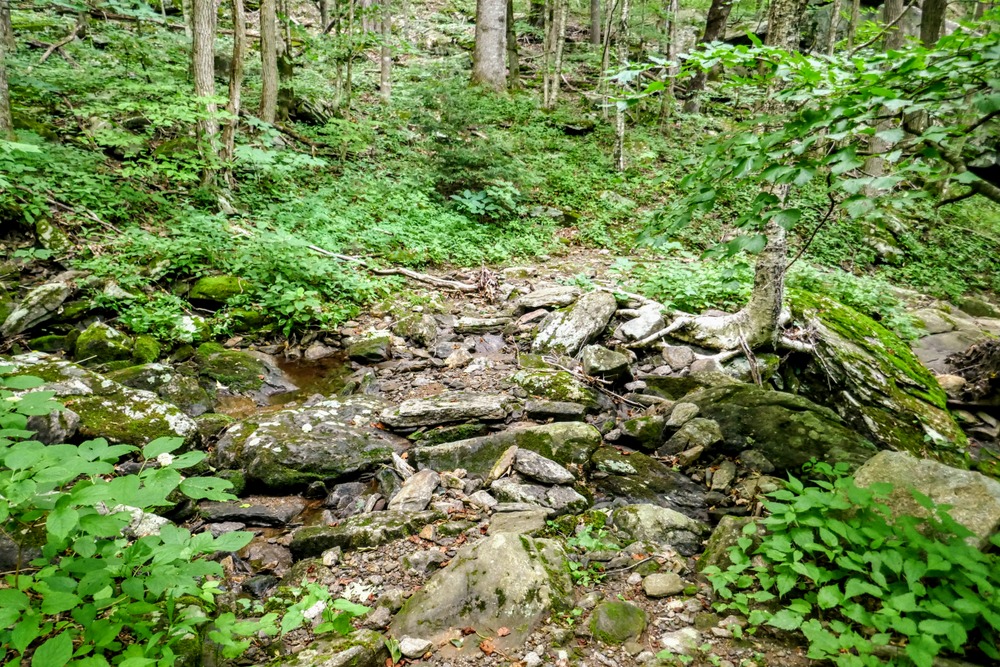
Mile 3.6 – Very small spring on the trail. This is the spring typically cited by blogs and books as the water source for camping at Deep Gap. It is not reliable and is barely more than a trickle in the summer.
-
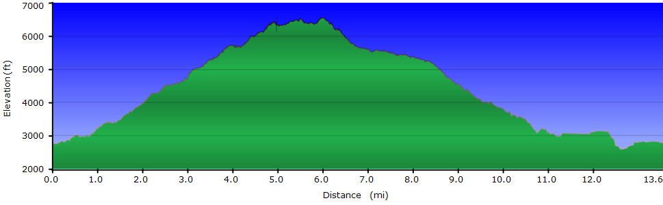
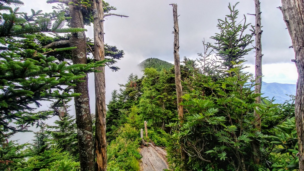
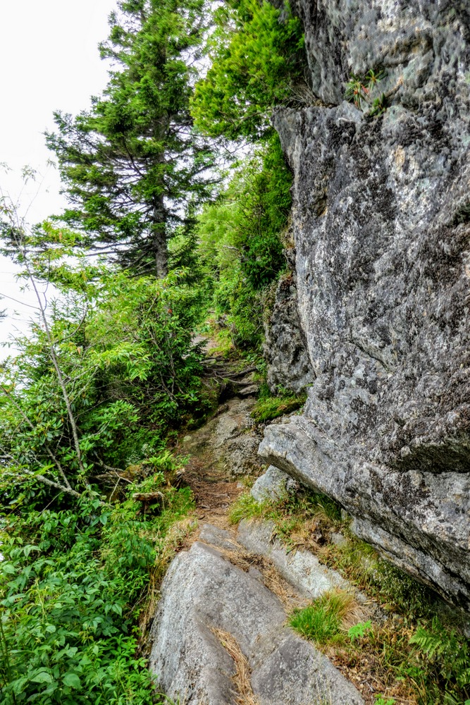
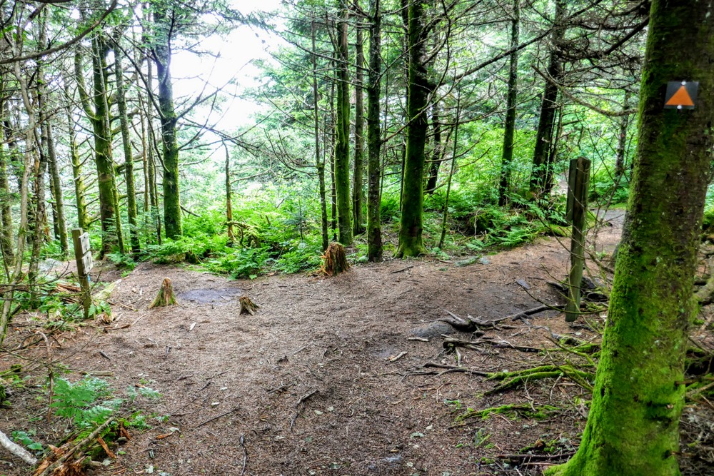
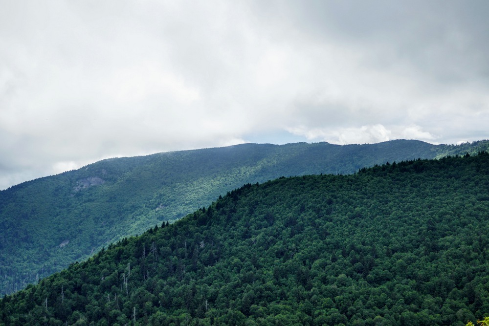
Mile 3.9 – Colbert Ridge Trail ends at a T-junction with the Black Mountain Crest Trail [179] (orange blaze) at Deep Gap. Turn left following the Black Mountain Crest Trail (BMCT) south. First, you will encounter a rock outcrop on the left with a preview of your upcoming climb to Potato Hill.
-
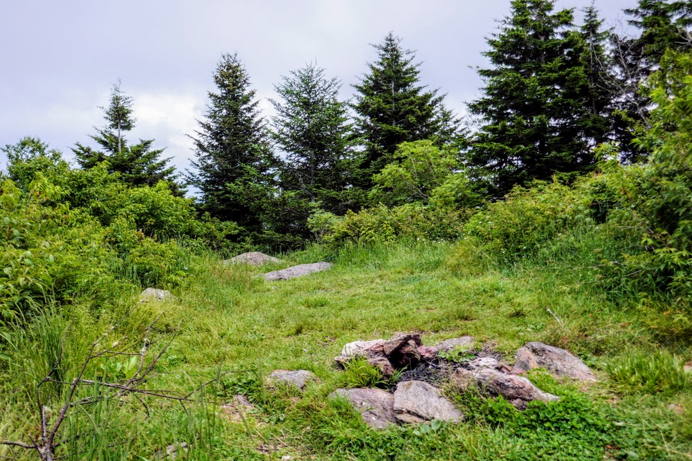
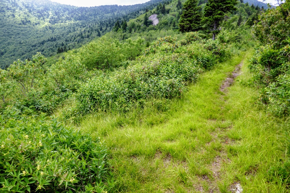
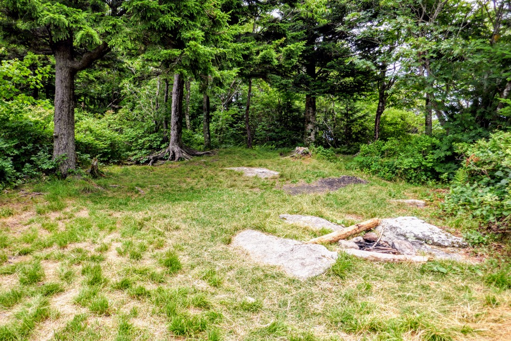
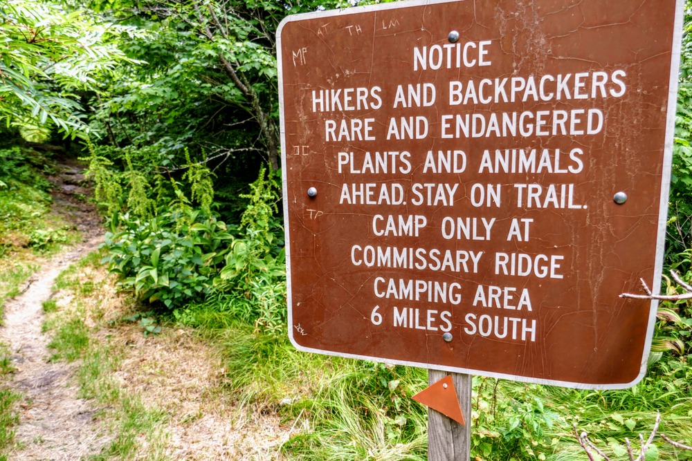
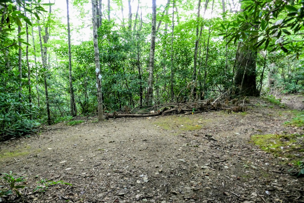
Mile 4.1 – There are two excellent grassy campsites on the south side of Deep Gap. Between the first and second campsite is a Y-junction with a forest road connector to Winter Star Road on the right. Then you will pass by the second grassy campsite beside a sign indicating this is the last legal area to camp before entering the state park.
When you enter the state park this trail is listed as the Deep Gap Trail on older park maps and in most guidebooks. From Deep Gap the trail climbs over 700 feet in 0.8-mi entering the heights of the central Black Mountains.
-
Mile 4.8 – Pass below cliffs on the right side of the trail with eastern views.
-
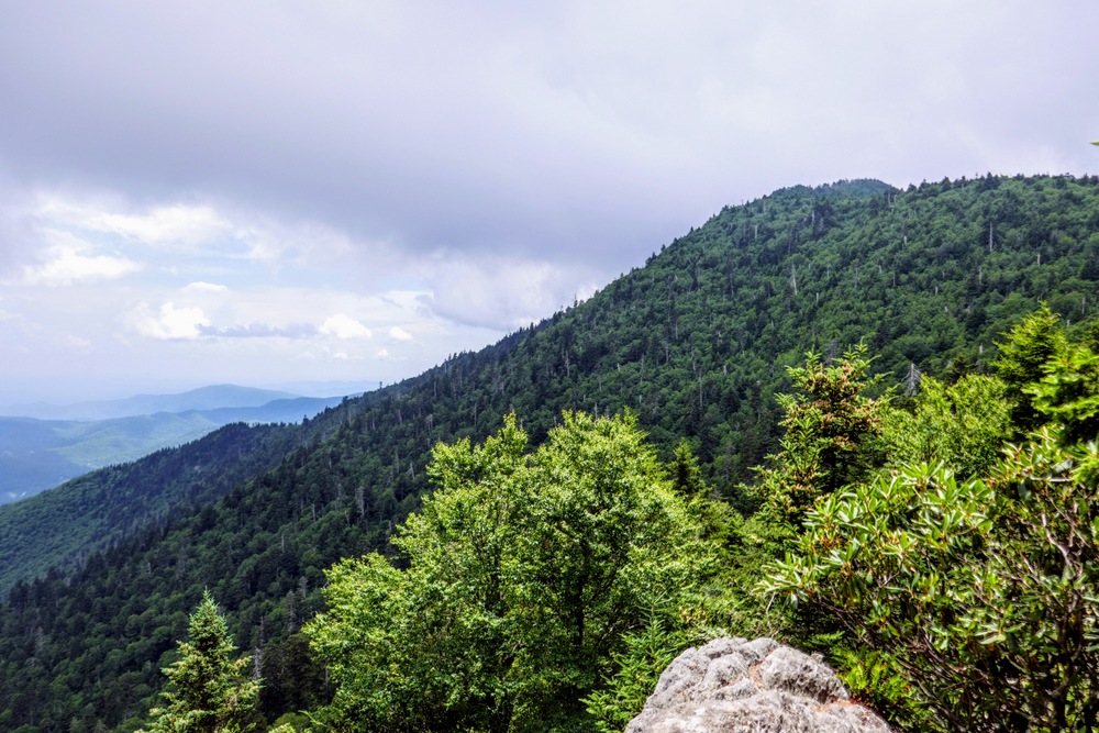
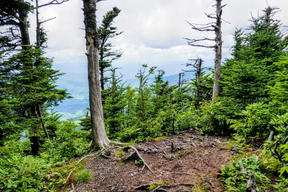
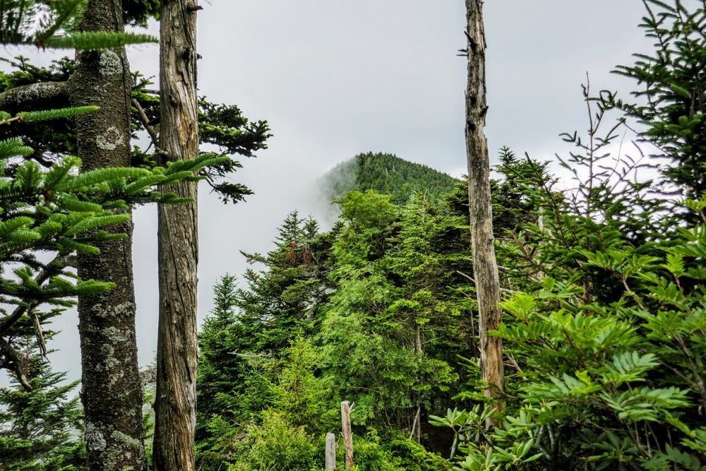
Mile 4.9 – Potato Hill summit (6,475 feet) just above the trail with views through sparse tree cover. As you continue south below the summit you will have views through the trees of Cattail Peak. The BMCT descends very steeply from Potato Hill requiring all four limbs in multiple spots.
-
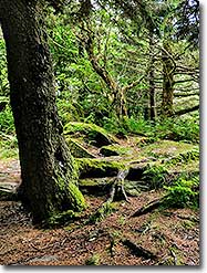
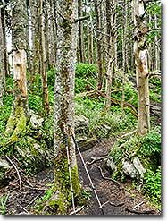
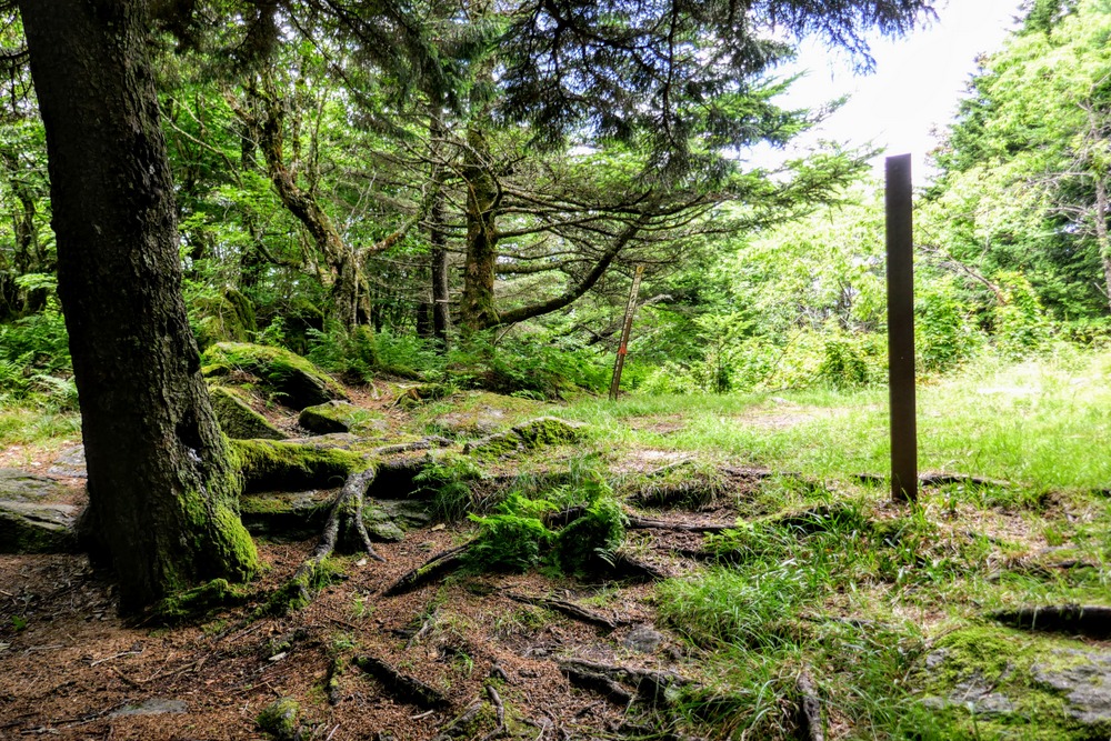
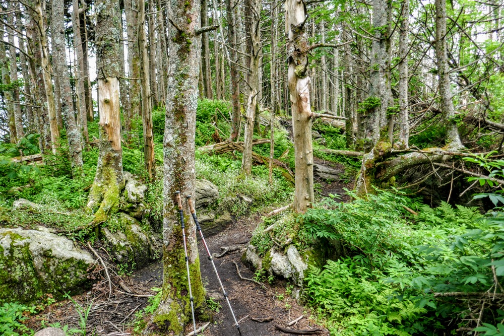
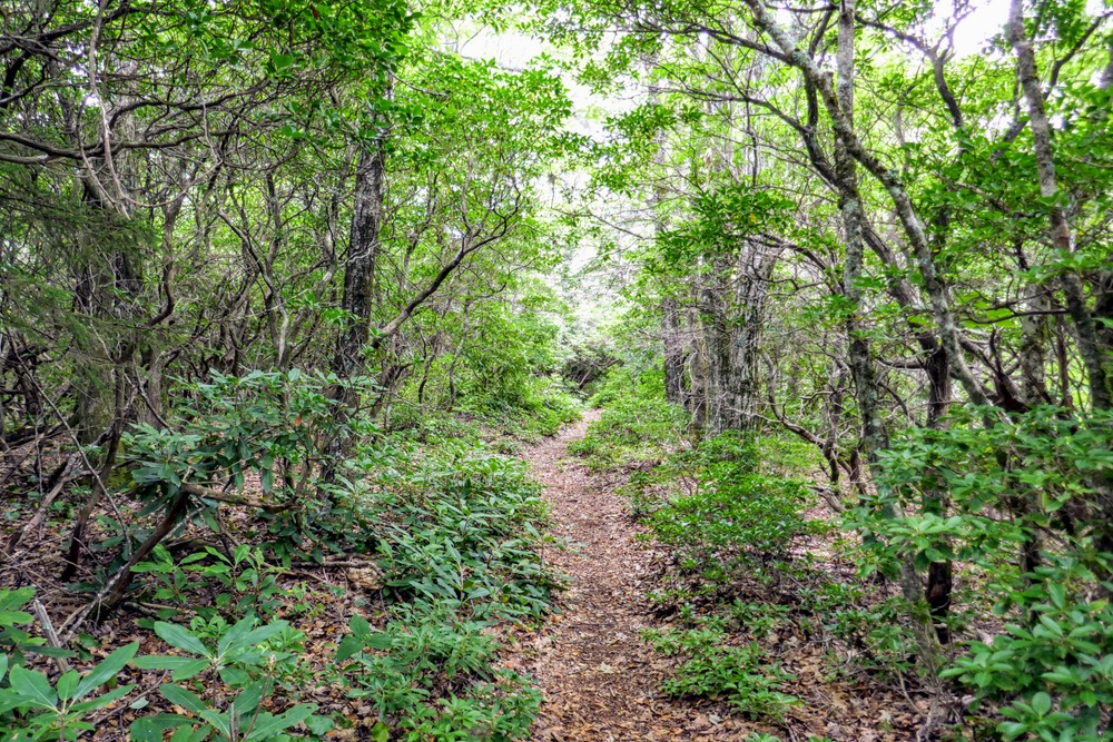
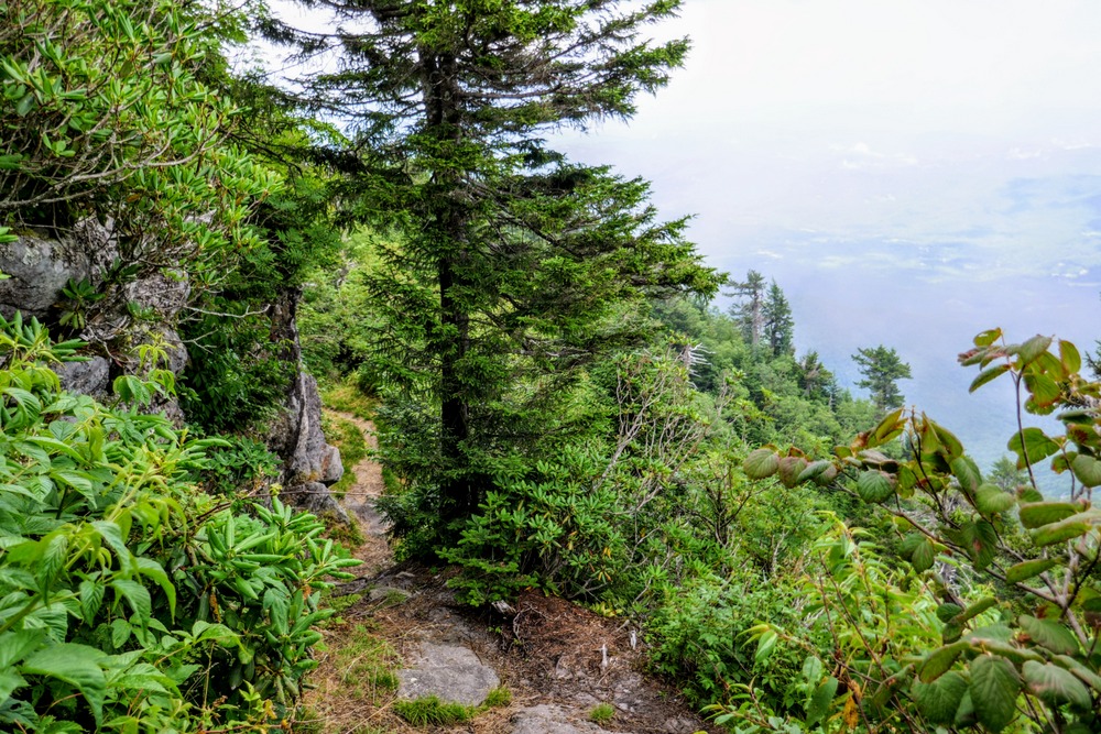
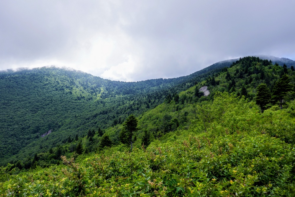
Mile 5.0 – Enchanted forest in a shallow saddle between Cattail Peak and Potato Hill. The BMCT swings around the west side of Cattail Peak avoiding the summit. You will be hiking through a beautiful stretch of southern Appalachian spruce-fir forest.
-
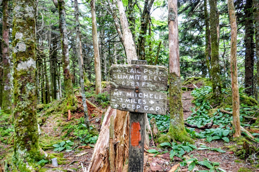
Mile 5.5 – A sign falsely indicates the summit of Cattail Peak. The true summit requires a 900-foot bushwhack north of this spot.
-
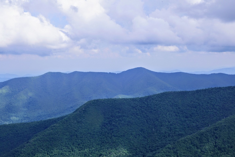
Mile 6.0 – Cross the summit of Balsam Cone (6,620 feet) and descend towards Big Tom Gap.
-
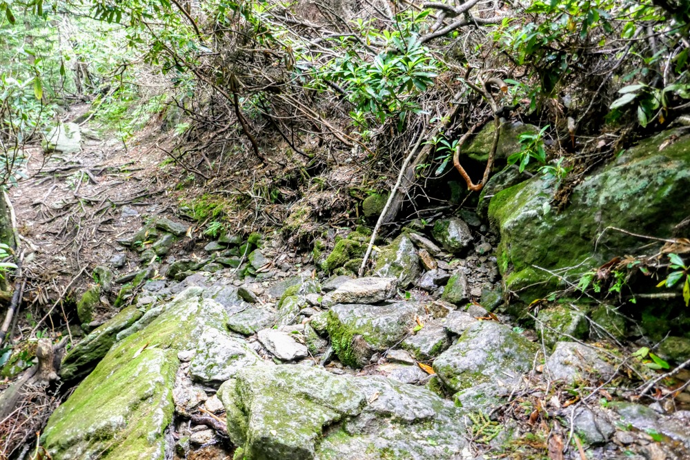
Mile 6.3 – T-junction with the Big Tom Gap Trail [191A] (blue blaze) in Big Tom Gap. The next 0.4-mi is amongst the steepest and most hazardous descents in the entire Black Mountains. The trail descends through a rocky erosion gully filled with slippery boulders and often obscured by tall grasses in the summer. You will need to be cautious on the descent, especially when it is wet. You will have occasional views of Maple Camp Bald below to the east.
-
Mile 6.7 – Big Tom Gap Trail ends at a T-junction with the Buncombe Horse Range Trail [191] (white blaze). Turn left on the Buncombe Horse Range Trail (BHRT) which immediately crosses over the headwaters of Thee Creek. If you are camping at Maple Camp Bald this is your water source.
-
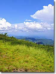
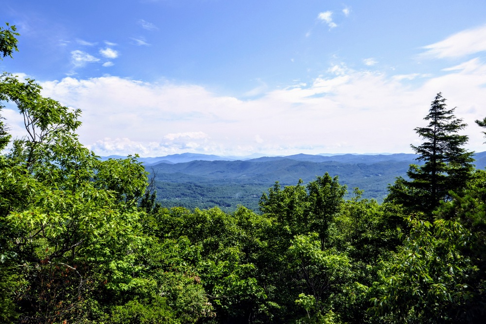
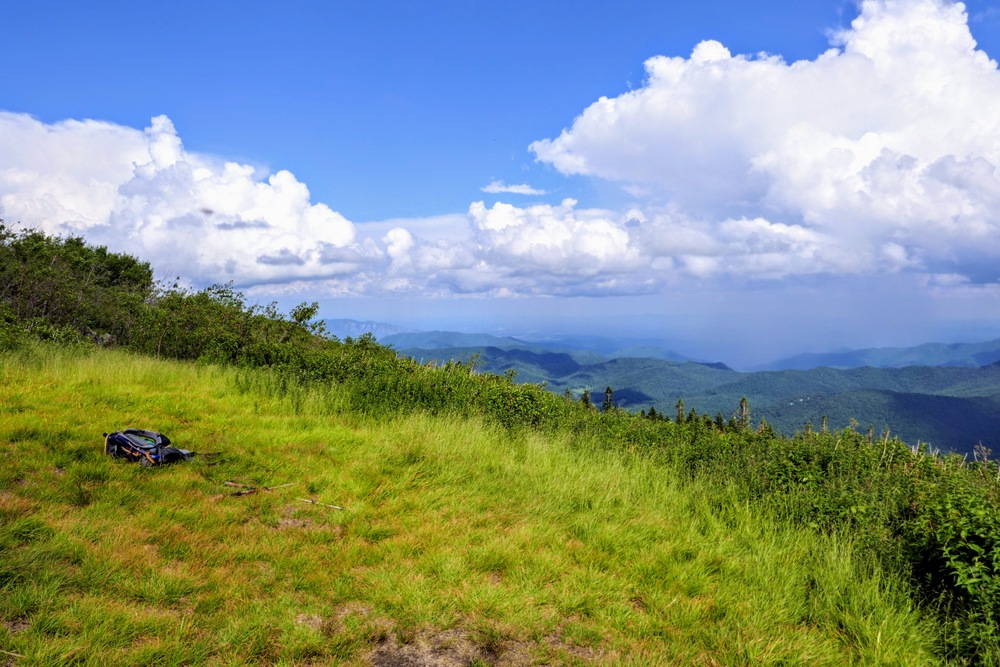
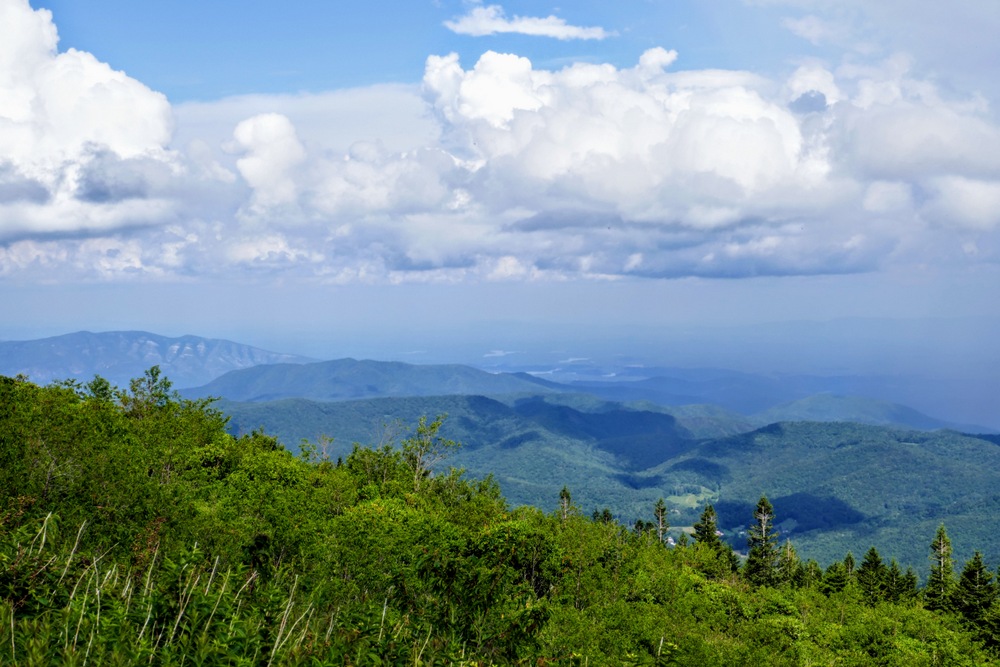
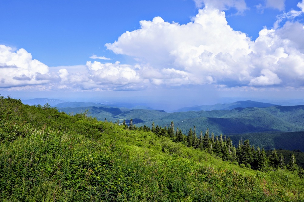
Mile 7.3 – Reach Maple Camp Bald, a 5,613-foot grassy pinnacle on the eastern side of the central Black Mountains. This bald offers expansive camping opportunities and has panoramic views east and south of the South Toe River valley. Towards the east beyond the Blue Ridge Parkway are the bare cliffs of Bald Knob and Dobson Knob, Lake James, and the South Mountains rising above Morganton. Towards the south high peaks surround the headwaters of the South Toe River, including Green Knob. Mount Mitchell is the high point of the nondescript crest southeast above Fork Ridge. You may be able to pick out the summit area by reflections from the buildings and cars. Looking back to the west, Big Tom and Balsam Cone rise above Big Tom Gap with Thee Creek draining the east side of the crest.
When you are ready to continue, look for the Y-junction at the beginning of the bald and turn left. This first half-mile of trail below Maple Camp Bald is overgrown but it opens up after the first switchback.
-
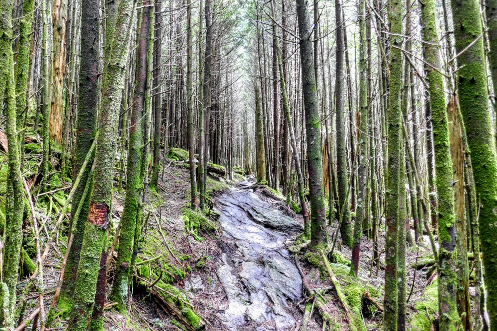
Mile 8.4 – Begin descending on a series of tight switchbacks through conifer forests.
-
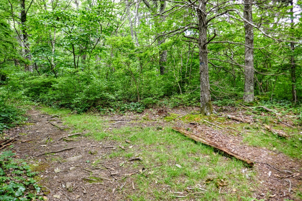
Mile 8.9 – Turn right at a flat area with large campsites.
-
Mile 9.6 – Turn left at a T-junction with a rough forest road grade, which the BHRT begins following northeast.
-
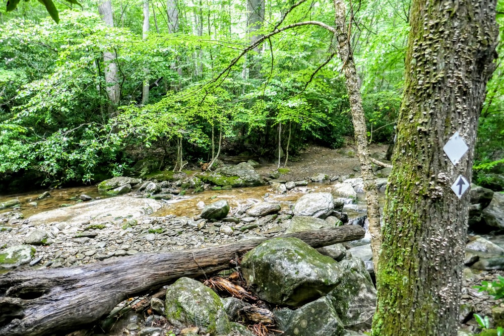
Mile 9.7 – Rock hop Maple Camp Creek. As you descend beside Maple Camp Creek you will pass the occasional old-growth hardwood tree.
-
Mile 11.2 – Turn left at a T-junction with a connector to Simmons Cemetery.
-
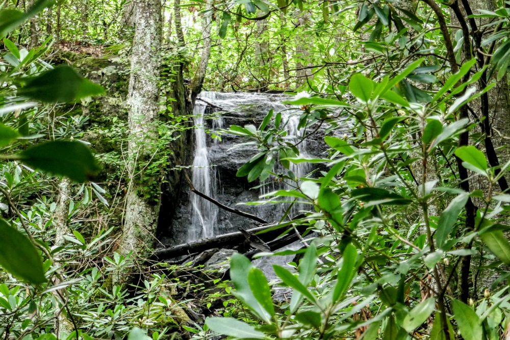
Mile 11.4 – A small waterfall is located on an unnamed tributary upstream from the trail.
-
Mile 11.7 – Rock hop (or wet ford in higher water) Middle Creek.
-
Mile 12.4 – T-junction with FR 5523 on the left. Continue straight on the BHRT which follows FR 5523 to the trailhead.
-
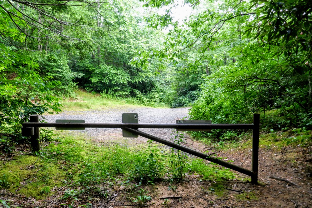
Mile 12.9 – Buncombe Horse Range Trailhead parking and gate.
-
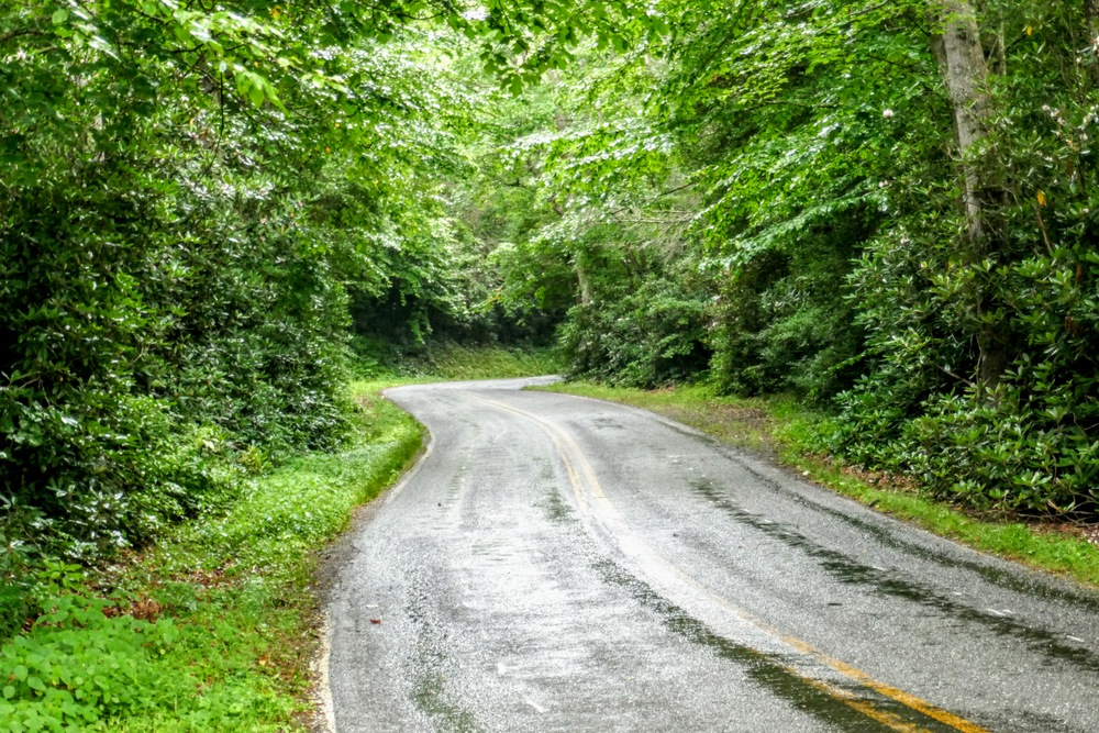
Mile 12.95 – FR 5523 ends at Colberts Creek Road. The alternative parking for this hike is on the opposite side of the road. Turn right following Colberts Creek Road.
-
Mile 13.1 – Turn left on Rock Creek Road.
-
Mile 13.6 – Hike ends at the Colbert Ridge Trailhead.

