|
| Length |
Difficulty |
Streams |
Views |
Solitude |
Camping |
| 13.3 mls |
 |
 |
 |
|
|
Hiking
Time:
Elev. Gain:
Resources: |
8.0 hours, including a lunch break.
2,000 ft
 Cranberry Wilderness Trail Map and Directions (PDF) Cranberry Wilderness Trail Map and Directions (PDF)
Marlinton WV Weather Forecast
Garmin (GDB), Gaia/Trails App (GPX) (What's
this?)
3D View of Route |
 By Trail Contributor: Jeff Monroe (Email Jeff) By Trail Contributor: Jeff Monroe (Email Jeff)
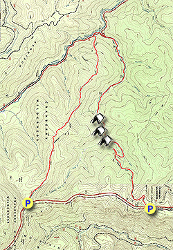
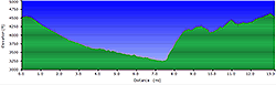
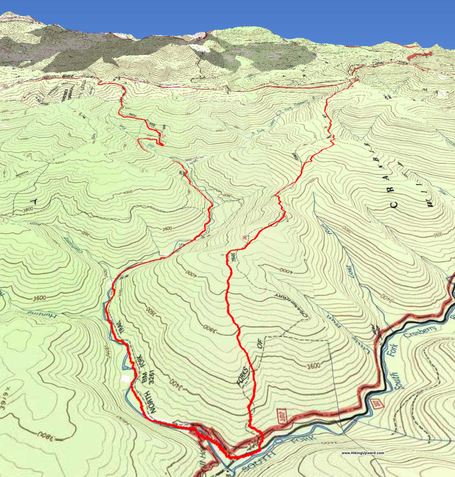
Monongahela National Forest’s Cranberry Wilderness is an amazing place to explore, with a wealth of trails crisscrossing its nearly 50,000 acres. Some claim that this is the wildest area in the East, though parts of Northern Maine may object. This description covers a couple of trails that require a short (3.2 mile) car shuttle: Trail #272, North Fork Trail, and Trail #245, Forks of Cranberry Trail. Hikers can complete these trails either as an overnight or as an aggressive day hike. The first trail is more widely used and is superior for camping, and the second trail sees fewer hikers and provides much solitude and challenge. Note that the description follows the harder direction for this hike. Look at the elevation profile and you will see that starting at the southern trailhead and taking the Forks of Cranberry Trail first is an easier trip, taking the Difficulty Assessment down to a 4. It is also important to note that we hiked these trails during a dry July and the North Fork Trail was still wet in sections. During normal to rainy times, the North Fork Trail especially will be soggy, and there are multiple stream crossings on that trail that could prove treacherous. Always be aware of your surroundings, as the Cranberry Wilderness can be an unforgiving place.
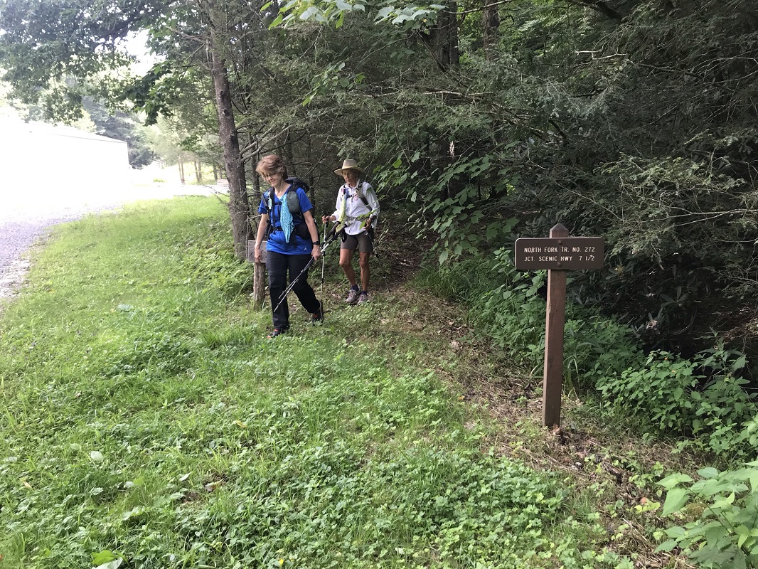
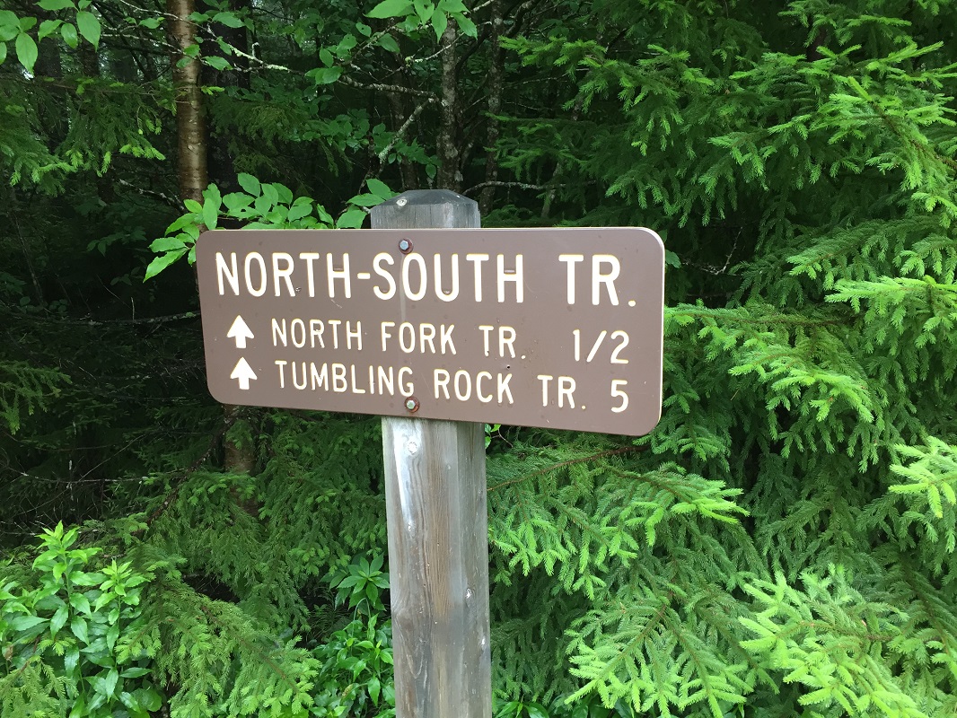
- Mile 0.0 – Start the hike in a parking area just along the Highlands Scenic Highway. There is a spot along the highway that holds 4 cars, and a hidden lot across the highway that holds a dozen more. Start the hike by entering next to the trail sign for the North-South Trail. There may be a campsite immediately on the trail – at least there was a couple camping there when we passed by, who claimed they drove down from “northern Maryland,” arriving the night before at 2AM. They camped at the first opportunity.
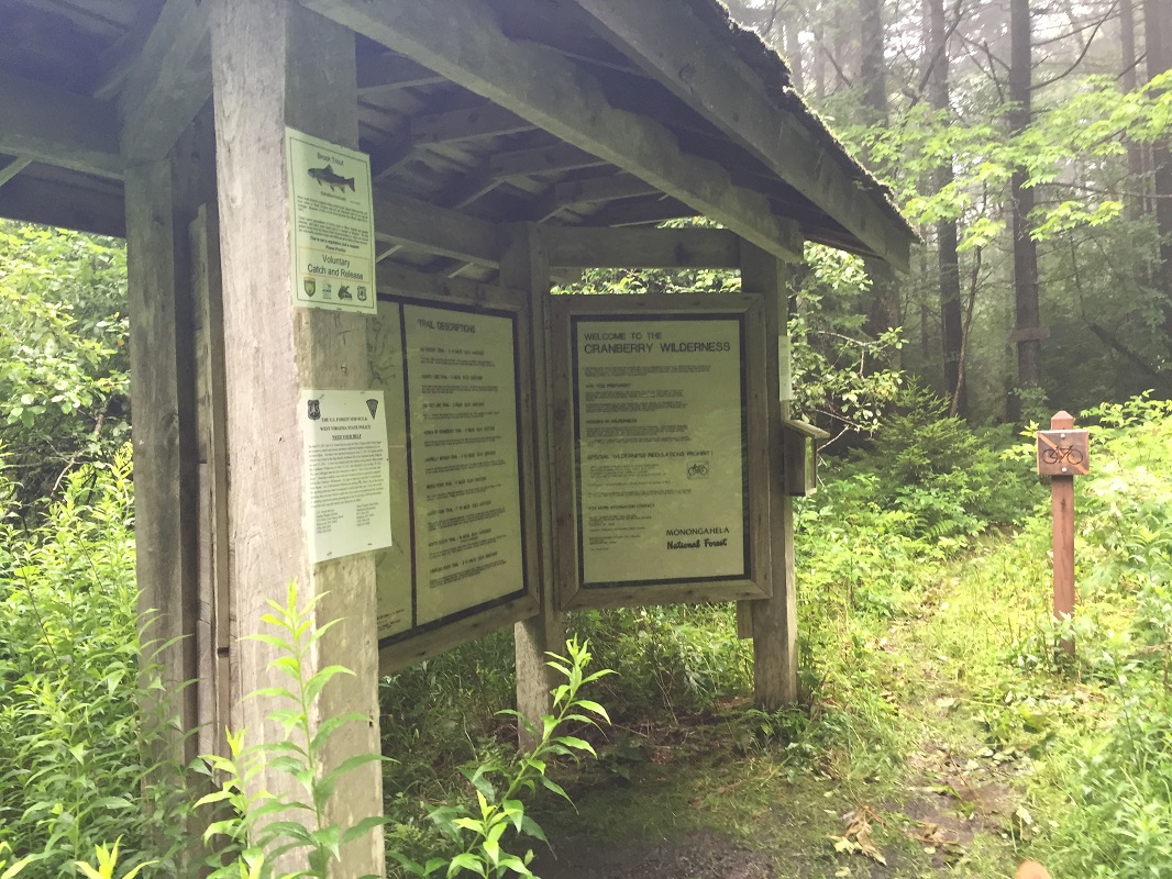
- Mile 0.3 – Pass a wooden kiosk that includes a map of the area. (Note: the best map of the Cranberry Wilderness is available free online from the West Virginia Highlands Conservancy. These folks also publish the premier hiking guide to the Monongahela National Forest and are worthy of your support.) Take a photo of the trail map in the kiosk if you forgot your copy, then continue past the kiosk on the trail. Here you enter into wilderness, and groups greater than 10 are prohibited.
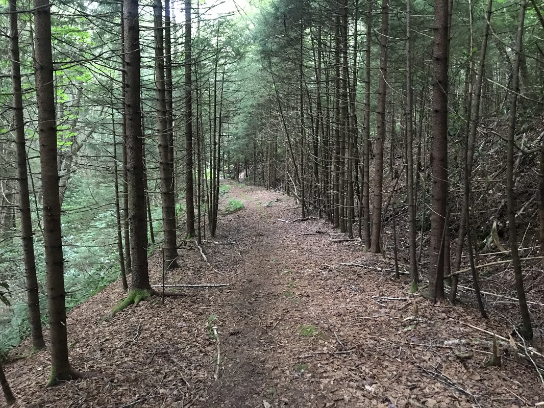
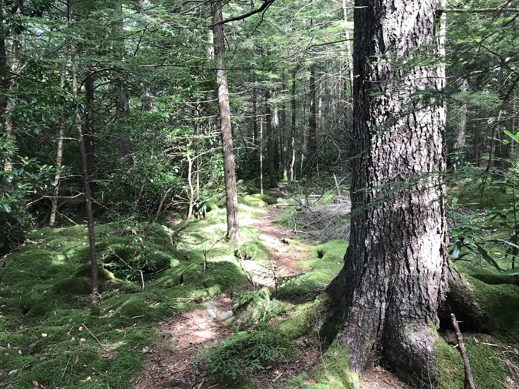
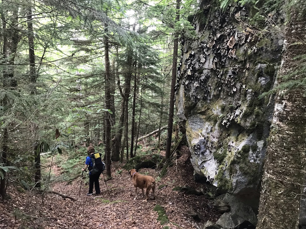
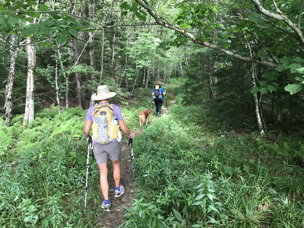
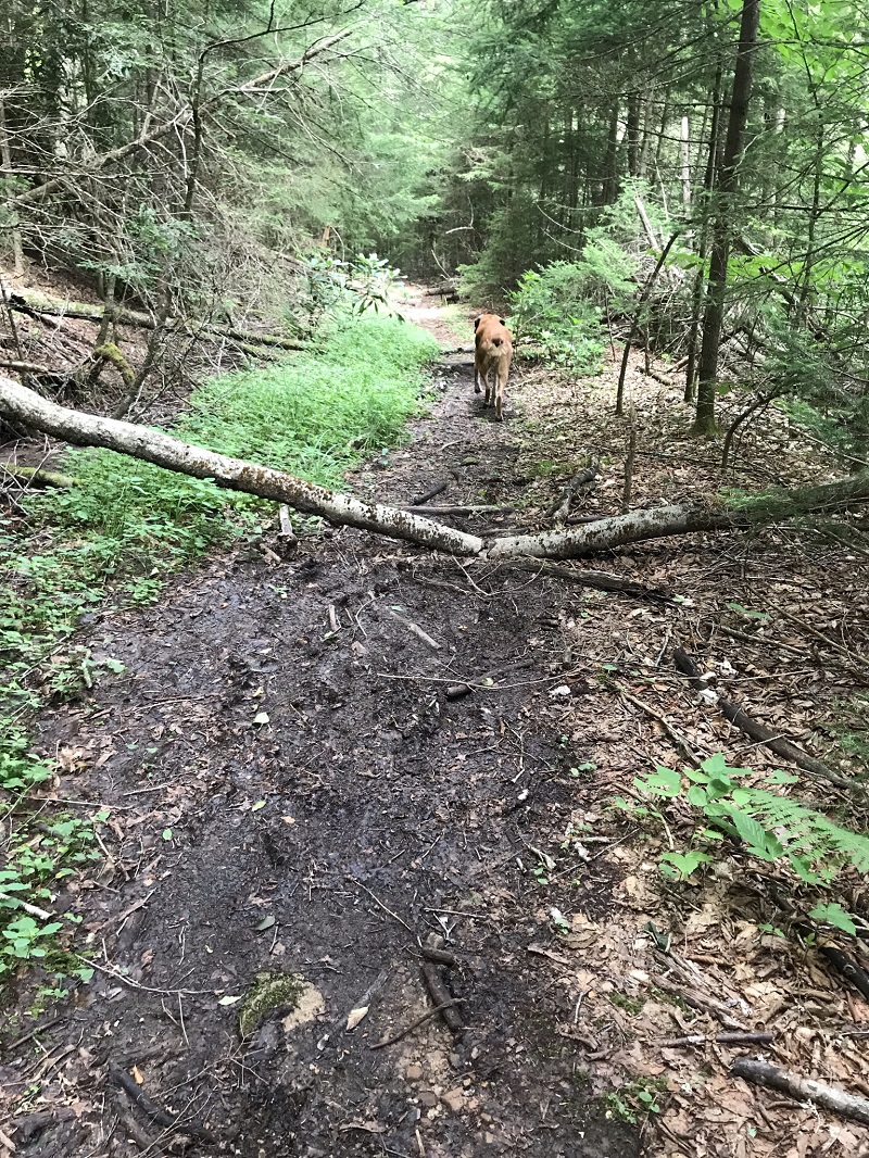
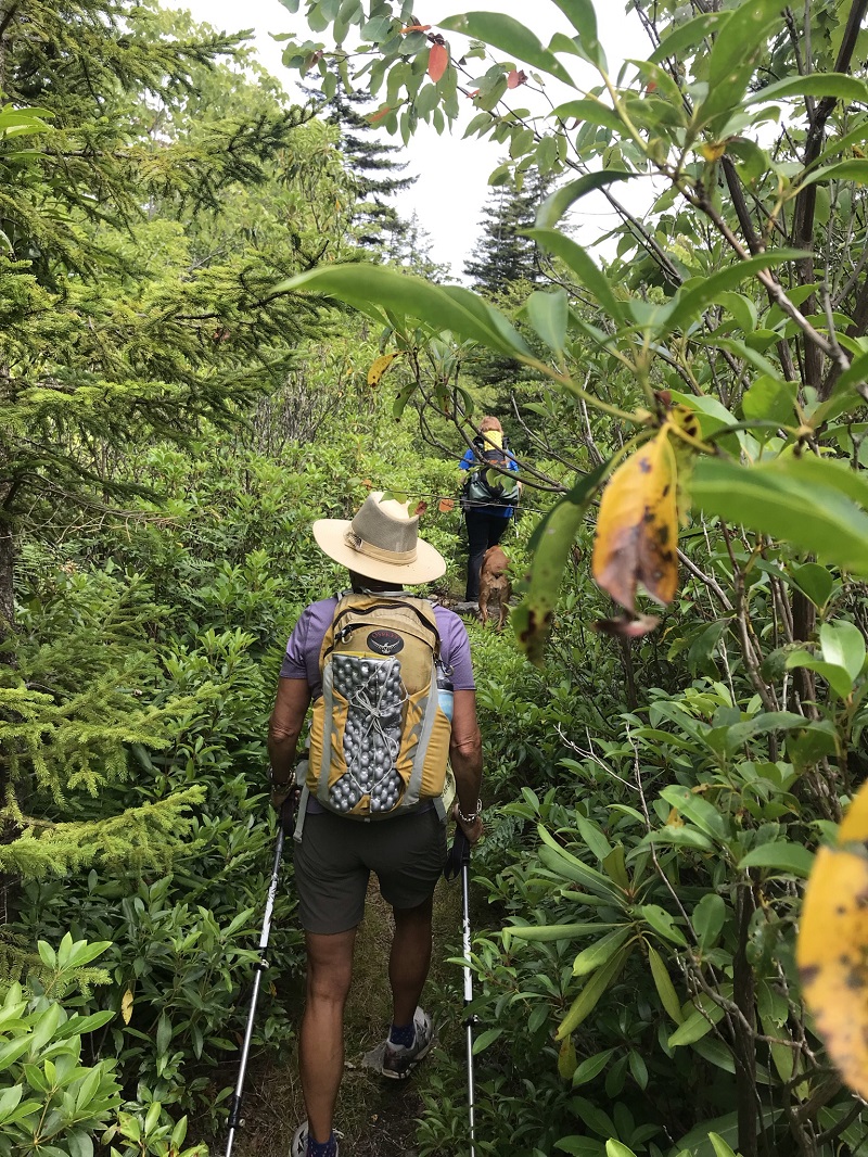
- Mile 0.4 – In a small open spot, several trails converge. Continuing straight, you would explore the North-South Trail, described in HikingUpward’s Tumbling Rock Hike description. To the right, the North Fork Trail heads north to the loop described in HikingUpward’s Middle Fork/Big Beechy Hike description - probably the most popular part of the Cranberry Wilderness. Take a left here, following the North Fork Trail south. The North Fork Trail follows an old roadbed, used by vehicles until the establishment of the wilderness area in 1983. The roadbed creates a wide hiking area, and one of our hikers expressed amazement that there are still very few trees that have grown out of the old roadbed, nearly 40 years after the road last experienced vehicular traffic. This roadbed makes for an exceptionally nice hiking experience.
- Mile 2.4 – The trail briefly leaves the roadbed, returning to the bed again at a switchback.
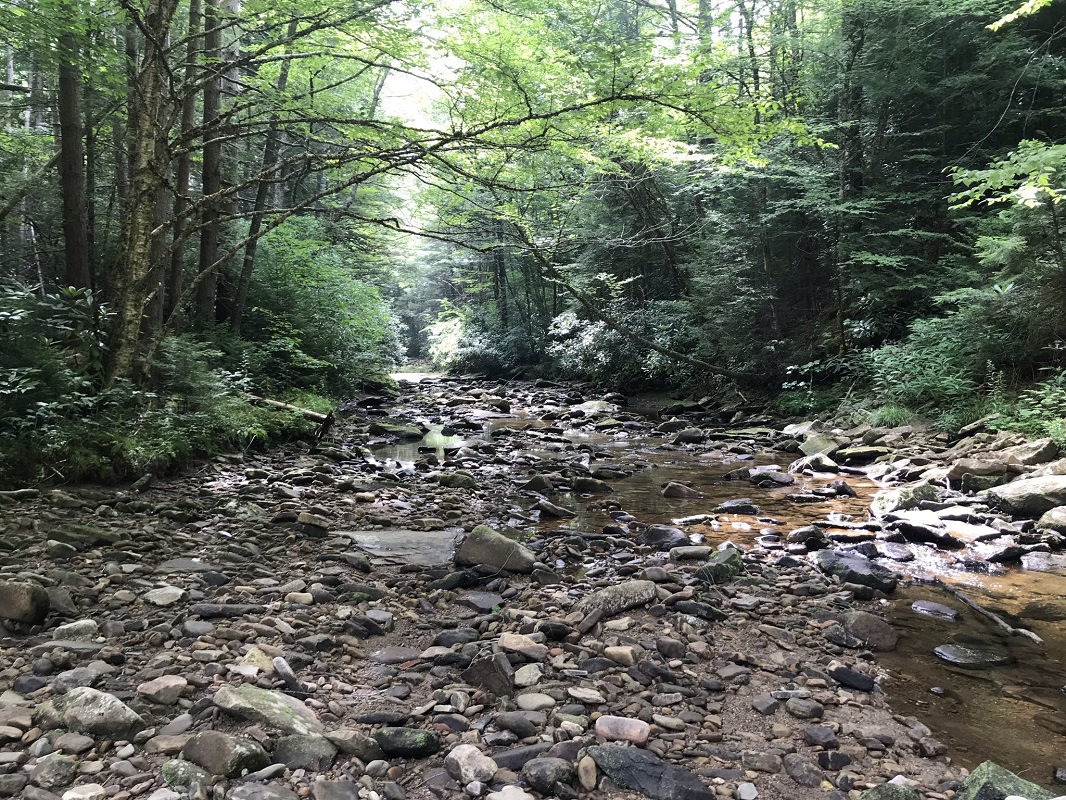
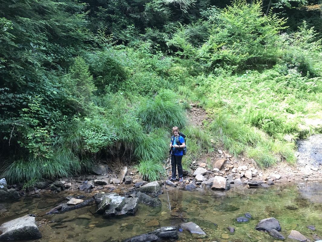
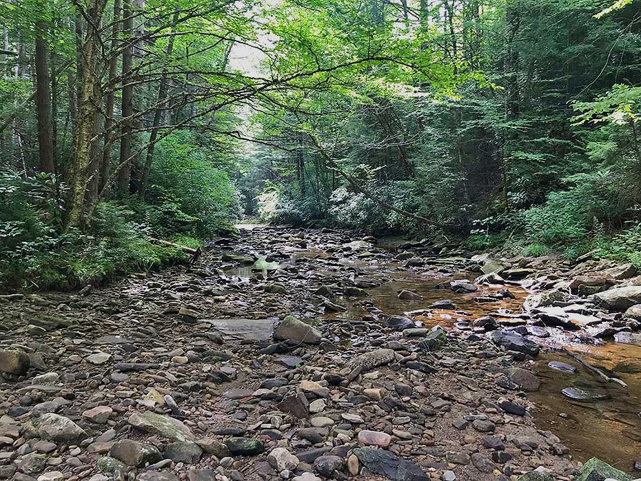
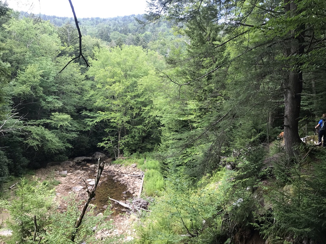
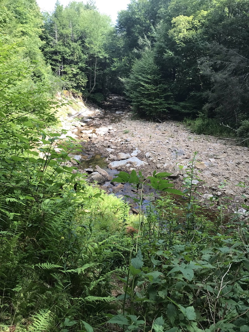
- Mile 2.8 – Cross the Left Fork North Fork Cranberry River for the first time. If flow makes this crossing at all difficult, further crossings downstream will likely be dangerous.
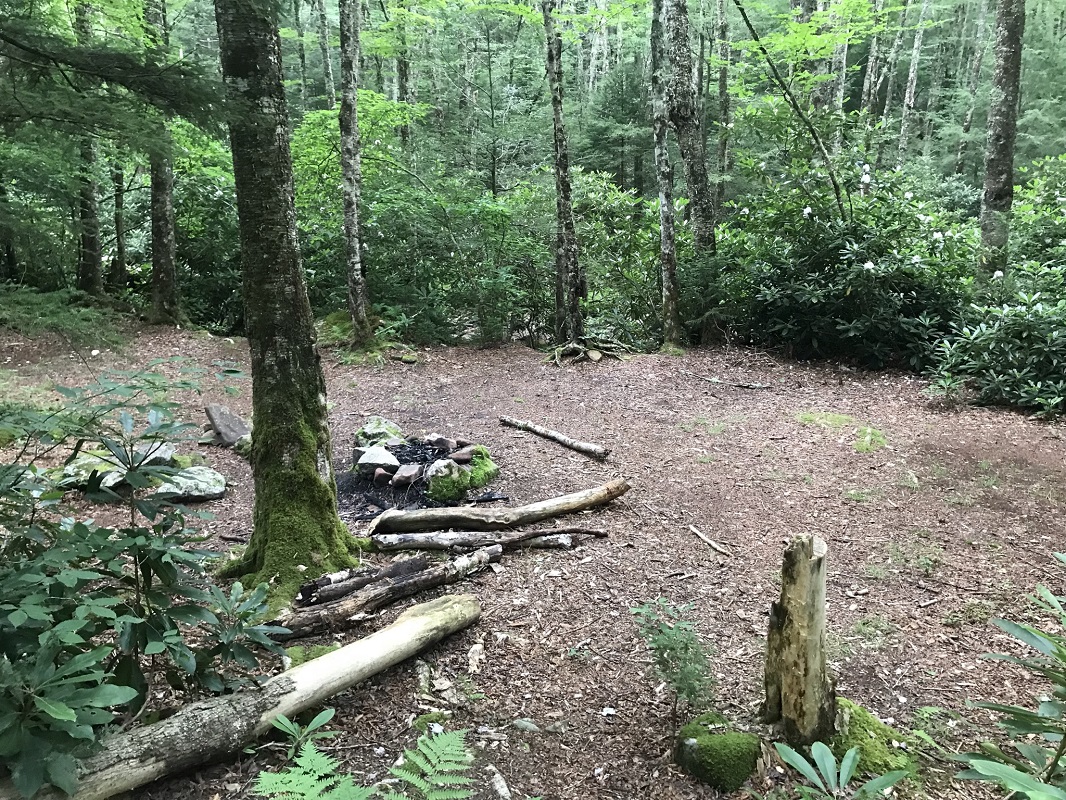
- Mile 3.6 – A side trail leads a short way to several nice campsites located between the trail and the LFNF Cranberry River, but not visible from the trail.
- Mile 3.8 – A campsite sits next to the LFNF Cranberry River, just off the trail.
- Mile 4.0 – Pass another campsite next to the trail and the river.
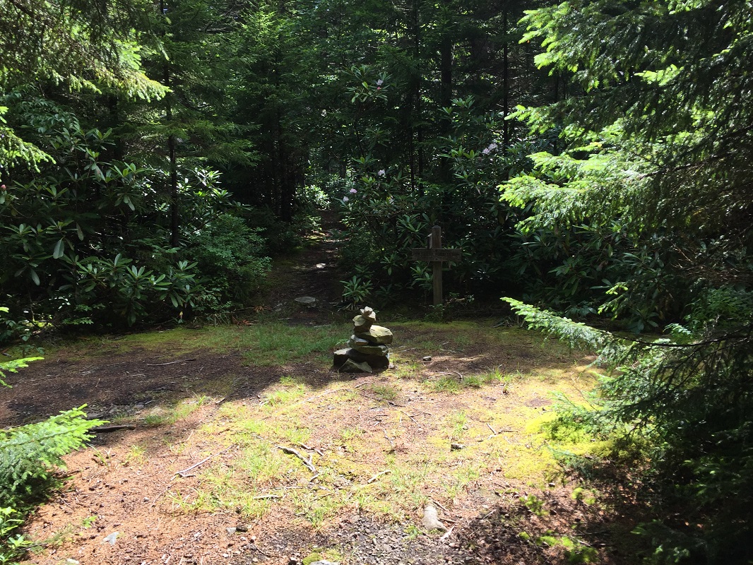
- Mile 4.7 – Come to a stone cairn that signals the trail leaving the roadbed and climbing steeply upslope. You may see footprints continuing straight on the roadbed here, but the old bed has washed out just ahead, and you will need to go up the steep climb. The trail is sometimes poorly marked during this detour– simply keep going parallel to the river at a higher elevation, and eventually the trail becomes obvious and drops back down to the road. During the detour, you will experience some nice views down to the river.
- Mile 4.9 – Cross the Left Fork North Fork Cranberry River at a spot where there was once a bridge for the former road, based on the abutments remaining along the trail. After you cross the river, climb back up to the roadbed on the other side. Ahead, the roadbed is washed out again requiring a detour, but the trail is easier to navigate.
- Mile 5.3 – At a point where the old roadbed has again washed away, the trail drops back down to the river and appears to cross to a rocky section along the river, but the trail route does not actually cross. Because of the area’s wilderness status, trails are sometimes poorly marked, and here hikers need to follow the streambed until a trail back up to the roadbed becomes visible several hundred feet downstream. It may be easier to cross and traverse the rocks on the other side – easy to do during times of low water flow, but keep an eye out for a trail on the original side of the river. The trail climbs back up to the roadbed and follows it for the rest of its length.
|
- Mile 6.7 – The trail comes to a sign, facing away, which points upslope and says “North Fork.” Is it a detour that we missed? We later determined this to be the intersection with Trail #273, the Forks By-Pass Trail. The By-Pass Trail is invisible here, and is basically useless. The trail’s utility was likely superseded when the Forest Service shut off FR 102 from public traffic. Not recommended for exploring.
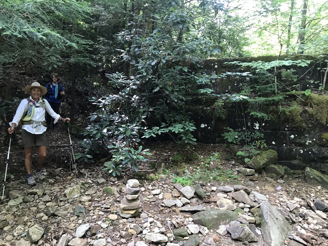
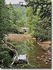
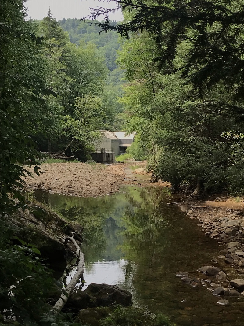
- Mile 7.1 – After seven miles of wilderness travel, downstream is a somewhat surprising thing: a building! This is for restoring the proper PH to the area streams.
- Mile 7.3 – The North Fork Trail ends at the road to this building. Continue down the gravel road in the same direction you had been hiking and come out on FR102, which forms a boundary of the Cranberry Wilderness. To your right only a couple hundred feet is an Adirondack style shelter with picnic table and privy, and multiple campsites along the Cranberry River up the entire length of FR102. We did not detour to view this, but instead turned left towards the Forks of Cranberry Trail’s trailhead, a short distance ahead. FR102 continues for over four miles as a road open only to hikers and bikers, but not to public motorized vehicles.
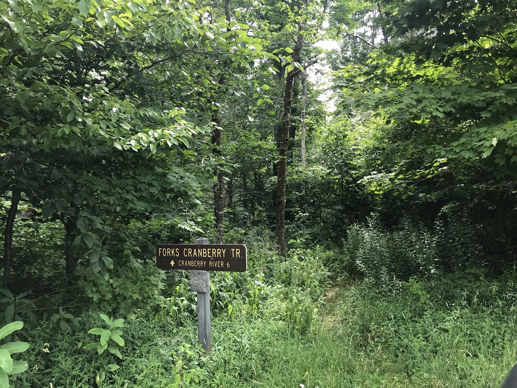
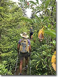
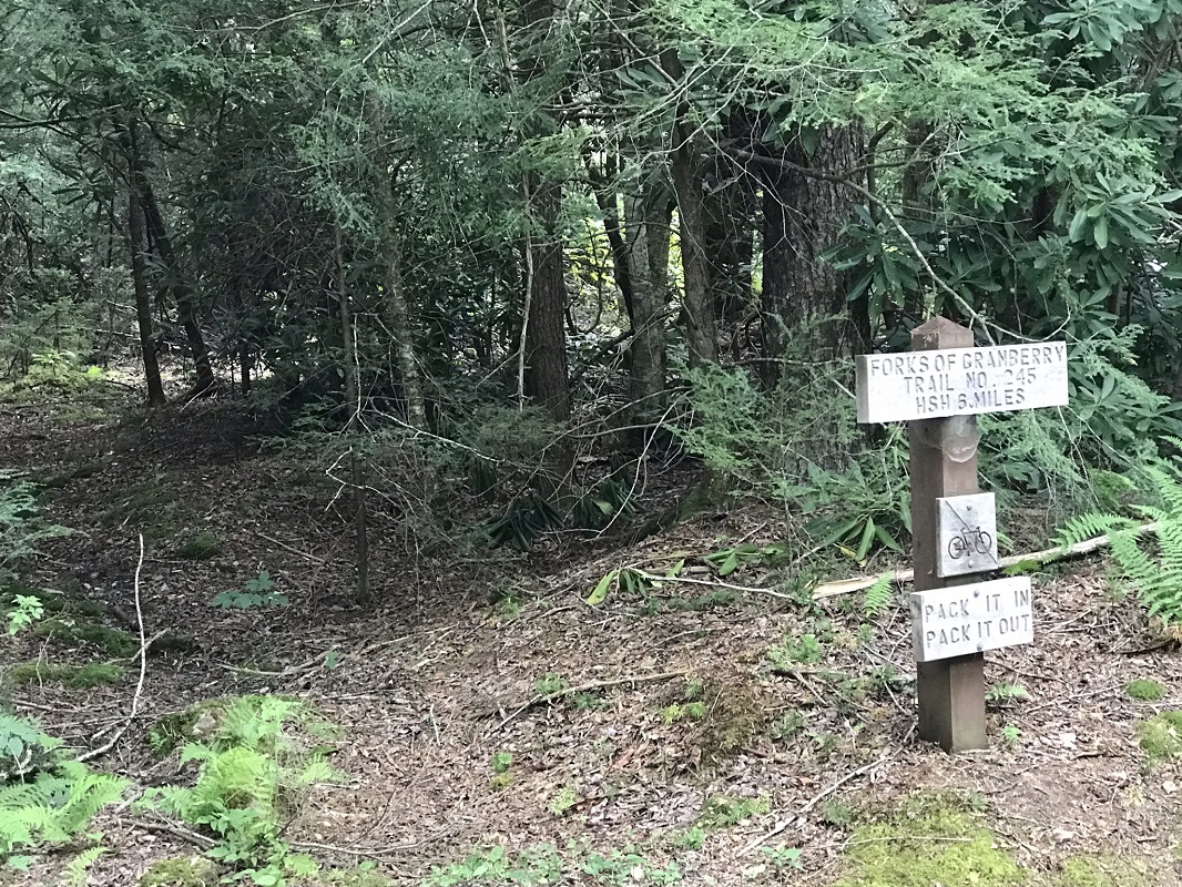
- Mile 7.5 – The Forks of Cranberry Trail starts behind a sign for the trail. Use of this trail is much less common than the North Fork Trail, and it does not feature any noticeable campsites (though there may have been some we missed). The trail climbs steeply for the next mile, and quickly passes the other end of Trail #273, the Forks By-Pass Trail, which is only barely visible from where a sign marks its end.
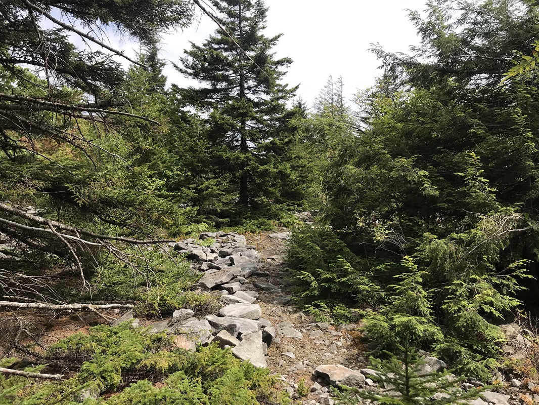
- Mile 9.8 – After a steep ascent followed by a second slower ascent, the trail loses elevation over about a half mile and passes several large boulders.
- Mile 12.7 – The forest cover opens up and there are several rocky areas that appear to be overlooks. They are not. This area reportedly burned to bedrock back in 1937, and is still recovering – which explains why it appears so different from the rest of the forest traversed on this route.
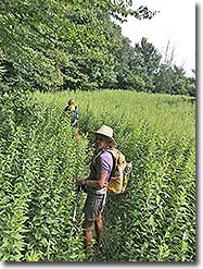
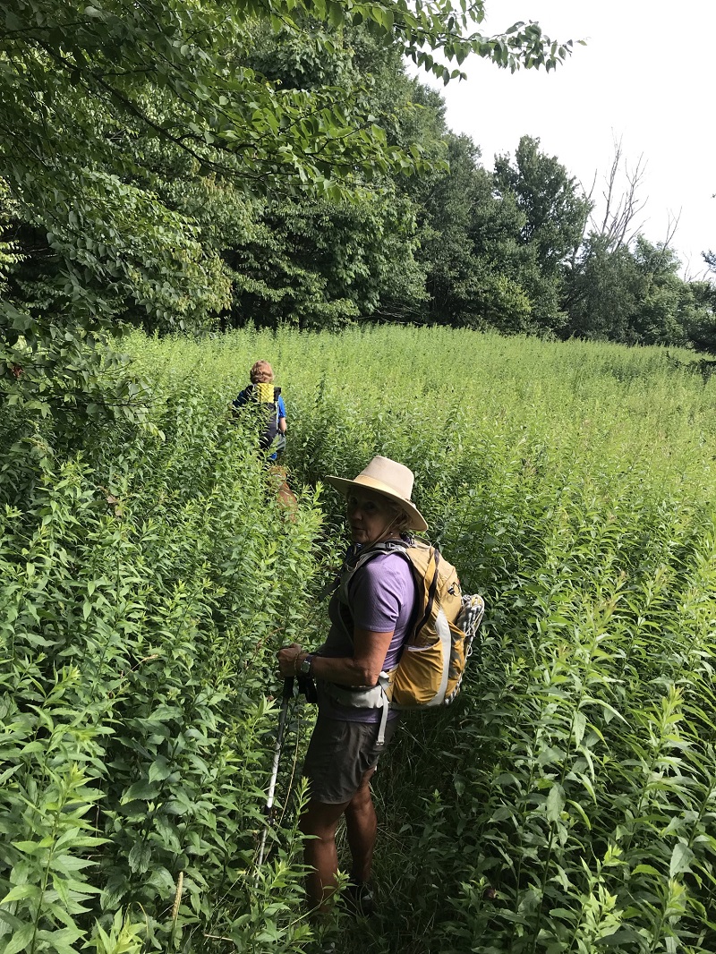
- Mile 13.0 – Reach the high point of the hike in an area with plant growth growing into the trail, but without many mature trees.
- Mile 13.3 – After walking through a field which may leave the trail hard to follow, take a left turn through some woods and come out at your shuttle vehicle, marked on the Highlands Scenic Highway by a trail sign. Shuttle north on the Highlands Scenic Highway 3.2 miles to your departure vehicle.
|
|

