|
| Length |
Difficulty |
Streams |
Views |
Solitude |
Camping |
| 9.9 mls |
 |
 |
 |
 |
|
Hiking
Time:
Elev. Gain:
Resources: |
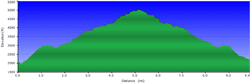
5 hours and 30 minutes with 1 hour of breaks
3,460 ft
 Topo Hike Trails Map (PDF) Topo Hike Trails Map (PDF)
Beechertown, NC Weather Forecast
Garmin (GDB), Gaia/Trails App (GPX) (What's
this?)
3D
View of Route |
 By Trail Contributor: Zach Robbins (Contact Zach) By Trail Contributor: Zach Robbins (Contact Zach)
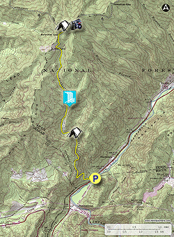
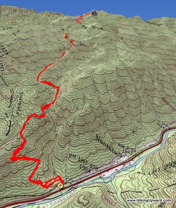
Cheoah Bald, nicknamed the “Grandstand of the Atlantic,” is the tallest peak in the Cheoah Mountains of southwestern North Carolina. This range abruptly rises nearly 3,000 feet above the Nantahala River Gorge. Although Cheoah Bald is only 5,062 feet in elevation, the peak is isolated and difficult to reach. There are three routes to the summit, and the hike described here is the shortest but arguably the toughest. The climb out of Nantahala Gorge is unrelenting for miles as the Bartram Trail first climbs above Ledbetter Creek then follows it upstream crossing the creek numerous times. You’ll pass by Bartram Falls and continue following the creek before a steep climb to Bellcollar Gap. The Bartram Trail terminates at Cheoah Bald, a wonderful peak with one of the best campsites in the region. This campsite lies at the edge of a vast grassy bald with panoramic southern views. The Appalachian Trail also crisscrosses the summit, providing shuttle hike possibilities from Stecoah Gap or the Nantahala Outdoor Center.
| Mile Summary and Highlights |
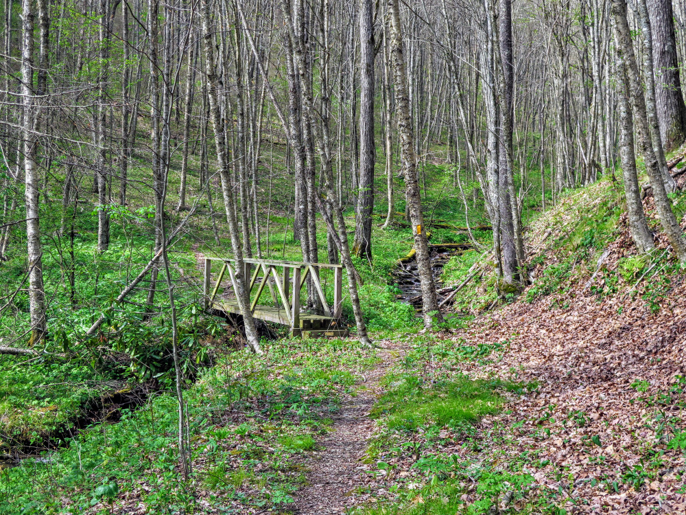
0.1 - Follow the Bartram Trail crossing bridge over Ledbetter Creek
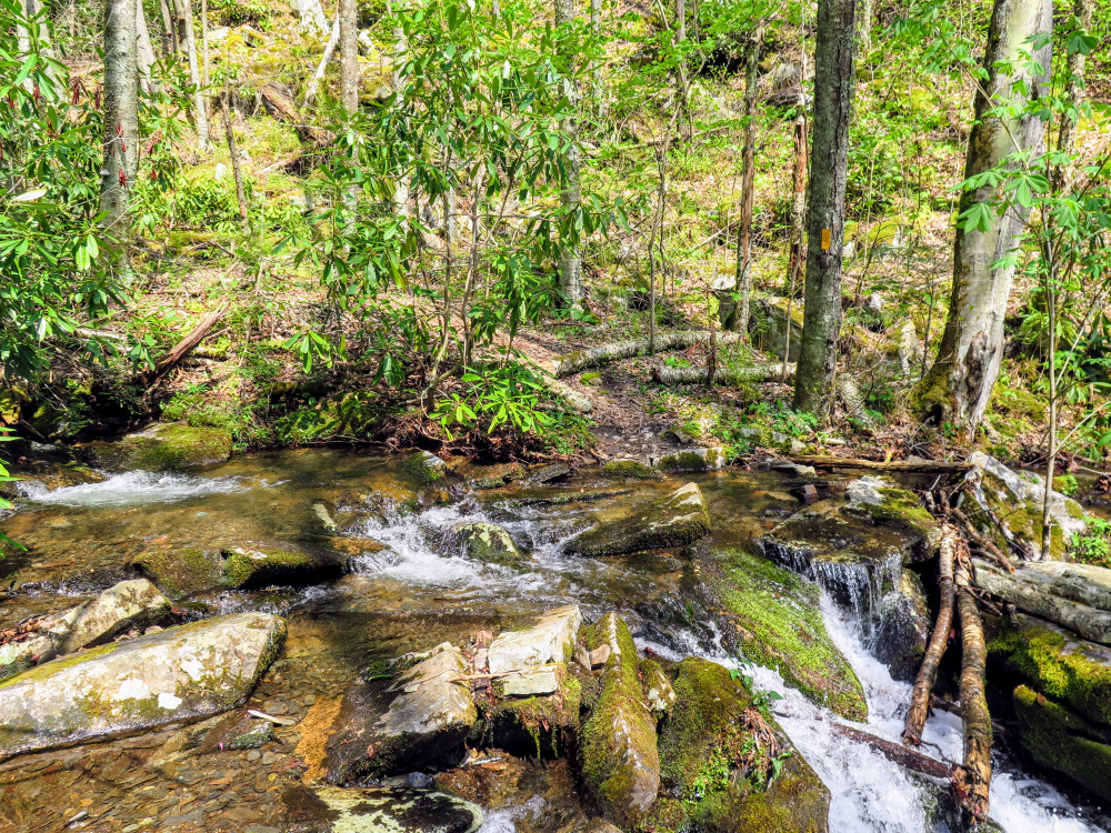
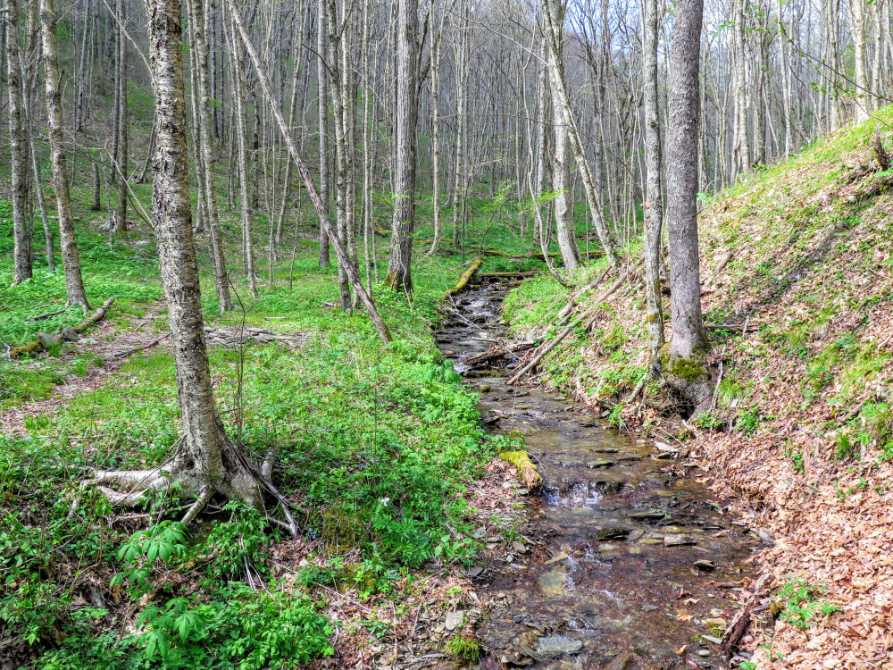
1.7 - First of many Ledbetter Creek crossings
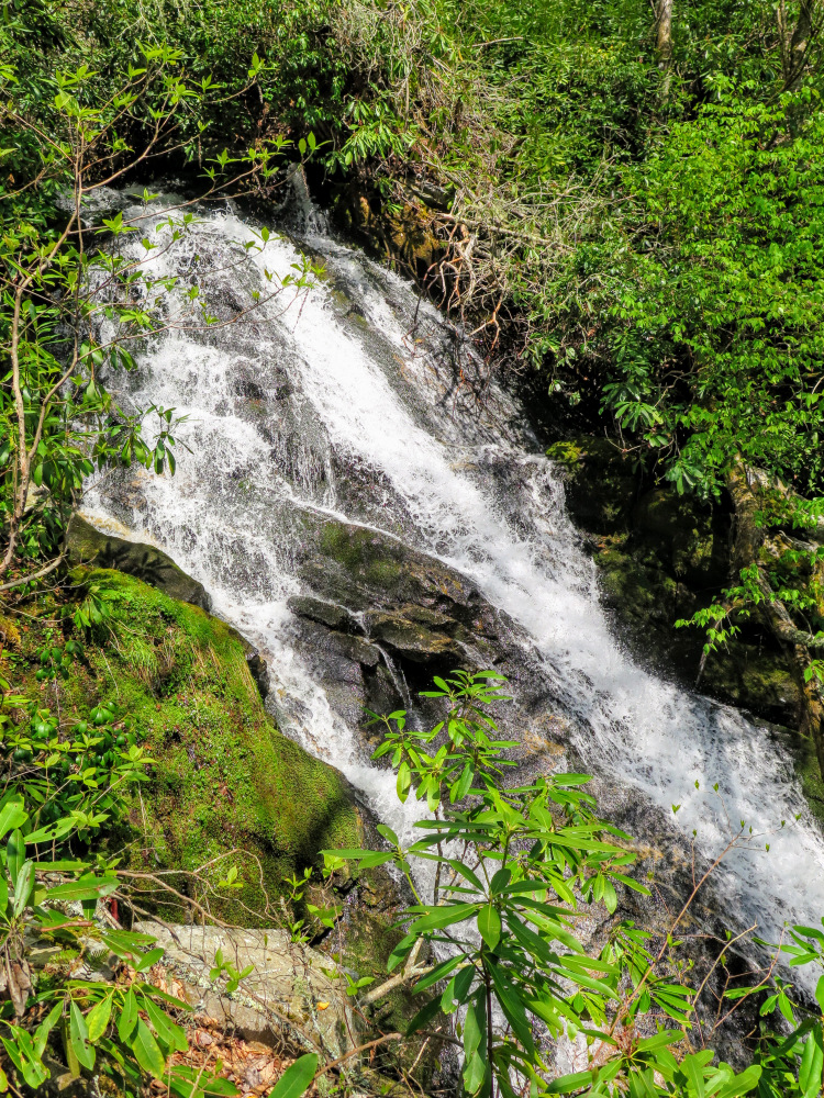
2.8 - Bartram Falls
4.2 - Junction with FR 295A
4.8 - Turn right onto Appalachian Trail above Bellcollar Gap
5.0 - Cheoah Bald summit (5,062 feet) with 180° views |
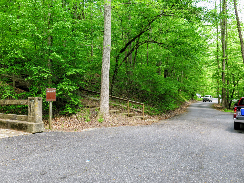
Parking Alternative – The picnic area along the highway is not easy to spot, and the small parking area may be full. You can also park on FR 422 which is crossed by the Bartram Trail. The road is located 0.25-mile northeast of the picnic area.
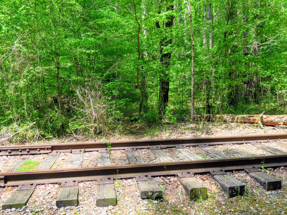
- Mile 0.0 – The small picnic area has room for only a few cars, but this usually isn’t a problem. Follow the stairs to an elevated picnic site and continue following a trail across the railroad tracks.
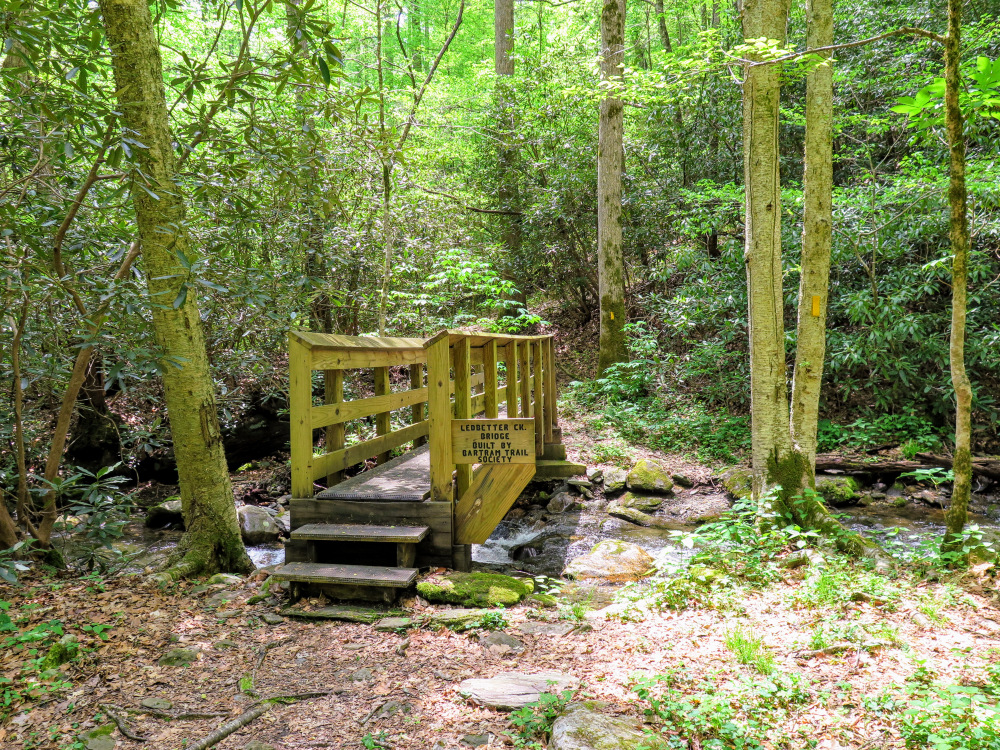
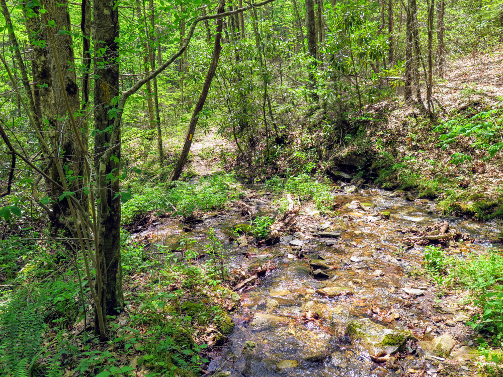
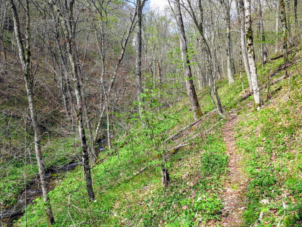
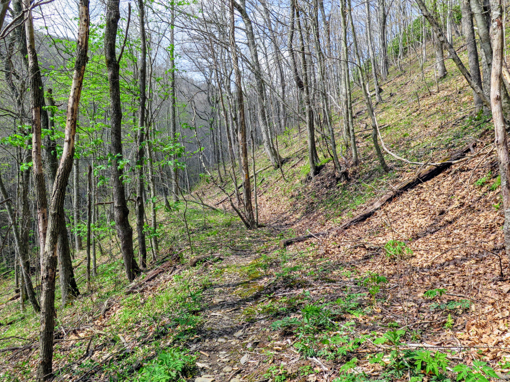
- Mile 0.1 – At a cross intersection turn left on the Bartram Trail [69] (yellow blaze) which crosses Ledbetter Creek on a wooden bridge. The next mile is a difficult 1,000-foot ascent out of the gorge.
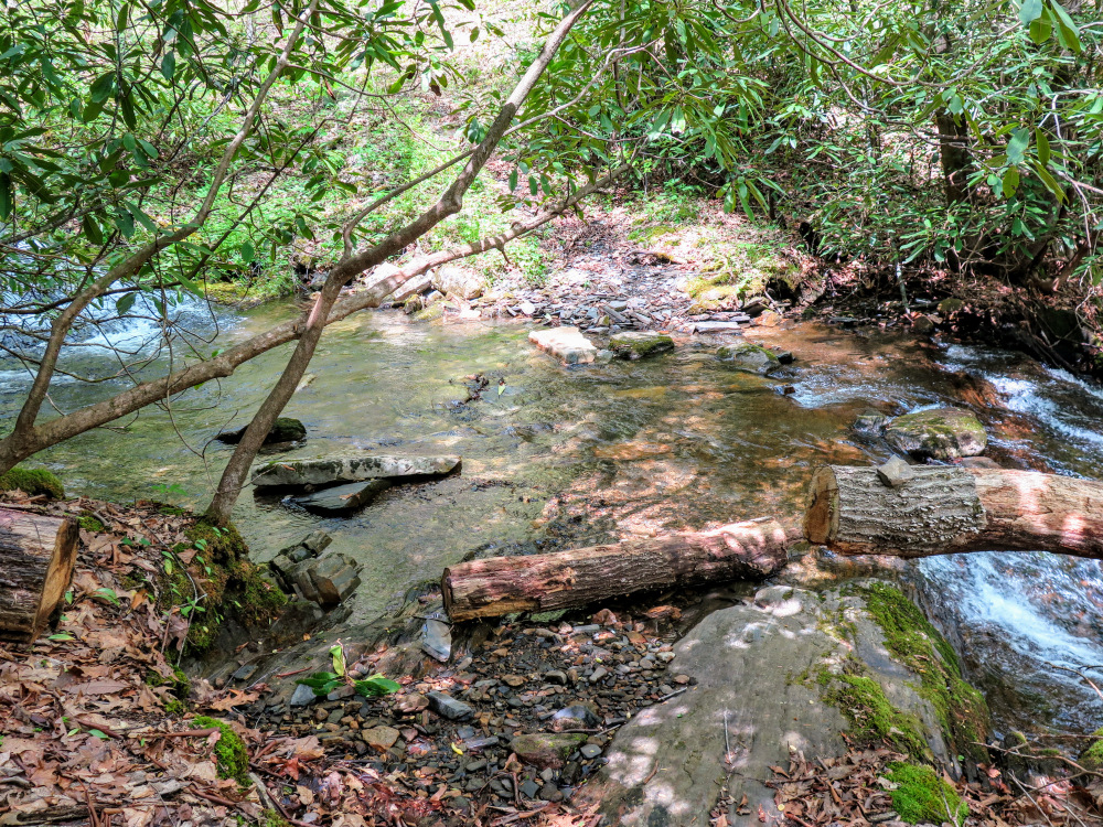
- Mile 1.7 – Rock hop (or wet ford in higher water) Ledbetter Creek.
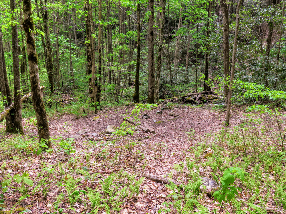
- Mile 1.8 – Rock hop a tributary of Ledbetter Creek. After this crossing there is a campsite on the left.
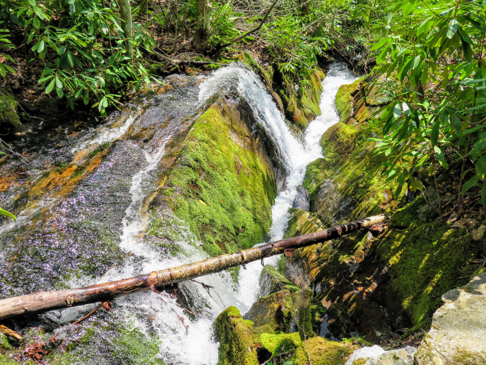
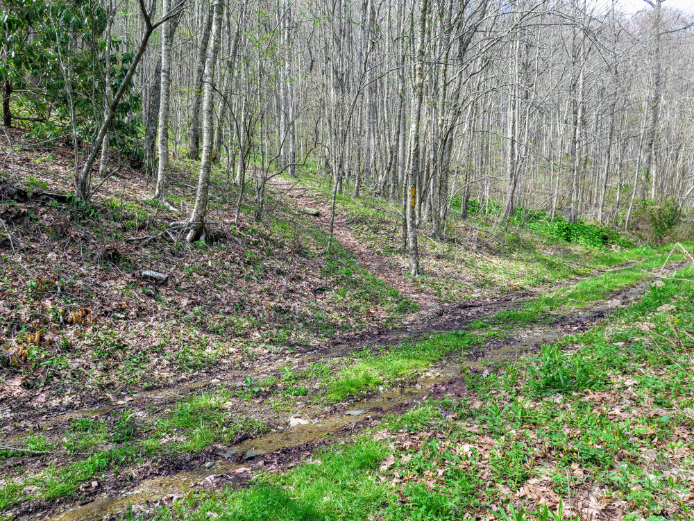
- Mile 2.1 – Cross Ledbetter Creek a second time, the third stream crossing of the hike.
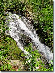
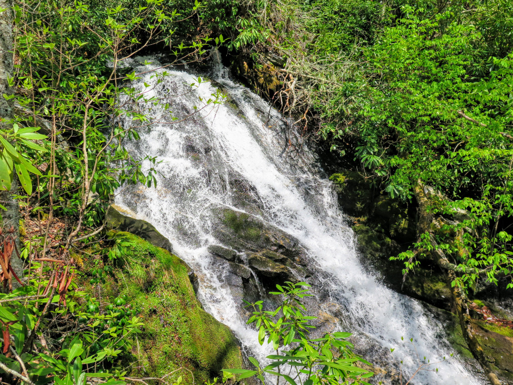
- Mile 2.8 – The trail passes to the left of 30-foot Bartram Falls. Although the waterfall is located next to the trail, it is difficult to see a full view of the falls. Scrambling to the bottom is dangerous and would not improve the view. The V-notches above and below the main drop are more interesting the main waterfall itself.
- Mile 2.9 – Fourth rock hop across Ledbetter Creek.
- Mile 3.1 – Fifth crossing of Ledbetter Creek, this one is likely a wet ford.
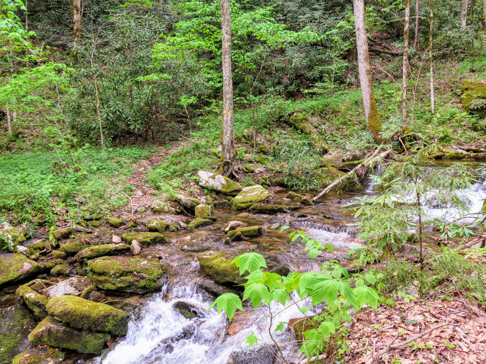
- Mile 3.3 – Sixth rock hop across Ledbetter Creek. The land opens up after this crossing as you walk through an open cove.
- Mile 3.8 – Y-junction with a heavily overgrown forest road on the right. The Bartram Trail now follows a forest road track north.
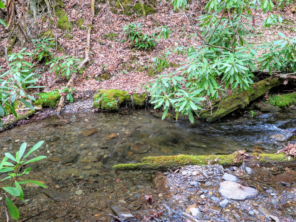
- Mile 4.0 – Cross a wooden foot bridge over Ledbetter Creek with beautiful views upstream.
- Mile 4.2 – Walk through a diagonal intersection with FR 295A. The Bartram Trail begins a steep ascent towards Bellcollar Gap, leaving the Ledbetter Creek watershed.
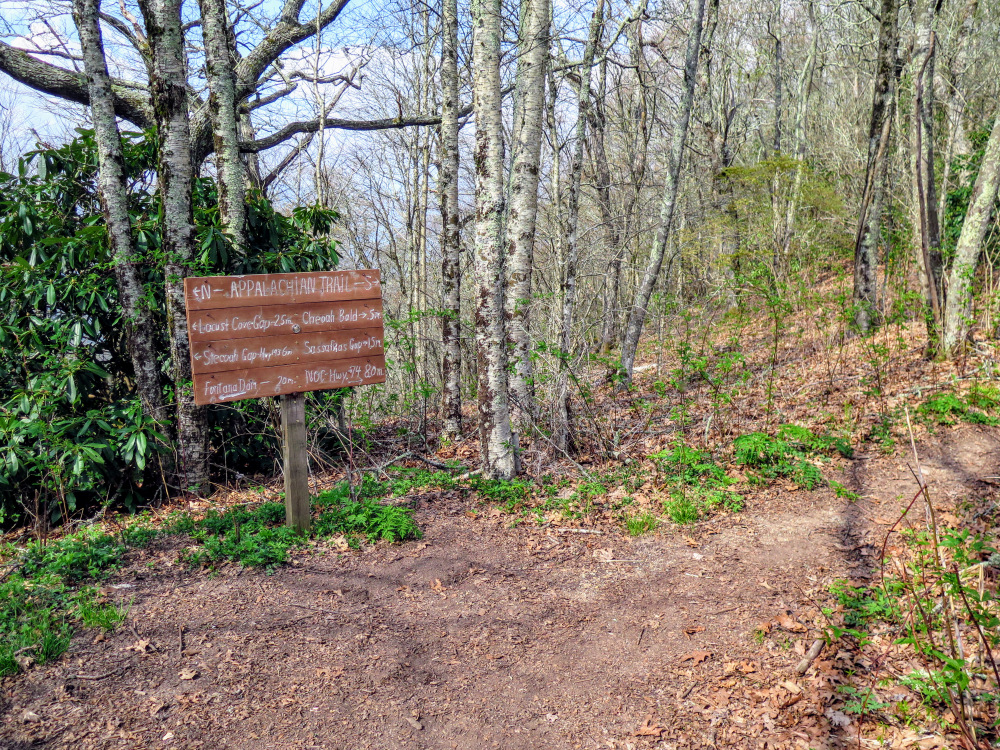
- Mile 4.8 – T-junction with the Appalachian Trail (white blaze). Turn right following the Appalachian and Bartram Trails to the summit.
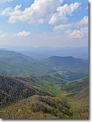
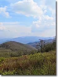
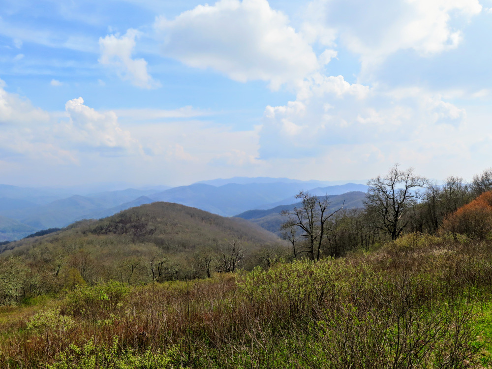
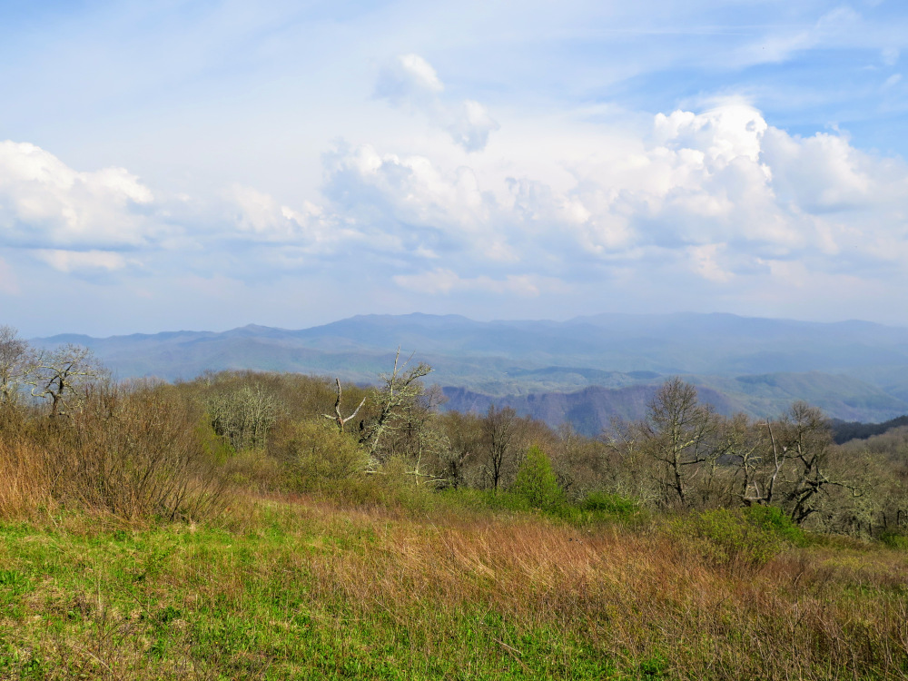
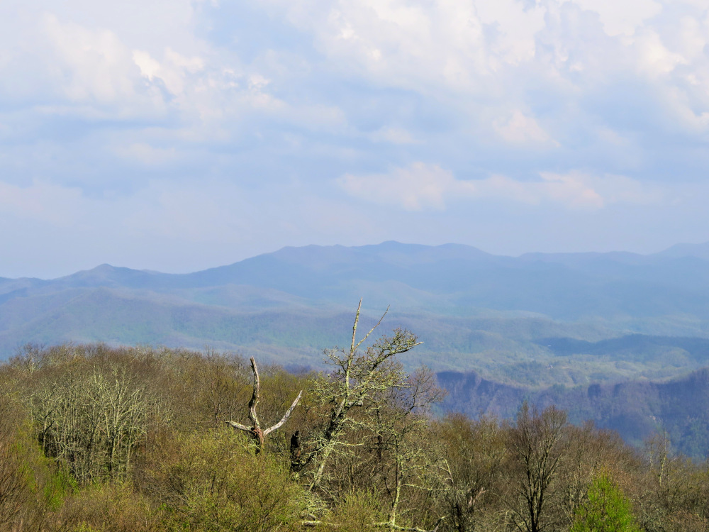
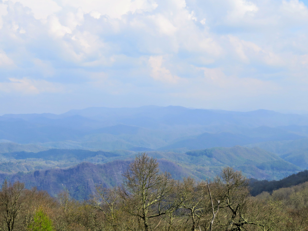
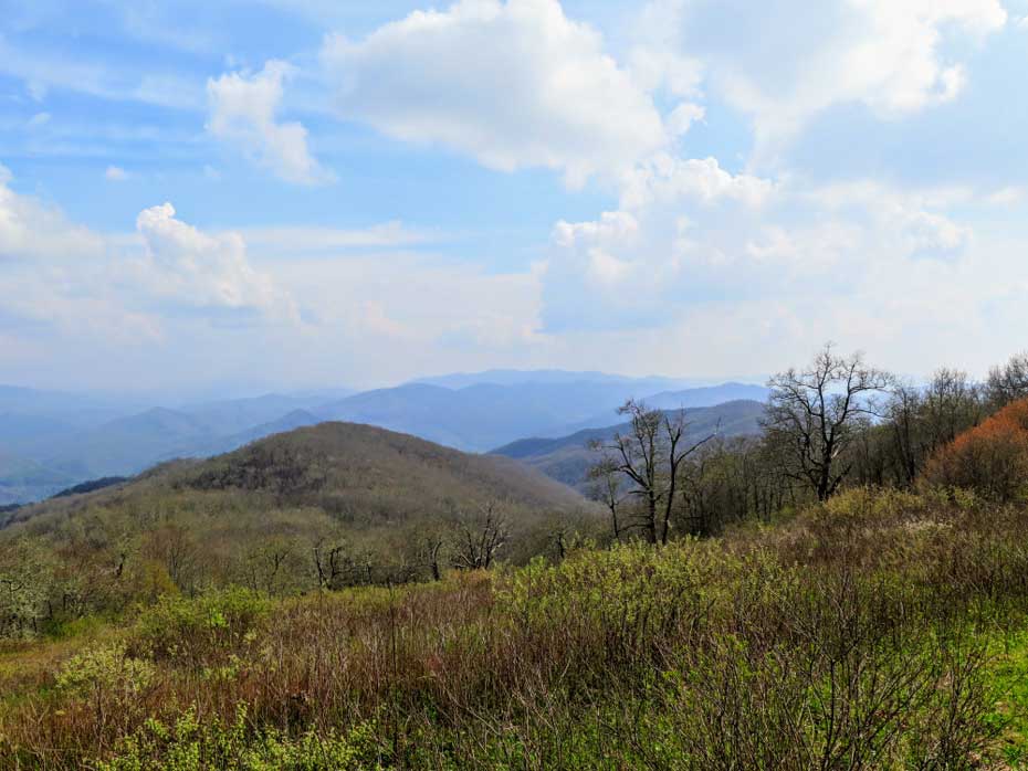
- Mile 5.0 – Reach the northern terminus of the Bartram Trail at the summit of Cheoah Bald (5,062 feet). There is a campsite on the north side sheltered in the trees and a narrow viewpoint north of Fontana Lake and the Great Smoky Mountains. The main attraction is the appealing grassy campsite on the south side, perched above the vast grassy bald with an expansive southern view. Cheoah Bald towers nearly 3,000 feet over the Nantahala Gorge. From left to right you can see many of the ranges in Nantahala National Forest (Nantahala Mountains, Chunky Gal Mountain, Tusquitee Mountains, and Valley River Mountains). The lonely conical peak on the far left is Wesser Bald, with the ridgeline dropping into Tellico Gap then rising to multiple minor peaks surrounding Copper Ridge Bald. Further south the broad Trimont Ridge lies in the foreground of Standing Indian. The conical peak to the right of Standing Indian is Boteler Peak of Chunky Gal Mountain. The Valley River Mountains and Tusquitee Mountains form the Fires Creek Rim in the distant southwest.
- Mile 9.9 – Hike ends at the picnic area.
|


![turn left on the Bartram Trail [69]](images/042917/IMG_4691.jpg)