|
| Length |
Difficulty |
Streams |
Views |
Solitude |
Camping |
| 1.8 mls |
 |
N/A |
 |
 |
 |
Hiking
Time:
Elev. Gain:
Resources: |
1 hour and 10 minutes with 30 minutes of breaks
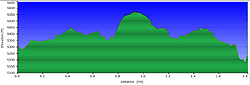
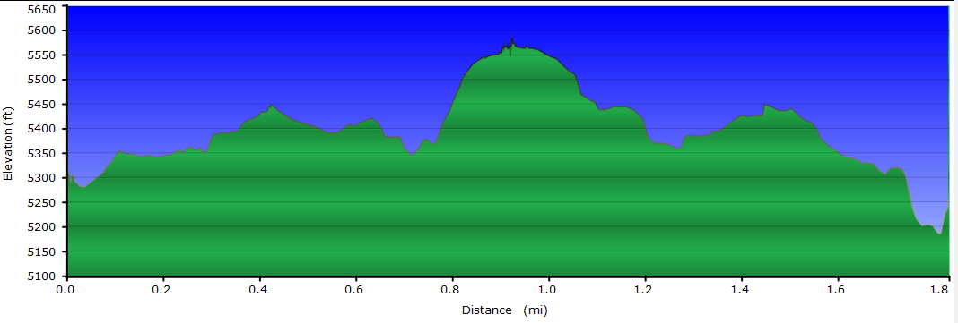
370 ft
 Topo Hike Trails Map (PDF) Topo Hike Trails Map (PDF)
Robbinsville, NC Weather Forecast
Garmin (GDB), Gaia/Trails App (GPX) (What's
this?)
3D
View of Route |
 By Trail Contributor: Zach Robbins (Contact Zach) By Trail Contributor: Zach Robbins (Contact Zach)
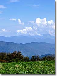
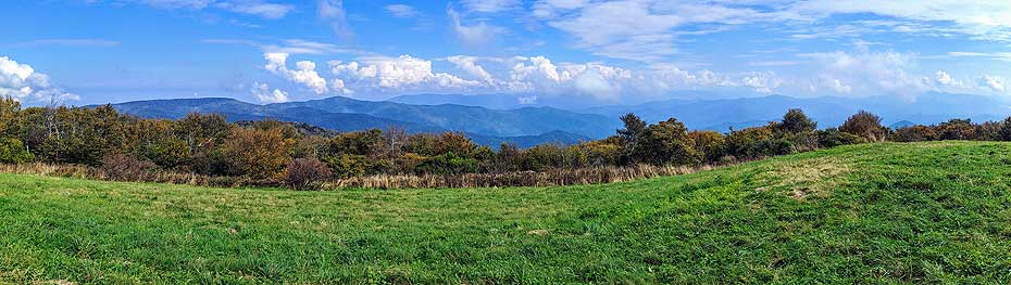
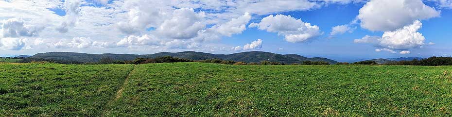
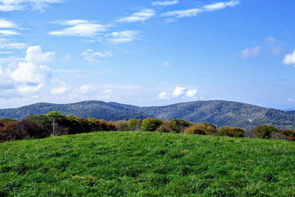
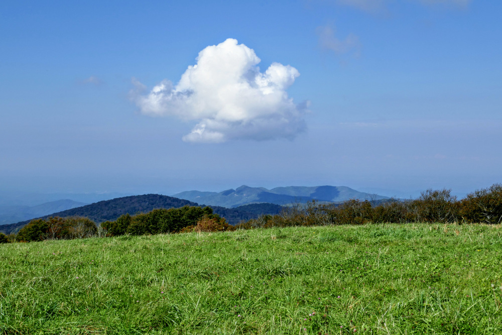
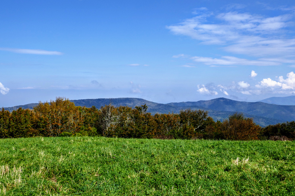
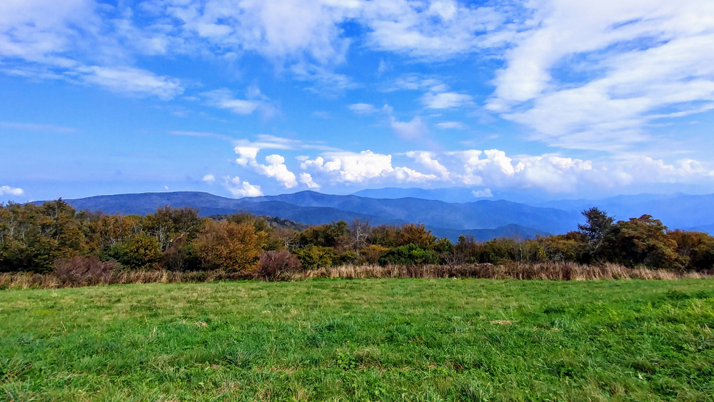
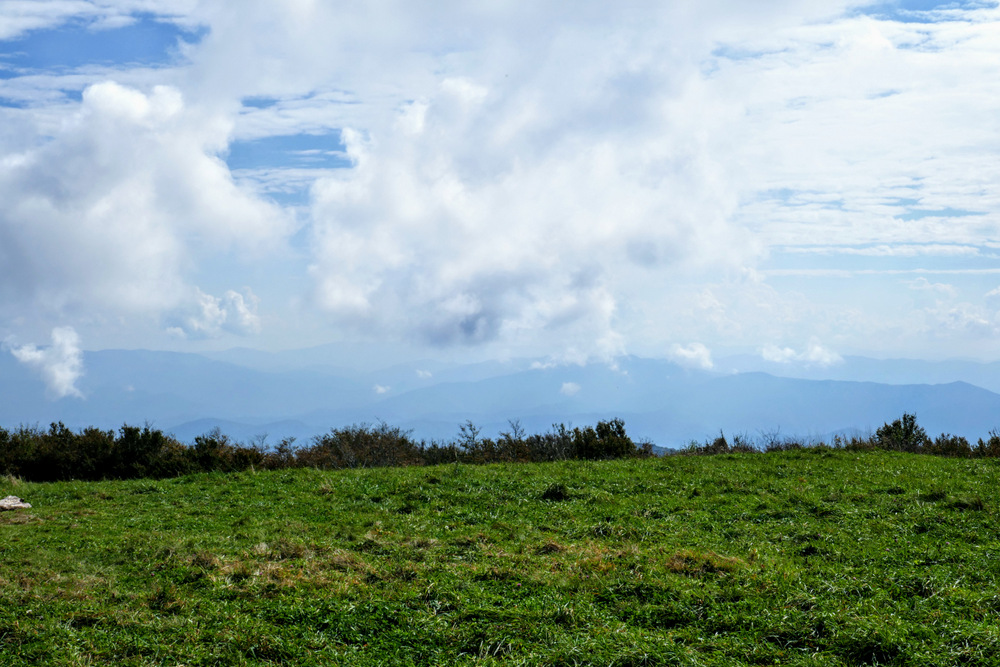
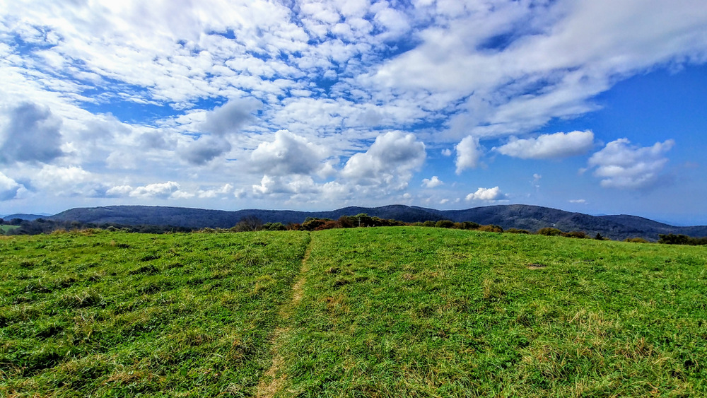
Huckleberry Knob, at 5,580 feet, is the highest peak in the remote Unicoi Mountains of North Carolina and Tennessee. The bald summit is reached by an easy hike from the Cherohala Skyway. Suitable for all levels of hiking experience, the grassy bald provides fantastic 360° views of the Unicoi, Great Smoky, Cheoah, Snowbird, Nantahala, Valley River, Tusquitee, and Cohutta Mountain ranges of southwestern North Carolina, northeastern Georgia, and southeastern Tennessee. This is one of the finest viewpoints in the region, only rivaled by Gregory Bald, Rocky Top, and lookout towers on Shuckstack and Wesser Bald. This is a wonderful spot for a picnic or lazy backcountry camping. While in the area, consider including other nearby trails along the Cherohala Skyway for a full day of short hikes.
-
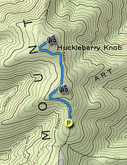
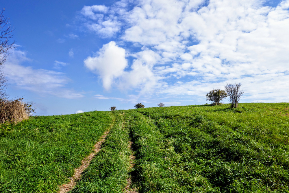
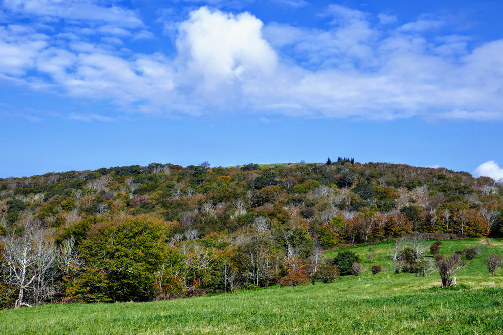
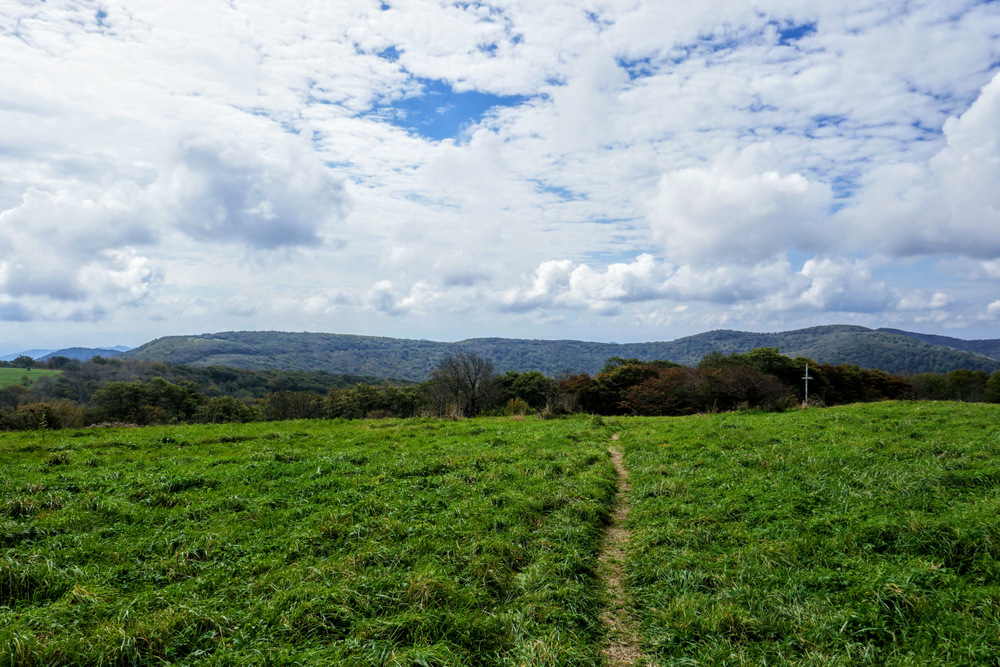
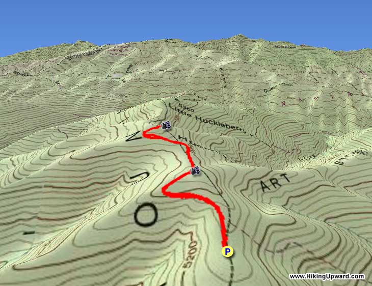
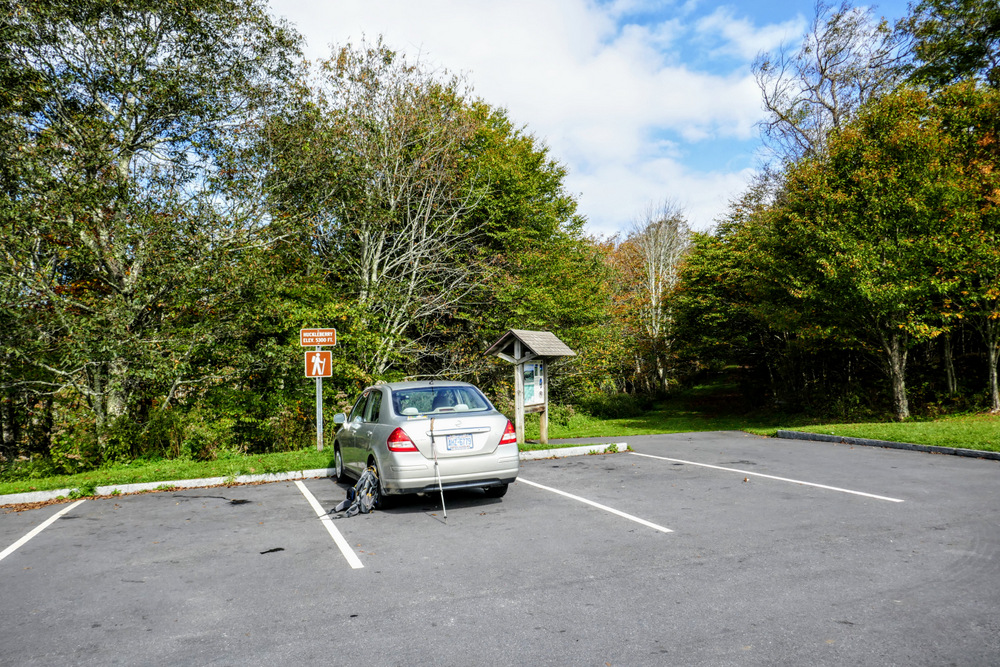
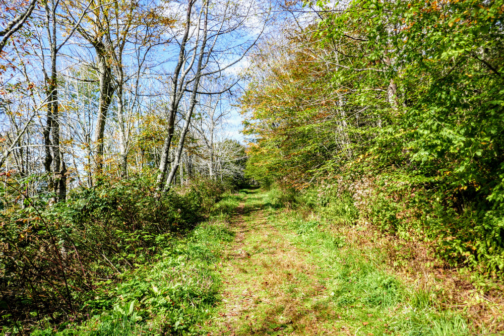
Mile 0.0 – There is space for only a few cars at the Huckleberry Knob Trailhead. If this lot is full, overflow parking is available on the grassy shoulder of the Cherohala Skyway west of the entrance. The Huckleberry Knob Trail [419] follows a forest road track through beech and maple forests.
-
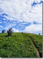
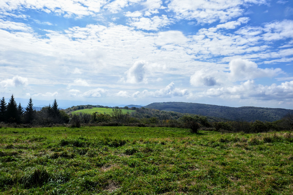
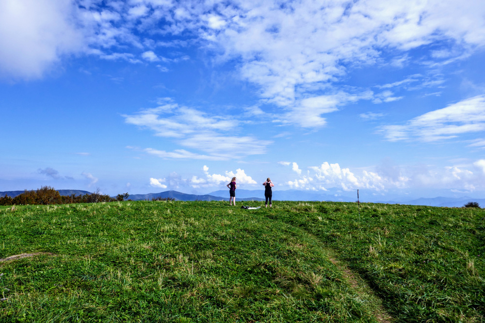
Mile 0.4 – Follow the shoulder of Oak Knob through wide open grassy fields. Ahead of you to the north the grassy bald summit of Huckleberry Knob is visible above the trees.
-
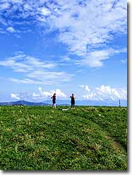
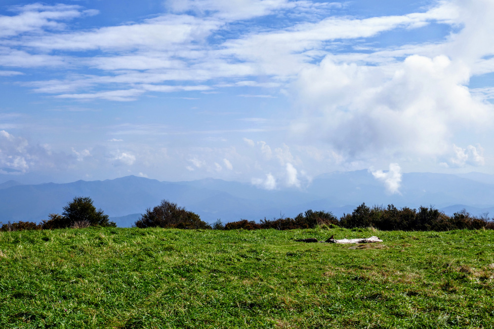
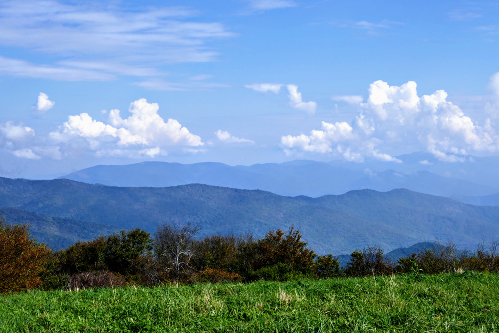
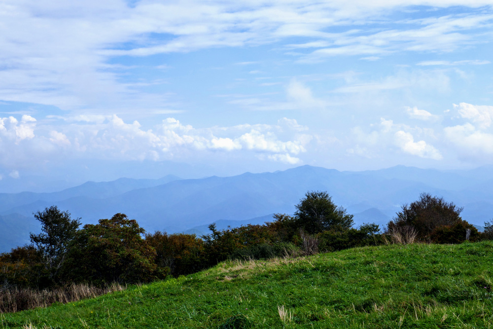
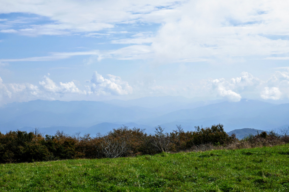
Mile 0.9 – Reach the summit of Huckleberry Knob (5,580 feet), the highest peak in the Unicoi Mountains and the 4th most prominent peak in the Southeastern U.S. From this maintained grassy bald summit you have 360° views of the Unicoi, Great Smoky, Cheoah, Snowbird, Nantahala, Valley River, Tusquitee, and Cohutta Mountain ranges in North Carolina, Tennessee, and Georgia. Due north the broad ridge is Stratton Bald, the highest peak in the Joyce Kilmer-Slickrock Wilderness across the deep Santeetlah Creek watershed. Tracing that ridge to the northeast leads to Naked Ground and Haoe Lead. Beyond this ridgeline in the distance are the southwestern Great Smoky Mountains, including Gregory Bald and Thunderhead Mountain. On a clear day you will see Clingmans Dome in the distant northeast. Lake Santeetlah lies thousands of feet below immediately northeast, with the Yellow Creek Mountains, Cheoah Mountains, and Fontana Lake beyond. The unmistakable pyramidal summit of Cheoah Bald is due east rising above the Nantahala Gorge. The Snowbird Mountains are east-southeast. To find Teyahalee Bald, the highest peak in the range, look for the large cluster of communication towers. Further beyond are the high peaks of the Nantahala Mountains, including Copper Ridge Bald, Wine Spring Bald, and Standing Indian. Towards the south-southeast is the imposing Fires Creek Gorge, formed by the convergence of the Tusquitee and Valley River Mountain ranges. Hooper Bald and Haw Knob rise south-southwest around Big Junction above the Cherohala Skyway. The Unicoi Mountains drop precipitously to the west towards Tellico Plains in Tennessee.
-
Mile 1.8 – Hike ends at the Huckleberry Knob Trailhead.
|

