|
| Length |
Difficulty |
Streams |
Views |
Solitude |
Camping |
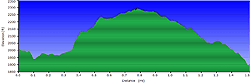
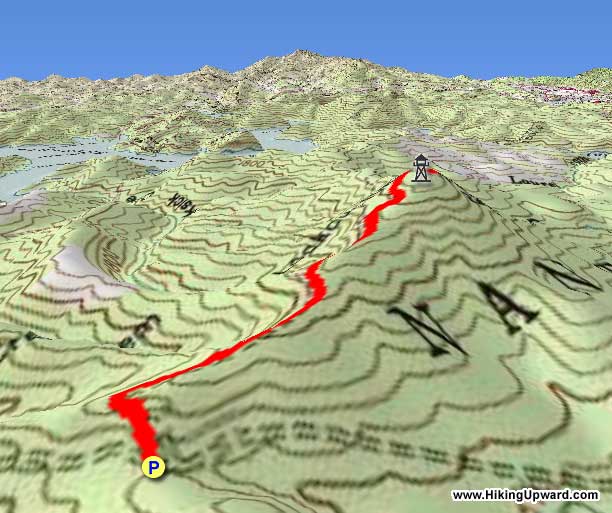
| 1.5 mls |
 |
N/A |
 |
 |
N/A |
Hiking
Time:
Elev. Gain:
Resources: |
45 minutes with 15 minutes of breaks
410 ft
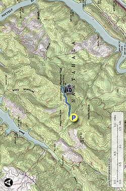
 Topo Hike Trails Map (PDF) Topo Hike Trails Map (PDF)
Ranger, NC Weather Forecast
Garmin (GDB), Gaia/Trails App (GPX) (What's
this?)
3D
View of Route |
 By Trail Contributor: Zach Robbins (Contact Zach) By Trail Contributor: Zach Robbins (Contact Zach)
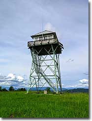
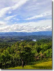
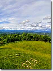
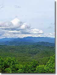
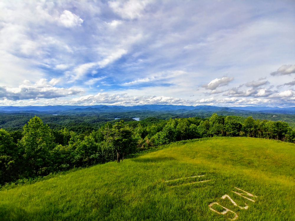
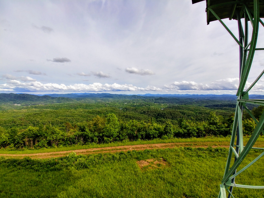
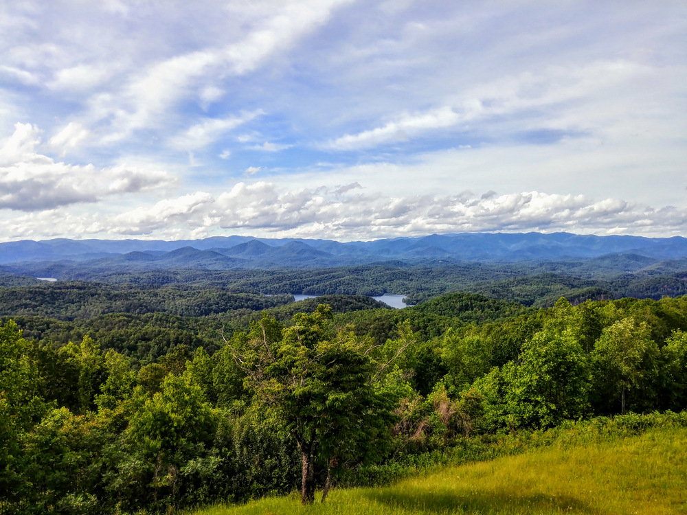
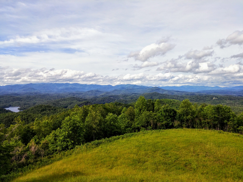
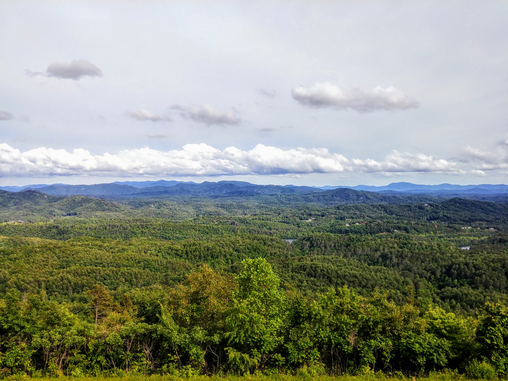
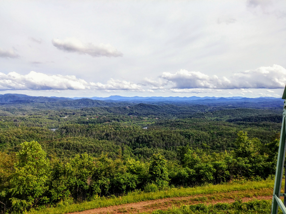
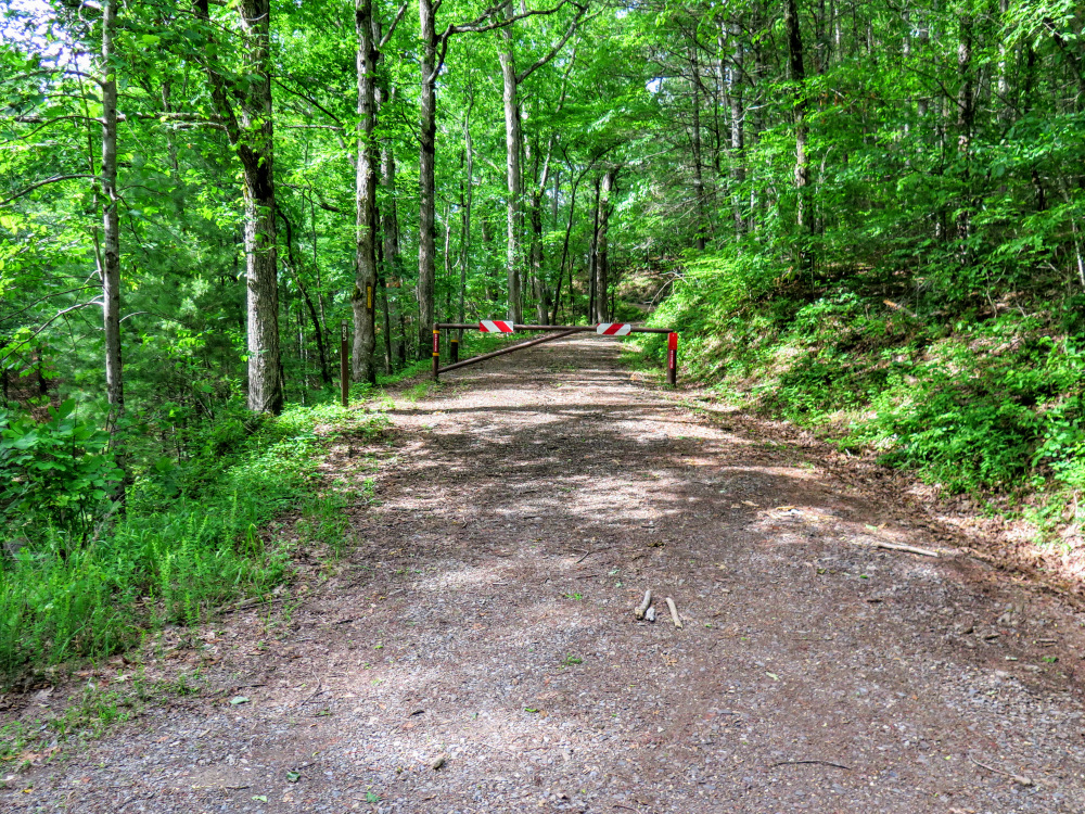
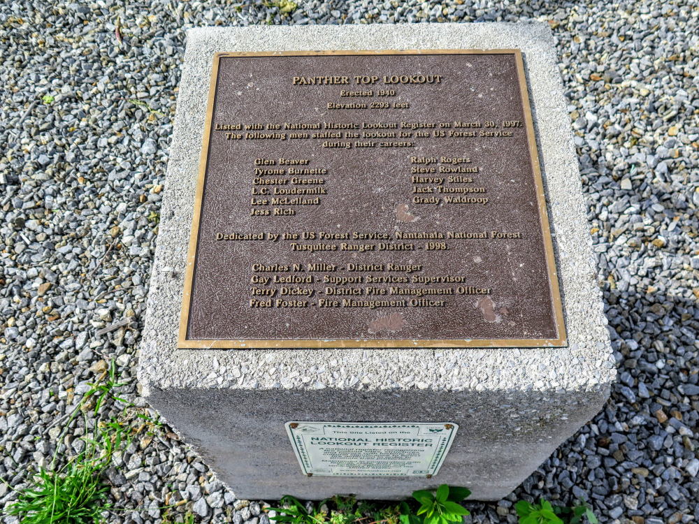
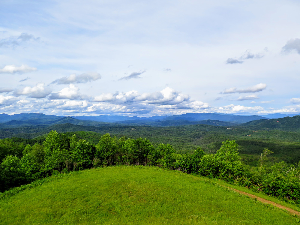
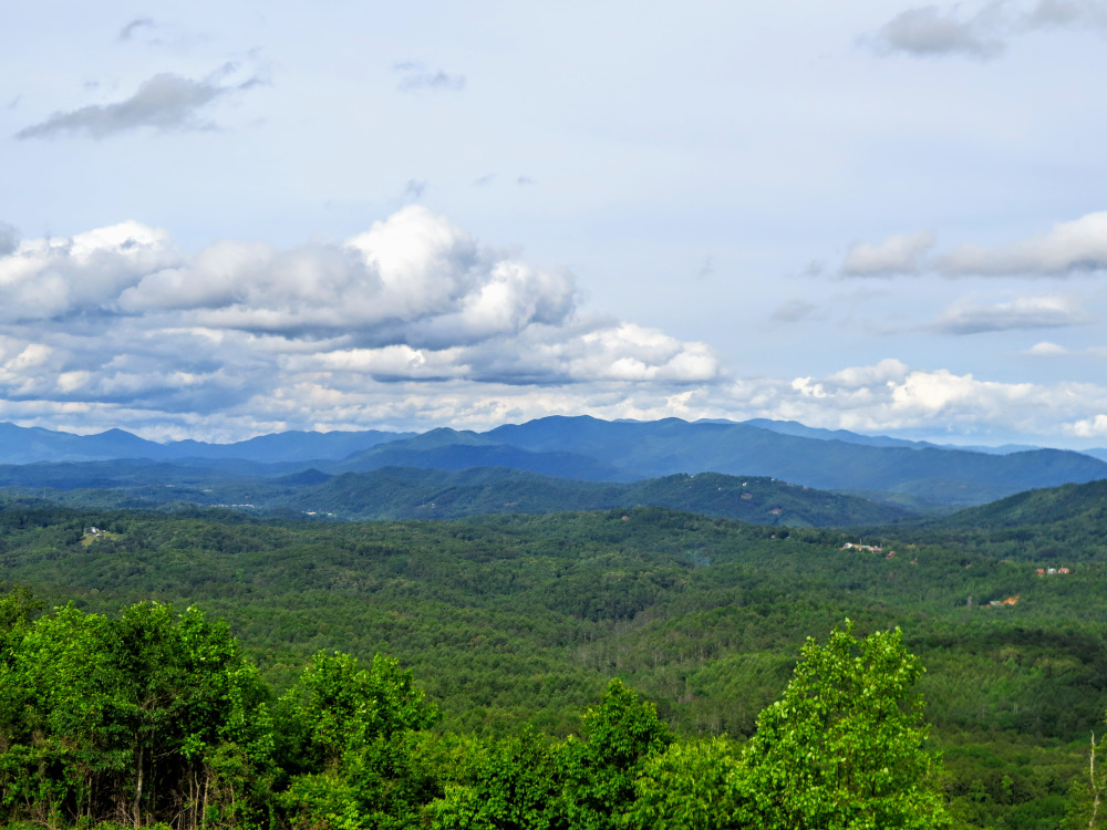
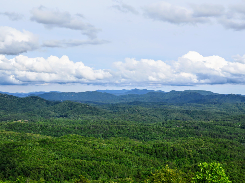
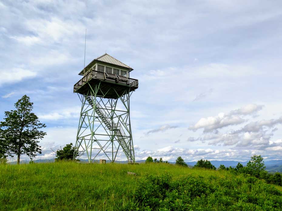
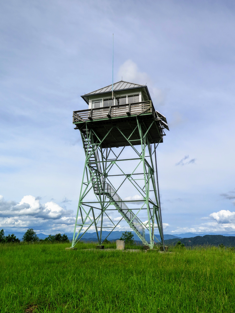
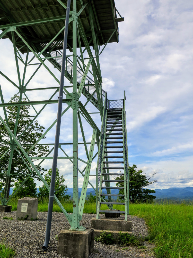
The Panther Top lookout tower is the westernmost tower in North Carolina, located in the southwest corner of the state near Murphy and Hiwassee Lake. Although the mountain appears little more than a hill on a topographic map, the 30-foot tower affords spectacular 270° views of the region. A short, easy walk on gravel FR 85 takes you to the summit of Panther Top (2,293 feet) where you can see the Unicoi, Snowbird, Valley River, Tusquitee, and Georgia Blue Ridge Mountain ranges from the stairs. If you are in the region this easy and accessible hike is a perfect capstone after a day of adventure.
- Mile 1.5 – Hike ends at the gated FR 85 intersection.
|

