|
| Length |
Difficulty |
Streams |
Views |
Solitude |
Camping |
| 12.5 mls |
 |
N/A |
 |
 |
 |
Hiking
Time:
Elev. Gain:
Resources: |
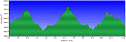
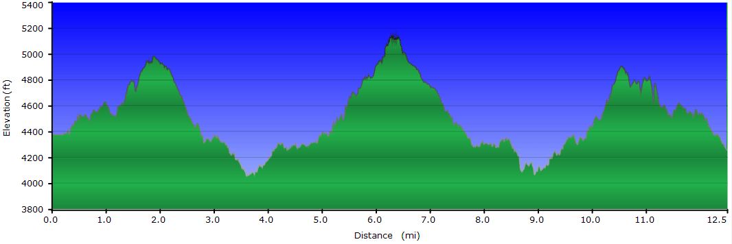
6 hours with 1 hour of breaks
3,020 ft
 Topo Hike Trails Map (PDF) Topo Hike Trails Map (PDF)
Highlands, NC Weather Forecast
Garmin (GDB), Gaia/Trails App (GPX) (What's
this?)
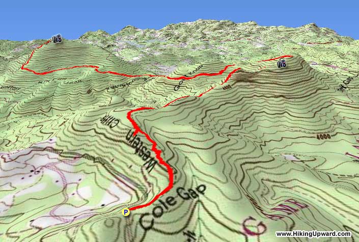
3D
View of Route |
 By Trail Contributor: Zach Robbins (Contact Zach) By Trail Contributor: Zach Robbins (Contact Zach)
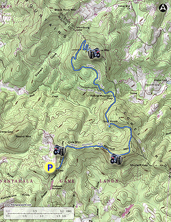
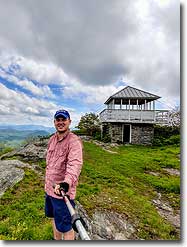
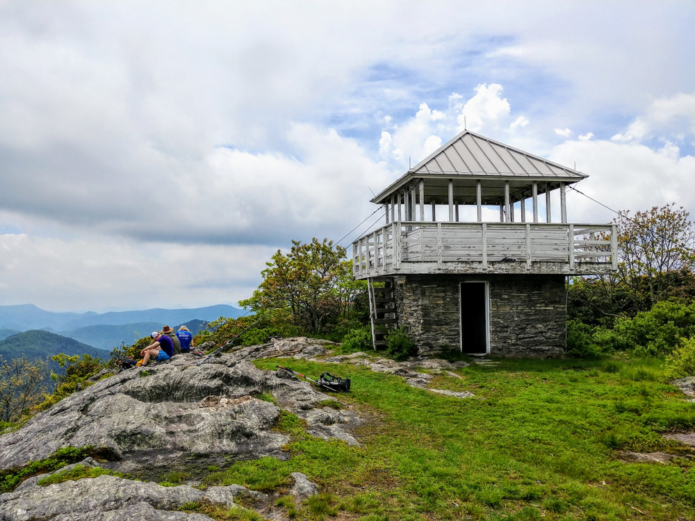
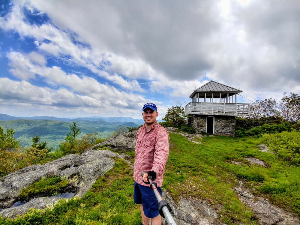
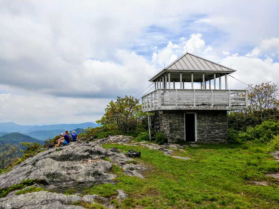
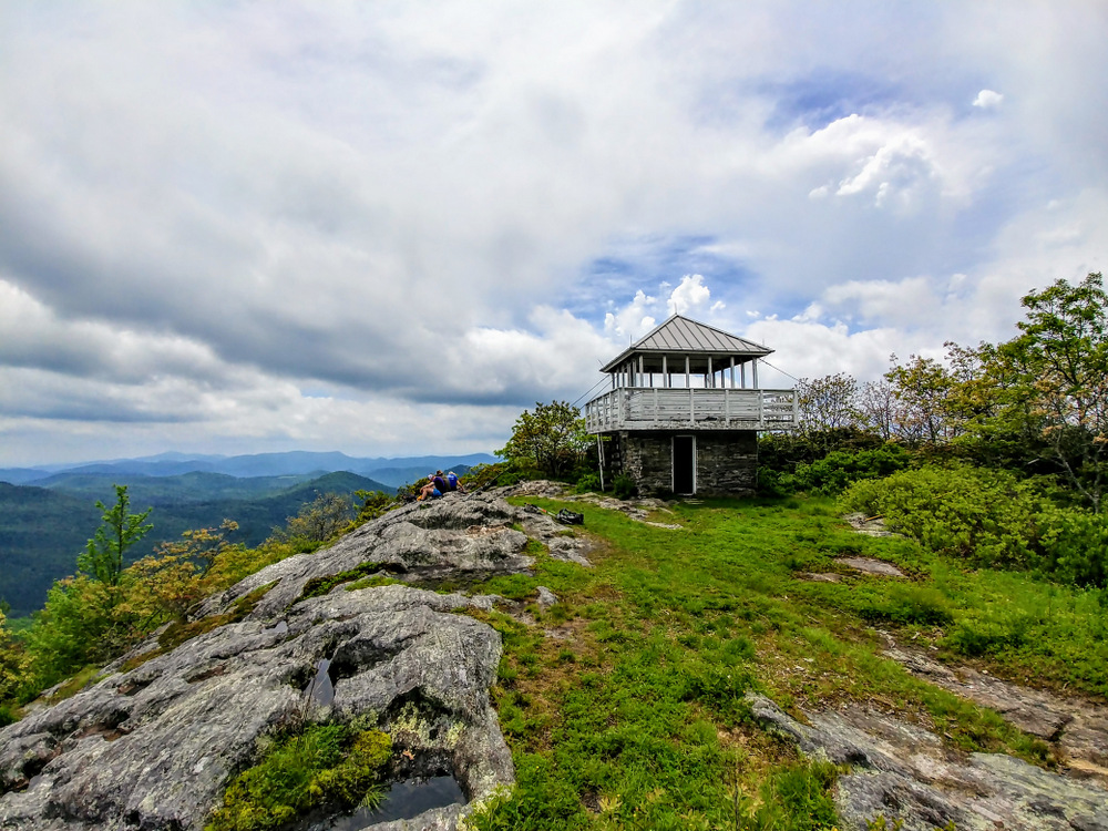
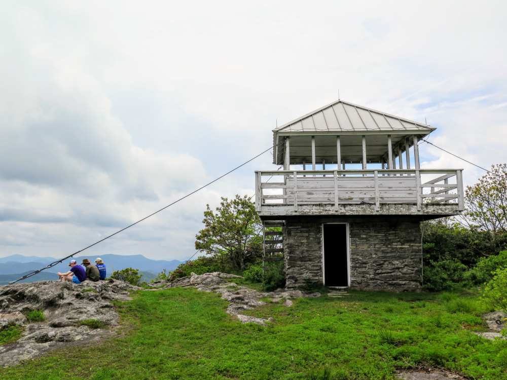
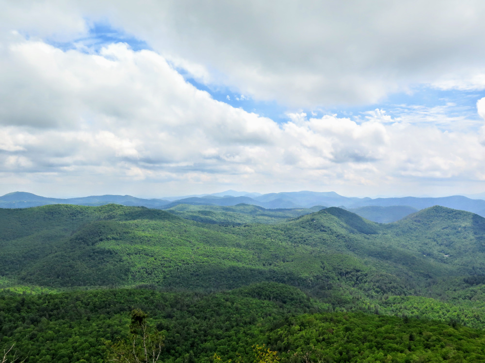
Yellow Mountain, the tallest peak in the Cowee Mountains at 5,127 feet, features one of the smallest and most isolated lookout towers in the state of North Carolina. The only way to publicly access the tower is by the 6.2-mile Yellow Mountain Trail, which begins at Cole Gap on the east side of the Cullasaja River Gorge in Nantahala National Forest. You'll start at a high elevation and never dip below 4,100 feet, but the distance and elevation gain makes this a moderately difficult hike. Initially you’ll follow a plateau through beautiful woodlands towards Shortoff Mountain. Although the summit is forested, there is a nice view from a rock slab to the southwest. In between Shortoff Mountain and Yellow Mountain is a long trek through Yellow Mountain Gap with many trail reroutes. Fortunately, blazes and signs point the way and it is difficult to get off track here. After Yellow Mountain Gap is a long, winding climb to the top of Yellow Mountain. The open summit holds a small, wooden lookout tower, built in 1934. Although the tower doesn’t provide the clearance necessary for 360° views, the open rock on the south side features a beautiful panorama of the region. You can see Panthertown Valley to the east, Whiteside Mountain and Shortoff Mountain immediately south, and Rabun Bald to the southwest. Don’t linger too long on the summit, the 6.2-mile trek back is tougher than the first half of this hike.
| Mile Summary and Highlights |
0.4 - Western Cliffs overlook
1.8 - Southern views from Shortoff Mountain
3.0 - Trail follows FR 4541 towards Yellow Mountain Gap
3.5 - Multiple turns avoiding private property through Yellow Mountain Gap
6.2 - Yellow Mountain summit (5,127 feet) and lookout tower |
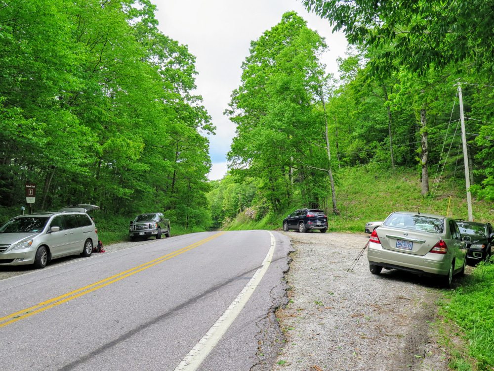
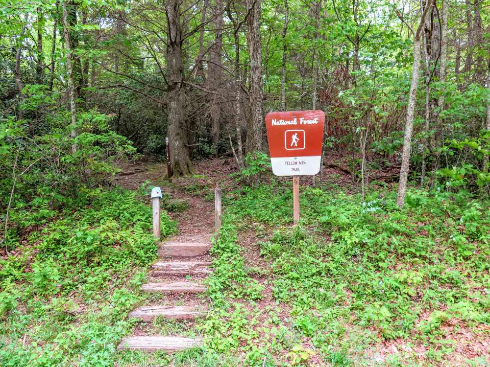
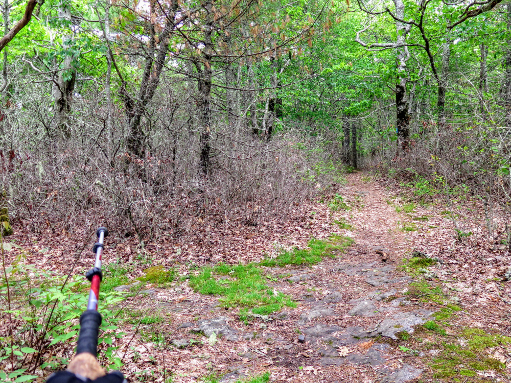
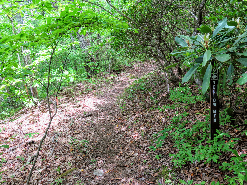
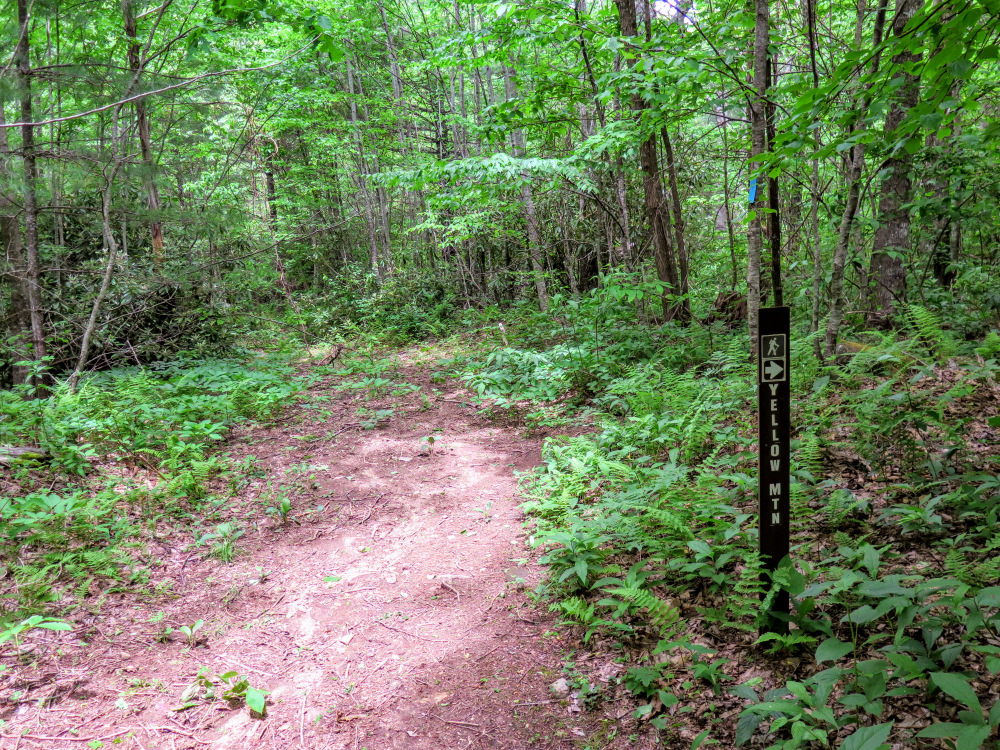
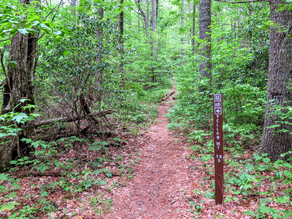
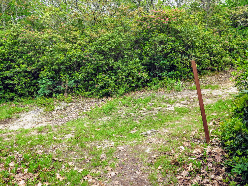
- Mile 0.0 – There is parking available at Cole Gap for about 8-10 cars. The Yellow Mountain Trail [5] (blue blaze) begins on the east side of Buck Creek Road. Initially the trail climbs north along the Western Cliffs.
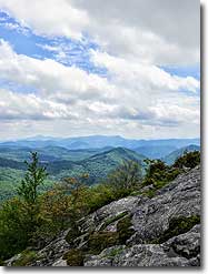
- Mile 0.4 – A short side trail on the left leads to a narrow overlook on the Western Cliffs.
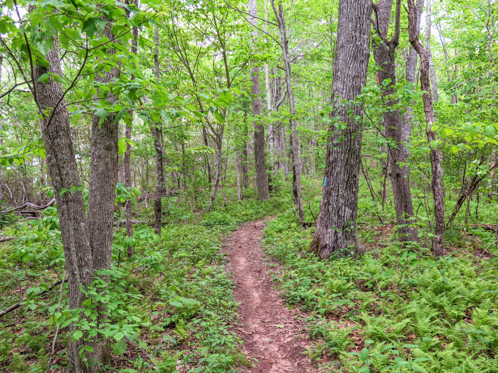
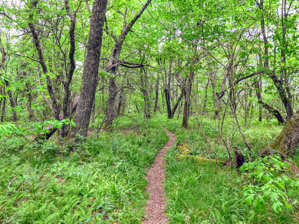
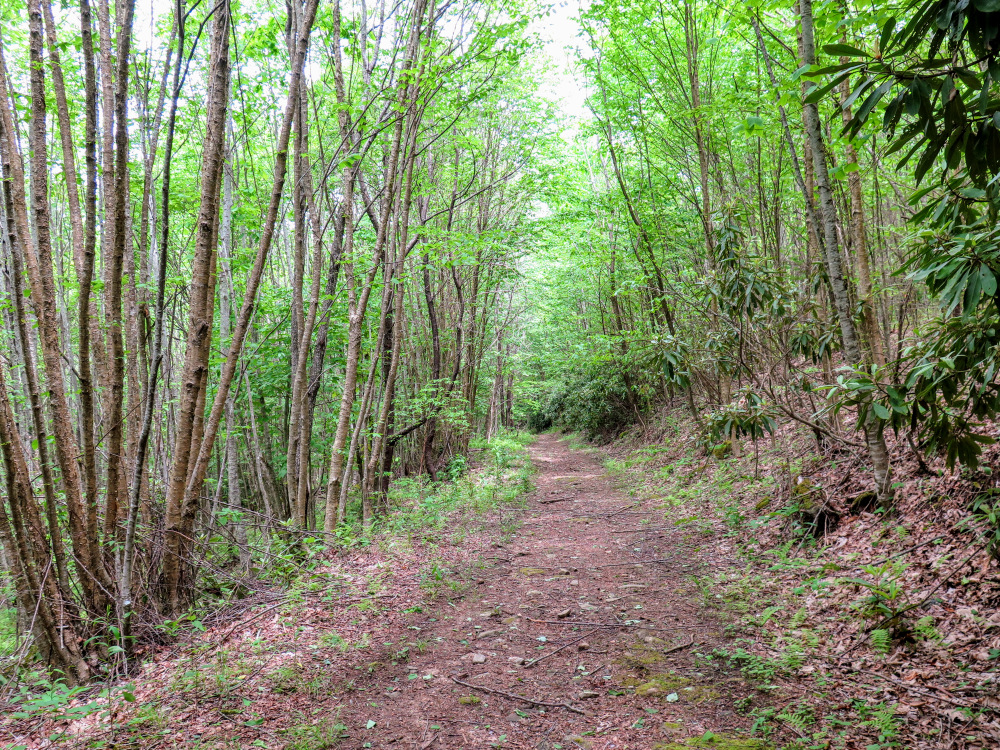
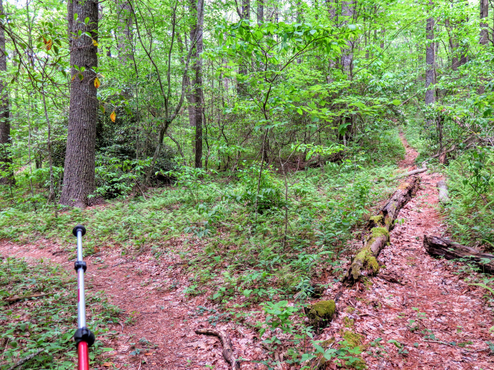
- Mile 0.7 – The trail turns east and bypasses the summit of Cole Mountain. You’ll be following a high plateau that connects Cole Mountain and Shortoff Mountain through a verdant forest.
- Mile 1.3 – Begin a short section of switchbacks up Shortoff Mountain.
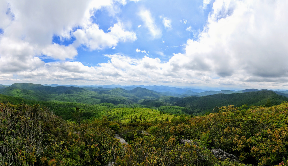
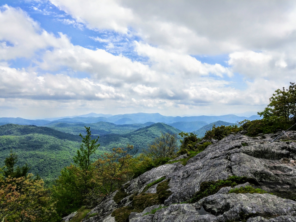
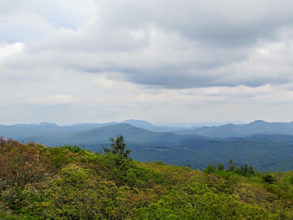
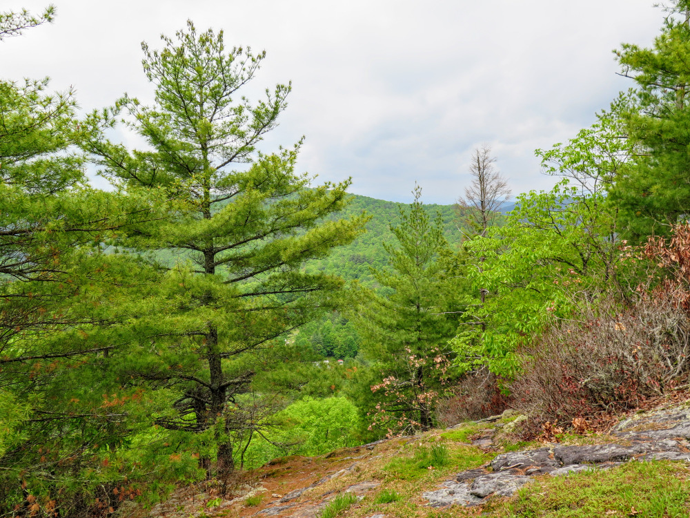
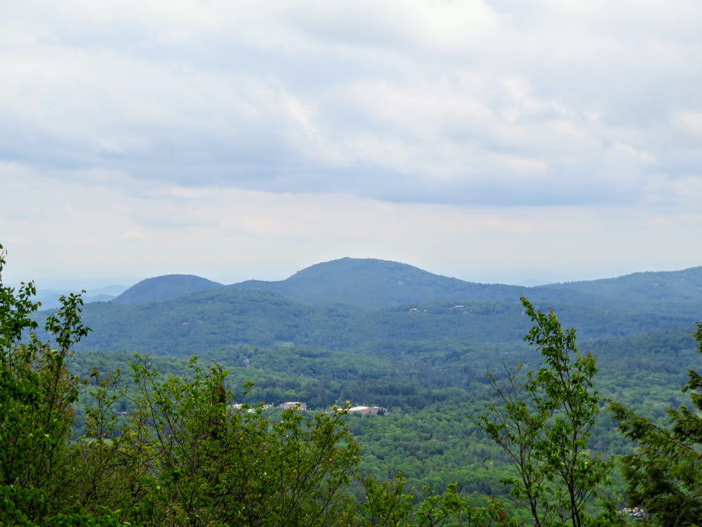
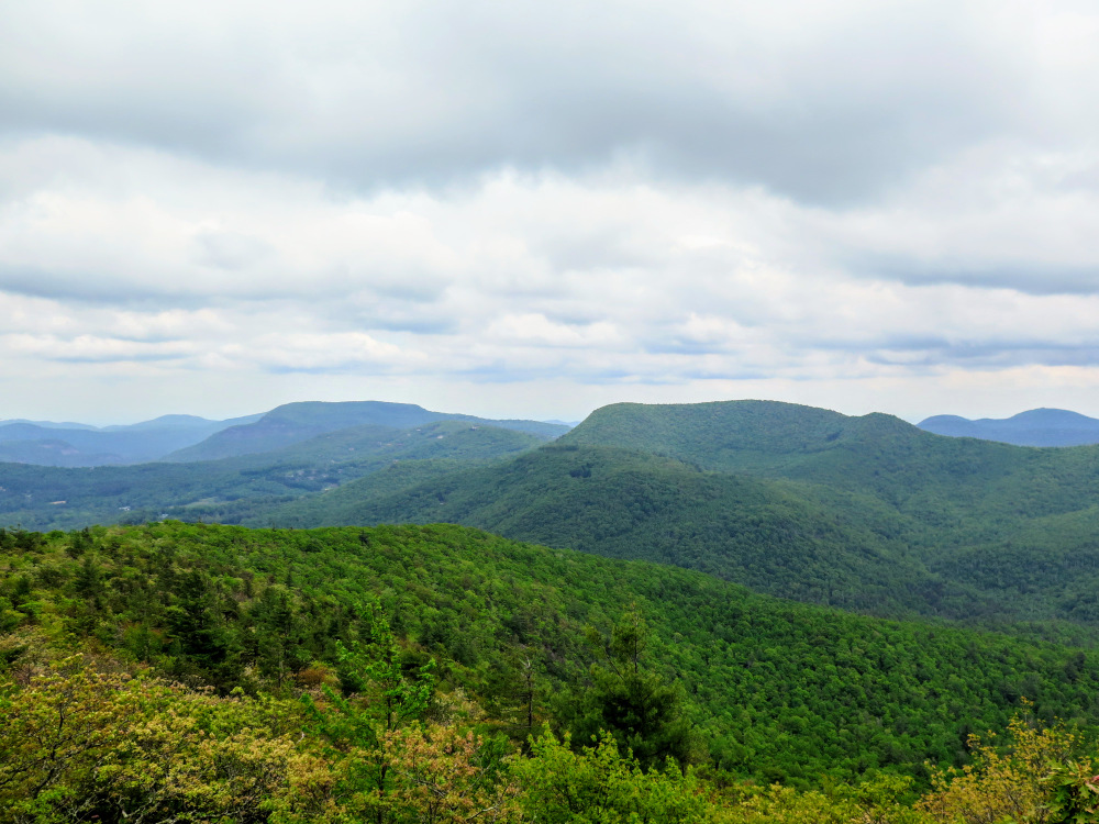
- Mile 1.8 – A side trail on the right leads to rock slabs with open views south. Fishhawk Mountain is the massif on the right, Rabun Bald is the conical peak in the center, and Satulah Mountain on the left with a small bump at the summit.
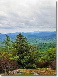
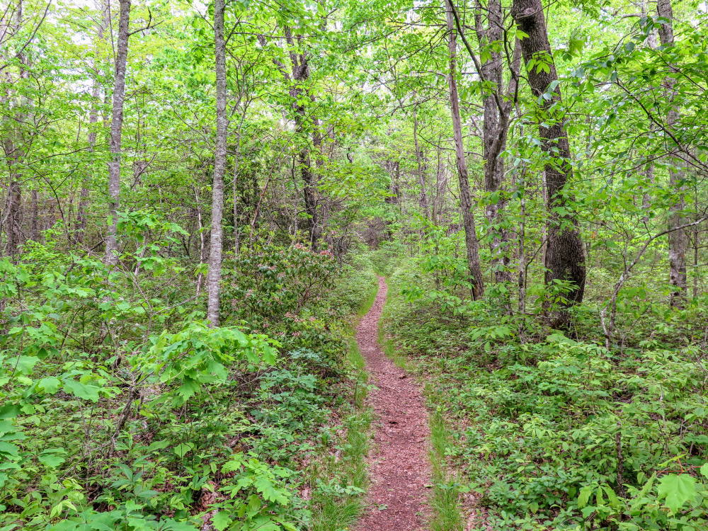
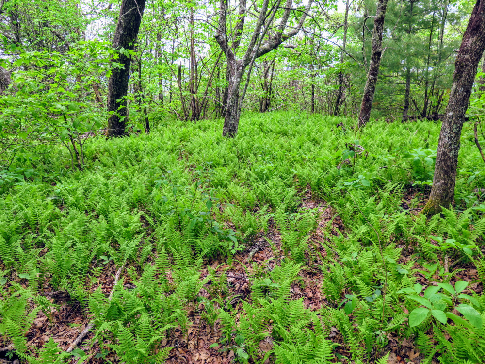
- Mile 1.9 – Cross the forested summit of Shortoff Mountain, the second tallest peak in the Cowee Mountains at 5,020 feet. Although there are no views, the forest is vibrant with a lush understory of ferns and grasses lining the trail.
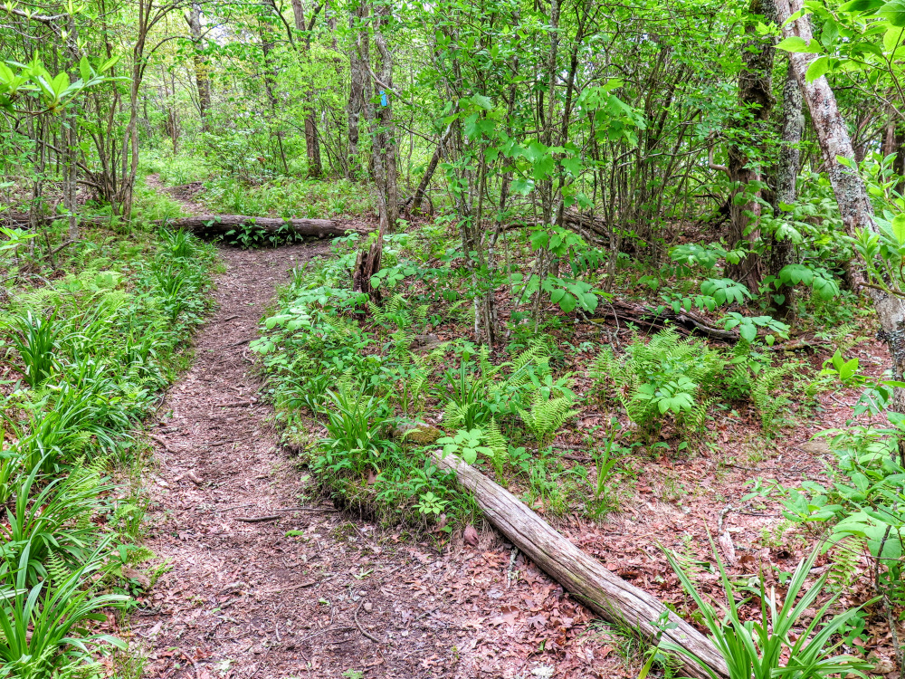
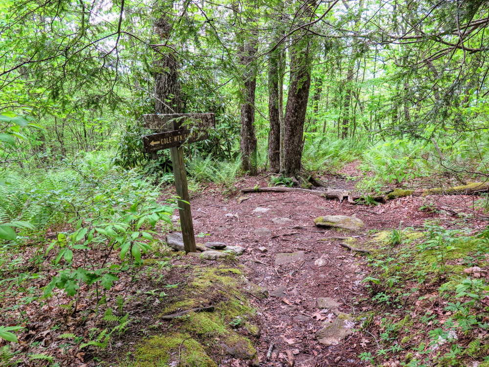
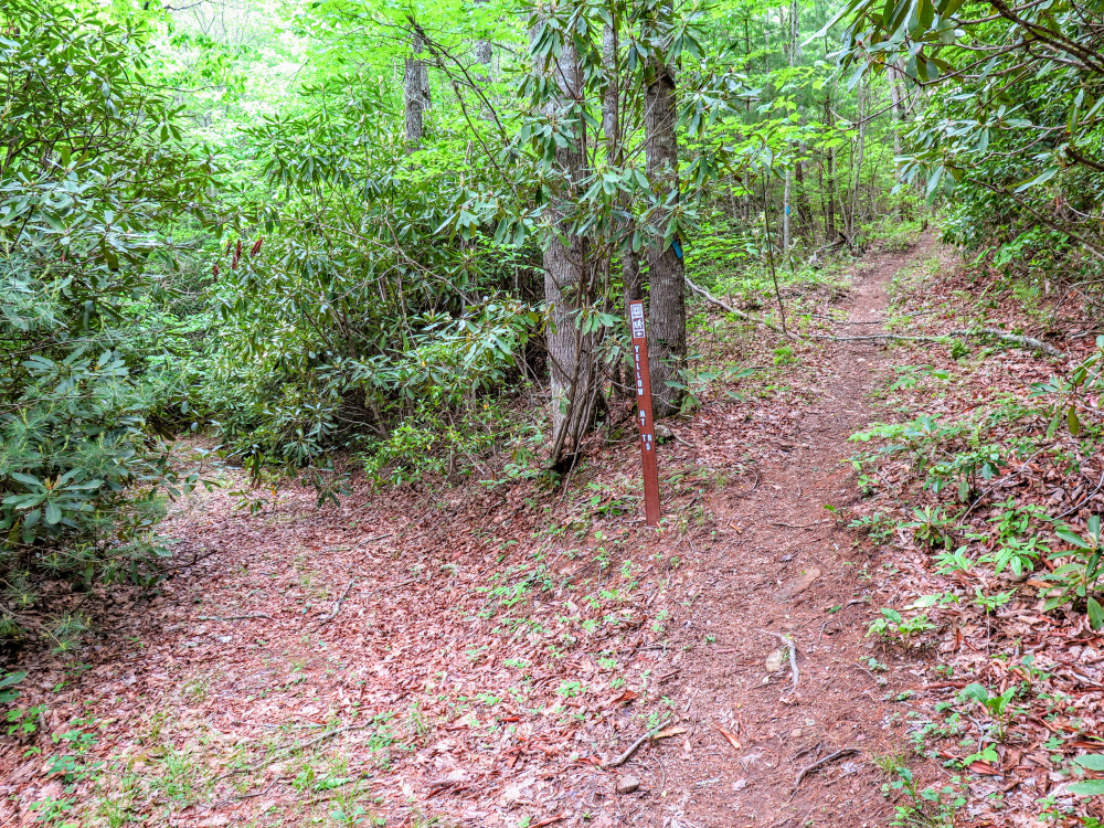
- Mile 2.4 – At a T-junction the trail makes a left turn while an old trail continues straight. A sign points the way. Continue the long descent towards Yellow Mountain Gap.
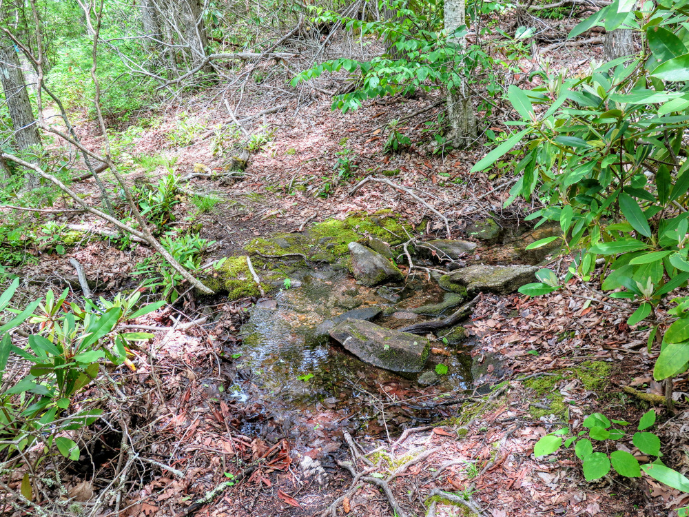
- Mile 3.0 – Pass over a spring. In approximately 100 feet walk through a Y-junction with a heavily overgrown forest road on the left. You will now be following FR 4541 for the next half-mile.
- Mile 3.5 – The trail turns right at a Y-junction leaving the forest road. The trail has been rerouted through Yellow Mountain Gap to avoid private property to the east. There are multiple turns but everything is well-signed.
- Mile 3.6 – Reach the low point of the hike at Yellow Mountain Gap. Turn left at a Y-junction, the former trail continues straight.
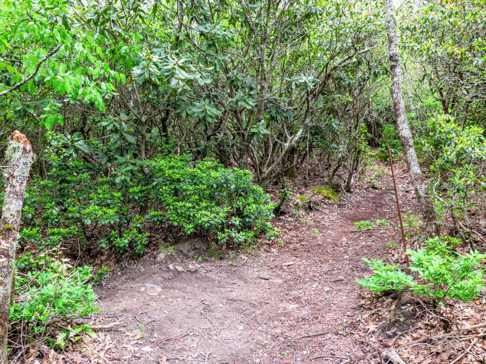
- Mile 4.1 – Turn right at a Y-junction leaving the forest road grade. You will gradually climb the west side of Yellow Mountain for the next 2 miles.
- Mile 6.15 – Continue straight through a T-junction with a private 4WD trail on the left. In 150 feet turn right at a T-junction with another private road.
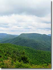
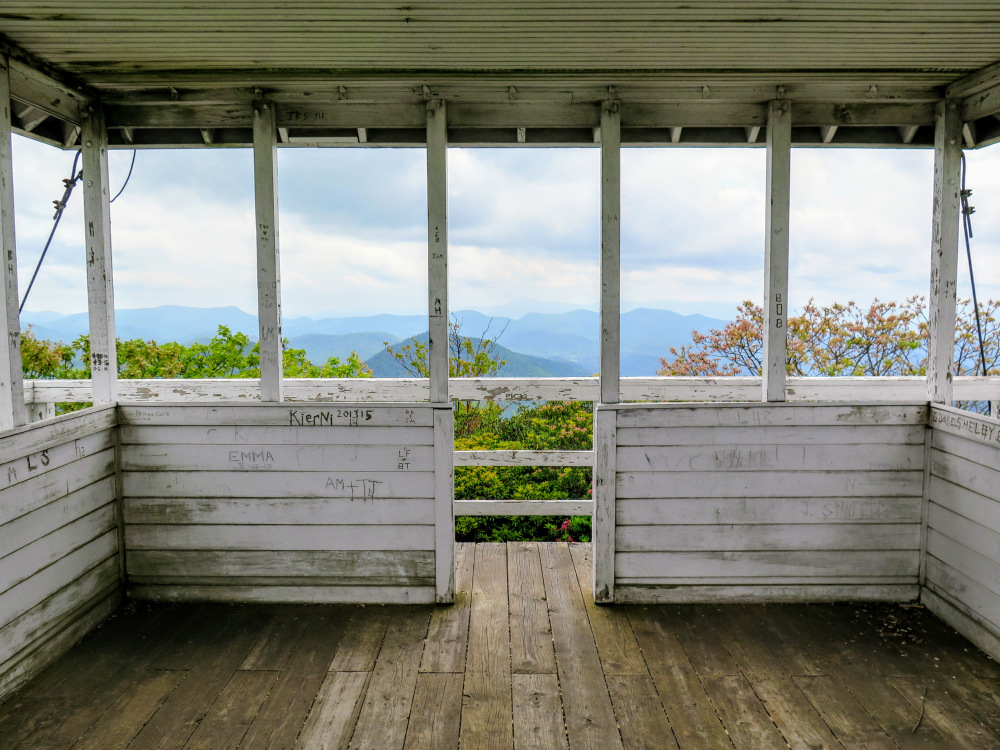
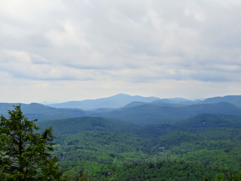
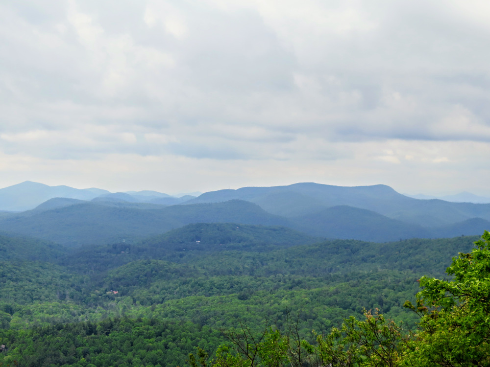
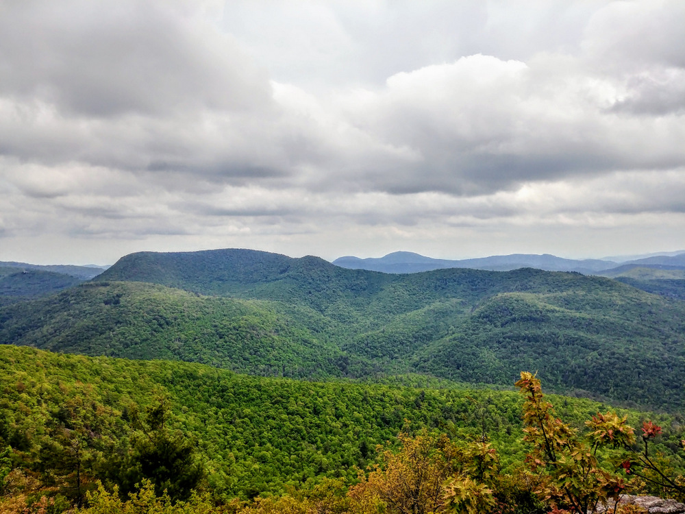
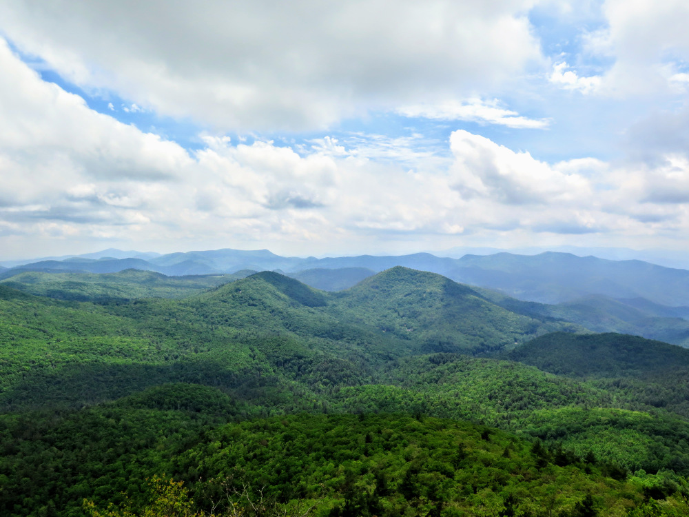
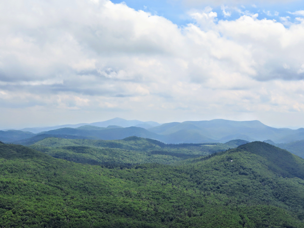
- Mile 6.25 - The trail ends at Yellow Mountain, the tallest peak in the Cowee Mountains at 5,127 feet. The quaint wooden lookout tower, built in 1934, was constructed 7.5 feet off the ground on a stone foundation. From the tower and from the massive exposed rock you will have long distance views to the east, south, and west. Due east are the peaks of Panthertown Valley, most notably the “Great Wall” of Big Green Mountain and the immense Toxaway Mountain. There are two large, box-shaped summits south and southeast. Immediately south across Yellow Mountain Gap is Shortoff Mountain, which you crossed earlier. On the left is Whiteside Mountain, home of the tallest cliffs in the East. Across the Cullasaja River Gorge to the southwest is the Fishhawk Mountain massif, with the conical Rabun Bald of Georgia in the distance. On clear days you can see the tallest peaks of the Nantahala Mountains to the west across the Little Tennessee River Valley, most notably Standing Indian, Wayah Bald, and Wesser Bald.
- Mile 12.5 – Hike ends at Cole Gap.
|
