| Length |
Difficulty |
Streams |
Views |
Solitude |
Camping |
| 4.7 mls |
 |
 |
 |
|
N/A |
Hiking
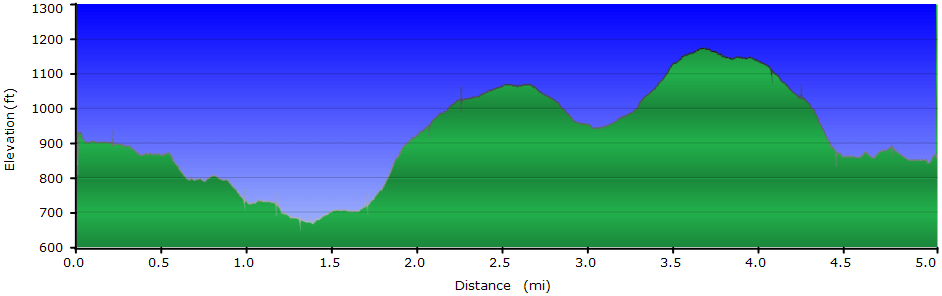
Time:
Elev. Gain:
Links:
Resources: |
2.5 hours
plus a half hour for lunch
710 ft
 Greenbrier State Park State Park Greenbrier State Park State Park
Topo Hike Trails Map (PDF)
Mt Lena Weather Forecast
Garmin (GDB), Gaia/Trails App (GPX) (What's
this?) |
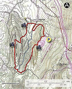
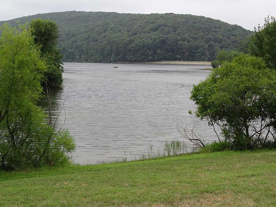
 Greenbrier State Park, just off I270, is another of Marylands wonderful recreation areas, with everything from picnicking, camping, watersports, hiking, and much more. The hiking is on the easy side, with a multitude of interconnecting trails. The hike we have here follows the 4.7 mile Big Red Trail circuit. Greenbrier State Park, just off I270, is another of Marylands wonderful recreation areas, with everything from picnicking, camping, watersports, hiking, and much more. The hiking is on the easy side, with a multitude of interconnecting trails. The hike we have here follows the 4.7 mile Big Red Trail circuit.
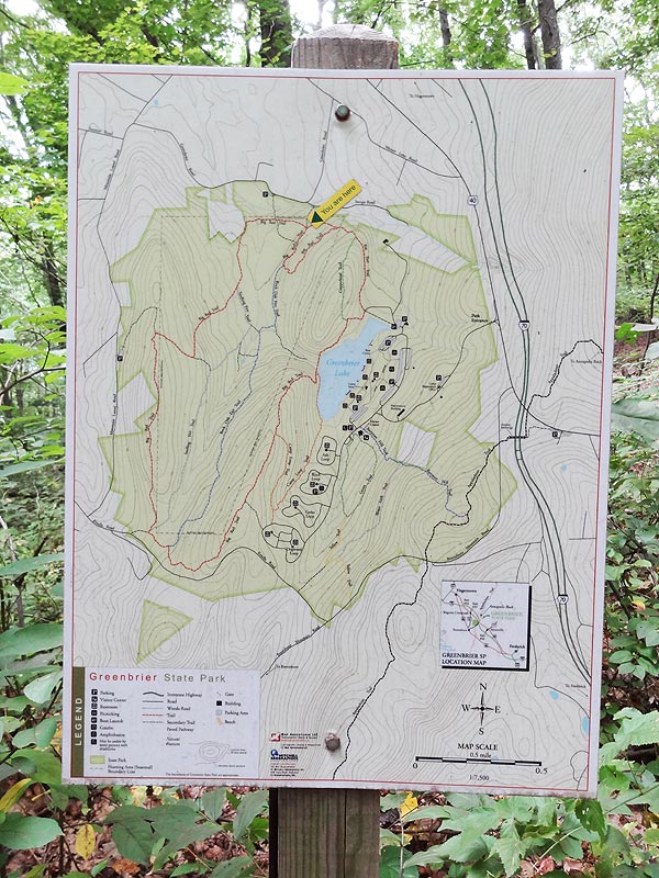
Navigating the the labyrinth of trails at the park is made easy with excellent intersection singe. For this hike all you have to do is stay on the Big Red Trail.
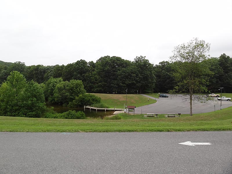
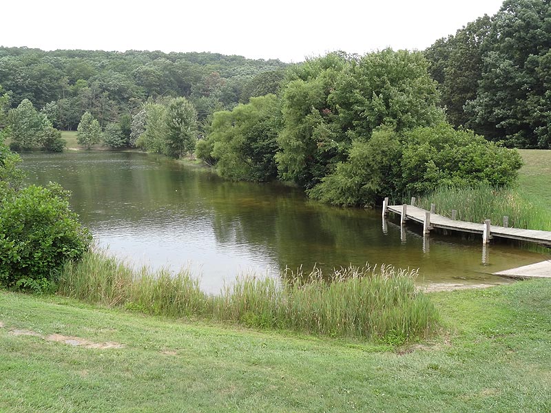
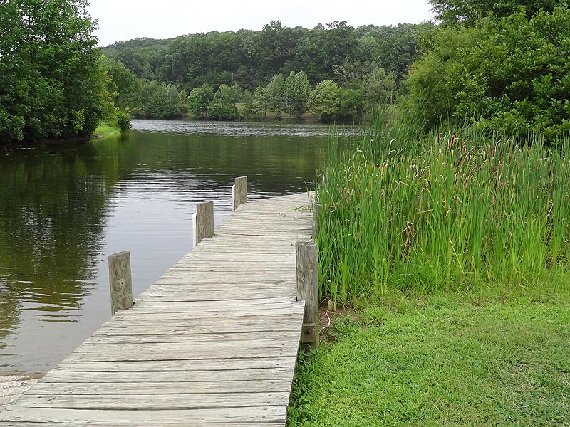
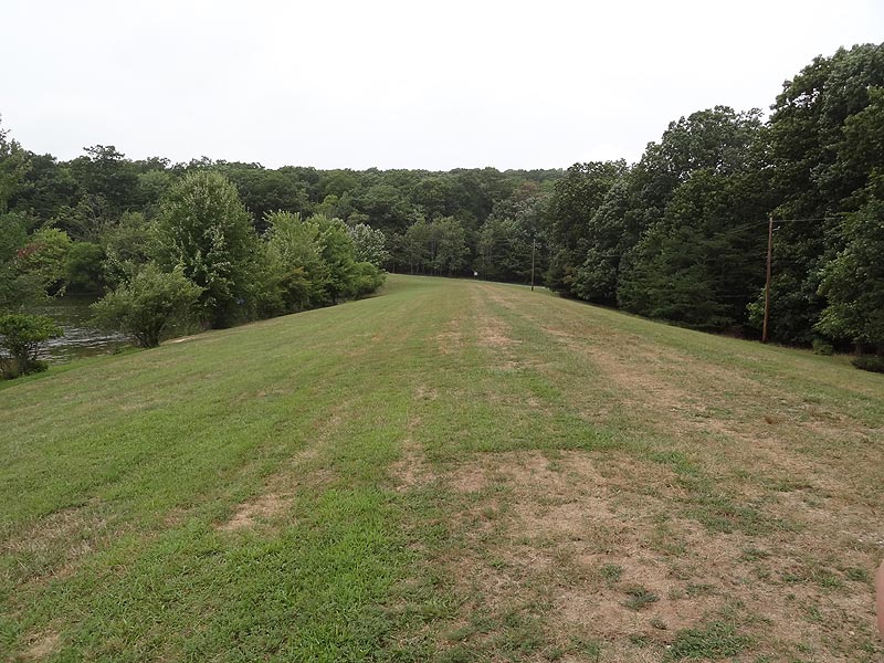
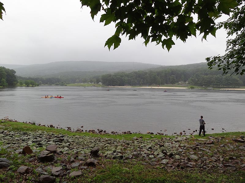
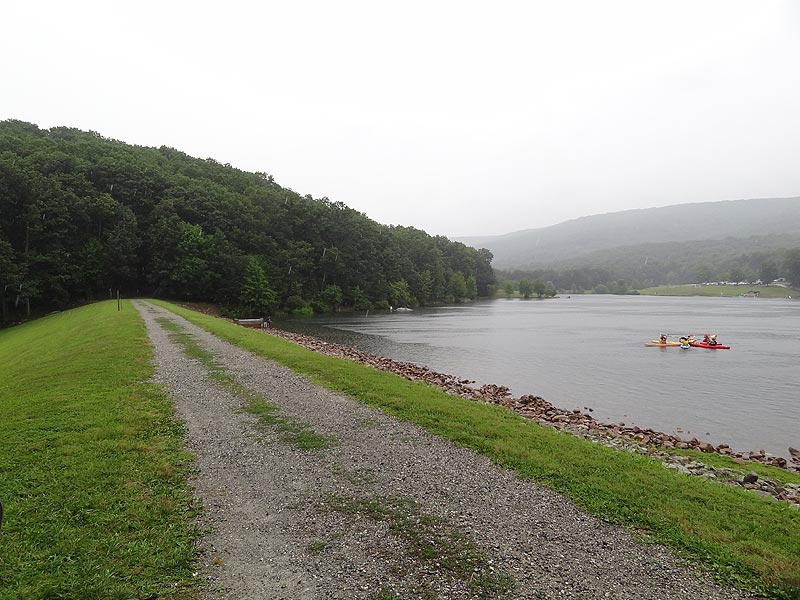
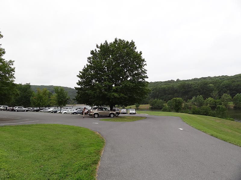
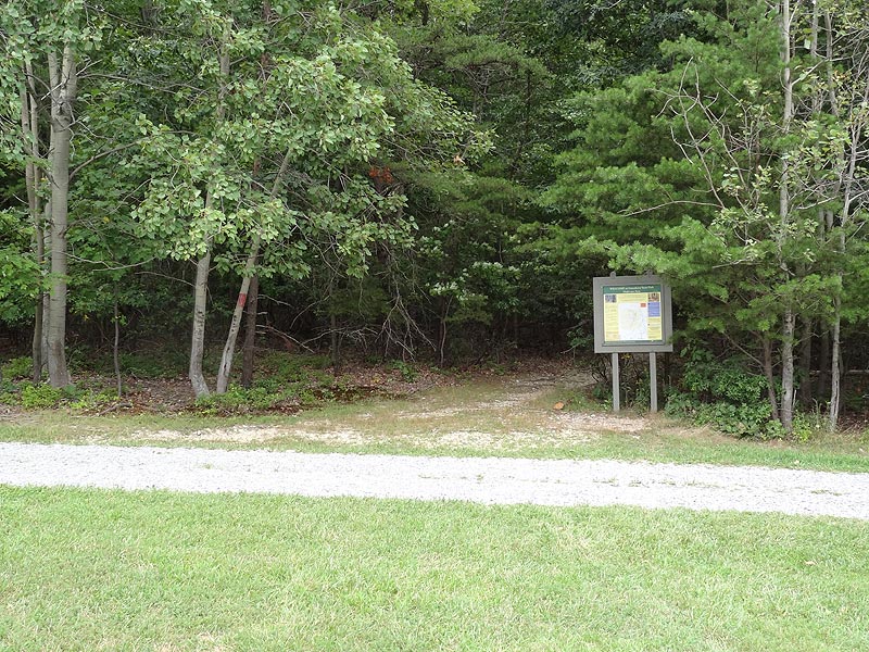
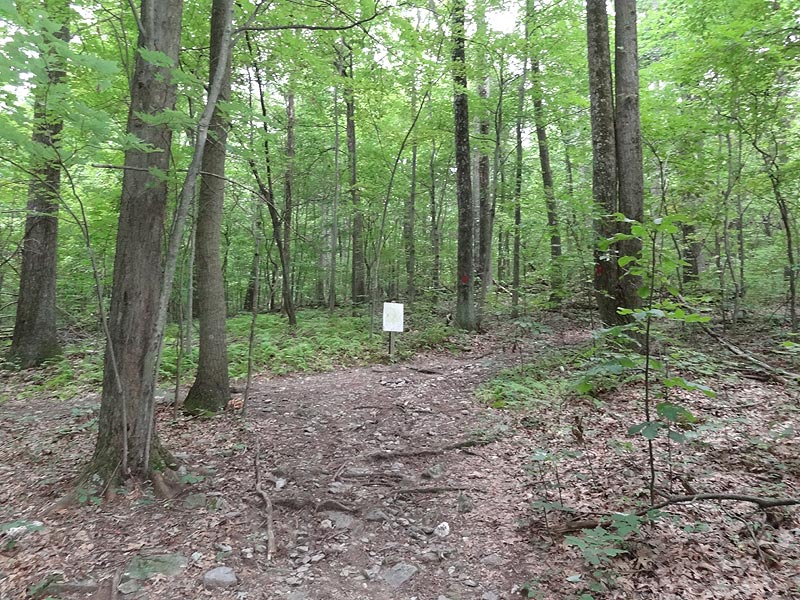
From the parking area, walk along the raised burn on the edge of Greenbrier Lake to the treeline where a Information Kiosk marks the beginning of the Big Red Trail.
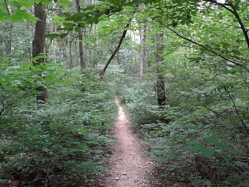
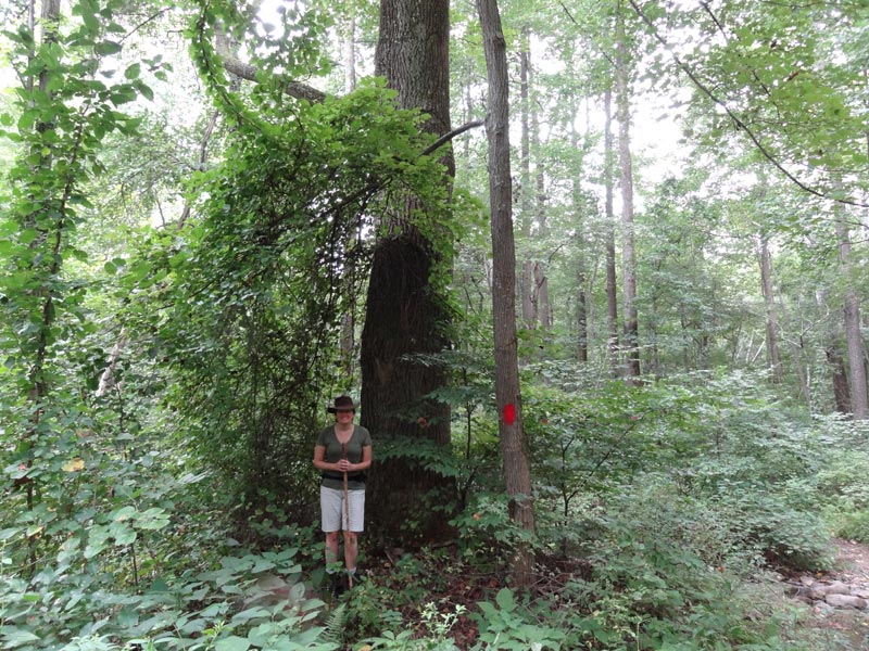
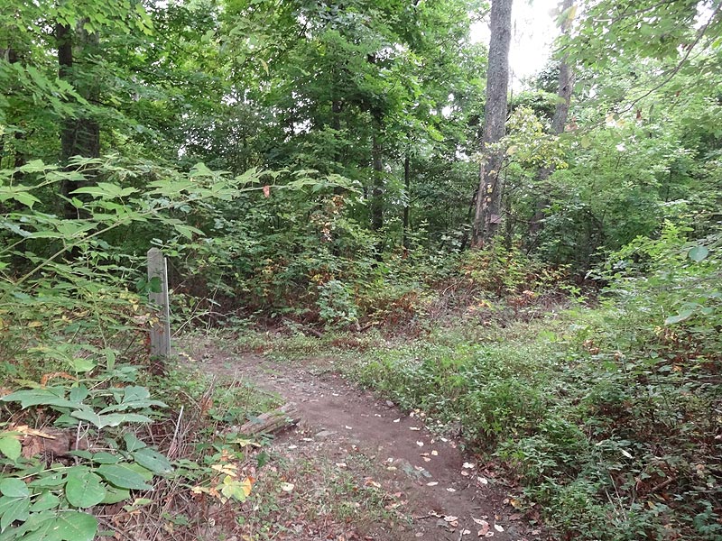
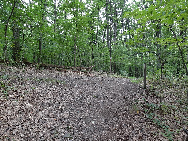
Enter the forest as the big Red Trail gradually climbs over the first small hill and passes the green blazed Copperhead Trail. Follow the trail to the left where it makes a switchback at the intersection of blue blazed Rock Oak Fire Trail, then continue for a short distance to a four way intersection.
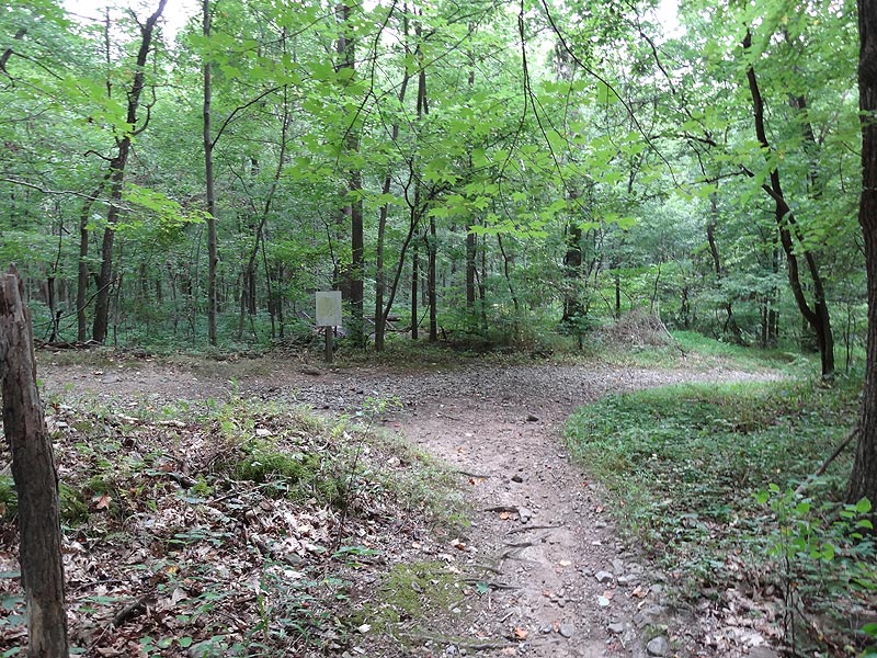
Turn left at the intersection remaining on the Big Red Trail as it passes thought the quieter western section of Greenbrier State Park. You will pass two more intersections before the Big Red Trail makes a sharp right uphill for the steepest section of the loop.
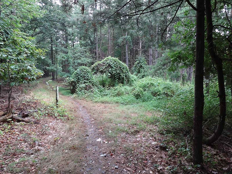
There is another intersection that leads to a parking area at the top of Short Hill. Remain left on the Big Red Trail as it follow the ridge of Short Hill and passes the Snelling Fire Trail on the left, and shortly thereafter passing the opposite end of the blue blazed Rock Oak Fire Trail.
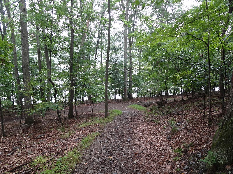
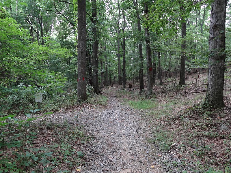
The Big Red Trail will make a gradual ascent, before descending and passing the orange blazed Camp Loop Trail, that as the name implies, goes to the camping area.
Arrive back at Greenbrier Lake and stay left as the trail passes over the dam before making its way back around to the start of the loop and Information Kiosk. Cross back over the burn returning to the parking area. |


