
|
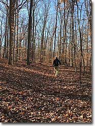
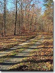
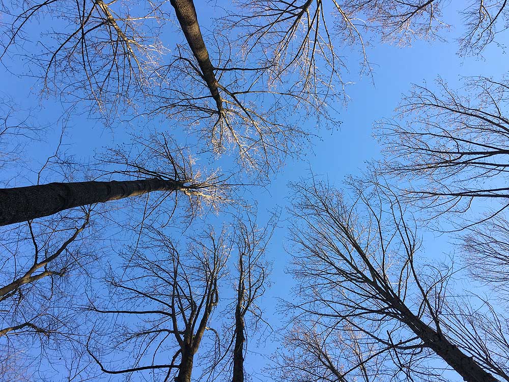
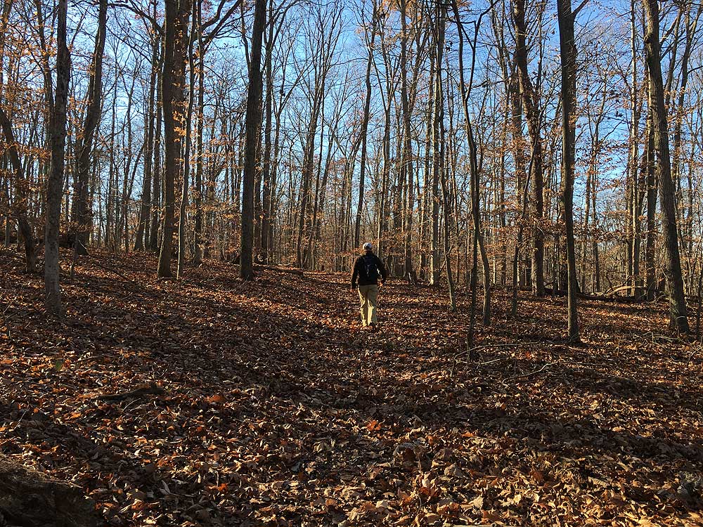
 Little Bennett Regional Park has a labyrinth of over 21 miles of trails in its 3,700 acres. There are also 16 historic sites in the park that can be found in the full brochure. This hike utilizes the hiker-only trails on the south side of the park, with woods, stream crossings, and rolling hills. Also check out the northern circuit with its multi-use trails and large fields and wetlands. Either hike has an abundance of wildlife, and the park is a favorite of bird watchers as well as mountain bikers alike. Little Bennett Regional Park has a labyrinth of over 21 miles of trails in its 3,700 acres. There are also 16 historic sites in the park that can be found in the full brochure. This hike utilizes the hiker-only trails on the south side of the park, with woods, stream crossings, and rolling hills. Also check out the northern circuit with its multi-use trails and large fields and wetlands. Either hike has an abundance of wildlife, and the park is a favorite of bird watchers as well as mountain bikers alike.
If you're looking for a great boy scout camping area, the hike-in campsite on the Purdum Trail is one of the best we've seen this close to the DC metro area. Open from March through November, the site can be reserved for a nominal fee at 301-528-3430.
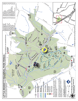
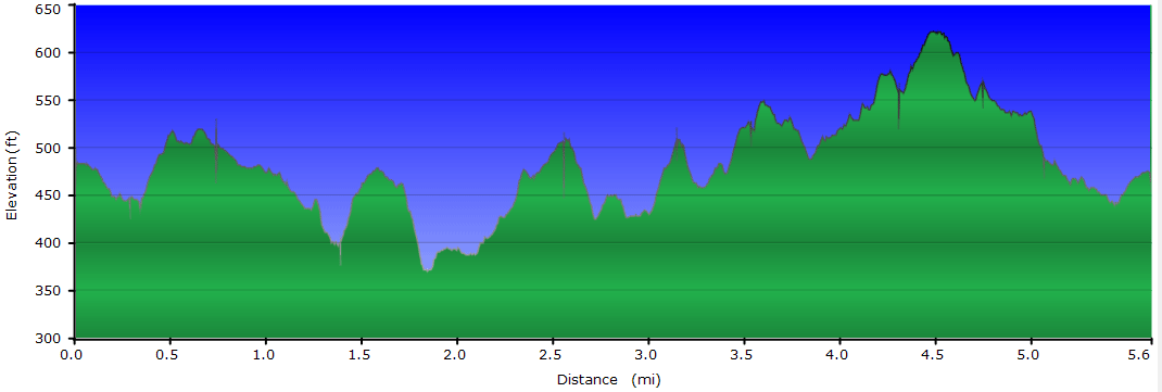
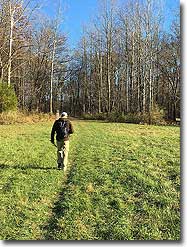
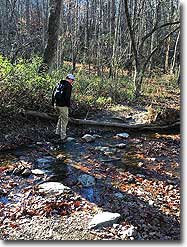
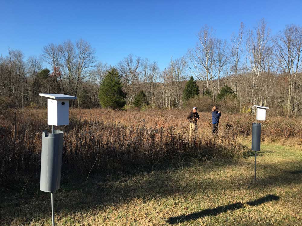
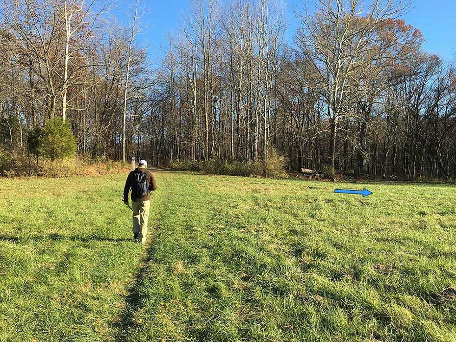
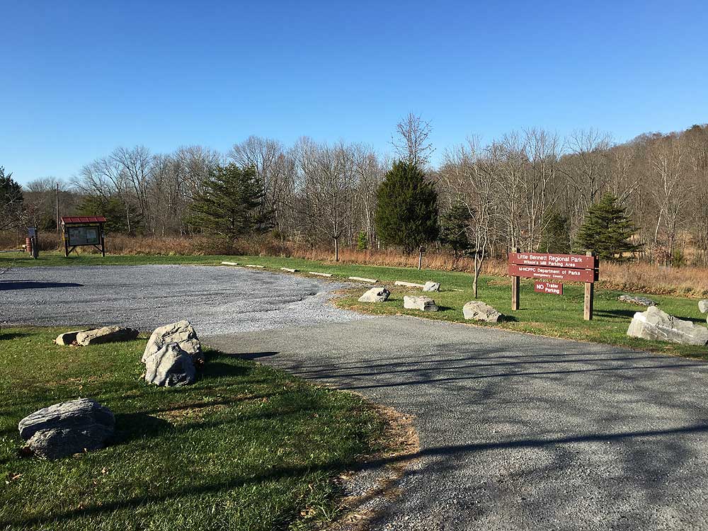
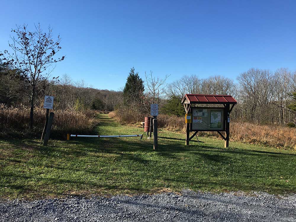
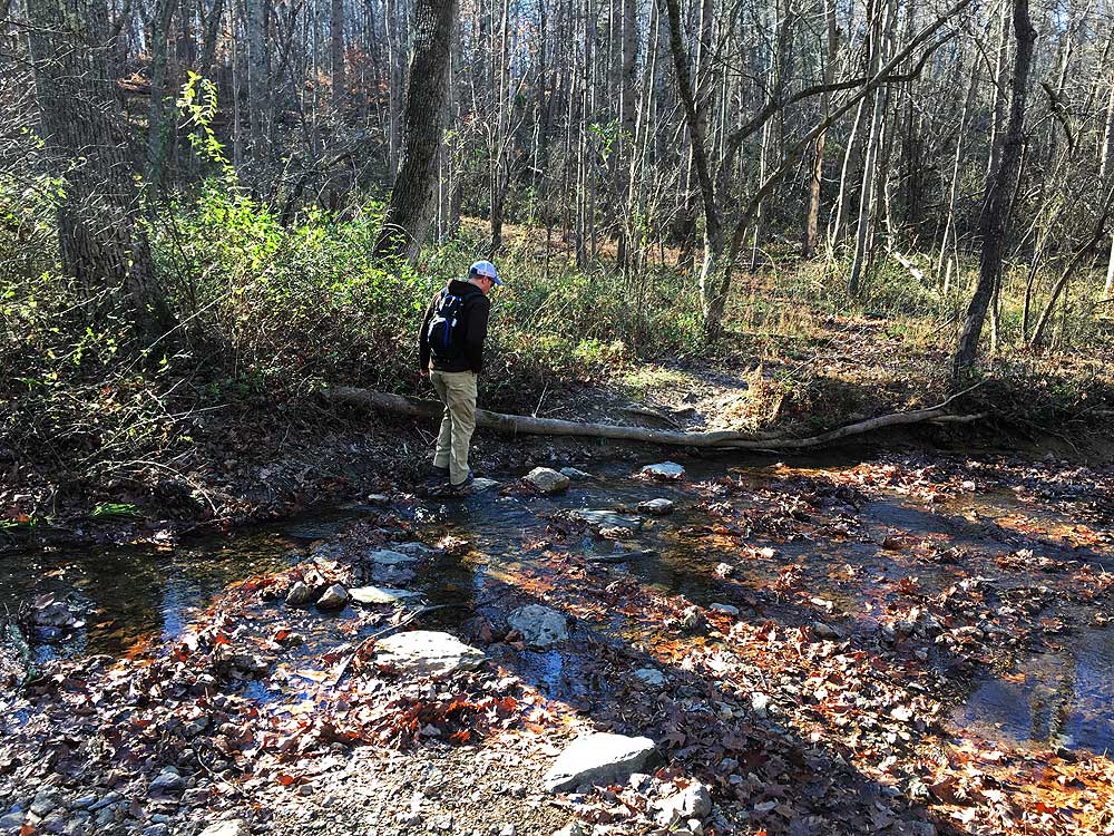
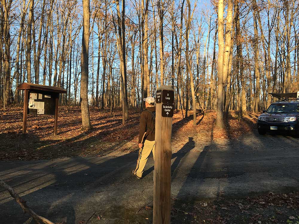
- Mile 0.0 – From the parking area on Clarksburg Road, pass the kiosk and closed gate and follow the grass Wilson Mill Trail past several bird stands. The trail will enter the woods and become narrower before crossing Stony Brook and end at the junction of the Stony Brook Trail.
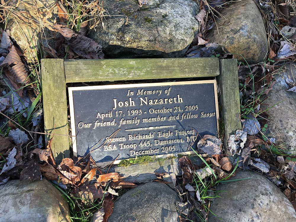
- Mile 0.21 - Turn right on the Stony Brook Trail and shortly arrive at the Beaver Valley Trail. Turn right on the Beaver Valley Trail, then just before crossing a small stream pass a plaque commemorating the life of Josh Nazareth, a scout who passed away in 2005. After crossing the stream the Mound Builder Trail comes in from the left.
- Mile 0.35 - Turn left on the Mound Builder trail where it gentle climbs to the first ridge and intersection with the Bennett Ridge Trail and access road.
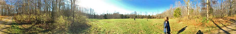
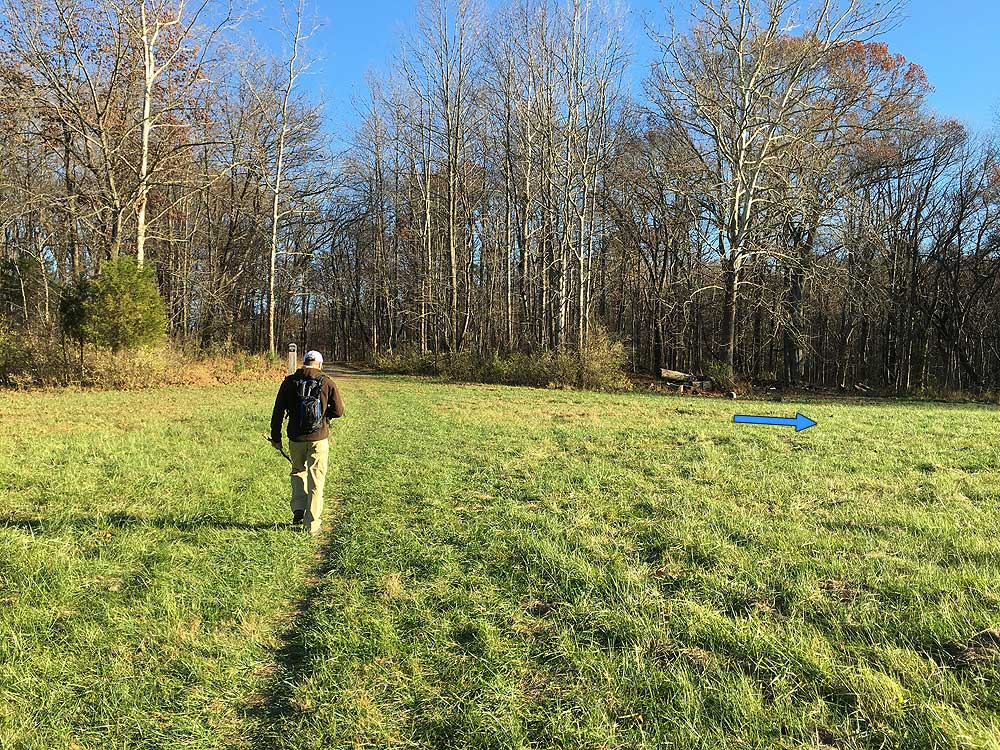
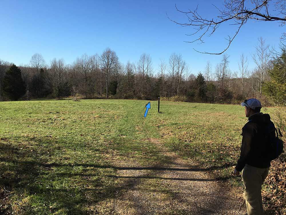
- Mile 0.73 - Turn right on the Bennett Ridge Trail and follow it for 0.19 to the only open field on the hike.
- Mile 0.92 - Continue straight through the field, passing the Woodcock Hollow Trail marker, then re-enter the woods on the far side. The Bennett Ridge Trail now descends for 0.3 miles to the junction of the Owl Ridge Trail on the right.
- Mile 1.37 - Turn right uphill passing over a small knoll, then descend on the other side to the intersection of the Bennett Ridge and Browning Run trails.
- Mile 1.83 - Turn left uphill on the Little Bennett Ridge Trail next to Soper's Branch. Climb back past the Owl Ridge Trail junction, and in 0.3 miles re-enter the large field you passed through earlier.
- Mile 2.54 - Turn right about half way through the field and enter the woods on the Woodcock Hollow Trail. Continue on the Woodcock Hollow Trail through a small area of wetlands, then climb to the intersection with the Antler Ridge Trail.
- Mile 3.09 - Turn right downhill on the Antler Ridge Trail as it winds through another hollow, crosses a creek, and follows the side of a ridge to the intersection with the Whitetail Trail.
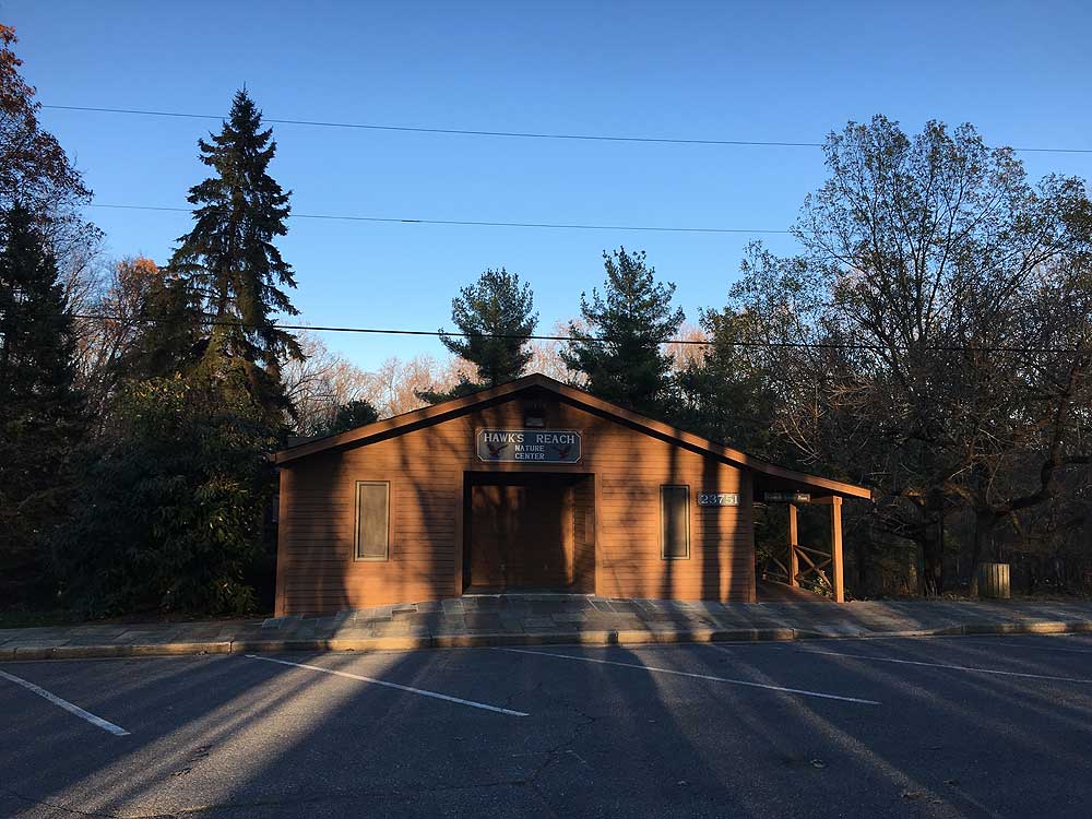
- Mile 3.50 - Turn right on the Whitetail Trail to the junction with the south end of the Nature Trail. Stay straight on the Whitetail Trail and shortly pass the north end of the looped Nature Trail. The Whitetail Trail will now climb to the campground and cross the first paved road. Pass through another wooded area and arrive at the Hawks Reach Activity Center.
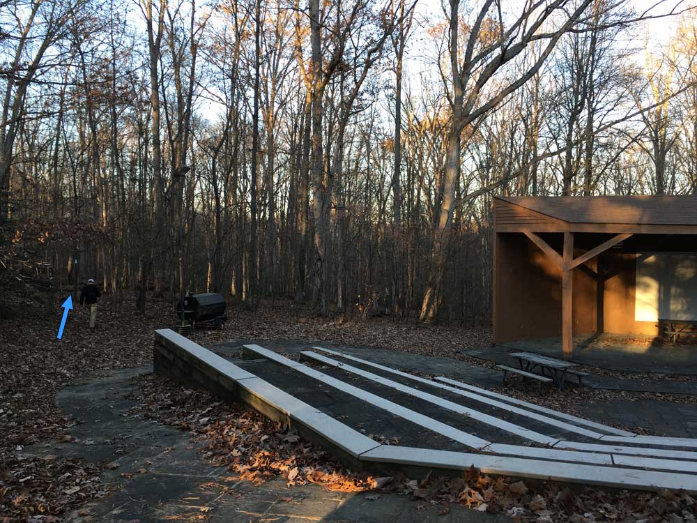
- Mile 4.48 - Pass around the left side of the activity center to the amphitheater in the rear. Join the Little Oak Trail on the left side of the amphitheater, and follow it around the back of the amphitheater then uphill to the junction with the Big Oak Trail.
- Mile 4.67 - Turn left on the Big Oak Trail as it descends to the intersection of the Acorn Hollow Trail.
- Mile 4.90 - Turn right on the Acorn Hollow Trail to the intersection of the Stony Brook Trail.
- Mile 5.08 - Turn left on the Stony Brook Trail for 0.46 miles back to the intersection of the Wilson Mill Trail.
- Mile 5.54 - Turn right onto the Wilson Mill Trail, recrossing Stony Brook, then passing back through the small field with bird stands.
- Mile 5.75 - Arrive back at the Wilson Mill trailhead parking area.
|


