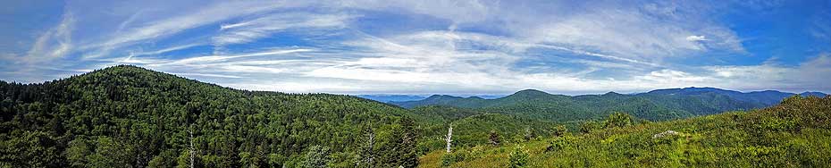
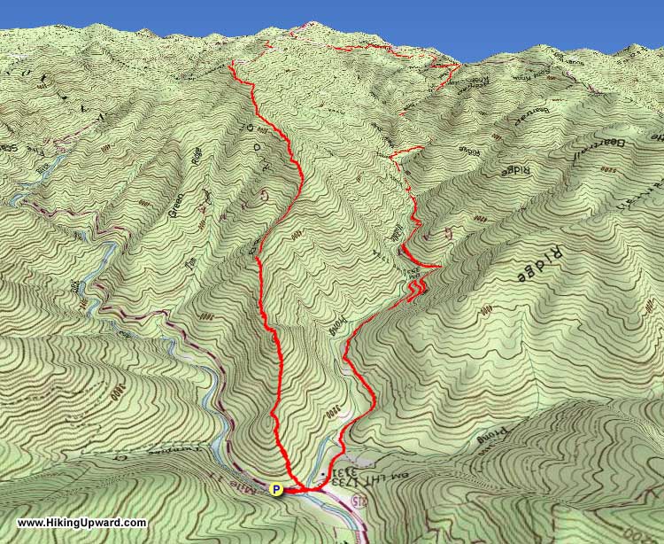
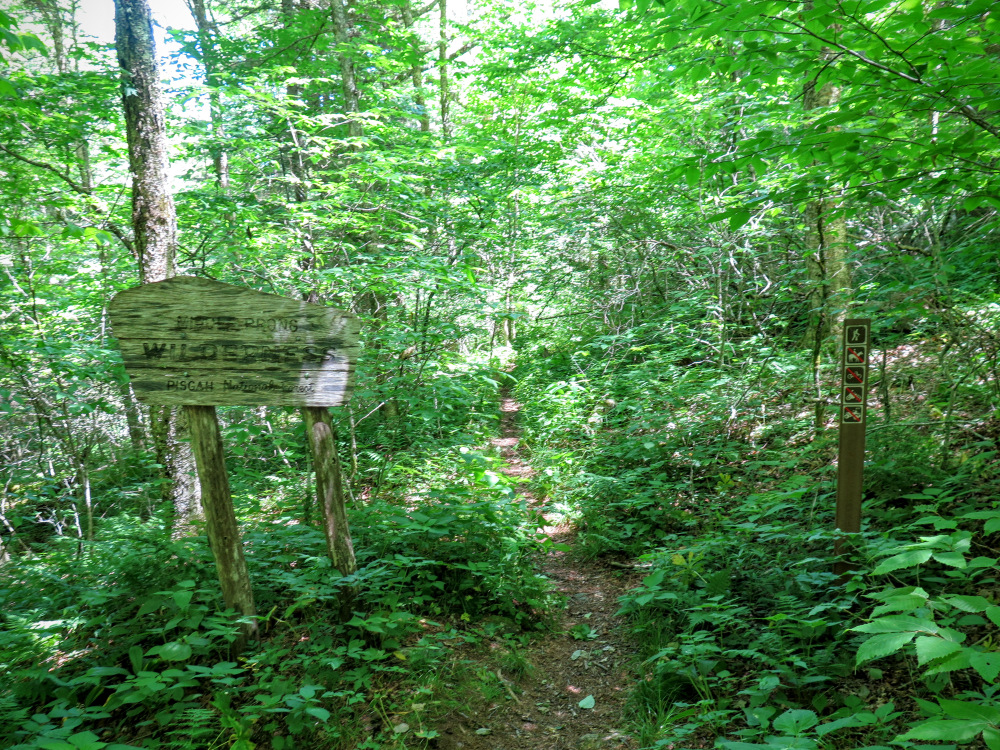
Although adjacent to the overpopulated Shining Rock Wilderness, the Middle Prong Wilderness is wild and desolate in comparison. Crowds are drawn to the larger eastern neighbor for a number of reasons including closer proximity to Asheville, numerous trailheads off U.S. 276 and the Blue Ridge Parkway, and the attraction of many 6,000+ foot peaks with expansive views. The Middle Prong Wilderness has many of the same features, without any of the crowds. This hike is the grand loop of the entire wilderness, following the long, rugged Fork Ridge to high elevations and big views before diving down into the remote headwaters of the Middle Prong of the West Fork Pigeon River. The western Great Balsam Mountains form a horseshoe around the Middle Prong watershed. Hidden within this watershed are many beautiful waterfalls that are difficult to reach.
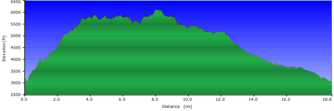
The hike, at nearly 19 miles, is deal for a weekend backpacking trip. After a punishing climb up Fork Ridge there are a variety of campsites along the Mountains-to-Sea Trail (MST) below Mt. Hardy. Some offer grand views with little protection, most are beneath the tree canopy. The second day can be improvised. You can take day hikes east to Mt. Hardy or Mt. Hardy Falls before continuing west on the MST down into the Middle Prong watershed. Once by the river there are multiple campsites if you wish to stay a second night. This is an ideal option if you choose to bushwhack to one or more waterfalls that are located on many of the creeks that form Middle Prong. For backpackers the Middle Prong Wilderness is a fantastic weekend getaway to a place that is more wild and tough than most of the hike options in the region.
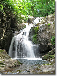
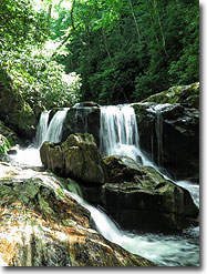
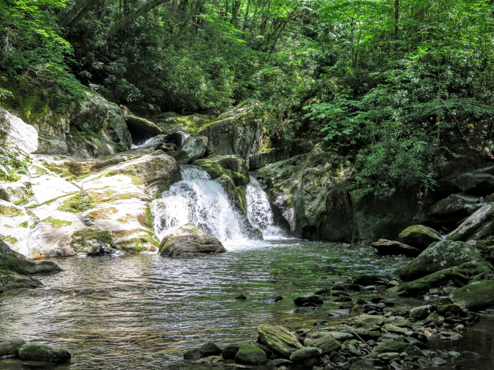
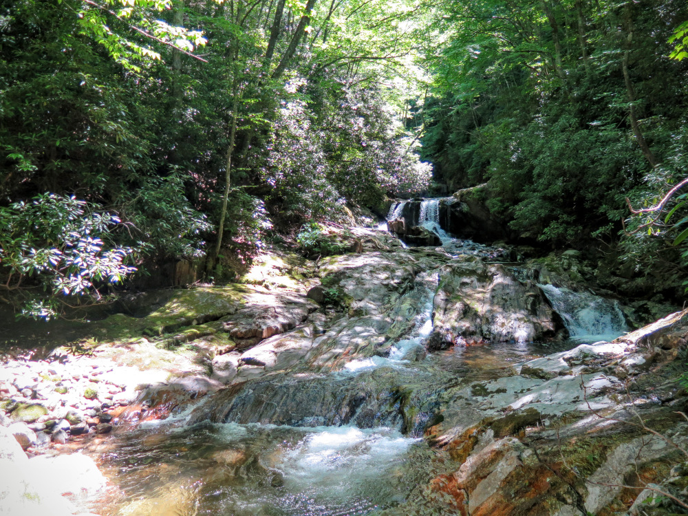
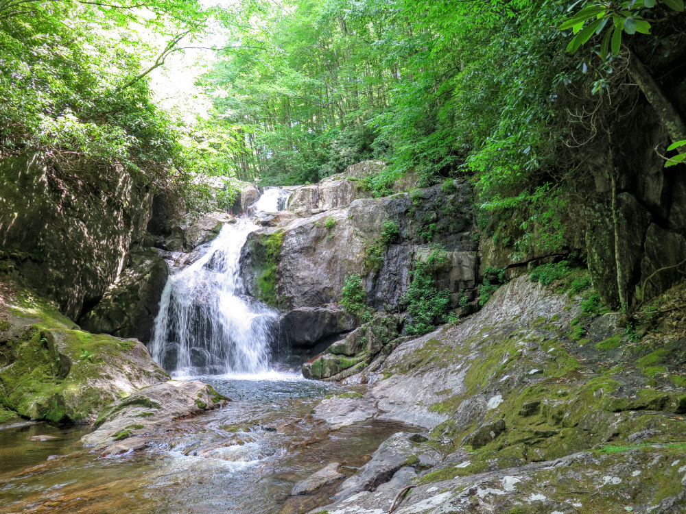
Waterfalls in the wilderness – Middle Prong Wilderness is full of hidden waterfalls that are mostly difficult and dangerous to reach. The waterfalls in this region are listed on the pdf map and turn off points are listed below for when you need to leave the trail and start bushwhacking. Even if you are experienced at off-trail navigation and canyoneering, many of these waterfalls are still tough to reach. The best resource for finding these waterfalls is Kevin Adams’ newest 3rd edition of North Carolina Waterfalls.
Day One
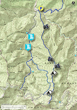
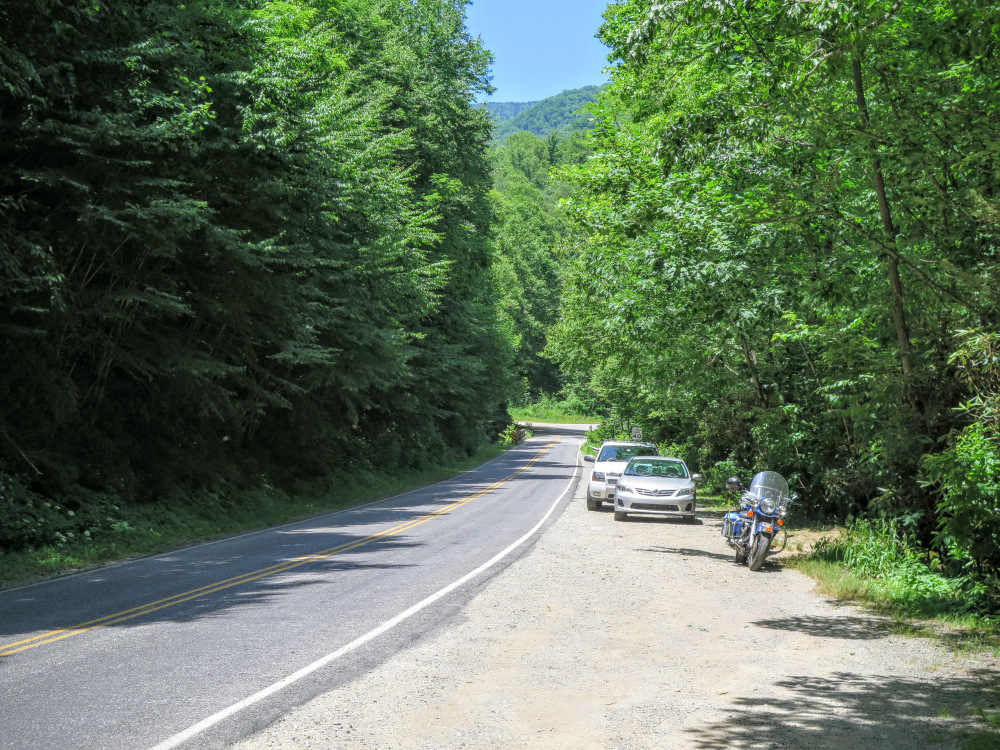
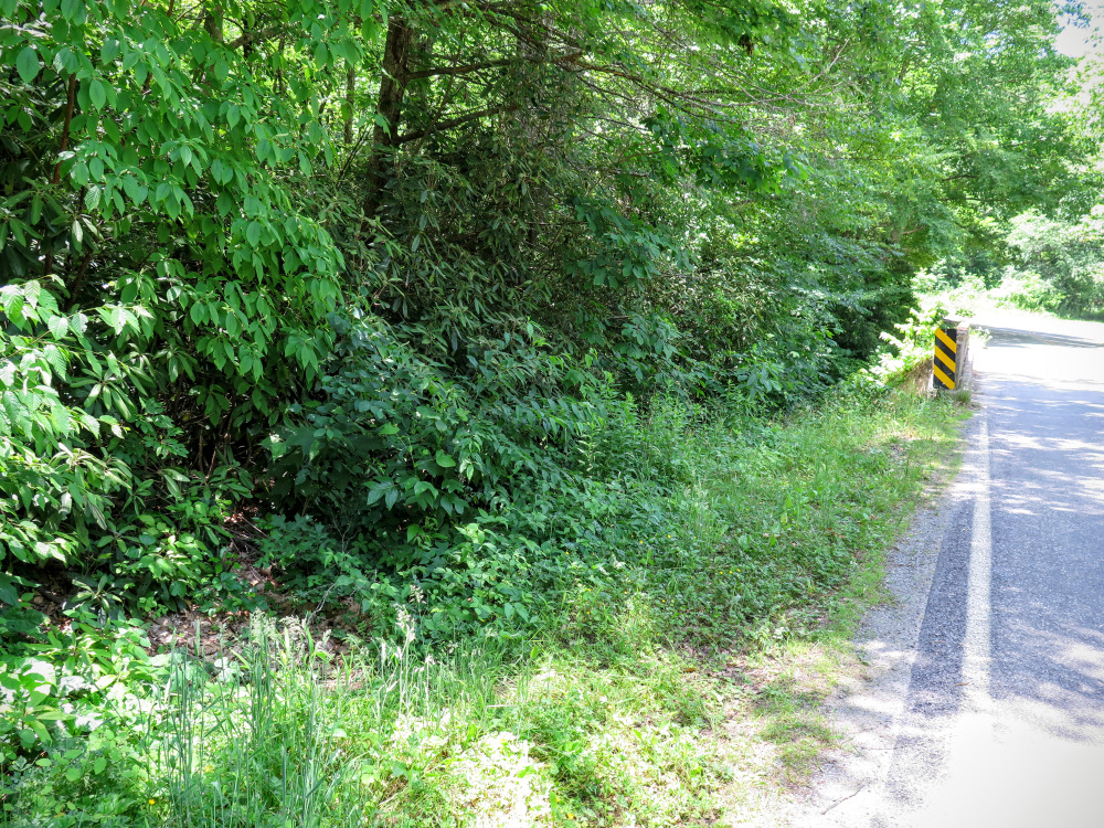
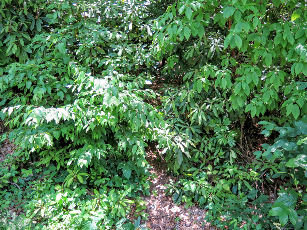
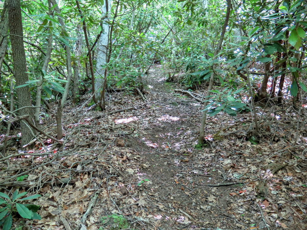
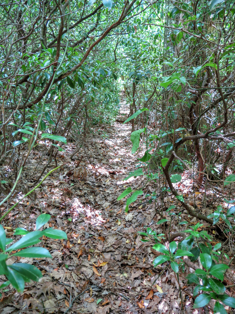
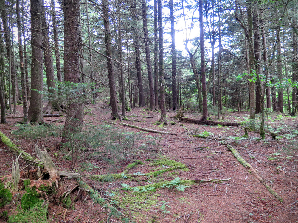
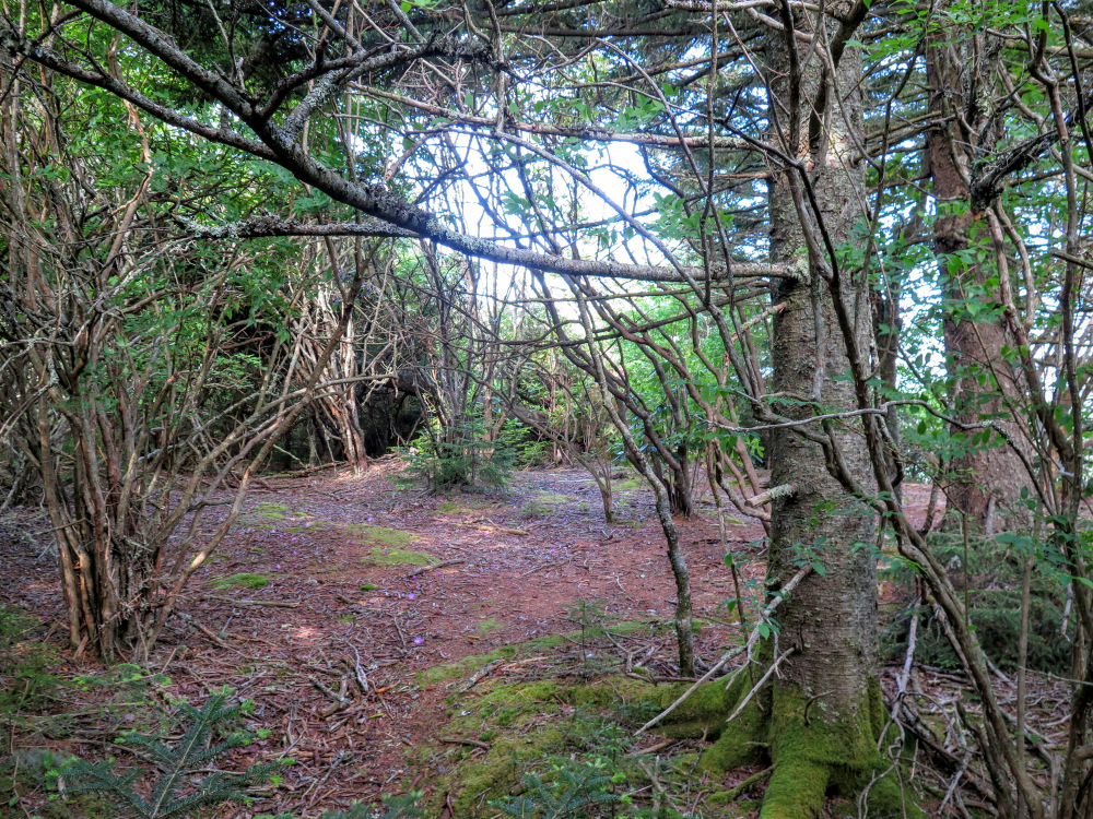
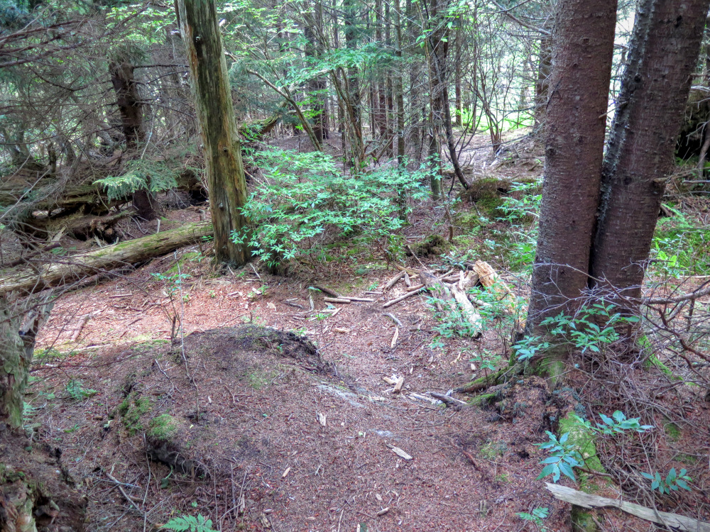
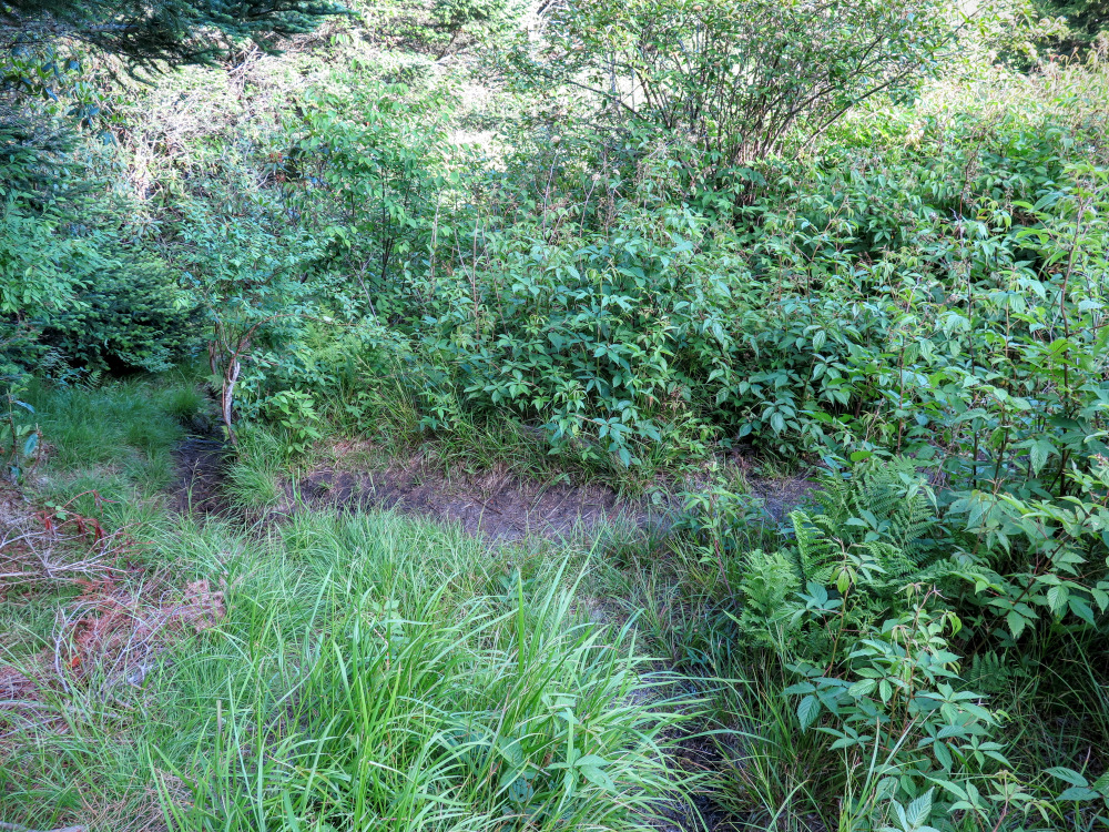
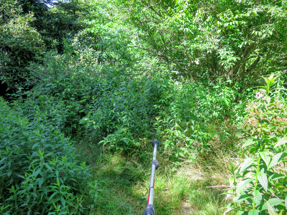
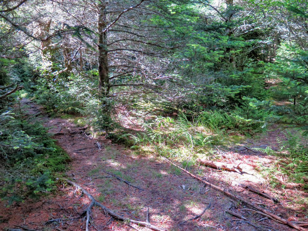
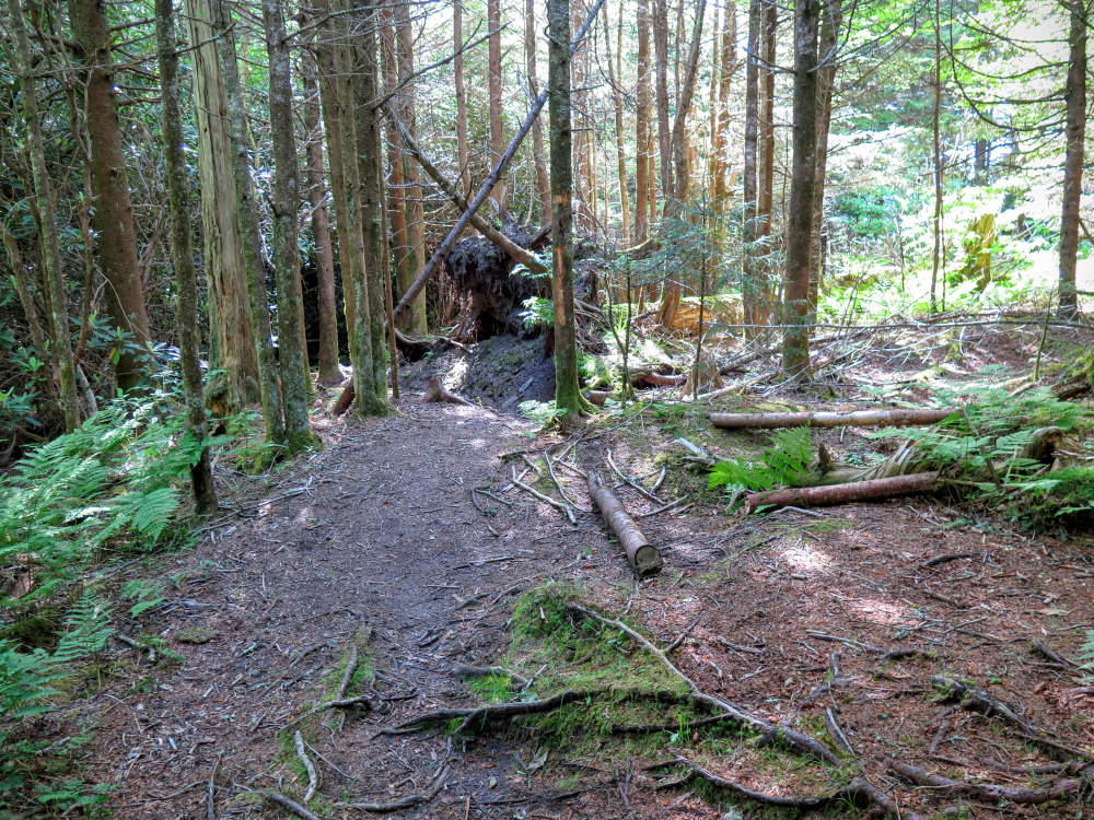
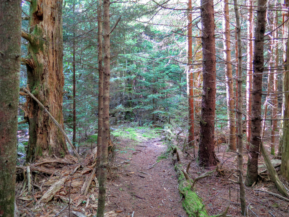
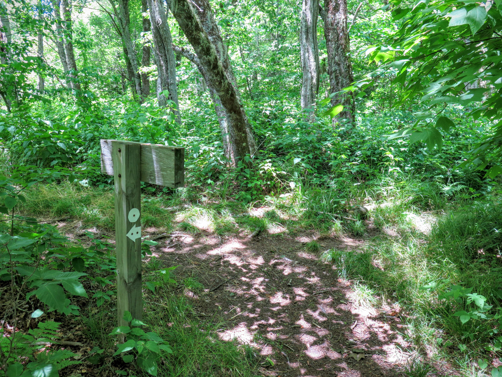
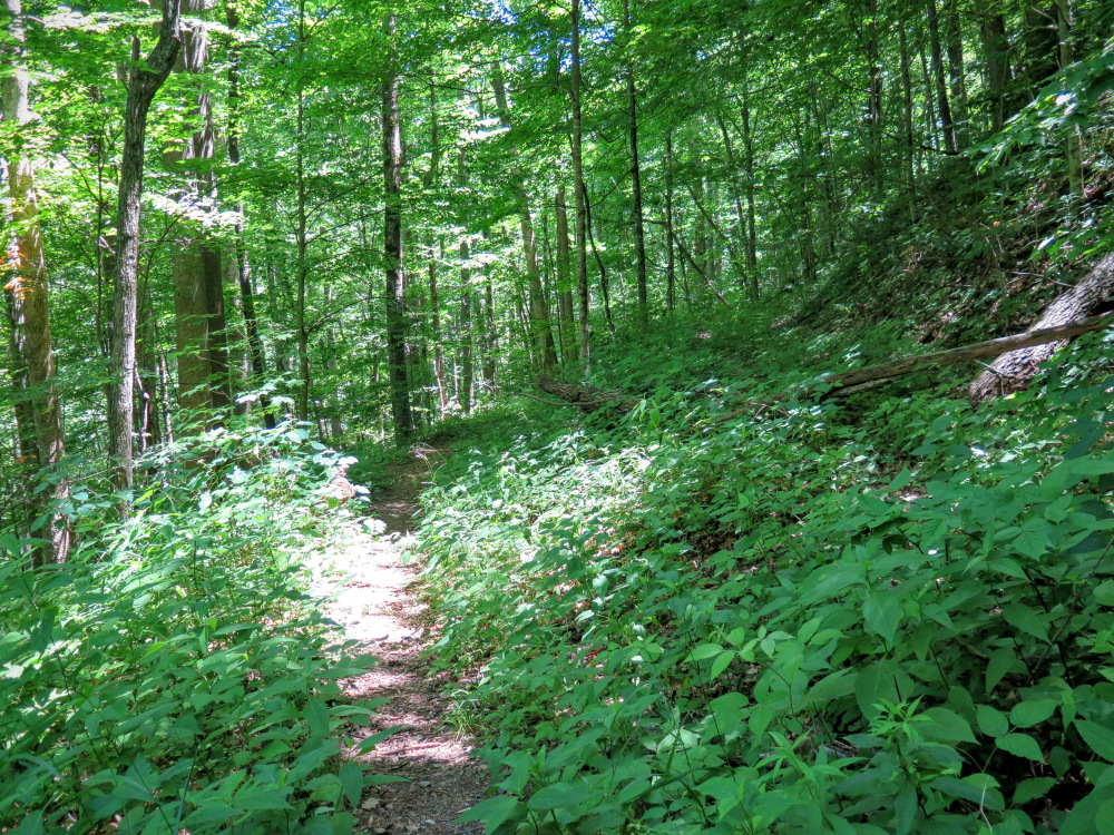
Mile 0.0 – The Green Mountain Trail [113] (no blaze) begins on the east side of the NC 215 bridge over Middle Prong opposite of the parking pull outs beside West Fork Pigeon River. There is no trail sign nor obvious cleared pathway. It is hidden amongst trees approximately 15 feet before the bridge. When you see a dip through a slight opening walk through the branches and you should see a small, eroded trail climbing to the left. Once you walk away from the road the trail should become more obvious as it is the only clear path through tunnels of rhododendron. The Green Mountain Trail is considered one of the most difficult hikes in the region. You’ll climb relentlessly for 4 miles from 3,000 feet to 5,900 feet along Fork Ridge to the summit of Green Knob. There is no water on this trail and the campsites located in the first few miles are far from ideal and should be considered a last resort. Allocate 4+ hours for this section with a full backpack. There are no blazes and the trail itself is narrow and overgrown, but it follows the ridge crest and is easy to follow.
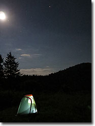
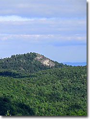
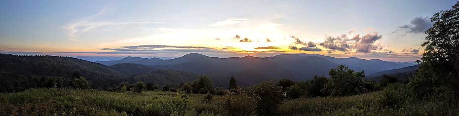
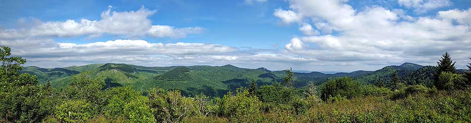
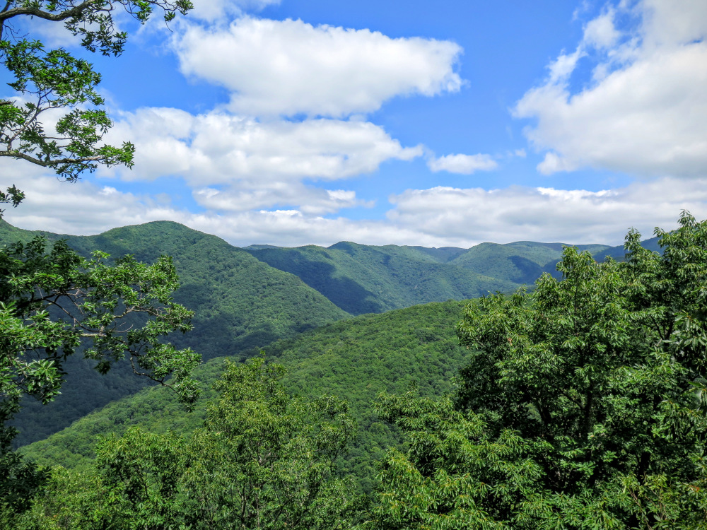
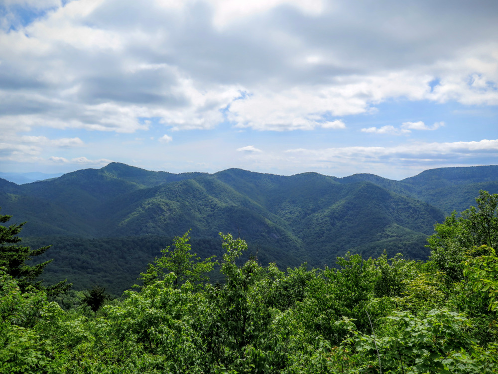
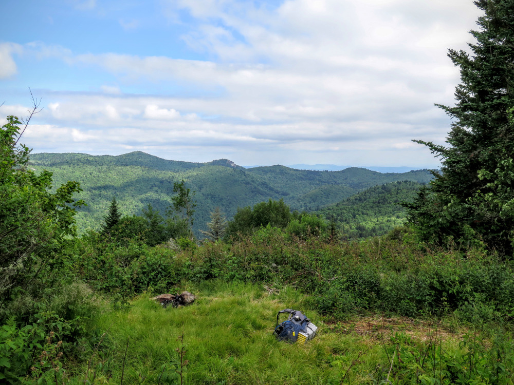
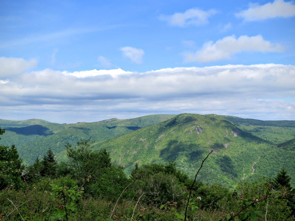
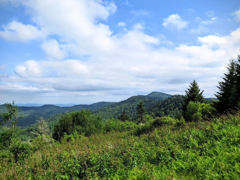
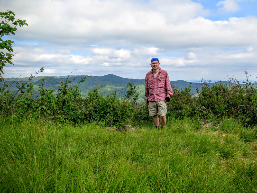
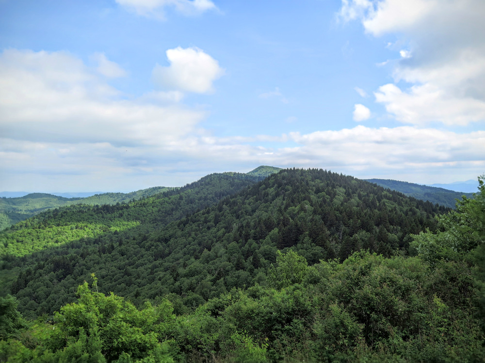
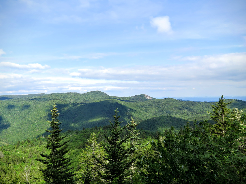
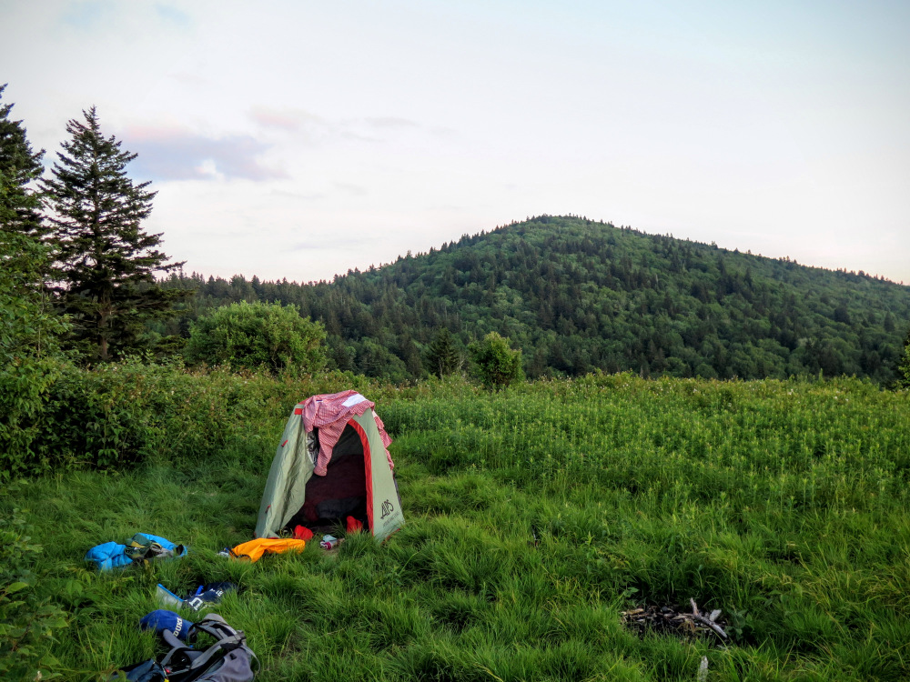
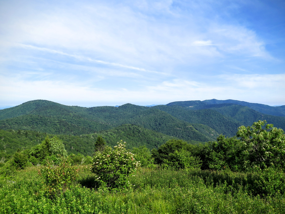
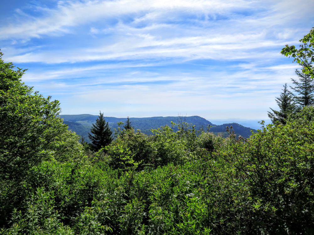
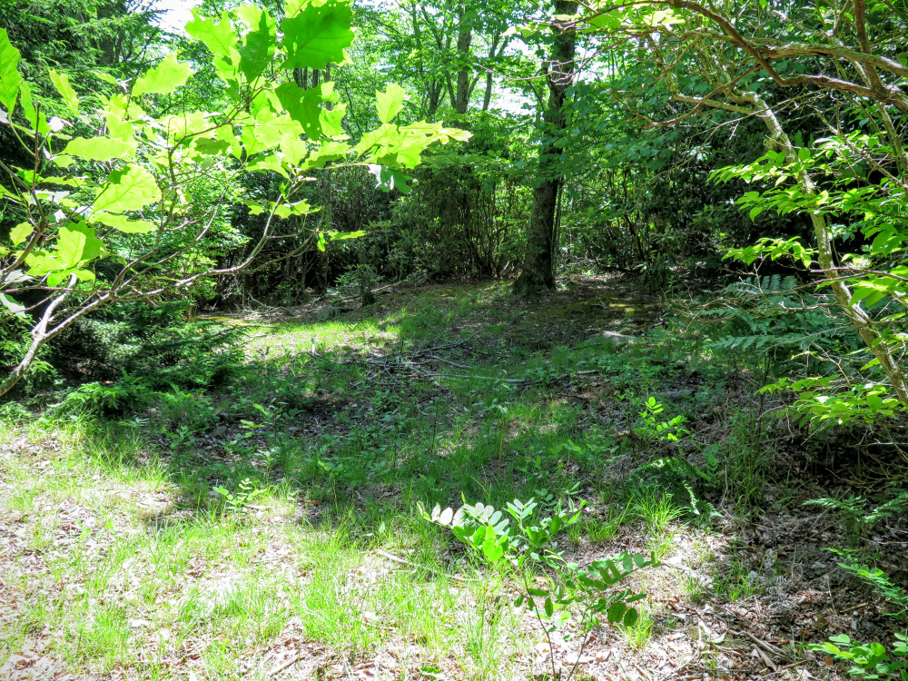
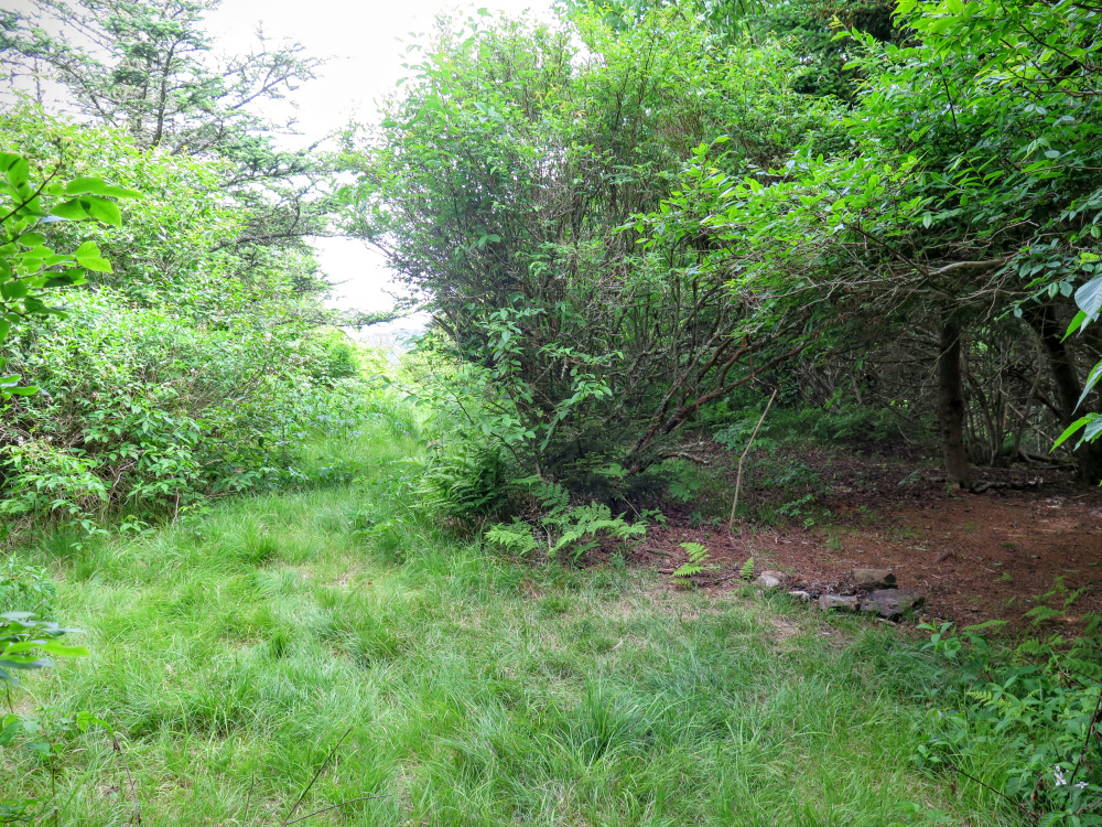
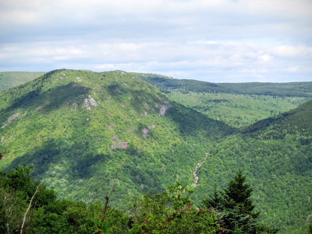
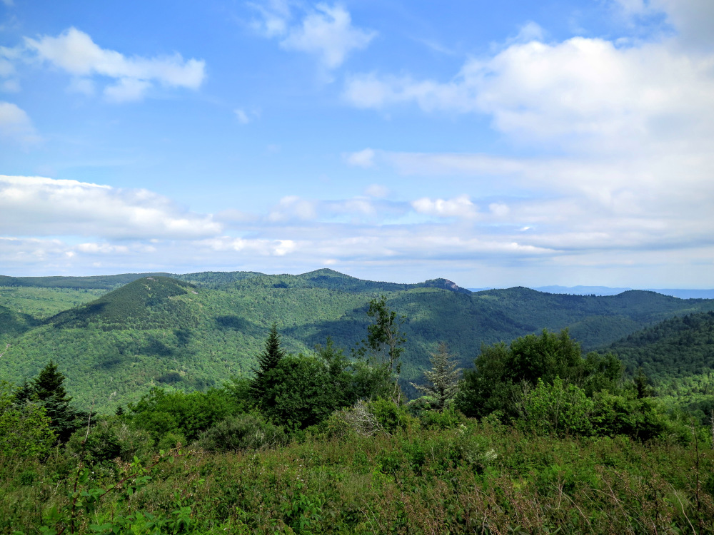
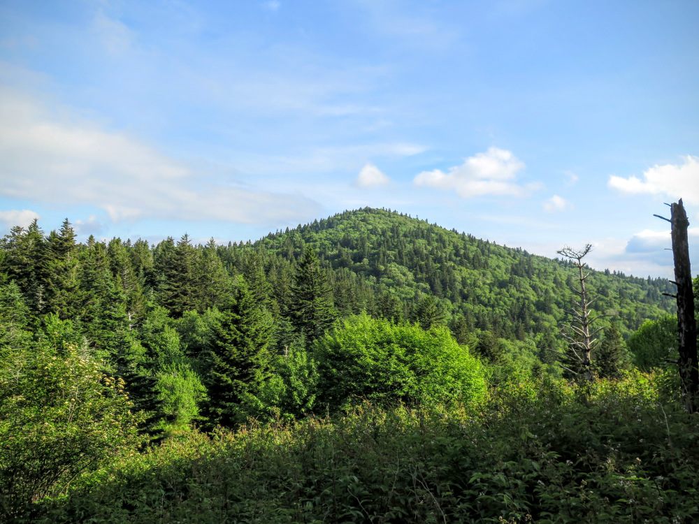
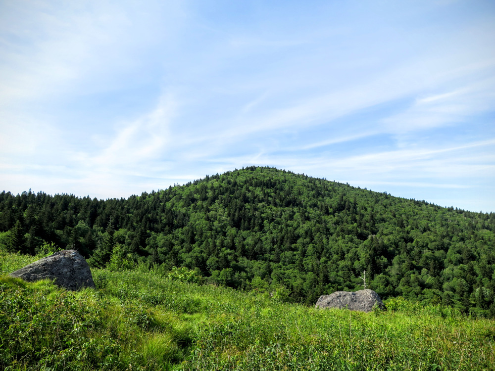
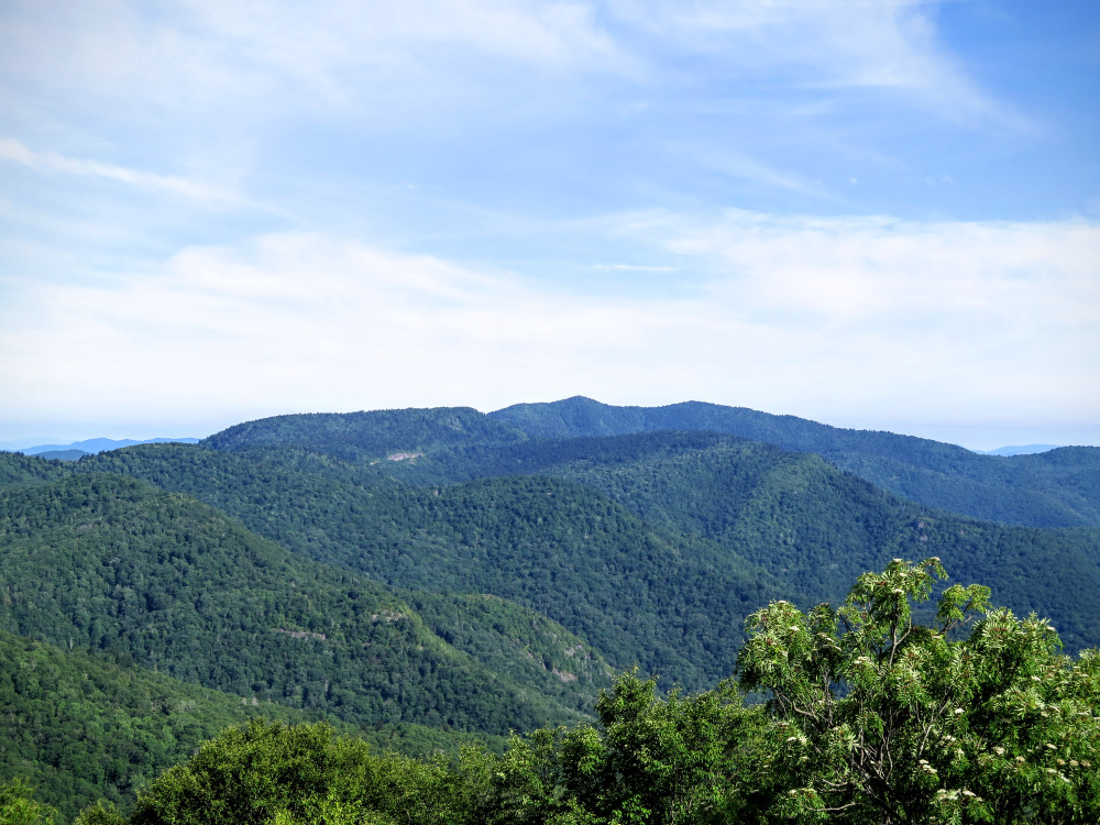
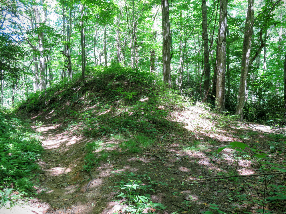
Mile 4.2 – The canopy opens up as you pass the summit of Green Knob (5,880 feet). On the right is a protected campsite. On the left is a beautiful grassy area with open views east and south of some of the tallest peaks in the Great Balsam Mountains. The deep West Fork Pigeon River watershed below divides the Shining Rock Wilderness and the Middle Prong Wilderness. The double-humped Sam Knob stands tall above the river valley. The smaller peak on the right is Little Sam Knob. You should easily pick out the many waterfalls of Flat Laurel Creek between the two mountains as it falls hundreds of feet out of sight. Behind Sam Knob to the left is half of the flat, bald summit of Black Balsam Knob. The tiny bump is Tennent Mountain, and the ridge dips to the left to Ivestor Gap before climbing to Grassy Cove Top. To the right of Little Sam Knob is the pointy Chestnut Bald and immediately right the tall cliffs of Devil’s Courthouse. The big mountain on the far right behind the humps of Fork Ridge is Mt. Hardy.
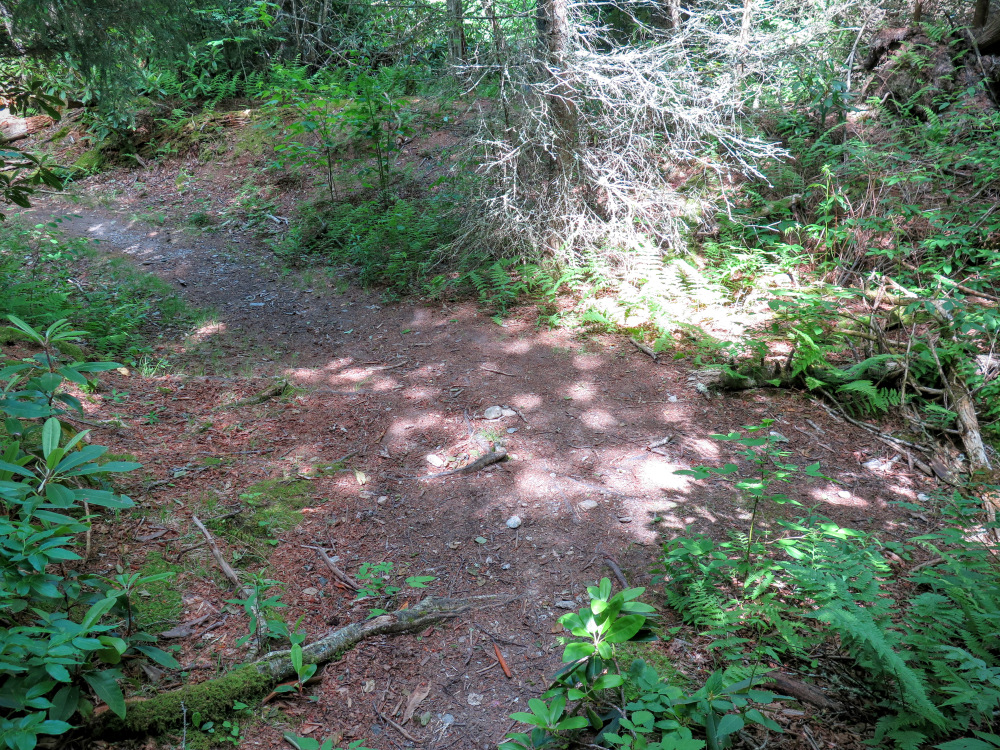
Mile 6.6 – T-junction with the Mountains-to-Sea Trail [440] (no blaze). You can head in either direction on the MST to access water, in this case the GPS track heads left/east towards the origin of Buckeye Creek. We suggest turning right/west instead, where the MST crosses Buckeye Creek downstream.
Mile 6.8 – Water access via Buckeye Creek on the right side of the trail. Fill up and turn around heading back to the campsites.
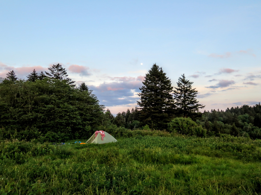
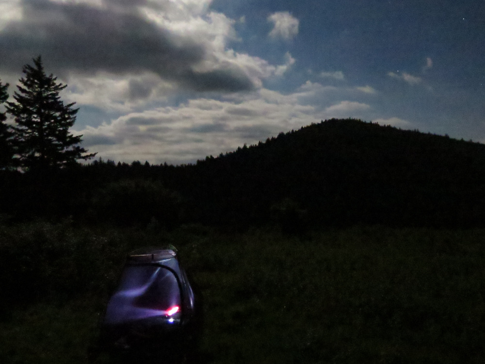
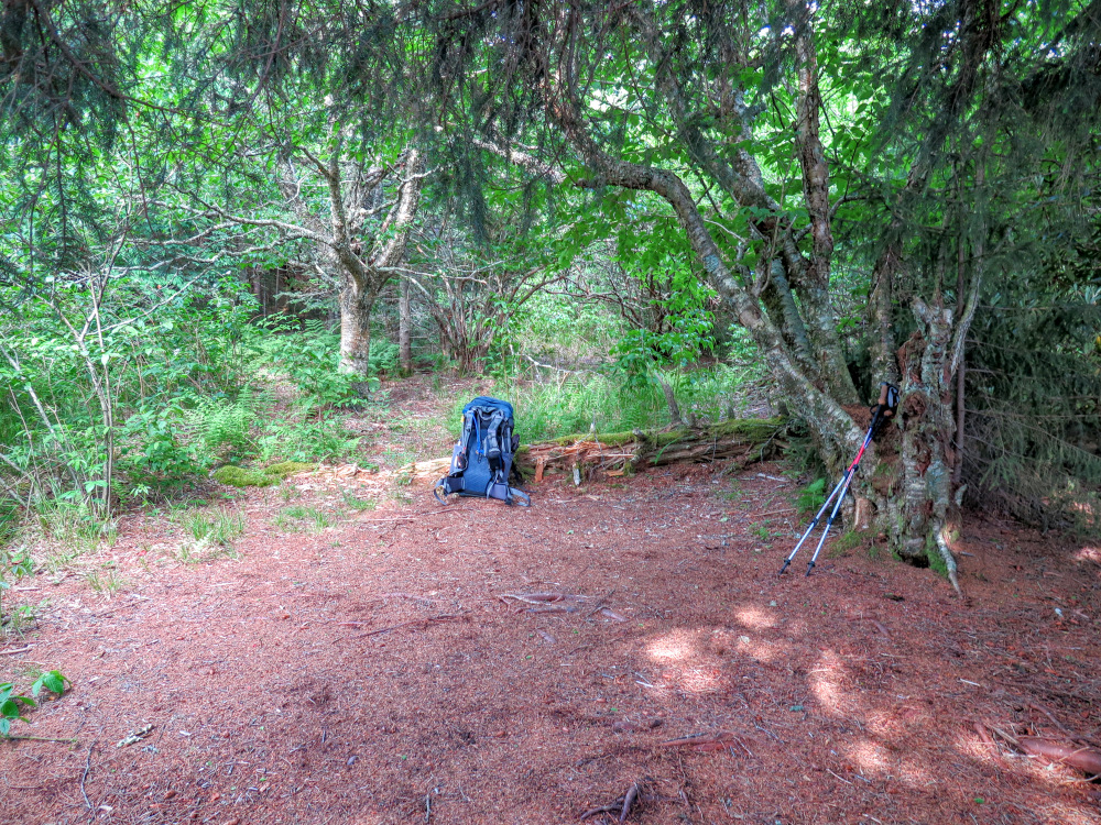
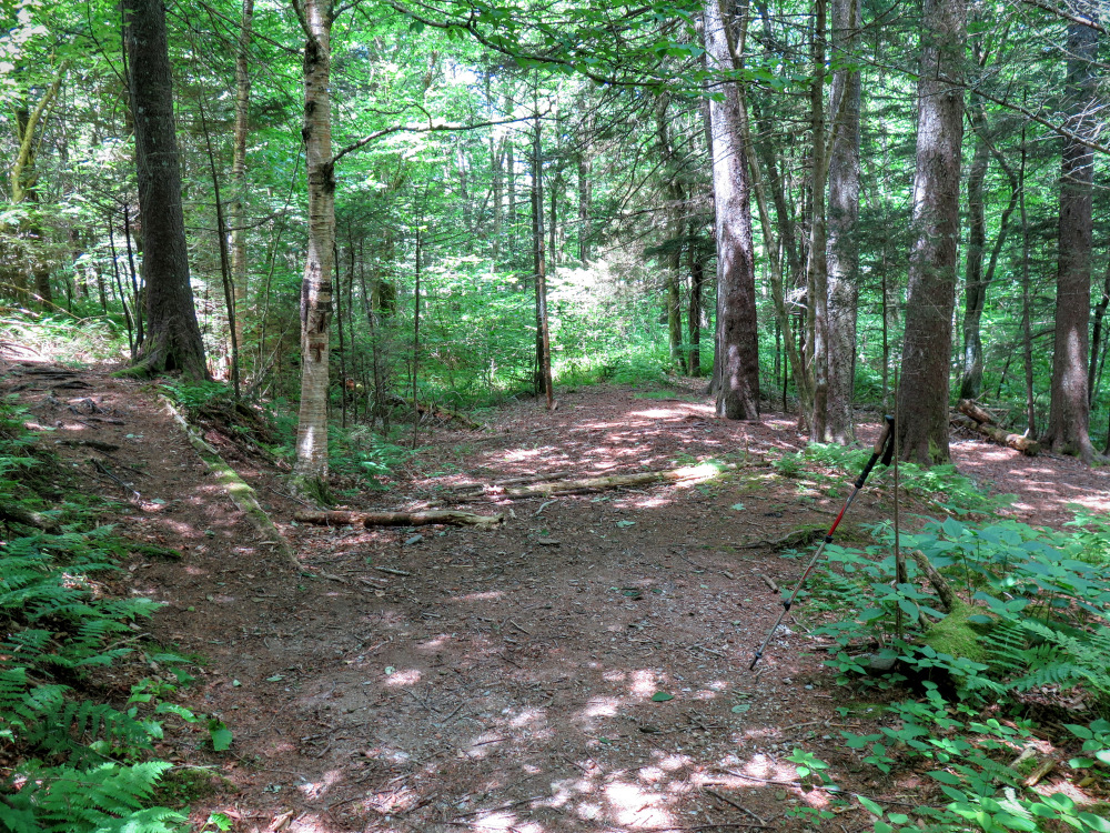
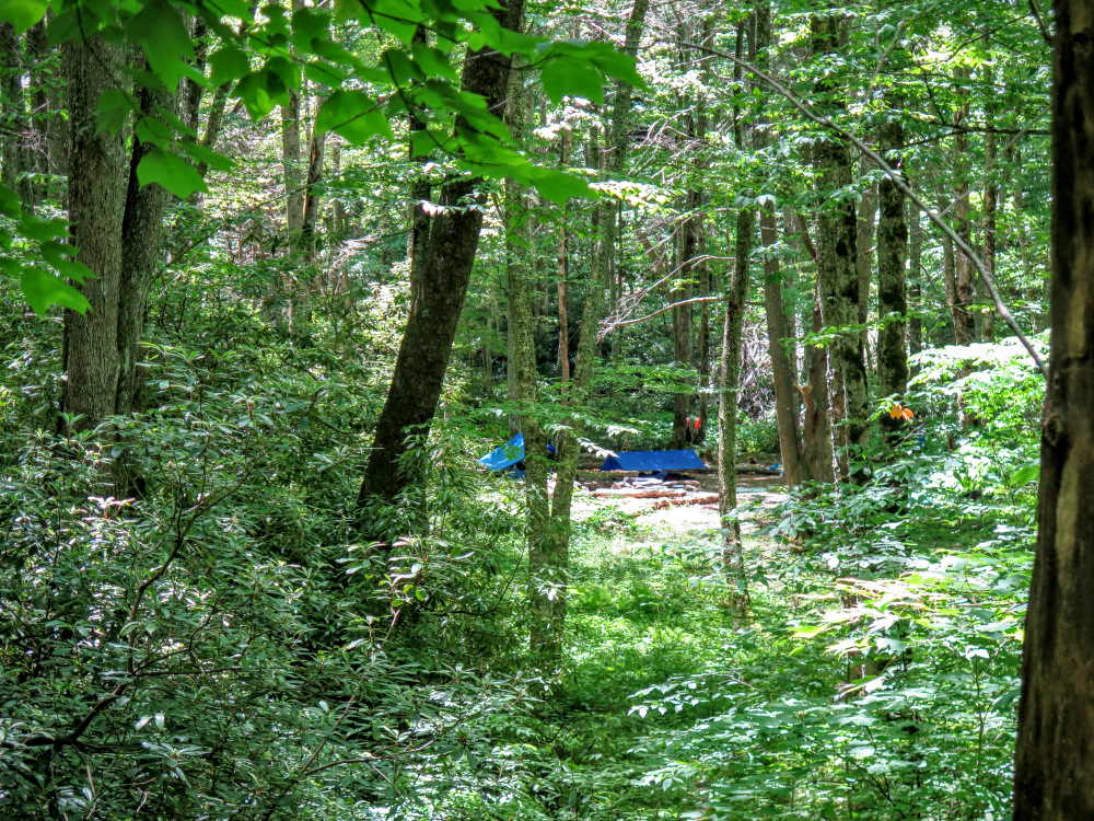
Mile 7.3 – Night one at the grassy campsites near the Green Mountain Trail junction.
Day Two
Mile 7.4 – Optional Mt. Hardy ~2 mile summit hike – Follow the connector trail east to the T-junction with the Green Mountain Trail and continue south on the Green Mountain Trail (This optional hike is primarily for peakbaggers since it will count for the South Beyond 6000 Challenge. The views are not worth the trip.)
(A second option for a slightly longer day hike would be to continue east past Mt. Hardy for ~1.5 miles to the overlook for Mt. Hardy Falls. This waterfall is nearly 100 feet high but is on a very small creek. You should consider this after a good rainfall.)
Mile 7.5 – The Green Mountain Trail ends at a T-junction with the Mountains-to-Sea Trail [440] (no blaze). Turn left/east on the MST. There are campsites on the right side of the trail junction where the MST continues west.
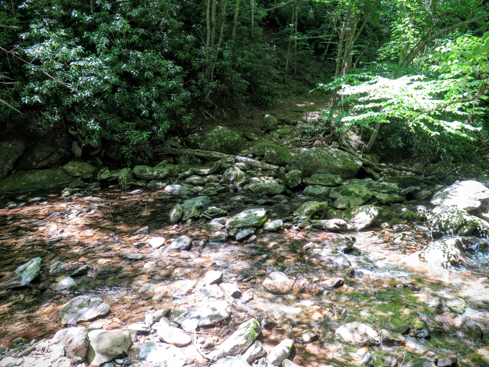
Mile 9.5 – Wishbone junction with the Buckeye Gap Trail [126] (no blaze) on the right. (You can turn right here on the Buckeye Gap Trail to shorten the hike by a few miles. The Buckeye Gap Trail follows the slopes south high above Buckeye Creek before plowing west down the ridge to meet the Haywood Gap Trail.) Continue left on MST and you’ll soon cross two branches of Buckeye Creek.
Mile 10.5 – T-junction with a Blue Ridge Parkway Access Trail at Buckeye Gap. Turn right through the campsite to continue following the MST west.
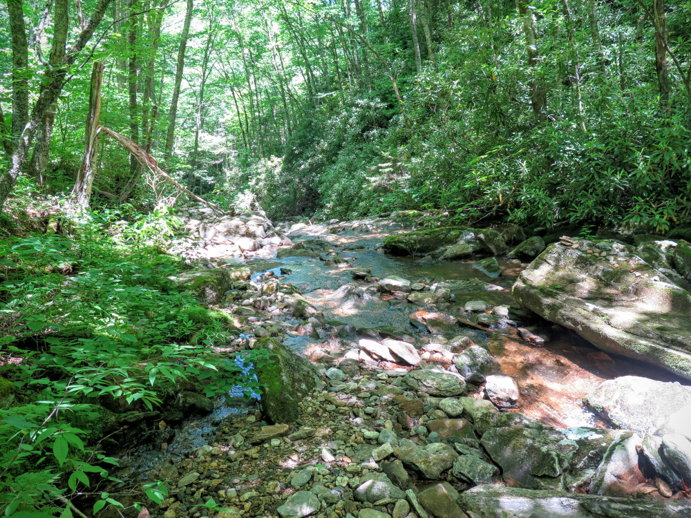
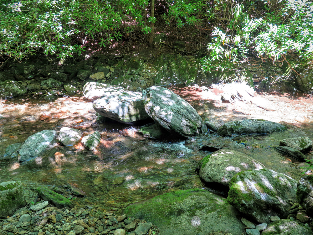
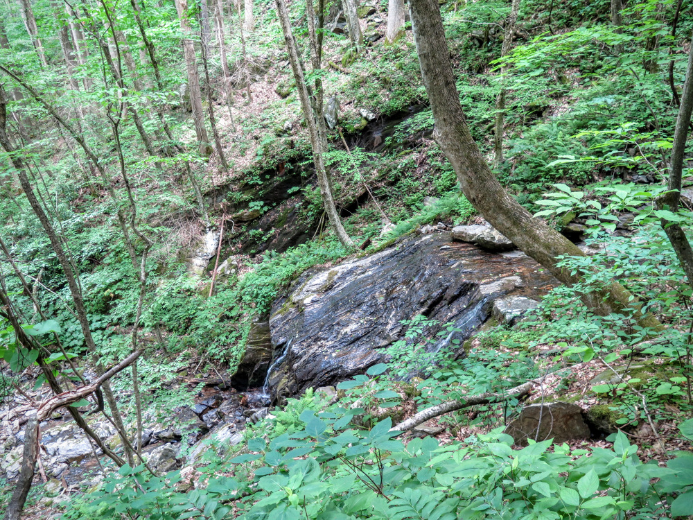
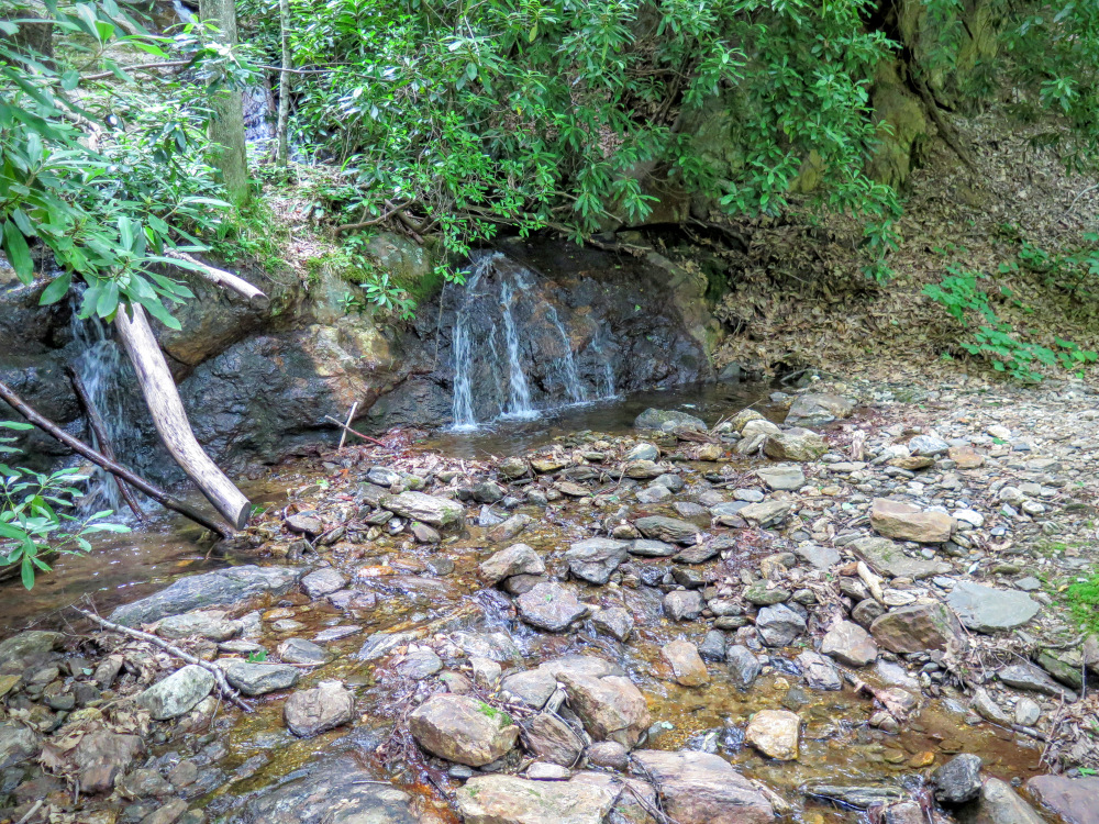
Mile 12.9 – Cross Possum Hollow Stream between small waterfalls as it flows into Haywood Gap Stream. The trail now closely follows Haywood Gap Stream.
Mile 13.5 – Rock hop or wet crossing of Middle Prong of West Fork Pigeon River. Shortly upstream the confluence of Buckeye Creek and Haywood Gap Stream creates Middle Prong. (If you are hiking to Buckeye Falls, you need to leave the trail here and creek-walk upstream to the confluence, turn left on Buckeye Creek, then continue to creek-walk upstream to the base of the falls.)
Mile 14.5 – Shortly after rock hopping Grassy Ridge Branch you’ll continue straight through a cross intersection with the Buckeye Gap Trail on your right. The trail on the left leads to a large, excellent campsite perched above Middle Prong.
Mile 15.5 – Y-junction with overgrown forest road on the left. This forest road leads to campsites at Big Beartrap Branch and bushwhack access for the lowest drop of Big Beartrap Falls.
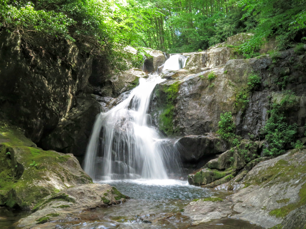
Mile 16.0 –At a slight turn left the right side of the trail has tall dirt banks. (This is the location to bushwhack down to Middle Prong Falls, which is audible from the trail but impossible to see. Refer to Kevin Adams' book if you are interested in seeing this waterfall. It is beautiful but very difficult and very dangerous to reach.)
Mile 16.6 – The trail passes over the top of a low-flow waterfall on Berry Branch then passes above the lowest drop of Little Beartrap Falls. (A tough bushwhack is required to see the upper drops of Little Beartrap Falls and is not encouraged. Scrambling down to the base of this bowl to see the lowest drops of the waterfall on Berry Branch and Little Beartrap Falls is not worth the effort.)
Mile 17.2 – At a left turn an overgrown forest road on the right heads down towards Middle Prong. This is a possible creek-walk access for Middle Prong Falls, but would be unadvisable in above average water flow.
Mile 18.4 – Gate on FSR 97. On the other side of this gate are multiple parking areas and large campsites.
Mile 18.8 – FSR 97 ends at NC 215 and the parking areas for this hike.
Video
Backpacking Middle Prong Wilderness
Middle Prong Falls
Mid June
Middle Prong Wilderness Hike Comments
Archived Comments
By:Dony Erwin
Rating:
Date of Hike: Friday, April 5, 2019
Just got home from hiking this loop! Yes , yes, yes the first four miles are pretty brutal...between the grade and slippery leaves its a hard climb, and dont expect switchbacks, there are none. But, once you get to the top it gets pretty awesome and if you are seeking solitude, this loop is hard to beat. I ran into 2 people in 3 days. I did lose the trail a few times but I just backtracked and found my way just fine. Its all pretty intuitive and may just stimulate that long lost natural orienteering skill that our ancestors possessed! I did somehow veer off onto the Buckeye Creek Trail, which was unintentional but still quite scenic and most enjoyable. Cant miss the first night campsite that Zach mentions up on the grassy bald off the connector trail to MST. Spectacular views and a million stars the night I was there. Cowboy camped there and hammocked night 2 along Haywood Gap trail. Bear bagged in spite of a ranger telling me I would need a bear canister (I think he was misinformed). Cant wait to go back. Great loop. Do it.
By:Kilian Korth
Rating:
Date of Hike: Monday, March 26, 2018
Awesome, wild hike. The first four miles are not exaggerated in the description they're tough. The trail can be confusing at times but the directions make it pretty easy to follow. Would recommend but not for a novice necessarily.
By:John
Rating:
Date of Hike: Friday, May 26, 2017
My friend and I hiked this loop on Memorial Day Weekend. This review isn't exaggerating - the first 4 (particularly the first 2) miles are brutal. We were nearly climbing on our knees and pulling ourselves up by trees at some points. The first 4-5 miles are in a tunnel of green through the rhododendron and can be pretty tight at points. However....all worth it once you get to the peak and the hike opens up. We camped at about 7 miles in on the grassy field overlooking the entire area. There was plentiful water less than .3 mile away from the MST/Green Mountain Trail intersection, plenty of shelter to camp, and plenty of views (about 300* of unobstructed views).
The next day, we began our hike back to the car. It was purely downhill - we might have climbed a few hundred feet at most. Over the course of 10-12 miles, we descended the entire climb we did in about 4 miles the day prior. Once you turn off the MST and onto the Haywood Gap trail, the trail snakes along the Middle Prong river with numerous falls and pools. Overall, we never had any issue staying on trail - although constricting at times, it's always visible. Don't let the steep beginning miles keep you away - this was a great hike!


