|
| Length |
Difficulty |
Streams |
Views |
Solitude |
Camping |
| 2.0 mls |
 |
|
 |
|
N/A |
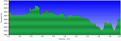
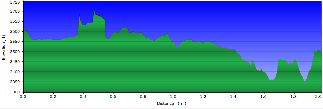
Hiking
Time:
Elev. Gain:
Resources: |
45 minutes with 10 minutes of breaks
270 ft
 Topo Hike Trails Map (PDF) Topo Hike Trails Map (PDF)
Idlewild, NC Weather Forecast
Garmin (GDB), Gaia/Trails App (GPX) (What's
this?) |
 By Trail Contributor: Zach Robbins (Contact Zach) By Trail Contributor: Zach Robbins (Contact Zach)
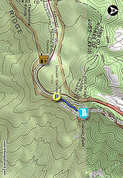
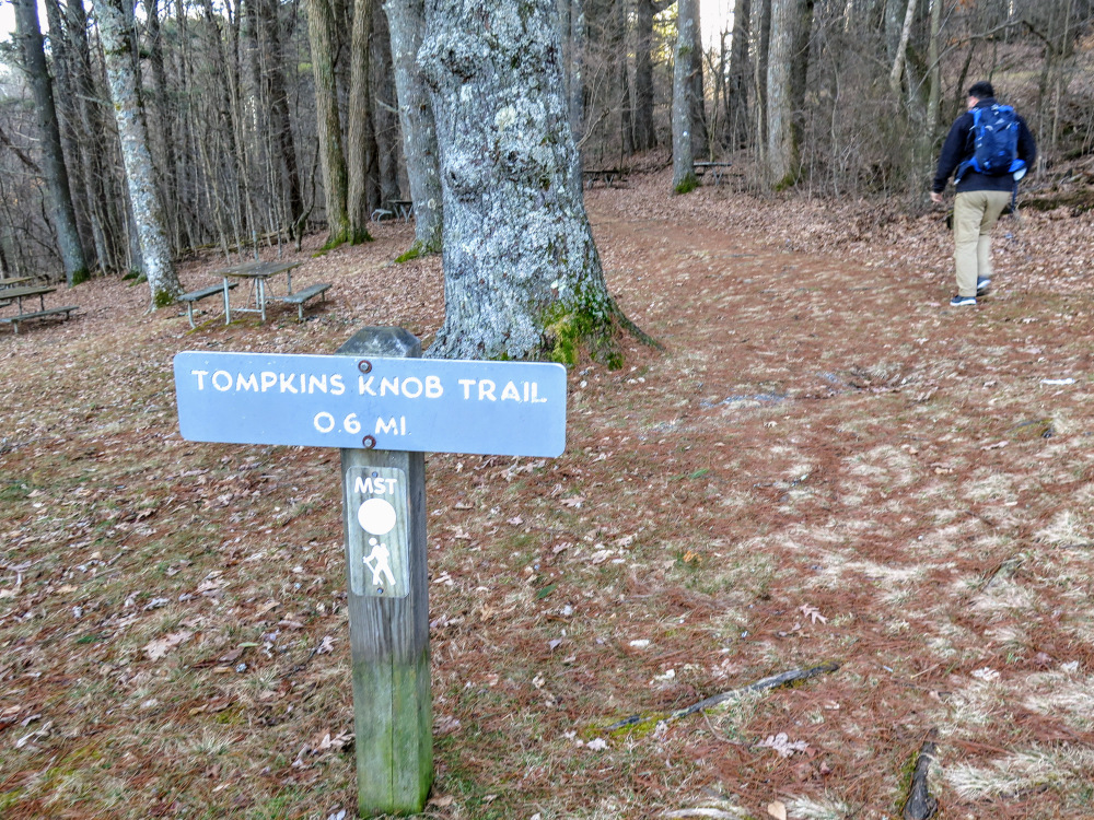
E.B. Jeffress Park is one of the smallest recreation areas (600 acres) managed by the Blue Ridge Parkway. Located just north of Deep Gap and U.S. 421, the park is home to two short trails to Tomkins Knob Overlook and Cascade Falls. Due to its proximity to the highway and Boone, NC, this is a very popular stop for travelers.
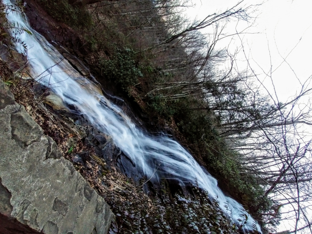
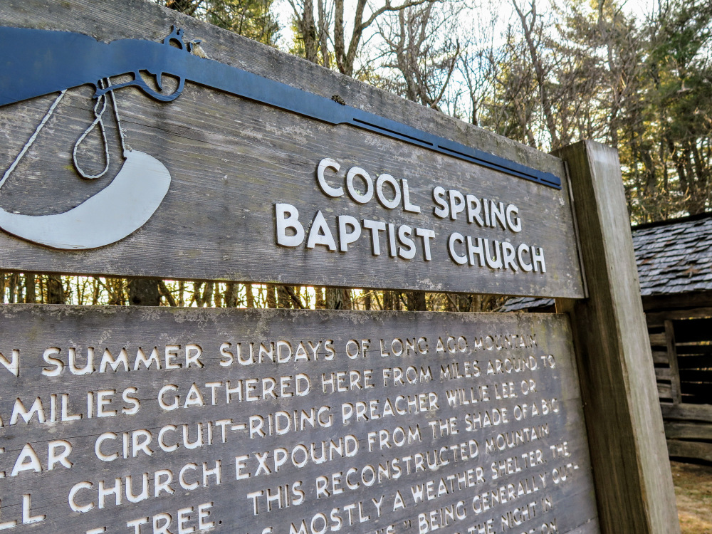
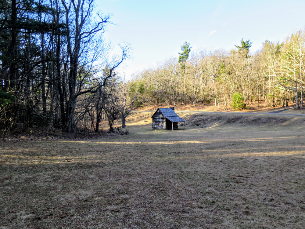
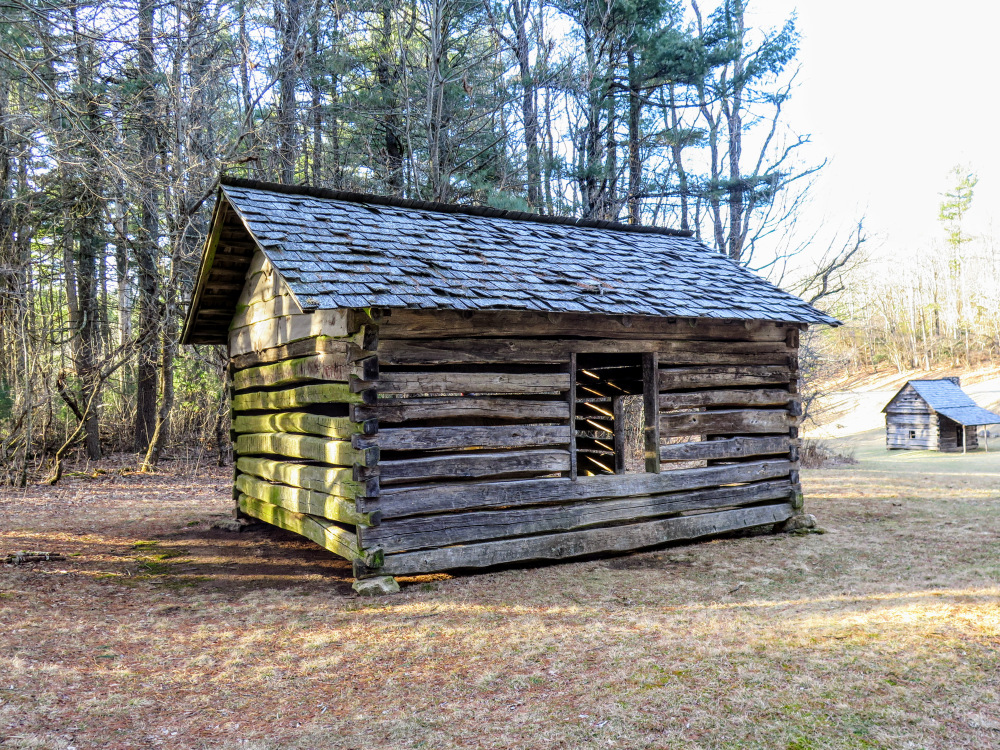
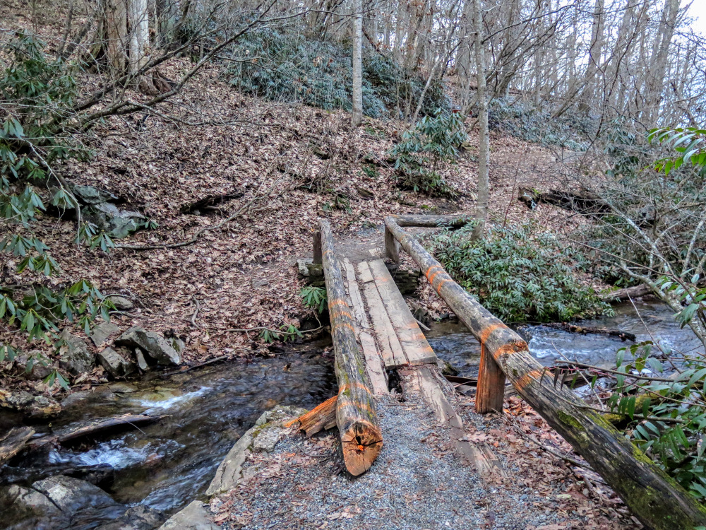
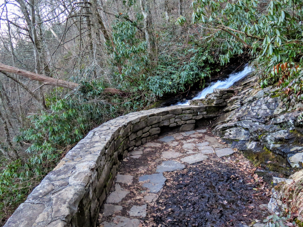
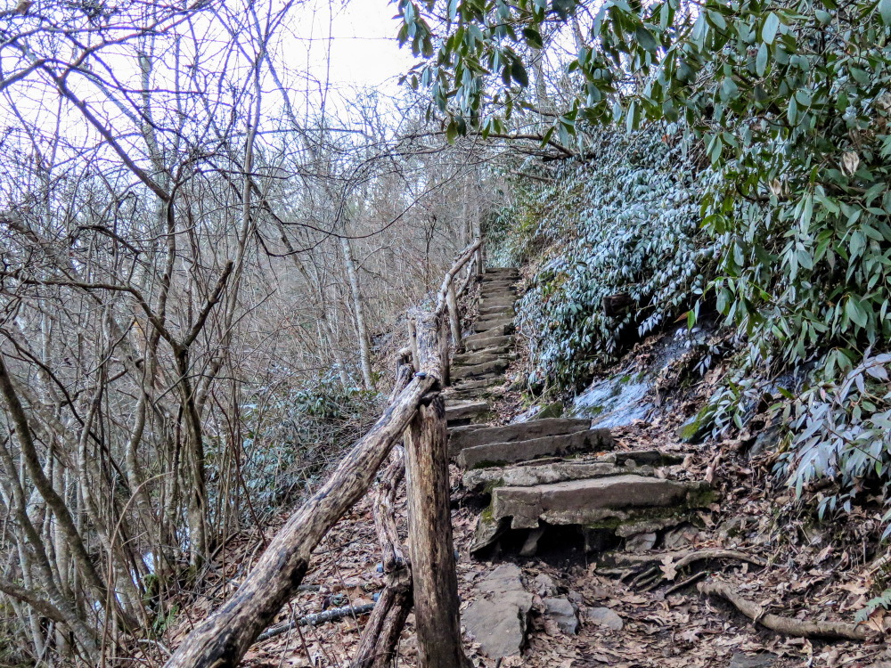
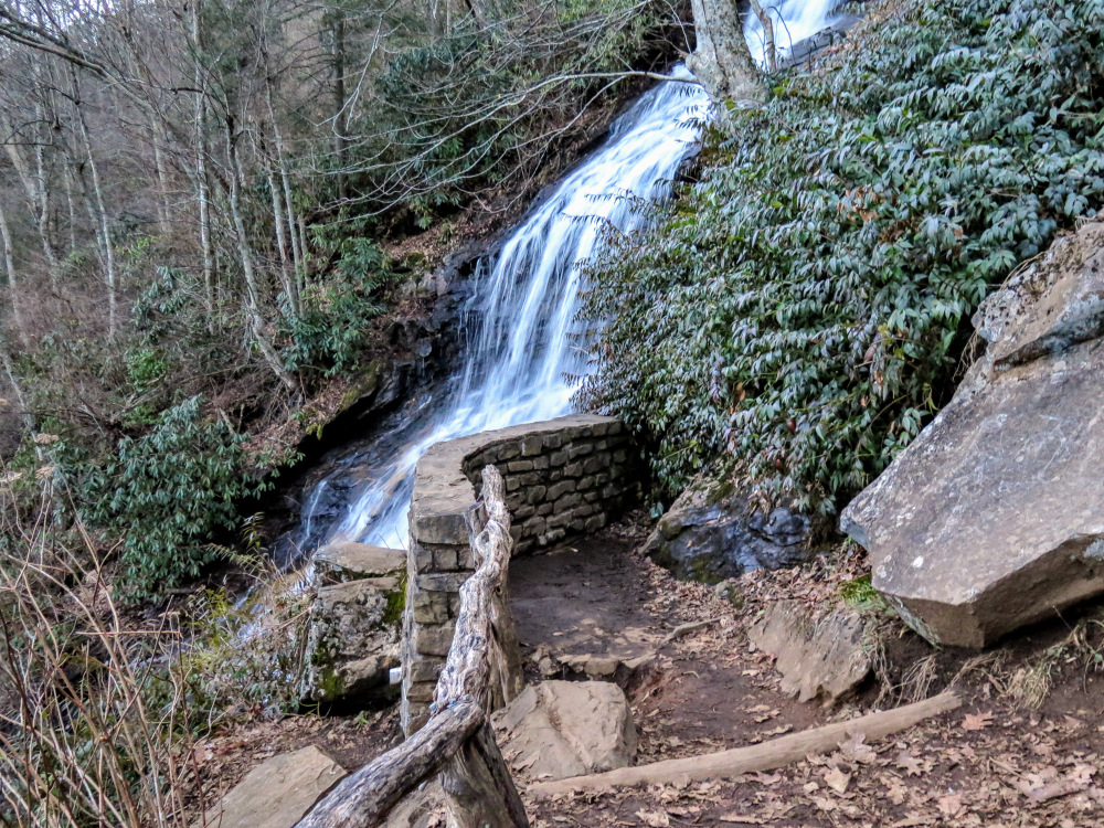
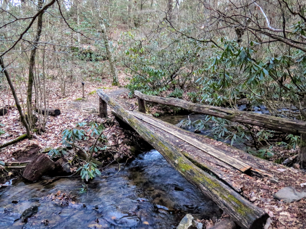
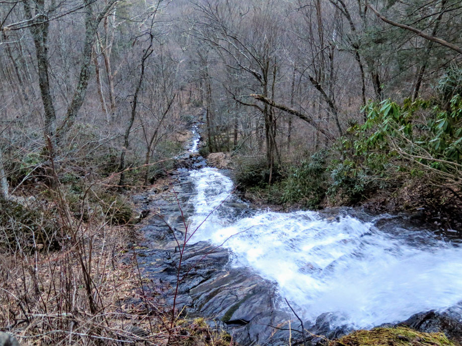
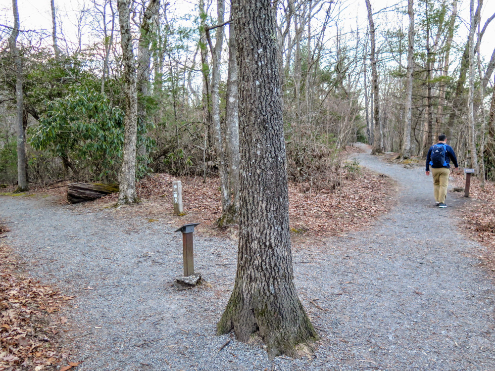
The main attraction is the waterfall but adding the interpretive trail to the reconstructed cabins will briefly bring you away from the crowds. Located in a grassy saddle below Thomkins Knob, the cabins offer a glimpse into 19th-century living. A loop trail combining the Cascades Trail and Mountains-to-Sea Trail brings you down to Cascade Falls, a high, cascading waterfall on Fall Creek that is nearly 150 feet high. Unfortunately, the official trail only leads down to the midpoint of the waterfall, but the view of this tall waterfall is still worth the short hike. This loop also includes twenty interpretive plaques providing a wealth of information about the ecological diversity you'll see on the trail.
|


