
|
 By Trail Contributor: Zach Robbins (Contact Zach) By Trail Contributor: Zach Robbins (Contact Zach)
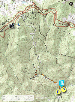
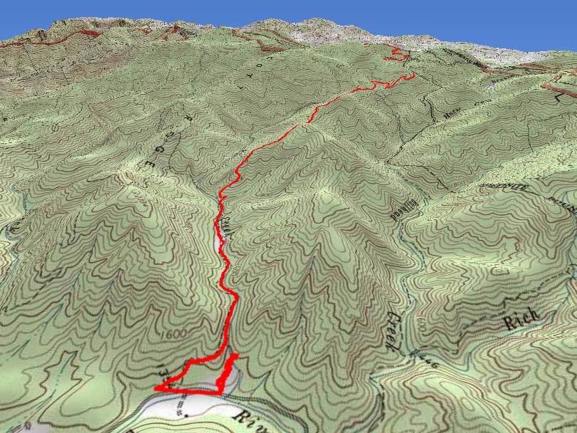
Stone Mountain State Park offers some of the best waterfalls and rock outcrops in North Carolina all packed into a popular loop. The park is quite crowded in the summer given its ease of access and proximity to Winston-Salem. If you want an alternative hike that promises water, steep climbs, and isolation, then try the Mountains-to-Sea Trail (MST). From the backpack parking lot on the west side of the park, the MST and Widows Creek Trail follow Widows Creek before climbing arduously towards the Blue Ridge Parkway.
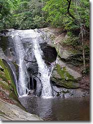
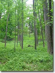
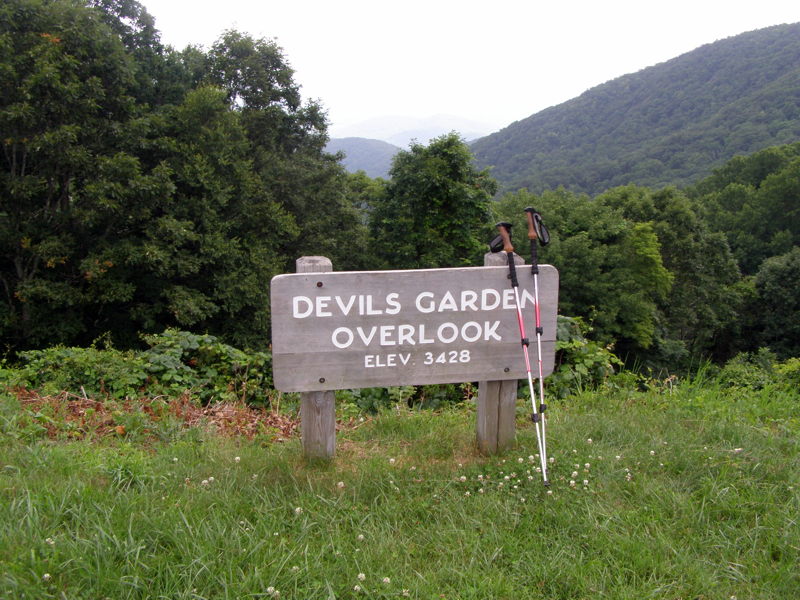
Along the way you’ll pass multiple forest ecosystems and a possible abandoned moonshine site. Additionally, there is the old concrete foundation for the now gone aerial tramway. The MST meets the parkway at the Devil’s Garden Overlook offering views back into Stone Mountain State Park of the Garden Creek watershed. While not the most scenic hike, this provides a tough workout in complete isolation. As a bonus stop by Widows Creek Falls just down the road for a post-hike soak.
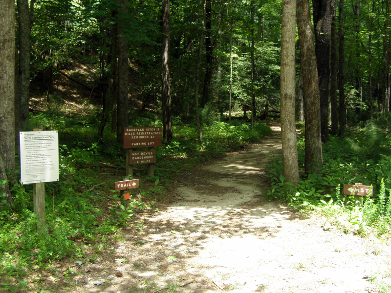
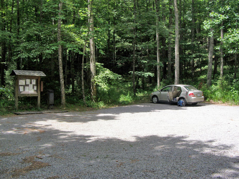
The park is accessed by taking Traphill Road off of U.S. 21 near Roaring Gap. The main park entrance is on the John P. Frank Parkway. Before starting the hike, stop by the visitor’s center for a free state park trail map. The John P. Frank Parkway winds around the north side of Stone Mountain crossing over the many creeks that feed into the East Prong of the Roaring River. The hike starts at the backpack parking area on the low west side of the park. The lot is directly off the road and has plenty of room to park.
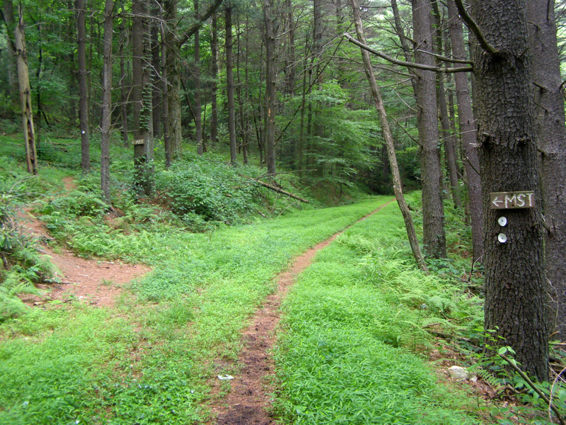
- Mile 0.0 – From the backpack parking lot, the Mountains-to-Sea Trail (white blaze) and Widows Creek Trail (orange square blaze) starts on the right
- Mile 0.2 – Reach top of the ravine above Widows Creek Falls, there is no spur trail to the waterfall from here
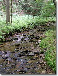
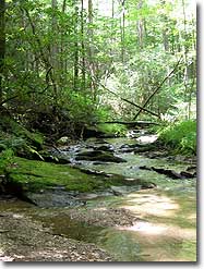
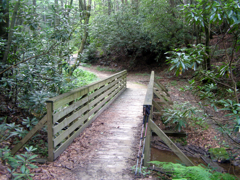
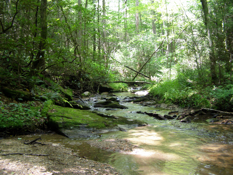
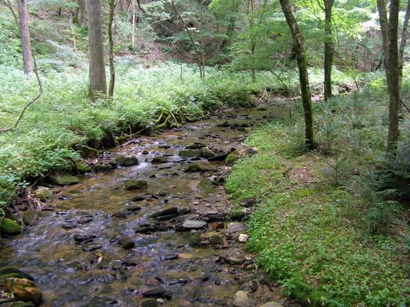
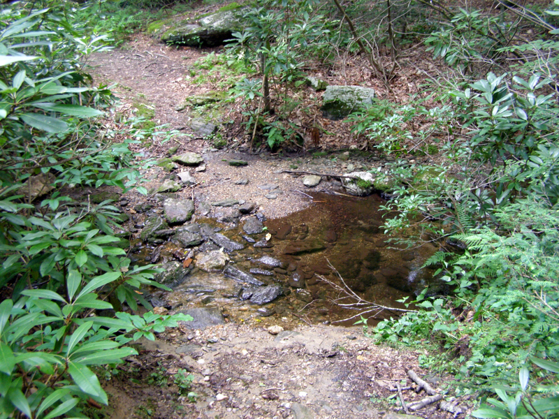
- Mile 0.4 - The trail crosses Widows Creek on a nice wooden bridge and follows Widows Creek for the next 0.7 miles
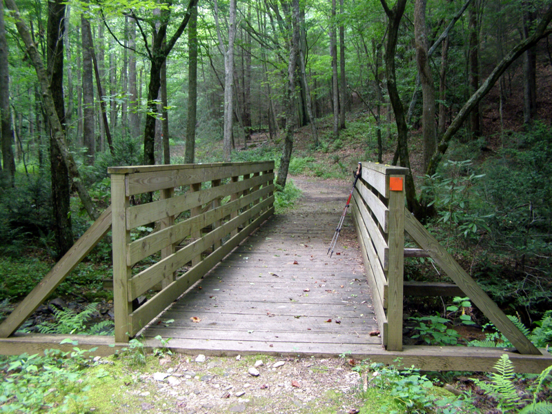
- Mile 0.5 – Second bridge crossing over Widows Creek
- Mile 0.9 – Third bridge crossing over Widows Creek
- Mile 1.1 – Trail split, Widows Creek Trail goes left. Stay right on the Mountains-to-Seal Trail
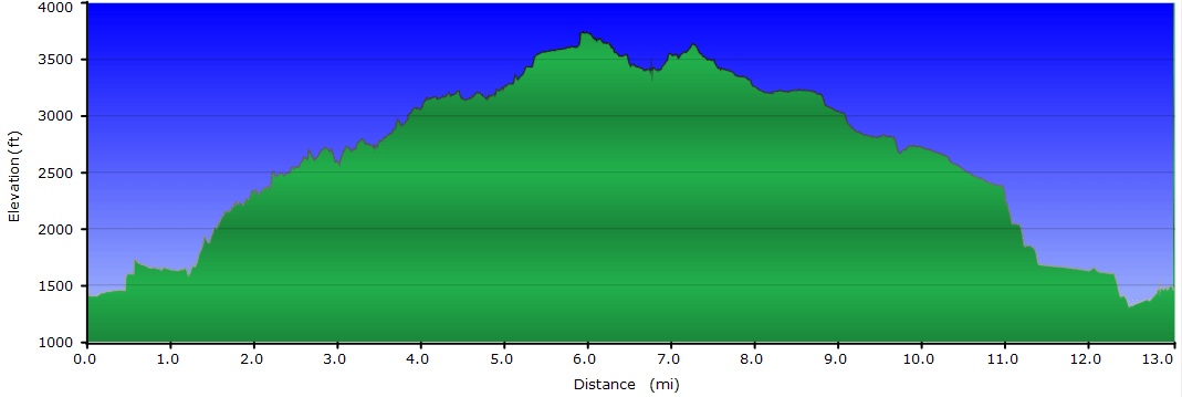
- Mile 1.2 – Begin very difficult ascent to Scott Ridge, 950 feet elevation gain over the next mile on an old forest road
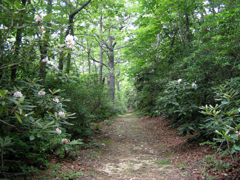
- Mile 2.0 – Pass through a thick section of rosebay rhododendron
- Mile 2.8 – Junction with old MST (trail is closed), stay right on the new MST gradually going downhill into a drainage
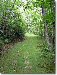
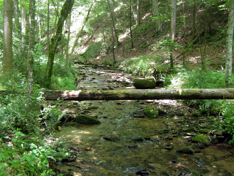
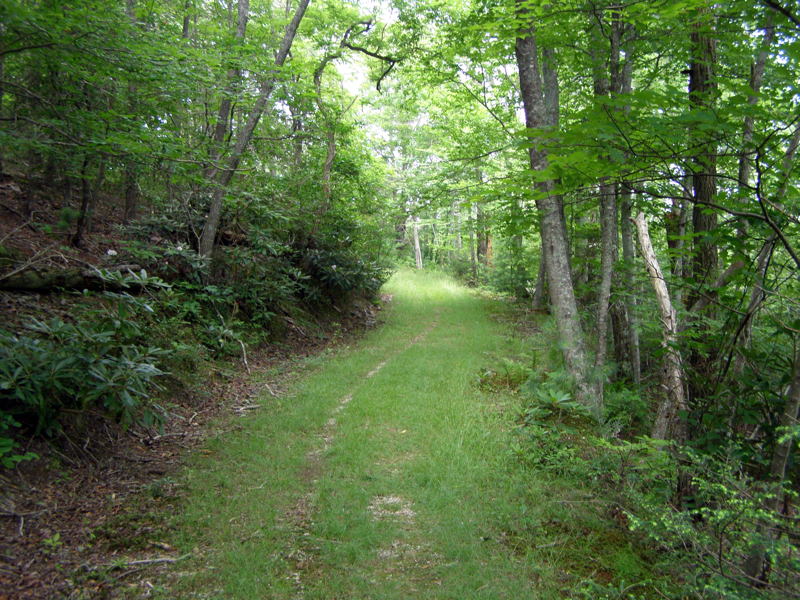
- Mile 3.2 – Cross over a tributary of Bullhead Creek then gradually ascend east on increasingly open trail with grass covering the road
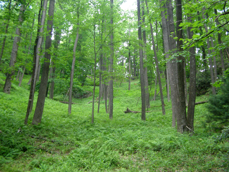
- Mile 3.6 – Pass through a deciduous forest with towering skinny trees
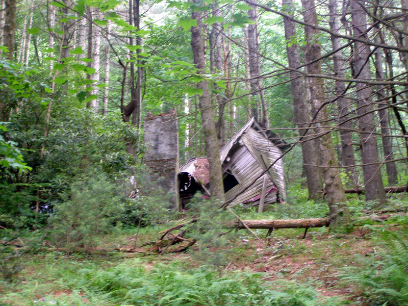
- Mile 4.6 – An abandoned cabin that has collapsed is on the left above the trail
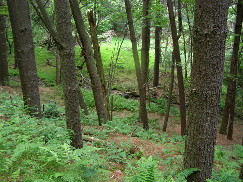
- Mile 4.8 – The MST splits left off of the forest road and follows a narrow path up. On the right side of the road, the origins of Bullhead Creek are visible below in a grassy clearing. An old steel drum is sitting in the creek, this could be an old moonshine still. There are many sites of moonshine locations in the state park.
- Mile 4.9 – Another junction with a forest road, the MST goes left up the mountain. From here the MST follows long, moderate switchbacks towards the crest for 0.5 miles
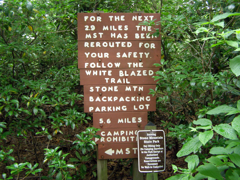
- Mile 5.7 – Junction with an unmarked trail. The MST goes right at a sign describing the rerouted MST. Stay straight to go to the unnamed summit (optional)
- Mile 5.9 – Trail split, summit trail is on the left (blue blaze on rocks). The trail on the right goes downhill with no blazes, unknown where this trail leads to.
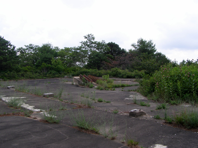
- Mile 6.0 – Reach summit (3,740 feet) containing a large concrete foundation of the old aerial tramway. There are no views here. Turn around heading towards the MST.
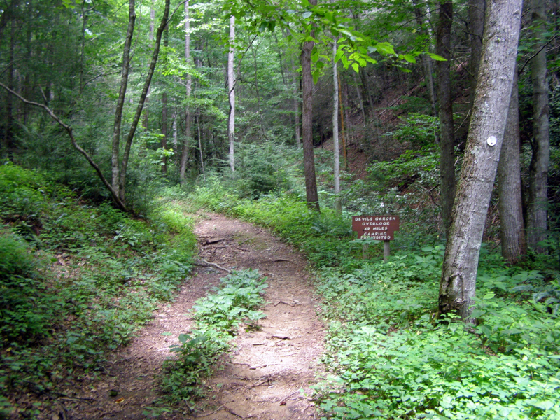
- Mile 6.3 – Take a left at the MST junction, the trail drops steeply towards the parkway
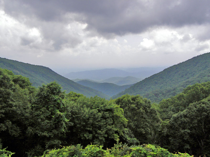
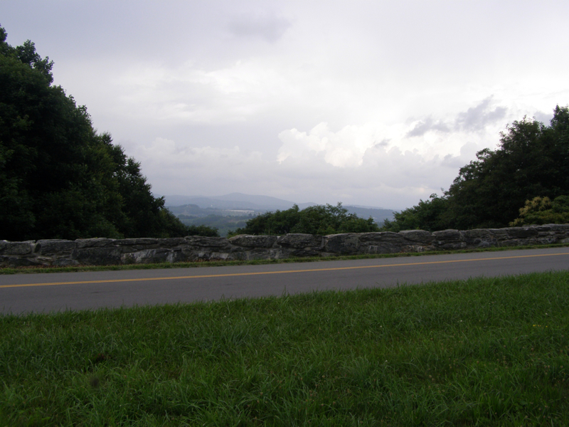
- Mile 6.6 – Reach Devil’s Garden Overlook on the Blue Ridge Parkway. From here you can see the steep drainage of Garden Creek on the east side. There is an area with views on the other side of the parkway. Turn around and head back on the MST.
- Mile 9.9 – Reach the steep section that was previously hiked up. This descent is difficult and hard on the legs. Take this descent slowly.
- Mile 12.5 – Hike finishes at the parking lot
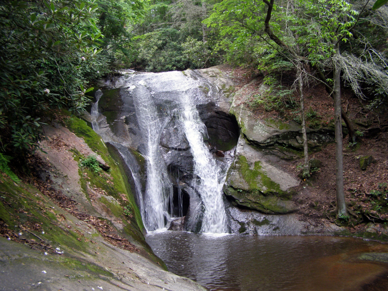
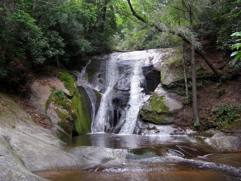
Bonus: After the pounding descent takes a toll on your feet, hop in the car and drive the short 0.15 miles north on John P. Frank Parkway to the Widows Creek Falls parking area. There is no trail connecting these two lots so it is better to take the car. The waterfall is a beautiful 25-foot drop then the creek flows gently over multiple pools perfect for soaking your feet. The waterfall is only 0.1 miles from the parking area.
- Mile 0.0 – Park at the Widows Creek Falls parking area along the road
- Mile 0.1 – Reach the base of Widows Creek Falls, soak in the pools below and enjoy the view. Turn around back to the parking area
- Mile 0.2 – End of trail at parking area
|


