|
| Length |
Difficulty |
Streams |
Views |
Solitude |
Camping |
| 2.8 mls |
 |
 |
 |
 |
N/A |
Hiking
Time:
Elev. Gain:
Resources: |
1.5 hours with 10 minute break
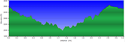
981 ft
 Topo Hike Trails Map (PDF) Topo Hike Trails Map (PDF)
Lowgap NC Weather Forecast
Current Weather Radar
Garmin (GDB), Gaia/Trails App (GPX) (What's
this?)
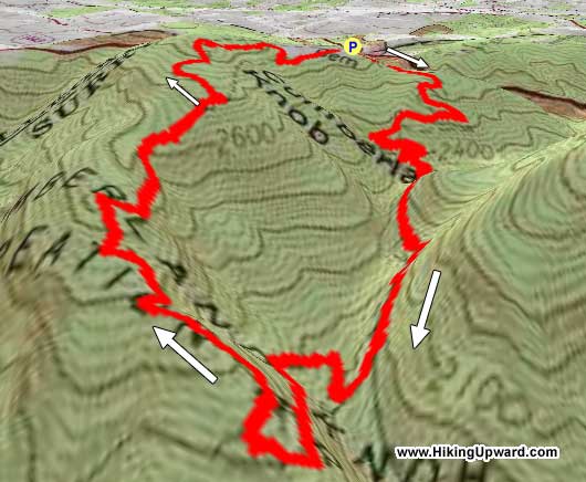
3D View of Route |
 By Trail Contributor: Zach Robbins (Contact Zach) By Trail Contributor: Zach Robbins (Contact Zach)
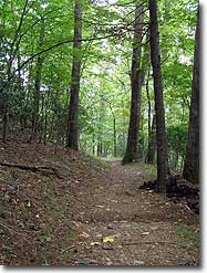
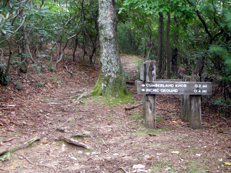
Cumberland Knob Recreation Area is not noteworthy for being a hiking destination. However, it does have a great loop trail that likely attracts few hikers due to its short length and remote location. This loop is short and will take less than 2 hours maximum, so it is not something to plan a full day around. But, if you are exploring the Blue Ridge Parkway near the North Carolina/Virginia border this could be a great stop to stretch your legs or combine it with other short trails along the parkway.
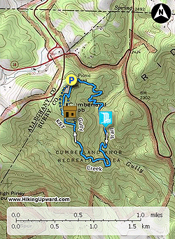
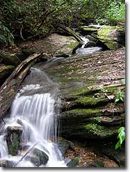
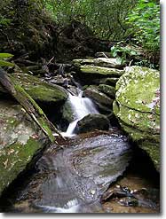
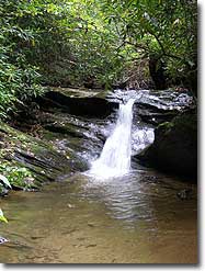
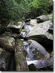
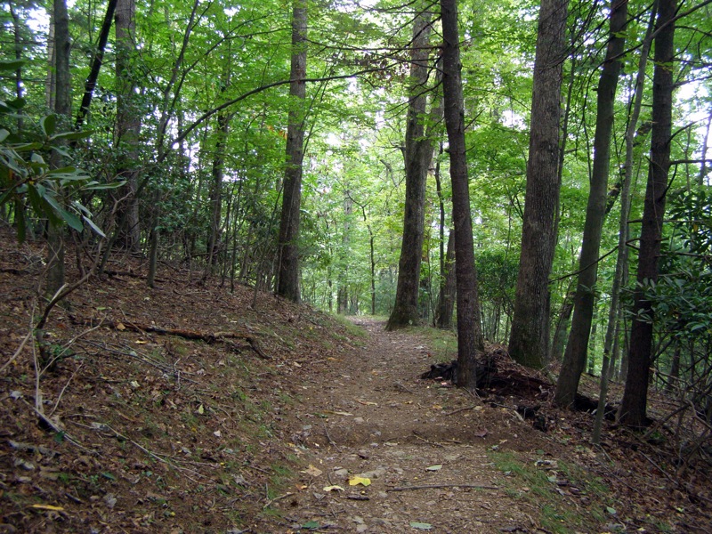
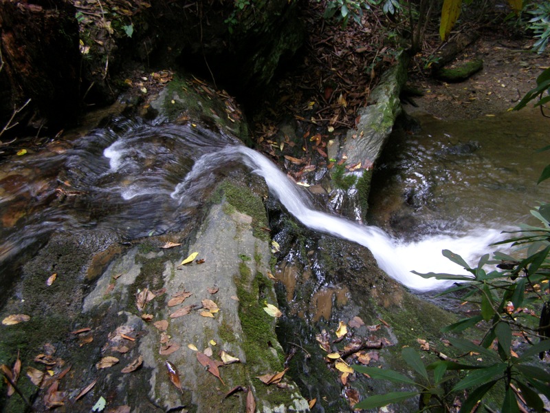
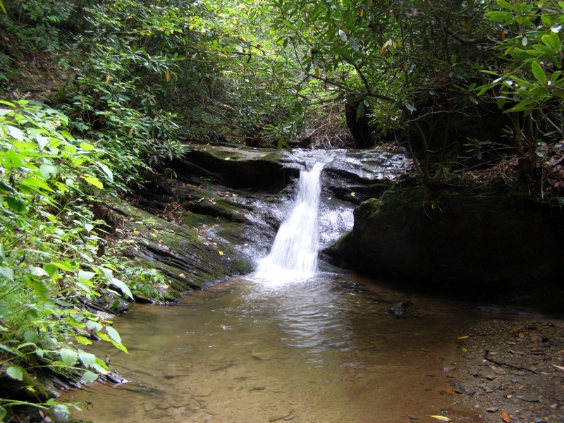
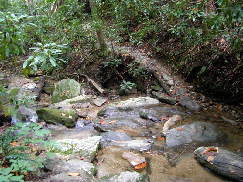
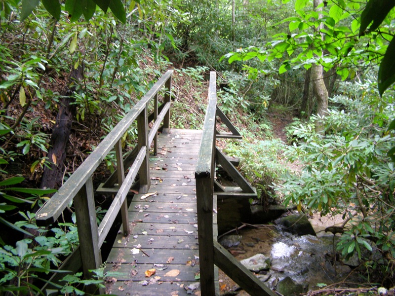
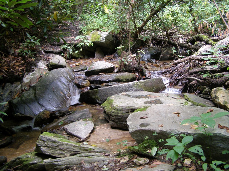
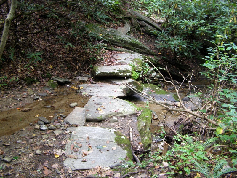
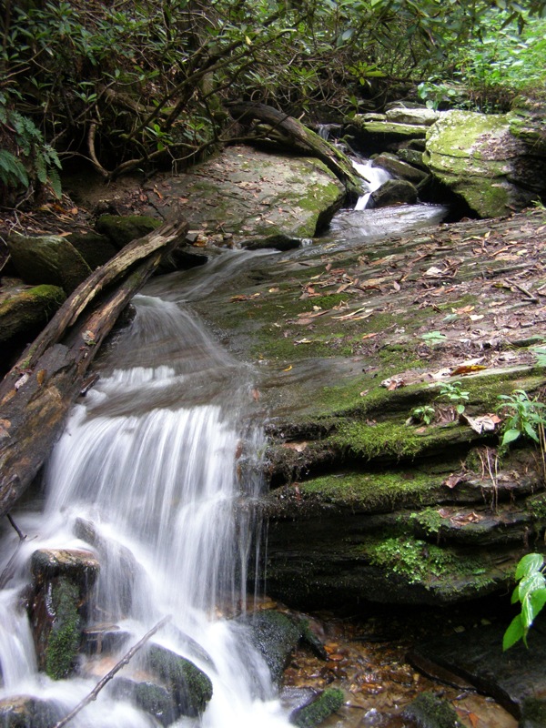
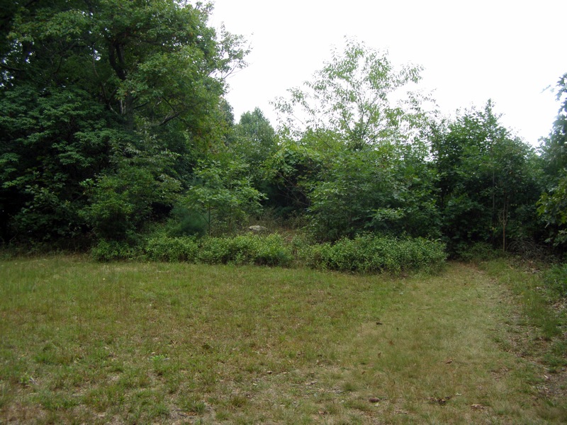
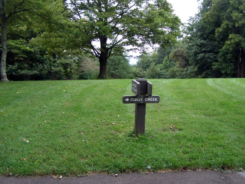
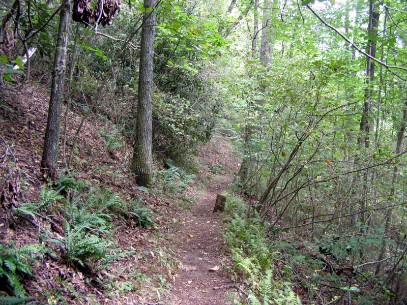
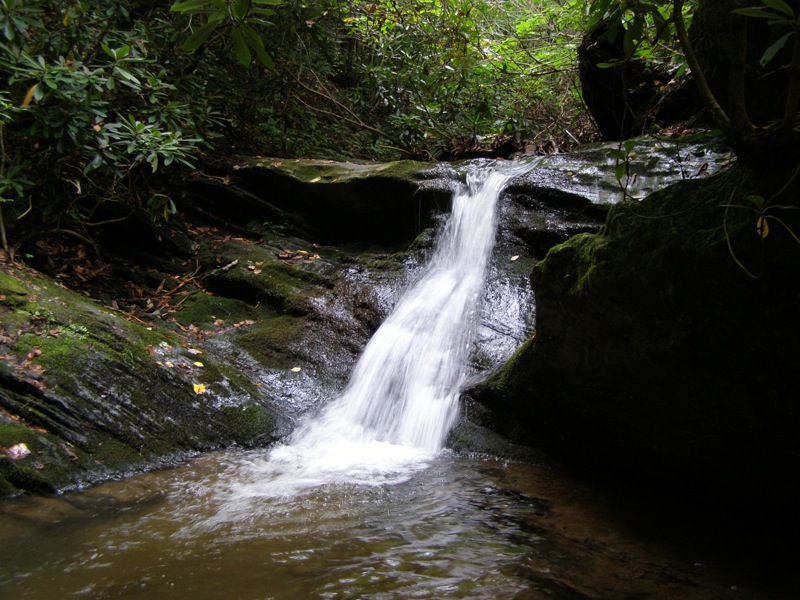
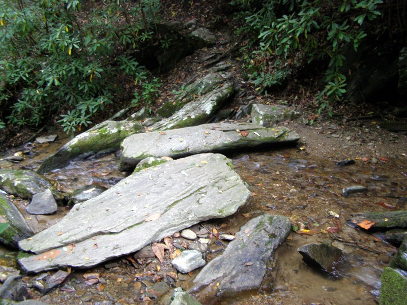
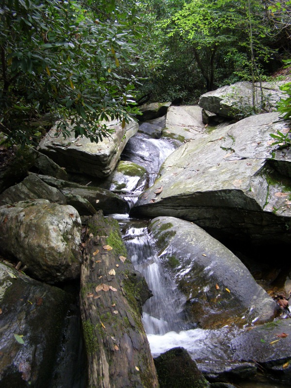
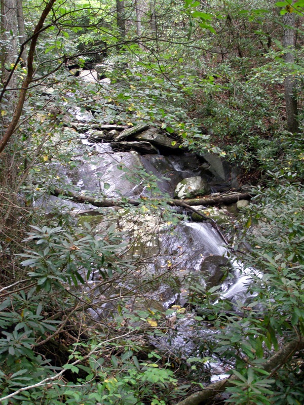
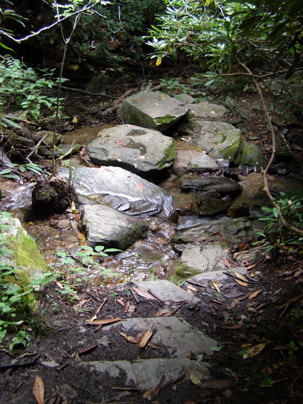
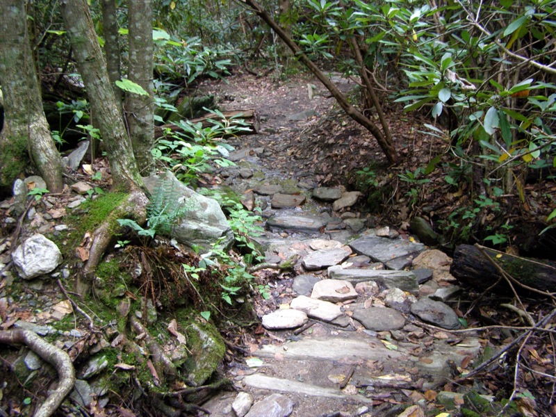
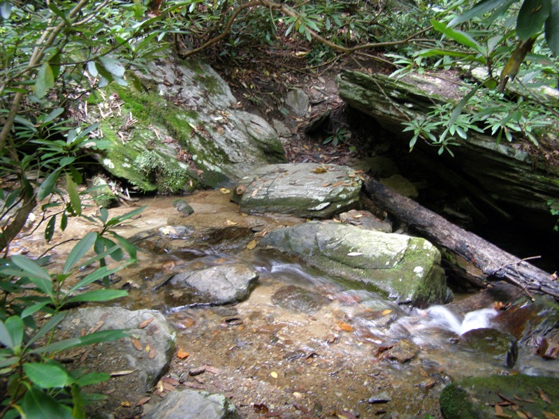
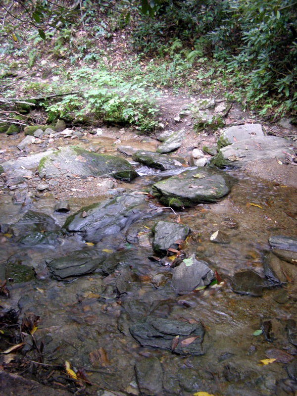
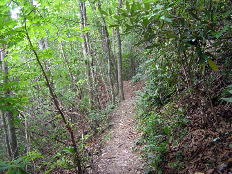
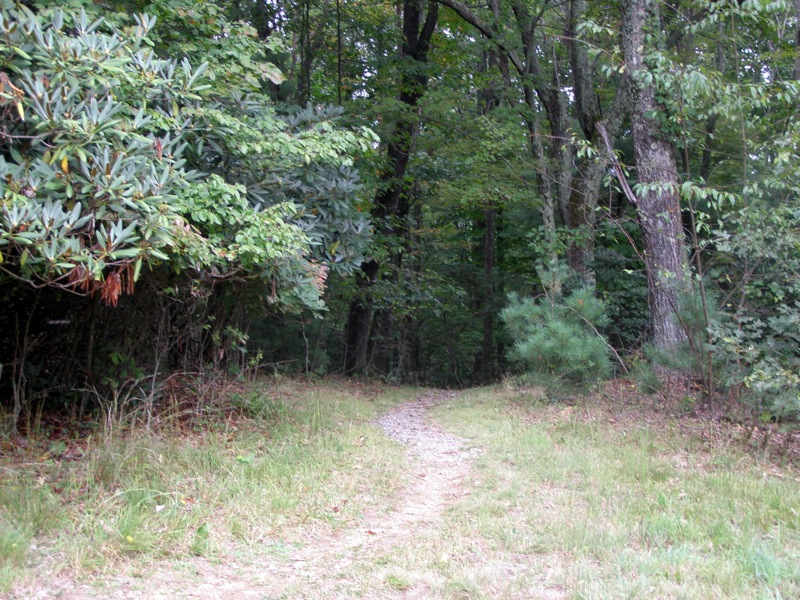
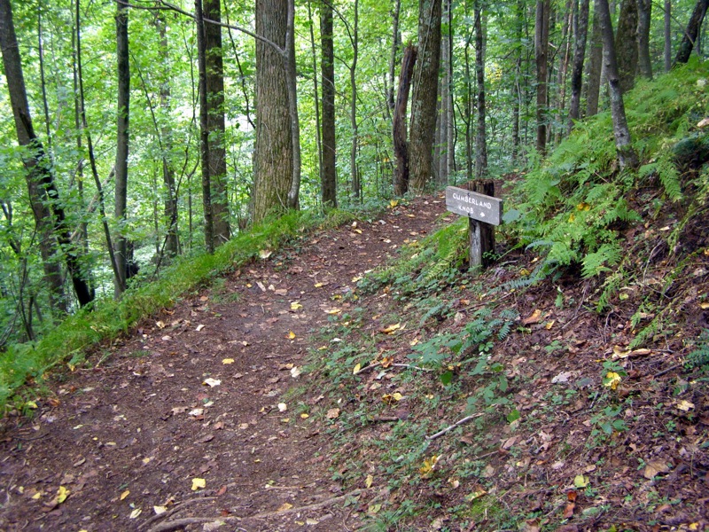
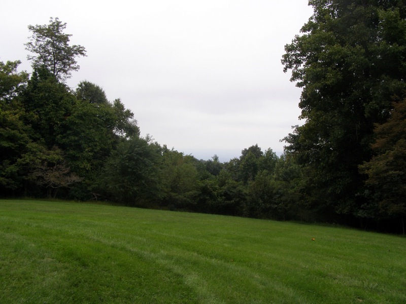
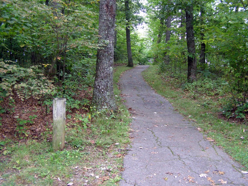
The Gully Creek Trail leaves the picnic area and drops steeply to the Gully Creek drainage where you will follow the creek for a fantastic half mile. Here you will pass a small, beautiful waterfall and numerous cascades in this narrow gorge. After leaving the creek the trail climbs steadily to the tree-covered Cumberland Knob before returning to the picnic area. Be sure to check out the eastern view of Pilot Mountain from the grassy picnic area before you hop back in the car.
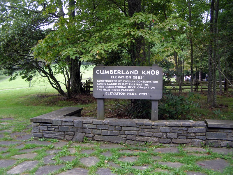
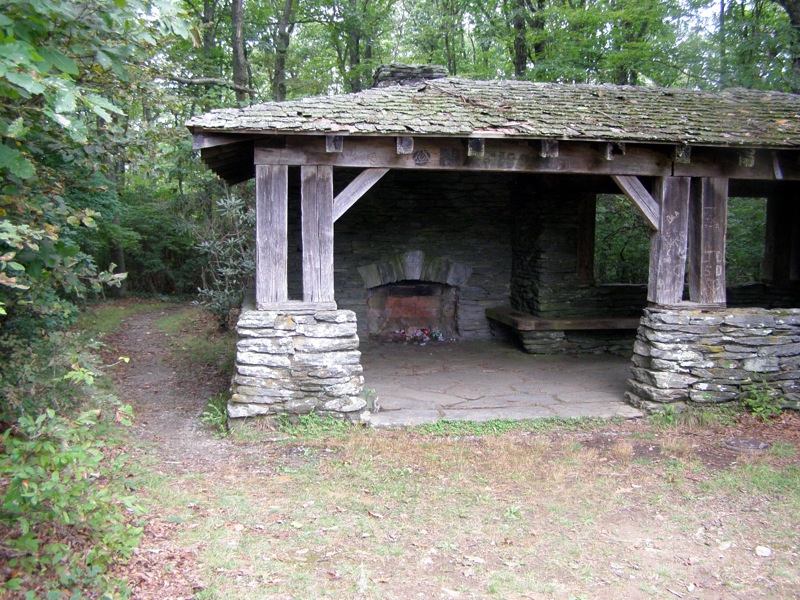
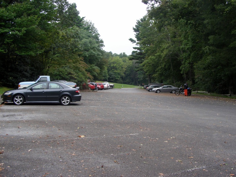
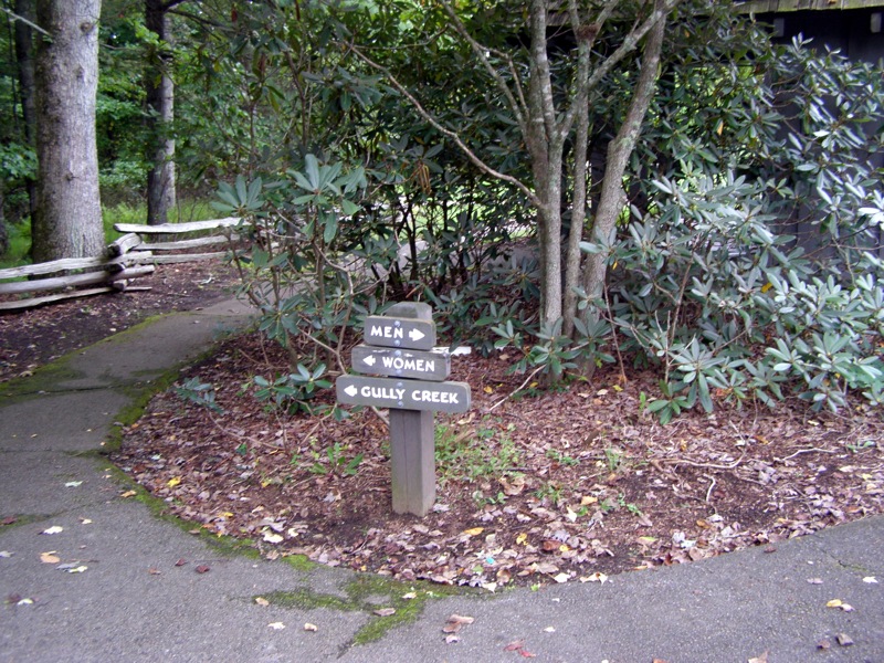
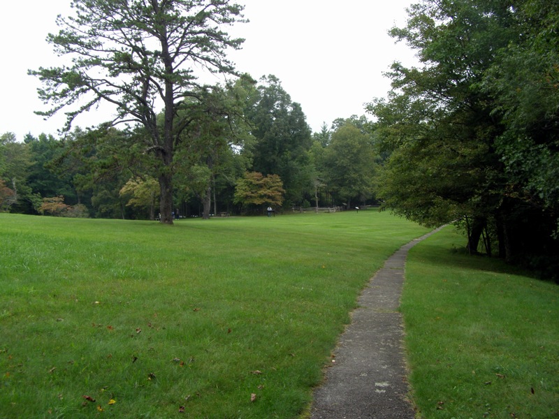
Where NC-18 crosses under the Blue Ridge Parkway at Low Gap a few miles south of the Virginia border, enter the parkway and drive south for 0.3-mi. The Cumberland Knob Recreation Area is well-signed on the east side of the highway with ample parking for cars and campers. Park in the main lot beside the picnic area and comfort station. The loop trail starts directly behind the comfort station on the left side of the parking lots.
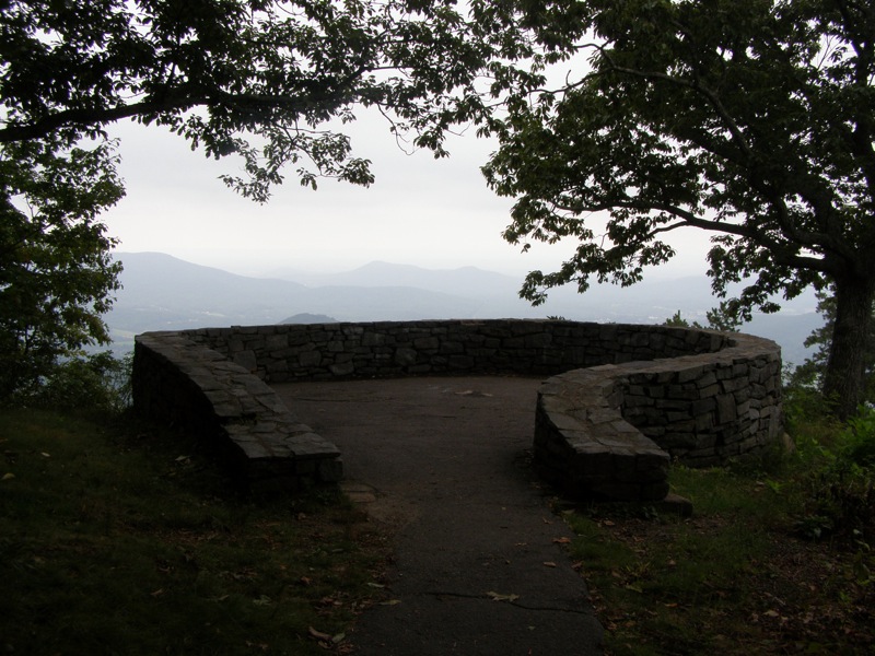
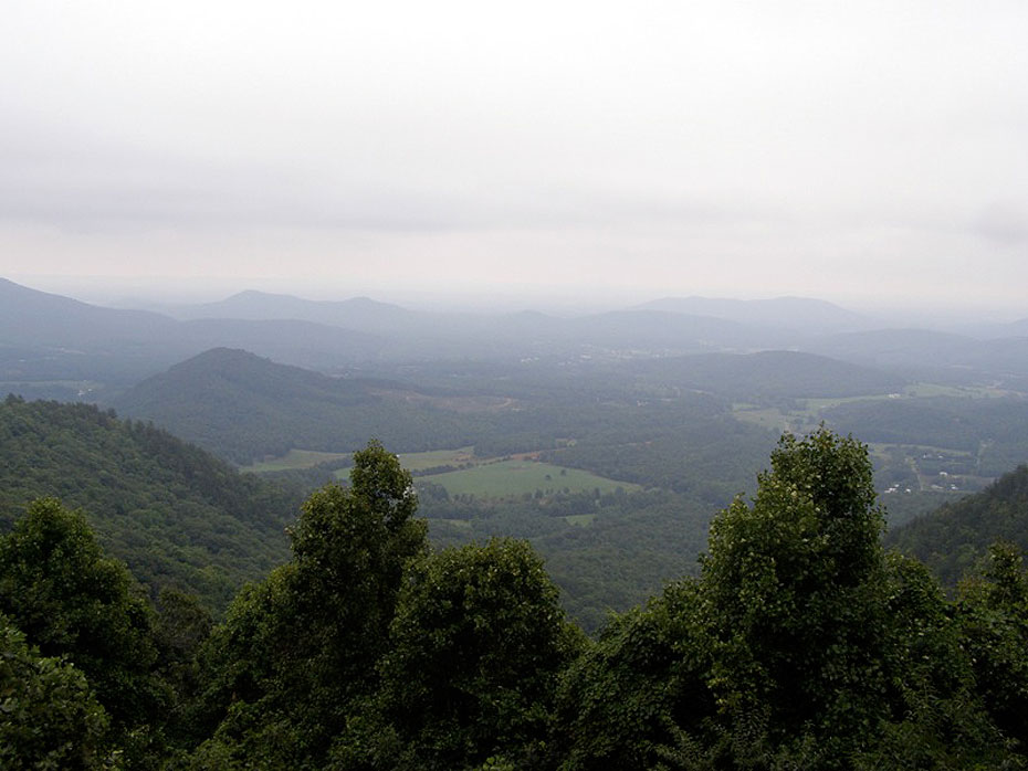
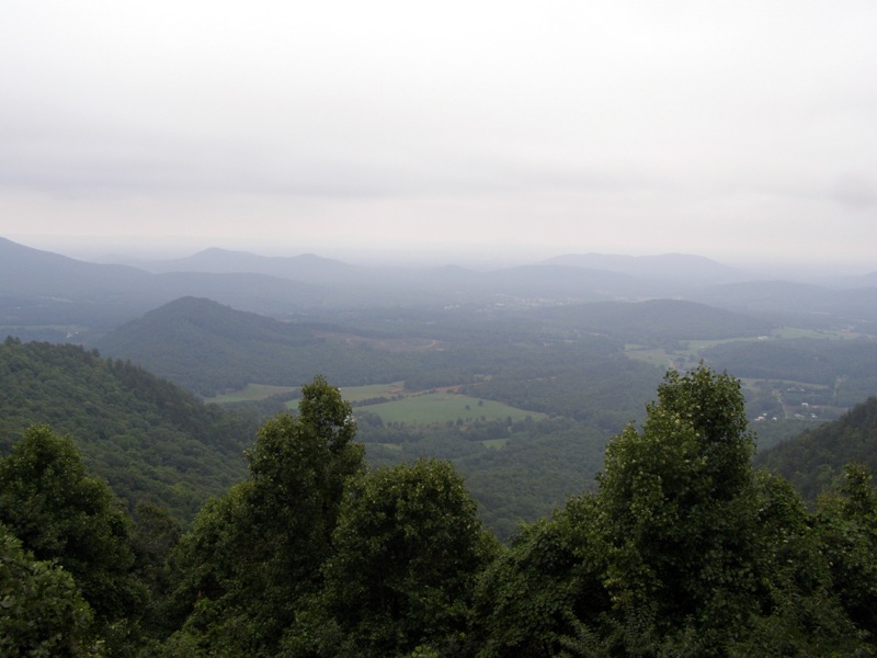
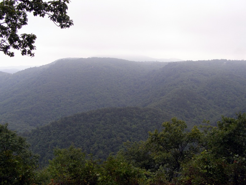
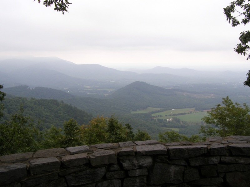
Bonus: A few miles south of Cumberland Knob is the excellent Fox Hunter’s Paradise Overlook on High Piney Spur (2,805 feet). In addition to the view on the roadside turnout there is a side loop road to the right that leads to a short walk to a stone overlook. This stone overlook is perched at the end of High Piney Spur and provides great views south of Saddle Mountain and east and north of the ridge crest that dramatically drops to The Piedmont. Pilot Mountain can be spotted many miles away due east. A large tree provides shade so this makes an enjoyable stop for a snack break to admire one of the best overlooks in this region. |

