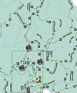
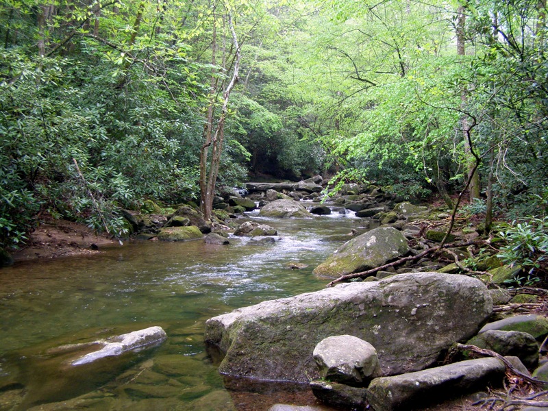
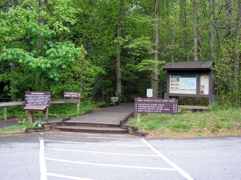
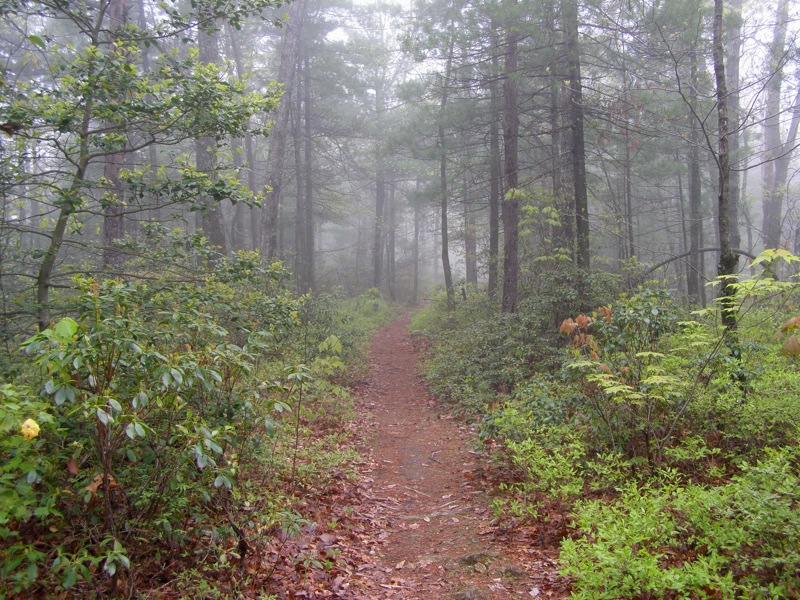
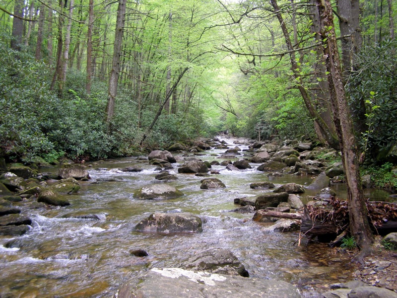
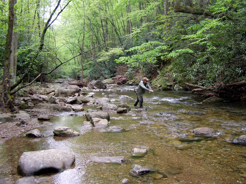
South Mountains State Park is the largest state park in North Carolina and has an extensive trail network. Despite the abundance of trails, this park isn’t heavily visited outside of its #1 attraction High Shoals Falls. The primary development and trail network begins at the east entrance of the park and covers the Jacob Fork River watershed. You won’t get many views on this hike, but you will get a lot of water.
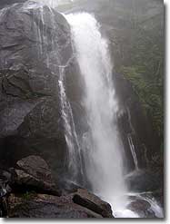
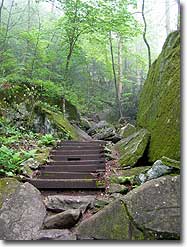
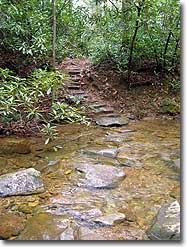
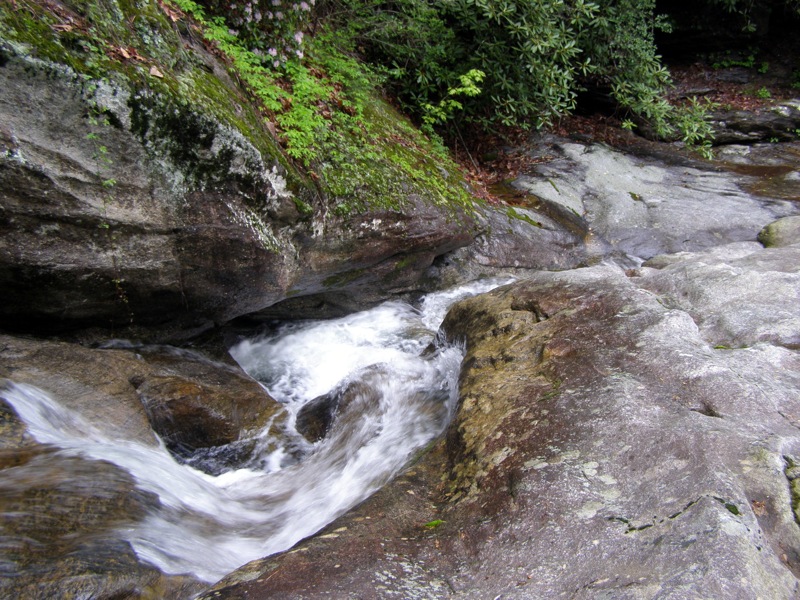
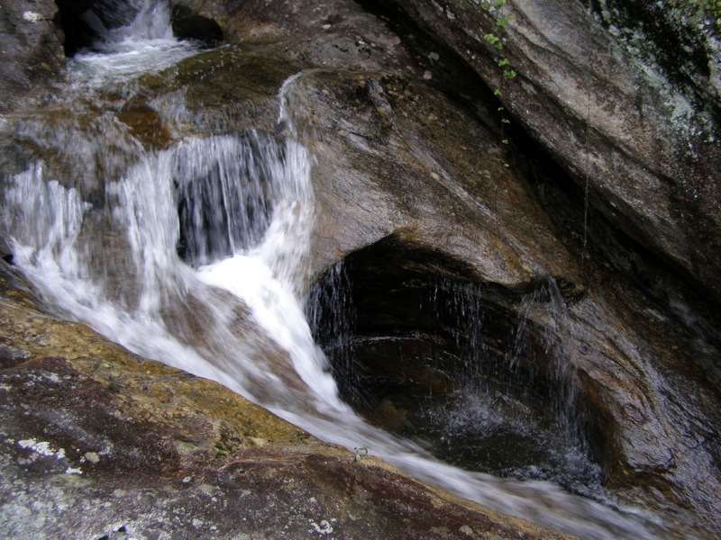
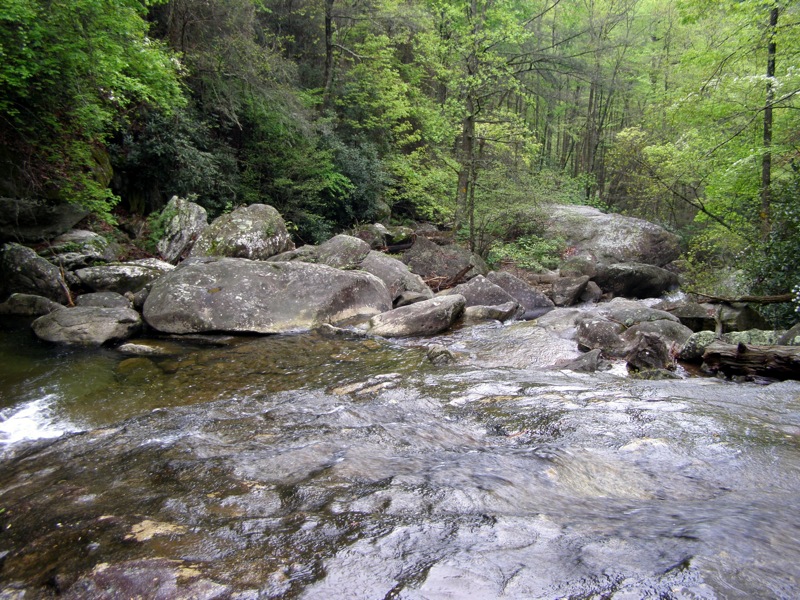
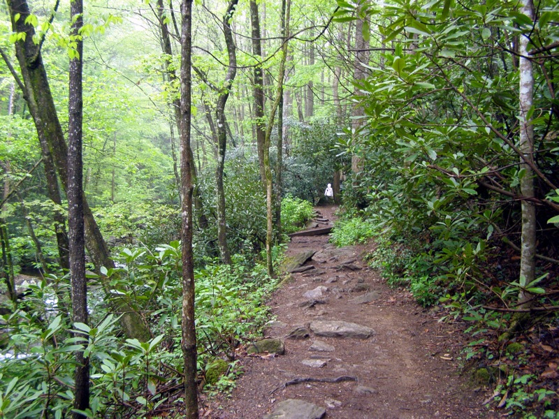
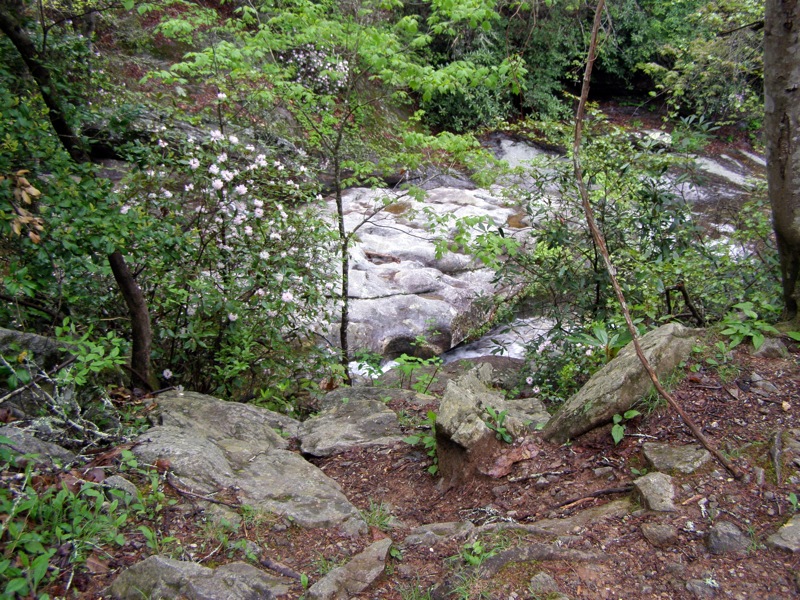
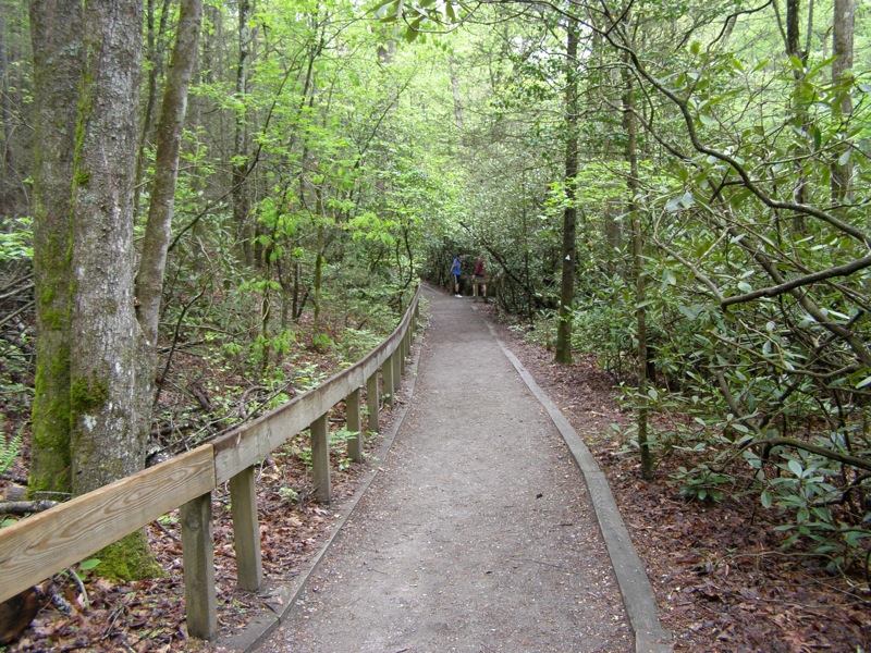
From the parking area the trail gently follows Jacob Fork River towards the rugged gorge below High Shoals Falls. This narrow gorge is chock full of enormous boulders that requires an extensive staircase to navigate. High Shoals Falls is an impressive 50-foot drop over a wide cliff that draws a lot of visitors. Most people turn around and head back to the parking lot or take the loop trail on the other side of the river. Instead continue beyond the waterfall following the Upper Falls Trail along a ridge above Jacob Fork River before descending to Shinny Creek. A remote trail follows this beautiful creek back to Jacob Fork River, along the way passing a small gorge with multiple cascades. Once you near the parking lot make sure to follow the nature trail which closely follows the river and provides many displays about the environment and ecology of the South Mountains.
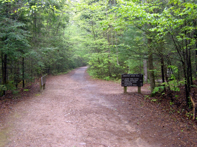
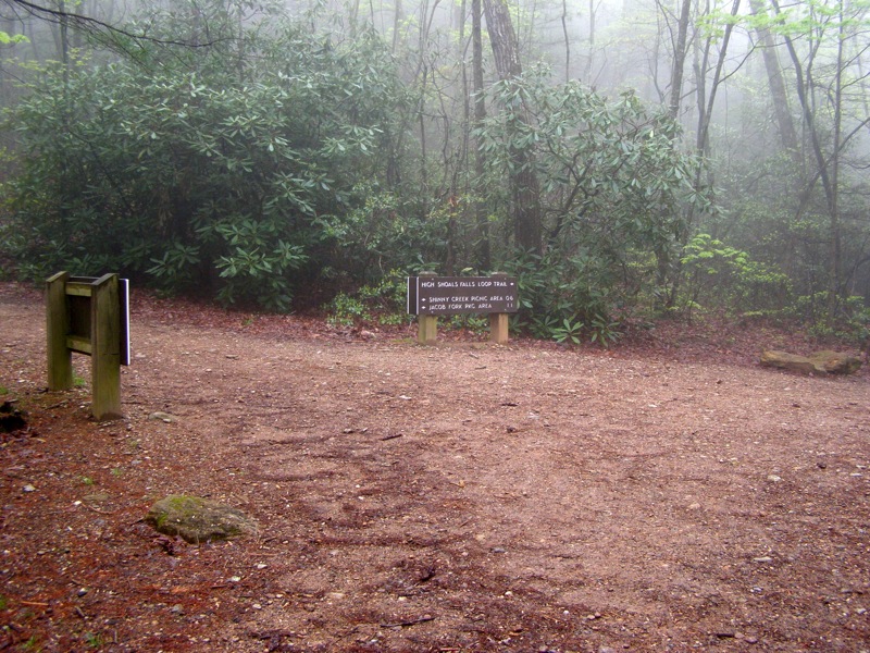
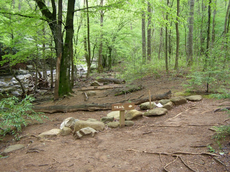
Mile 0.3 – Pass by junctions with the Hemlock Nature Trail (white triangle blaze) and Chestnut Knob Trail (white diamond blaze) and continue west on the High Shoals Falls Loop Trail.
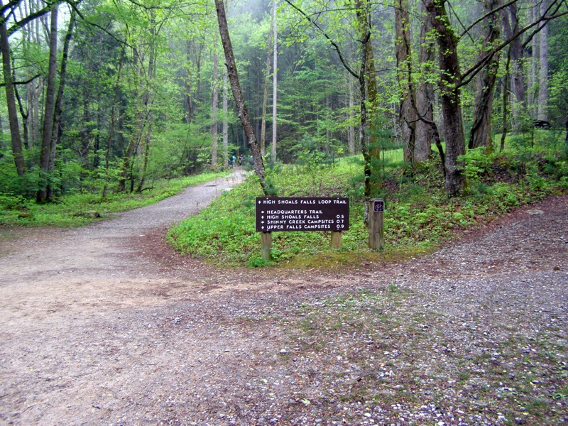
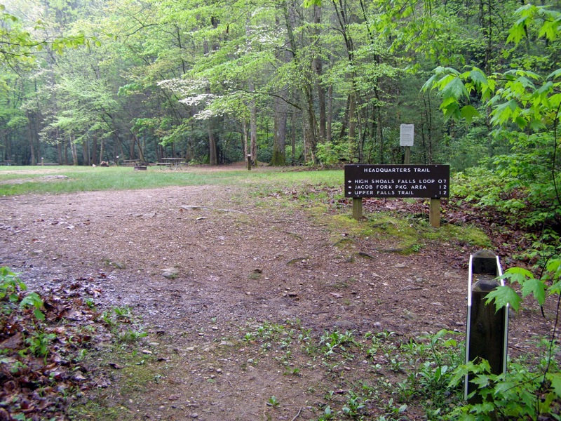
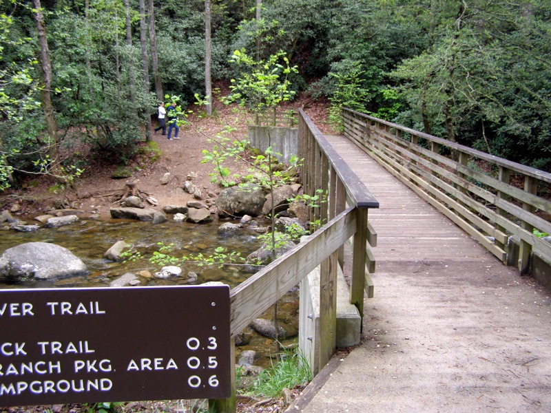
Mile 0.5 – After crossing a road bridge over Shinny Creek continue straight through a T-junction with the Headquarters Trail(orange hexagon blaze) on the right. Immediately after this junction the High Shoals Falls Loop splits. Stay left following the lower trail beside the river, which transforms from a gravel path to a rocky, single-file dirt trail. There is a viewing platform on the left side of the trail to view Jacob Fork River.
Mile 0.7 – Pass by Hugo Rock on the right side of the trail. The large rock face was created by a landslide during Hurricane Hugo in 1989.
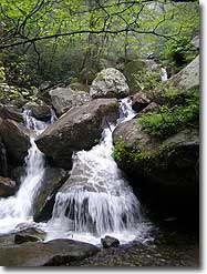
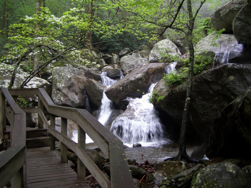
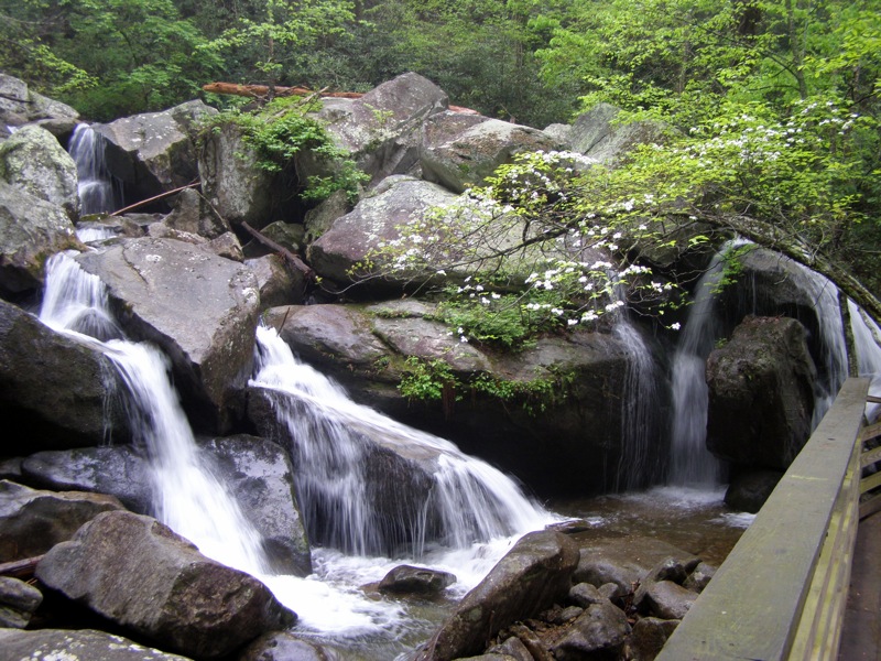
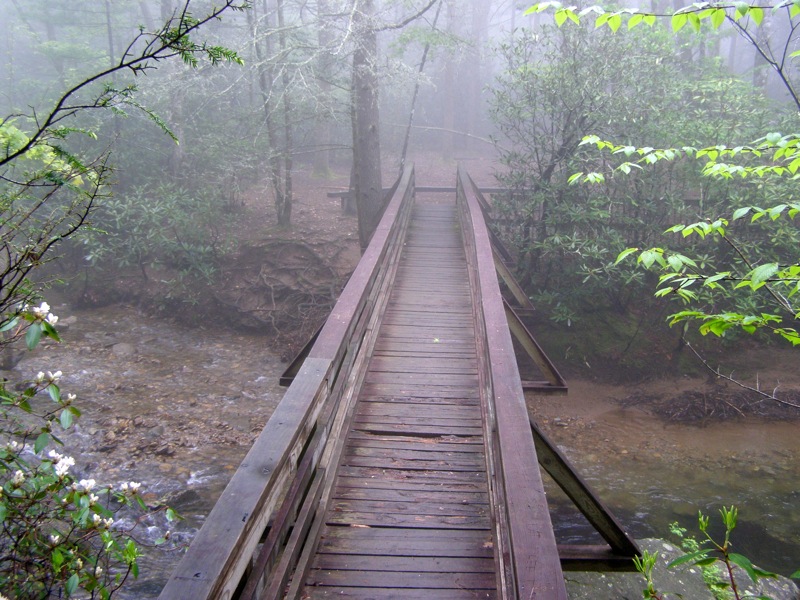
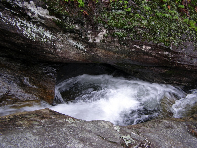
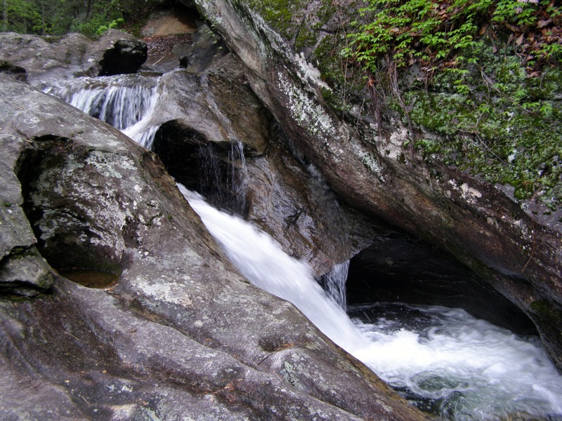
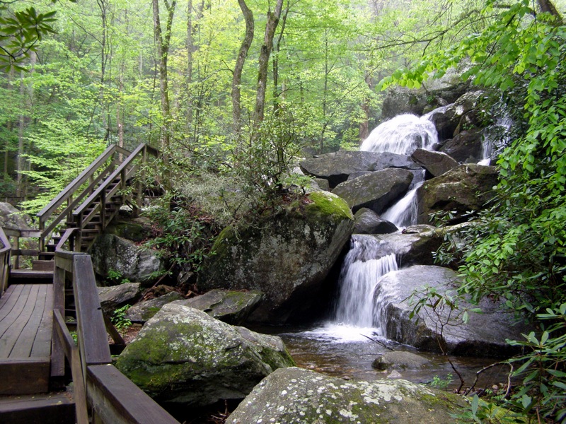
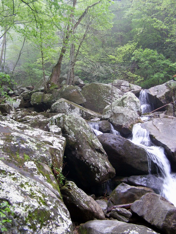
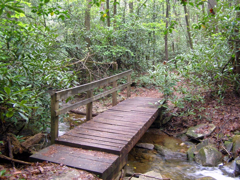
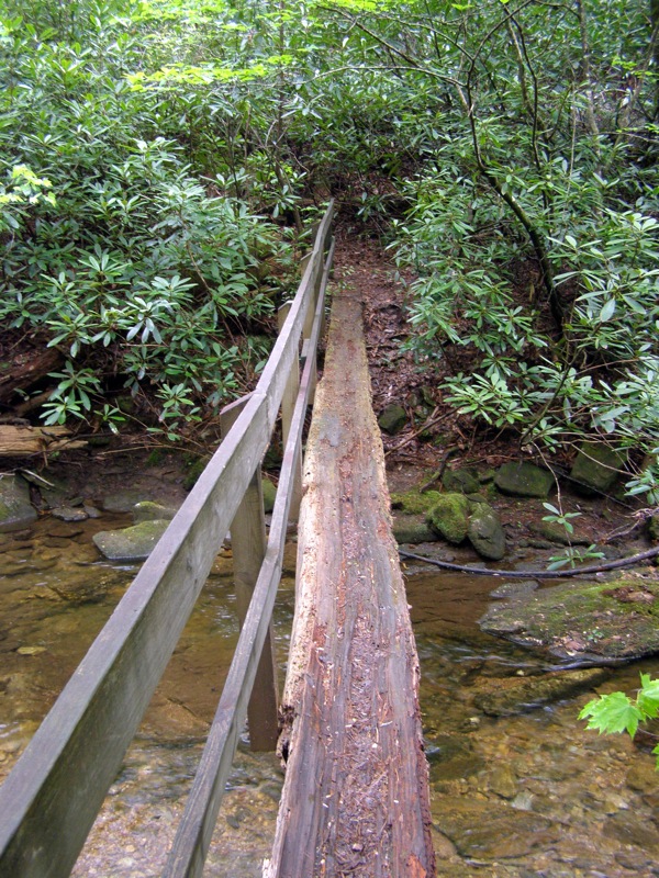
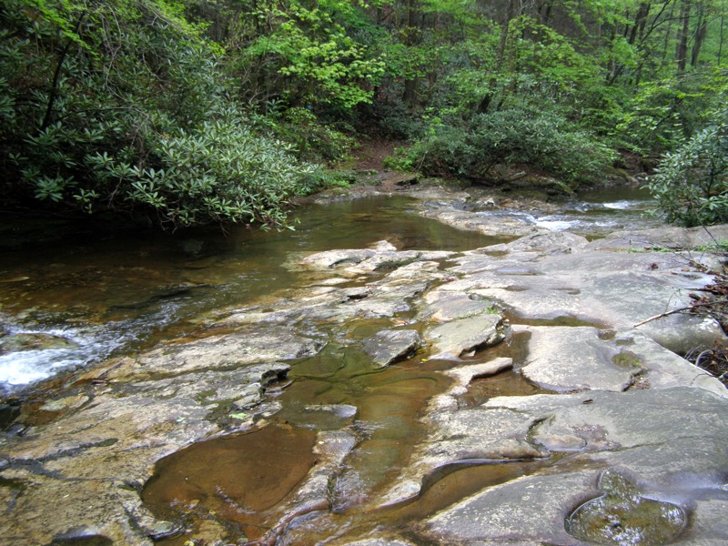
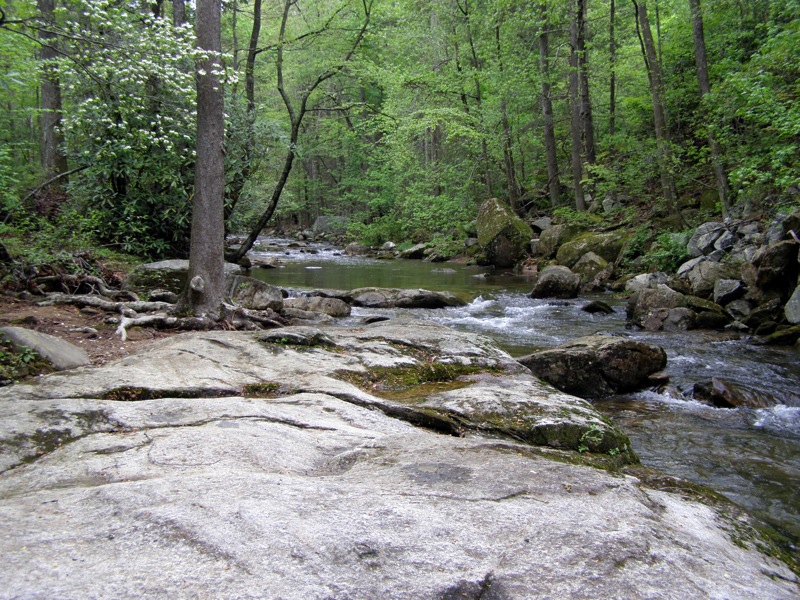
Mile 0.8 – The trail crosses an elaborate wood bridge at the base of Jacob Fork River Gorge. Directly beside the bridge are enormous boulders with the river seemingly gushing through every nook and cranny. This is an impressive site and you may think this is the waterfall, but look high above and you’ll see High Shoals Falls in the distance. The gorge is littered with boulders all the way to the waterfall, a result of erosion and floods for thousands of years.
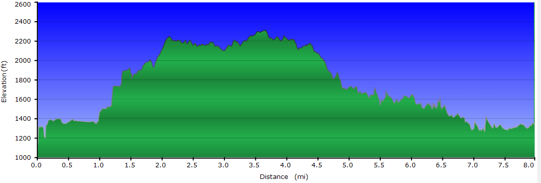
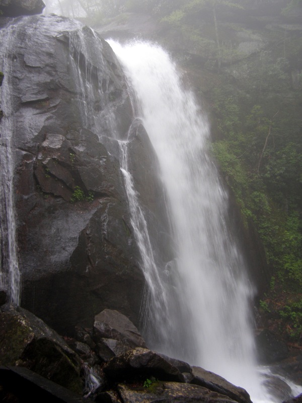
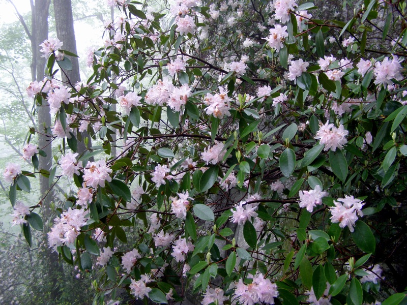
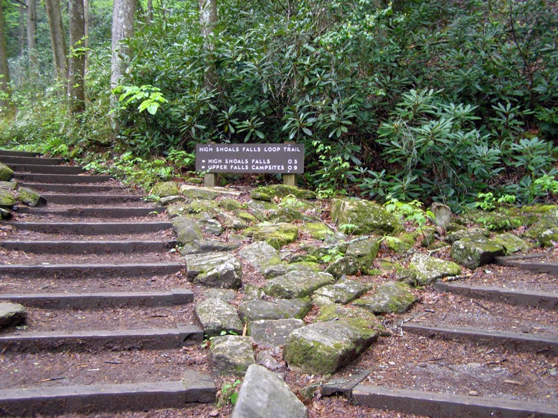
Mile 1.0 – Large viewing platform at the base of High Shoals Falls. Jacob Fork River plunges 50 feet over a beautiful, mossy cliff into a large pool before tumbling hundreds of feet over countless boulders through the gorge. This is the most popular attraction in the park and it is arguably one of the finest waterfalls in North Carolina. Continue climbing an impressive staircase between a tall cliff and the waterfall. During Spring this path is lined with blooming azaleas.
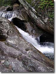
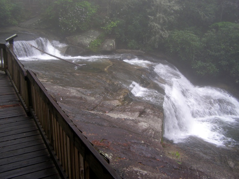
Mile 1.2 – The boardwalk continues beside the upper drop of High Shoals Falls, a river-wide shelf drop. From this spot you can look across the valley towards Chestnut Knob. Cross a wood bridge over the river.
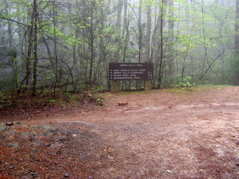
Mile 1.5 – The Upper Falls Trail (white square blaze) joins from the left. Upper Falls Trail campsites are located 0.1-mi down the trail. This trail is mixed-use with mountain bikers and horses and is a well-maintained forest road.
Mile 1.7 – Continue left on the Upper Falls Trail (white square blaze). The High Shoals Falls Loop Trail(blue circle blaze) turns right heading towards the parking area. Begin a steep climb up the ridge.
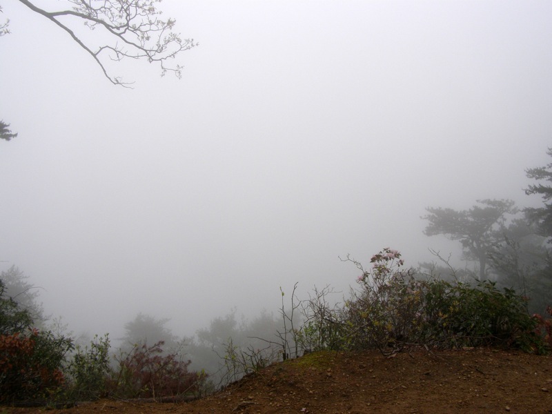
Mile 2.1 – On the left side of the trail is an open view south of the Jacob Fork River basin.
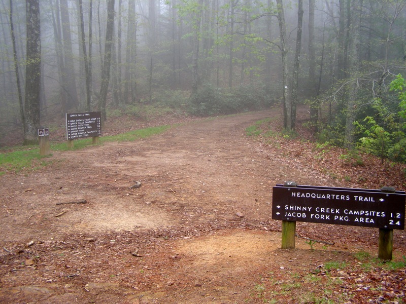
Mile 2.6 – Junction with the Headquarters Trail(orange hexagon blaze) on the right. Turn right here to shorten the hike or continue straight on the Upper Falls Trail.
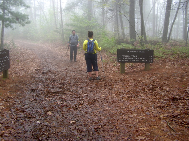
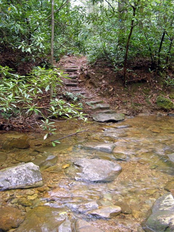
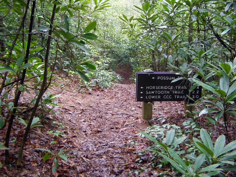
Mile 5.4 – Rock hop over Shinny Creek, which is potentially wet in high water. Immediately after the crossing the Possum Trail(red square blaze) comes in from the left.
Mile 5.6 – Second rock hop over Shinny Creek. You will likely get wet in above average water flow since the bedrocks are mostly flat.
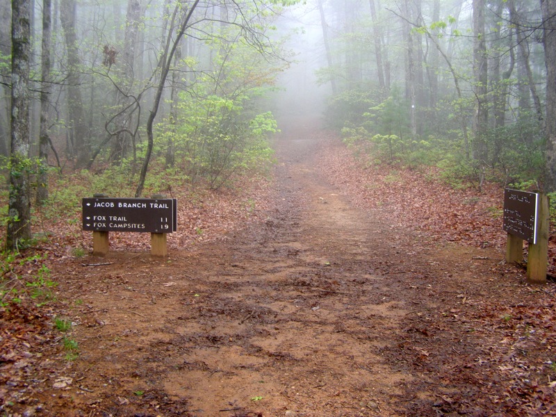
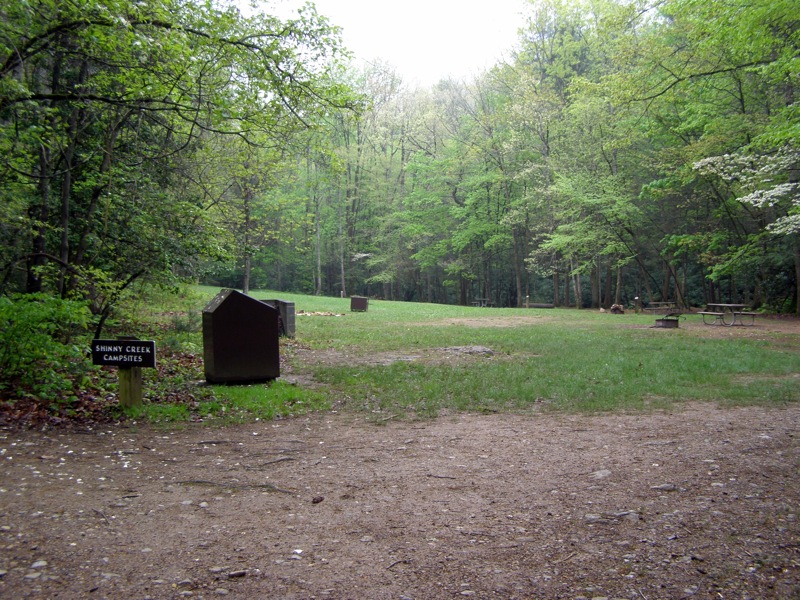
Mile 5.8 – Shinny Creek Trail ends at the Headquarters Trail beside the sprawling Shinny Creek campsites. Turn left onto the Headquarters Trail (orange hexagon blaze).
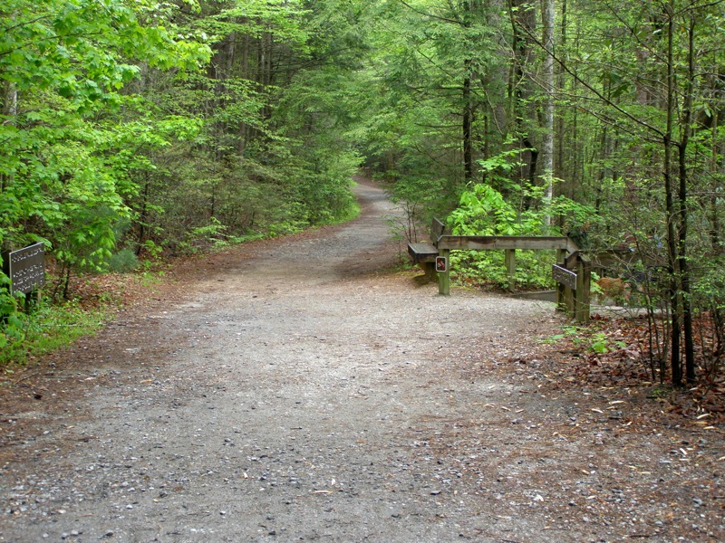
Mile 7.6 – Turn around before the trail crosses a bridge over the river to the Cicero Branch parking area.
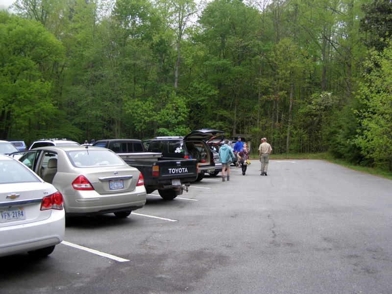
Mile 8.0 – Hike ends at the Jacob Fork parking area.
Late April
High Shoals Falls Hike Comments
Archived Comments
By:Christopher Boyce
Rating:
Date of Hike: Saturday, January 9, 2016
After driving past this state park for years on our way to the big mountains in the western part of the state, my wife and I were finally drawn to this park for the South Mountains Half Marathon Trail Race. It's hard to convey in words how this place differs from the many other natural gems in the southern Appalachians, but pristine, primordial, and lush are a few that come to mind. None of the mountains in this isolated range exceeds 3000 feet and most are well less than that, but what they lack in height they more than make up for in their varied topography, steepness, and unusually rich ecology. Their lower slopes and stream valleys are thick with laurel, rhododendron, and hemlock.. Cascading streams are plentiful, the center piece of which is the High Shoals Falls that we ascended soon into the race. The streams themselves flow with crystal clear water, some of the cleanest I've seen outside places like the Great Smokies.
All of the trails were well marked. Though we were looking out for temporary course flagging, the trail marking system helped out. The trails down along the streams were rather technical with all the rocks. That said, these trails became more earthen and much easier to navigate as they ascended the mountainsides. This was especially so with the double track along the ridge lines. The mountains were socked in clouds and fog the day we were there, but we enjoyed ourselves just the same. If anything, it added to the character of this park's richness.
Could go on, but anyone reading this just needs to check it out for themselves!


