|
 By Trail Contributor: Zach Robbins (Contact Zach) By Trail Contributor: Zach Robbins (Contact Zach)
Hanging Rock State Park is a premier destination in the Piedmont due to its abundance of views and waterfalls. While many dedicated hikers flock to the high peaks in the park for an exhilarating 10-mile loop, the hikes to the waterfalls offer a more casual, family-friendly experience due to the easy, short access trails.
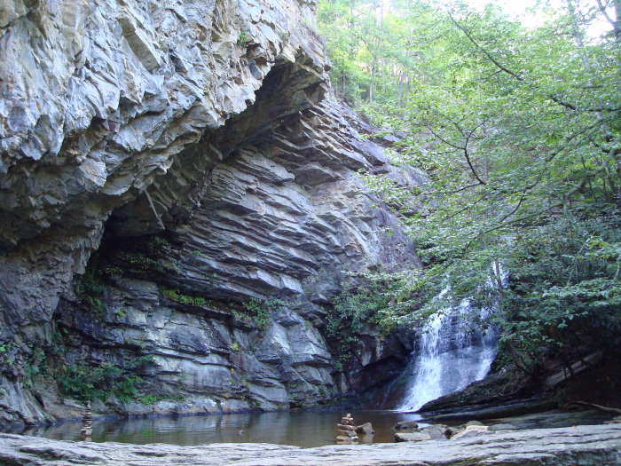
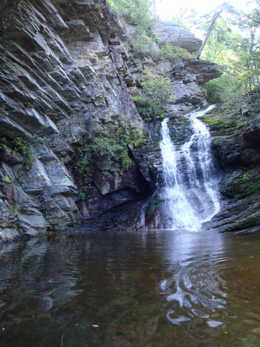
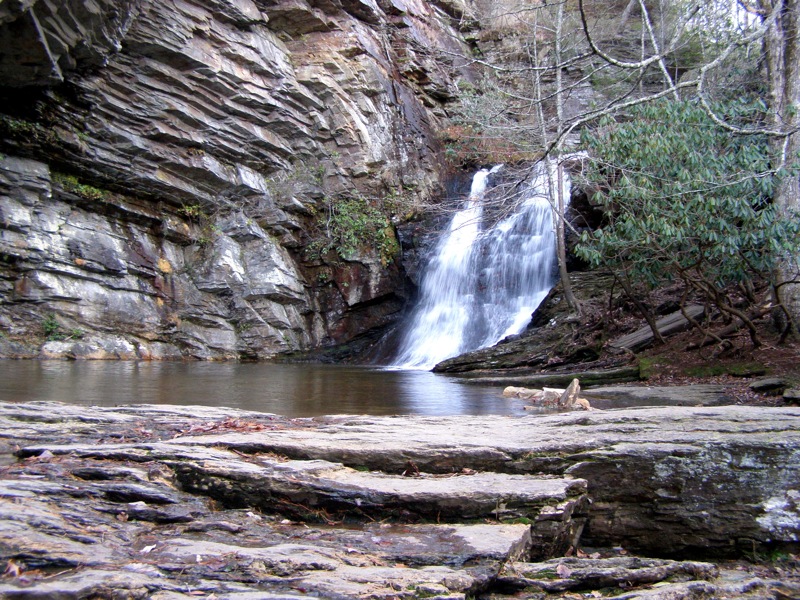
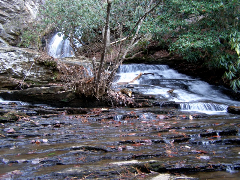
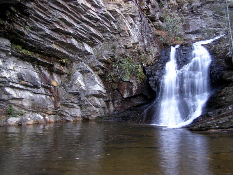
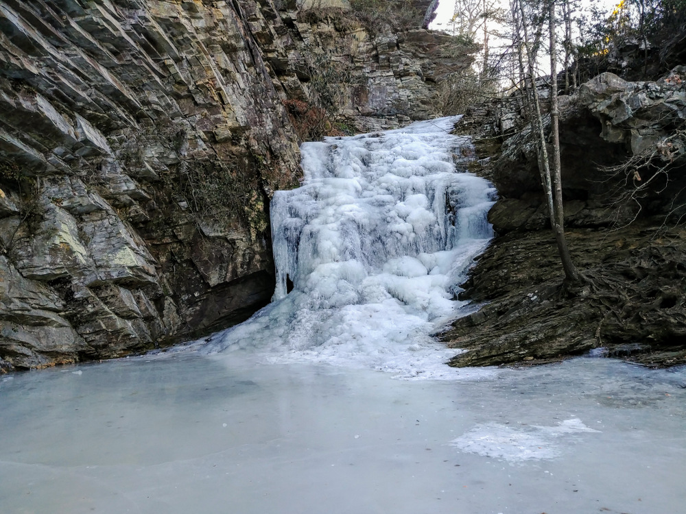
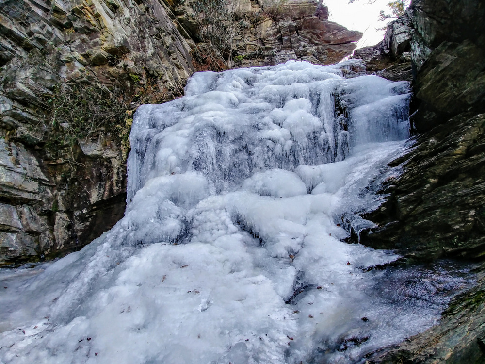
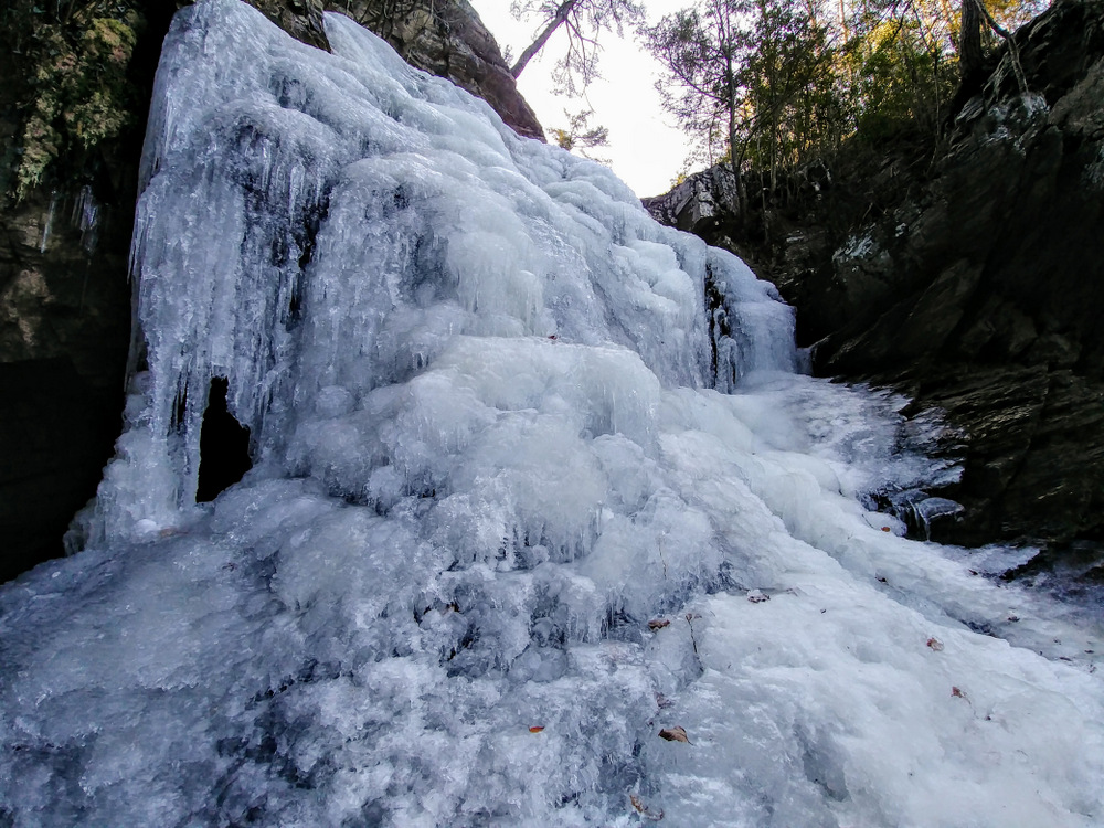
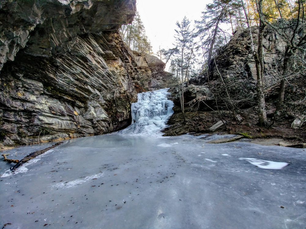
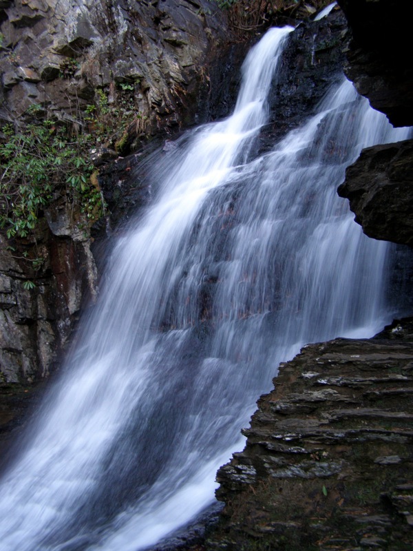
Lower Cascade Falls is by far the most spectacular waterfall in the state park. In contrast to the other 4 waterfalls in the state park, Lower Cascade Falls has the highest water flow and is beautiful at any time of the year. Since the waterfall is located well below the main section of the park where Cascade Creek originates, the stream has picked up a lot of water and momentum on its course to the Dan River.
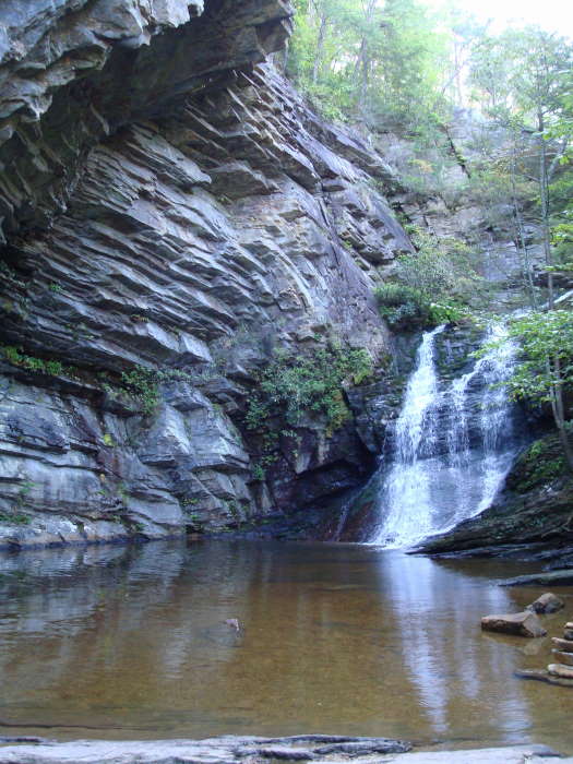
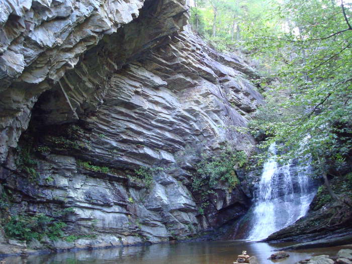
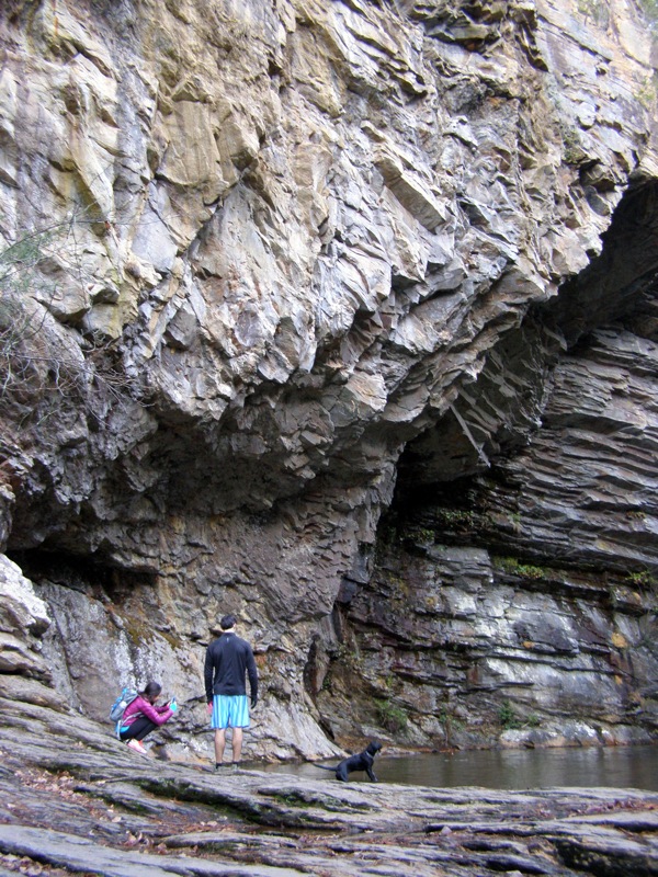
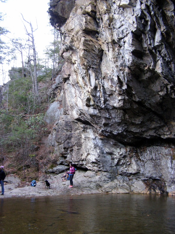
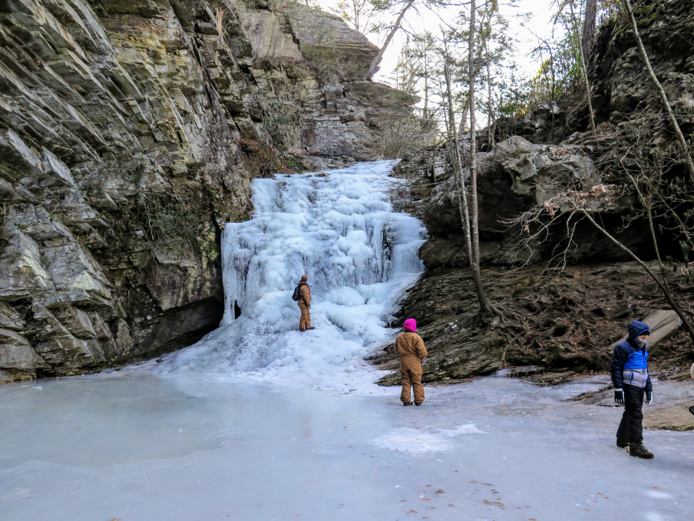
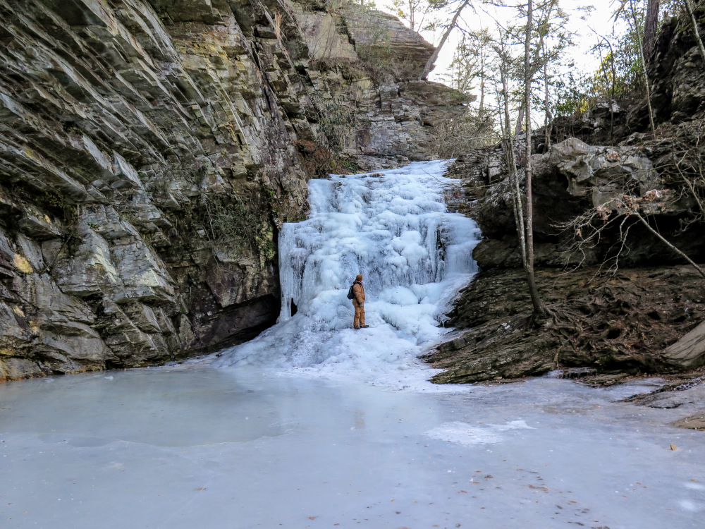
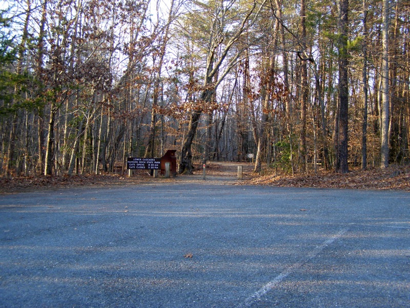
The waterfall isn’t the only attraction as an enormous overhanging cliff curves above the waterfall creating a natural amphitheater. While throngs of people visit Upper Cascade Falls and Window Falls because of their convenient location beside the visitor center, you’ll be surprised at how few people hike to this waterfall. To visit, turn right on Moores Spring Rd. directly before Hanging Rock Park Rd. crosses the park boundary/gate. In 0.3-mi turn left onto Hall Rd. and the large parking area for Lower Cascades Trail will be on your right in 0.6-mi.
- Mile 0.0 – Hike begins at the Lower Cascades Trail (no blaze) parking lot. The trail is a mostly flat walk on a wide, gravel path.
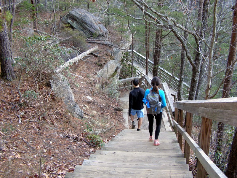
- Mile 0.3 – Begin a long descent on an elaborate wooden staircase towards the base of the waterfall.
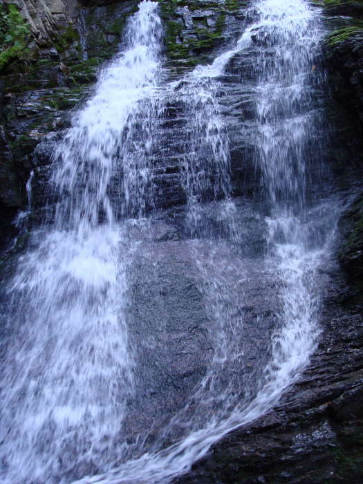
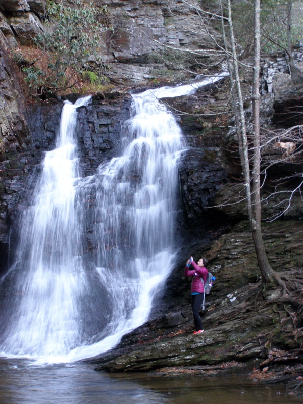
- Mile 0.4 – Reach the base of Lower Cascade Falls. The 35-foot waterfall on Cascade Creek flows below a large overhanging cliff creating an amphitheater around the waterfall. When water levels are average it is safe to rock hop across the creek and walk up to the base of the falls. The pool below the waterfall is a popular swimming hole.
- Mile 0.9 – Hike ends at the parking lot.
|


