|
| Length |
Difficulty |
Streams |
Views |
Solitude |
Camping |
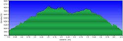
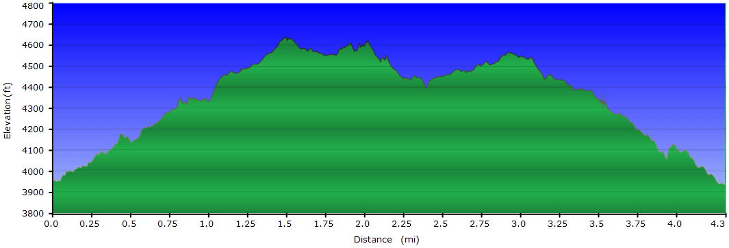
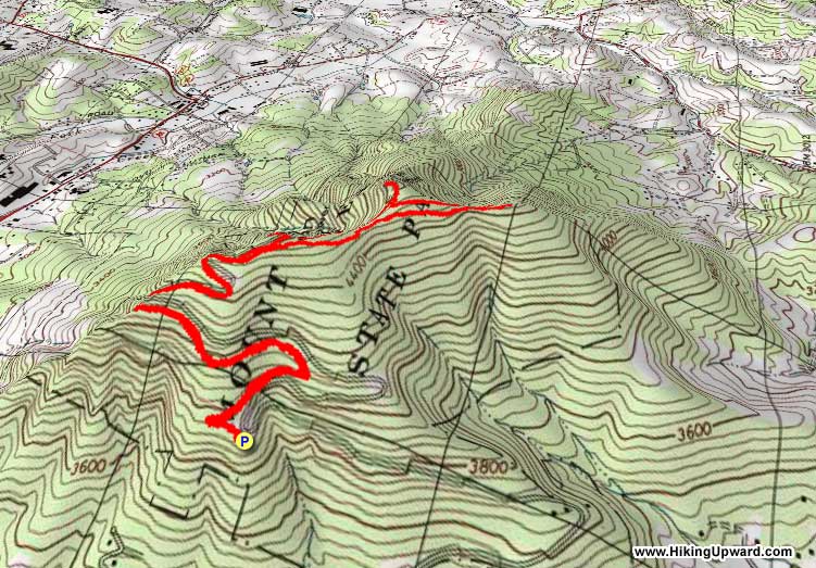
| 4.3 mls |
 |
N/A |
 |
|
N/A |
Hiking
Time:
Elev. Gain:
Links:
Resources: |
2 hours and 15 minutes with 30 minutes of breaks
1,416 ft
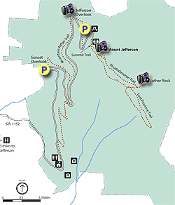
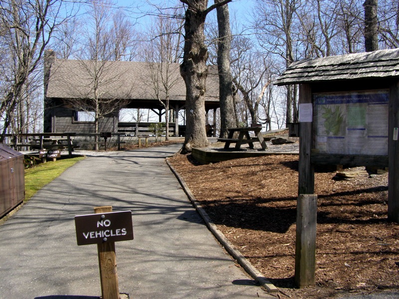
 Mount Jefferson State Natural Area Mount Jefferson State Natural Area
Topo Hike Trails Map (PDF)
Jefferson NC Weather Forecast
Garmin (GDB), Gaia/Trails App (GPX) (What's
this?)
3D View of Route |
 By Trail Contributor: Zach Robbins (Contact Zach) By Trail Contributor: Zach Robbins (Contact Zach)
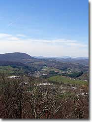
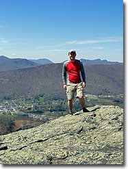
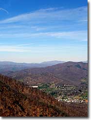
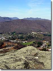
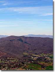
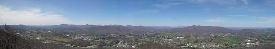
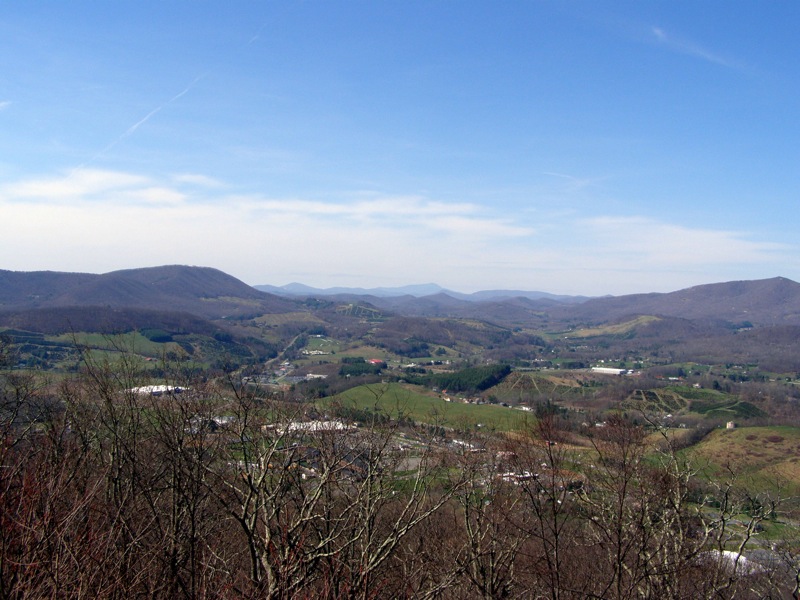
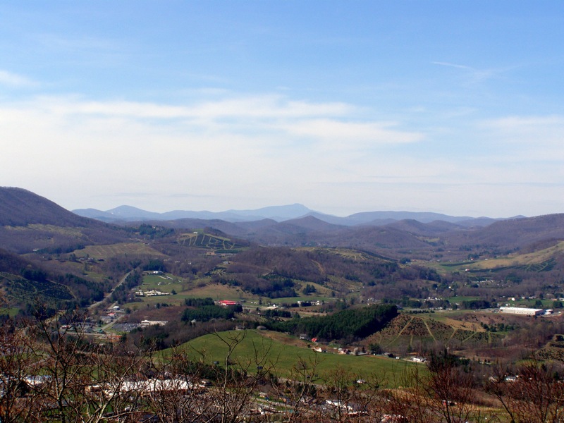
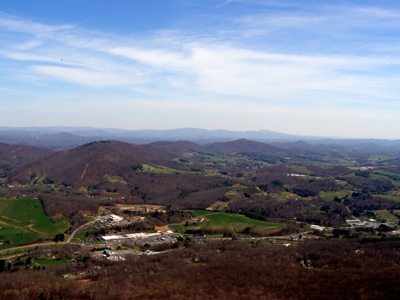
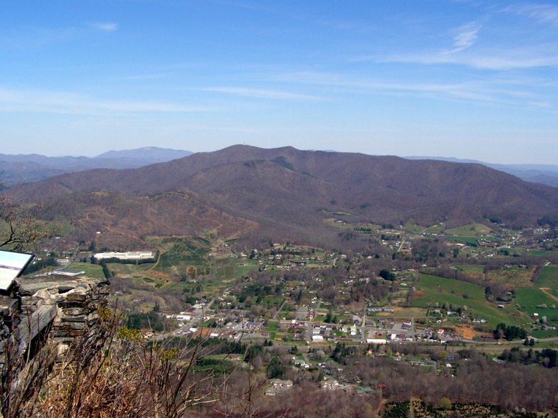
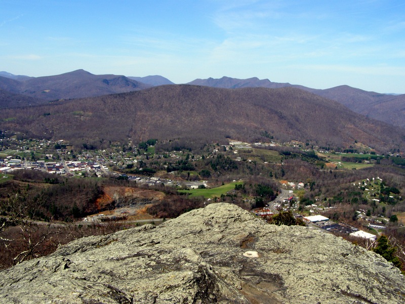
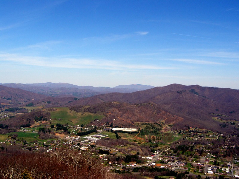
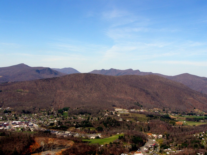
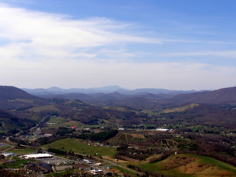
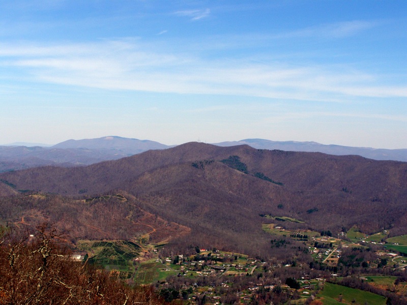
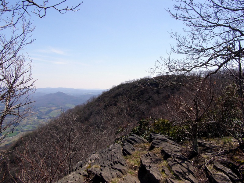
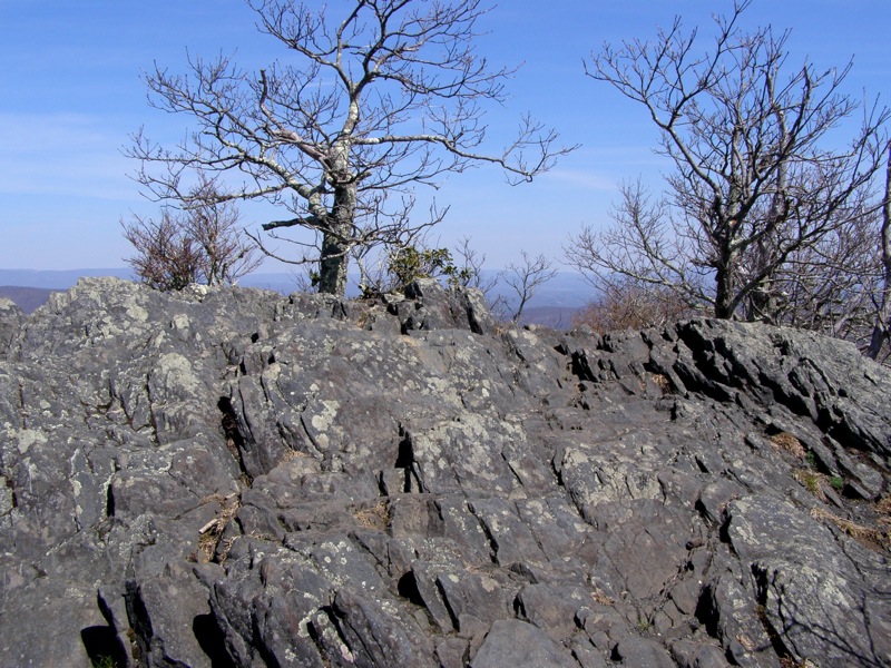
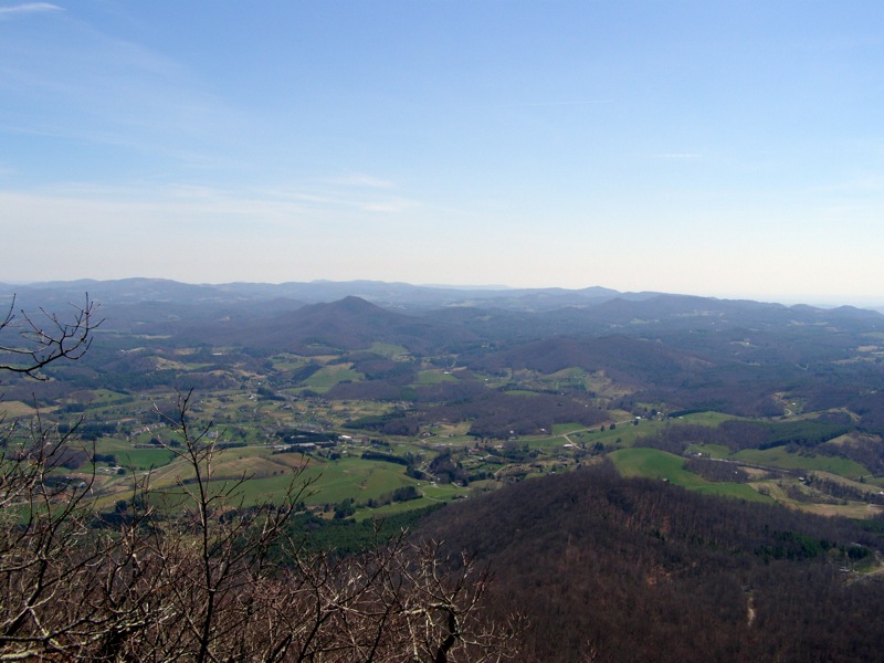
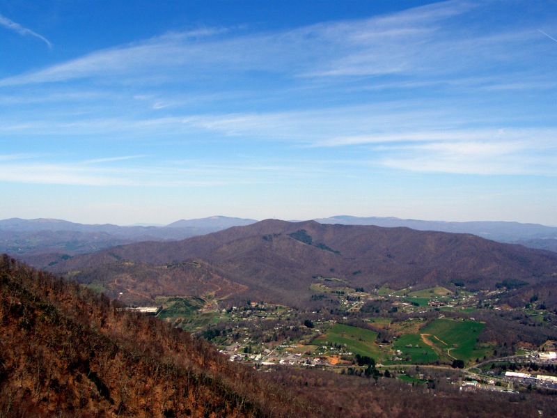
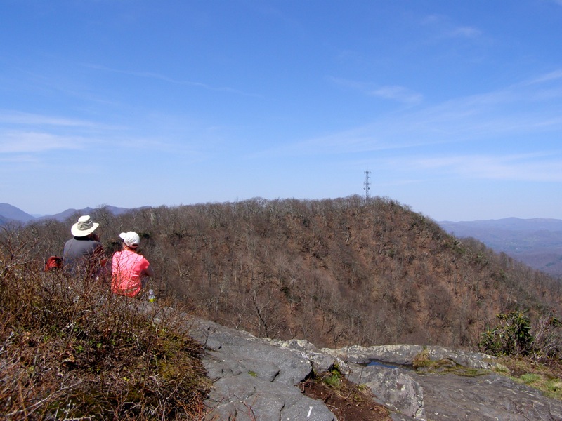
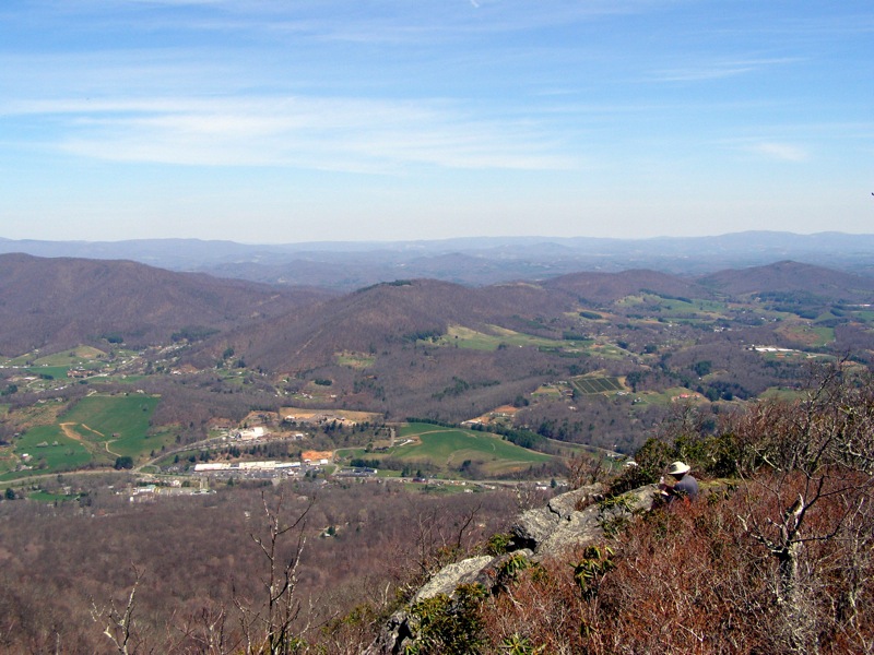
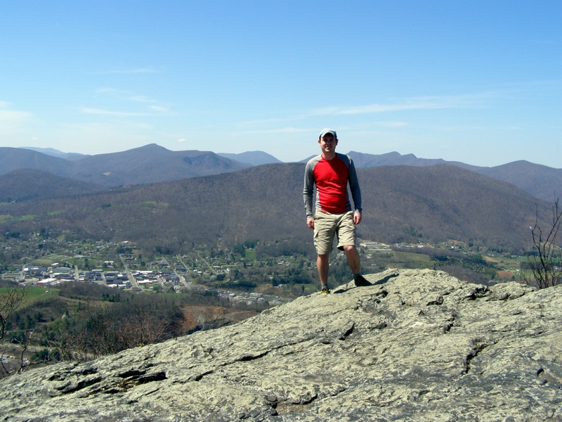
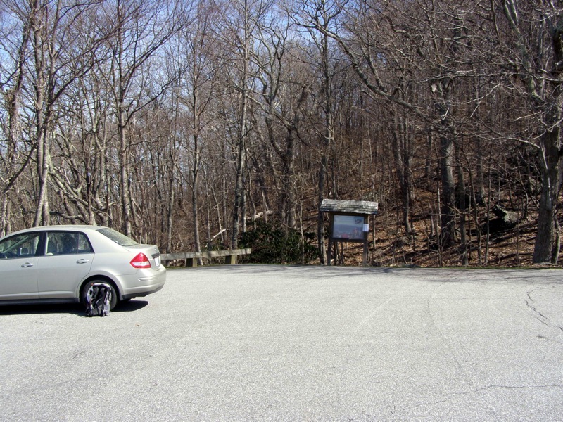
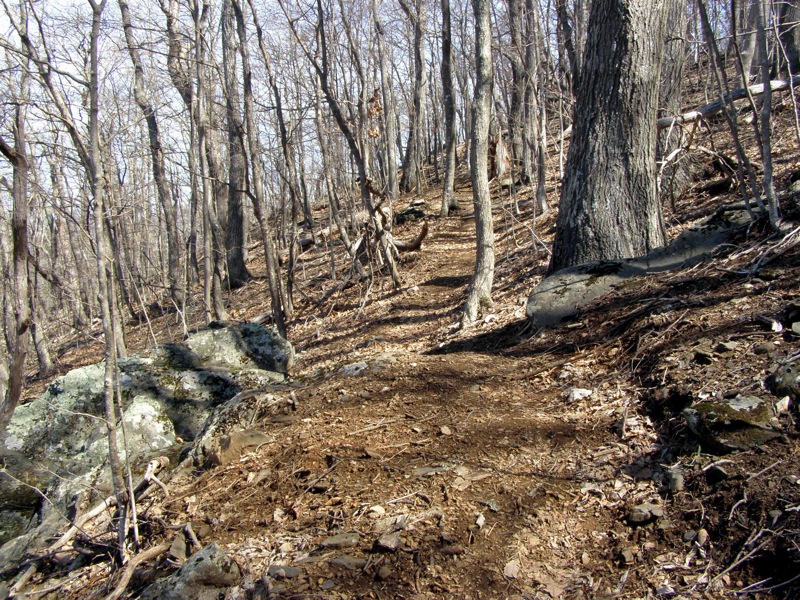
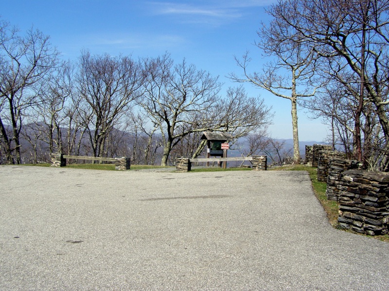
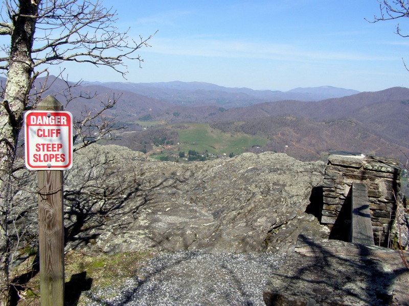
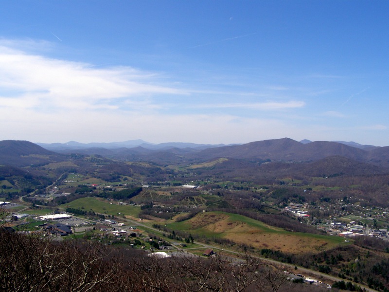
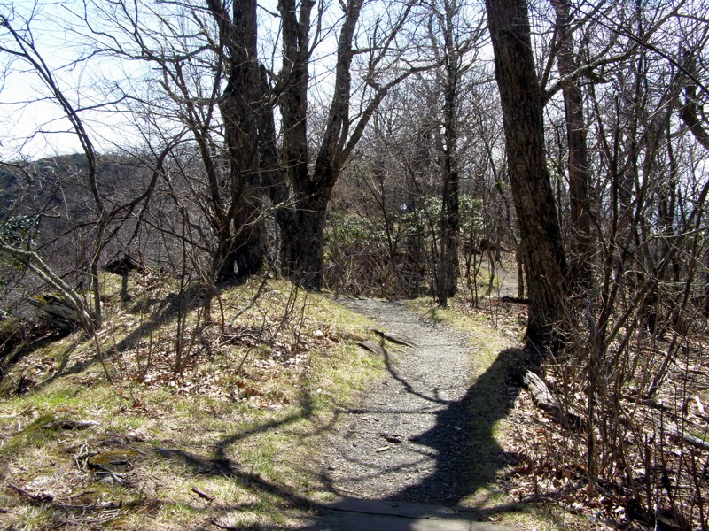
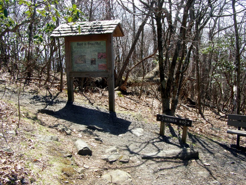
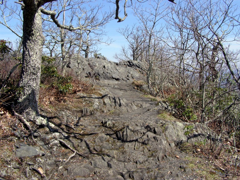
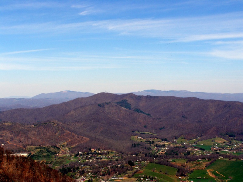
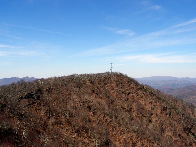
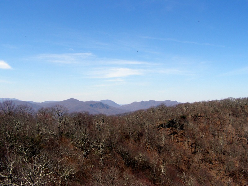
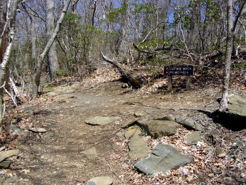
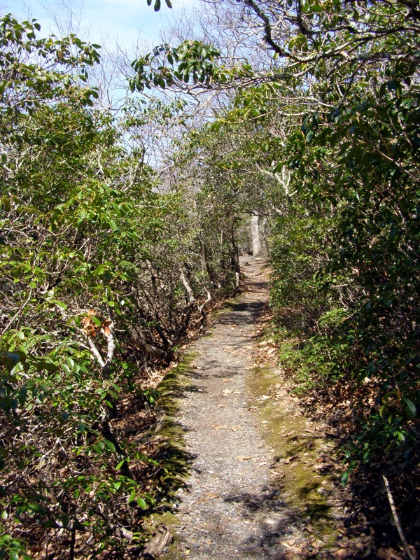
Mt. Jefferson looms more than 1,000 feet over the small towns of Jefferson and West Jefferson in the South Fork New River Valley. The state natural area (and National Natural Landmark) only covers the top half of the mountain but boasts outstanding views and impressive ecological diversity. Until 2015, the only hiking available in the park was a short 2-mile loop at the summit.
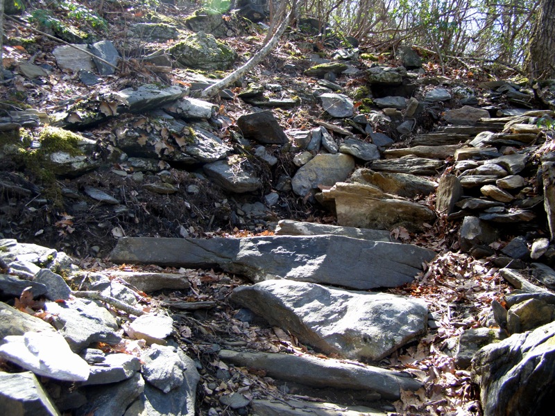
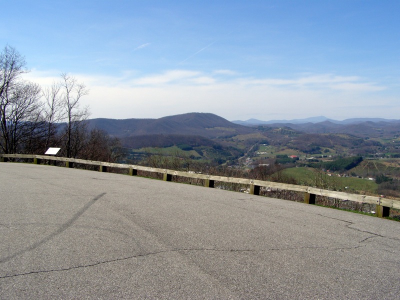
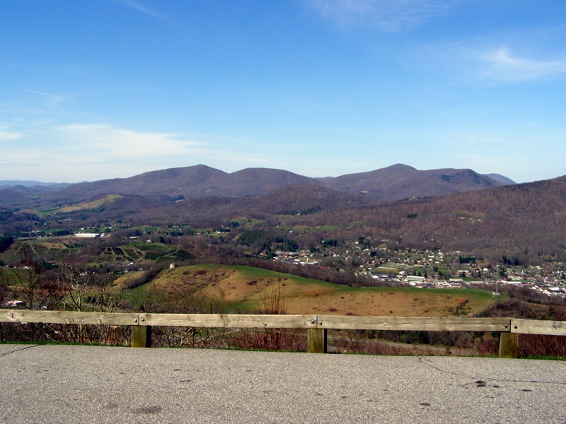
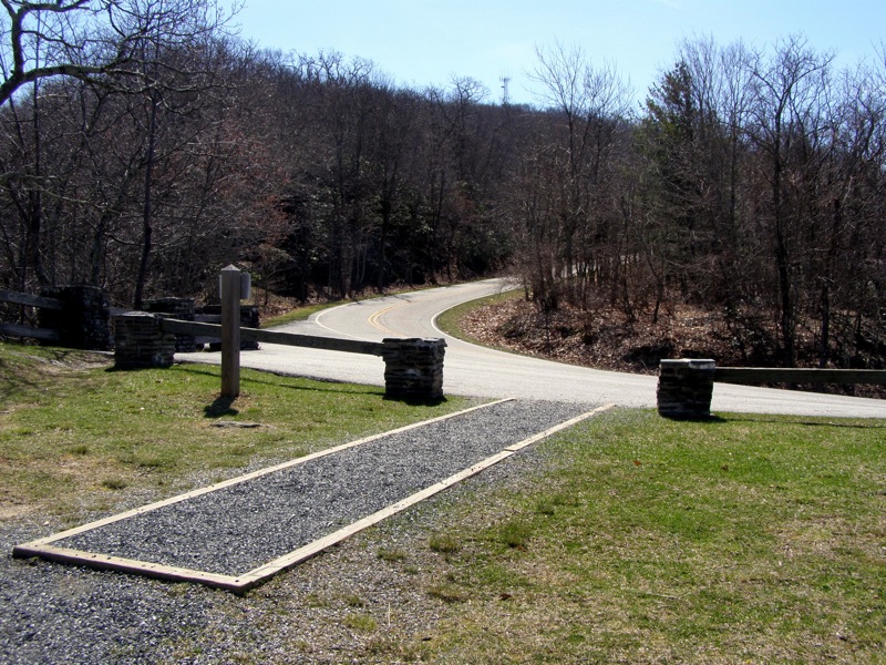
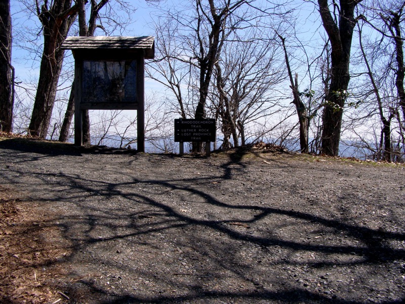
Recently the Mountain Ridge Trail was constructed, climbing from the park office past two wonderful overlooks on its way to the summit loop. This trail gives you the option to extend an otherwise short and easy hike, attaining the overlooks via foot rather than vehicle. Sitting at the northeast edge of the Amphibolite Range, the Mt. Jefferson State Natural Area has many great views of the region, most notably the craggy Three Top Mountain, Bluff Mountain, Grandfather Mountain, and Whitetop Mountain in Virginia. If you decide to bypass the longer hike for the short summit loop be sure to stop at the Jefferson Overlook for the best view in the park.
|

