|
 By Trail Contributor: Zach Robbins (Contact Zach) By Trail Contributor: Zach Robbins (Contact Zach)
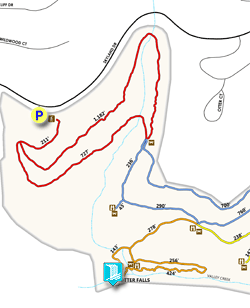
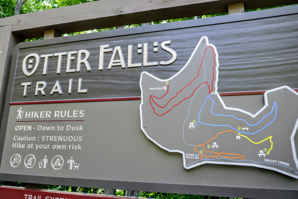
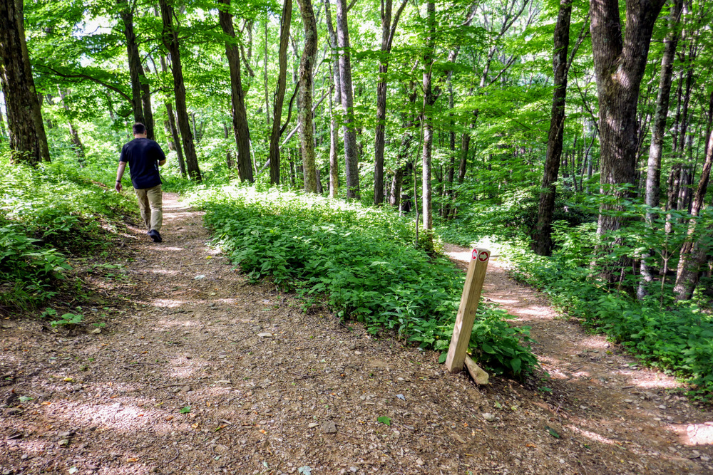
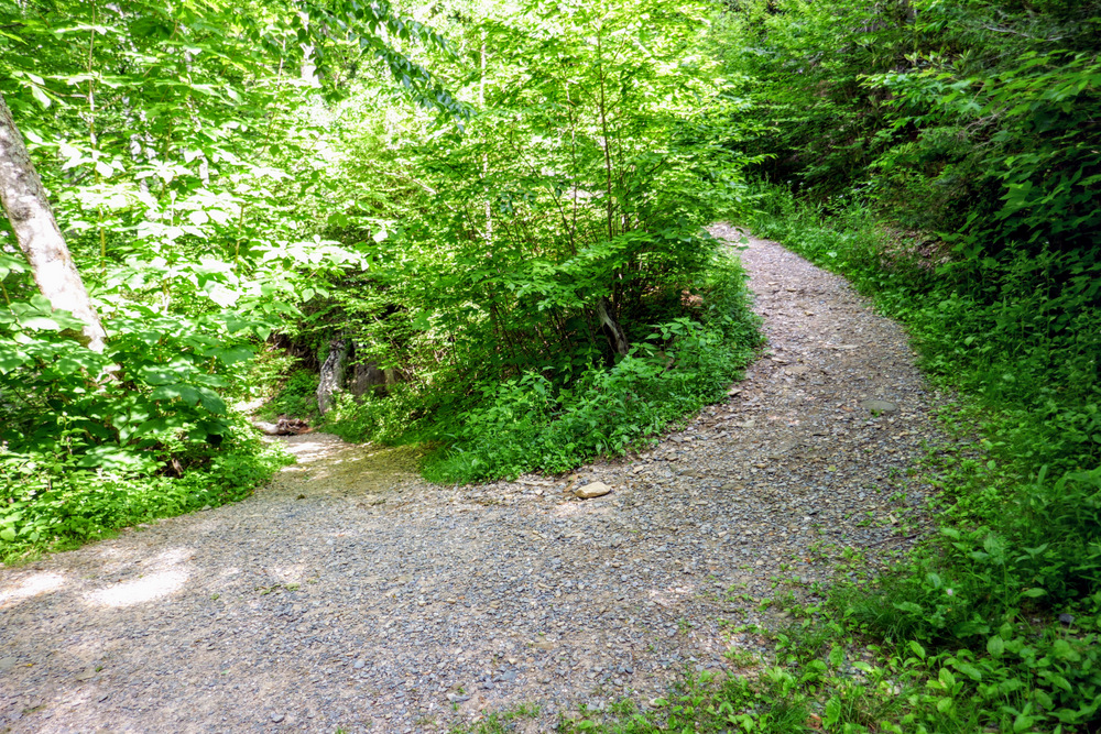
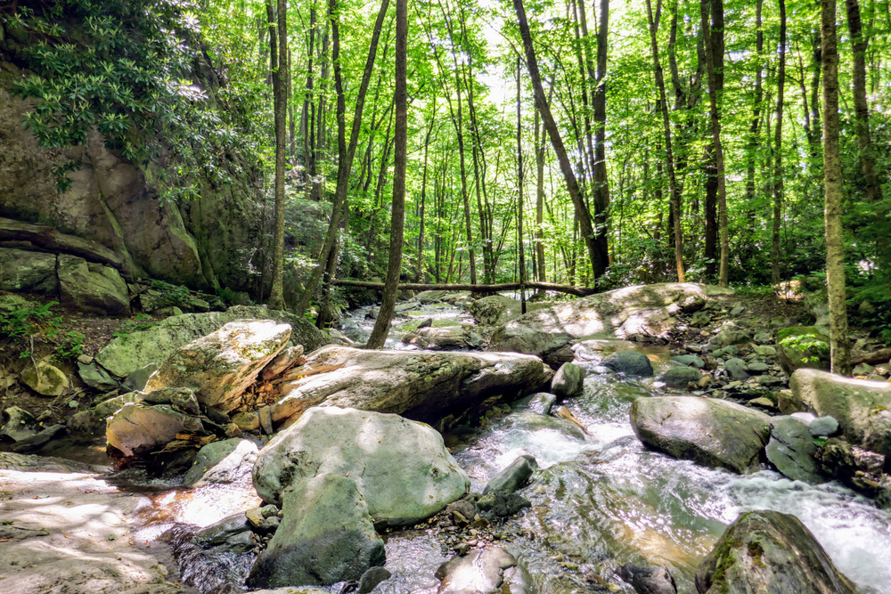
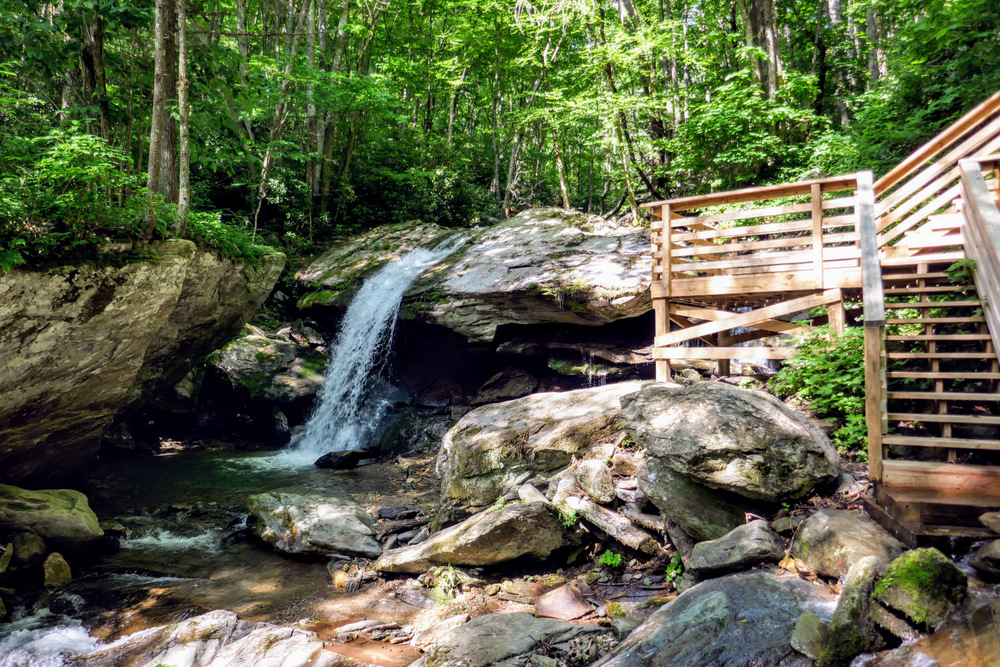
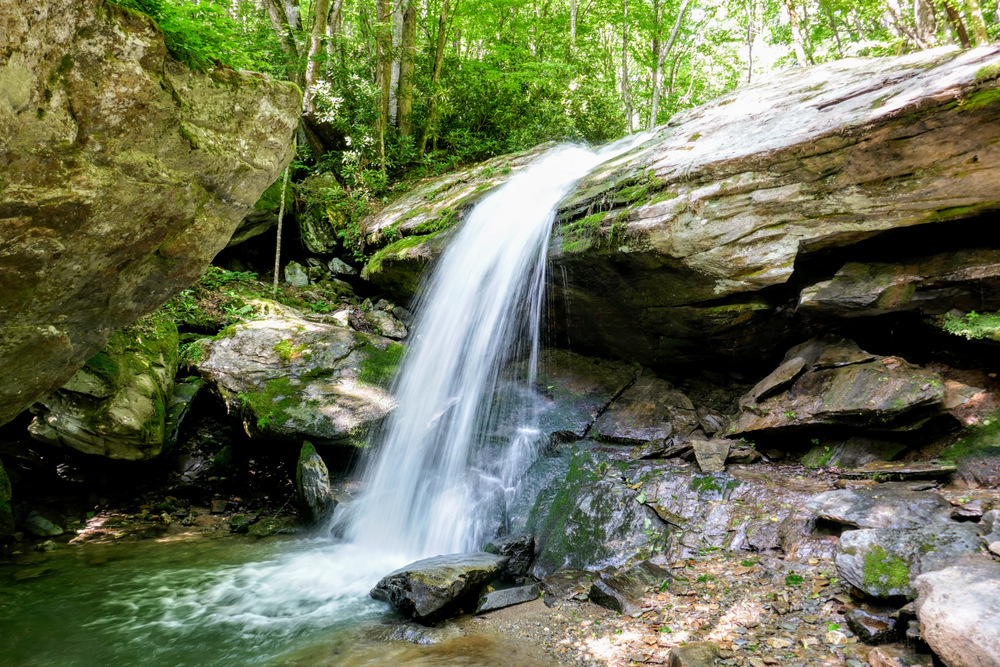
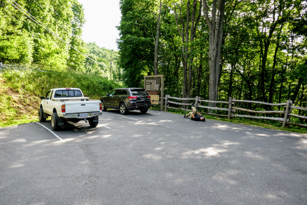
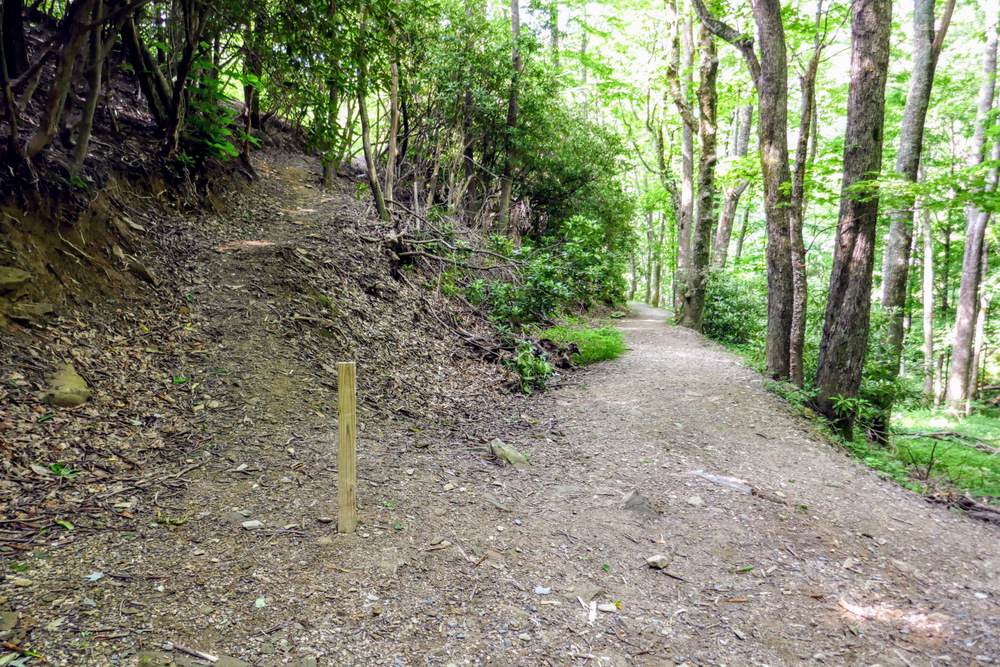
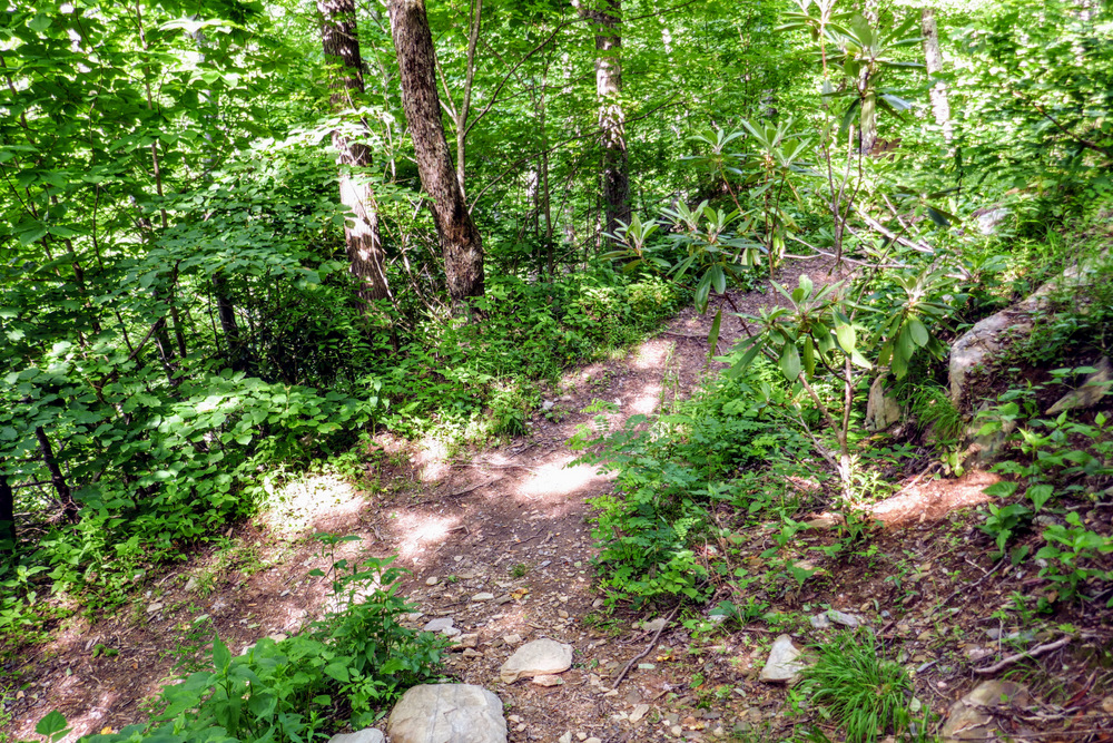
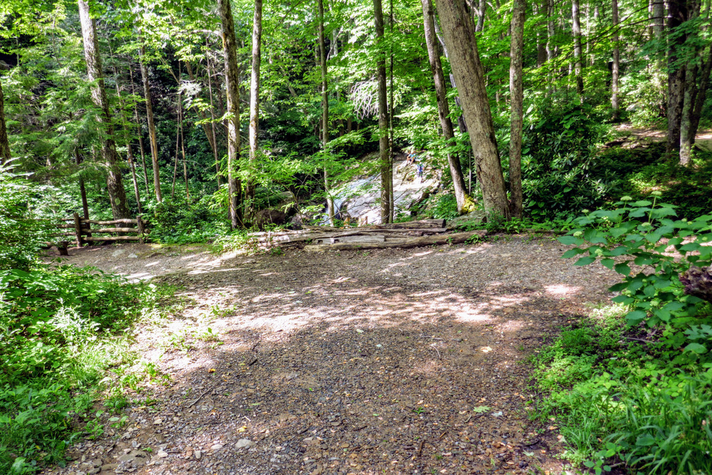
Otter Falls is a nice waterfall and easily accessible via a short hike in the resort town of Seven Devils, NC. The small recreational park features 4 short trails dropping down into the Valley Creek watershed. The hike outlined here follows 3 of these trails forming a loop to Otter Falls, skipping the Yellow Trail which dead ends at a non-existent overlook. Located close to Boone, Grandfather Mountain, and Banner Elk, this is a great family hike or short stop while you are in the area.
|

