|
| Length |
Difficulty |
Streams |
Views |
Solitude |
Camping |
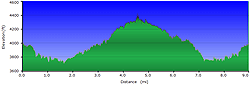
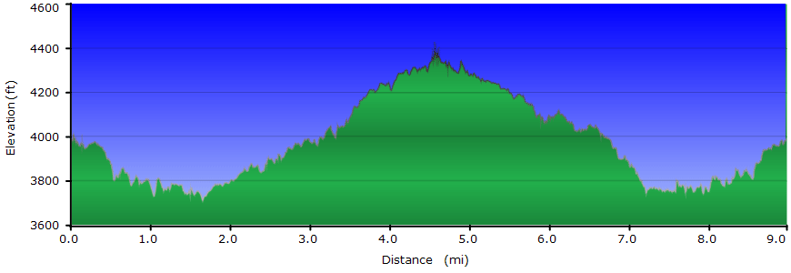
| 9.0 mls |
 |
 |
|
|
N/A |
Hiking
Time:
Elev. Gain:
Resources: |
4 hours and 30 minutes with 45 minutes of breaks
853 ft
 Topo Hike Trails Map (PDF) Topo Hike Trails Map (PDF)
Blowing Rock, NC Weather Forecast
Garmin (GDB), Gaia/Trails App (GPX) (What's
this?)
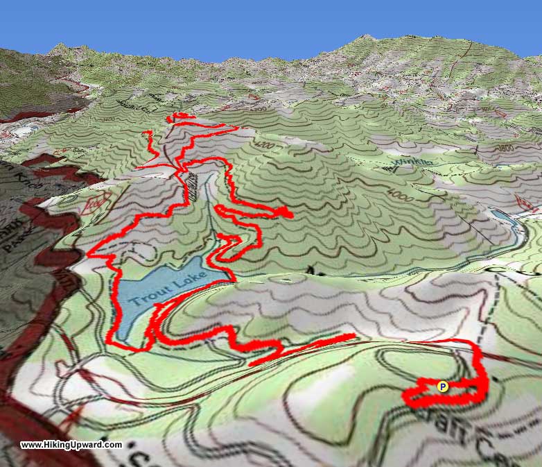
3D
View of Route |
 By Trail Contributor: Zach Robbins (Contact Zach) By Trail Contributor: Zach Robbins (Contact Zach)
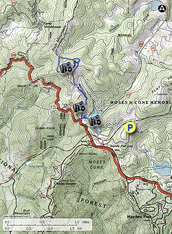
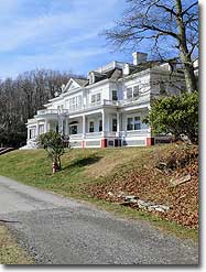
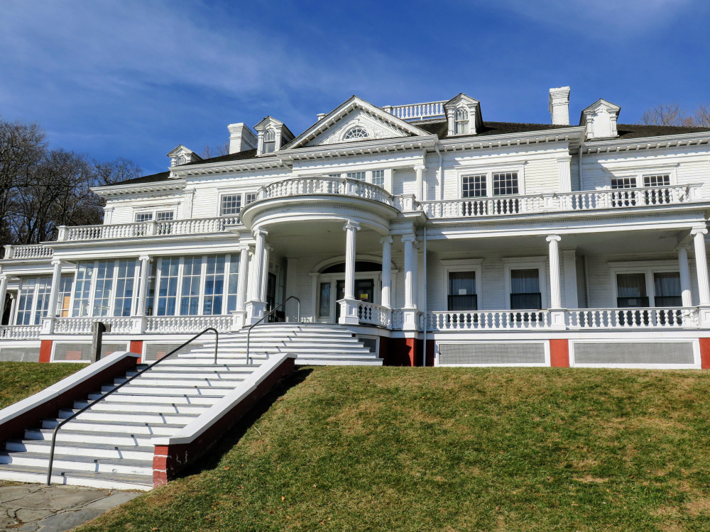
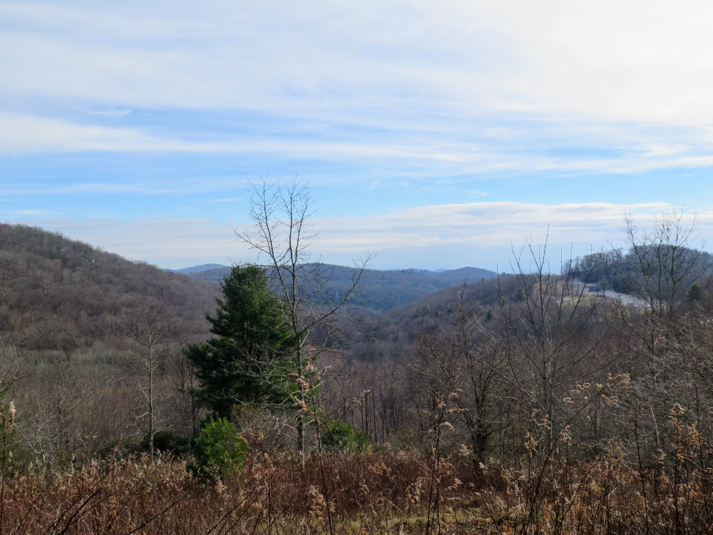
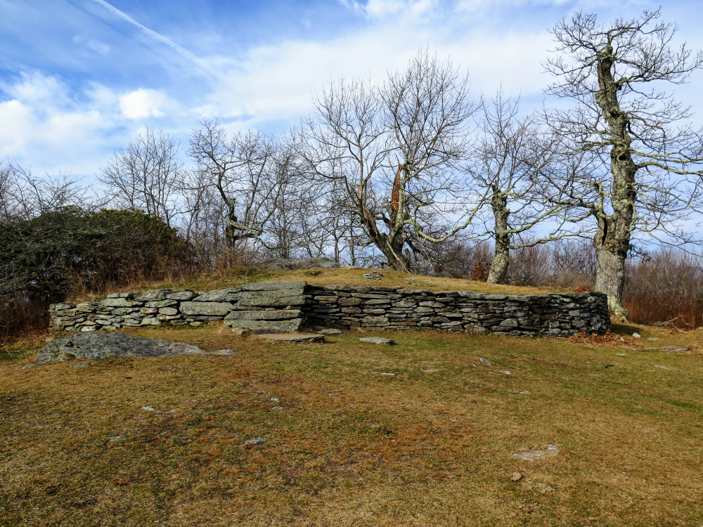
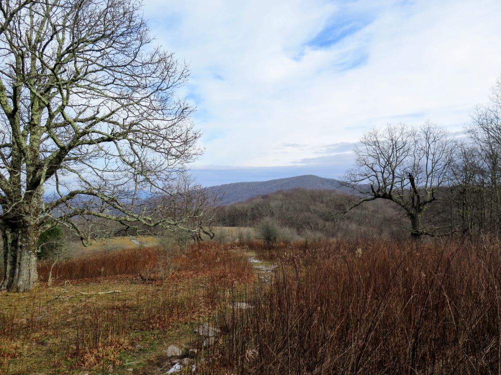
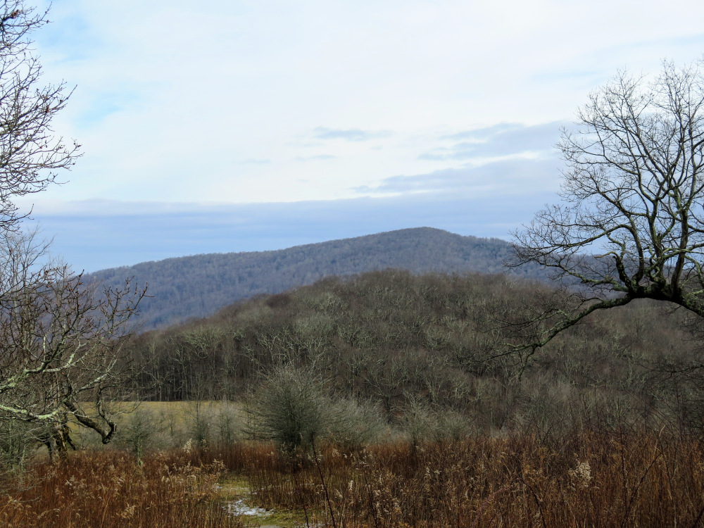
The hike to Rich Mountain is the quieter, longer alternative to the popular Flat Top Tower hike in Moses Cone Memorial Park. After enjoying the views of Bass Lake from Cone Manor, you’ll head west towards the less-visited corner of this beautiful park. First you’ll hike halfway around Trout Lake, the smaller of two lakes built by Moses Cone more than a century ago. The Rich Mountain Carriage Road then winds uphill around a meadow before splitting into a loop around the summit of Rich Mountain. Along this loop and the twisting trail to the summit you’ll get views of the lower elevations of the park, Flat Top Mountain, and Grandfather Mountain. Moses Cone was a huge fan of stonework, and it is obvious as you approach the highest point. On the way back you’ll loop around the other side of Trout Lake before returning to the parking lot. Rich Mountain is a peaceful leg stretcher through high elevation meadows and much easier than the mileage indicates.
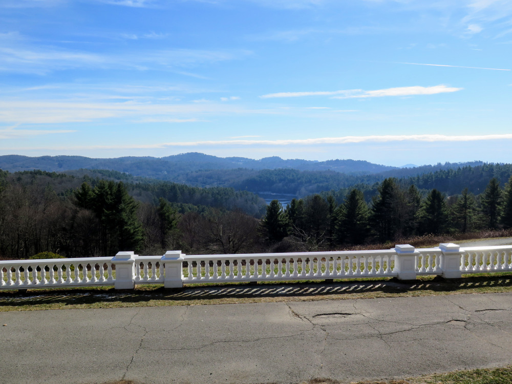
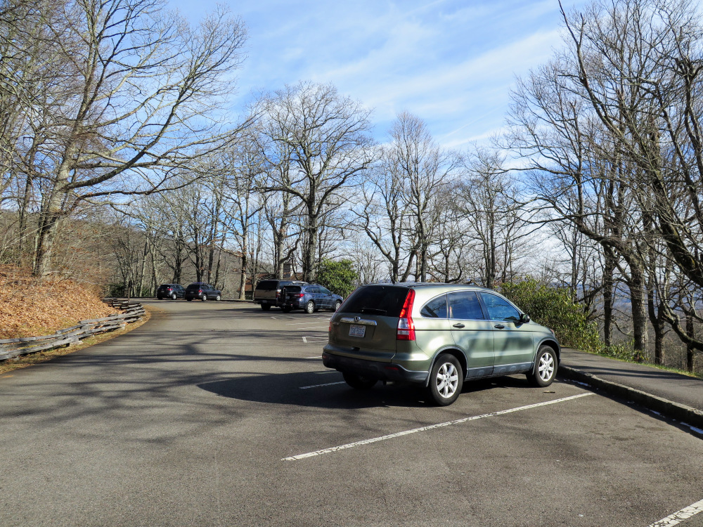
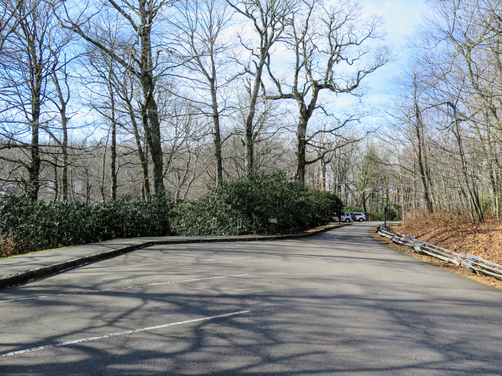
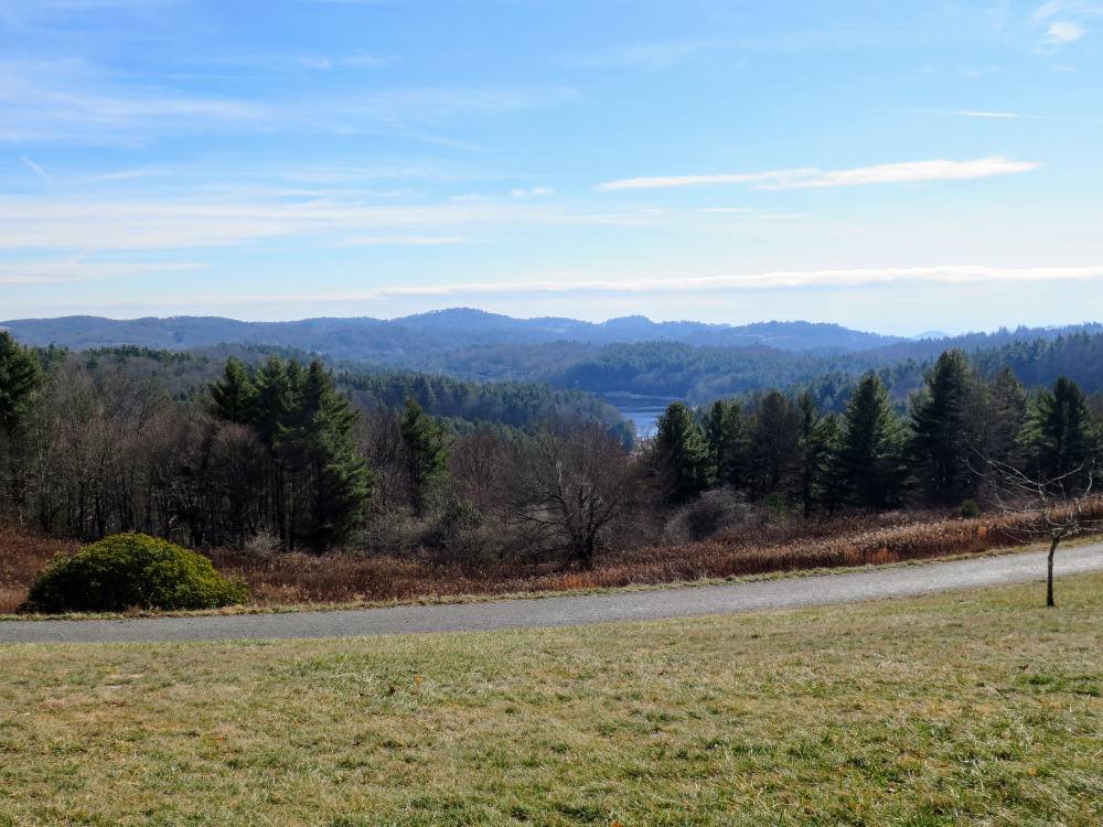
- Mile 0.0 – From the parking lot for Cone Manor follow the stairs down towards the house. If the craft center is open you can pick up a free trail map inside. Otherwise enjoy the view southeast of the lower elevations of the park, with Bass Lake the centerpiece glistening below. Facing the lake turn left heading north towards the bathrooms and carriage house on Flat Top Road. The Mountains-to-Sea Trail [440] (white blaze) also follows the carriage path.
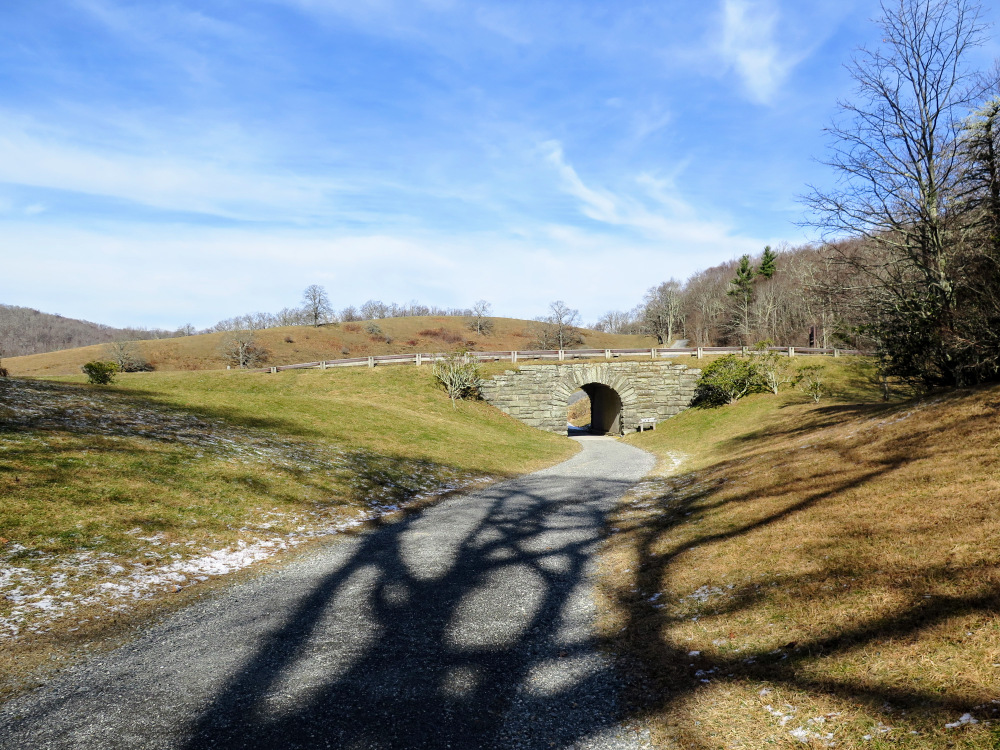
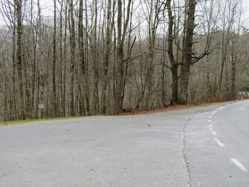
- Mile 0.3 – Flat Top Road goes through a tunnel under the Blue Ridge Parkway. On the other side is a T-junction with the Rich Mountain Carriage Road. Turn left following the Rich Mountain Carriage Rd and Mountains-to-Sea Trail (MST).
- Mile 1.2 – Go straight through a cross intersection with the unpaved Flannery Fork Road.
- Mile 1.4 – Y-junction with the Trout Lake Loop on the left, continue straight.
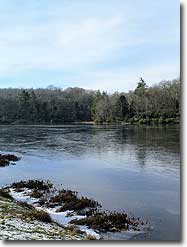
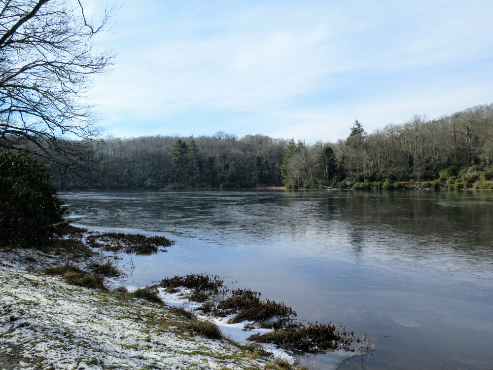
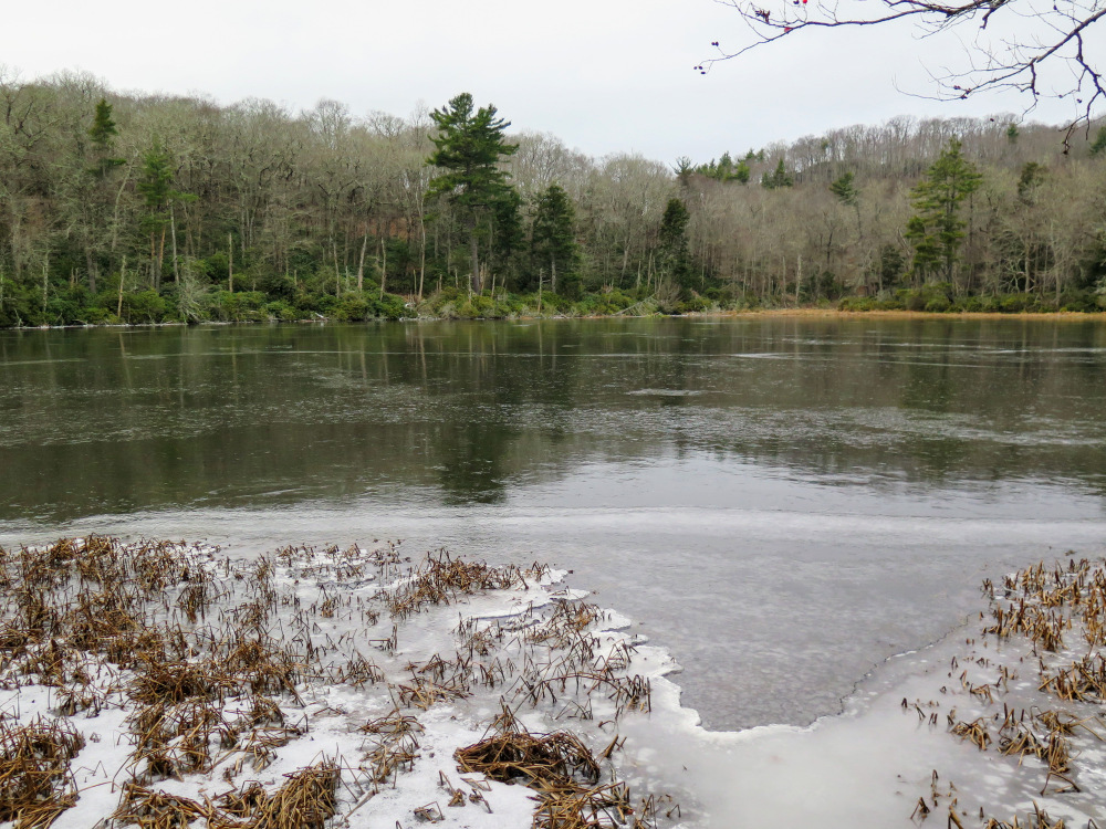
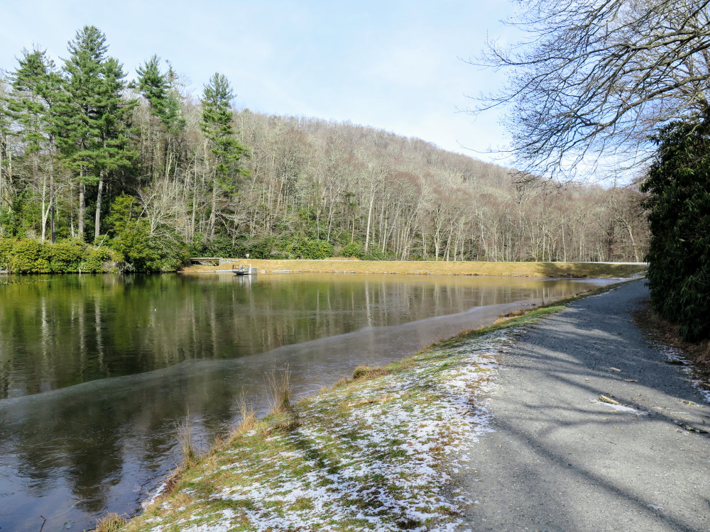
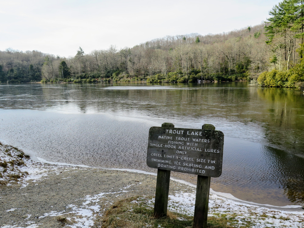
- Mile 1.6 – The trail crosses Trout Lake Dam. This small dam of Flannery Fork created Trout Lake.
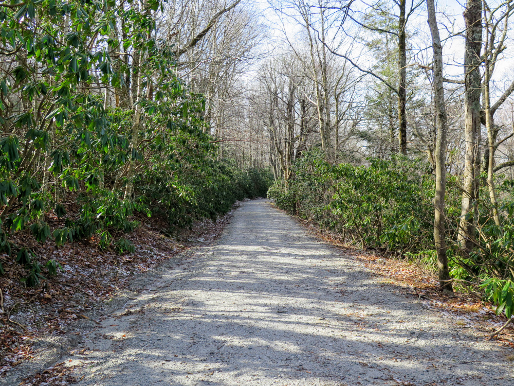
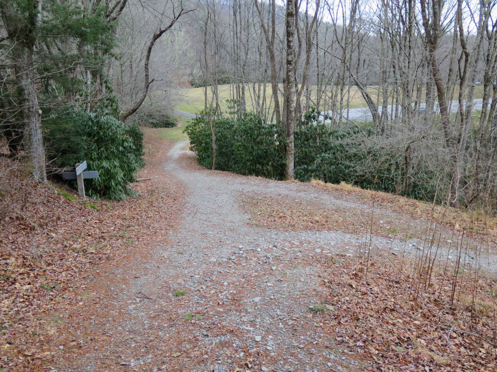
- Mile 1.8 – T-junction with the Trout Lake Loop in a cove beside a tributary that feeds Trout Lake. Turn right following the Rich Mountain Carriage Rd as it climbs through hardwood forests.
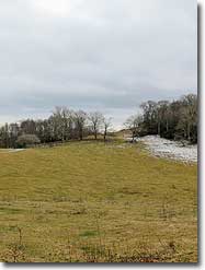
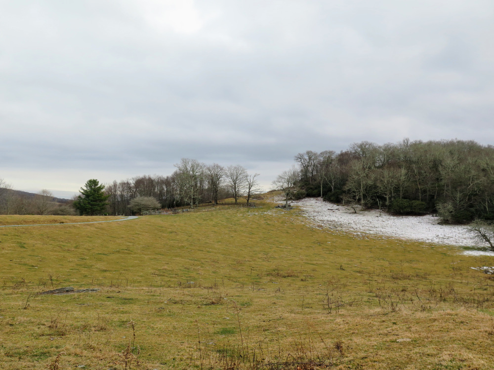
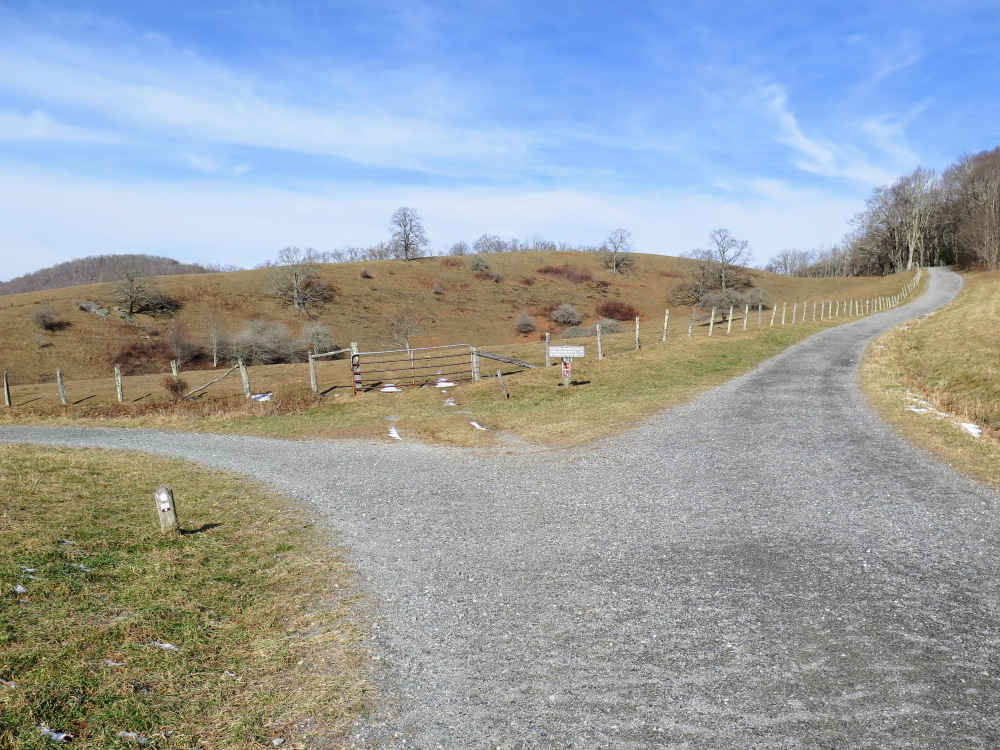
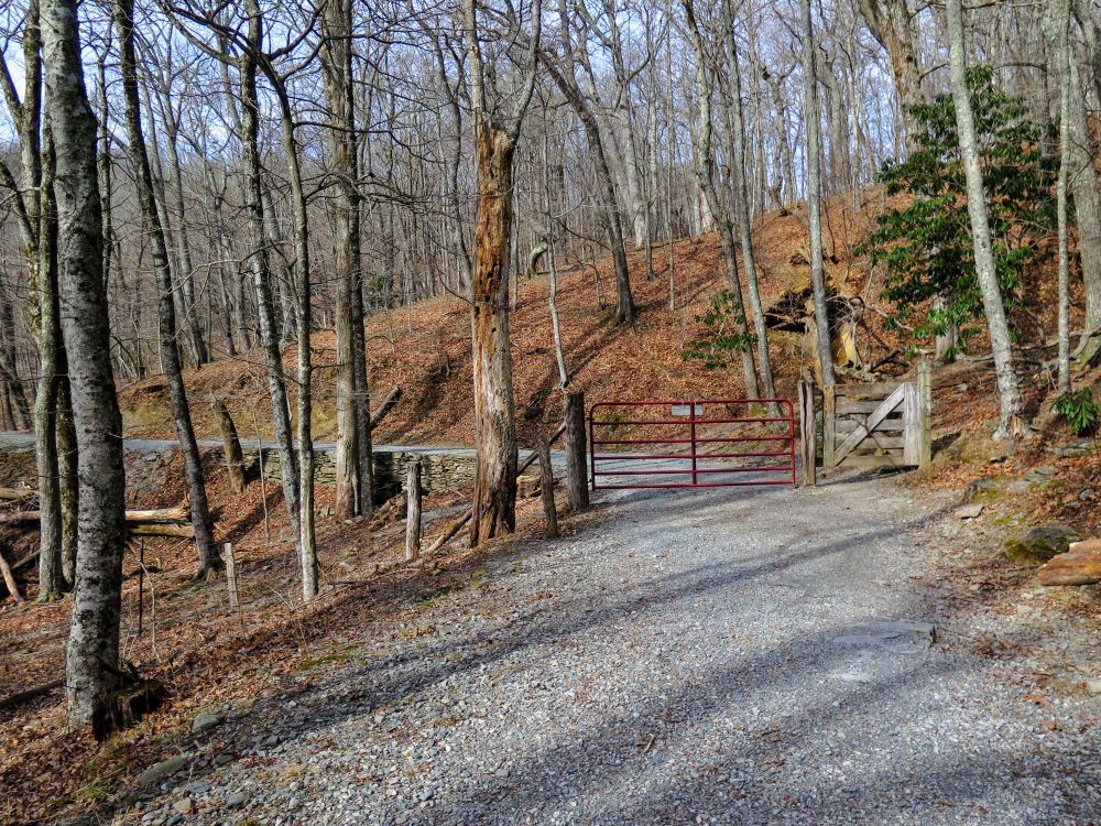
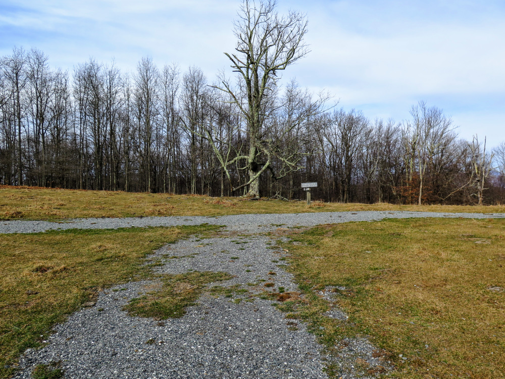
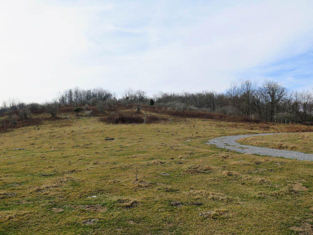
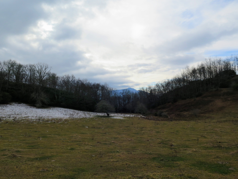
- Mile 3.0 – Pass through a gate designed to keep other animals out of this section of the park. Remember to leave the gate closed. The trail circles around a large meadow, passing over three small tributaries with impressive stone culverts.
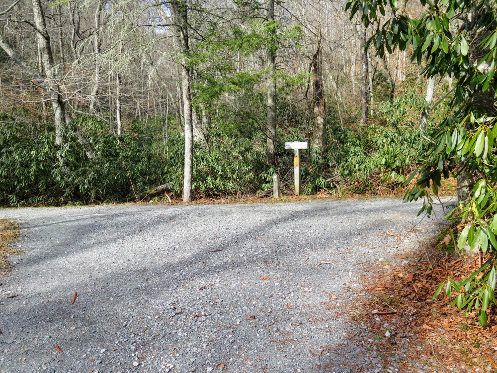
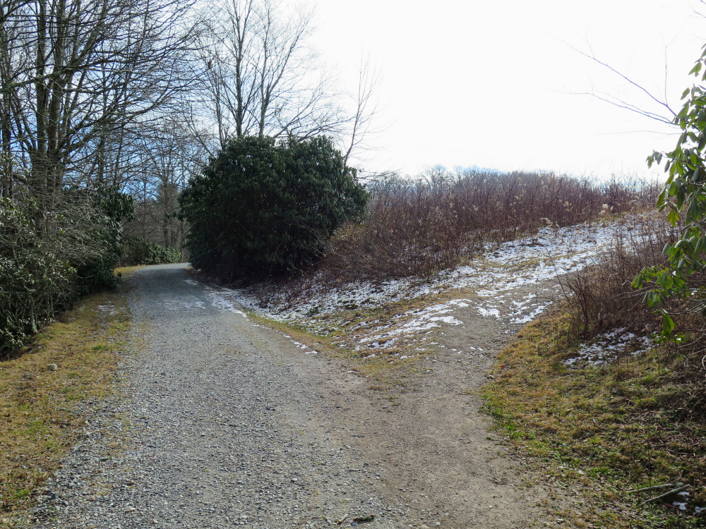
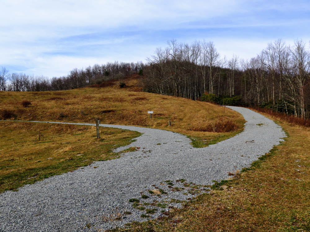
- Mile 3.3 – The carriage road and a footpath shortcut turn right onto a large grazing field. To the left the Carriage Path Connector heads downhill to Trout Lake. Turn right and you’ll see the Rich Mountain Carriage Rd splits at a Y-junction forming a large loop around the base of Rich Mountain. Turn right following the upper loop. The trail climbs moderately up the ridge with periodic views southeast of the park. (The MST turns left at this Y-junction following the lower loop until it leaves the carriage road.)
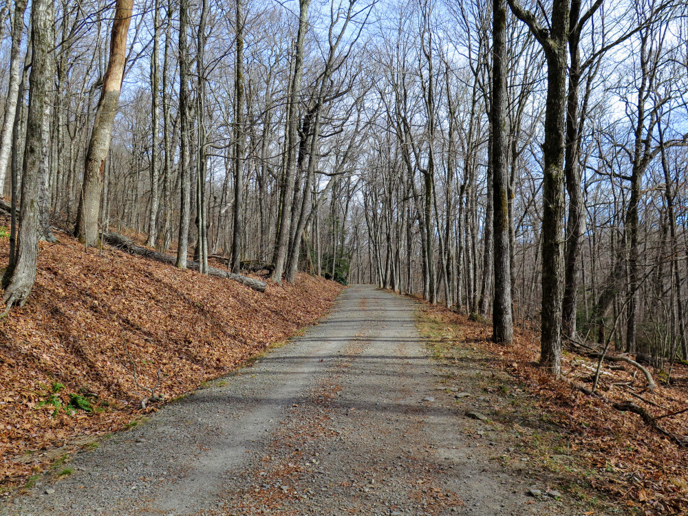
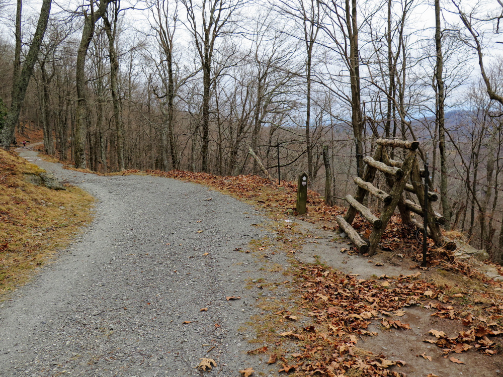
- Mile 3.8 – T-junction with the summit trail on the left and a continuation of the loop on the right. Turn left for the final 0.8-mi to the summit. The carriage road takes its time winding its way to the summit. You’ll encounter and probably be tempted by multiple shortcuts, but please avoid these since they contribute to erosion and aren’t officially maintained.
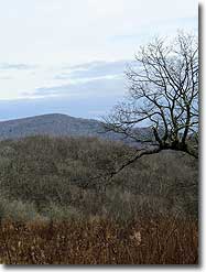
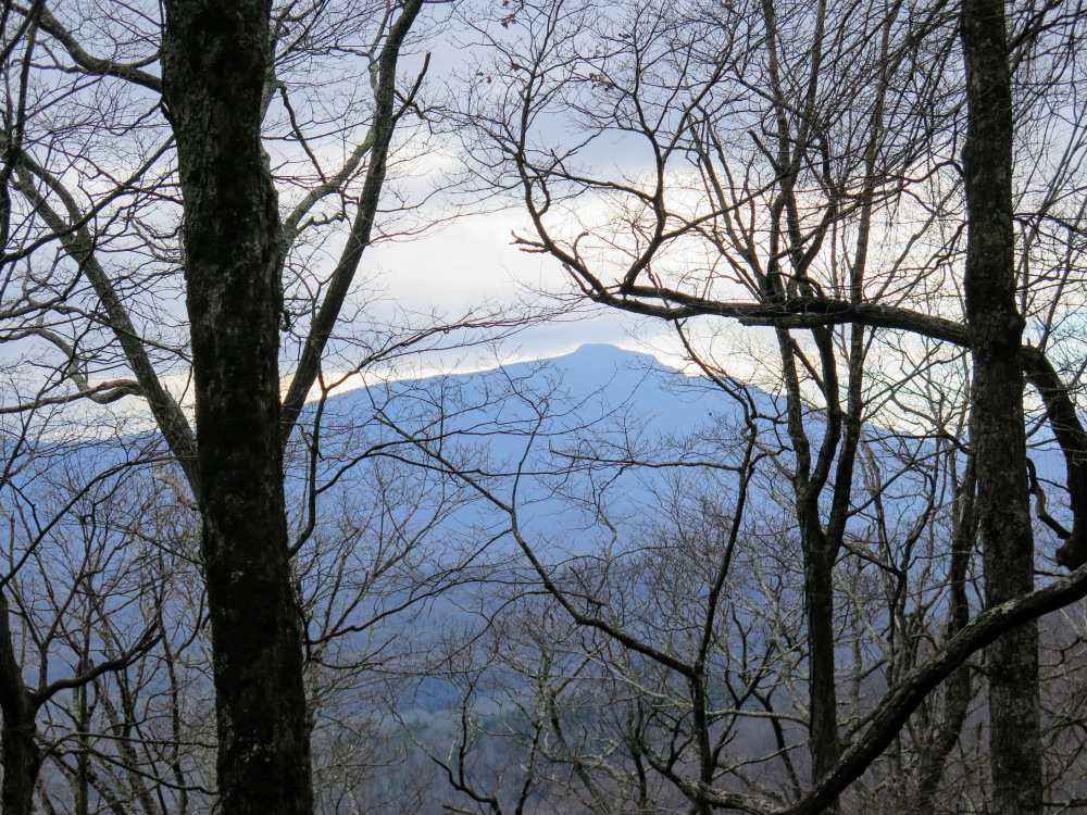
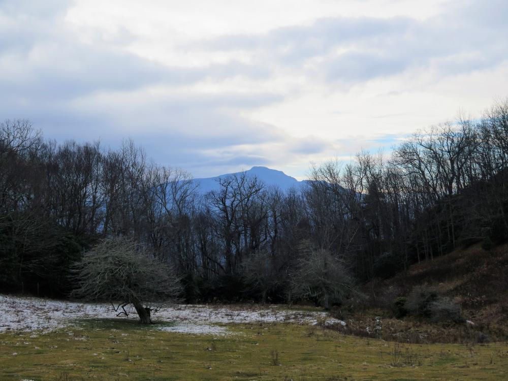
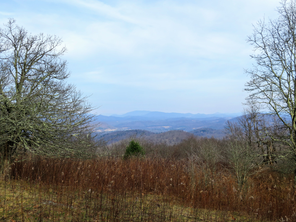
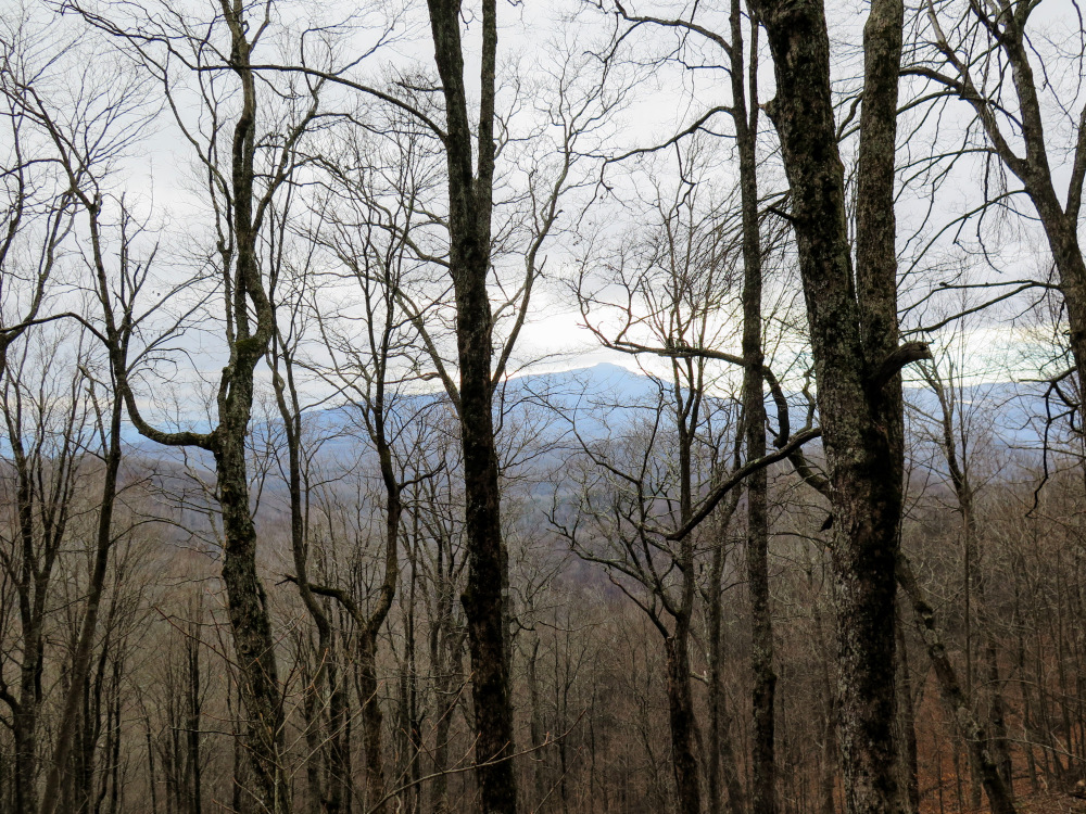
- Mile 4.5 – Reach the summit of Rich Mountain. At 4,370 feet this is the second tallest mountain in the park. The tallest, Flat Top Mountain, can be seen due east. Although Flat Top Mountain has a fire tower, you will not be able to see it without binoculars since the top cab is almost level with the tree line. The summit does not have open views in other directions. On your way back down pause for a nice view northeast of the Amphibolite Range with the South Fork New River Valley below. Any time you are on the west side of the summit you should have clear winter views of Grandfather Mountain and Hanging Rock.
- Mile 5.4 – At the T-junction with the Rich Mountain Carriage Road loop continue straight. The trail immediately turns left heading west on the north side of the summit.
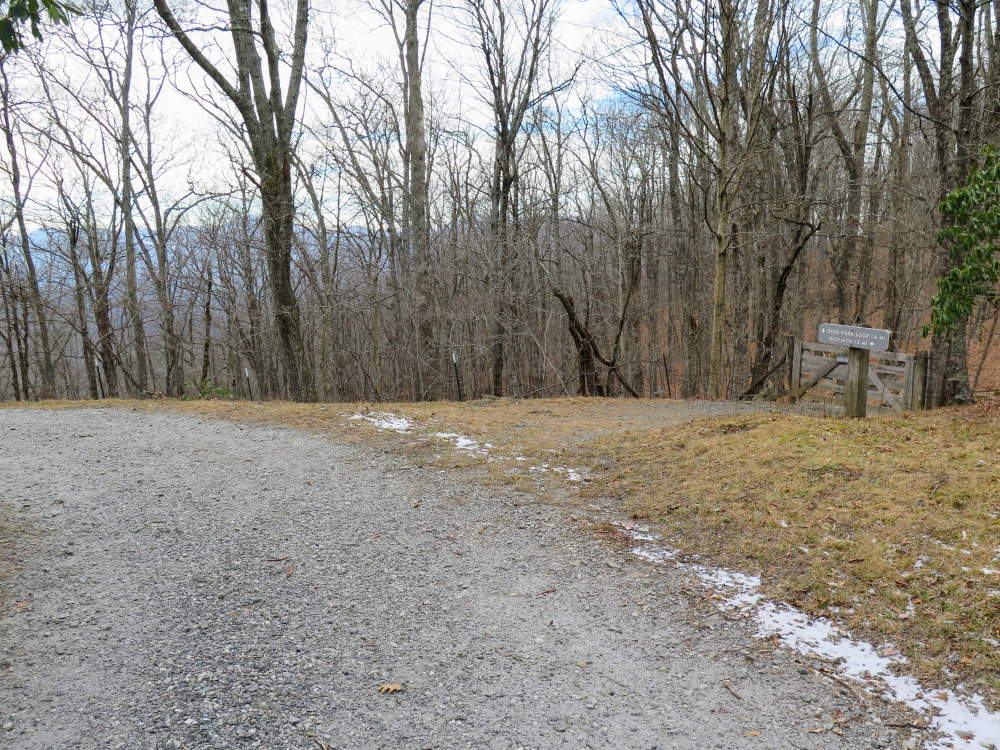
- Mile 5.8 – T-junction with the Deer Park Loop on the right. If you would like to add some mileage take a detour on this loop. From here the carriage road heads south then southeast with Grandfather Mountain your constant companion on the right.
- Mile 6.0 – T-junction with the Mountains-to-Sea Trail. The MST on the right climbs over a stile and continues southwest leaving the park.
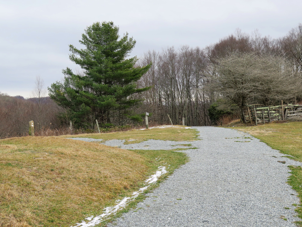
- Mile 6.5 – The loop portion of the carriage road ends at the Y-junction in the field. Continue south following the Carriage Path Connector. Before you leave the field look right for an open view of Calloway Peak on Grandfather Mountain above a saddle.
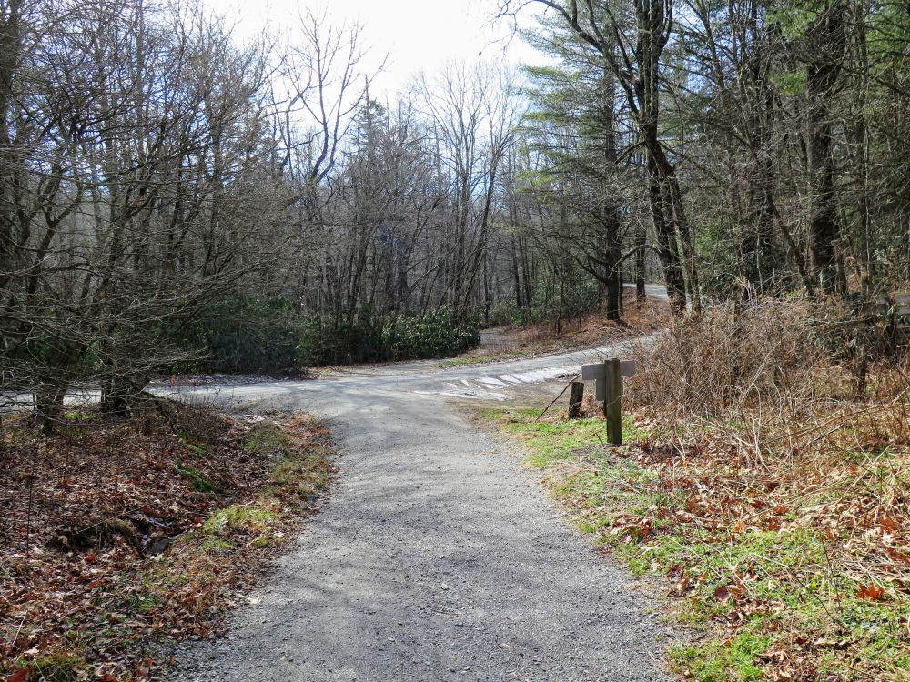
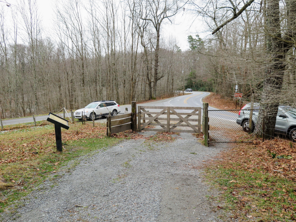
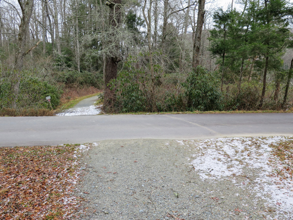
- Mile 7.1 – The Carriage Path Connector ends at a gate beside Shull’s Mill Road. Cross the Trout Lake parking exit road and follow the footpath down to the left.
- Mile 7.15 – Turn right at a T-junction to connect with the Trout Lake Loop.
- Mile 7.2 – Turn right at a cross intersection with the Trout Lake parking entrance following the road. Be mindful of traffic, the road is one-way coming towards you. (You can also go straight through the cross intersection following the loop footpath, they both connect to your exit route.)
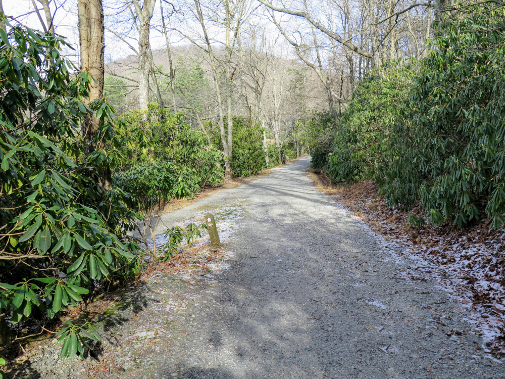
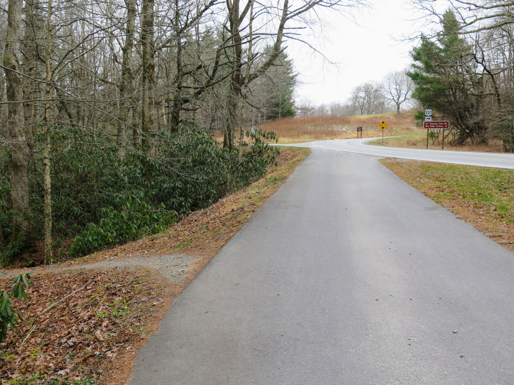
- Mile 7.5 – At a curved junction with Shull’s Mill Rd turn left onto the unsigned footpath before the unsigned Flannery Fork Rd ahead on the left.
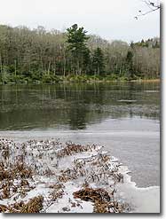
- Mile 7.7 – Side path on the left with an open spot on the shore of Trout Lake.
- Mile 7.8 – The Trout Lake Loop meets the Rich Mountain Carriage Rd at the Y-junction from mile 1.4. Make a hard right to return to the parking area.
- Mile 9.0 – Hike ends at the Cone Manor parking lot.
|
