|
 By Trail Contributor: Zach Robbins (Contact Zach) By Trail Contributor: Zach Robbins (Contact Zach)
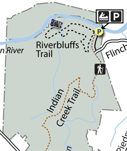
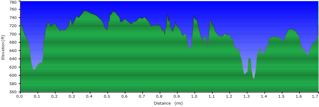
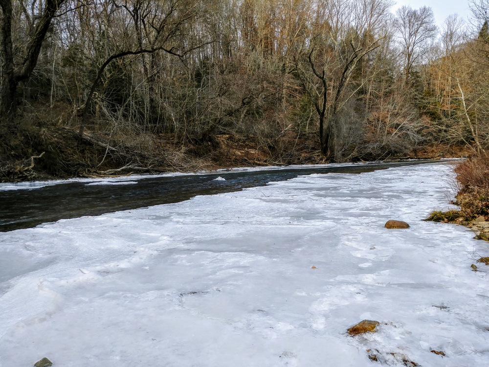
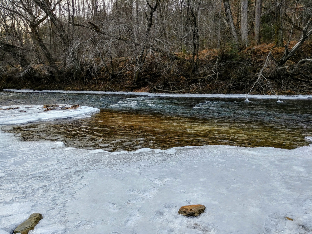
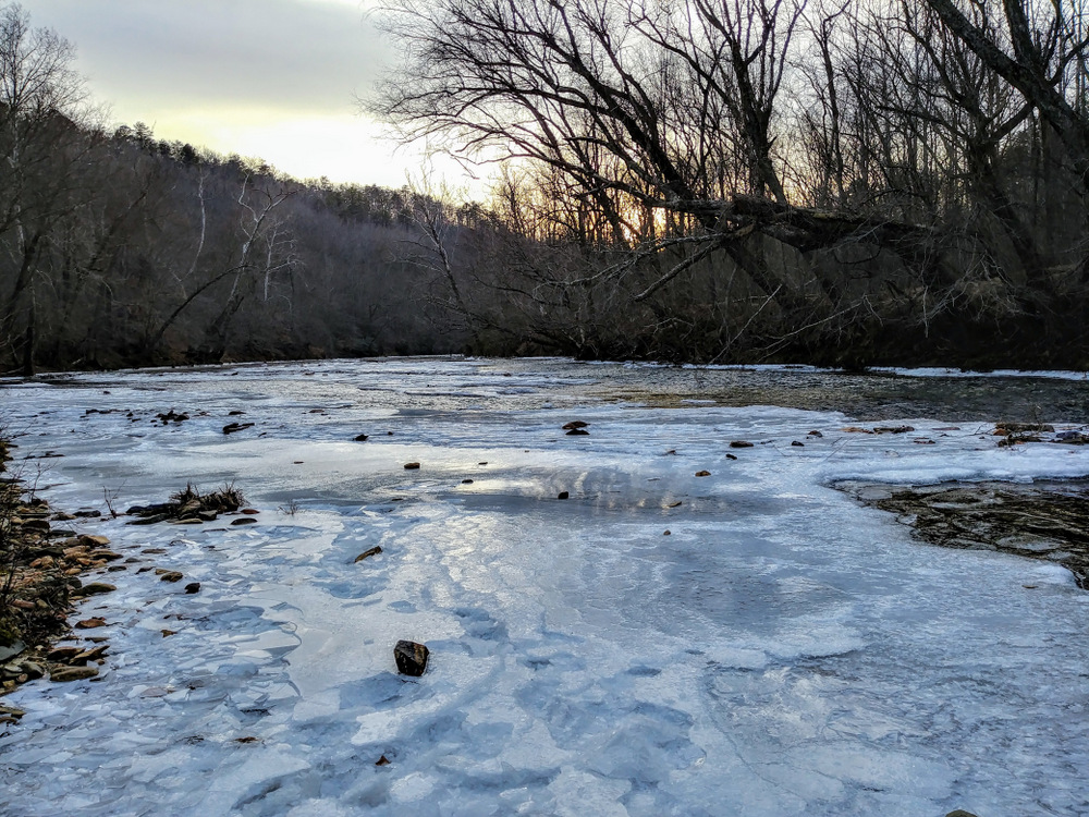
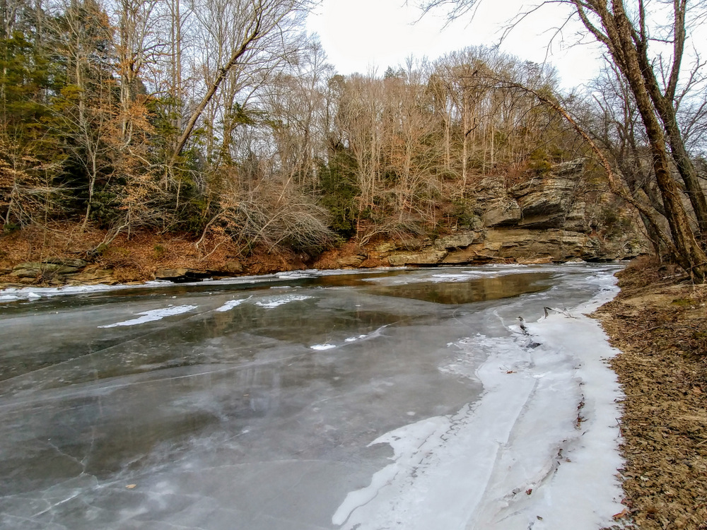
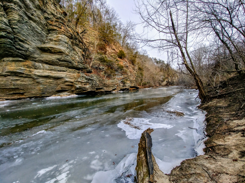
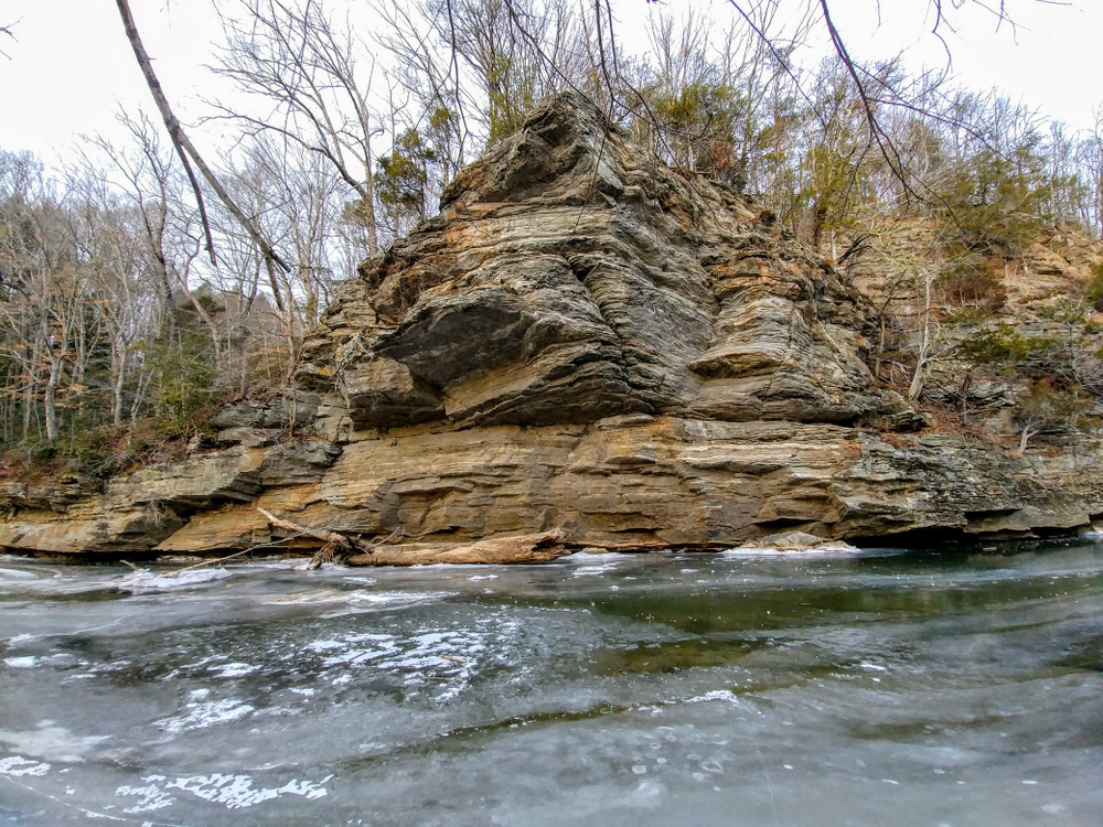
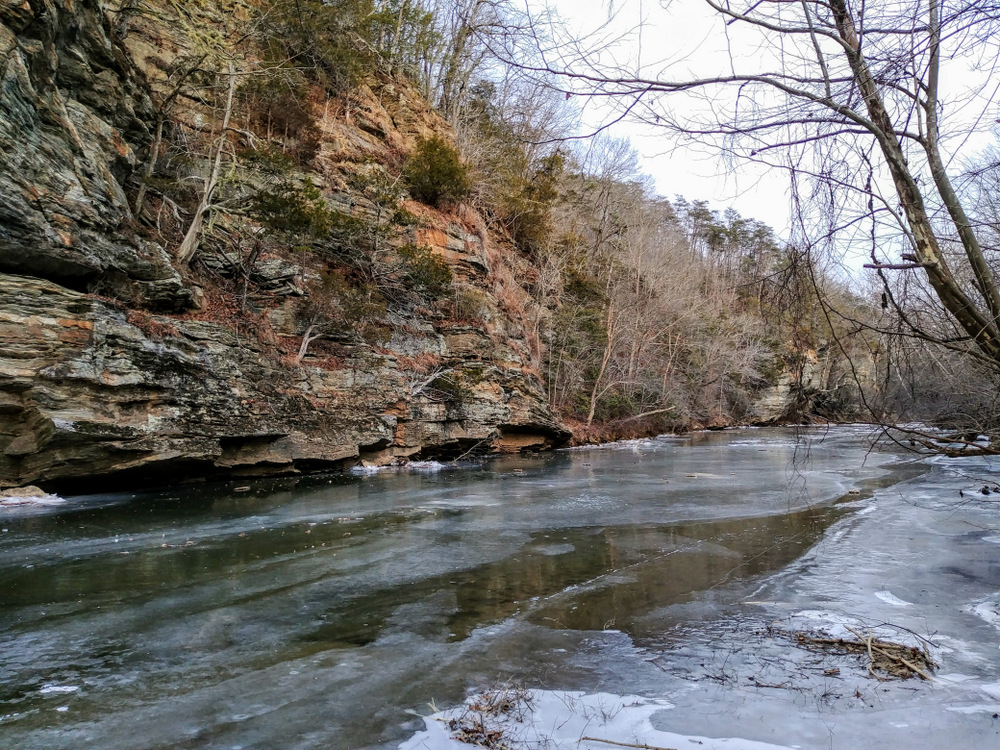
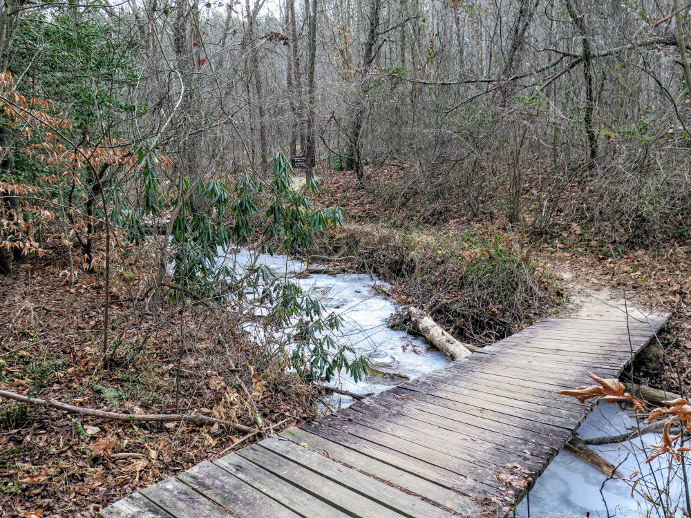
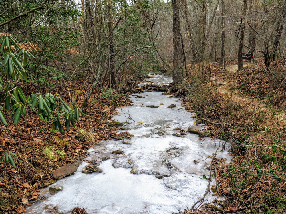
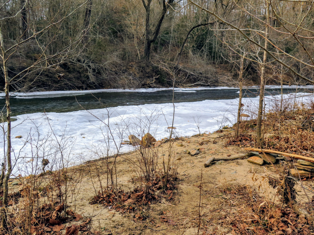
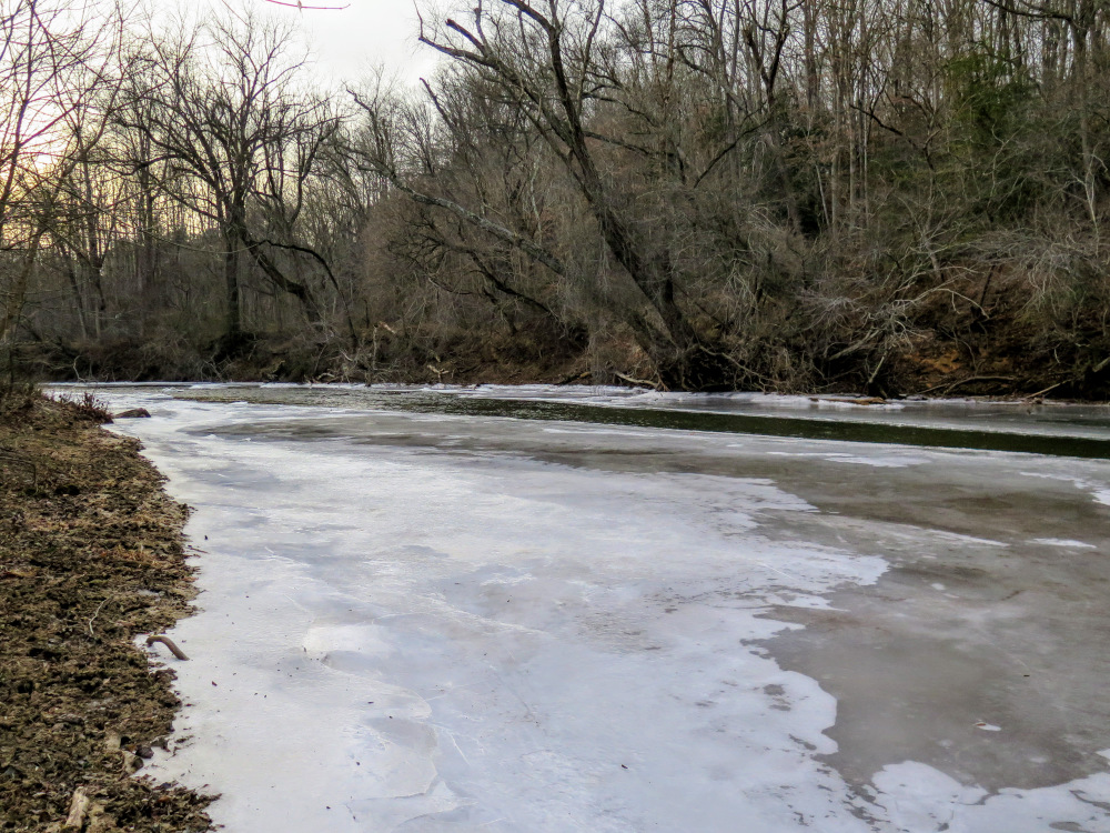
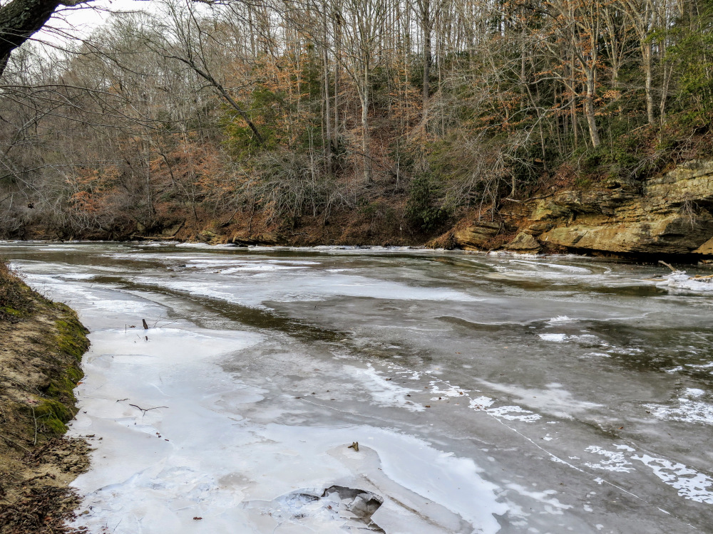
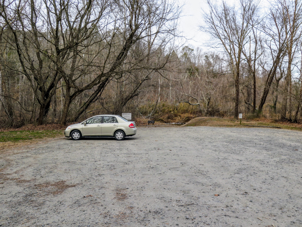
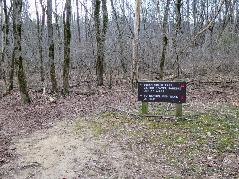
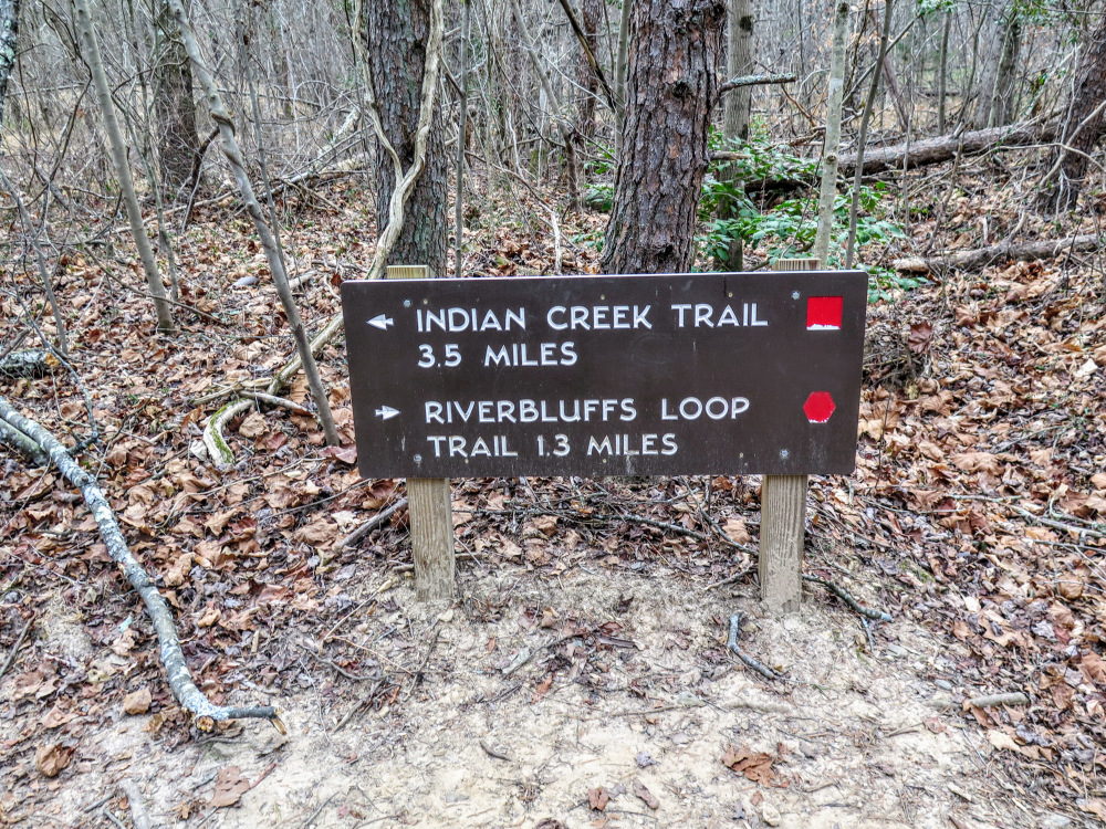
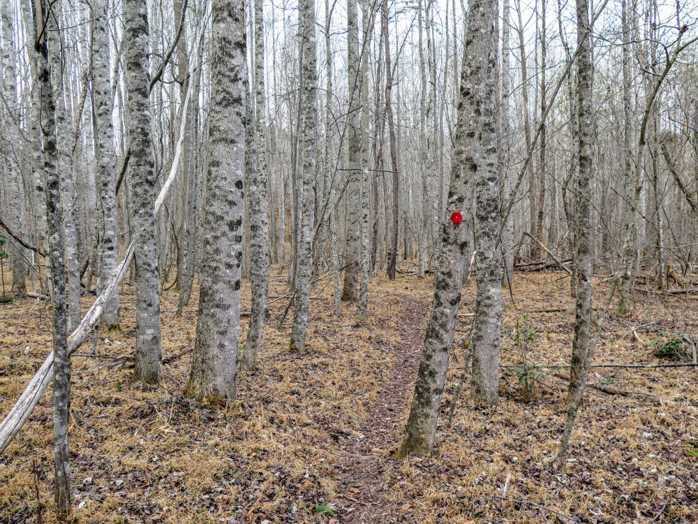
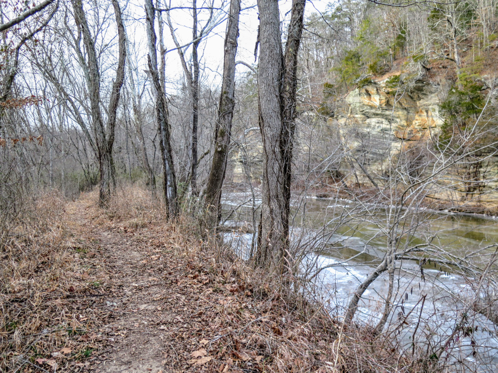
The Riverbluffs Trail is a short, family-friendly hike along the Dan River in Hanging Rock State Park. Situated far away from the main park facilities, the Dan River Access is primarily used by boaters. The Indian Creek Trail and Riverbluffs Trail originate at the access parking area, providing opportunities for a short or longer hike. The Riverbluffs Trail described here takes you along a beautiful stretch of the Dan River with shoals, rapids, and exposed cliffs. If this short hike isn’t enough for you, consider adding the Indian Creek Trail or other trails in the park.
|
